Elevation of Morrell Mountain, Montana, USA
Location: United States > Montana > Powell County >
Longitude: -113.35562
Latitude: 47.2049378
Elevation: 2472m / 8110feet
Barometric Pressure: 75KPa
Elevation Map:
Satellite Map:
Related Photos:
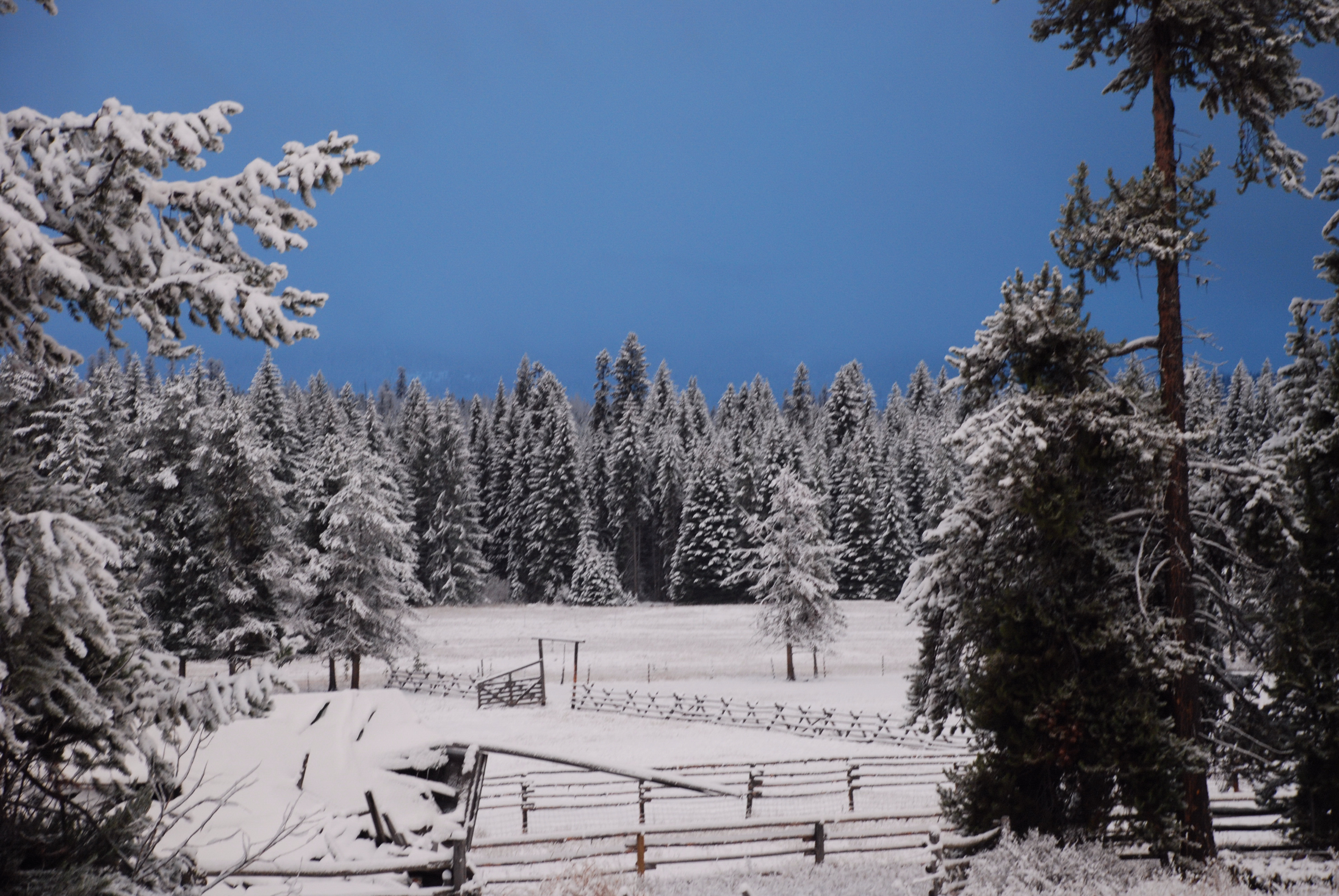
Seeley Lake Montana/this photo is untouched. the sky was that color!
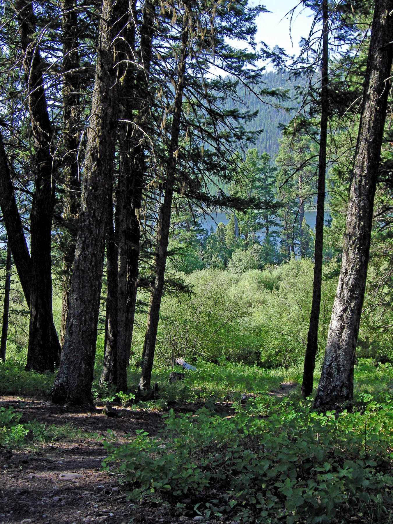
Salmon Lake Camp

Salmon Lake
Topographic Map of Morrell Mountain, Montana, USA
Find elevation by address:

Places near Morrell Mountain, Montana, USA:
Devine Peak
Cottonwood Lakes Road
420 Summit Dr
Monture Mountain
Summit Drive
Elkhorn Road
Stagecoach Court
141 Elkhorn Rd
East Morrell
672 N Canyon Dr
Leota Peak
879 S Canyon Dr
Marshall Mountain
Horseshoe Hills Trail, Bonner, MT, USA
Crescent Mountain
Dunham Point
Seeley Lake
Count Peak
Morrell Falls
2000 Snowmass Dr
Recent Searches:
- Elevation of Corso Fratelli Cairoli, 35, Macerata MC, Italy
- Elevation of Tallevast Rd, Sarasota, FL, USA
- Elevation of 4th St E, Sonoma, CA, USA
- Elevation of Black Hollow Rd, Pennsdale, PA, USA
- Elevation of Oakland Ave, Williamsport, PA, USA
- Elevation of Pedrógão Grande, Portugal
- Elevation of Klee Dr, Martinsburg, WV, USA
- Elevation of Via Roma, Pieranica CR, Italy
- Elevation of Tavkvetili Mountain, Georgia
- Elevation of Hartfords Bluff Cir, Mt Pleasant, SC, USA