Elevation of Mohnyin, Myanmar (Burma)
Location: Myanmar (burma) > Kachin >
Longitude: 96.3598367
Latitude: 24.7753065
Elevation: 213m / 699feet
Barometric Pressure: 99KPa
Elevation Map:
Satellite Map:
Related Photos:

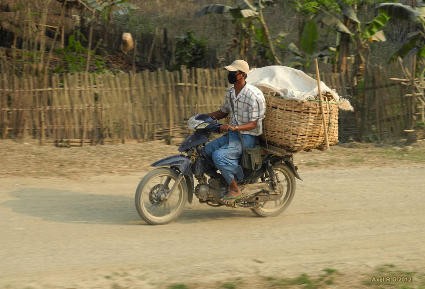
On the way from Mohnyin to Hopin

Mohnyin Railway Station
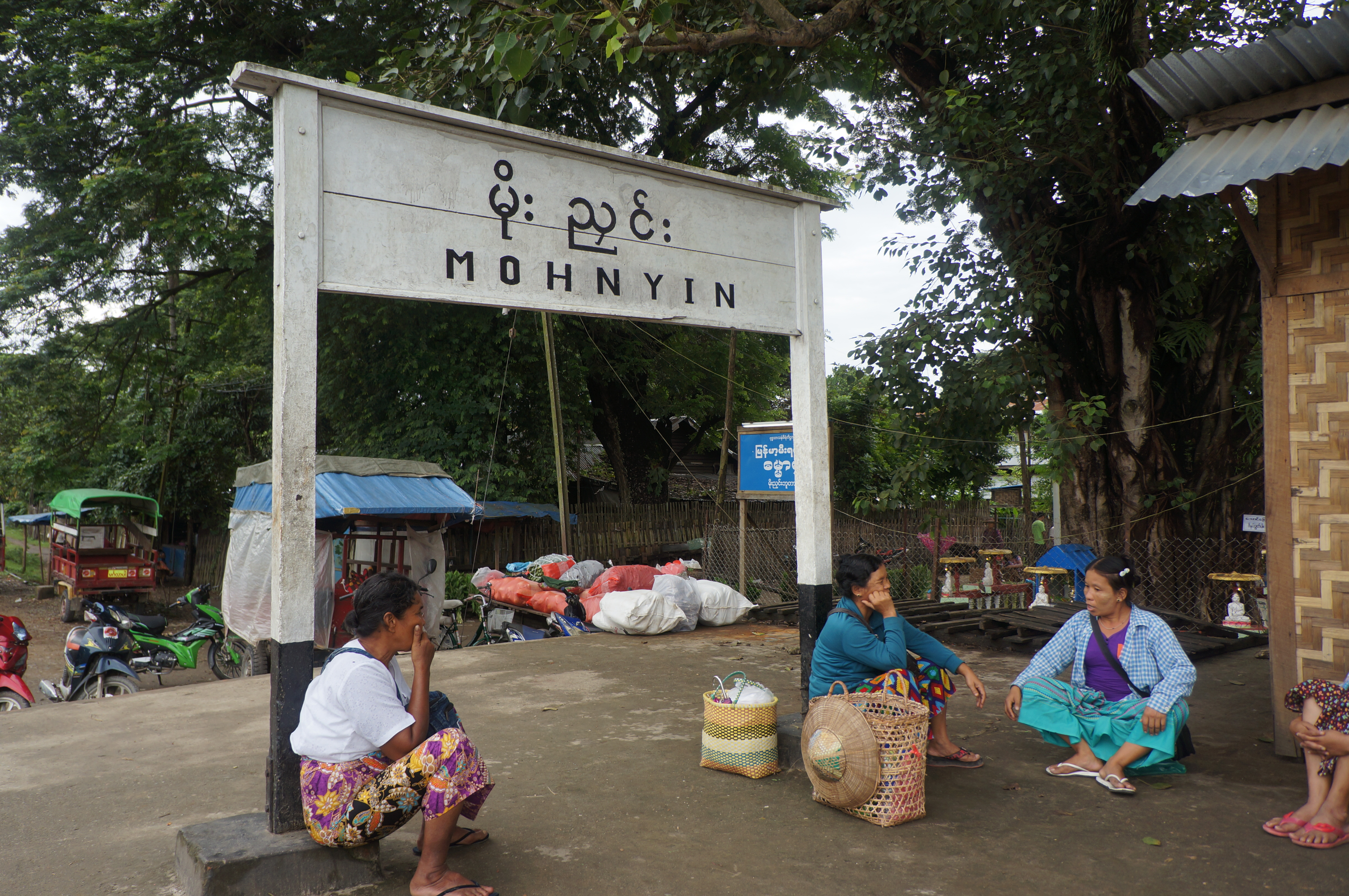
Mohnyin Railway Station
Northern Myanmar
Northern Myanmar

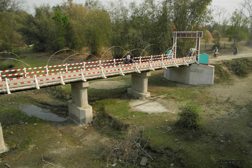
On the way from Katha to Mohnyin
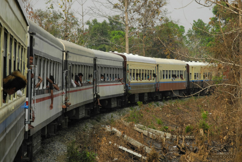
On the train - Northern Myanmar

On the train - Northern Myanmar

Northern Myanmar
Topographic Map of Mohnyin, Myanmar (Burma)
Find elevation by address:

Places near Mohnyin, Myanmar (Burma):
Indawgyi Lake
Let Pan Gone
Memorial Pagoda
မြို့ဦးစေတီ Myo Oo Pagoda
Reclining Buddha Image
Katha
Tan Yaw Zin
Zalon Taung Pagoda
Indaw
Banmauk
Shwegu
Katha
Recent Searches:
- Elevation of Dog Leg Dr, Minden, NV, USA
- Elevation of Dog Leg Dr, Minden, NV, USA
- Elevation of Kambingan Sa Pansol Atbp., Purok 7 Pansol, Candaba, Pampanga, Philippines
- Elevation of Pinewood Dr, New Bern, NC, USA
- Elevation of Mountain View, CA, USA
- Elevation of Foligno, Province of Perugia, Italy
- Elevation of Blauwestad, Netherlands
- Elevation of Bella Terra Blvd, Estero, FL, USA
- Elevation of Estates Loop, Priest River, ID, USA
- Elevation of Woodland Oak Pl, Thousand Oaks, CA, USA