Elevation of Indaw, Myanmar (Burma)
Location: Myanmar (burma) > Sagaing Region > Katha >
Longitude: 96.1434201
Latitude: 24.220844
Elevation: 123m / 404feet
Barometric Pressure: 100KPa
Elevation Map:
Satellite Map:
Related Photos:

Father and son
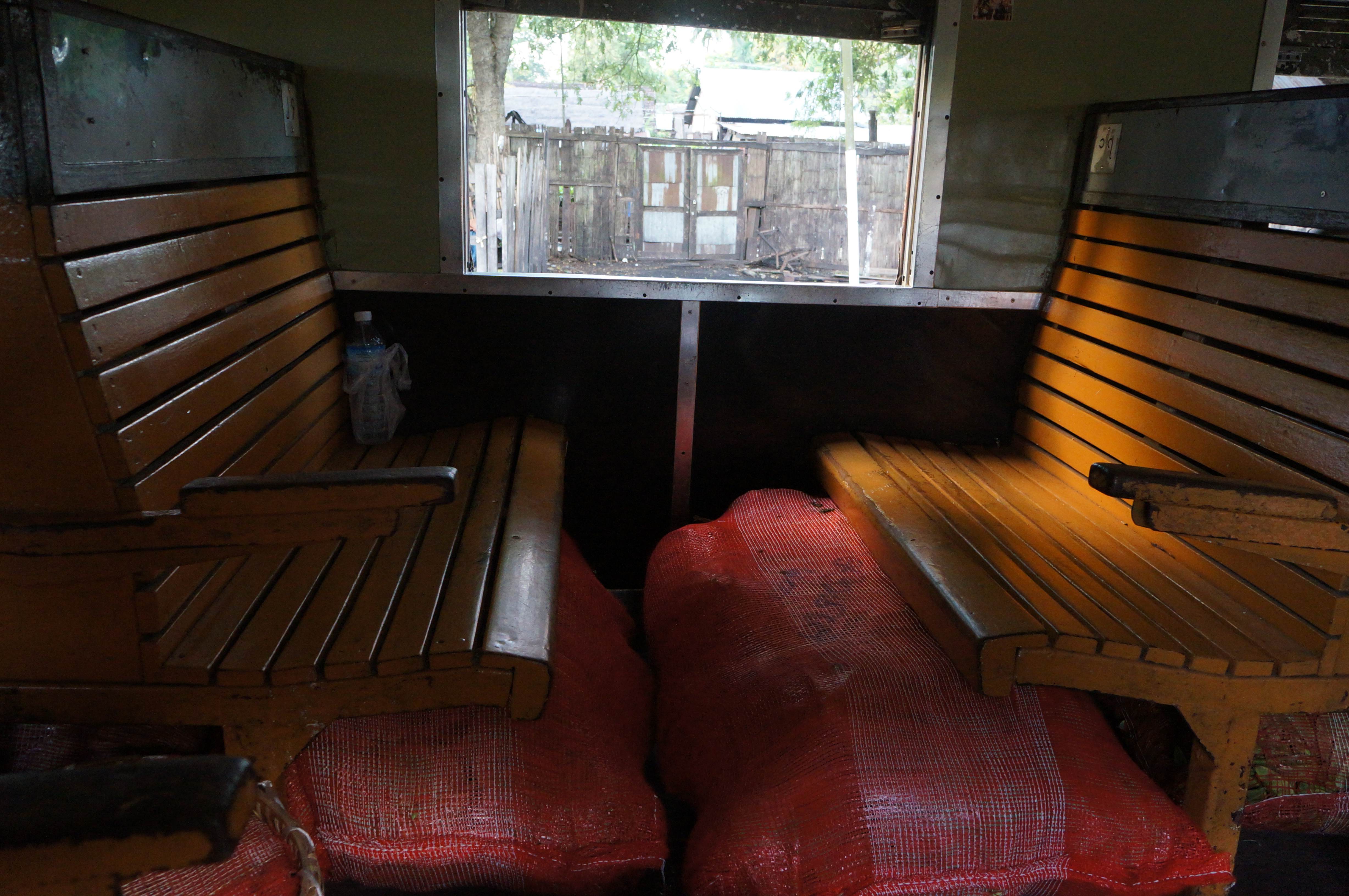
Train compartment

Children in Northern Myanmar

People on the train - Northern Myanmar

People on the train - Northern Myanmar

Stop at Naba - Northern Myanmar

Northern Myanmar

Elephants adore bananas! Carolyn giving the treat
Topographic Map of Indaw, Myanmar (Burma)
Find elevation by address:

Places near Indaw, Myanmar (Burma):
Tan Yaw Zin
Reclining Buddha Image
မြို့ဦးစေတီ Myo Oo Pagoda
Memorial Pagoda
Let Pan Gone
Katha
Katha
Banmauk
Zalon Taung Pagoda
Mohnyin
Shwegu
Indawgyi Lake
Recent Searches:
- Elevation of Dog Leg Dr, Minden, NV, USA
- Elevation of Dog Leg Dr, Minden, NV, USA
- Elevation of Kambingan Sa Pansol Atbp., Purok 7 Pansol, Candaba, Pampanga, Philippines
- Elevation of Pinewood Dr, New Bern, NC, USA
- Elevation of Mountain View, CA, USA
- Elevation of Foligno, Province of Perugia, Italy
- Elevation of Blauwestad, Netherlands
- Elevation of Bella Terra Blvd, Estero, FL, USA
- Elevation of Estates Loop, Priest River, ID, USA
- Elevation of Woodland Oak Pl, Thousand Oaks, CA, USA