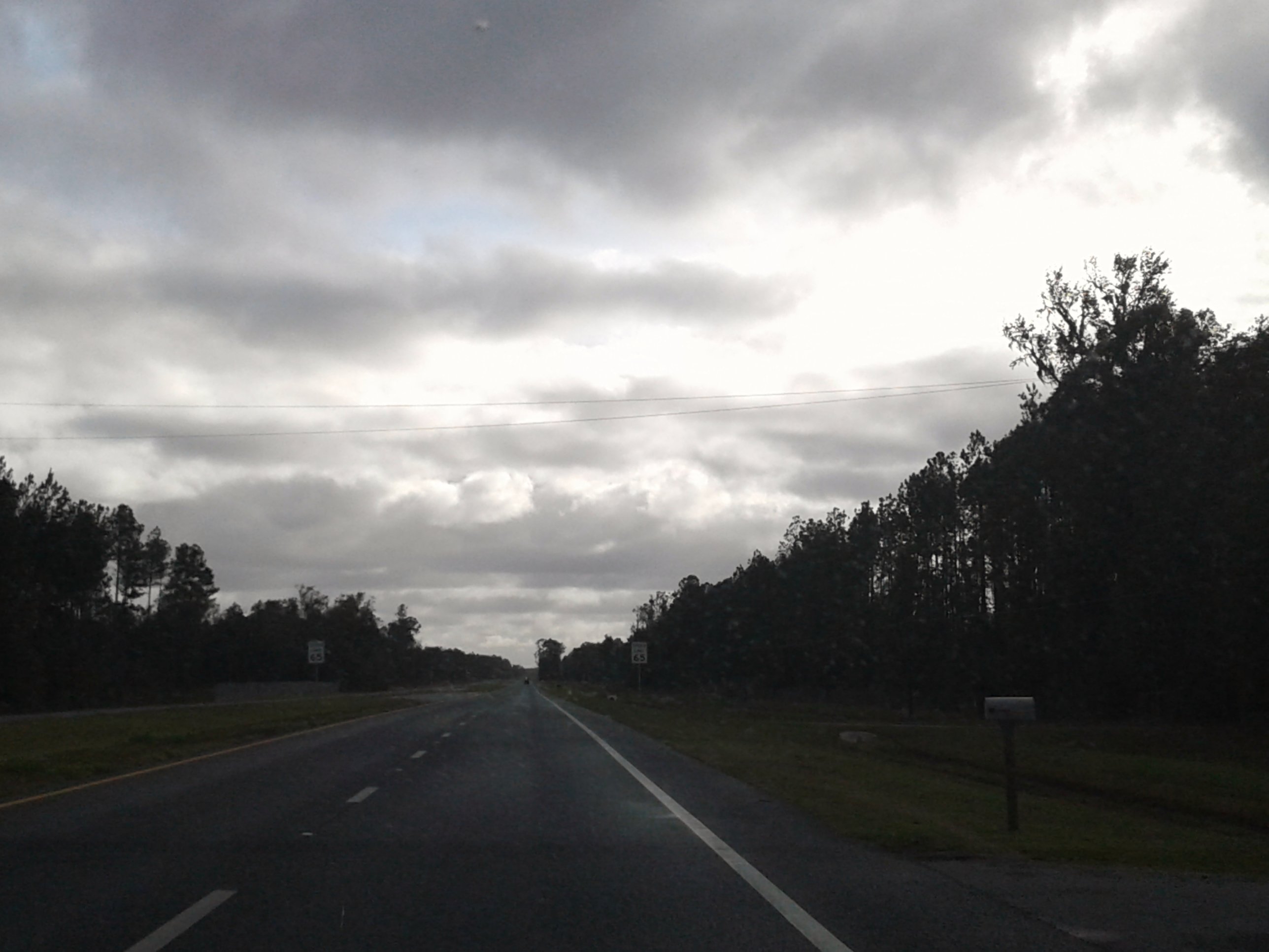
Elevation of Mitigation Trail, Callahan, FL, USA
Location: United States > Florida > Nassau County > Callahan >
Longitude: -81.929397
Latitude: 30.4983892
Elevation: -10000m / -32808feet
Barometric Pressure: 295KPa
Elevation Map:
Satellite Map:
Related Photos:

NS 1067 into Florida

@ the beach

Lost?

DSC_9463-Edit
Driving south on US 301

NEFIvsWN-1

NEFIvsWN-2

NEFIvsWN-3

NEFIvsWN-5

NEFIvsWN-6

NEFIvsWN-7

NEFIvsWN-8

NEFIvsWN-9

NEFIvsWN-10

NEFIvsWN-11

NEFIvsWN-12

NEFIvsWN-13

NEFIvsWN-14

NEFIvsWN-16

NEFIvsWN-17

NEFIvsWN-18

NEFIvsWN-20

NEFIvsWN-19

NEFIvsWN-21
Topographic Map of Mitigation Trail, Callahan, FL, USA
Find elevation by address:

Places near Mitigation Trail, Callahan, FL, USA:
Mitigation Trail
Mitigation Trail
US-, Bryceville, FL, USA
Meadows Lane
US-, Bryceville, FL, USA
Thomas Creek Road
34394 Daybreak Dr
35165 Sherry Rd
Thomas Creek Dr, Callahan, FL, USA
43113 Partridge Tr
Tom Crawford Road
43087 Kids Coach Ln
4277 Windy Ln
17436 Draggle Ln
43051 Larsen Rd
44086 Red Oak Ct
45001 Aspen Way
35592 Quail Rd
Hunters Chase Court
10118 Hunters Chase Ct
Recent Searches:
- Elevation of Grodna District, Hrodna Region, Belarus
- Elevation of Hrodna, Hrodna Region, Belarus
- Elevation of Sandia Derby Estates, Tijeras, NM, USA
- Elevation of 23 Sunrise View Ct, Tijeras, NM, USA
- Elevation of Lytham Ln, Katy, TX, USA
- Elevation of Tater Hill, Oklahoma, USA
- Elevation of NY-, Friendship, NY, USA
- Elevation of 64 Danakas Dr, Winnipeg, MB R2C 5N7, Canada
- Elevation of 4 Vale Rd, Sheffield S3 9QX, UK
- Elevation of Keene Point Drive, Keene Point Dr, Grant, AL, USA