Elevation of Sherry Rd, Callahan, FL, USA
Location: United States > Florida > Nassau County > Callahan >
Longitude: -81.874549
Latitude: 30.5572899
Elevation: -10000m / -32808feet
Barometric Pressure: 295KPa
Elevation Map:
Satellite Map:
Related Photos:

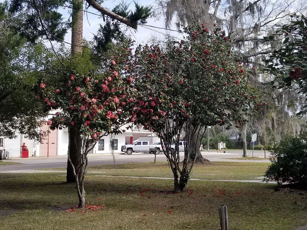
Near Callahan, Florida

NS 1067 into Florida

Lost?

MemorialDay_2015-2193

2018-08-29_10-52-52
Florida. February 2019.

Florida. February 2019.

DSC_9463-Edit
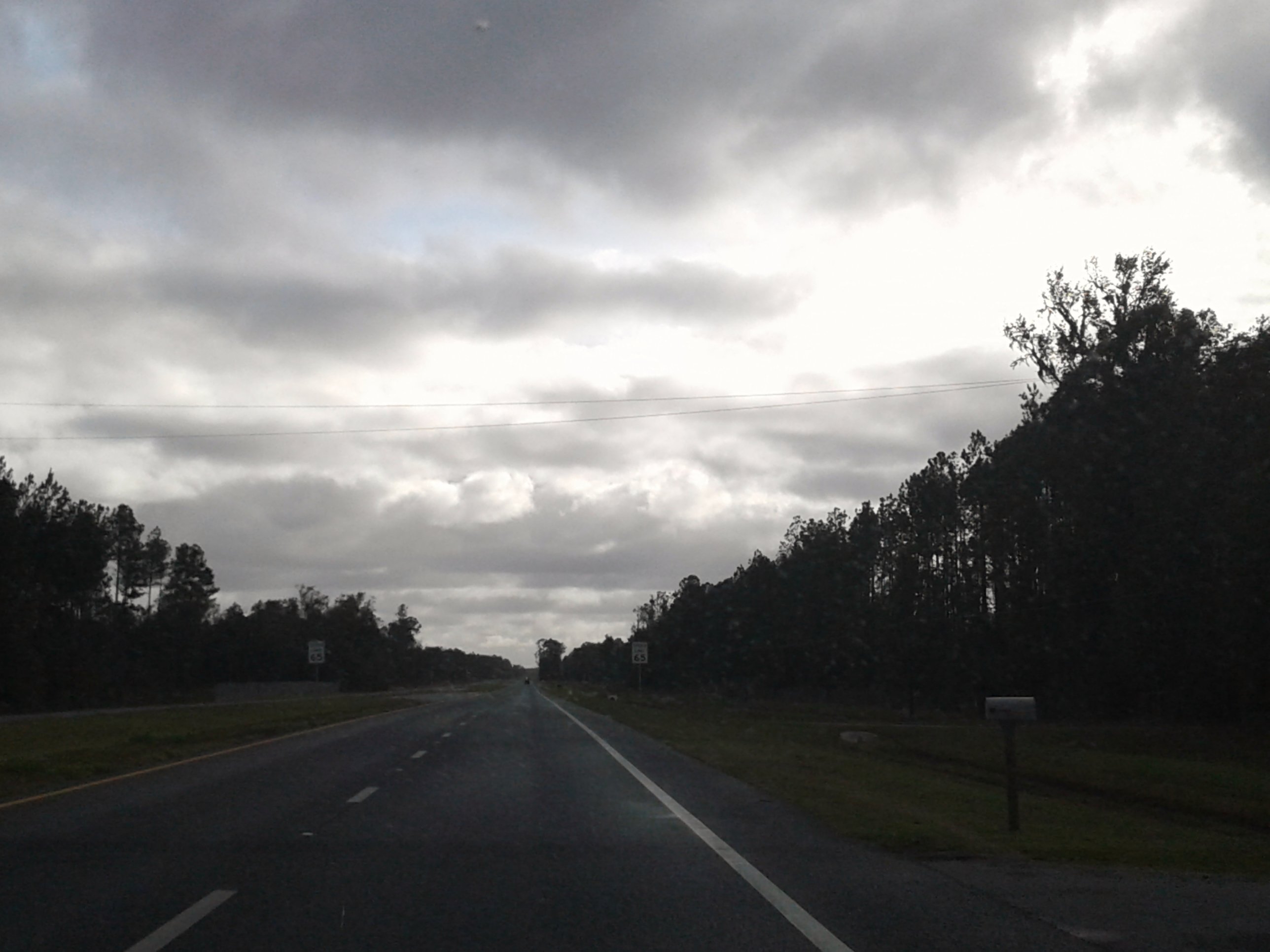
Driving south on US 301

NEFIvsWN-1

NEFIvsWN-2

NEFIvsWN-3

NEFIvsWN-5

NEFIvsWN-6

NEFIvsWN-7

NEFIvsWN-8

NEFIvsWN-9

NEFIvsWN-10

NEFIvsWN-11

NEFIvsWN-12

NEFIvsWN-13

NEFIvsWN-14

NEFIvsWN-16

NEFIvsWN-17
Topographic Map of Sherry Rd, Callahan, FL, USA
Find elevation by address:

Places near Sherry Rd, Callahan, FL, USA:
45001 Aspen Way
35592 Quail Rd
34394 Daybreak Dr
450854 Old Dixie Hwy
44086 Red Oak Ct
45252 Pickett St
Callahan
Thomas Creek Road
Meadows Lane
Thomas Creek Dr, Callahan, FL, USA
44079 Lee Dr
43113 Partridge Tr
43087 Kids Coach Ln
44267 Green Meadows Ln
44698 Green Meadows Ln
43051 Larsen Rd
Hurst Rd, Callahan, FL, USA
3381 S Kings Rd
3389 S Kings Rd
US-, Bryceville, FL, USA
Recent Searches:
- Elevation of W Granada St, Tampa, FL, USA
- Elevation of Pykes Down, Ivybridge PL21 0BY, UK
- Elevation of Jalan Senandin, Lutong, Miri, Sarawak, Malaysia
- Elevation of Bilohirs'k
- Elevation of 30 Oak Lawn Dr, Barkhamsted, CT, USA
- Elevation of Luther Road, Luther Rd, Auburn, CA, USA
- Elevation of Unnamed Road, Respublika Severnaya Osetiya — Alaniya, Russia
- Elevation of Verkhny Fiagdon, North Ossetia–Alania Republic, Russia
- Elevation of F. Viola Hiway, San Rafael, Bulacan, Philippines
- Elevation of Herbage Dr, Gulfport, MS, USA