Elevation of Missouri W, Foley, MO, USA
Location: United States > Missouri >
Longitude: -90.877885
Latitude: 39.050833
Elevation: 197m / 646feet
Barometric Pressure: 0KPa
Related Photos:

Juvenile Bald Eagle - Foley, Missouri

Heron in a Tree in Foley, Missouri
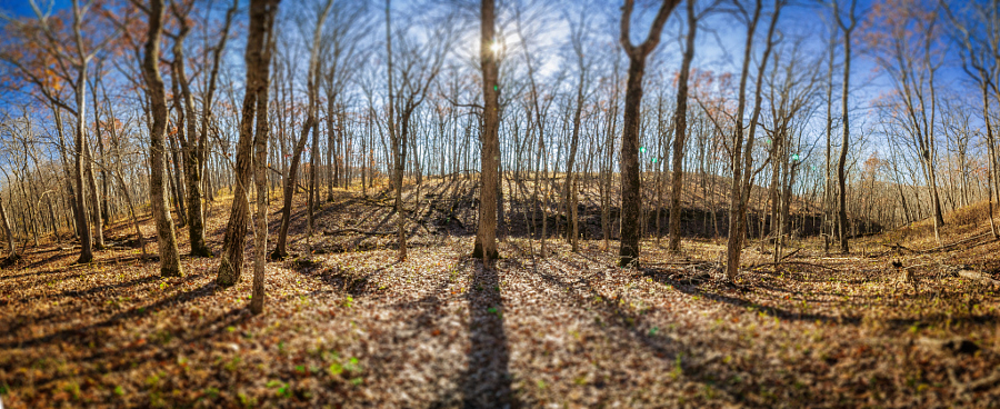
Cuivre River State Park fall of 2015

Ruby Lillie

#missouri #autumn #october #cuivreriverstatepark
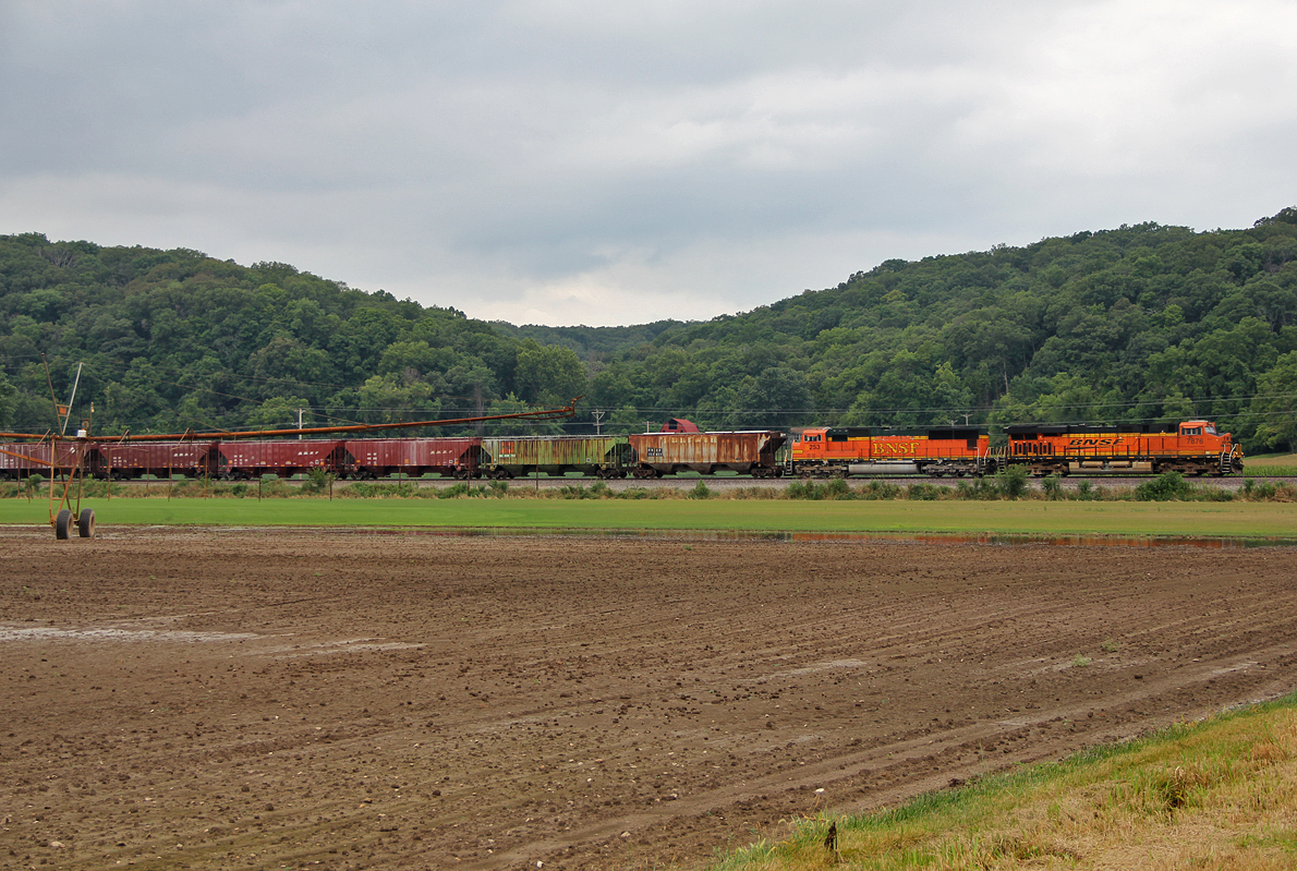
BNSF 7876 @ Foley
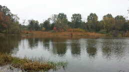
Logan conservation area
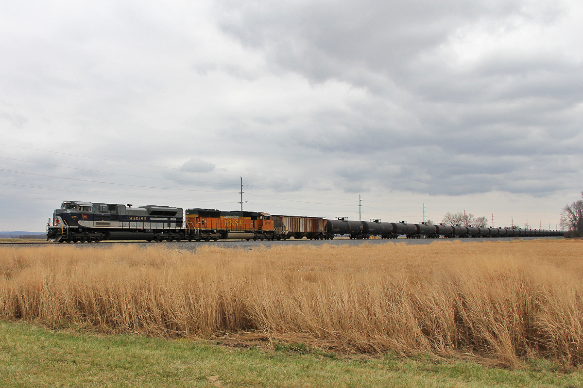
NS 1070 @ Elsberry

Gorgeous clouds today

Sugar Creek
I Stand Alone

Cuivre River State Park, near Troy, Missouri, USA - orange flowers with butterfly

Lady of the House

Cotton tail Rabbit

Peters next Generation

Maiden Fern

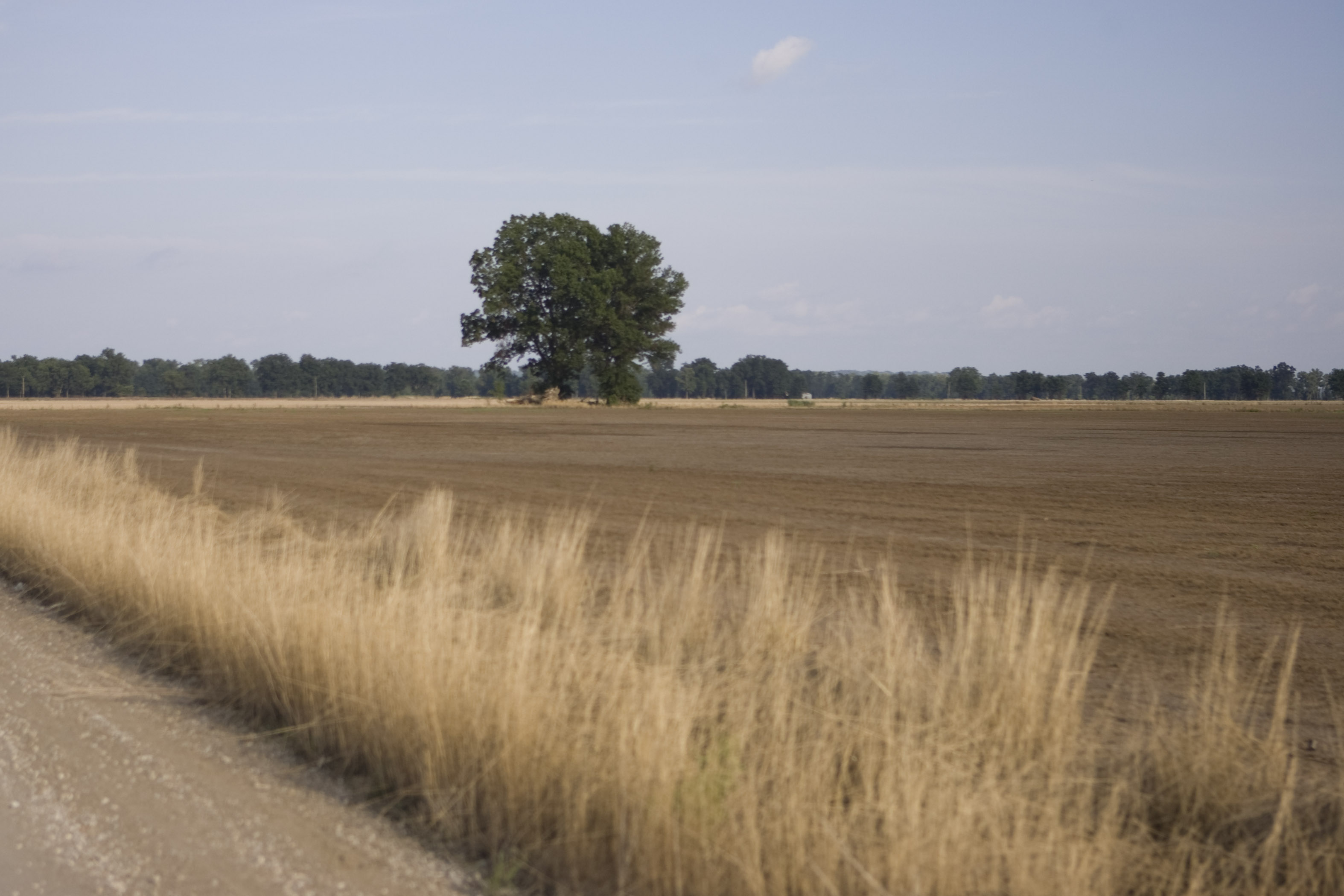
Lone oak. #rural #farm #field #missouri #summer #september #troy
Topographic Map of Missouri W, Foley, MO, USA
Find elevation by address:

Places near Missouri W, Foley, MO, USA:
Snow Hill Township
412 Jacks Rd
Lincoln Hills Road
Old Highway Y
78 Cardinal Ln, Elsberry, MO, USA
1060 State Hwy Y
Lincoln County
Lincoln County
Burr Oak Township
Madden Rd, Troy, MO, USA
State Hwy E, Elsberry, MO, USA
Hurricane Township
Foley
Railroad Ave, Foley, MO, USA
Shafer Rd, Troy, MO, USA
Davis
Paris Branch Rd, Troy, MO, USA
Union Township
Elsberry
55 Brake Rd
Recent Searches:
- Elevation map of Greenland, Greenland
- Elevation of Sullivan Hill, New York, New York, 10002, USA
- Elevation of Morehead Road, Withrow Downs, Charlotte, Mecklenburg County, North Carolina, 28262, USA
- Elevation of 2800, Morehead Road, Withrow Downs, Charlotte, Mecklenburg County, North Carolina, 28262, USA
- Elevation of Yangbi Yi Autonomous County, Yunnan, China
- Elevation of Pingpo, Yangbi Yi Autonomous County, Yunnan, China
- Elevation of Mount Malong, Pingpo, Yangbi Yi Autonomous County, Yunnan, China
- Elevation map of Yongping County, Yunnan, China
- Elevation of North 8th Street, Palatka, Putnam County, Florida, 32177, USA
- Elevation of 107, Big Apple Road, East Palatka, Putnam County, Florida, 32131, USA
- Elevation of Jiezi, Chongzhou City, Sichuan, China
- Elevation of Chongzhou City, Sichuan, China
- Elevation of Huaiyuan, Chongzhou City, Sichuan, China
- Elevation of Qingxia, Chengdu, Sichuan, China
- Elevation of Corso Fratelli Cairoli, 35, Macerata MC, Italy
- Elevation of Tallevast Rd, Sarasota, FL, USA
- Elevation of 4th St E, Sonoma, CA, USA
- Elevation of Black Hollow Rd, Pennsdale, PA, USA
- Elevation of Oakland Ave, Williamsport, PA, USA
- Elevation of Pedrógão Grande, Portugal