Elevation of State Hwy E, Elsberry, MO, USA
Location: United States > Missouri > Lincoln County > Union Township >
Longitude: -90.970737
Latitude: 39.127327
Elevation: 229m / 751feet
Barometric Pressure: 99KPa
Elevation Map:
Satellite Map:
Related Photos:

Missouri Stars

Nicholas Kientzy - A Bug's View

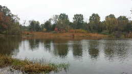
#missouri #autumn #october #cuivreriverstatepark
Logan conservation area

Lone tree

Sugar Creek
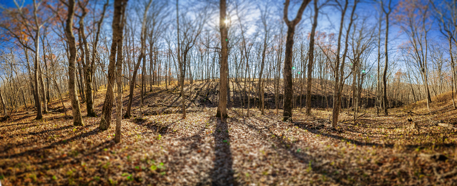
Cuivre River State Park fall of 2015

Cuivre River State Park, near Troy, Missouri, USA - orange flowers with butterfly

Ruby Lillie

Lone oak. #rural #farm #field #missouri #summer #september #troy
Topographic Map of State Hwy E, Elsberry, MO, USA
Find elevation by address:

Places near State Hwy E, Elsberry, MO, USA:
Union Township
Lincoln County
Lincoln County
Silex
Davis
Paris Branch Rd, Troy, MO, USA
412 Jacks Rd
55 Brake Rd
Madden Rd, Troy, MO, USA
Shafer Rd, Troy, MO, USA
78 Cardinal Ln, Elsberry, MO, USA
Lincoln Hills Road
Snow Hill Township
Missouri W, Foley, MO, USA
Hurricane Township
Old Highway Y
Elsberry
1060 State Hwy Y
Burr Oak Township
Foley
Recent Searches:
- Elevation of Felindre, Swansea SA5 7LU, UK
- Elevation of Leyte Industrial Development Estate, Isabel, Leyte, Philippines
- Elevation of W Granada St, Tampa, FL, USA
- Elevation of Pykes Down, Ivybridge PL21 0BY, UK
- Elevation of Jalan Senandin, Lutong, Miri, Sarawak, Malaysia
- Elevation of Bilohirs'k
- Elevation of 30 Oak Lawn Dr, Barkhamsted, CT, USA
- Elevation of Luther Road, Luther Rd, Auburn, CA, USA
- Elevation of Unnamed Road, Respublika Severnaya Osetiya — Alaniya, Russia
- Elevation of Verkhny Fiagdon, North Ossetia–Alania Republic, Russia