Elevation of Mirebeau-sur-Bèze, France
Location: France > Bourgogne-franche-comté > Côte-d'or >
Longitude: 5.3167669
Latitude: 47.398675
Elevation: 199m / 653feet
Barometric Pressure: 99KPa
Elevation Map:
Satellite Map:
Related Photos:
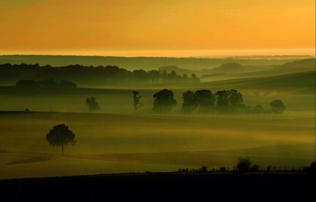
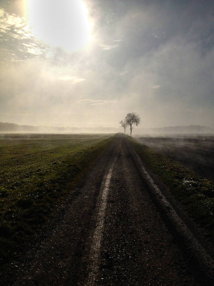
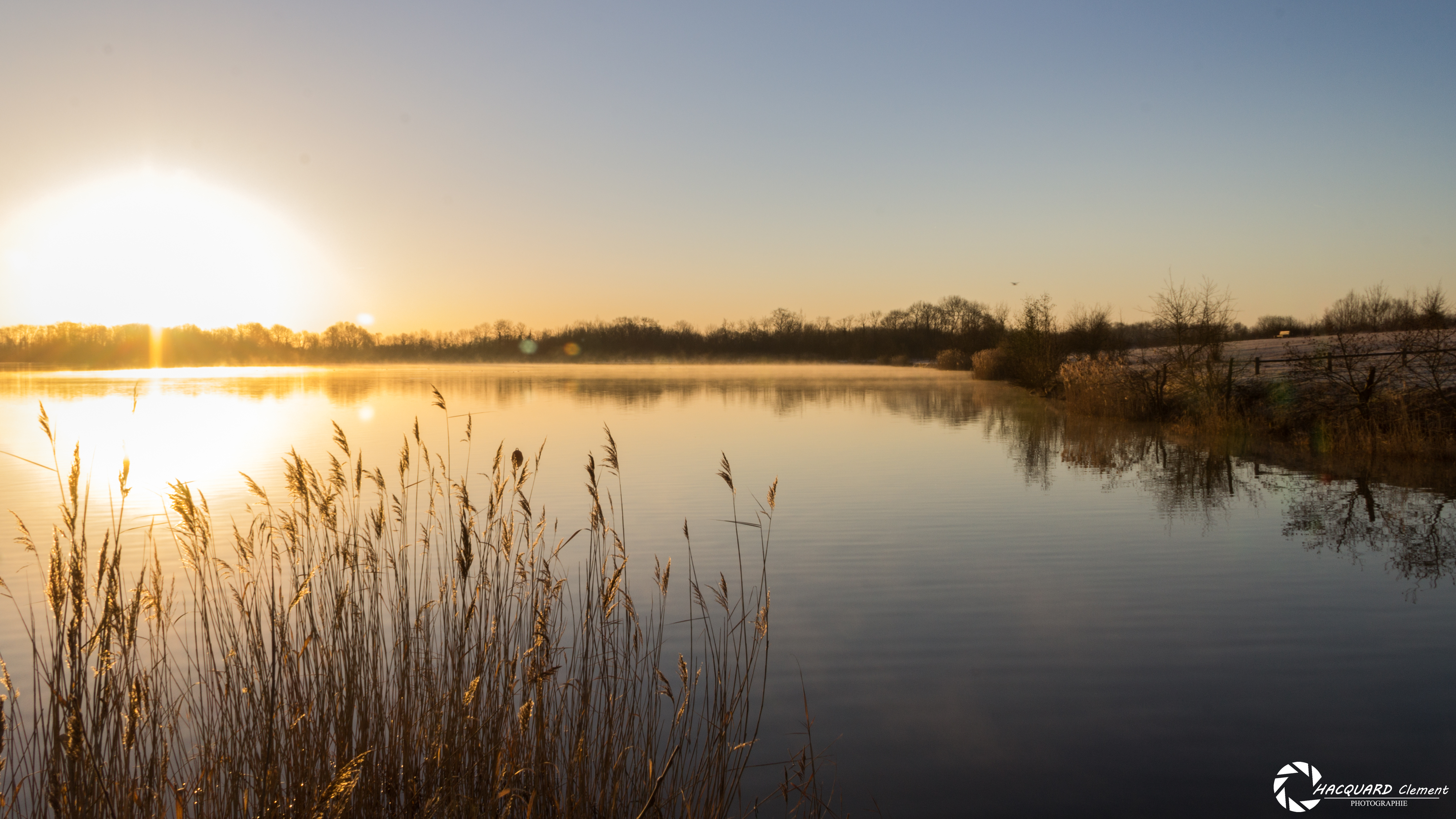
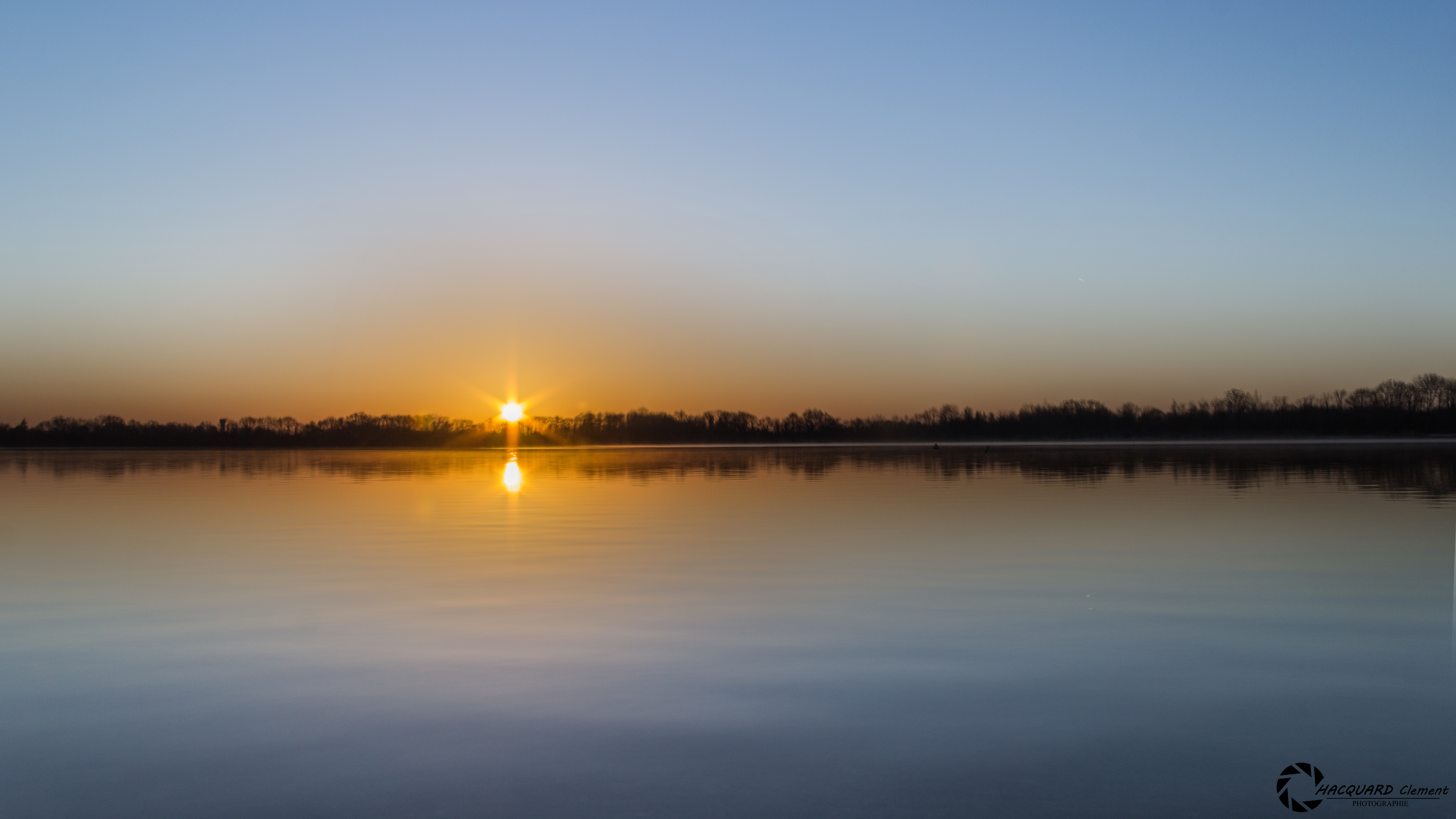
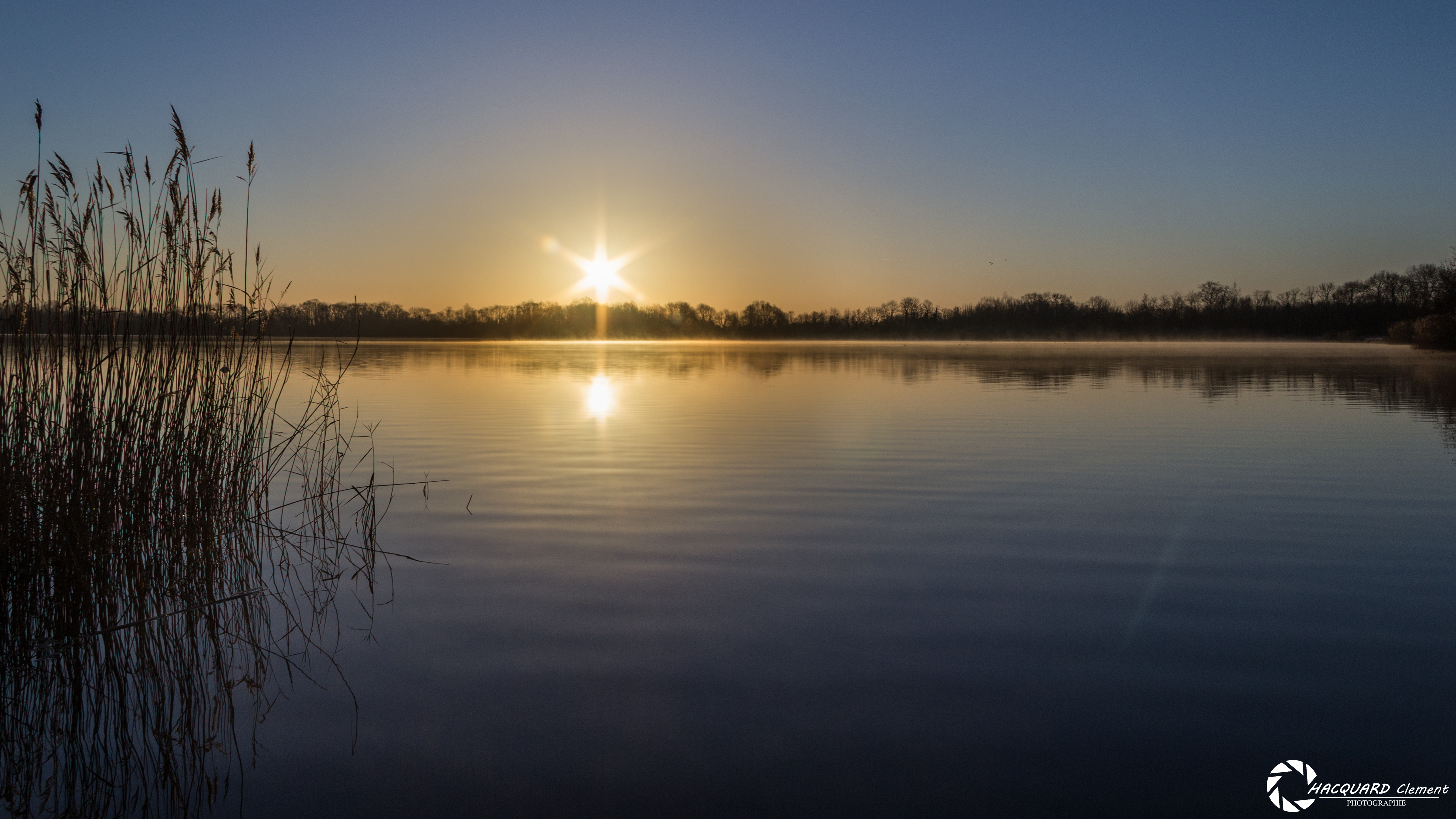
the best morning view a photographer can wish
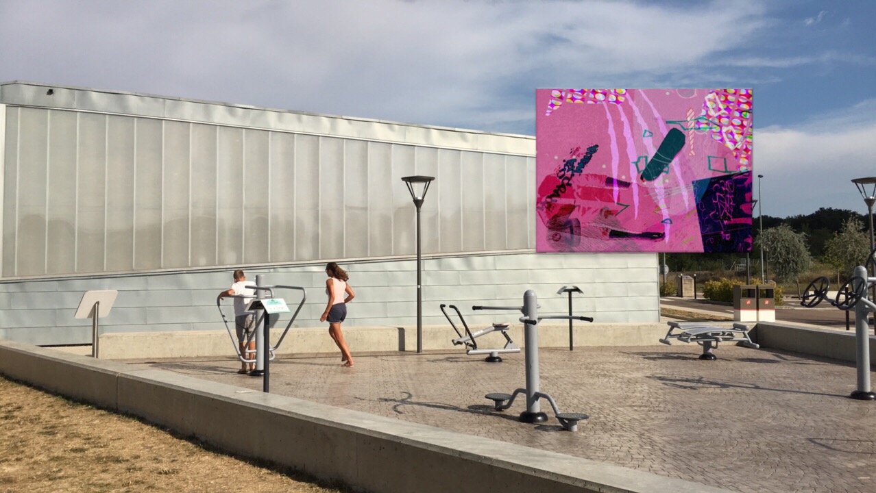
View of "Dysfunkt Chaosmix" - Wednesday, 17 August 2016 - 17:29 GMT+0200

Après l'orage - After the storm
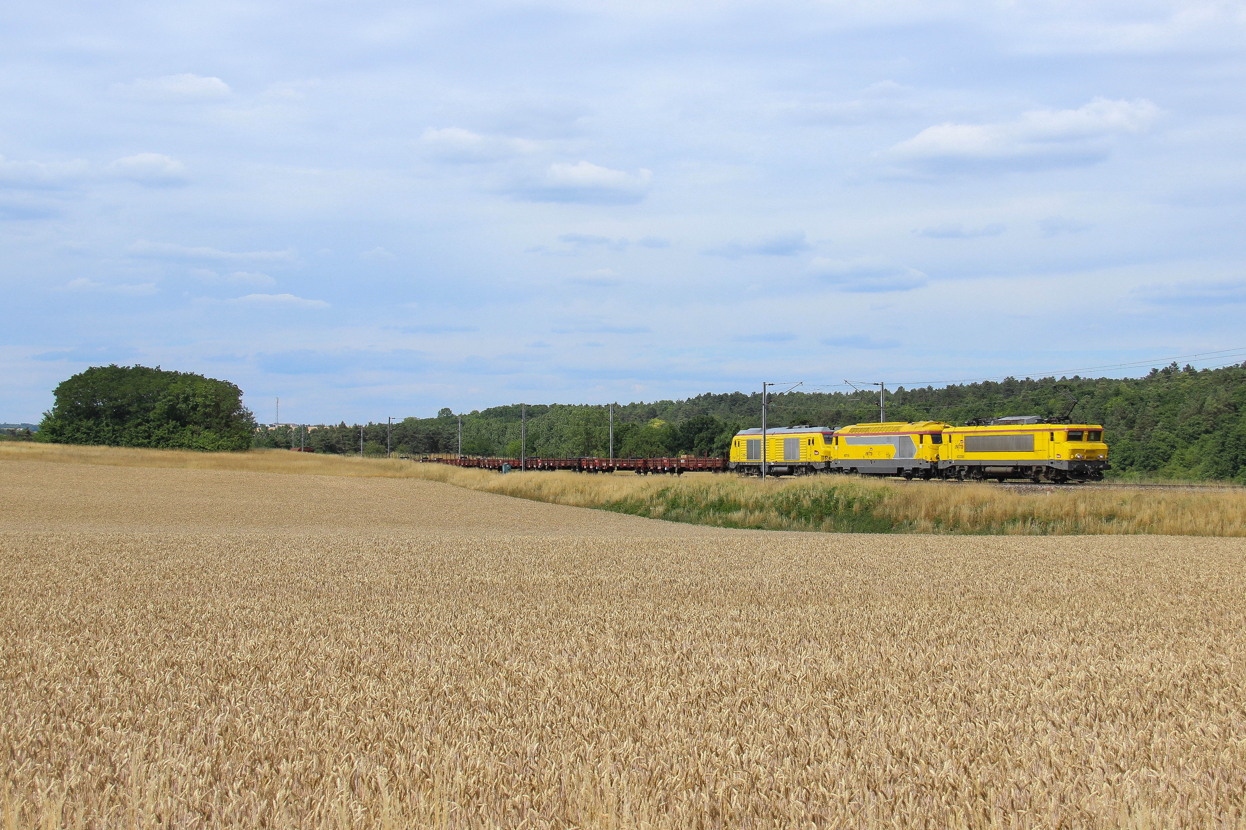
22295 & infra 53867 vers Flacey
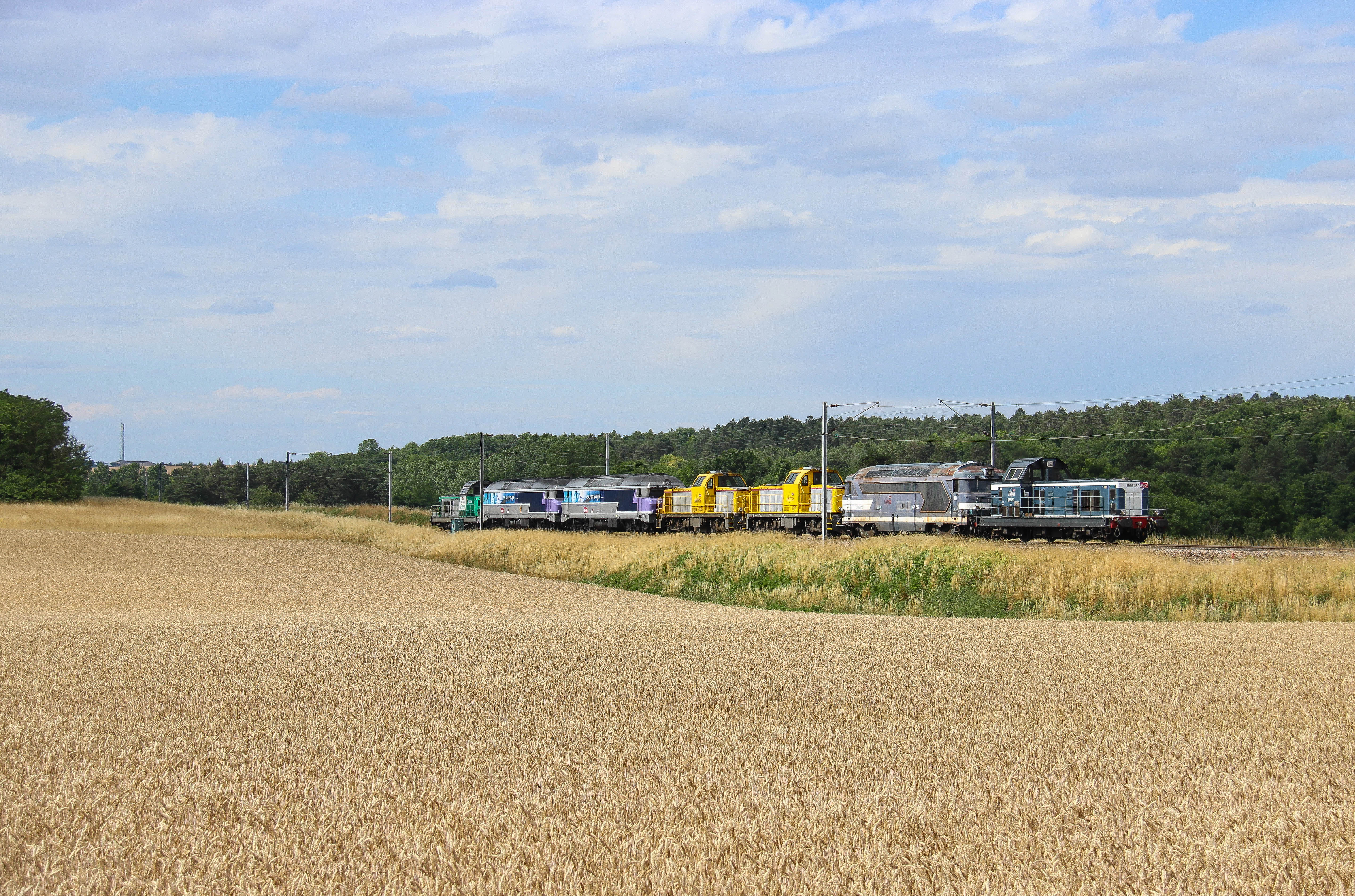
TM Haut en couleur vers Flacey
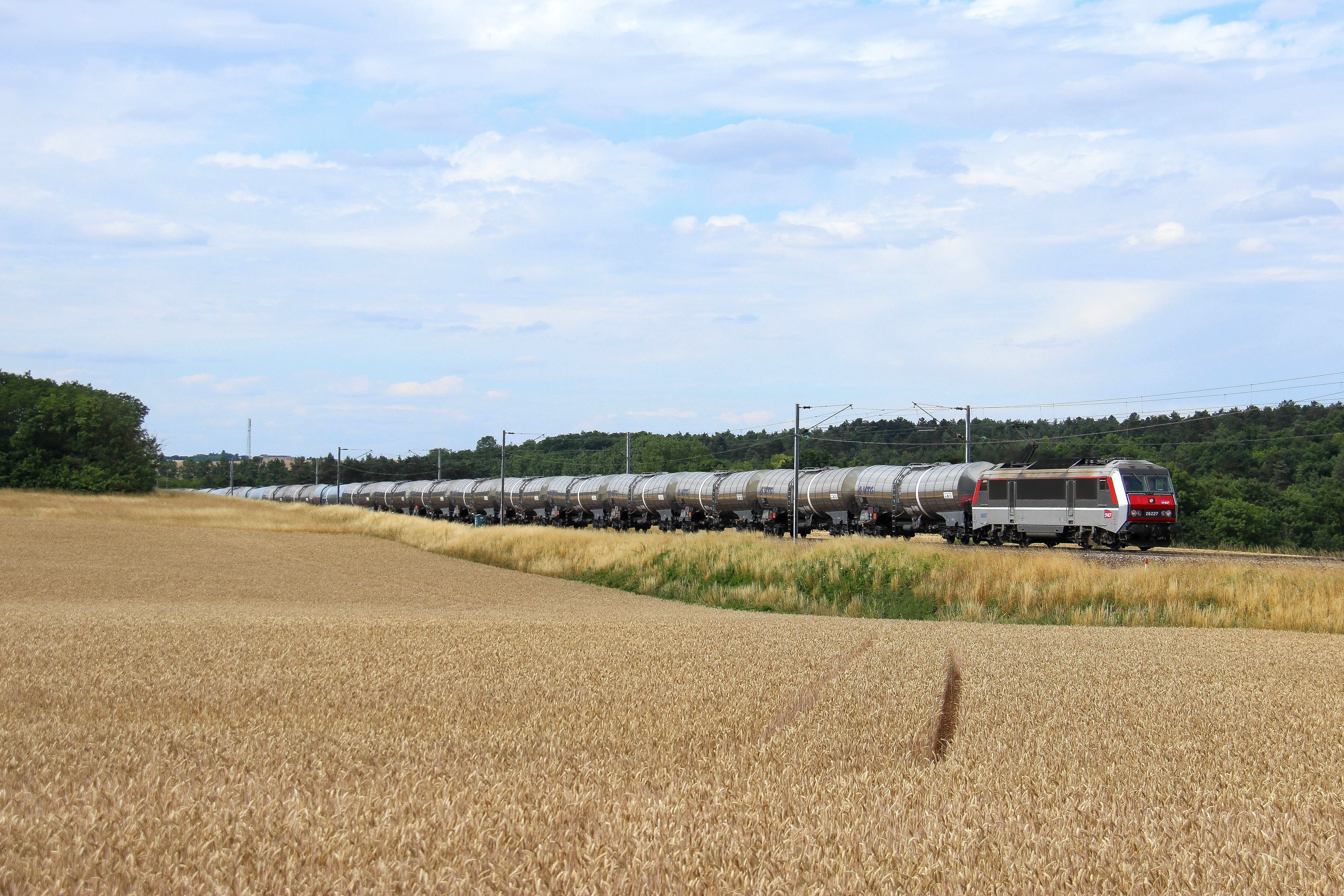
26227 & citernes vers Flacey

Source de la Bèze - Bèze (Côte-d'Or, en Bourgogne)

Bèze (Côte-d'Or, en Bourgogne)
En bord de Saône

Orgeux #bourgogne
לך לך
Dev-TOF_1065_6_7_8
Arc-sur-Tille
Arc-sur-Tille
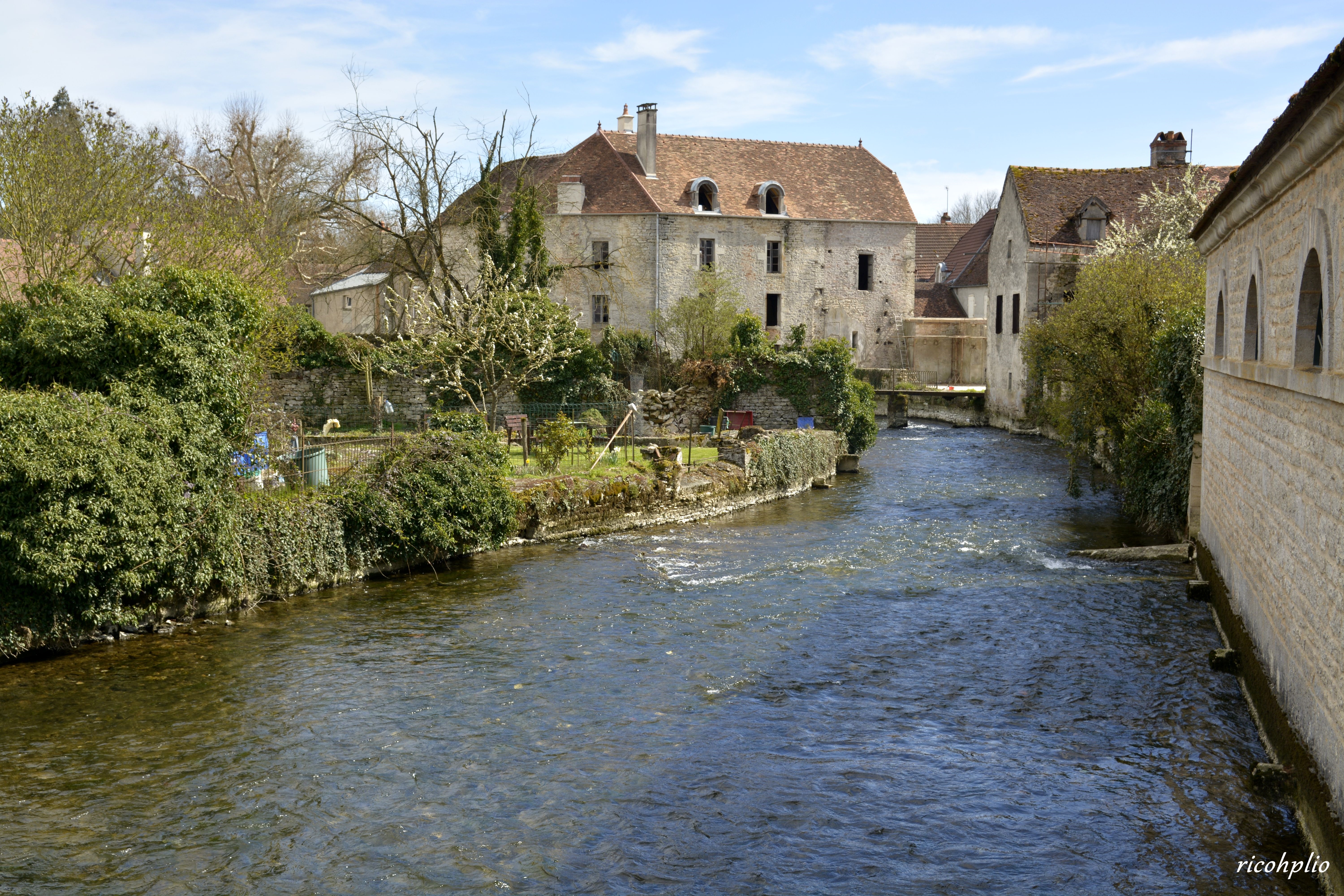
La Bèze - Bèze (Côte-d'Or, en Bourgogne)

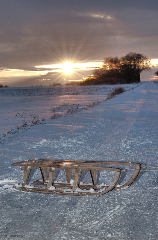
Les étangs gelés... HDR
Arc-sur-Tille
Sailing on the Saone river, seeing the light at the end of the tunnel
Arc-sur-Tille
Arc-sur-Tille
Arc-sur-Tille
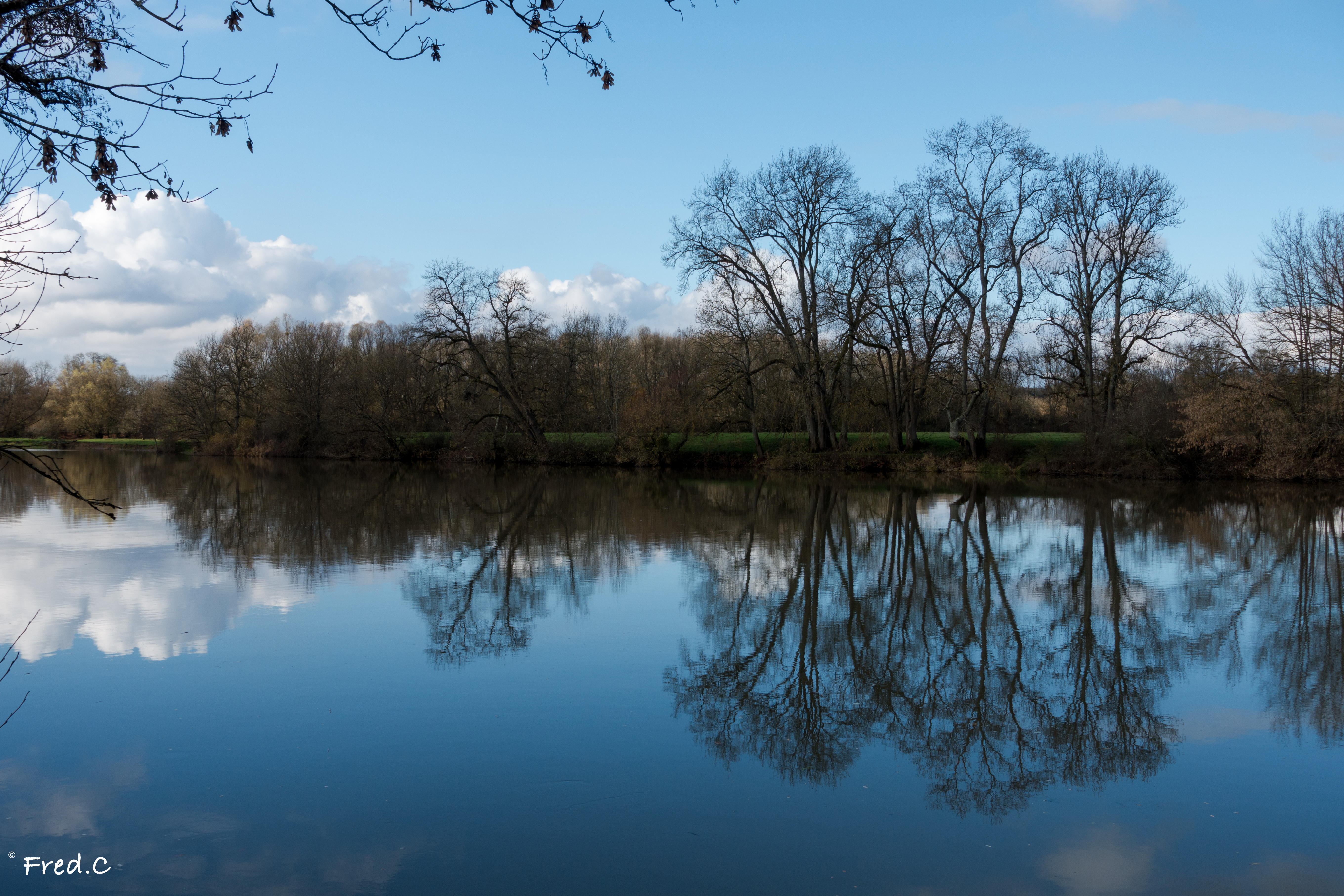
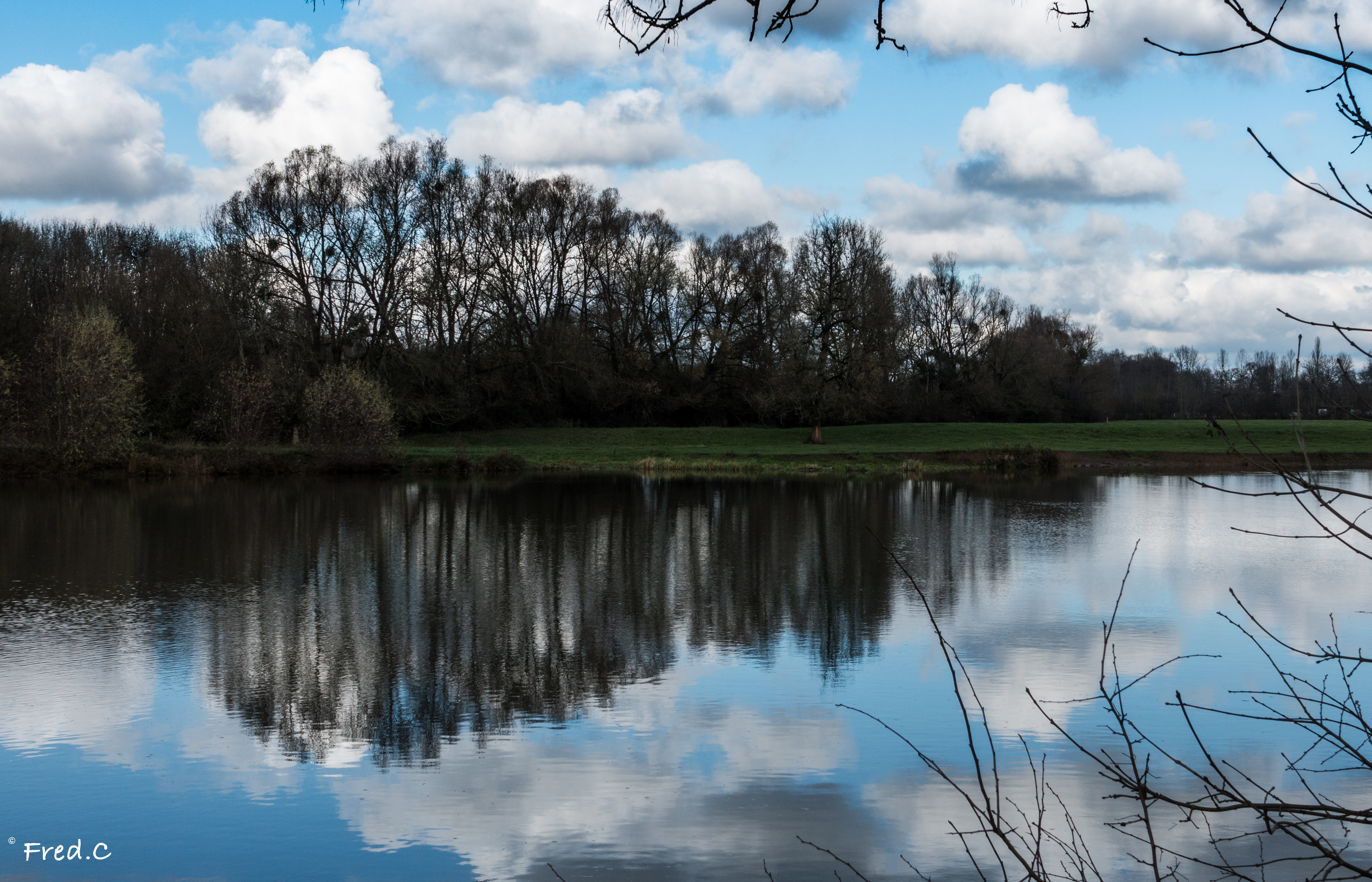
Bord de Saône
Topographic Map of Mirebeau-sur-Bèze, France
Find elevation by address:

Places in Mirebeau-sur-Bèze, France:
Places near Mirebeau-sur-Bèze, France:
10a
9 Rue de la Forge, Bézouotte, France
Bézouotte
Tanay
2 Rue du Houblon, Tanay, France
3 Rue des Champs, Oisilly, France
Marandeuil
Oisilly
2 Rue Centrale, Marandeuil, France
Magny-montarlot
7 Rue de Longchamp, Magny-Montarlot, France
Perrigny-sur-l'ognon
2 Route de Vielverge, Perrigny-sur-l'Ognon, France
22 Rue Grande Rue, Premières, France
Premières
Flacey
10 Rue de Saint-Julien, Flacey, France
5b
Pont
Apremont
Recent Searches:
- Elevation of 3 Nestling Wood Dr, Long Valley, NJ, USA
- Elevation of Ilungu, Tanzania
- Elevation of Yellow Springs Road, Yellow Springs Rd, Chester Springs, PA, USA
- Elevation of Rēzekne Municipality, Latvia
- Elevation of Plikpūrmaļi, Vērēmi Parish, Rēzekne Municipality, LV-, Latvia
- Elevation of 2 Henschke Ct, Caboolture QLD, Australia
- Elevation of Redondo Ave, Long Beach, CA, USA
- Elevation of Sadovaya Ulitsa, 20, Rezh, Sverdlovskaya oblast', Russia
- Elevation of Ulitsa Kalinina, 79, Rezh, Sverdlovskaya oblast', Russia
- Elevation of 72-31 Metropolitan Ave, Middle Village, NY, USA