Elevation of Mint Rd, New Market, AL, USA
Location: United States > Alabama > Madison County > New Market >
Longitude: -86.468948
Latitude: 34.951689
Elevation: 248m / 814feet
Barometric Pressure: 98KPa
Elevation Map:
Satellite Map:
Related Photos:
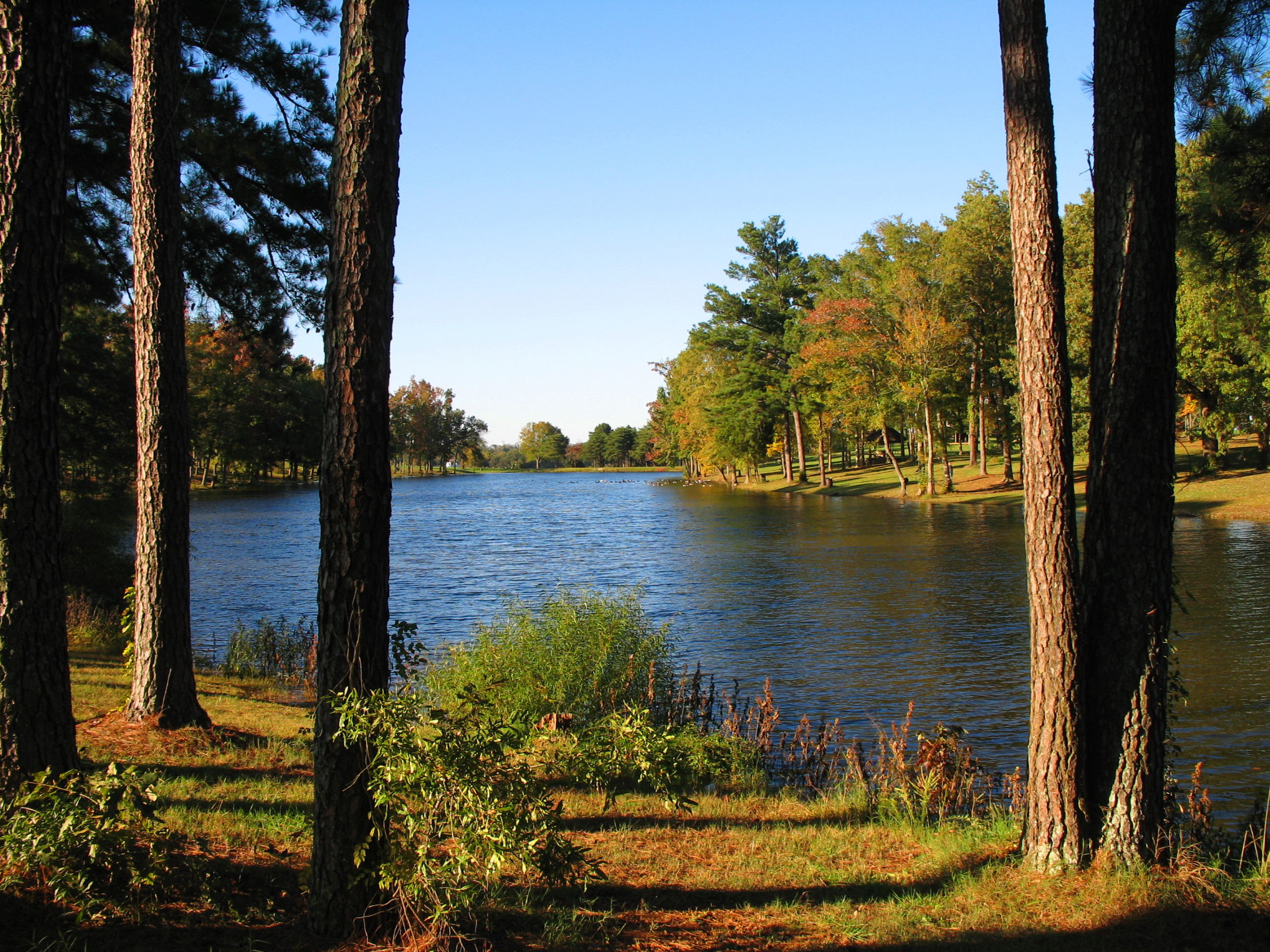
Lake view

Housefire, Rear View from the Trees - h

Rear Oblique View - h

View on Christmas Morning
Monet met Matisse today.

A Room with a Farm View

Hazel Green Sunset 3

Hazel Green Sunset 6

Hazel Green Sunset 5
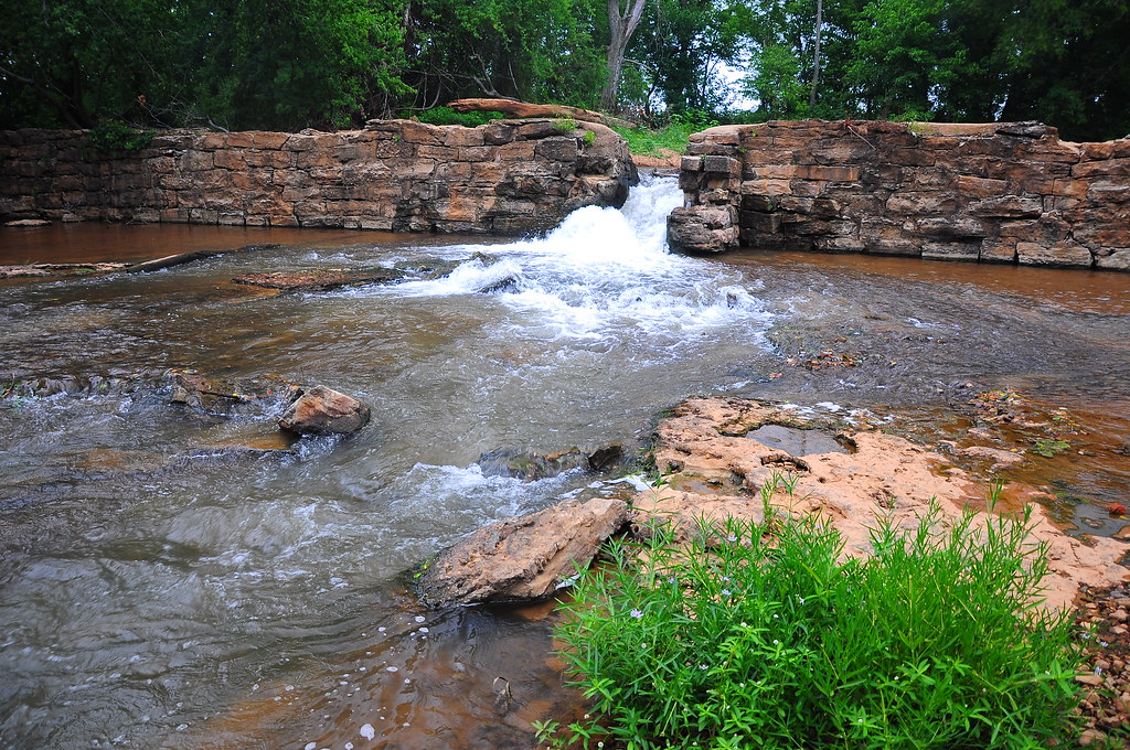
Bloucher's Ford - h
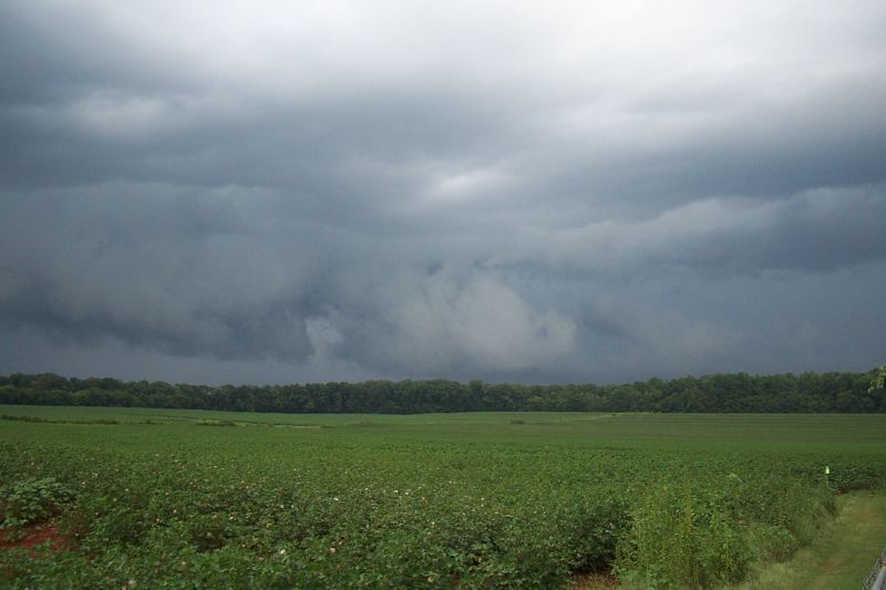
Summer Thunderstorm
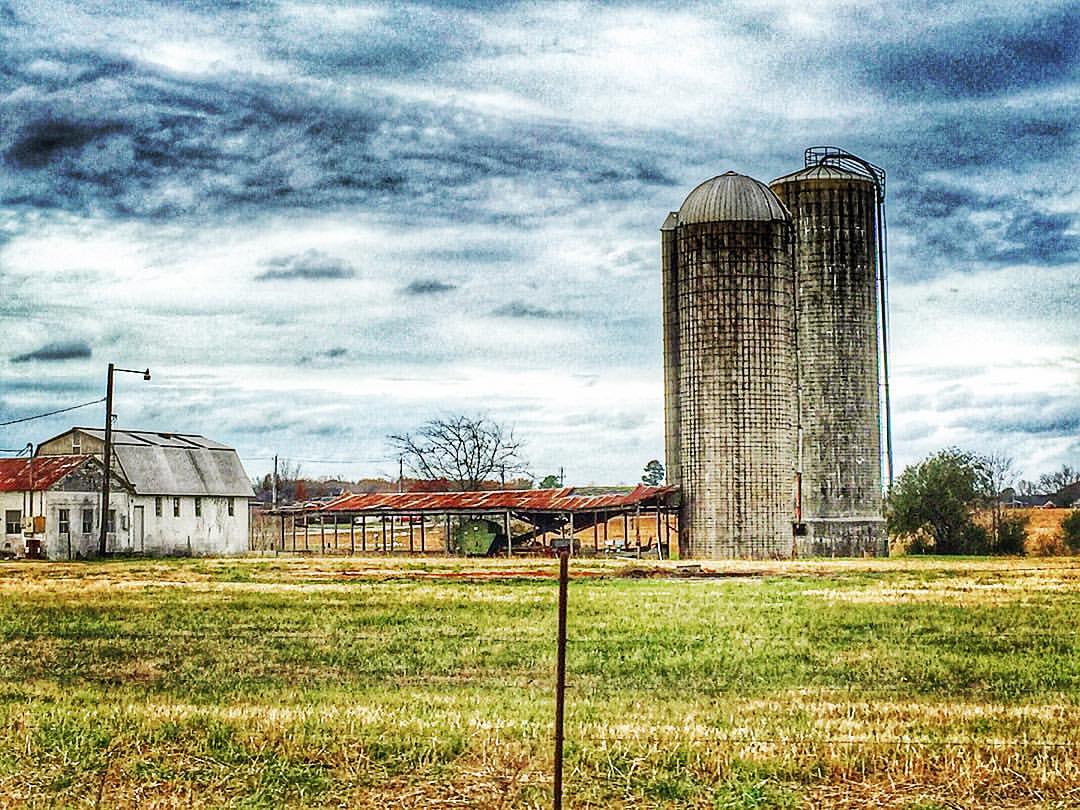
Hazel Green, Alabama #hazelgreenalabama #hazelgreen #alabama #rural #town #farm #farmlife #silo #hayhouse #farmer #field #thesouthernfront #theamericancollective #scene #scenery #landscape #landmark #picturesque #picoftheday #ig_countryside #countryside #
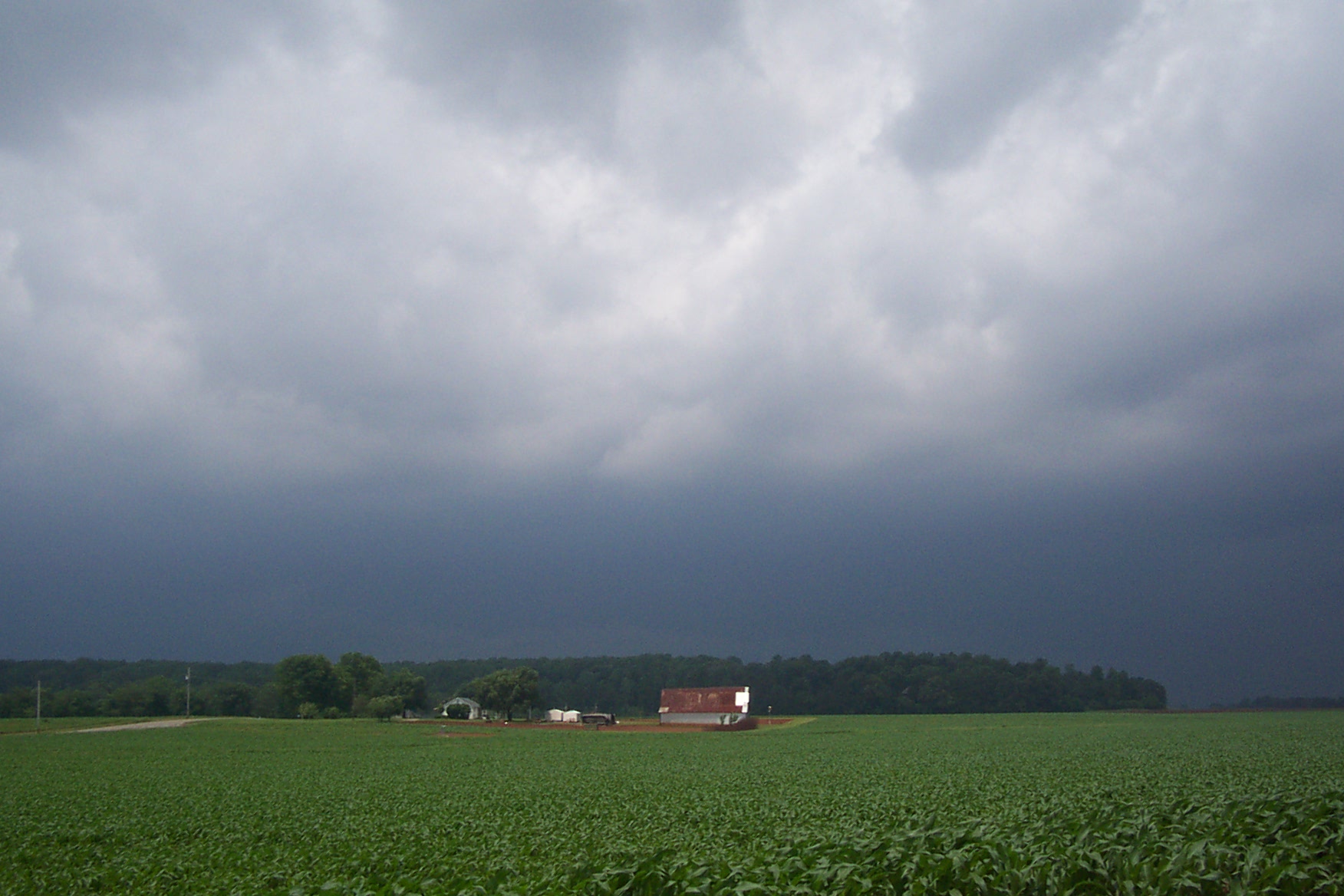
Storm Clouds 5/17/03

Framed lake

ABANDONED AUTOS
heron in the distance
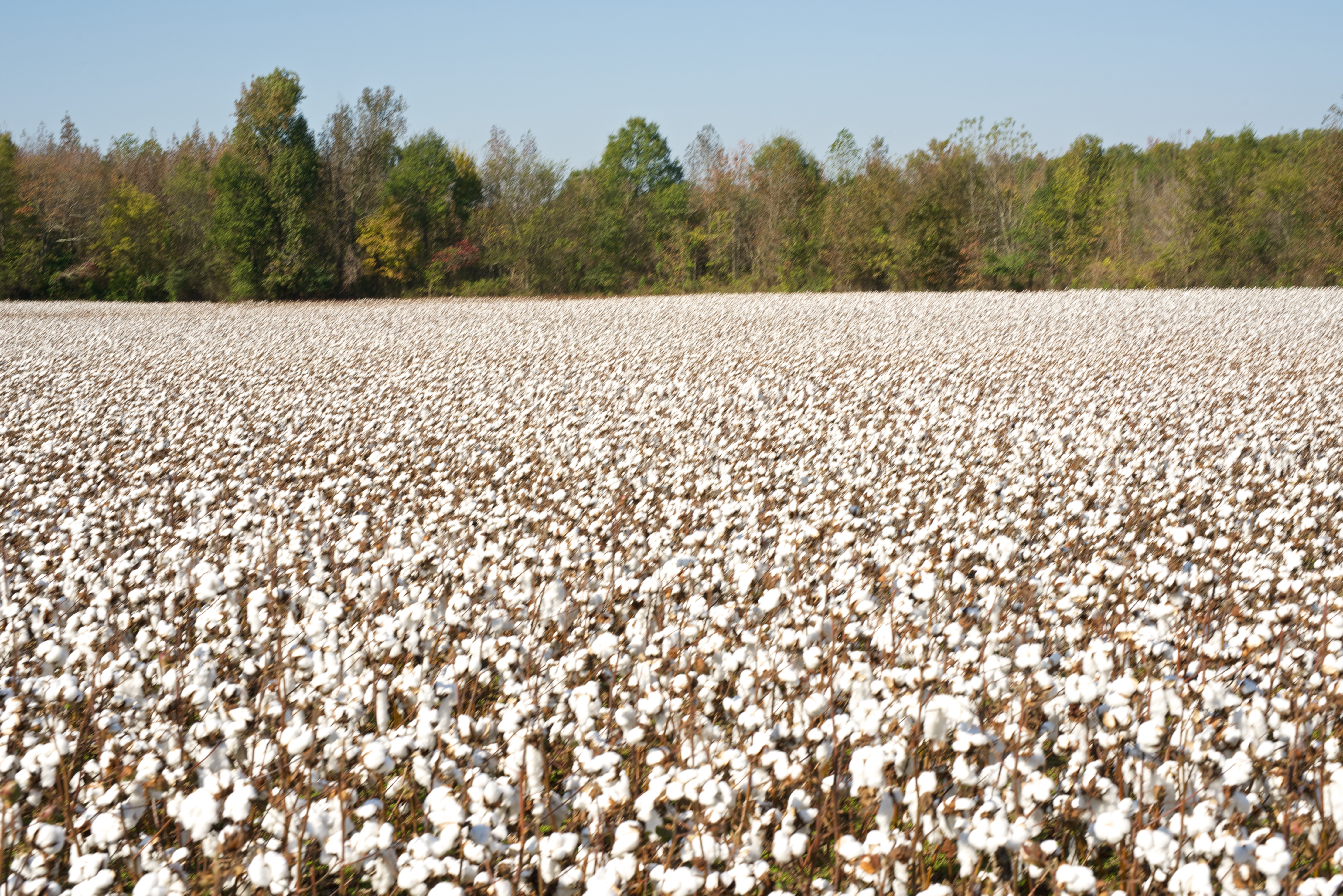
CottonNewMarket10-25-14e 255

Flint #River, #Alabama - h

Sunset, Madison County, Alabama, #Panorama - h

Summer Convection
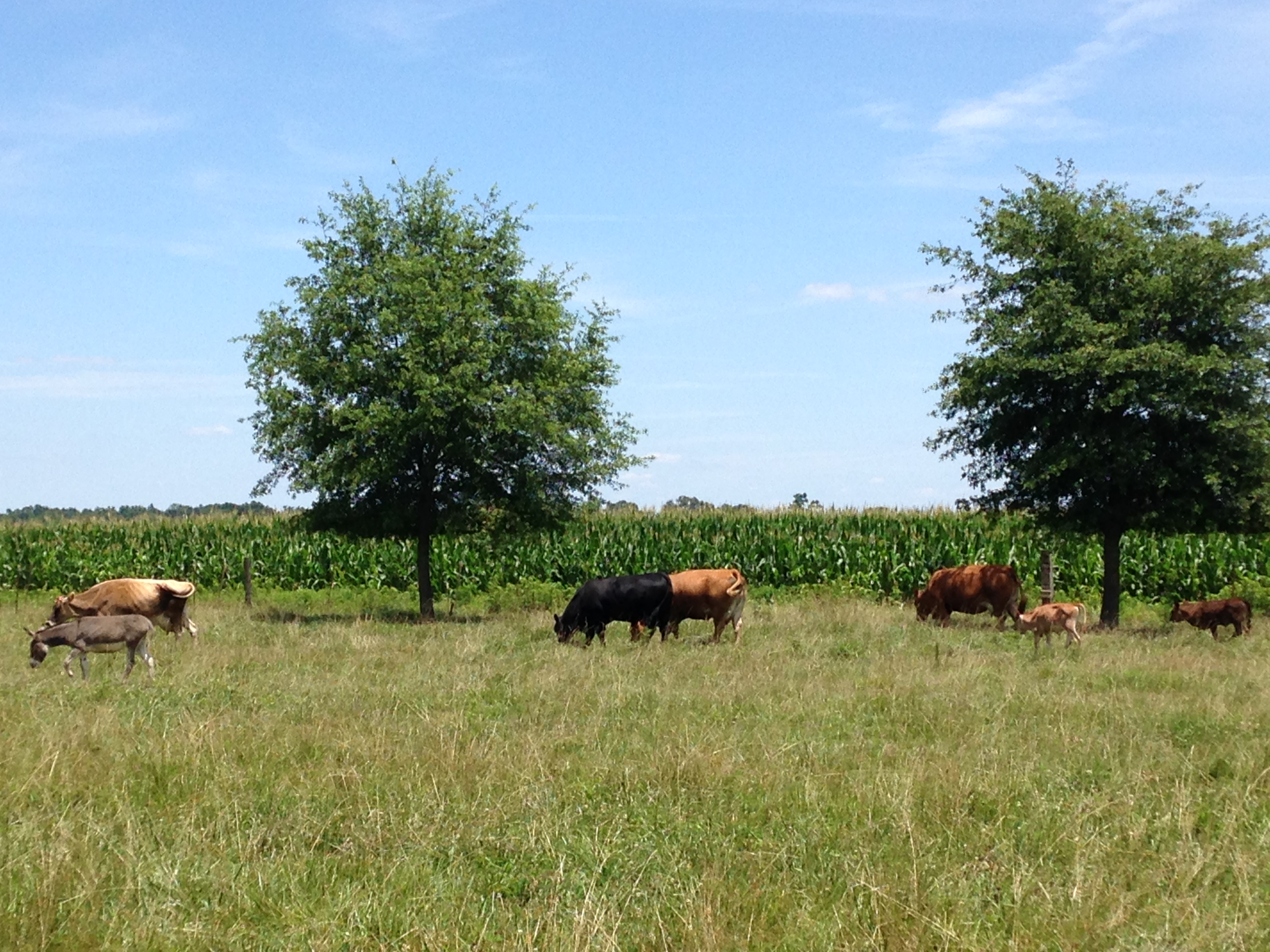
July on the farm

Rusting Tractor-3.jpg
Cool, clear water - m9556
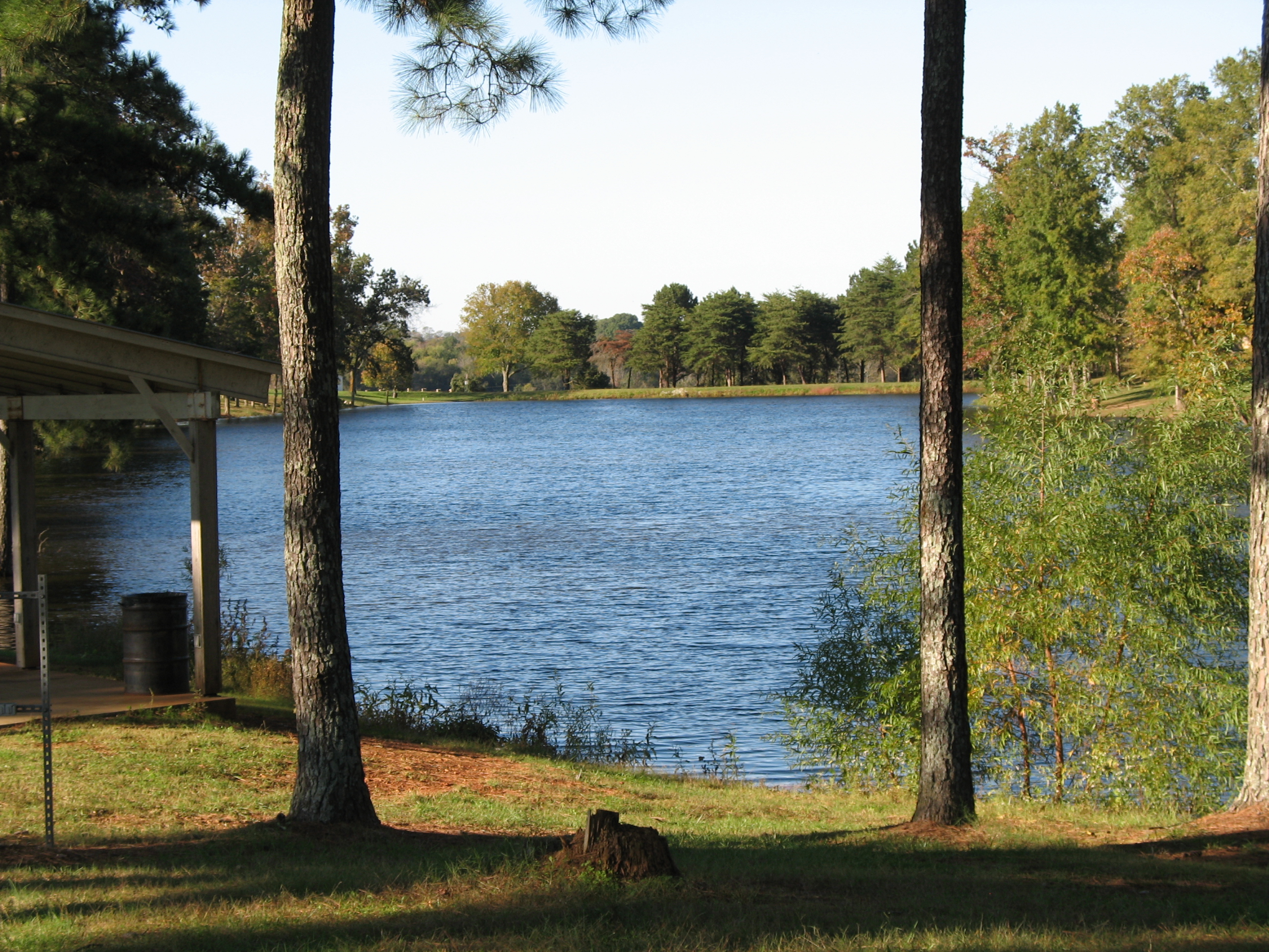
Framed lake marked by man

Brier Fork, Winchester Road NE, Madison county, AL - v
Topographic Map of Mint Rd, New Market, AL, USA
Find elevation by address:

Places near Mint Rd, New Market, AL, USA:
Joe Quick Rd, New Market, AL, USA
112 Karen Ln
Greenville Pike, Hazel Green, AL, USA
Walker Ln, New Market, AL, USA
Buddy Williamson Rd, New Market, AL, USA
New Market
Steele Ln, New Market, AL, USA
Rube Robinson Rd, Huntsville, AL, USA
317 Lewis Mountain Rd
Lincoln Rd, Fayetteville, TN, USA
126 Walls Dr
Bullard Road
99 Buckhead Run, New Market, AL, USA
367 Walker Ln
Hazel Green
9 Brown Creek Dr
115 Ashton Cir
106 Khaki Ridge Dr
594 Bobo Section Rd
124 Bright Rd
Recent Searches:
- Elevation of Corso Fratelli Cairoli, 35, Macerata MC, Italy
- Elevation of Tallevast Rd, Sarasota, FL, USA
- Elevation of 4th St E, Sonoma, CA, USA
- Elevation of Black Hollow Rd, Pennsdale, PA, USA
- Elevation of Oakland Ave, Williamsport, PA, USA
- Elevation of Pedrógão Grande, Portugal
- Elevation of Klee Dr, Martinsburg, WV, USA
- Elevation of Via Roma, Pieranica CR, Italy
- Elevation of Tavkvetili Mountain, Georgia
- Elevation of Hartfords Bluff Cir, Mt Pleasant, SC, USA