Elevation of Bright Rd, Hazel Green, AL, USA
Location: United States > Alabama > Madison County > Hazel Green >
Longitude: -86.585569
Latitude: 34.949699
Elevation: 241m / 791feet
Barometric Pressure: 98KPa
Elevation Map:
Satellite Map:
Related Photos:

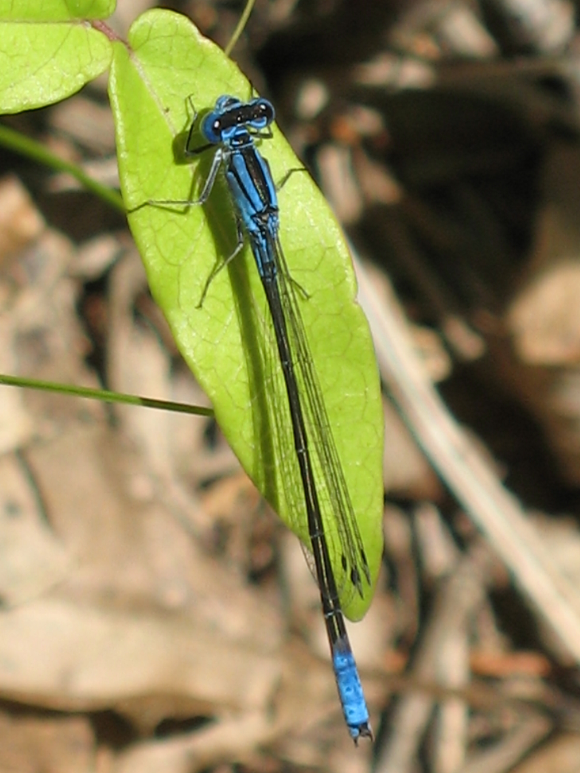
Female Citrine Forktail - Ischnura hastata
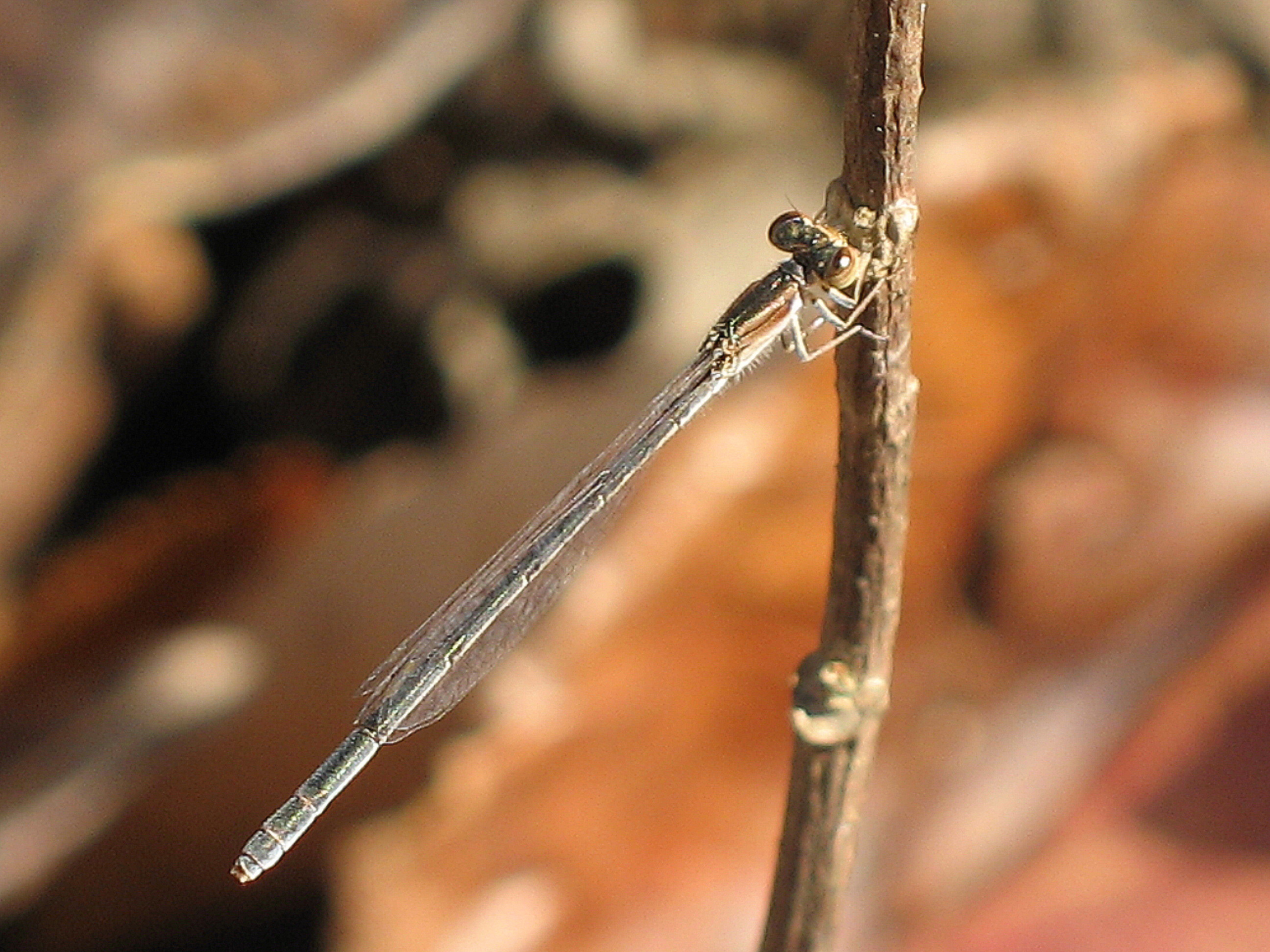
Azure Bluet - Enallagma aspersum
Female Citrine Forktail - Ischnura hastata
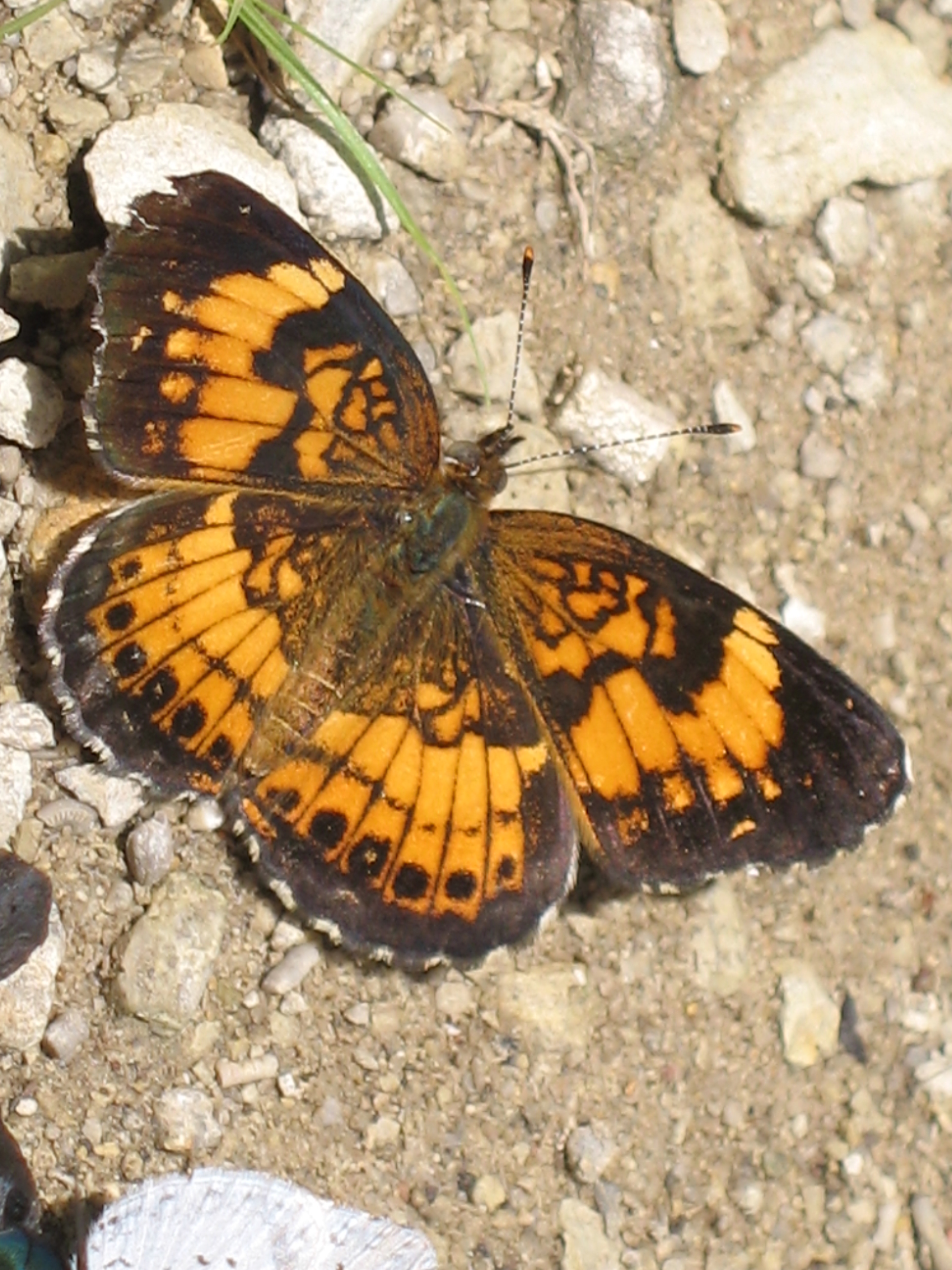
Silvery Checkerspot - Chlosyne nycteis
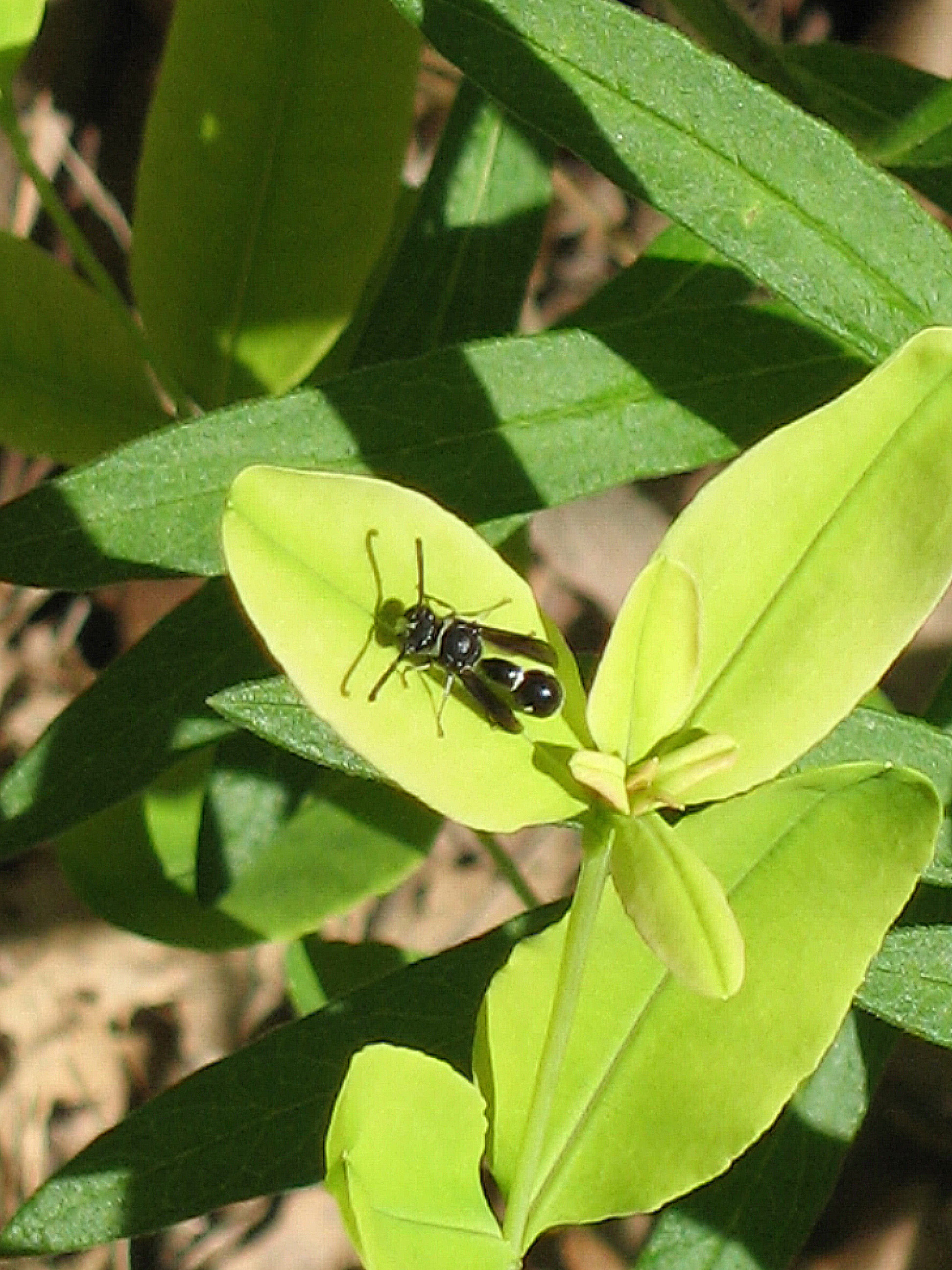
Potter Wasp - Eumenes fraternus
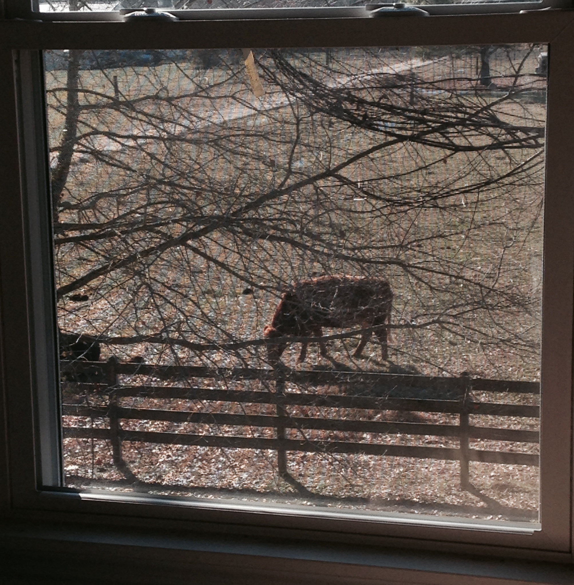
View on Christmas Morning
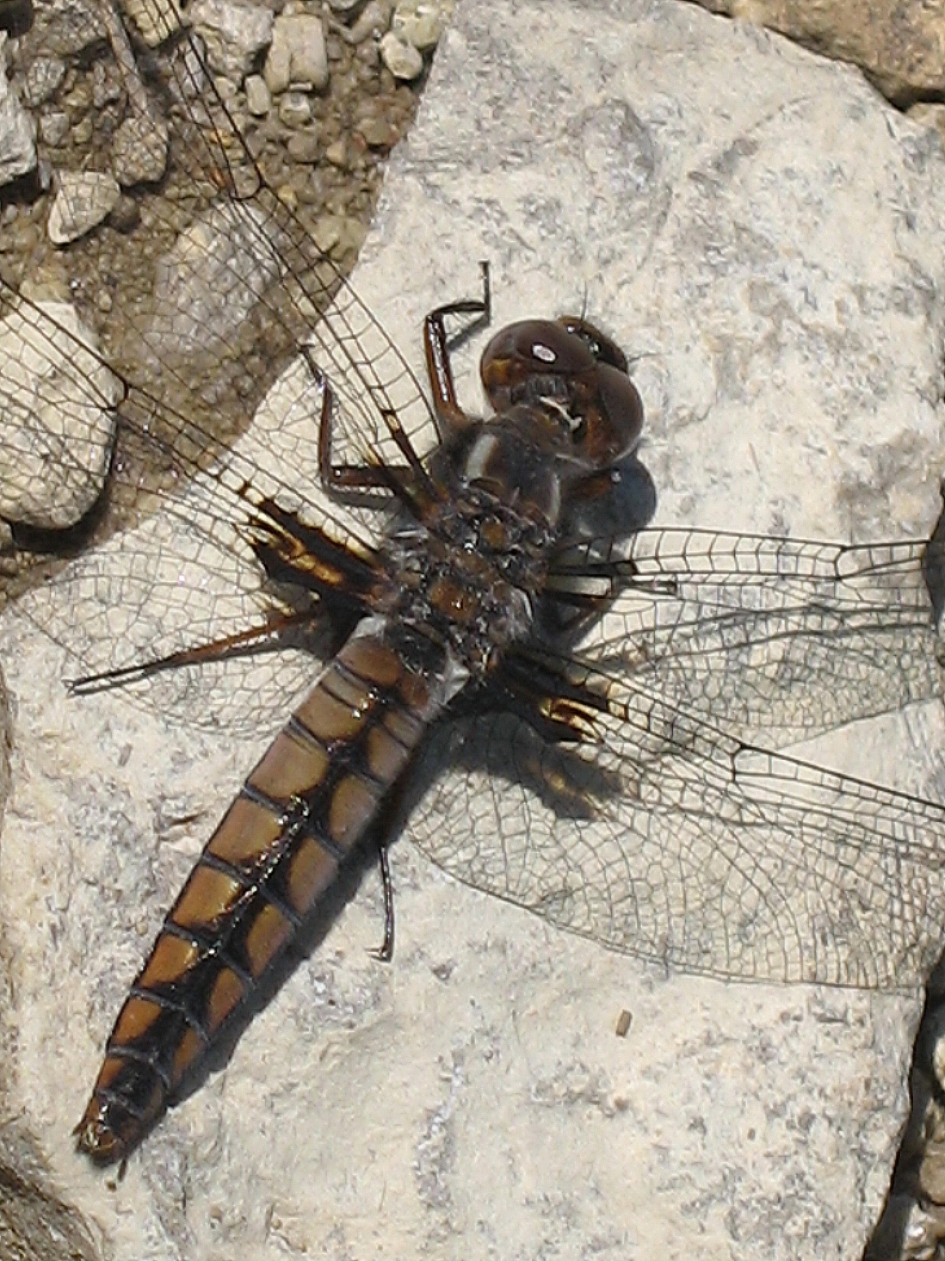
Blue Corporal - Ladona deplanata
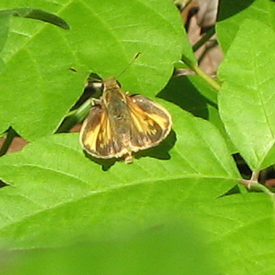
Skipper, Poanes sp.
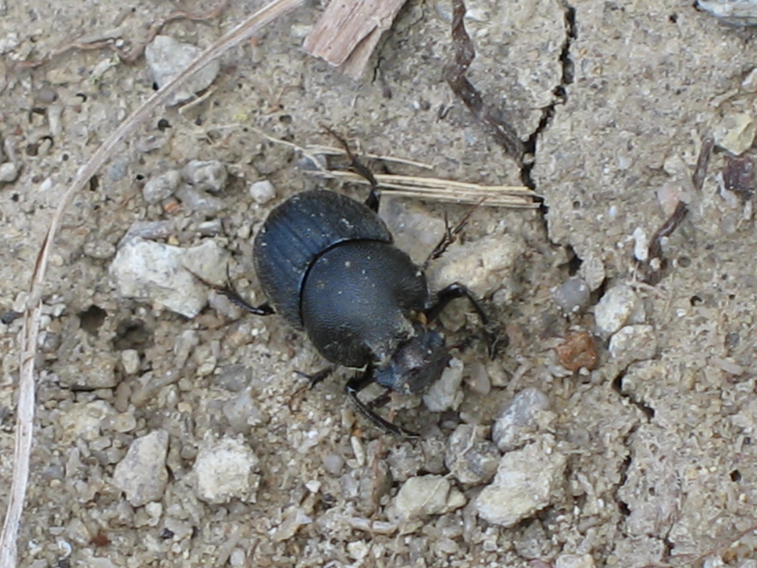
Scooped Scarab - Onthophagus hecate
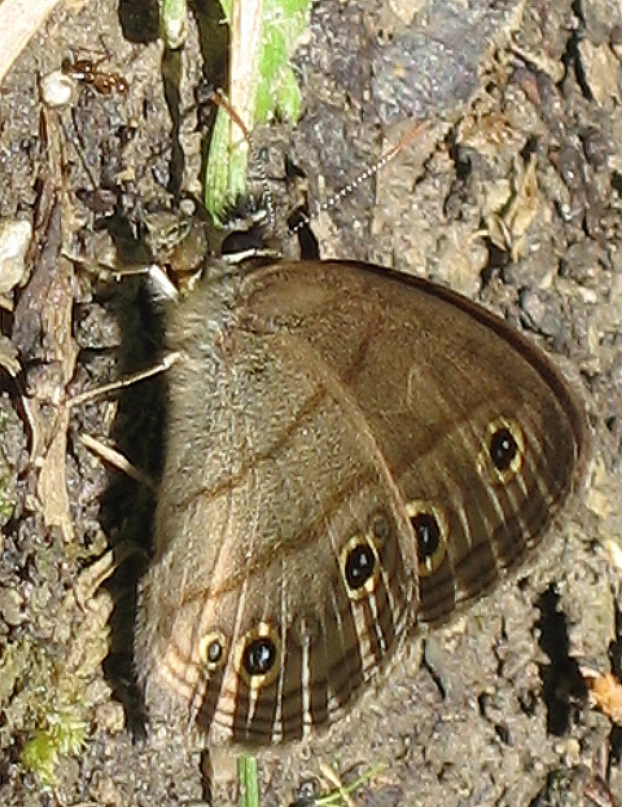
Little Wood Satyr - Megisto cymela cymela
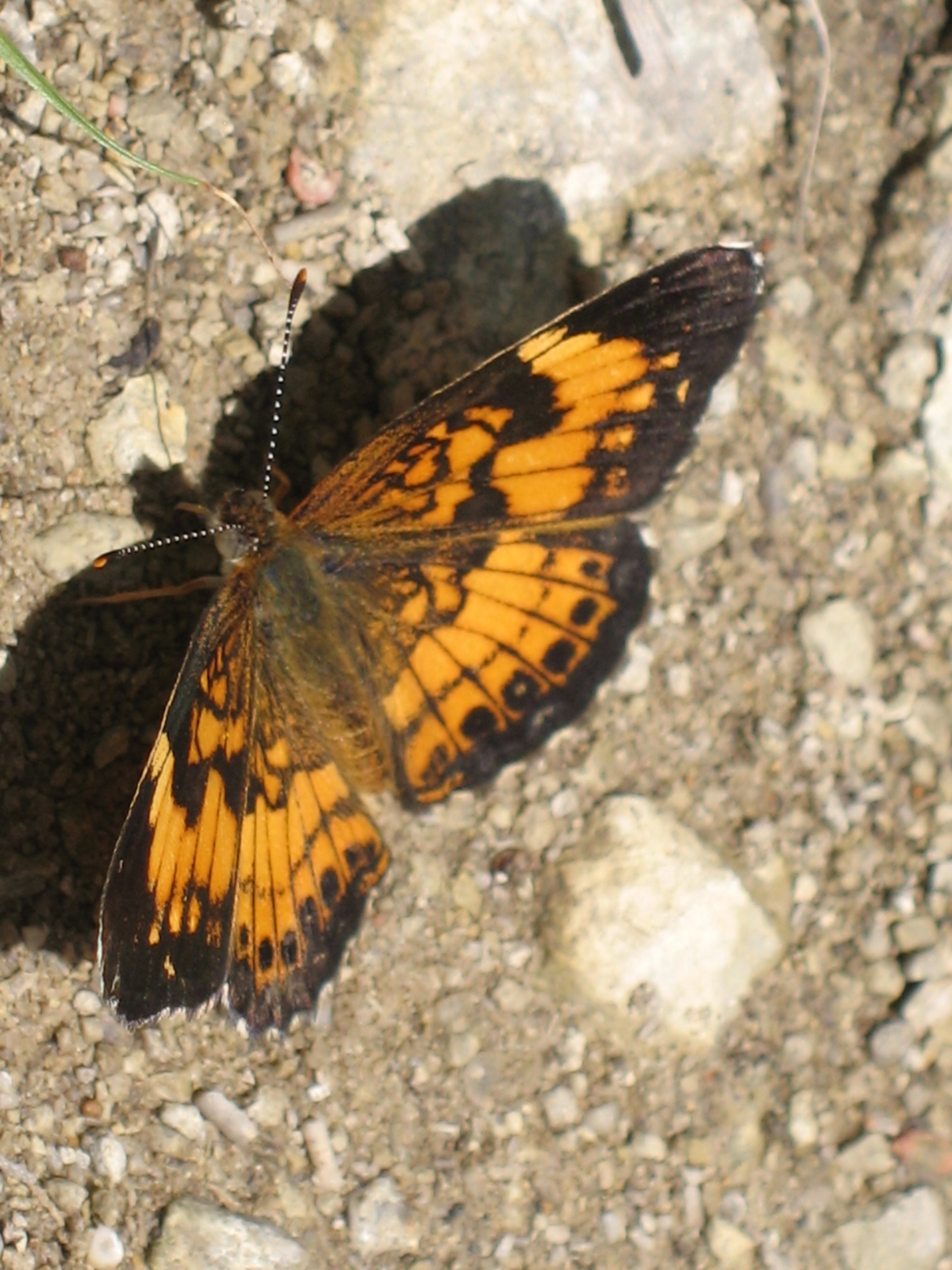
Silvery Checkerspot - Chlosyne nycteis
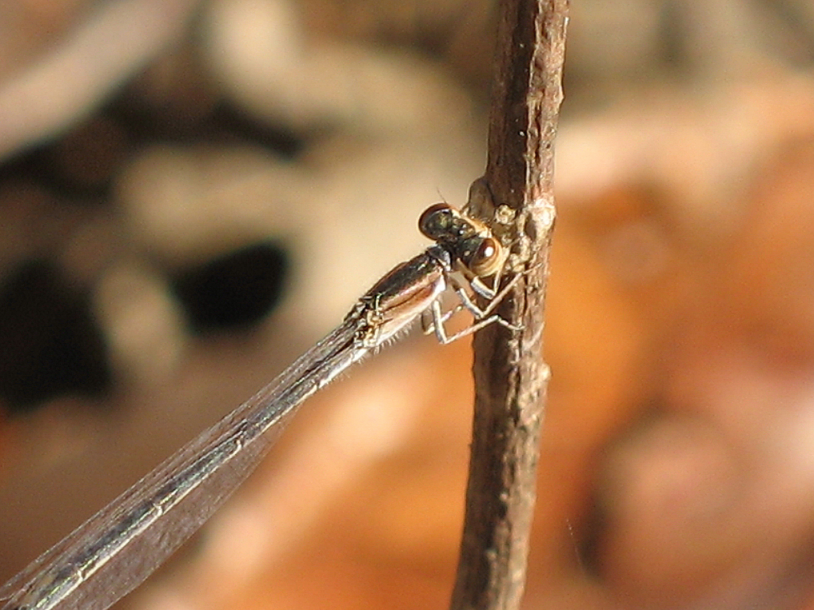
Female Citrine Forktail - Ischnura hastata
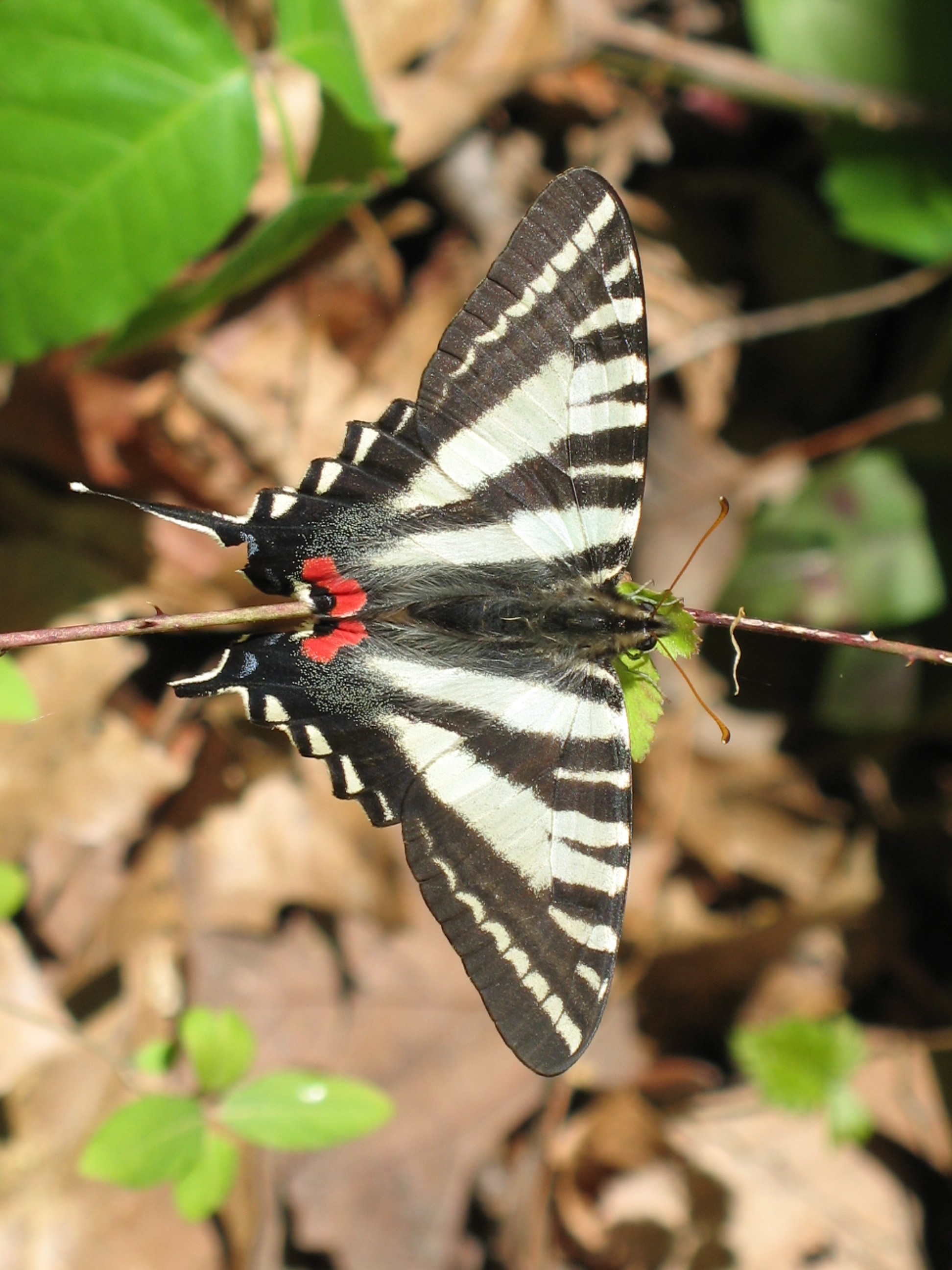
Zebra Swallowtail - Eurytides marcellus
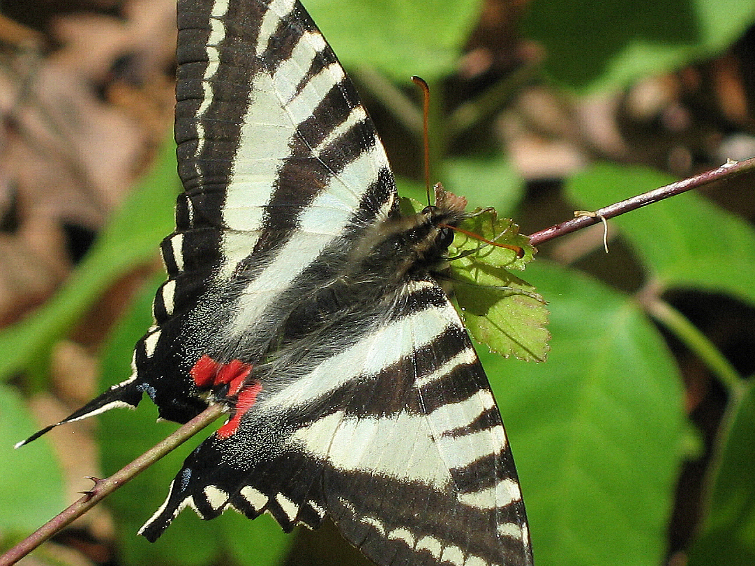
Zebra Swallowtail - Eurytides marcellus
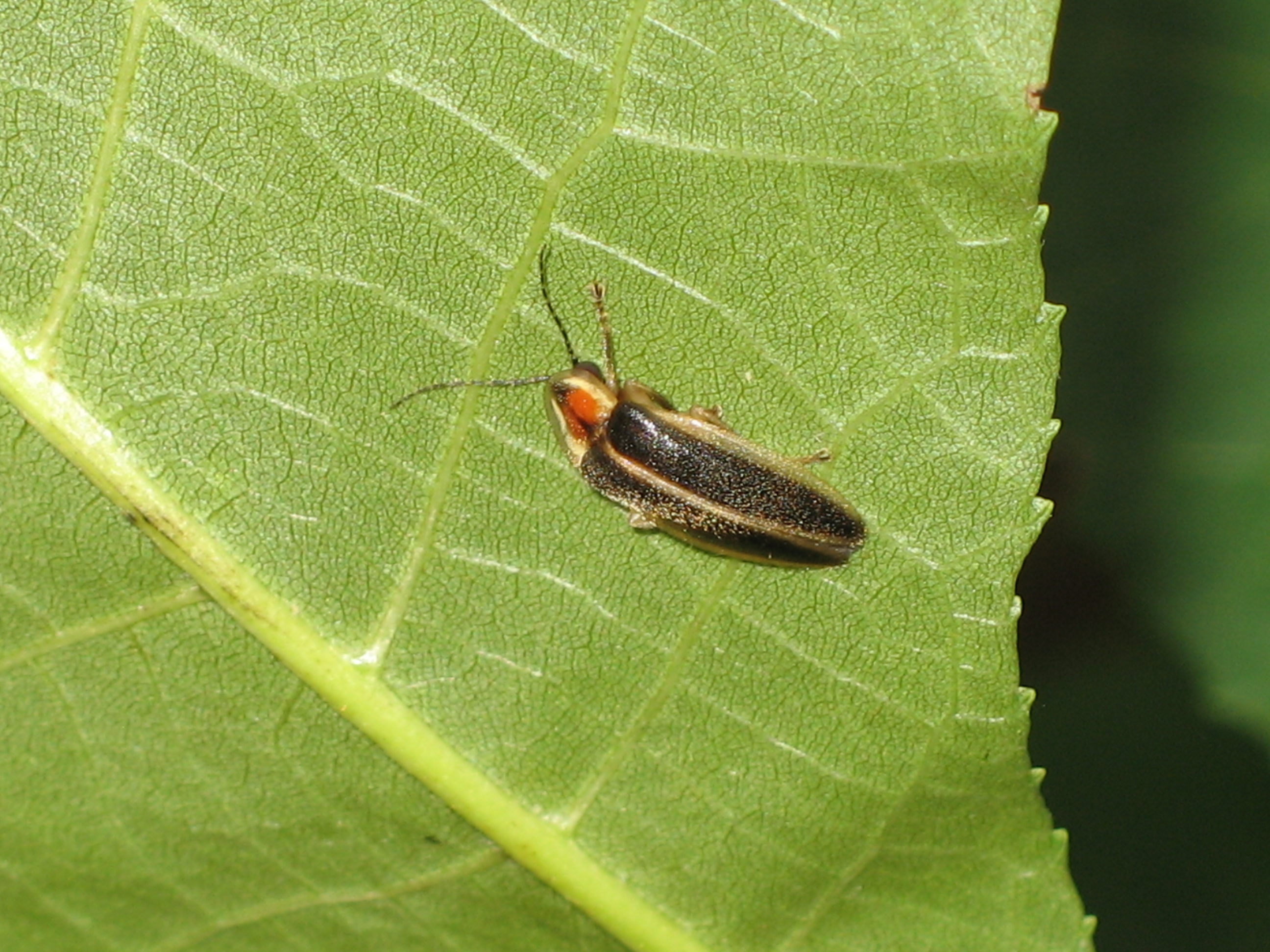
Firefly, Genus Photuris
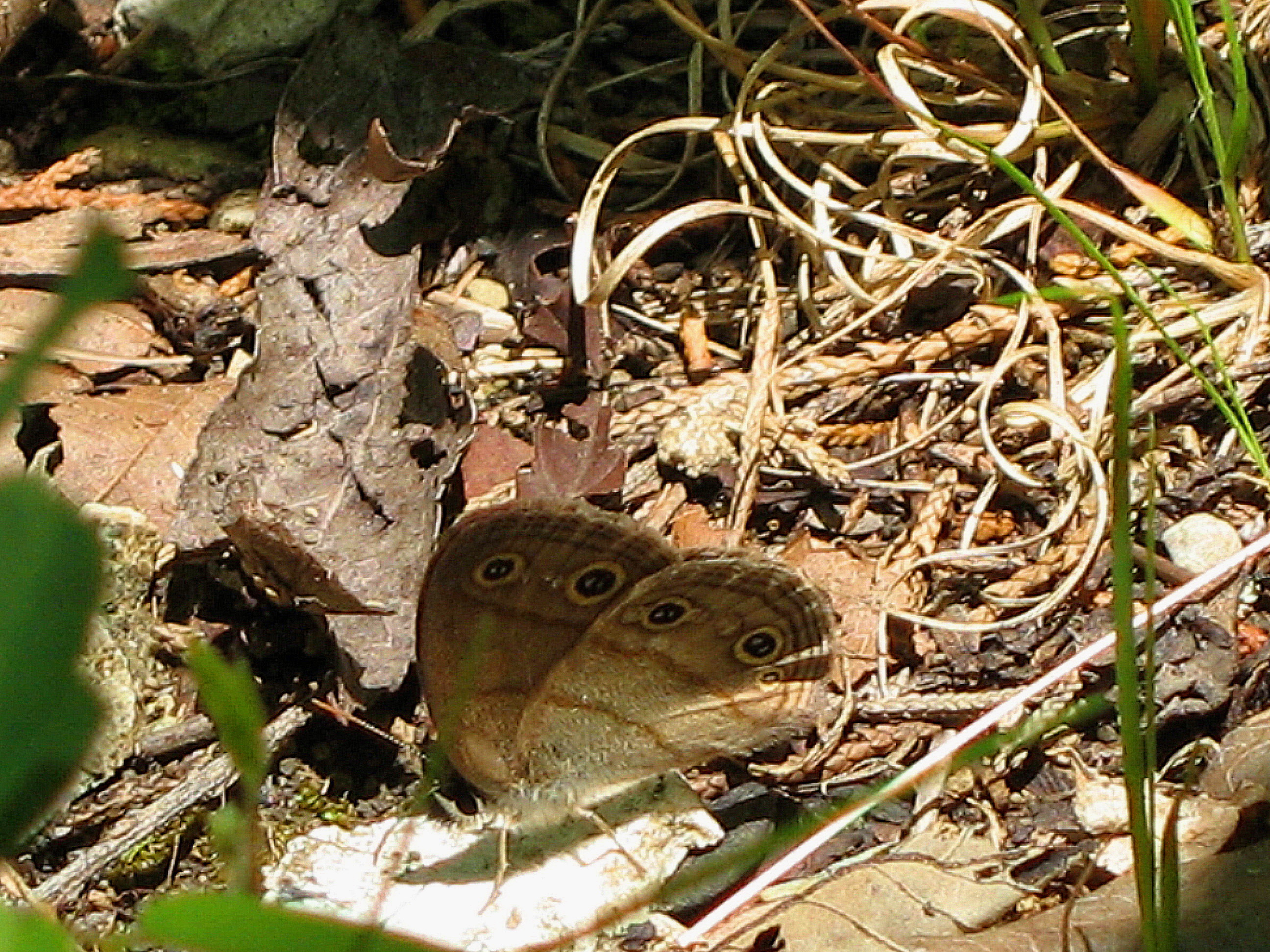
Little Wood Satyr - Megisto cymela cymela
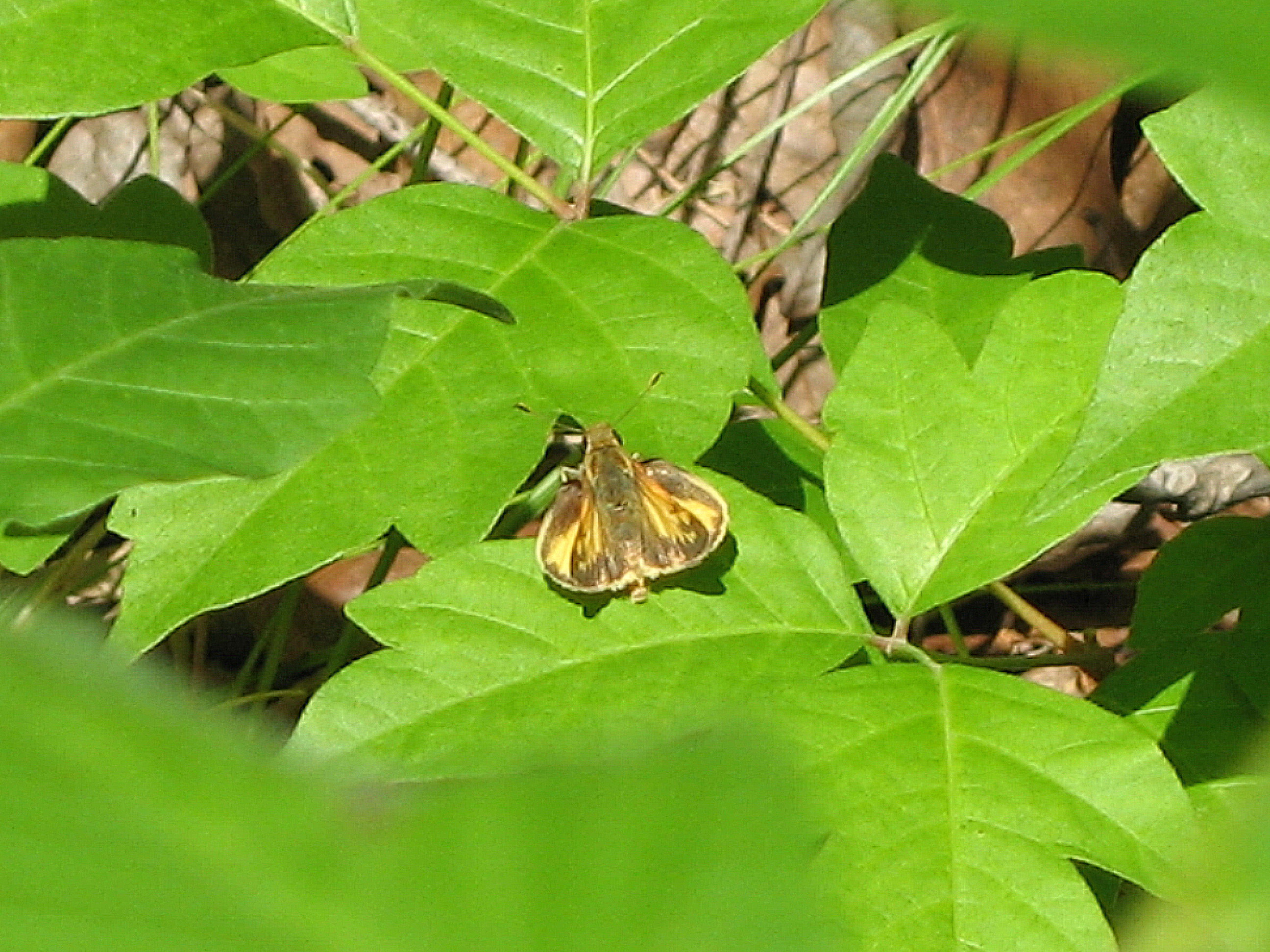
Skipper, Poanes sp.

Wade Mountain view
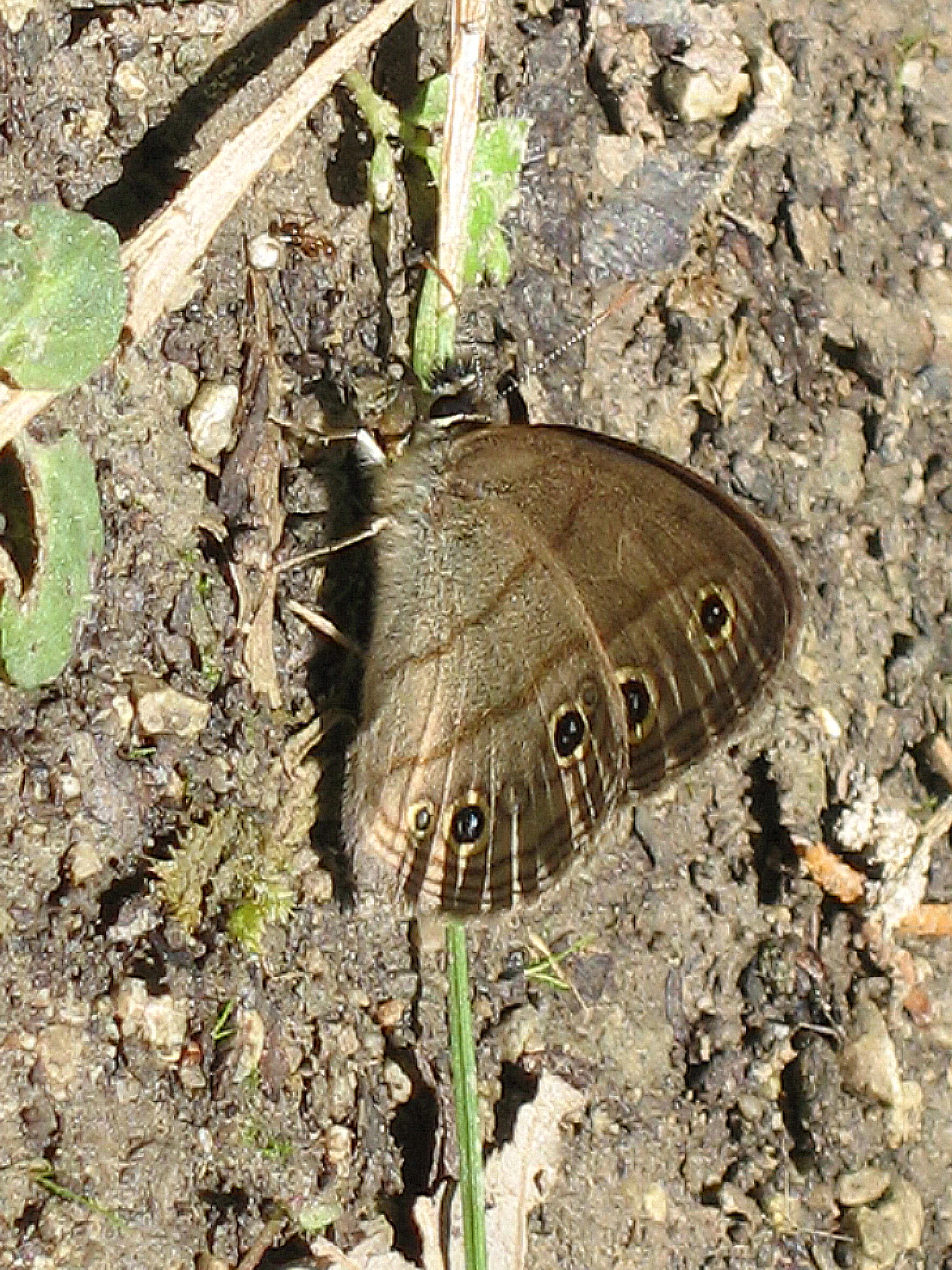
Little Wood Satyr - Megisto cymela cymela
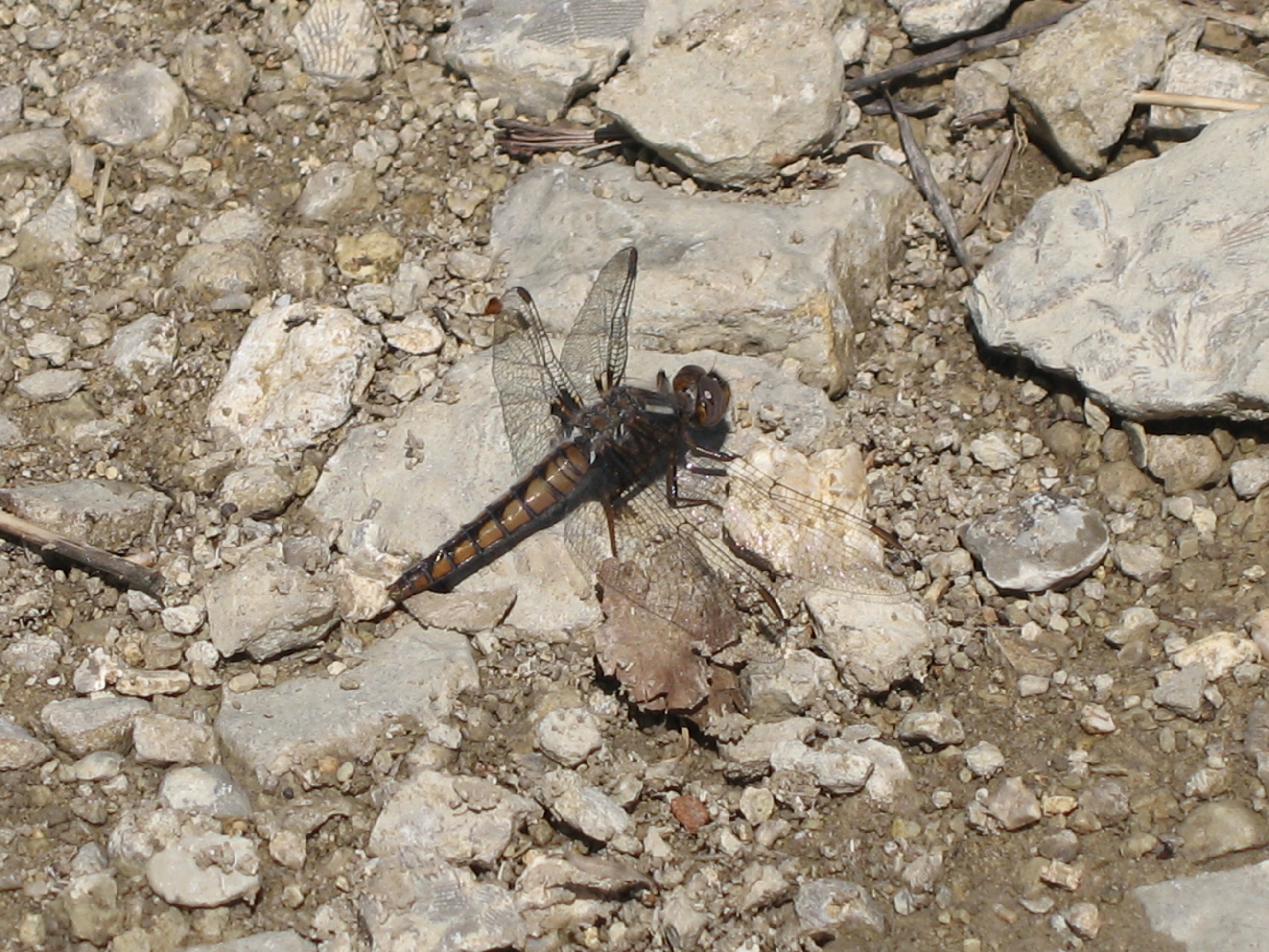
Blue Corporal - Ladona deplanata

A Room with a Farm View
Pumpkin Patch at Lyon Farms
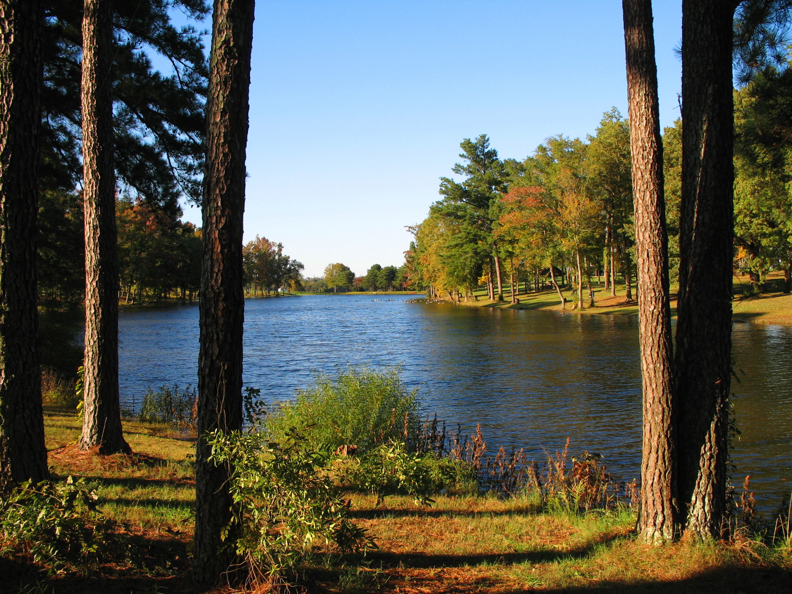
Lake view
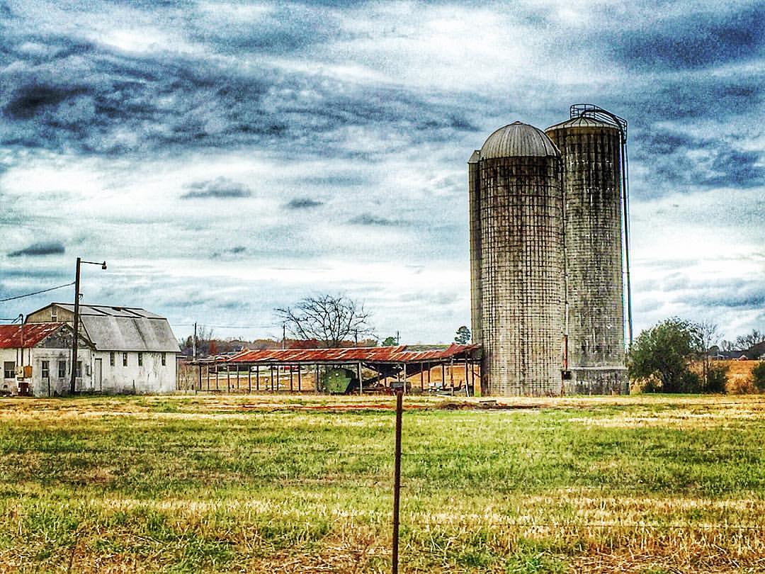
Hazel Green, Alabama #hazelgreenalabama #hazelgreen #alabama #rural #town #farm #farmlife #silo #hayhouse #farmer #field #thesouthernfront #theamericancollective #scene #scenery #landscape #landmark #picturesque #picoftheday #ig_countryside #countryside #
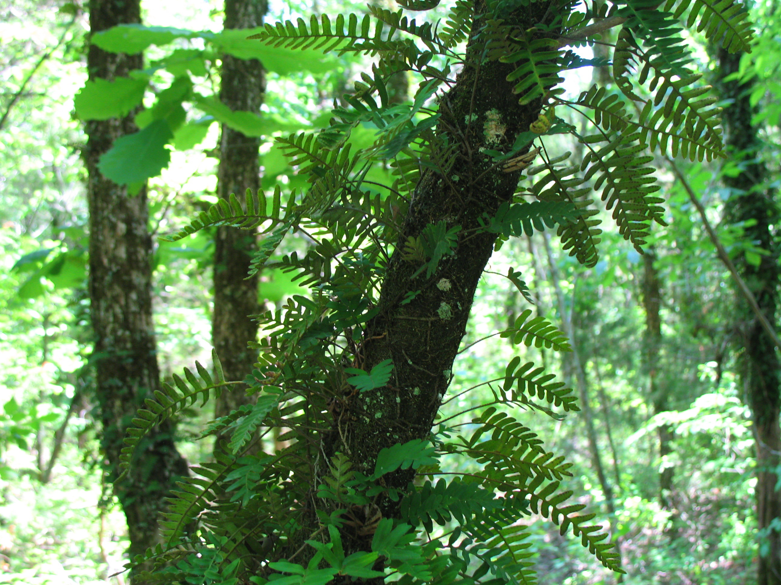
Resurrection Fern - Pleopeltis polypodioides
every time I pass a wheat field...
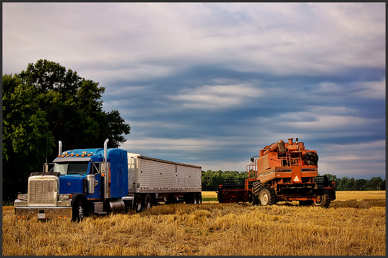
July on the farm

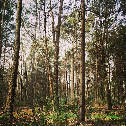
Urban Hiking
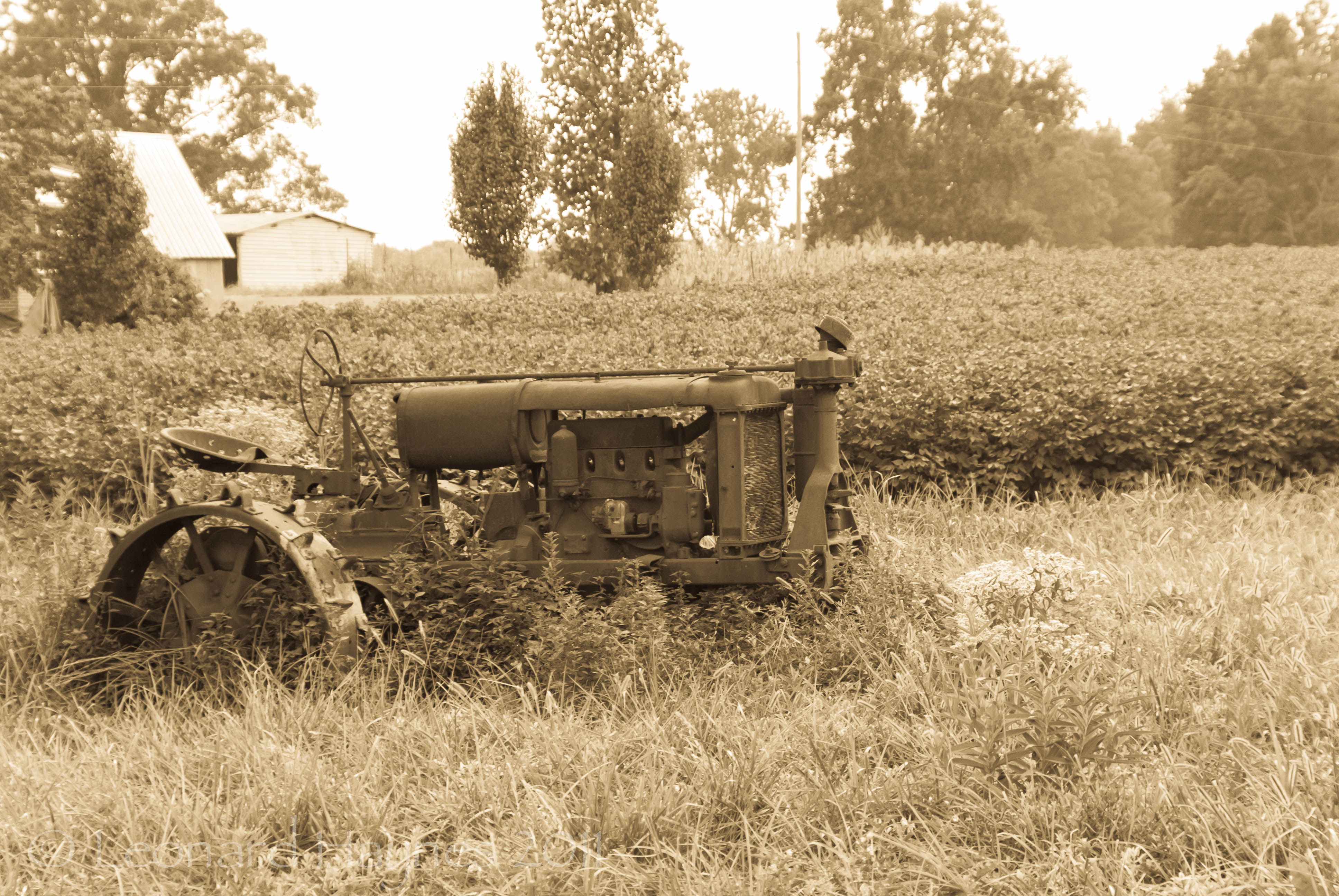
Rusting Tractor-3.jpg
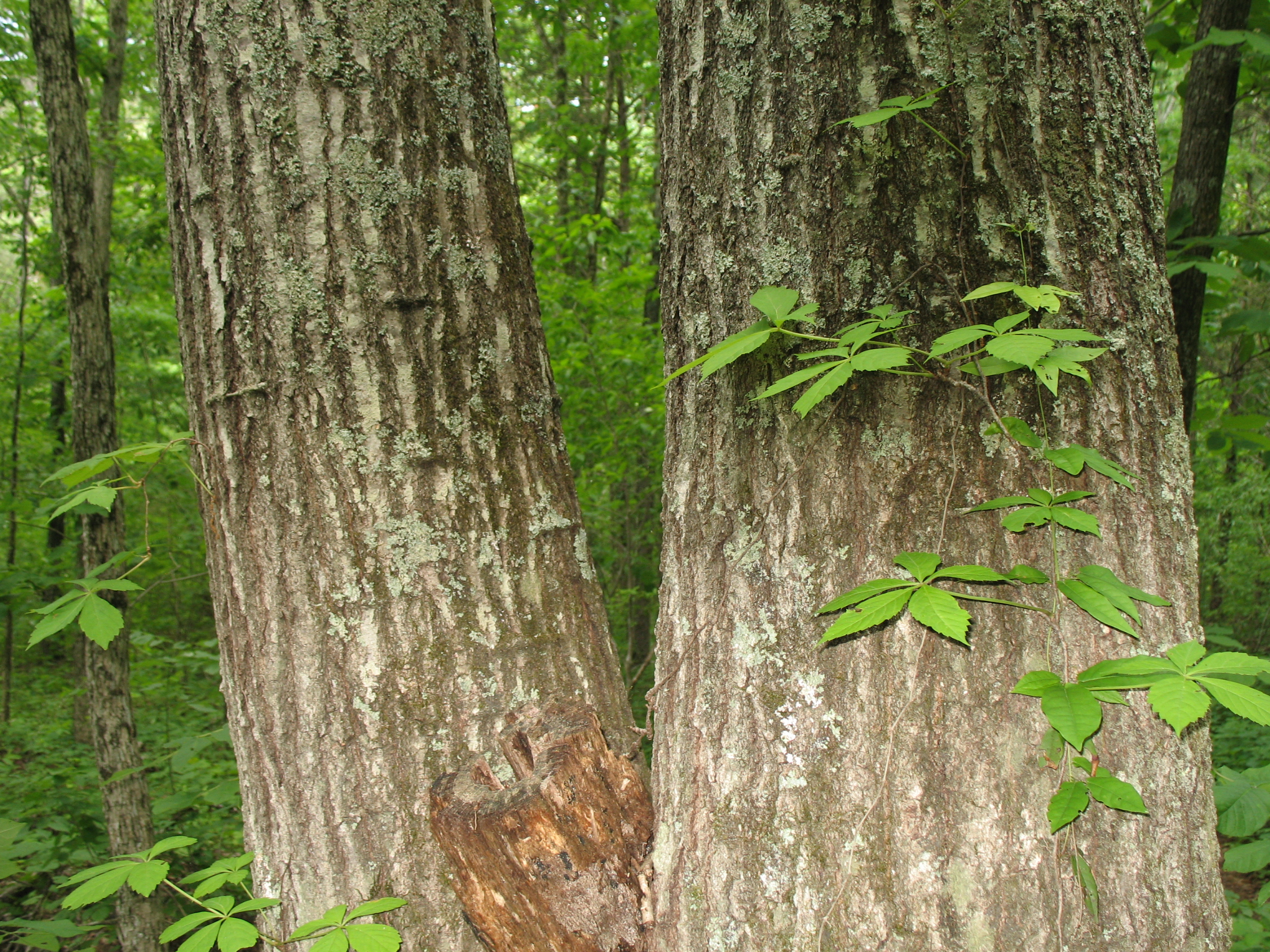
Northern Red Oak - Quercus rubra
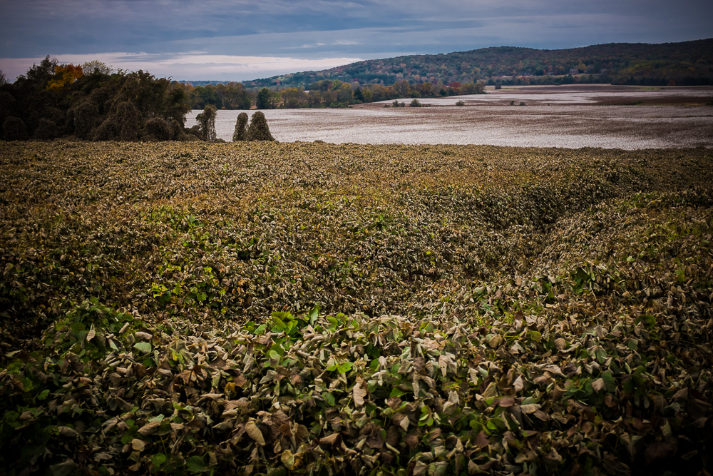
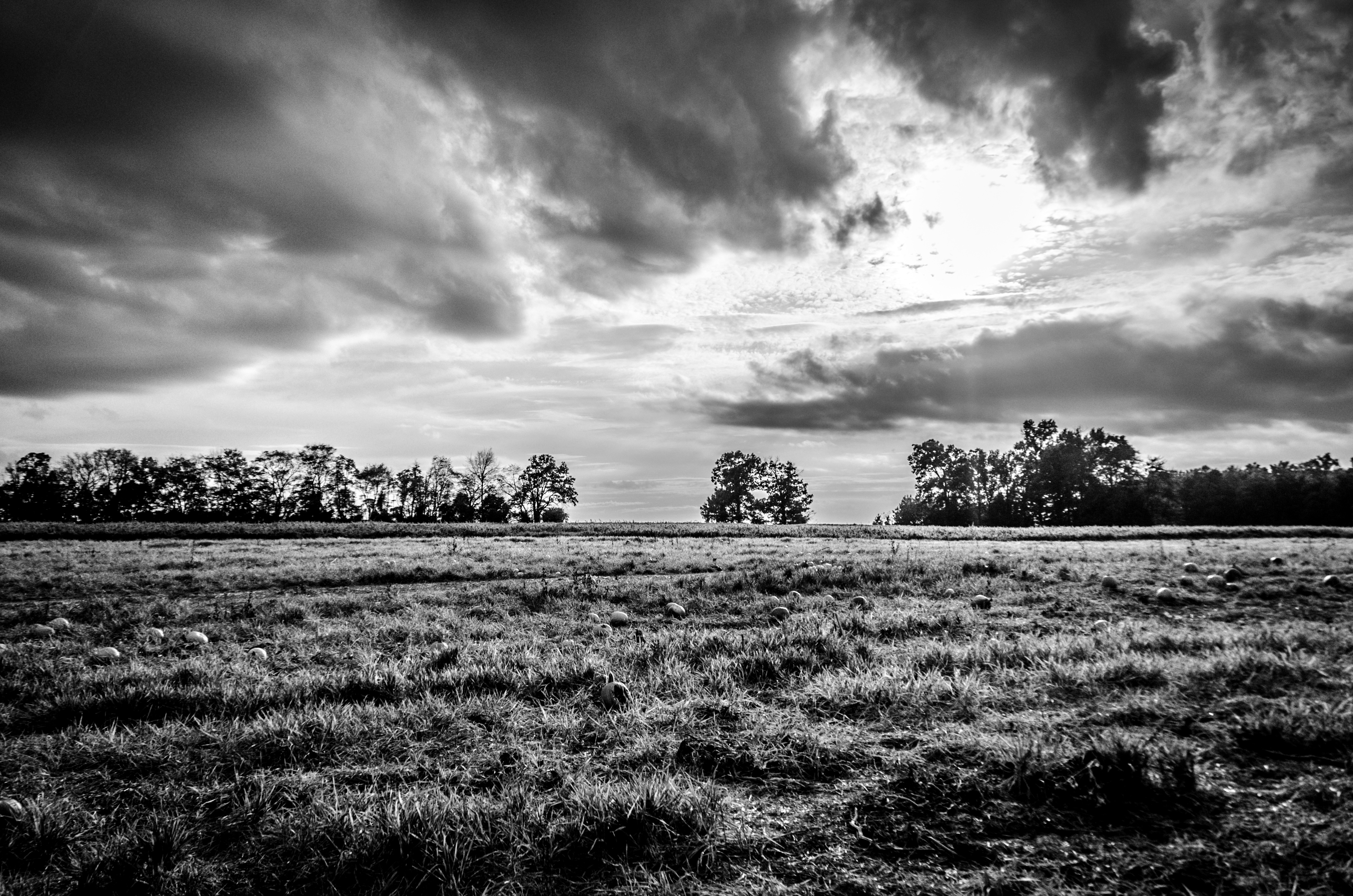
Deep Autumn Rift
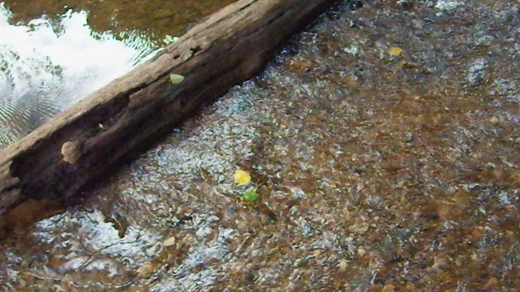
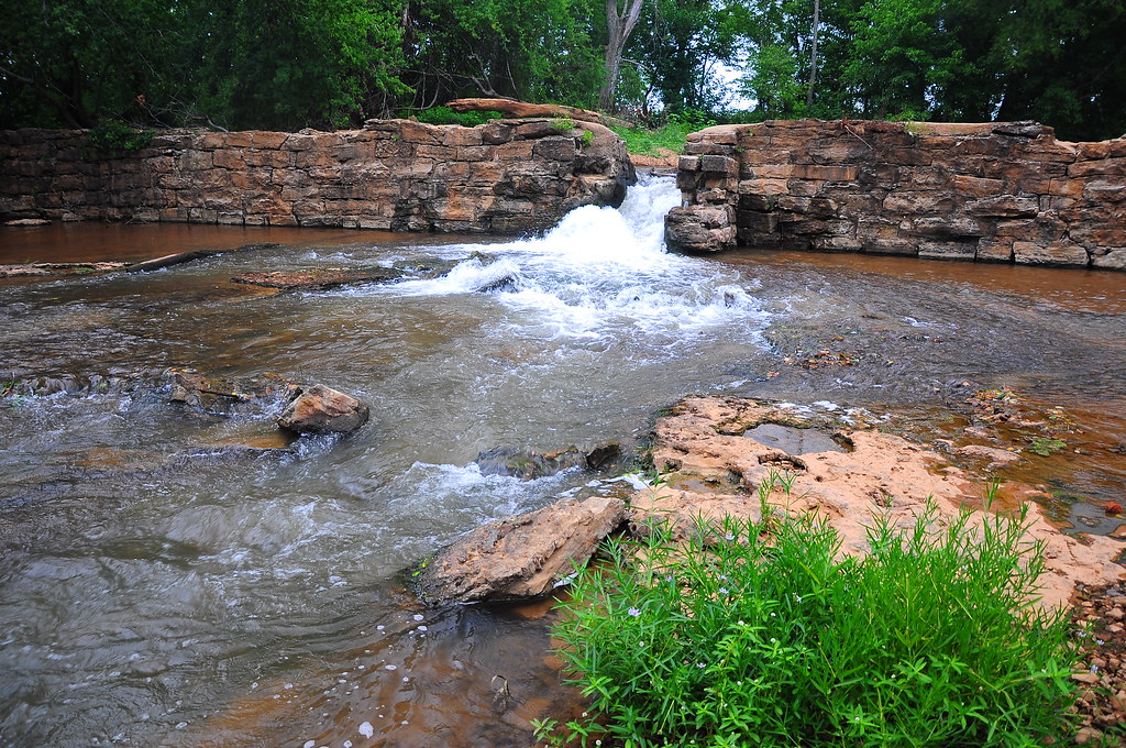
Cool, clear water - m9556
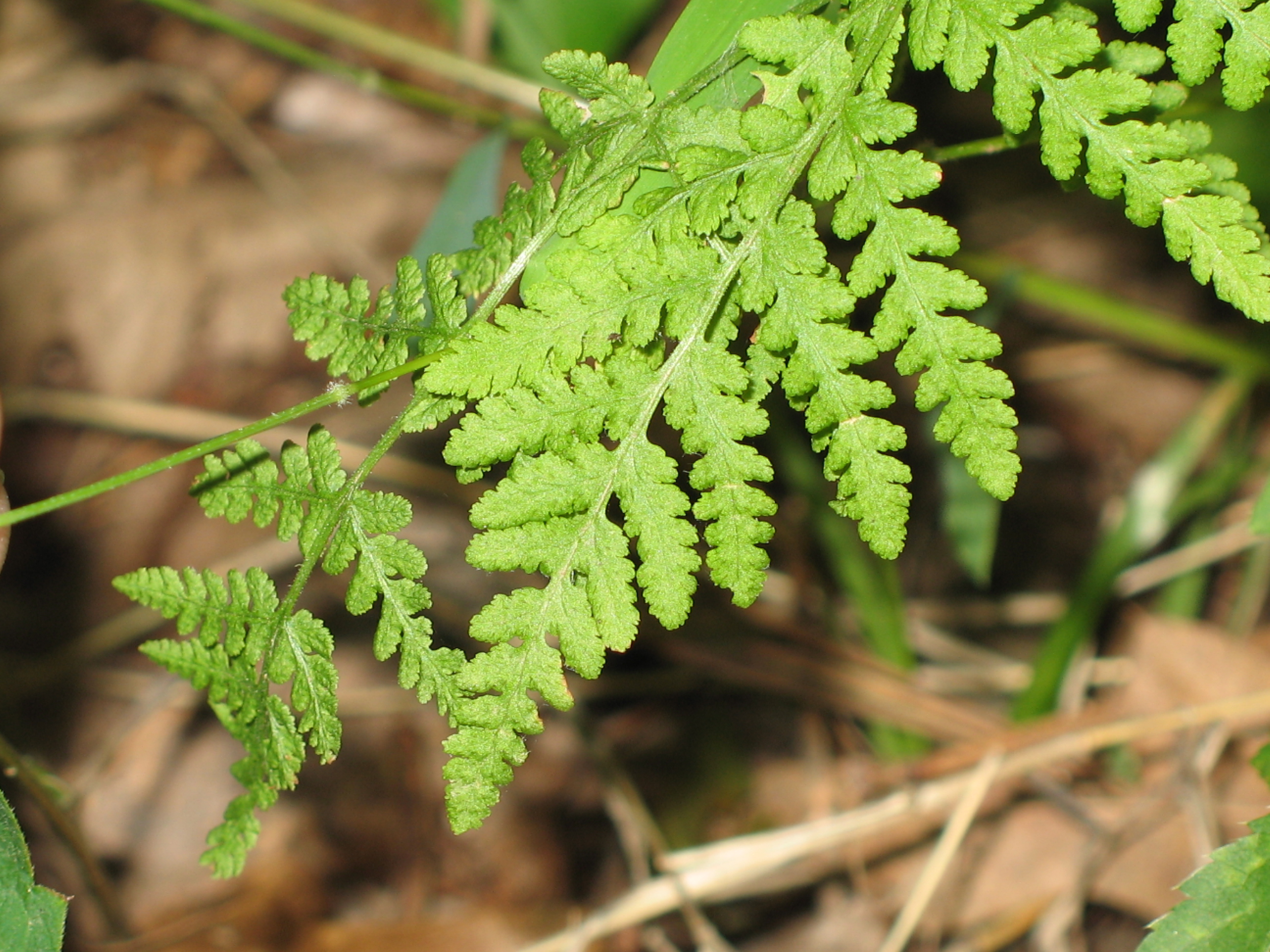
Blunt-lobed Cliff Fern - Woodsia obtusa
#photographersdayoff @enohammocks #enohammocks
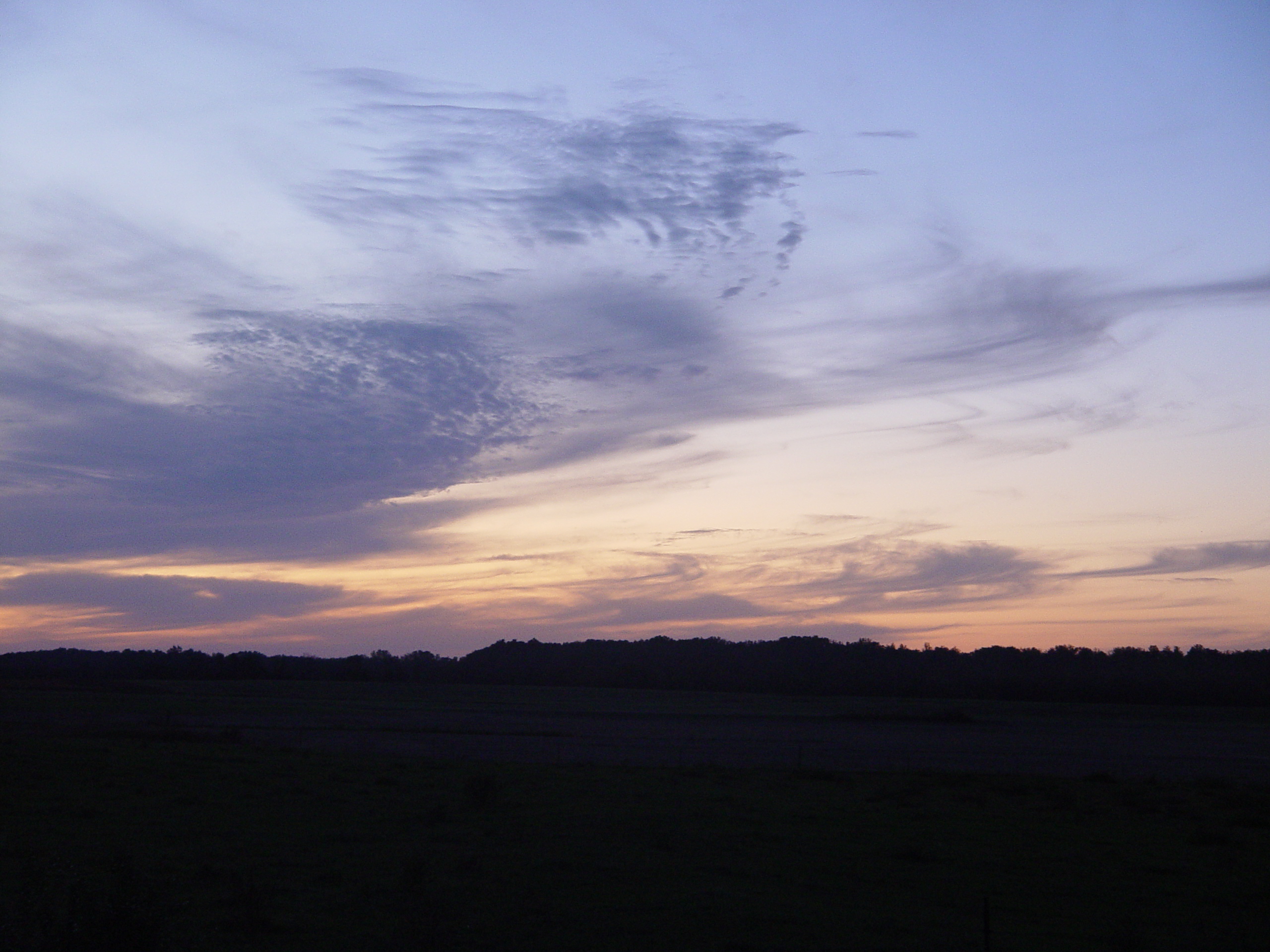
Hazel Green Sunset 3
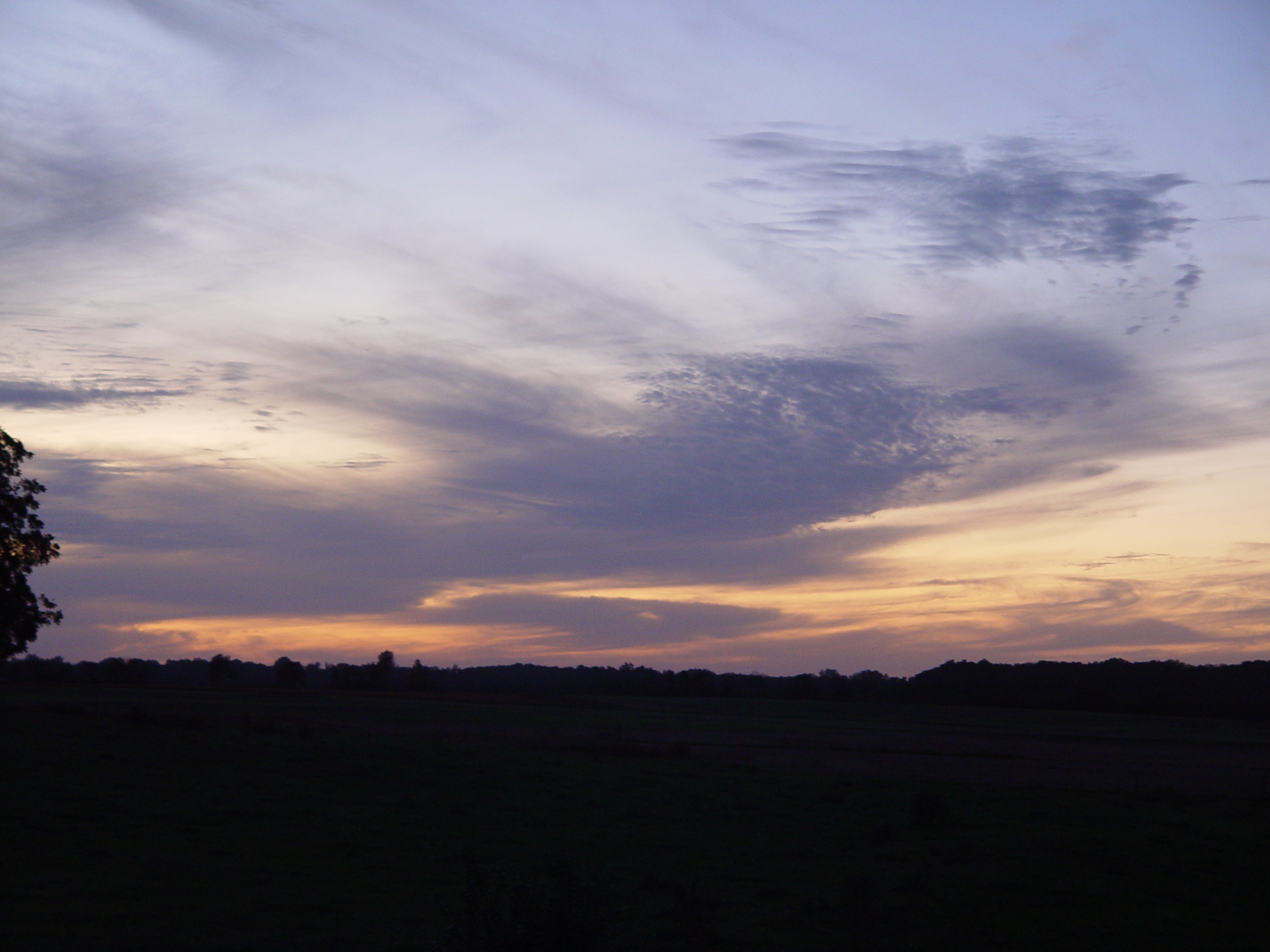
Hazel Green Sunset 6

Fall in Huntsville

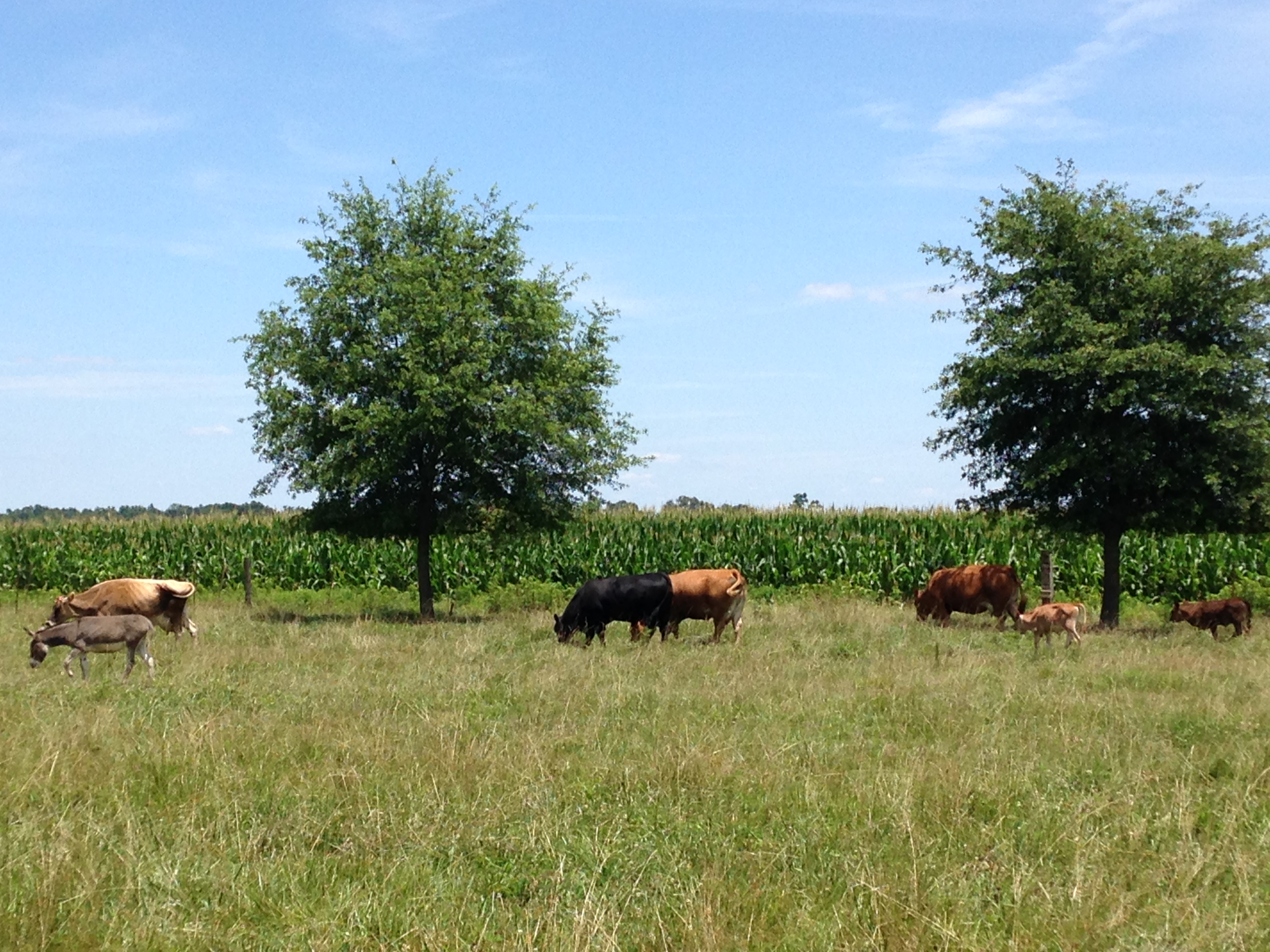
Jersey Babies
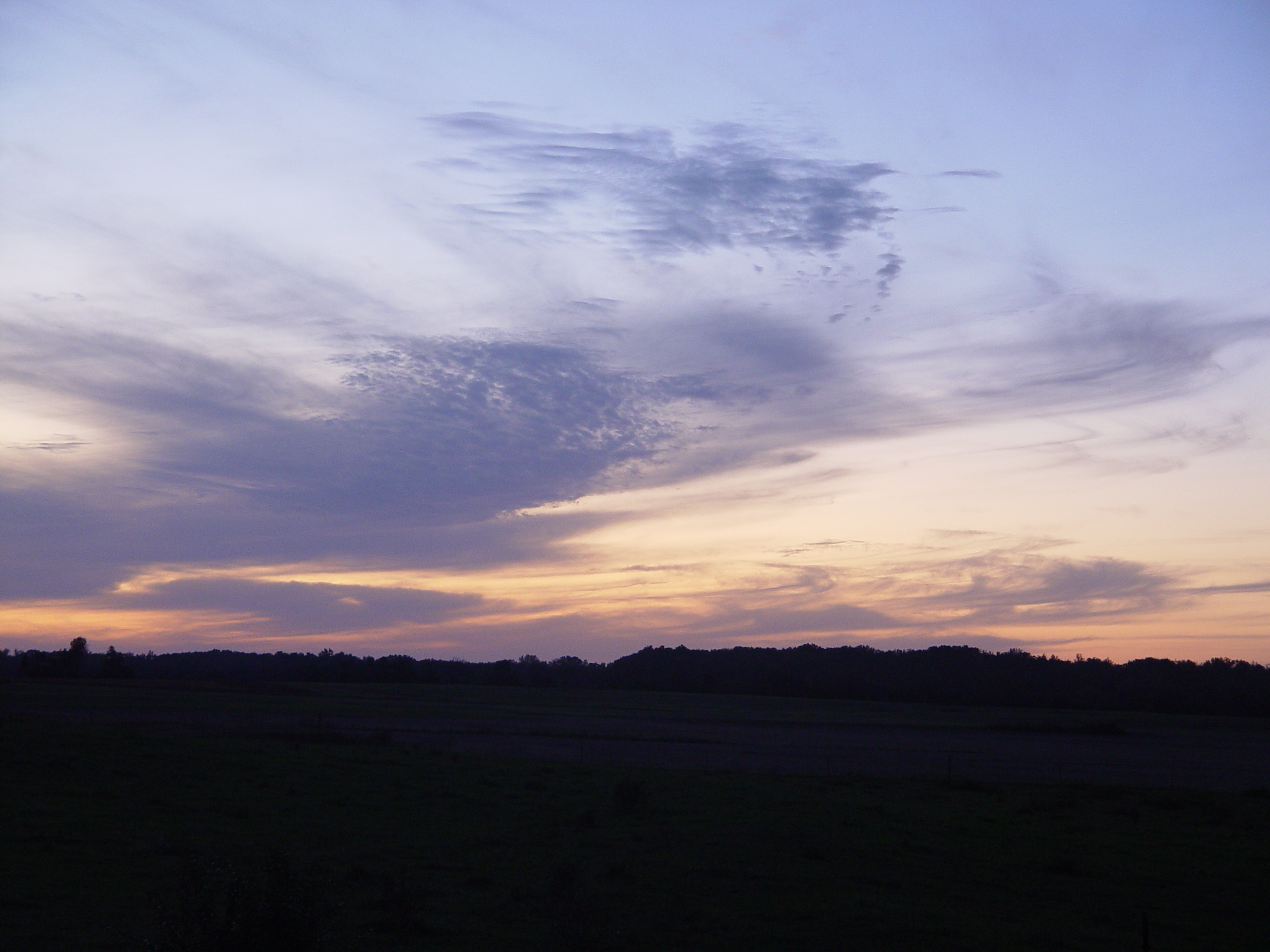
Hazel Green Sunset 5
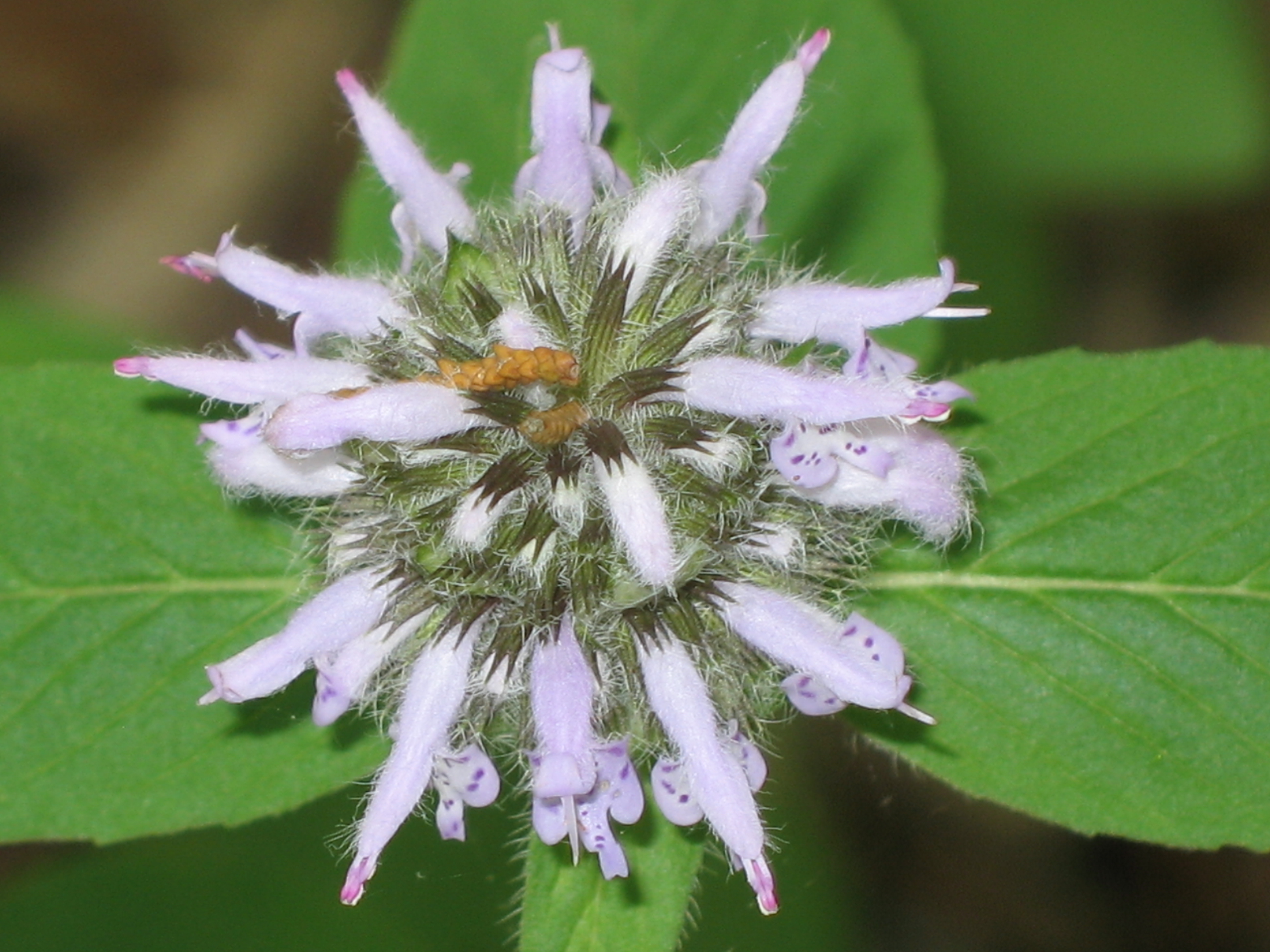
Hairy Wood Mint - Blephilia hirsuta
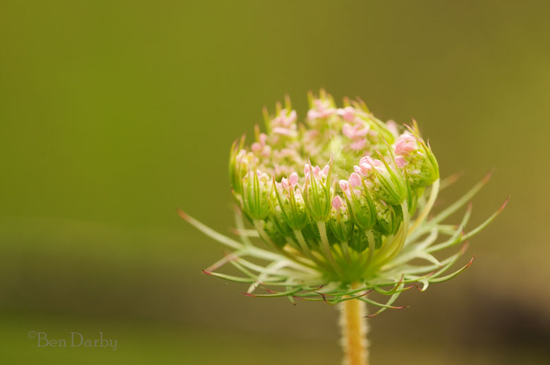
Pink lace
Bloucher's Ford - h
Topographic Map of Bright Rd, Hazel Green, AL, USA
Find elevation by address:

Places near Bright Rd, Hazel Green, AL, USA:
594 Bobo Section Rd
106 Khaki Ridge Dr
Hazel Green
Bullard Road
126 Walls Dr
110 Cool Creek Dr
Elkwood Section Rd & Mason Rd
1312 Charity Ln
1389 Elkwood Section Rd
367 Walker Ln
Bobo Section Road
Bobo Section Road
Elkwood Section Rd & Luke Hicks Rd
Charity Ln, Hazel Green, AL, USA
1180 Grimwood Rd
Greenville Pike, Hazel Green, AL, USA
Banyon Road
111 Bluewater Dr
339 Shady Ln
563 Shady Ln
Recent Searches:
- Elevation of Alisal Rd, Solvang, CA, USA
- Elevation of Vista Blvd, Sparks, NV, USA
- Elevation of 15th Ave SE, St. Petersburg, FL, USA
- Elevation of Beall Road, Beall Rd, Florida, USA
- Elevation of Leguwa, Nepal
- Elevation of County Rd, Enterprise, AL, USA
- Elevation of Kolchuginsky District, Vladimir Oblast, Russia
- Elevation of Shustino, Vladimir Oblast, Russia
- Elevation of Lampiasi St, Sarasota, FL, USA
- Elevation of Elwyn Dr, Roanoke Rapids, NC, USA