Elevation of Minerva, IA, USA
Location: United States > Iowa > Marshall County >
Longitude: -93.157887
Latitude: 42.0941948
Elevation: 311m / 1020feet
Barometric Pressure: 98KPa
Elevation Map:
Satellite Map:
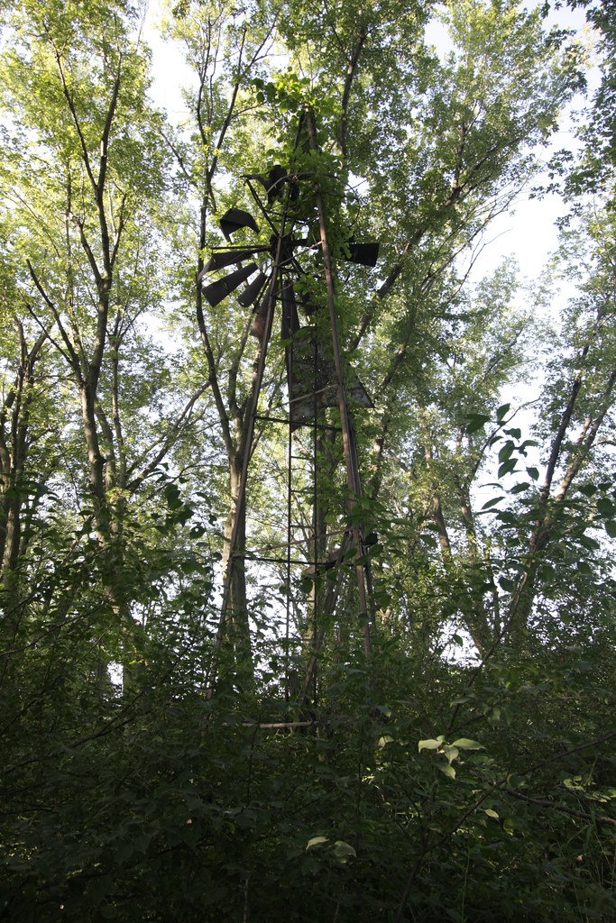
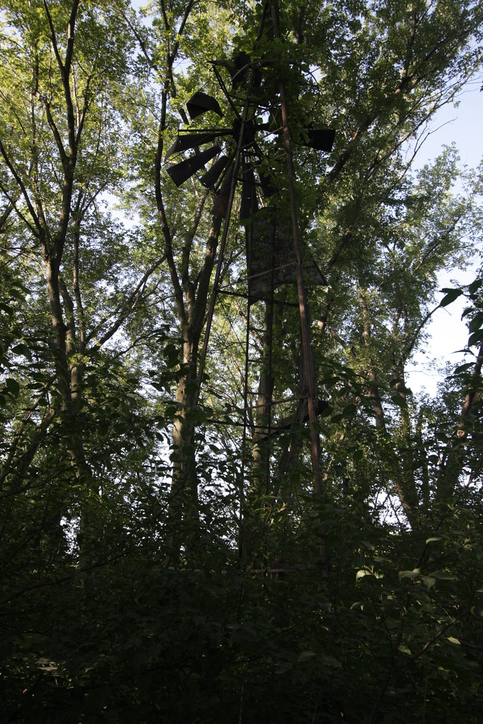
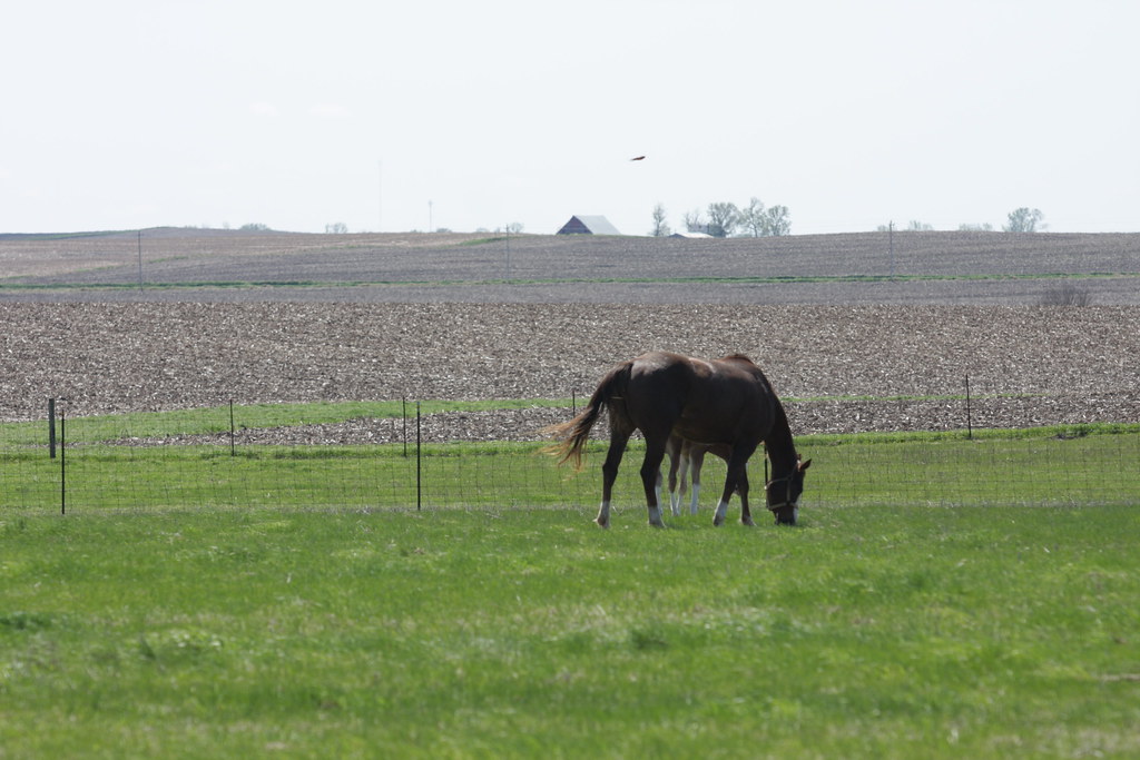
Related Photos:
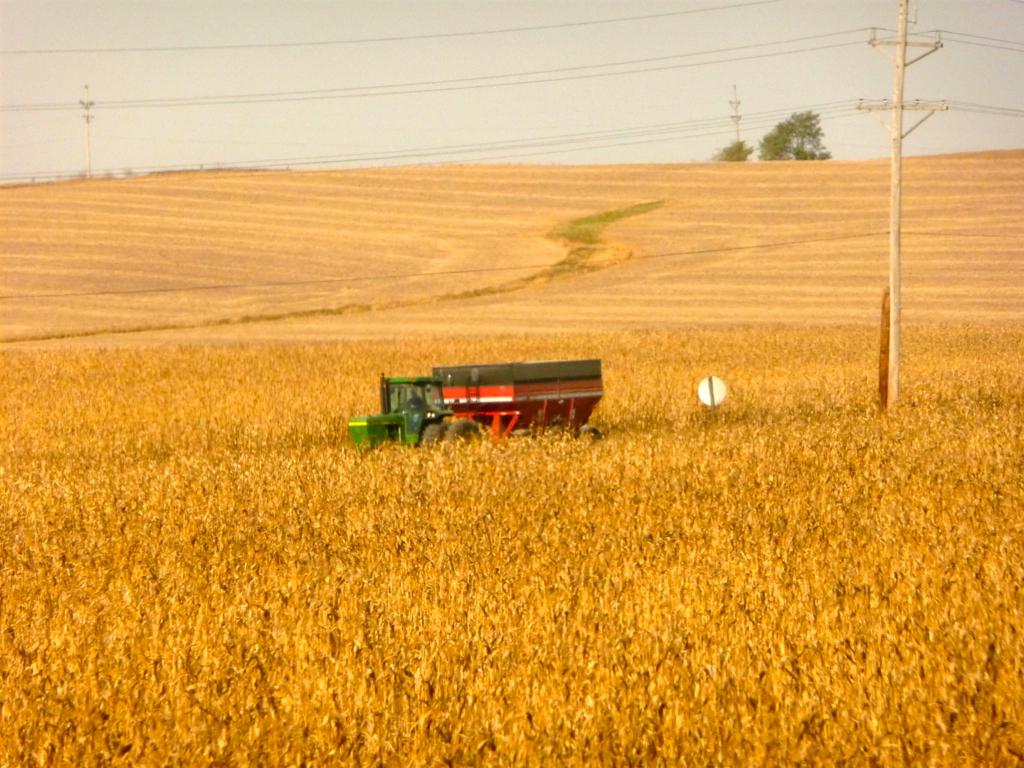
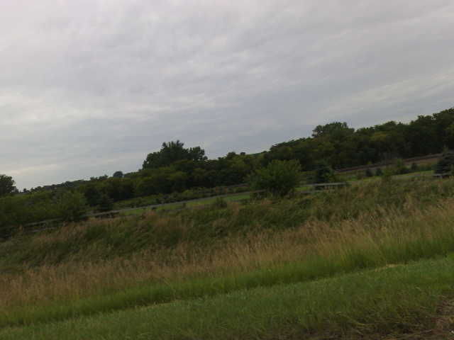
Iowa: Corn Harvest Time
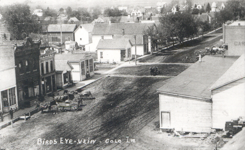
Colo, Iowa, Aerial View

The L&J Station in monochrome (2 of 3)
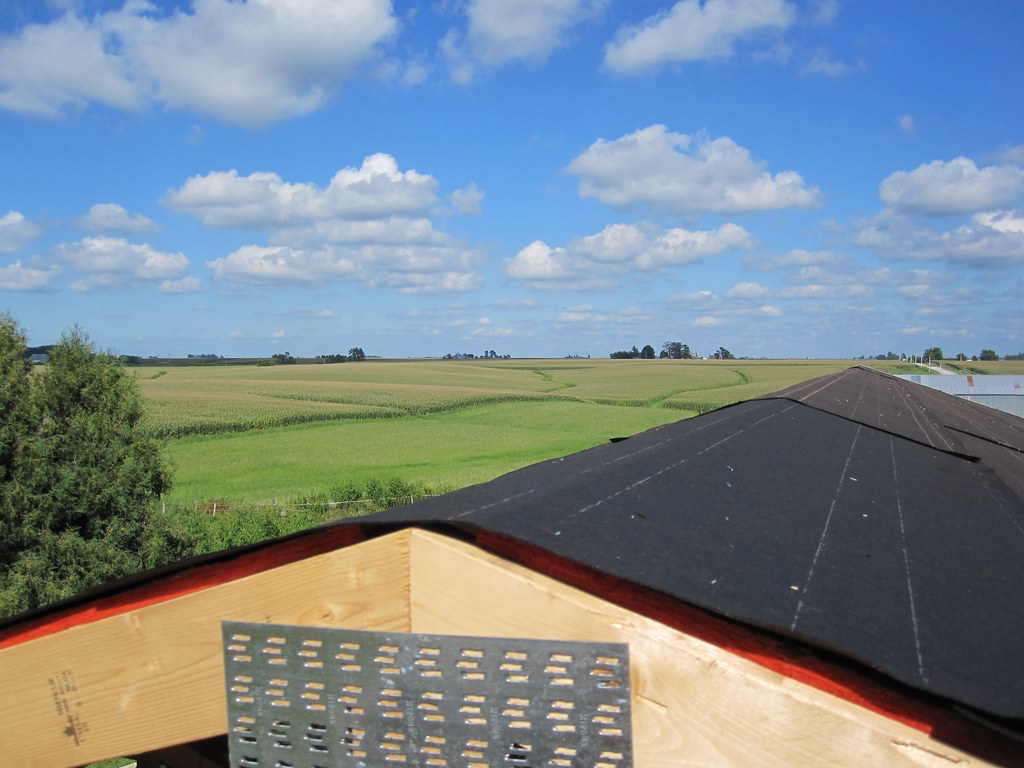
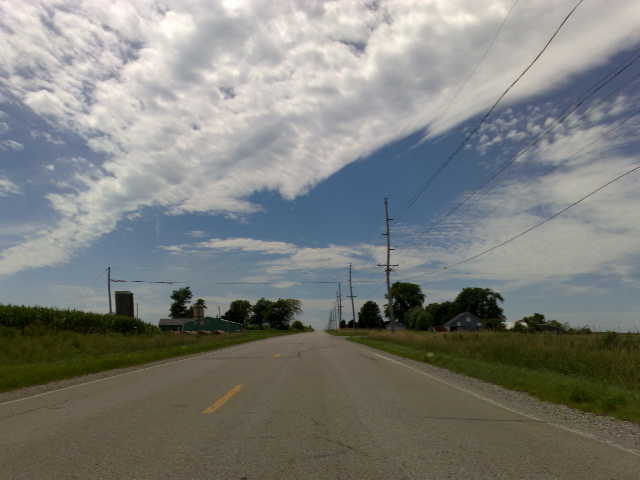
MD 181 (2010-Aug-14): View From the Top
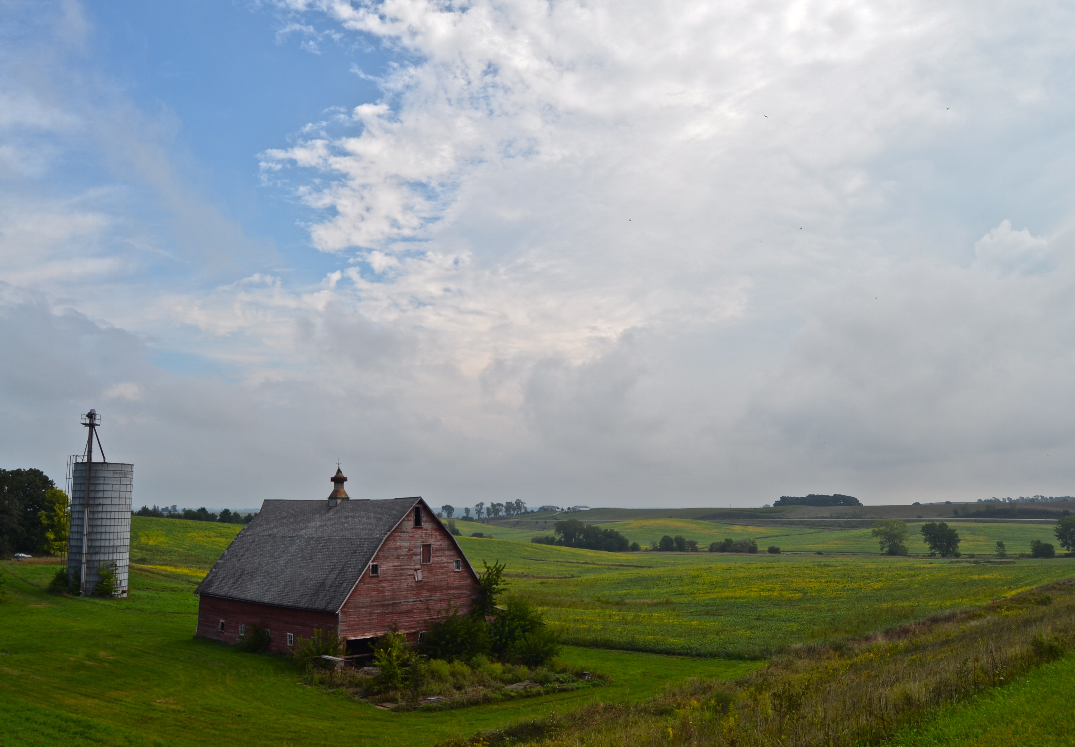
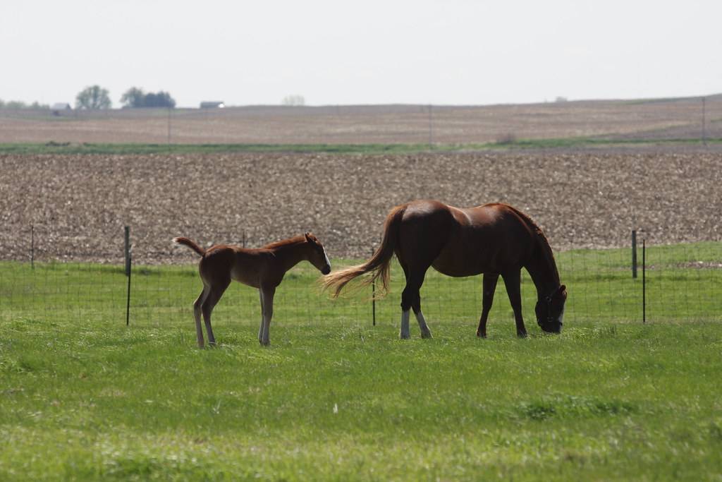
Barn and Silo

Sun Dog

IMG_03224.JPG
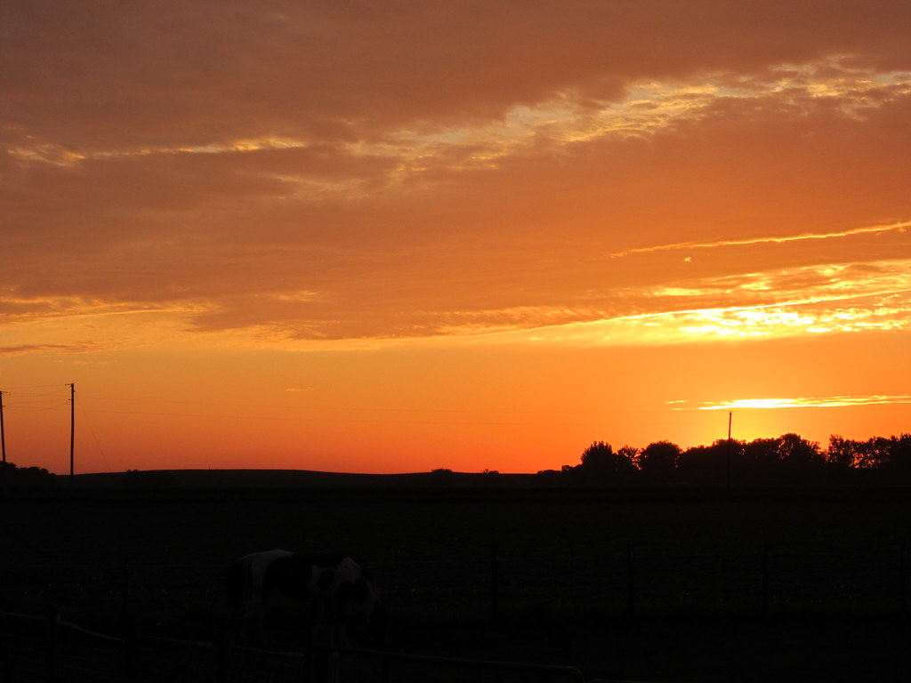
Iowa Sunset
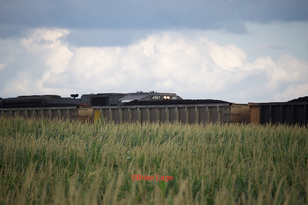
UP 4987
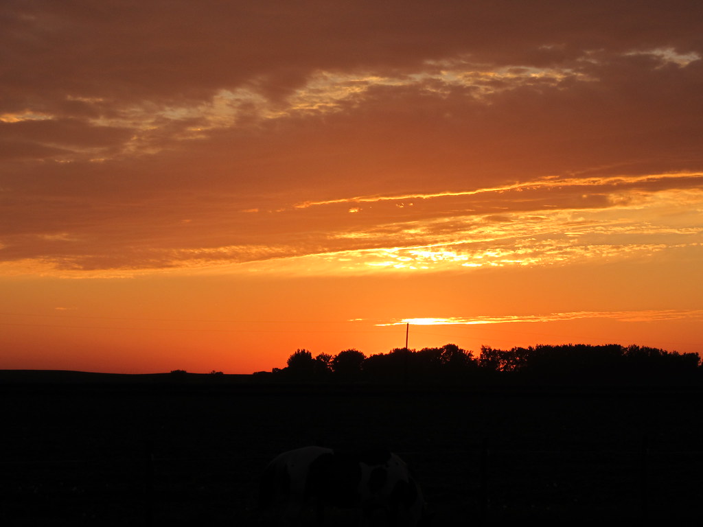
Iowa Sunset
IMG_03223.JPG
Blue Steel took a picture!

Blue Steel took a picture!
IMG_19013.JPG

State Center, Iowa, Union Pacific Railroad, Siding, Abandoned
IMG_19019.JPG
IMG_19018.JPG
IMG_19020.JPG

Blue Steel took a picture!
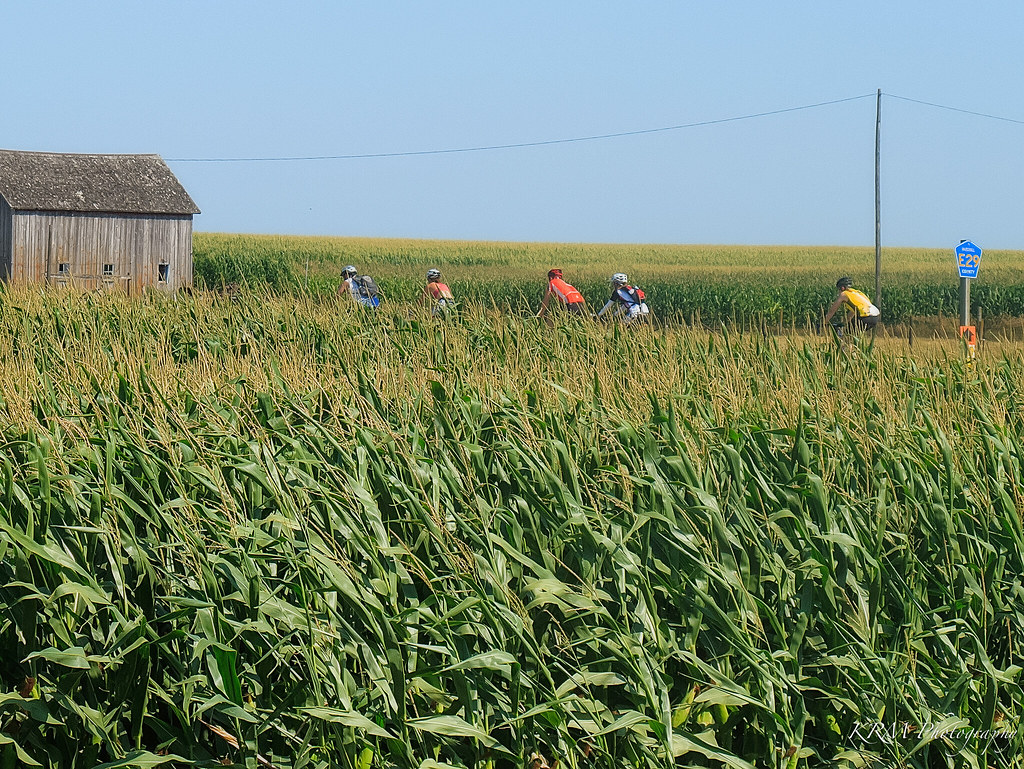
Cornfields. RAGBRAI XL.
IMG_19014.JPG
IMG_03214.JPG
IMG_03222.JPG
Blue Steel took a picture!
Topographic Map of Minerva, IA, USA
Find elevation by address:

Places near Minerva, IA, USA:
2170 Canfield Ave
State Center
E Main St, State Center, IA, USA
State Center
Lincoln
E Main St, Zearing, IA, USA
Zearing
101 Collins St
New Albany
4th St, Colo, IA, USA
Colo
3305 Merritt Rd
Liscomb
Iowa
Marshall County
1207 Fremont St
Timber Creek
Collins
Richland St, Nevada, IA, USA
2849 Newby Ave
Recent Searches:
- Elevation of Tenjo, Cundinamarca, Colombia
- Elevation of Côte-des-Neiges, Montreal, QC H4A 3J6, Canada
- Elevation of Bobcat Dr, Helena, MT, USA
- Elevation of Zu den Ihlowbergen, Althüttendorf, Germany
- Elevation of Badaber, Peshawar, Khyber Pakhtunkhwa, Pakistan
- Elevation of SE Heron Loop, Lincoln City, OR, USA
- Elevation of Slanický ostrov, 01 Námestovo, Slovakia
- Elevation of Spaceport America, Co Rd A, Truth or Consequences, NM, USA
- Elevation of Warwick, RI, USA
- Elevation of Fern Rd, Whitmore, CA, USA