Elevation of Milton Mills, Milton, NH, USA
Location: United States > New Hampshire > Strafford County > Milton >
Longitude: -70.962968
Latitude: 43.5006042
Elevation: 136m / 446feet
Barometric Pressure: 100KPa
Elevation Map:
Satellite Map:
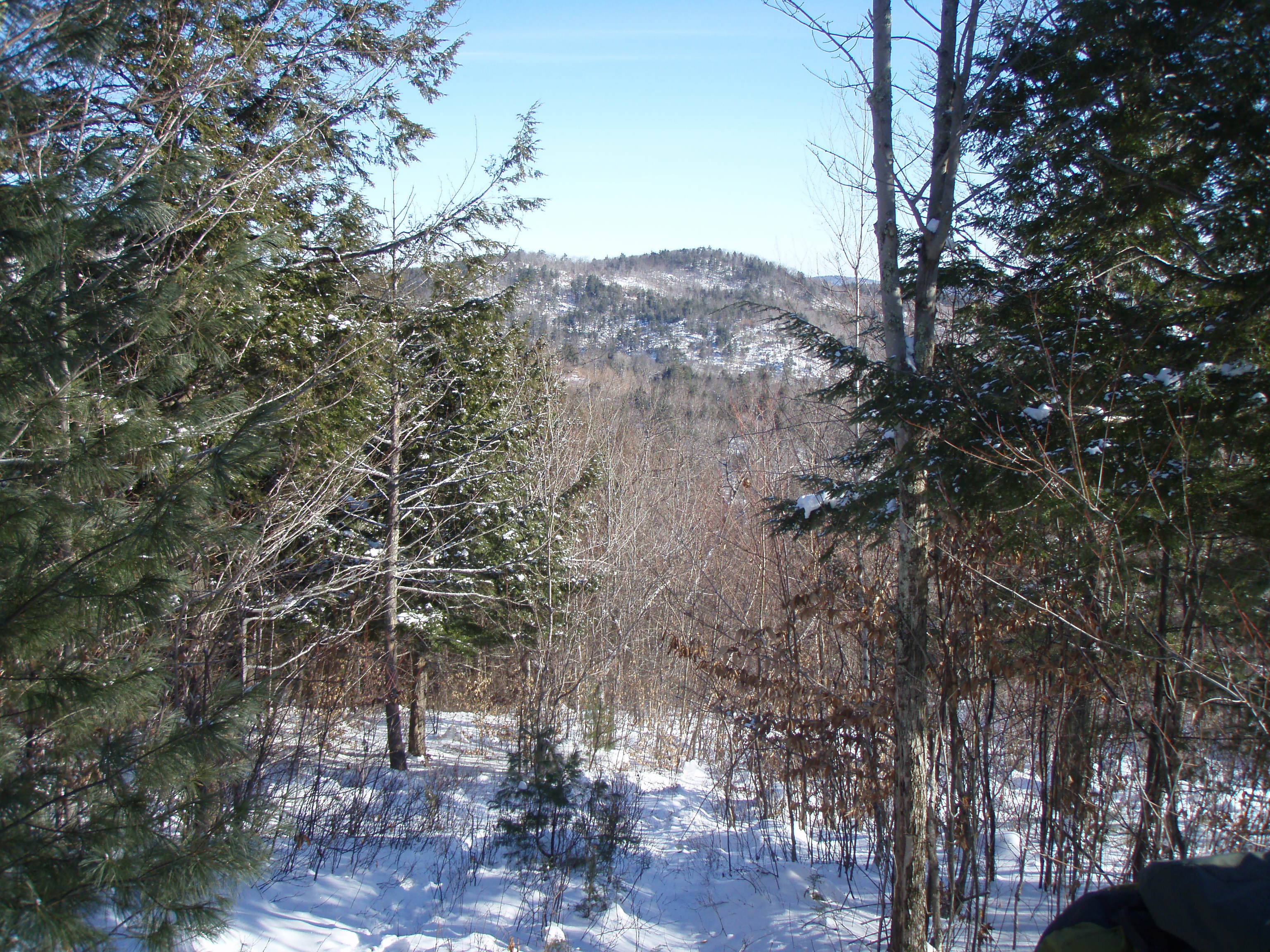
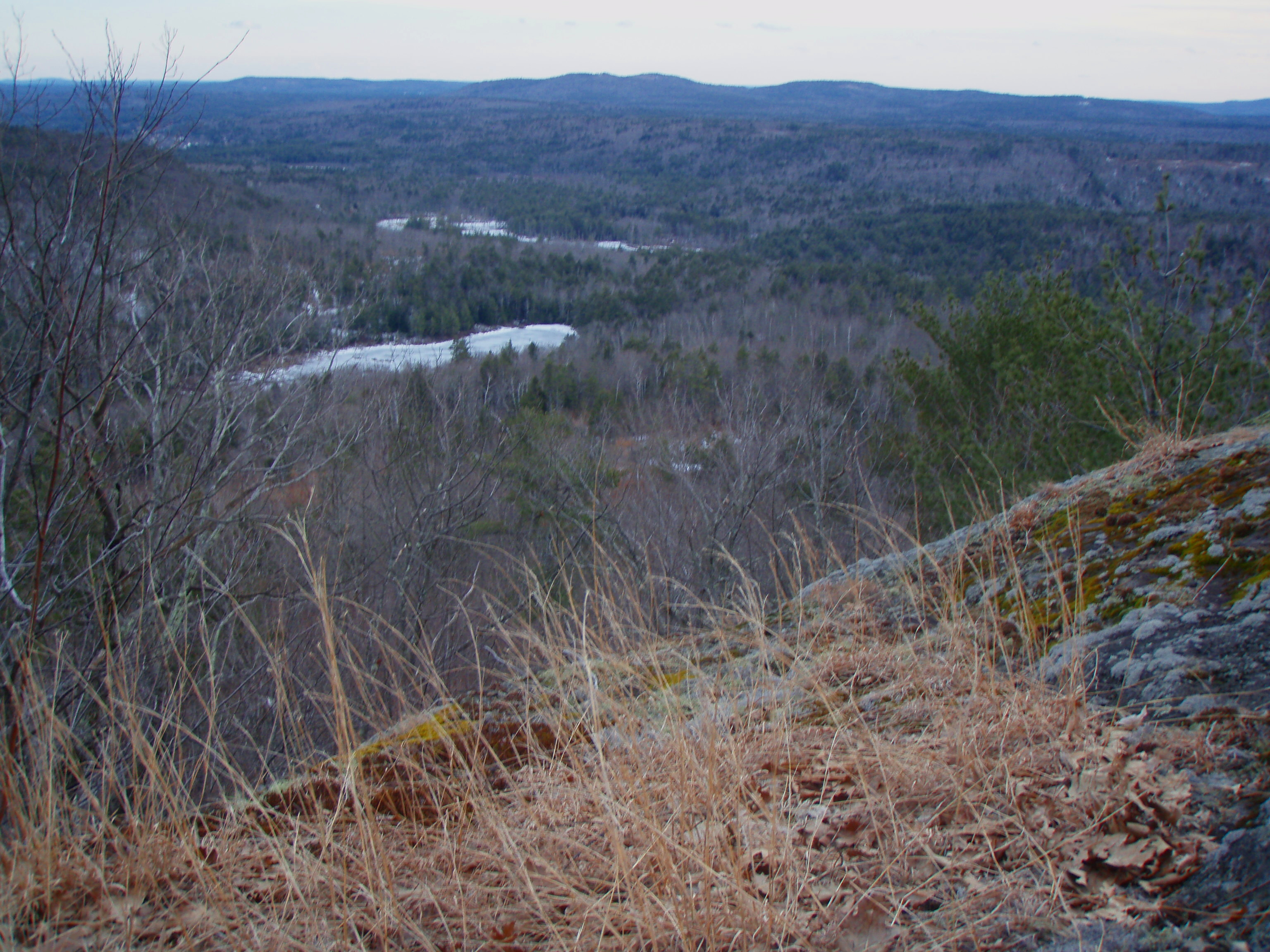
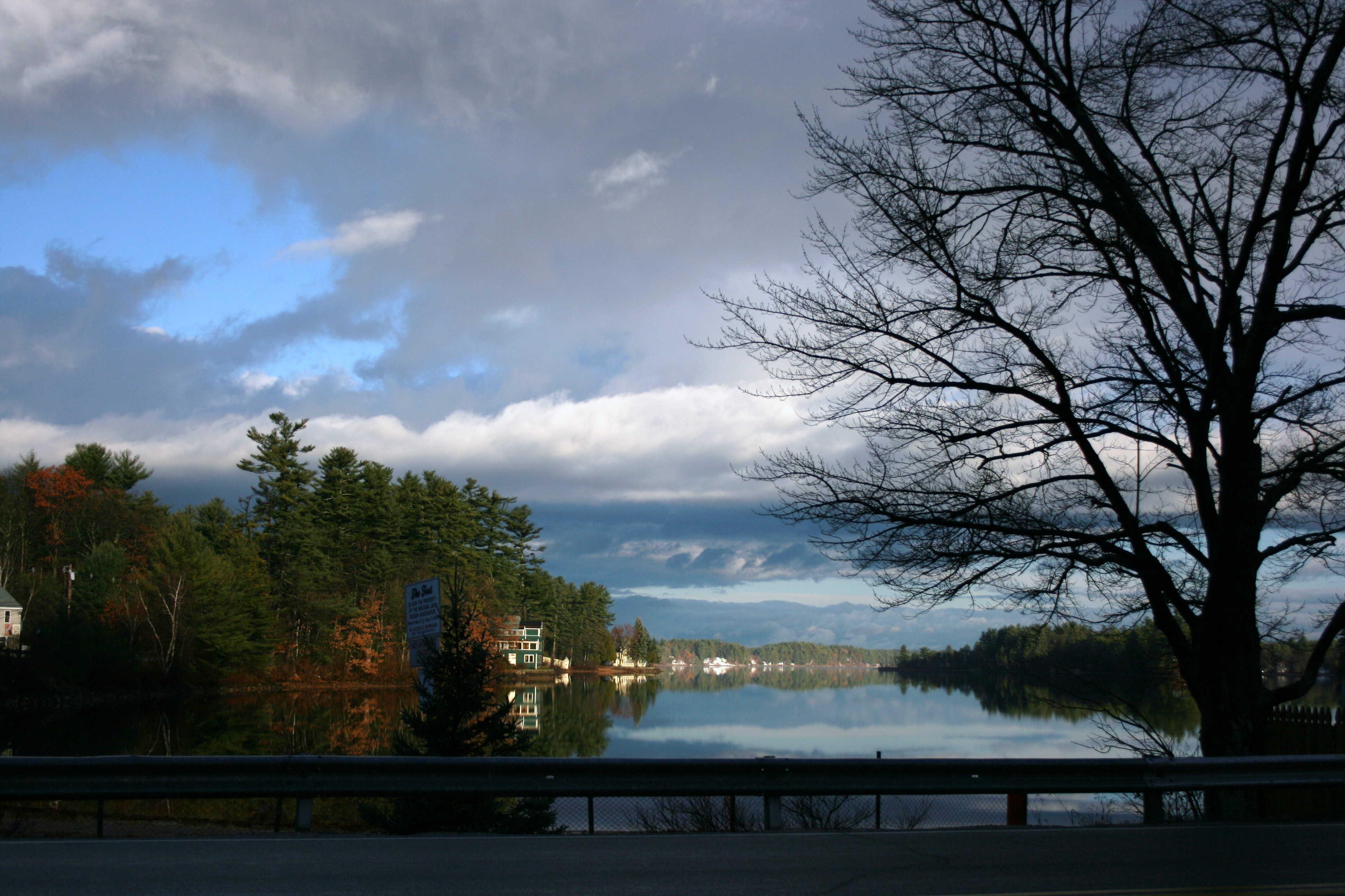
Related Photos:
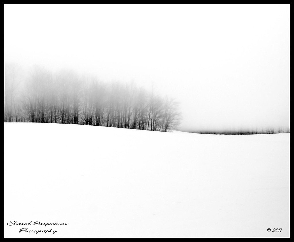
Where Clouds and Snow Meet b&w
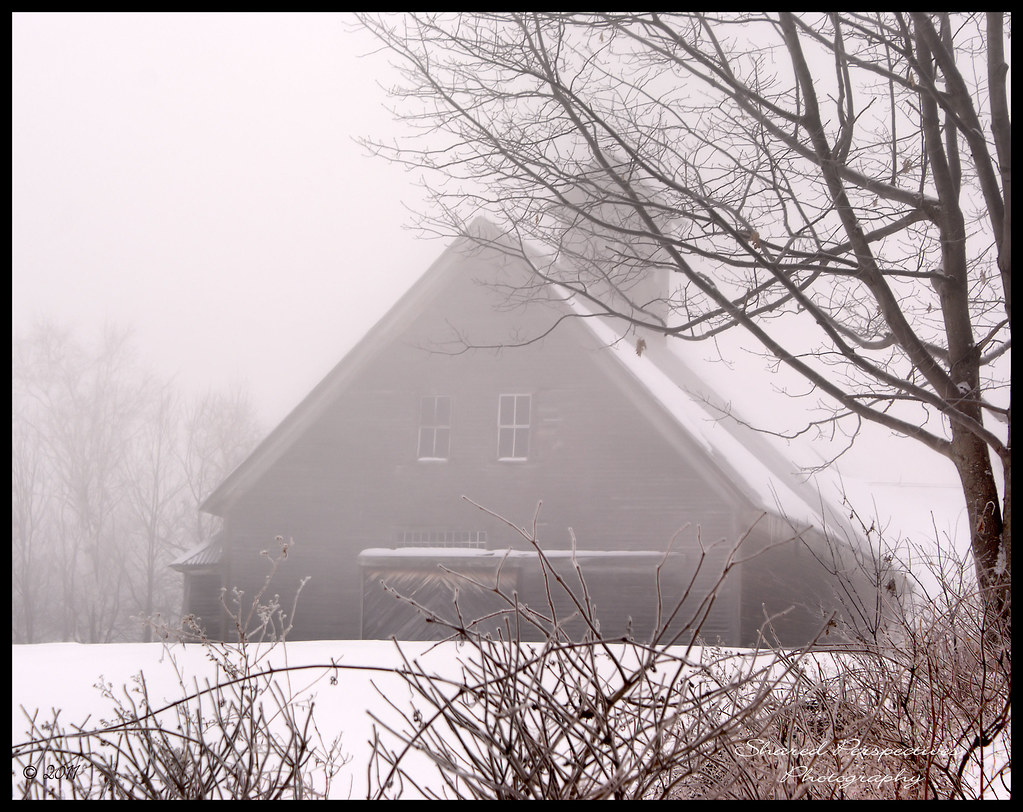
In the Clouds
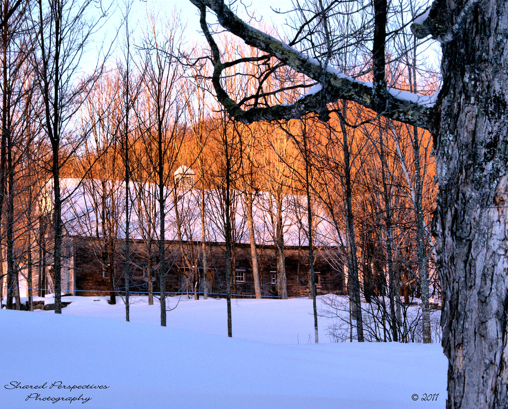
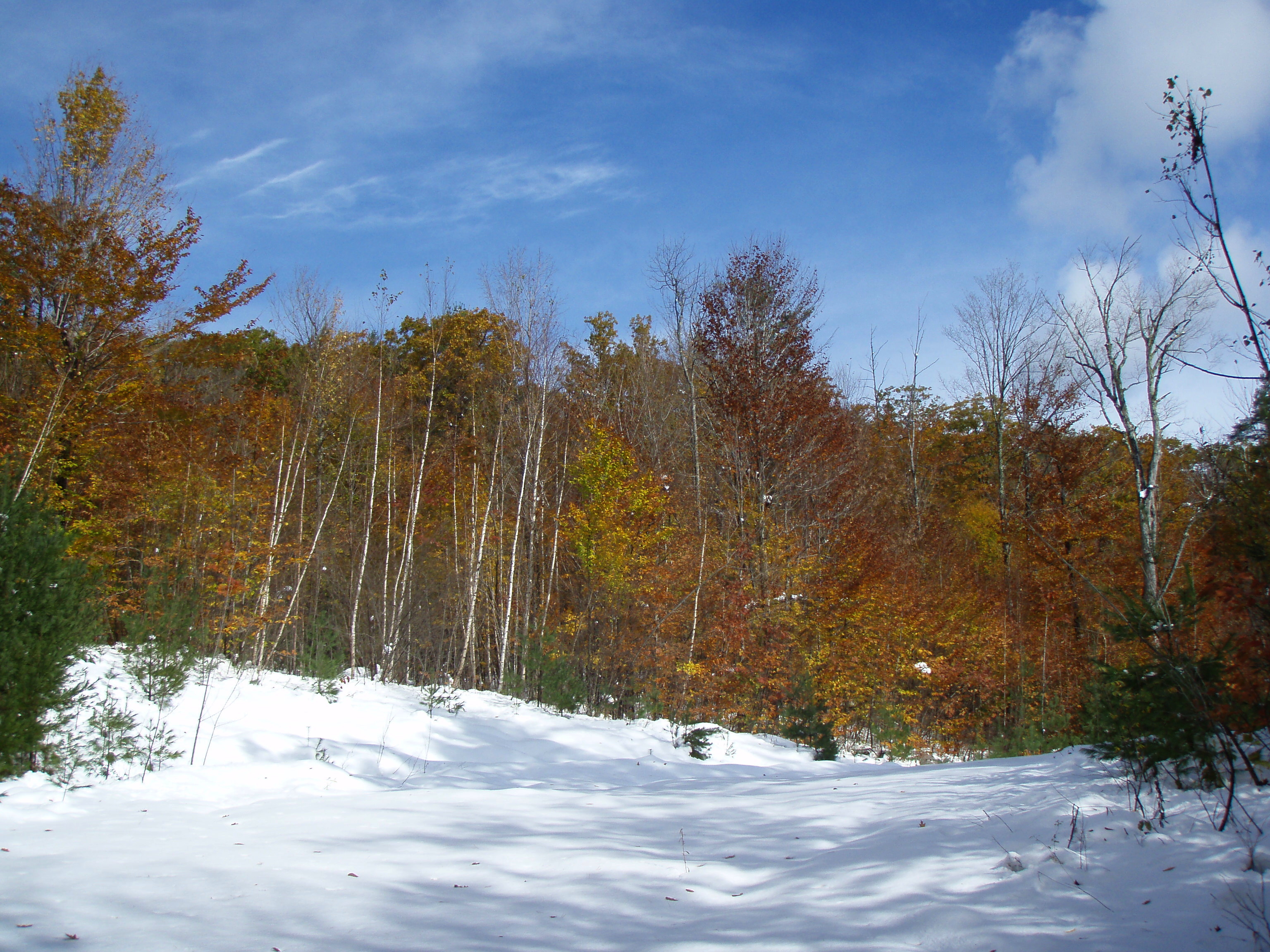
Beyond the Maple Trees
View from upper landing on North Trail
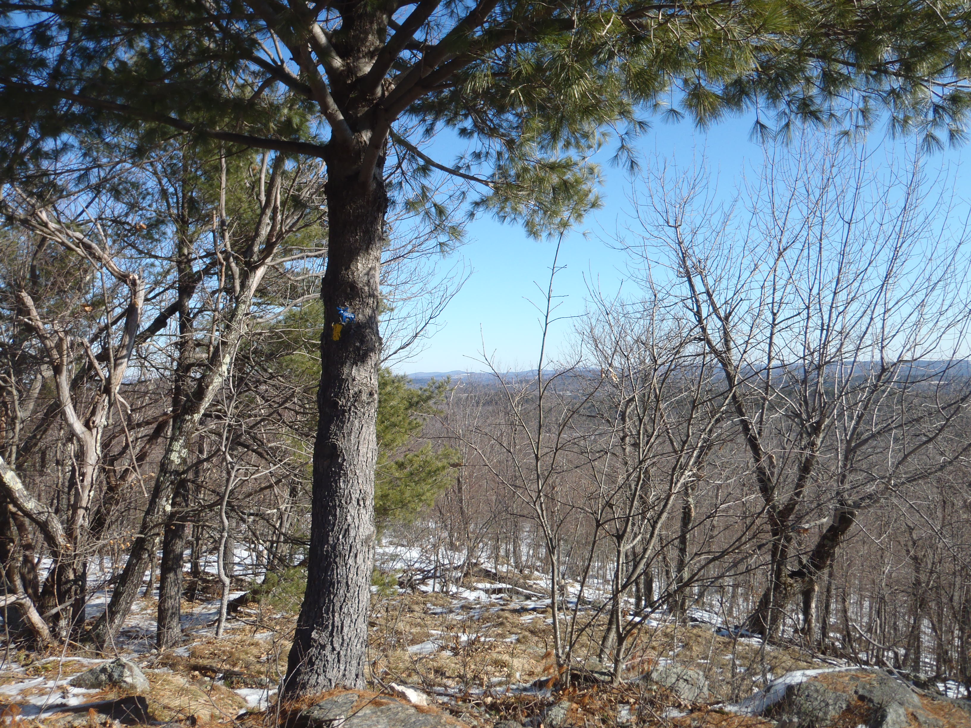
North View trail
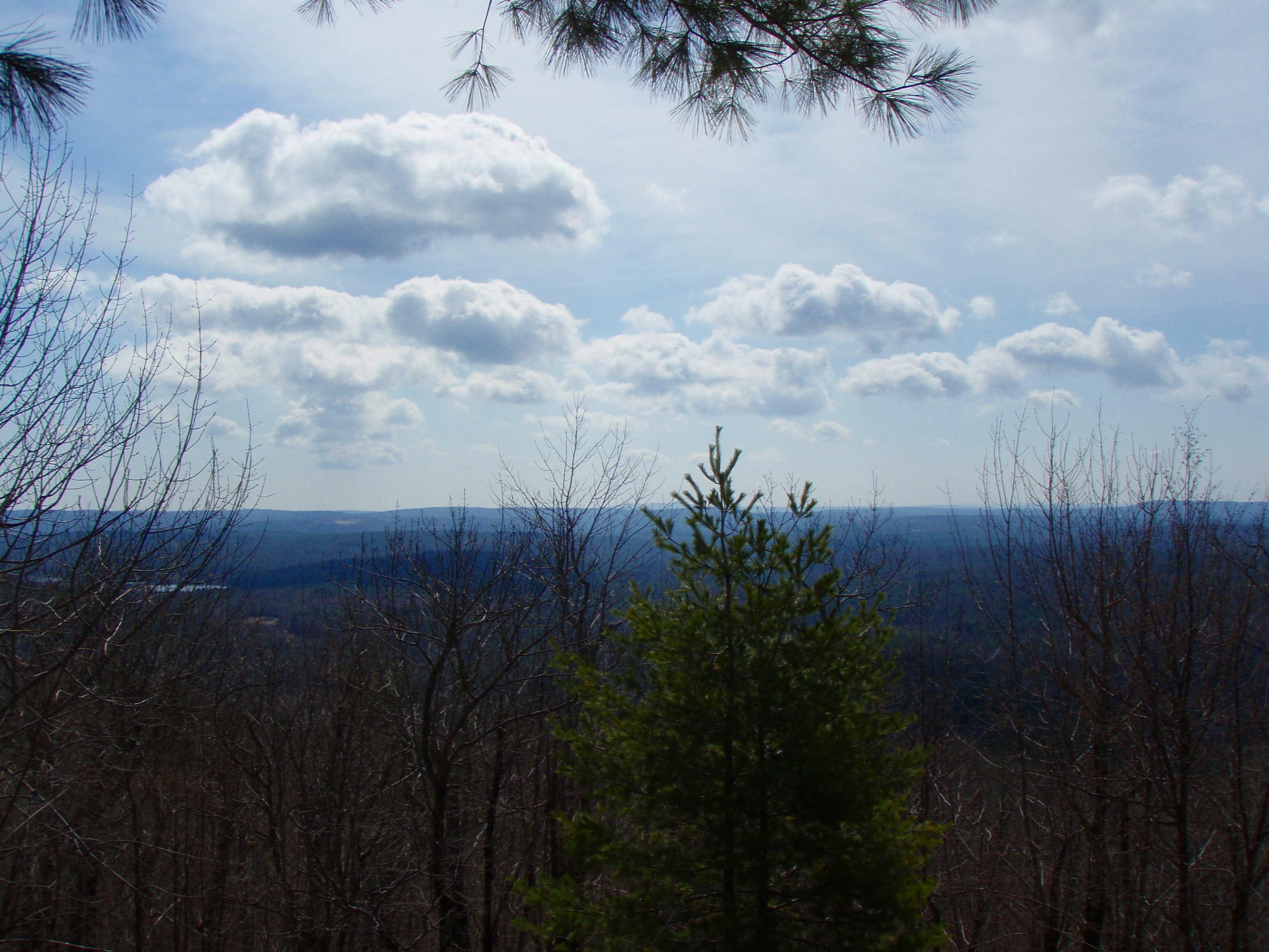
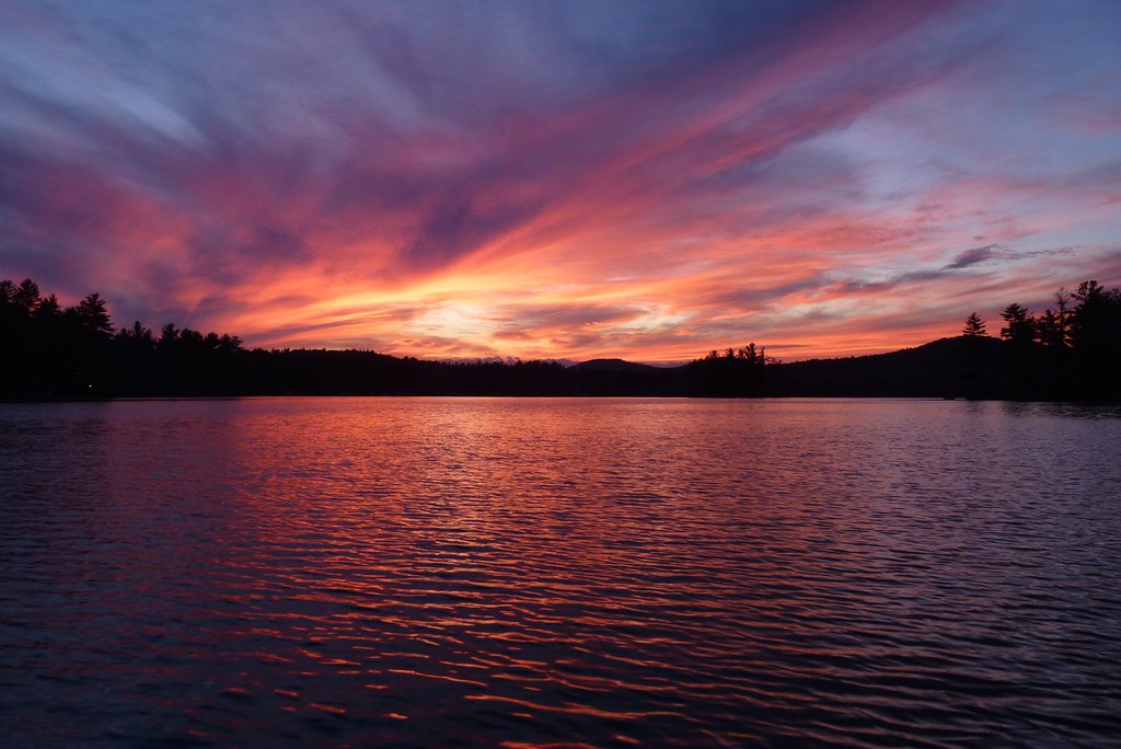
"Clearing Skies"
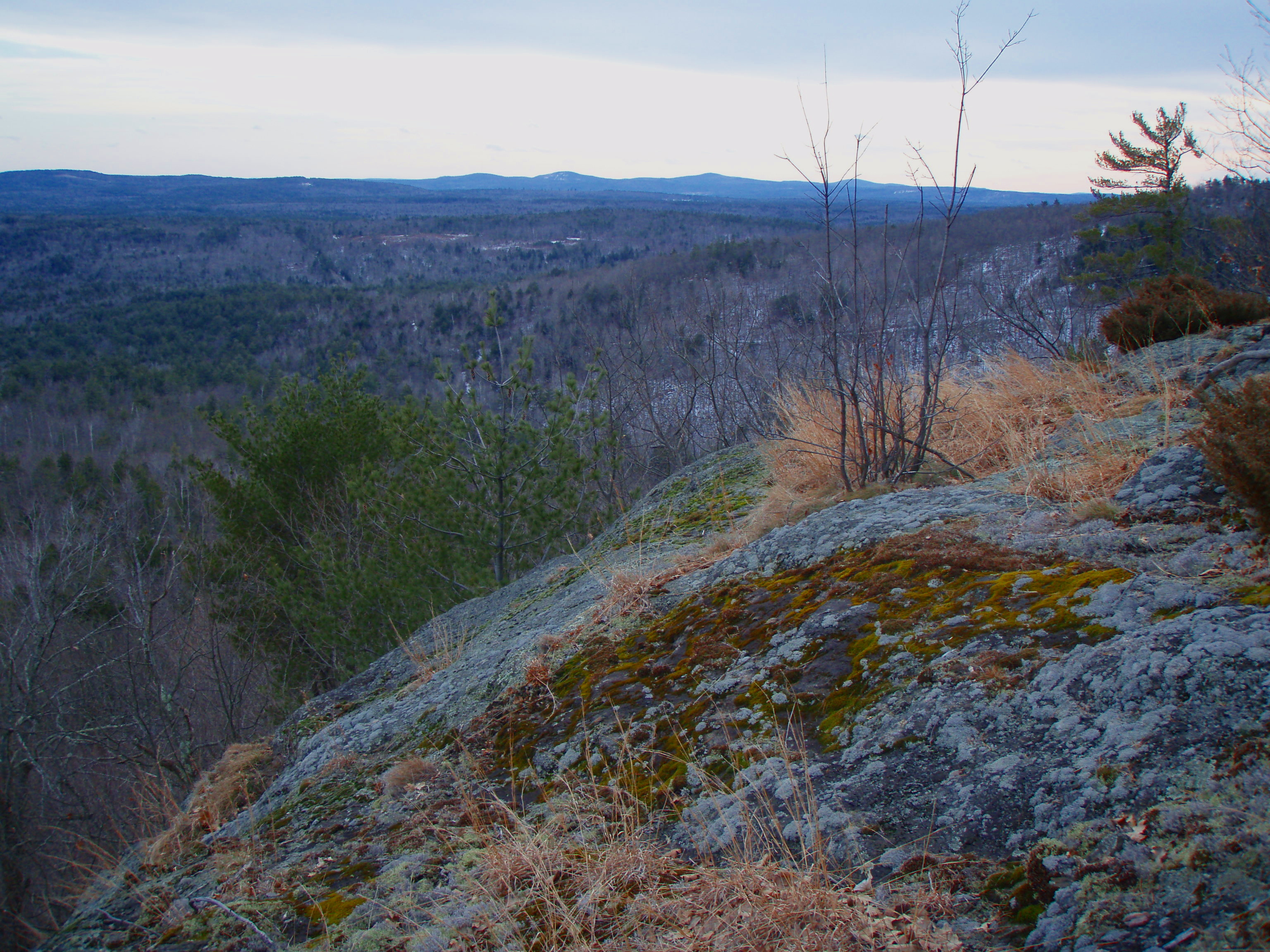
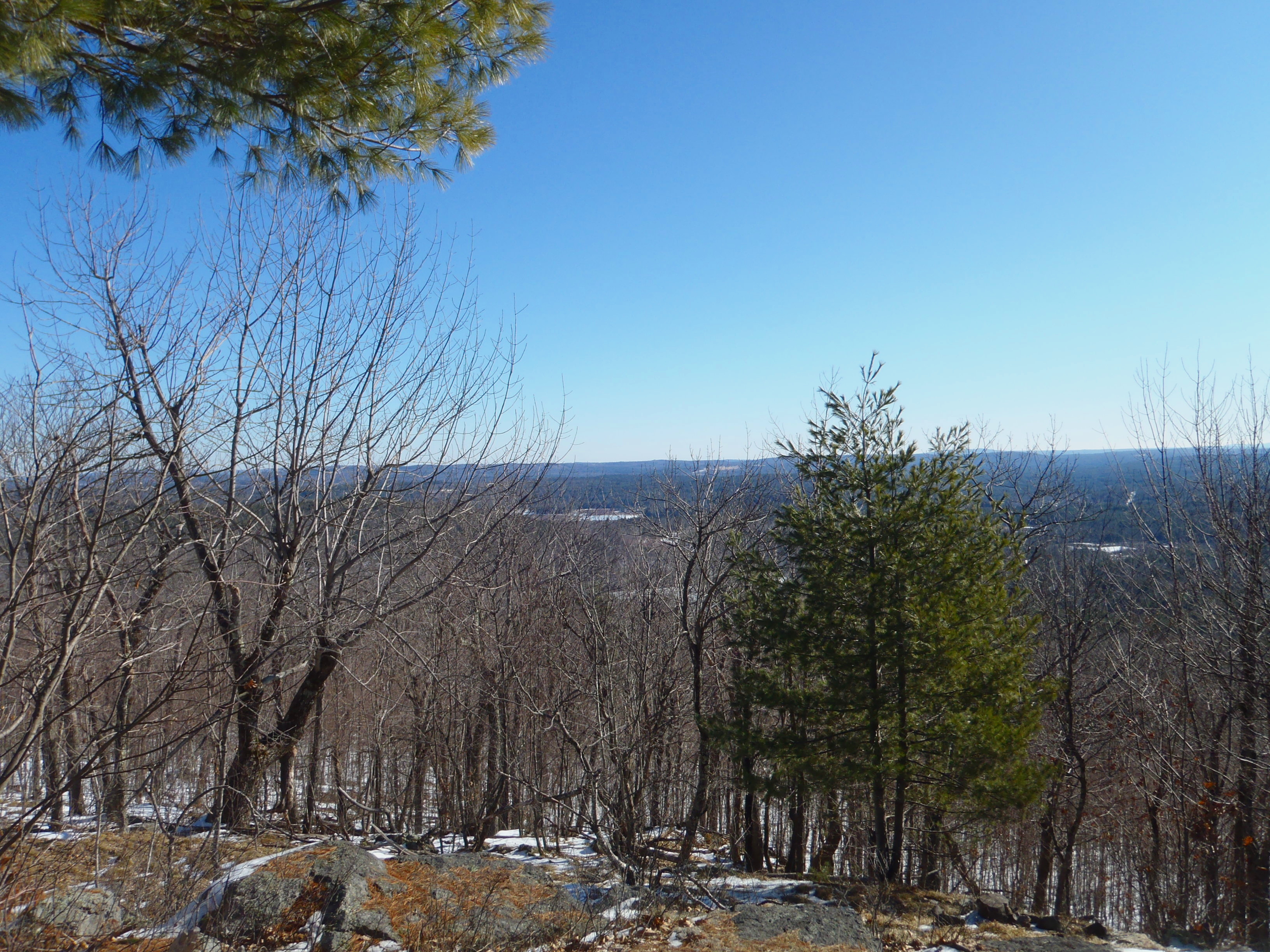
View to Beauty & Boulder ledges
Beauty Ledge view
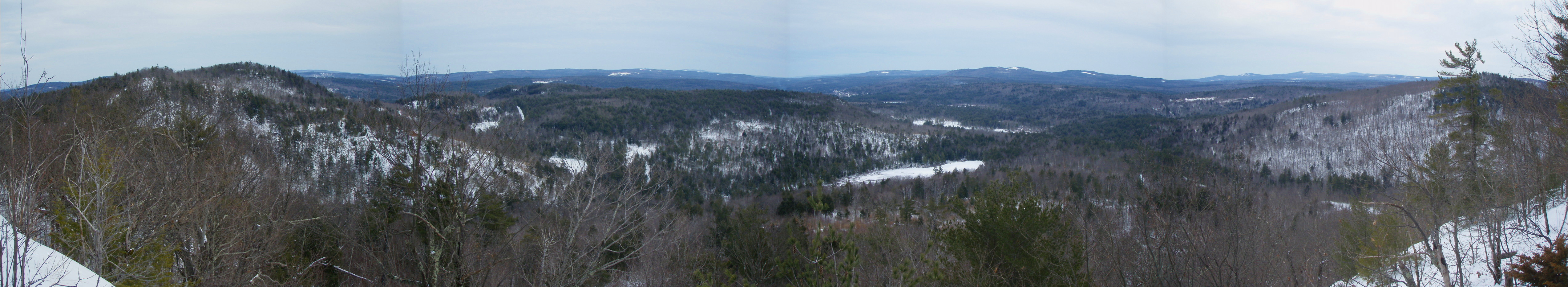
Beauty Ledge View 3-4-12 (pano)
View from Phoebe's Nable
View from Phoebe's Nable
View from Phoebes Nable Mt. summit
View up to Moose Mountains

Beauty Ledge 180* View (pano)
Another view.

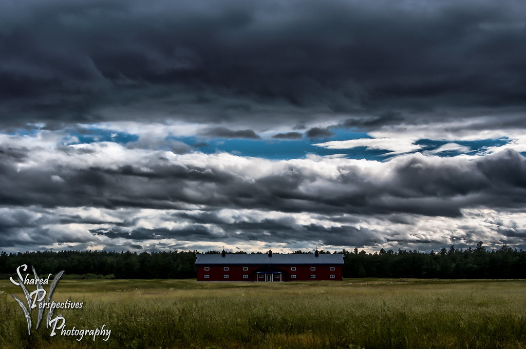
Magical Mystery Tour

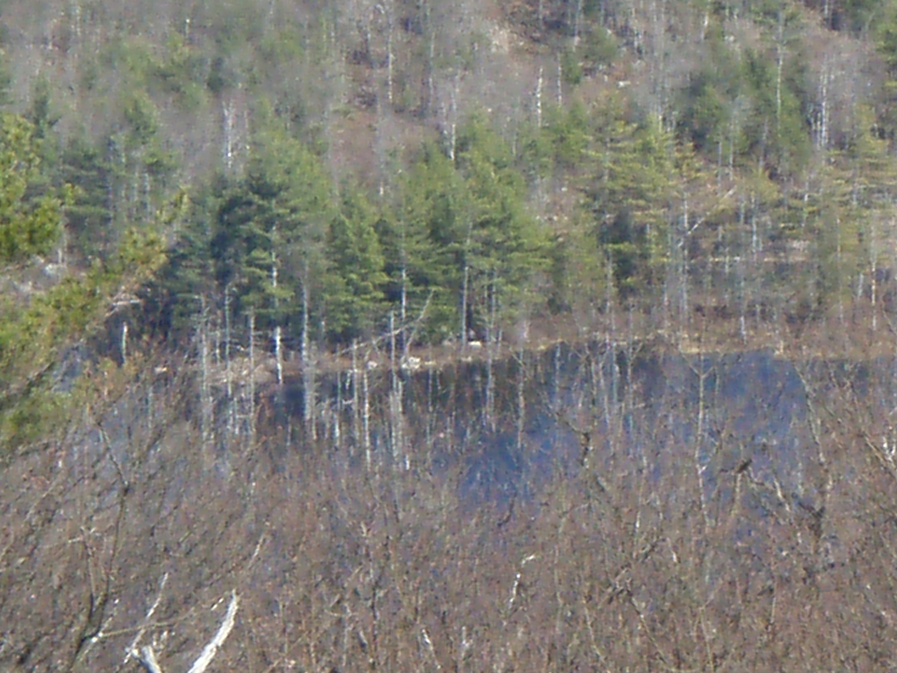
View across Bowser Pond from Beauty Ledge
Beauty Ledge view

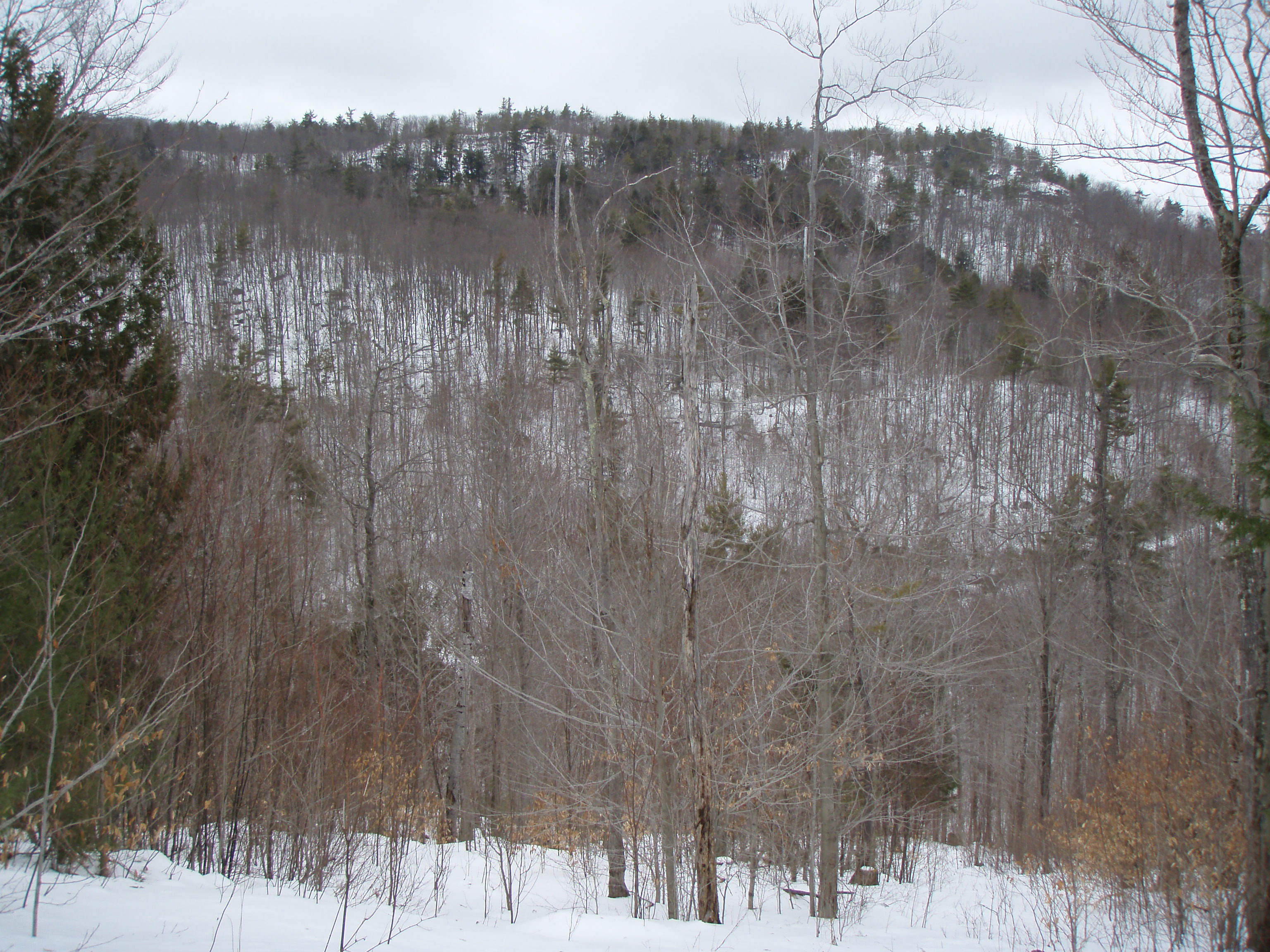
View through the trees to Moose Mountains
view across mousam
Heron Rookery as viewed from Phoebes Nable
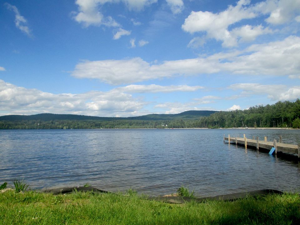
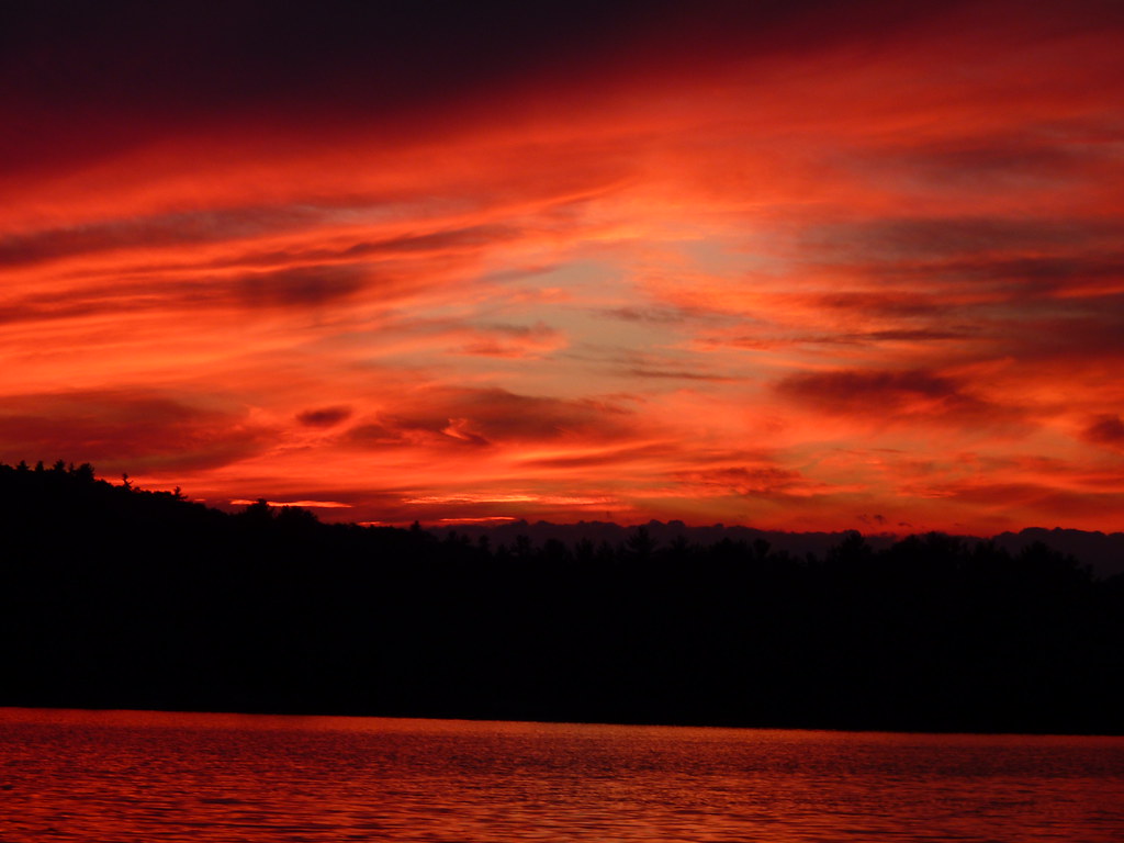
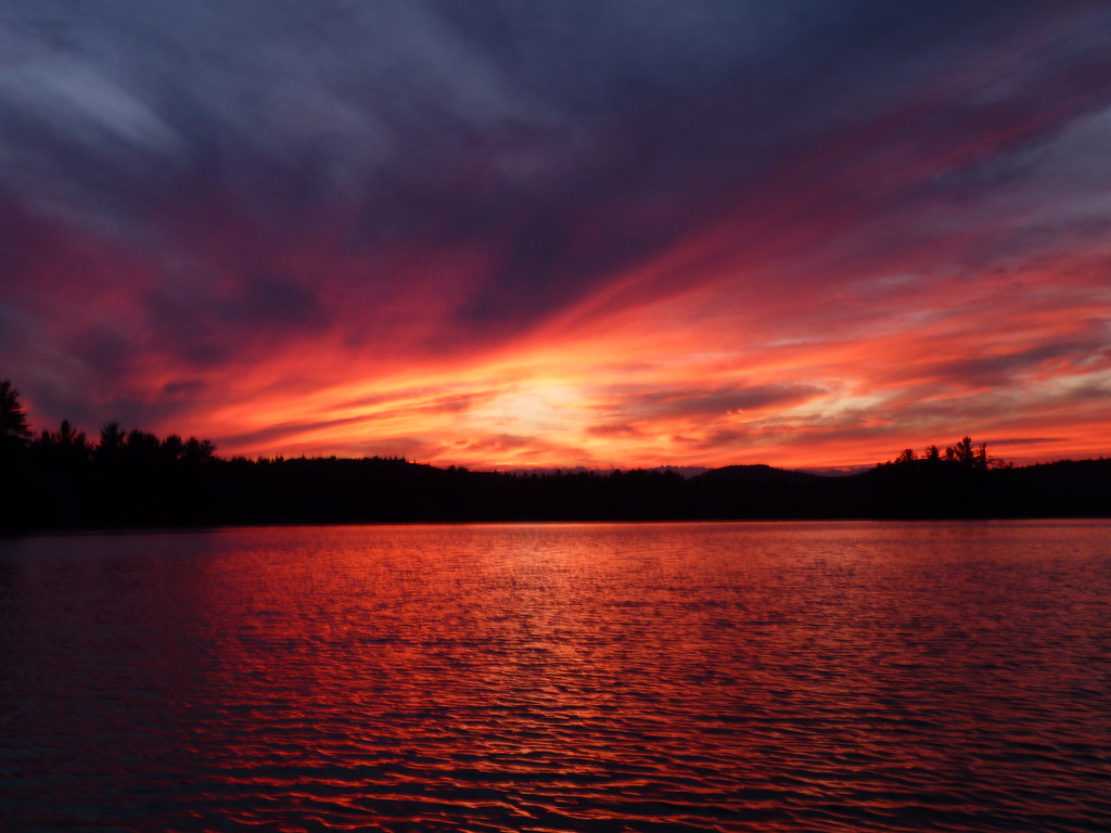
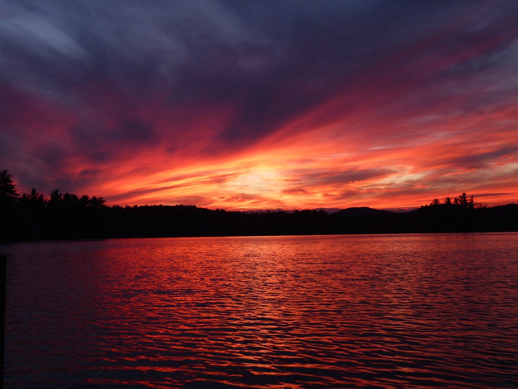
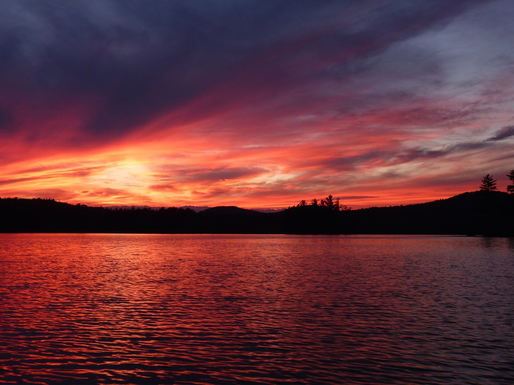
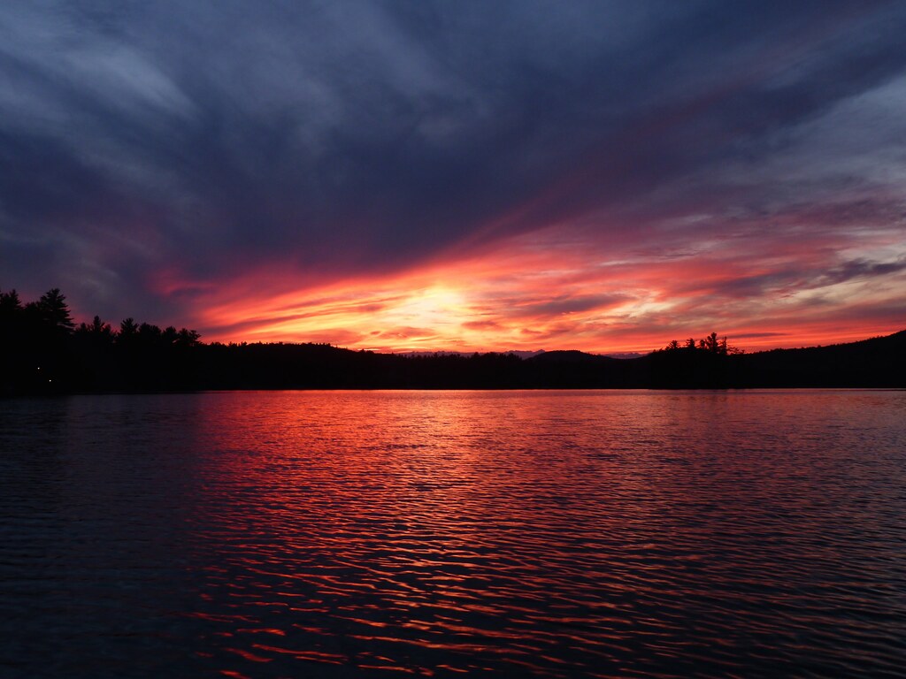
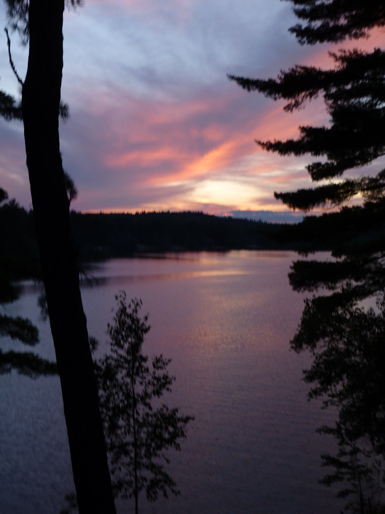
The Lake
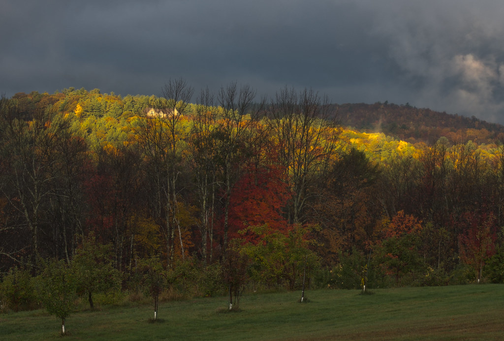
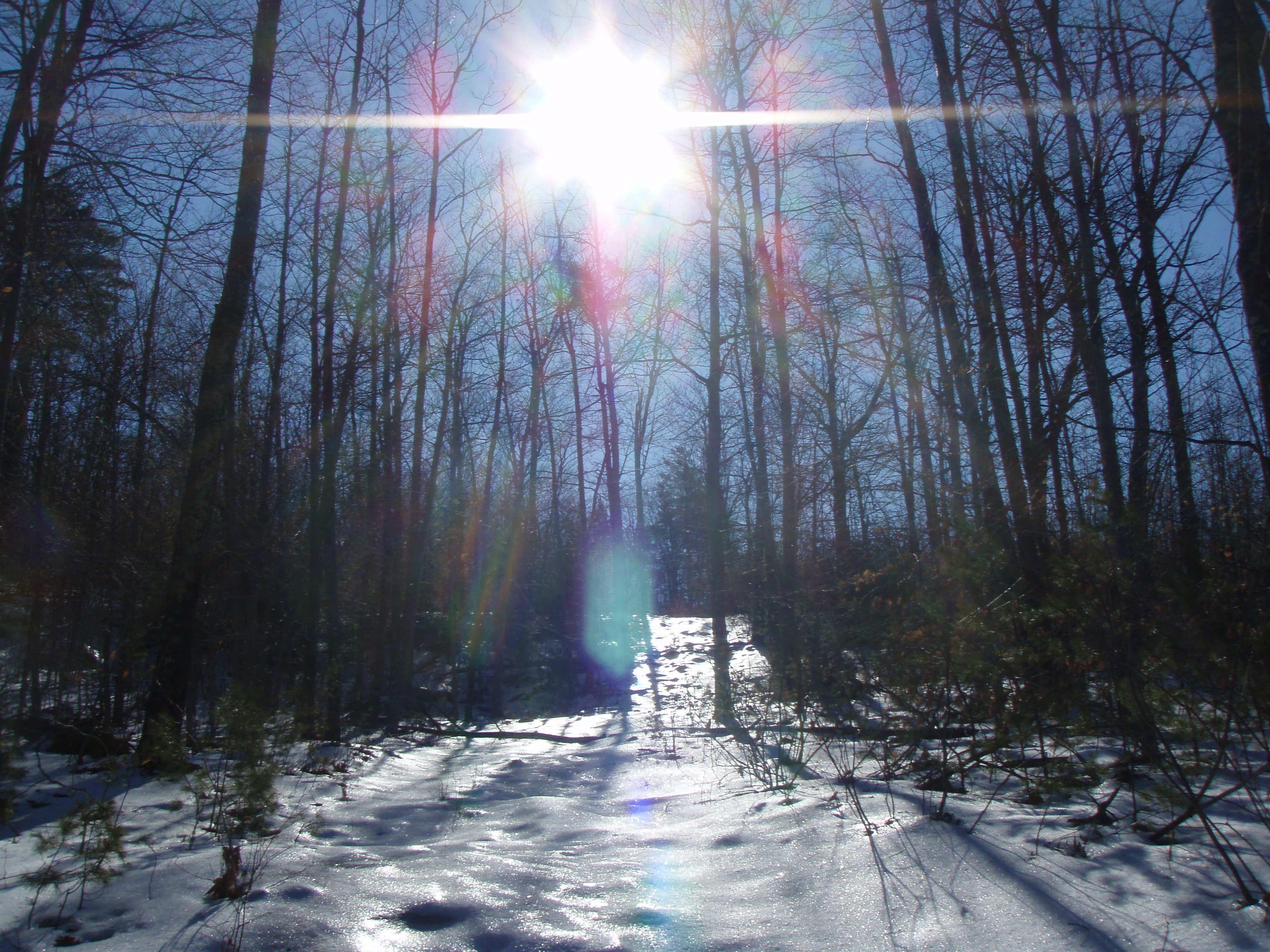
Sun on the hill
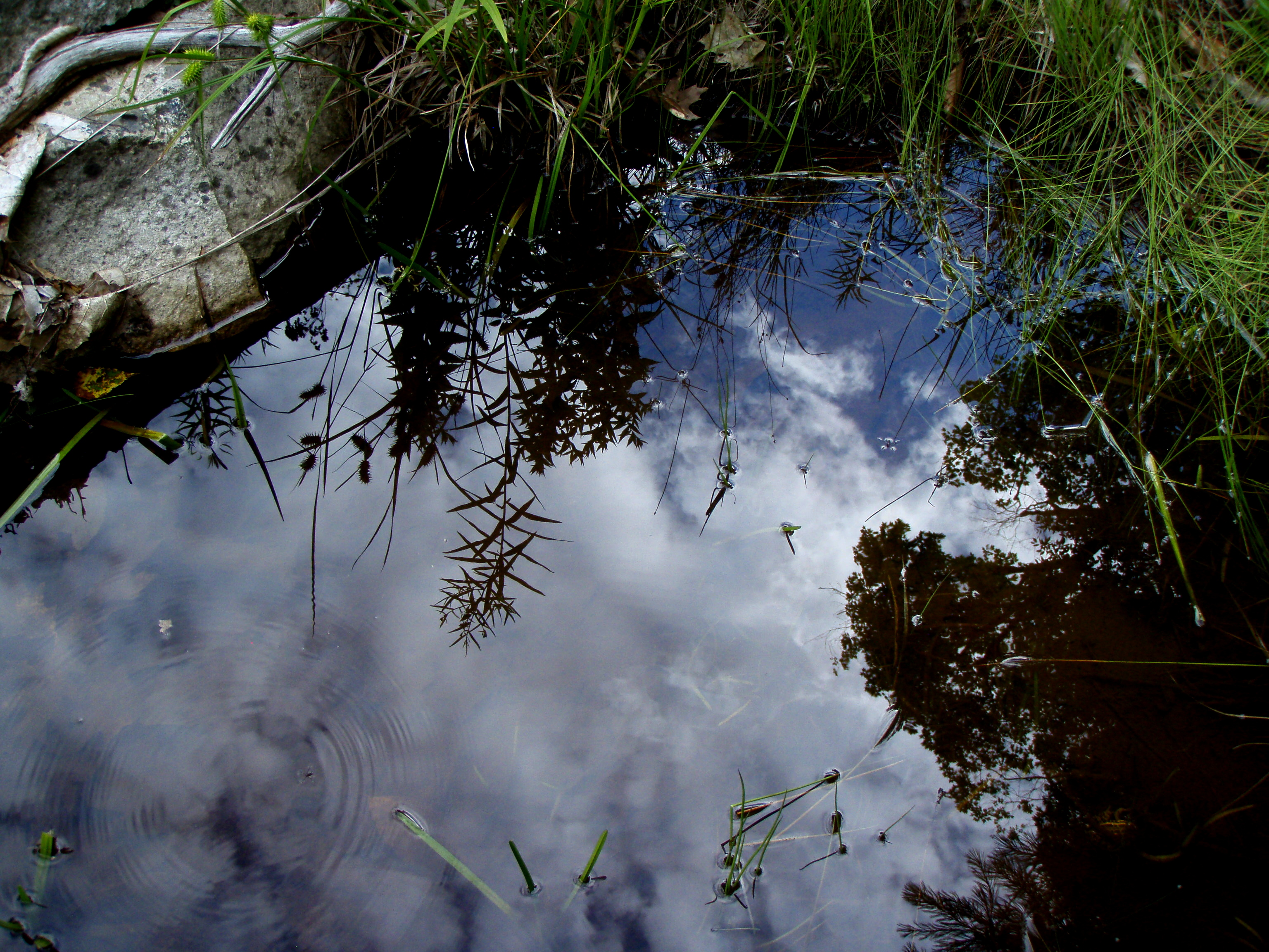
Reflection in a pool
An shiny Burrows Farm Trail
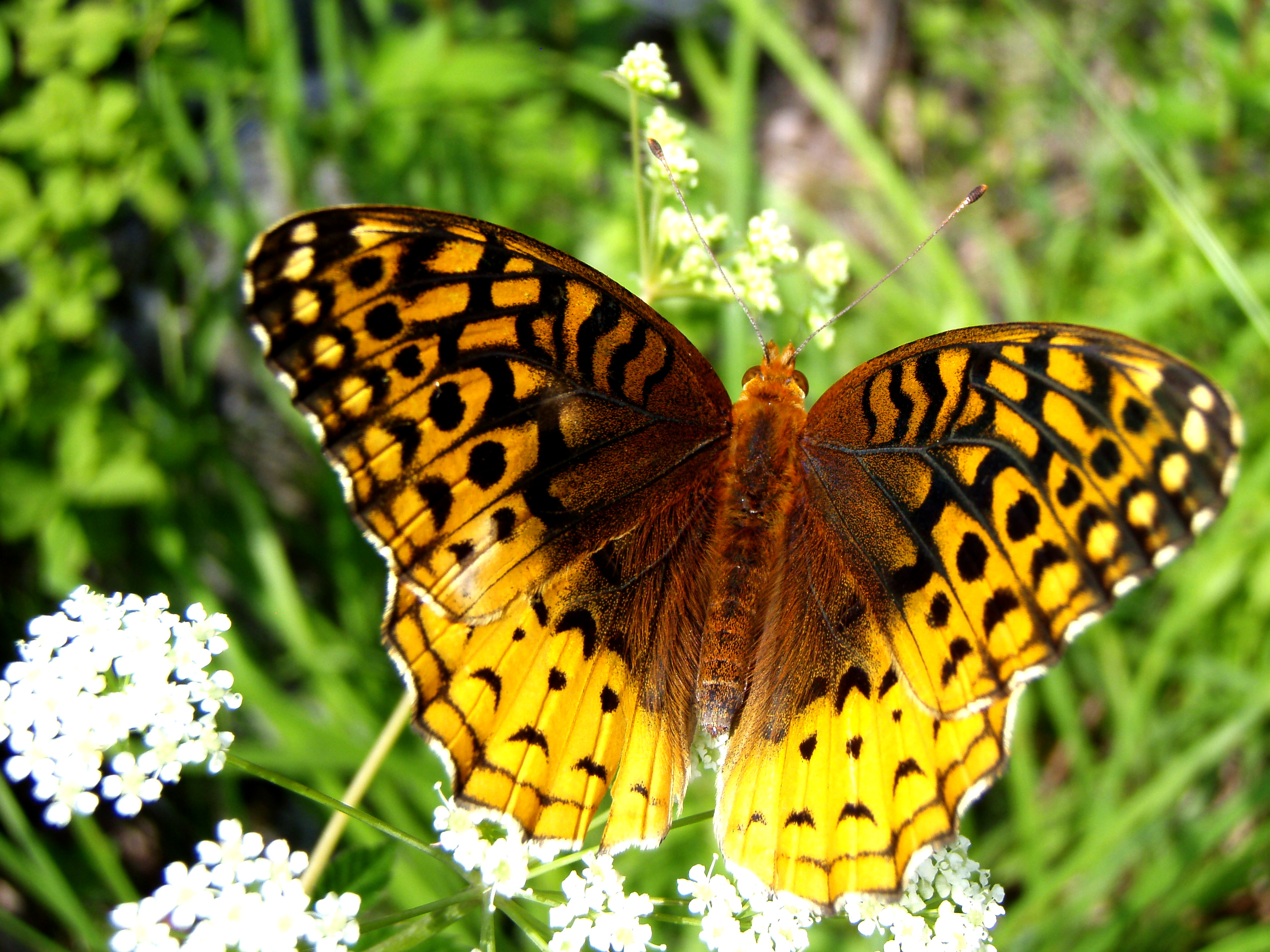
Aphrodite Fratillary
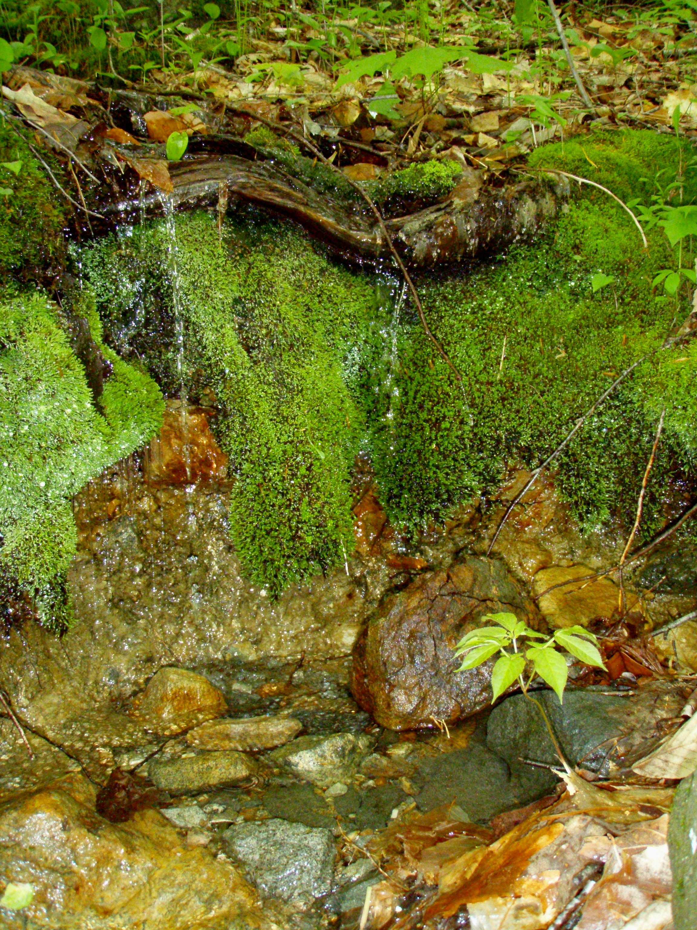
A Mossy Trickle
P1040206.JPG
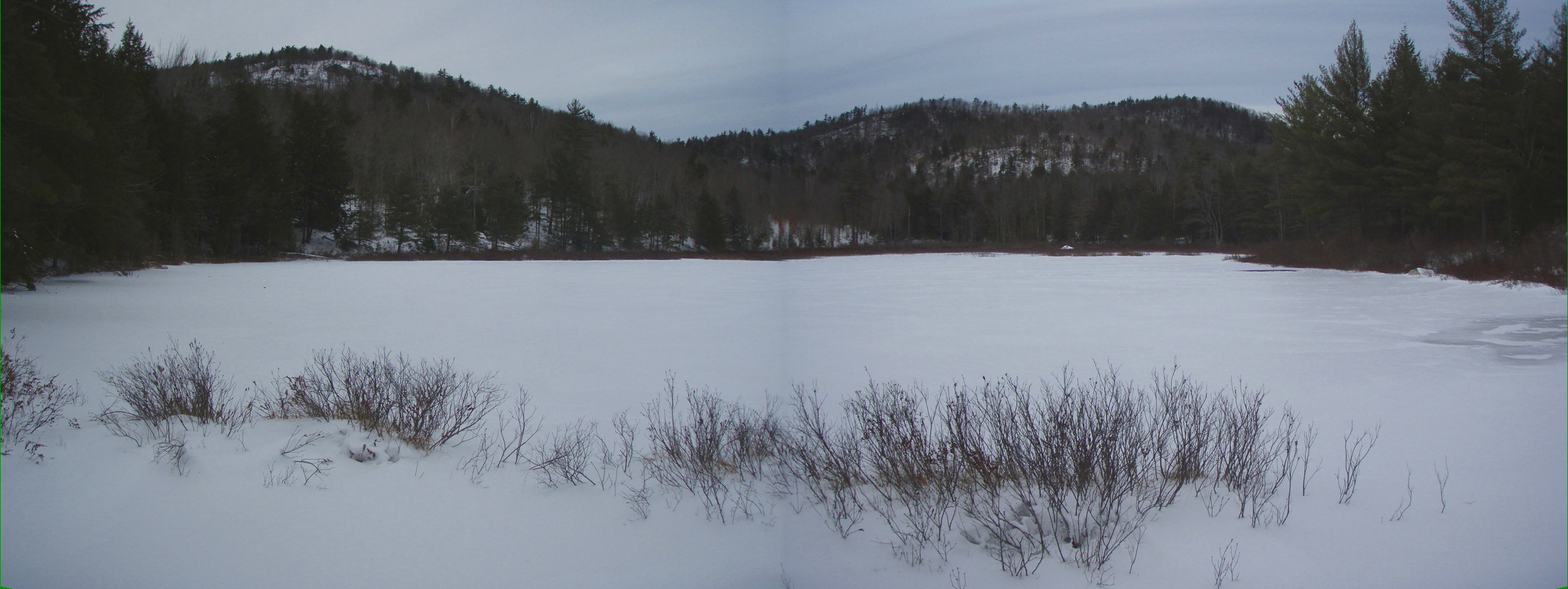
Bowser Pond 1.16.12 (pano)

P1040199.JPG
P1040200.JPG

An Icy Burrows Brook
P1040201.JPG
P1040202.JPG

Burrows Brook
P1040207.JPG

Burrows Field

An Icy Burrows Brook
P1040194.JPG
P1040161.JPG
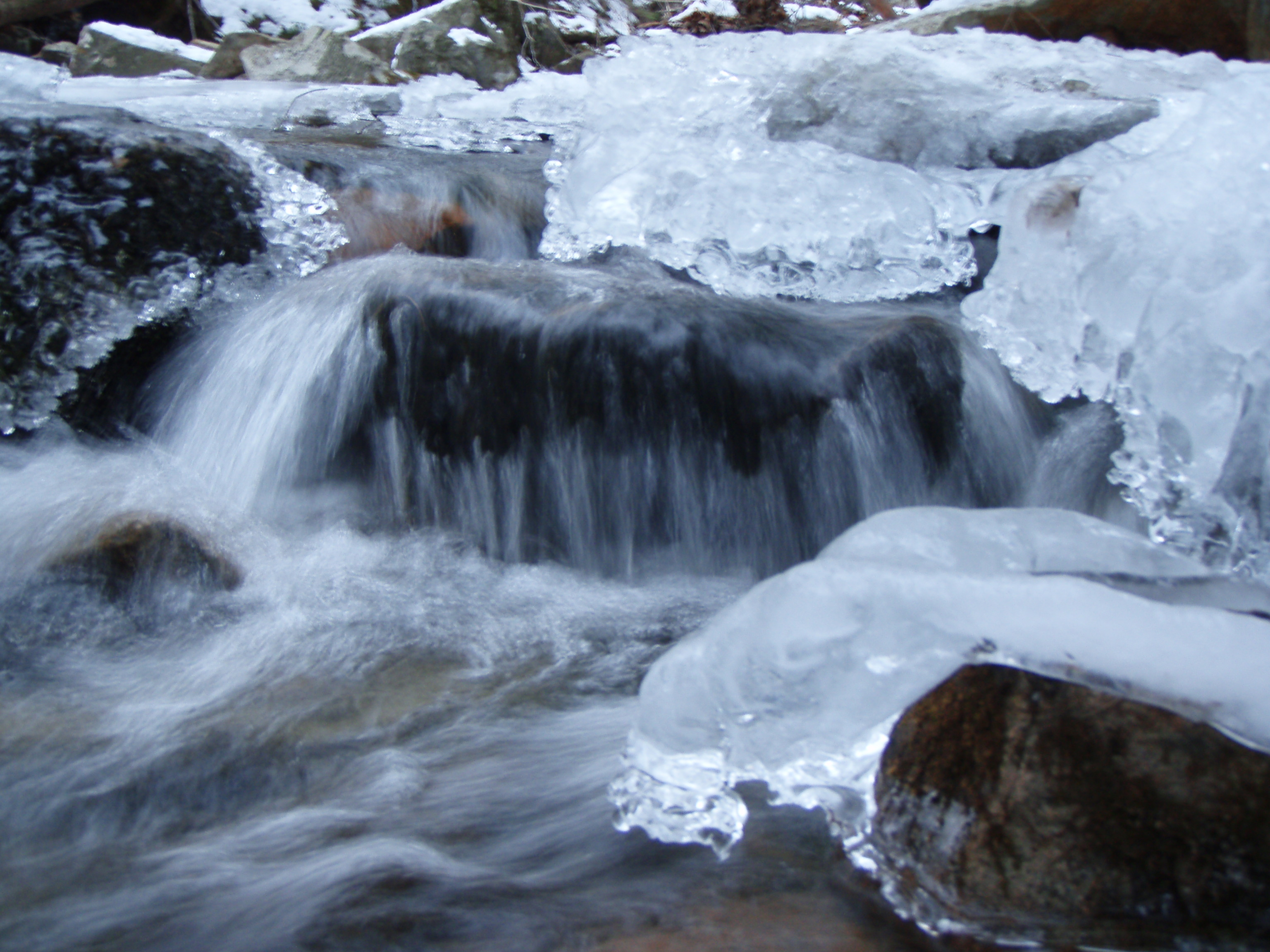
An Icy Burrows Brook
P1040203.JPG
Topographic Map of Milton Mills, Milton, NH, USA
Find elevation by address:

Places near Milton Mills, Milton, NH, USA:
7 Willey Rd
Stagecoach Road
Hopper Road
Acton
11 Industrial Way
1721 Foxes Ridge Rd
2609 Me-109
2609 Me-109
Milton Mills Road
225 Lovell Heights Rd
38 Kingsbury Dr, Milton, NH, USA
140 Pineland Park Rd
92 New Bridge Rd
Milton
Milton
174 Buzzell Rd
174 Buzzell Rd
Romac Orchards
37 Katos Nose Rd
Deering Ridge Road
Recent Searches:
- Elevation of 15th Ave SE, St. Petersburg, FL, USA
- Elevation of Beall Road, Beall Rd, Florida, USA
- Elevation of Leguwa, Nepal
- Elevation of County Rd, Enterprise, AL, USA
- Elevation of Kolchuginsky District, Vladimir Oblast, Russia
- Elevation of Shustino, Vladimir Oblast, Russia
- Elevation of Lampiasi St, Sarasota, FL, USA
- Elevation of Elwyn Dr, Roanoke Rapids, NC, USA
- Elevation of Congressional Dr, Stevensville, MD, USA
- Elevation of Bellview Rd, McLean, VA, USA