Elevation of ME-, Acton, ME, USA
Location: United States > Maine > York County > Acton >
Longitude: -70.938350
Latitude: 43.5505604
Elevation: 182m / 597feet
Barometric Pressure: 99KPa
Elevation Map:
Satellite Map:
Related Photos:

"Clearing Skies"

Where Clouds and Snow Meet b&w

Sepia Cliff top

Rainy Day

View from upper landing on North Trail

A new day

Beauty Ledge View 3-4-12 (pano)

Another view.

View from Phoebes Nable Mt. summit

Beauty Ledge 180* View (pano)

View up to Moose Mountains

View from Phoebe's Nable

Sharing the day and the view with our good friend Donna ;-), Mousavi Lake in Shapleigh

View across Bowser Pond from Beauty Ledge
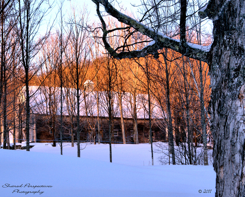
Beyond the Maple Trees
Sun kissed trees

View through the trees to Moose Mountains

♥ ♥ ♥

View South from Beauty Ledge

Mushroom (top view)

Union Station

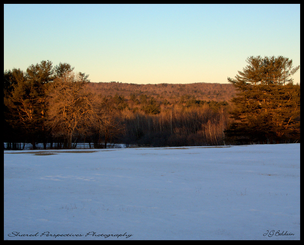
Sun on the hill

Lovell Lake in Sanbornville

Hanson Brook, Brookfield, New Hampshire

Reflection in a pool
Take a photo, it lasts longer

The Circle of Life

An shiny Burrows Farm Trail

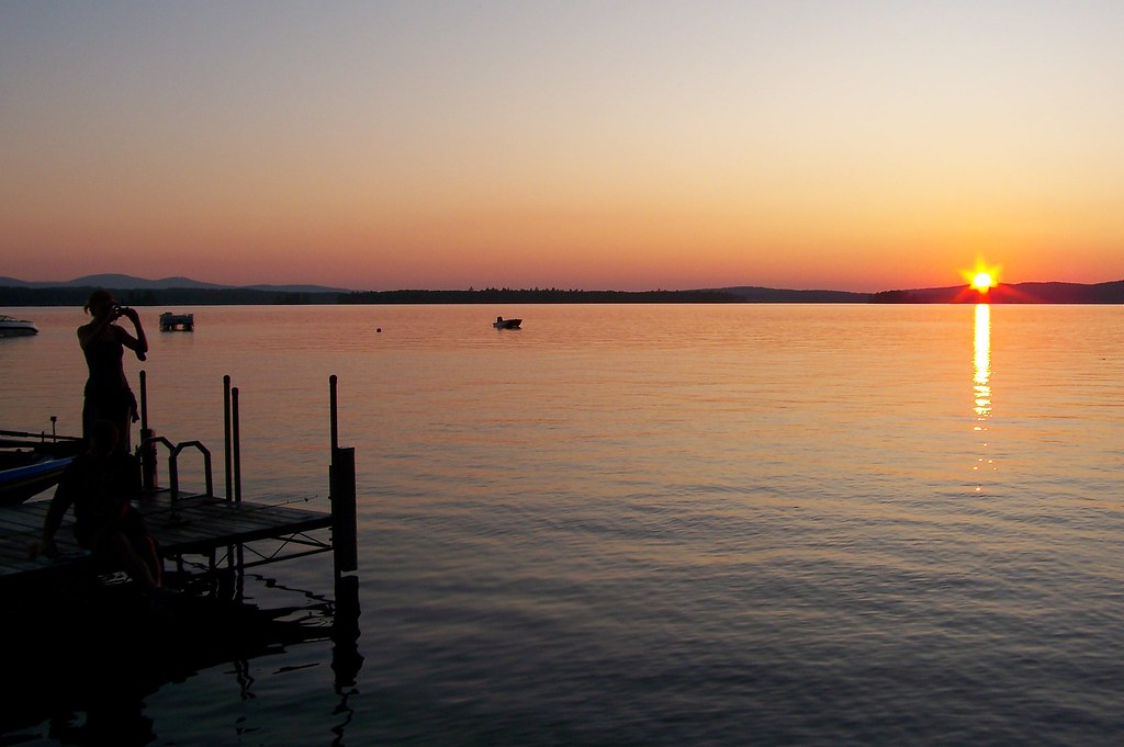
The Lake

Stars over Stump Pond

Spring's Rage

Burrows Brook

A Mossy Trickle

Burrows Field

An Icy Burrows Brook

An Icy Burrows Brook

An Icy Burrows Brook

Foliage along Burrows Farm trail

Beauty Knob
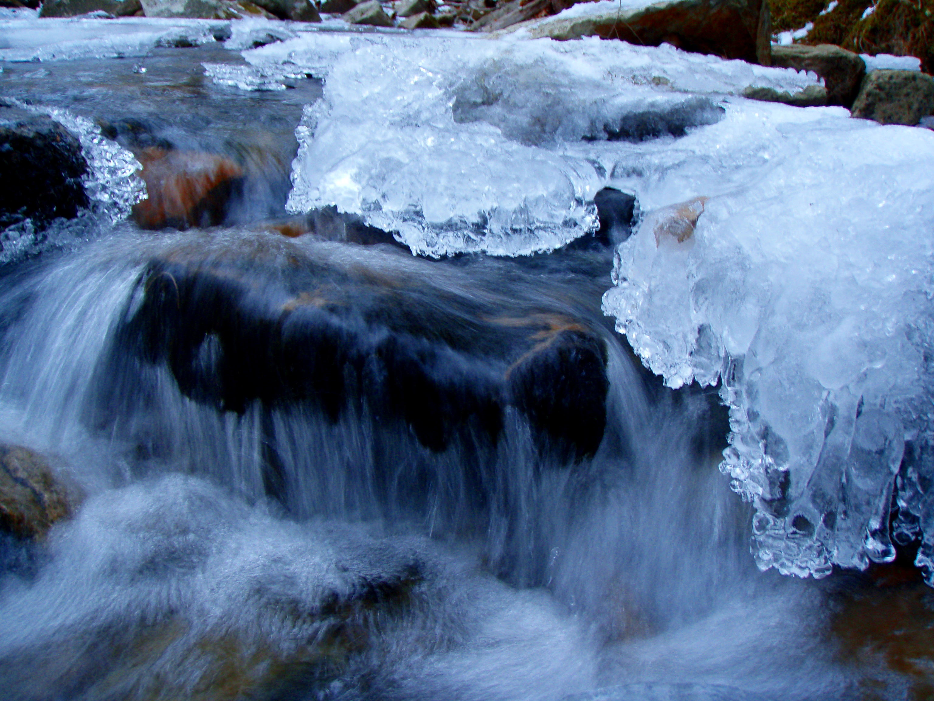
An Icy Burrows Brook
Topographic Map of ME-, Acton, ME, USA
Find elevation by address:

Places near ME-, Acton, ME, USA:
2609 Me-109
Hopper Road
174 Buzzell Rd
174 Buzzell Rd
Romac Orchards
Acton
Stagecoach Road
Milton Mills
7 Willey Rd
Milton Mills Road
225 Lovell Heights Rd
37 Katos Nose Rd
1721 Foxes Ridge Rd
Shapleigh
35 Norton Ridge Rd
344 Owls Nest Rd
11 Industrial Way
337 Simon Ricker Rd
201 Emery Mills Rd
Deering Ridge Road
Recent Searches:
- Elevation of Orchard Road, Orchard Rd, Marlborough, NY, USA
- Elevation of 12 Hutchinson Woods Dr, Fletcher, NC, USA
- Elevation of Holloway Ave, San Francisco, CA, USA
- Elevation of Norfolk, NY, USA
- Elevation of - San Marcos Pass Rd, Santa Barbara, CA, USA
- Elevation of th Pl SE, Issaquah, WA, USA
- Elevation of 82- D Rd, Captain Cook, HI, USA
- Elevation of Harlow CM20 2PR, UK
- Elevation of Shenyang Agricultural University, Dong Ling Lu, Shen He Qu, Shen Yang Shi, Liao Ning Sheng, China
- Elevation of Alpha Dr, Melbourne, FL, USA