Elevation of Mill Park Dr, Bridgeville, DE, USA
Location: United States > Delaware > Sussex County > Bridgeville >
Longitude: -75.551522
Latitude: 38.690194
Elevation: 8m / 26feet
Barometric Pressure: 101KPa
Elevation Map:
Satellite Map:
Related Photos:
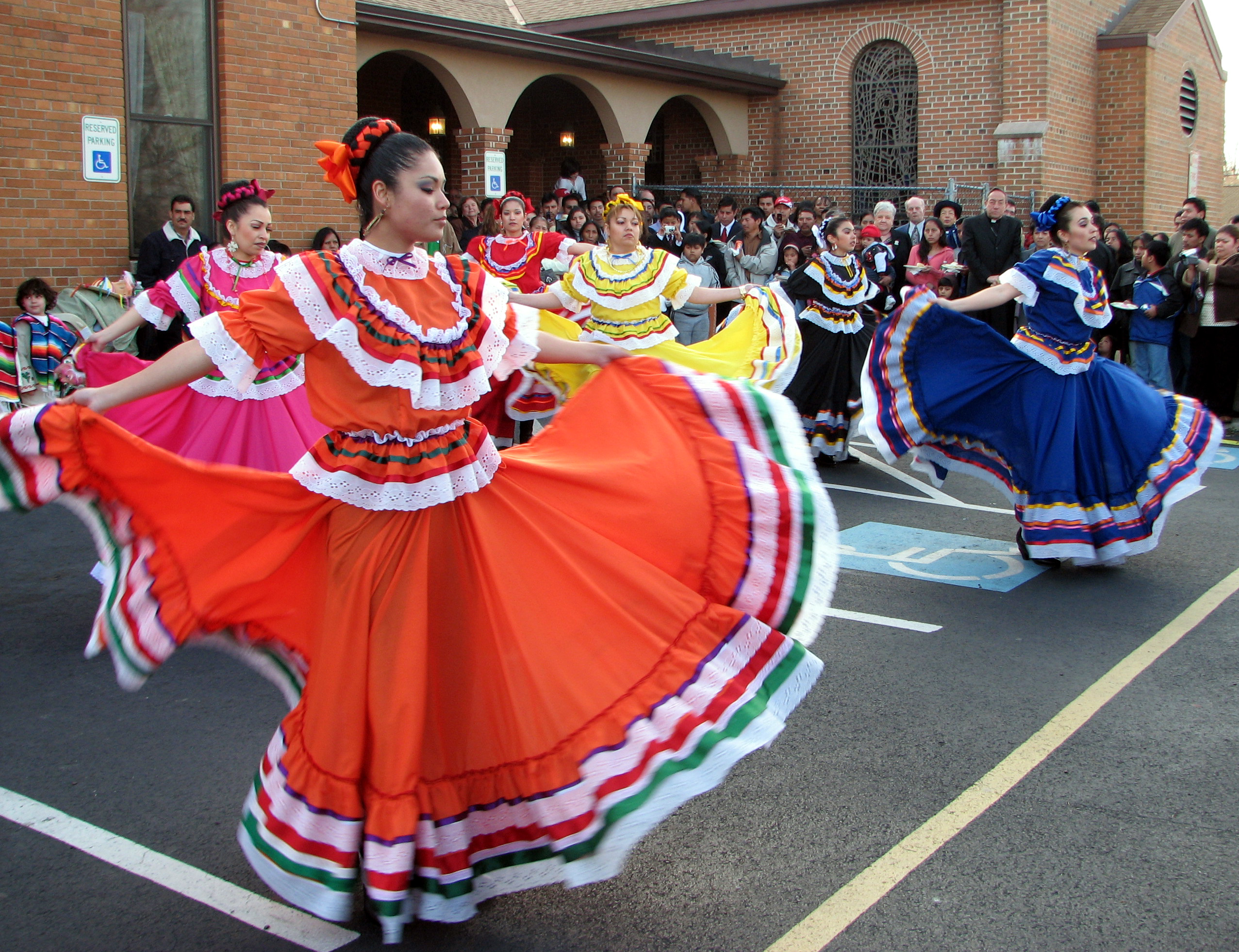
Mexican Folk Dancers

Courthouse, Georgetown, Delaware
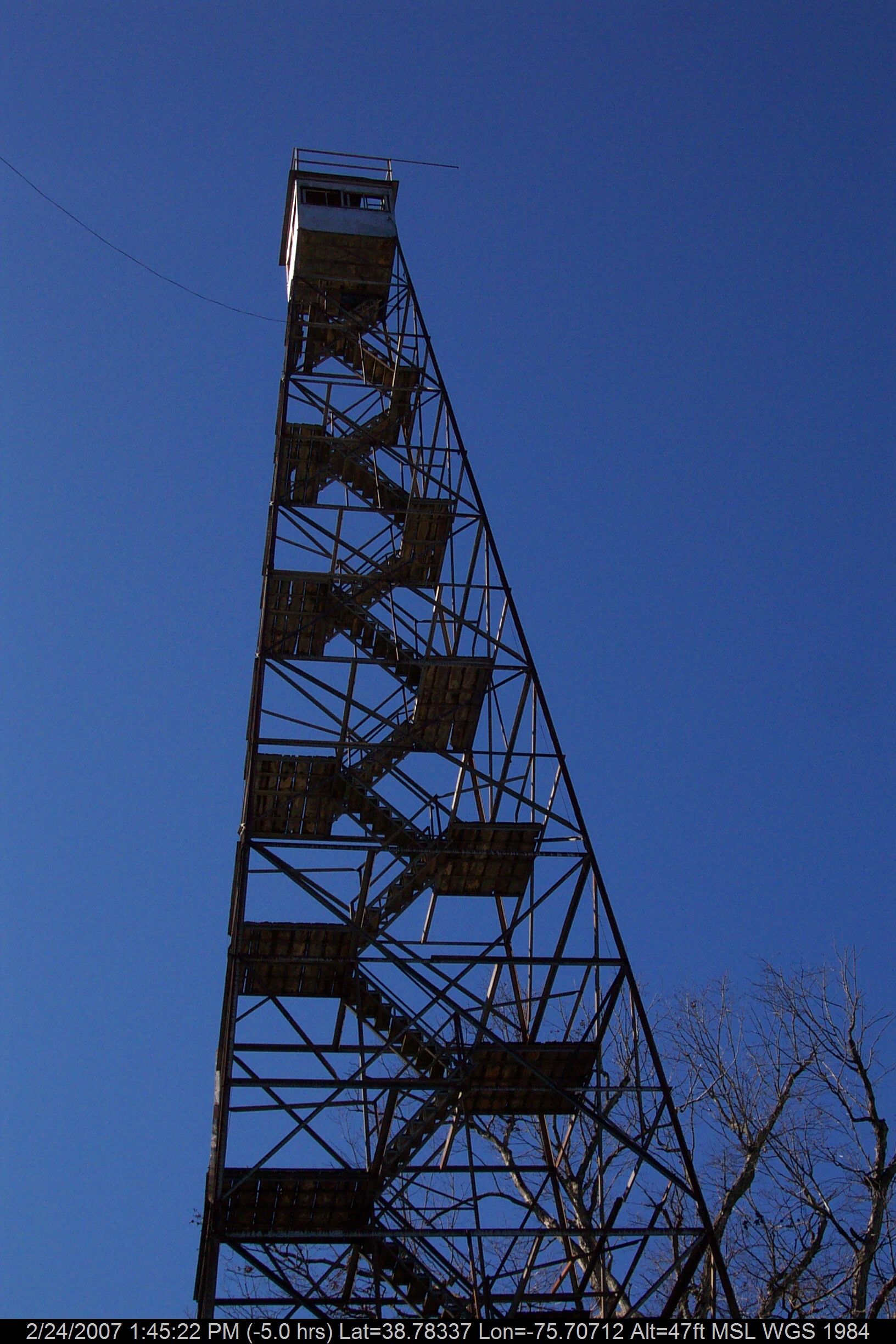
Stateline Marker Old Firetower
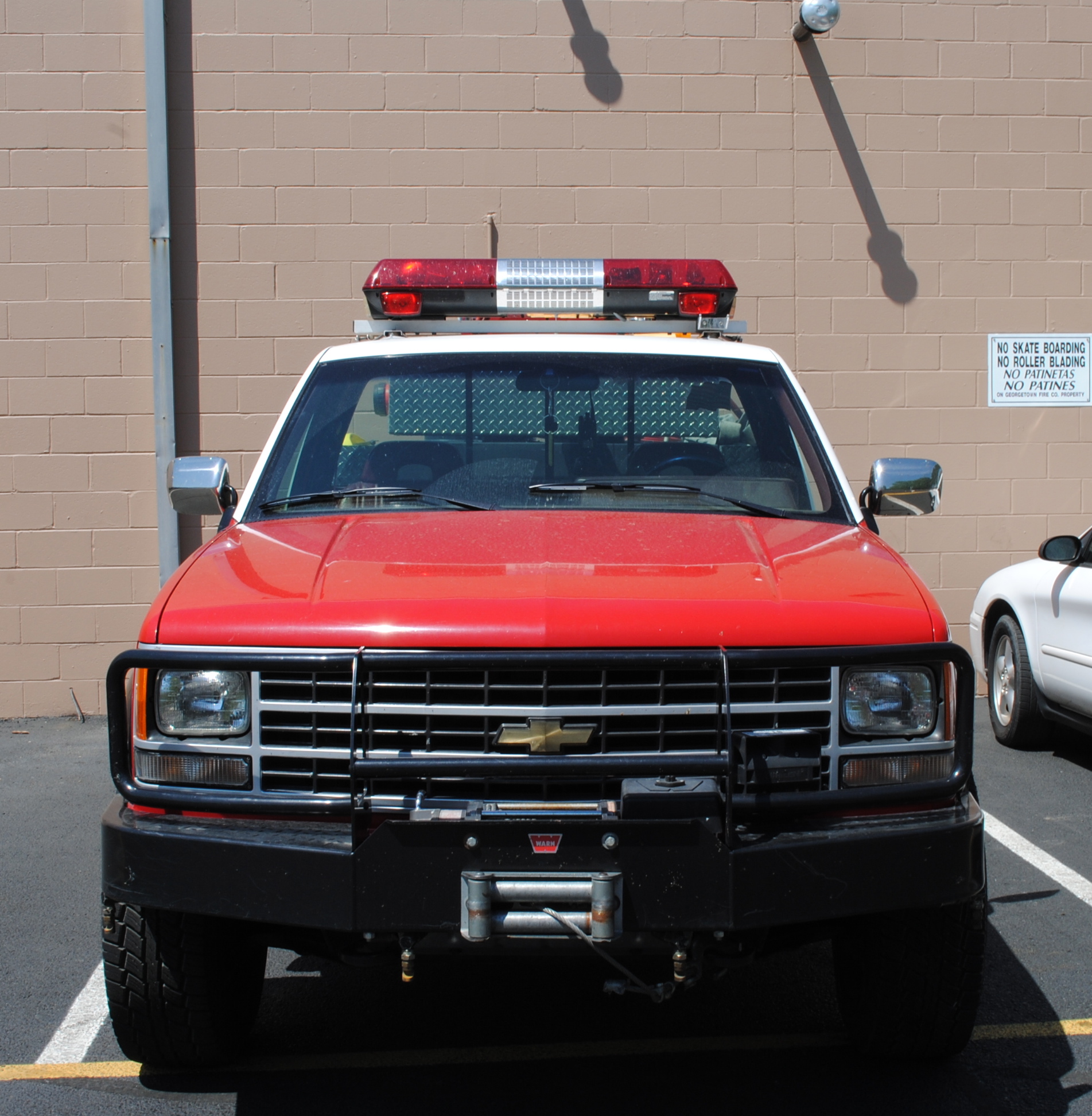
Georgetown Fire Co., Station 77

Abandoned Diner in Delaware along US-13

Abandoned DE Diner- rear view
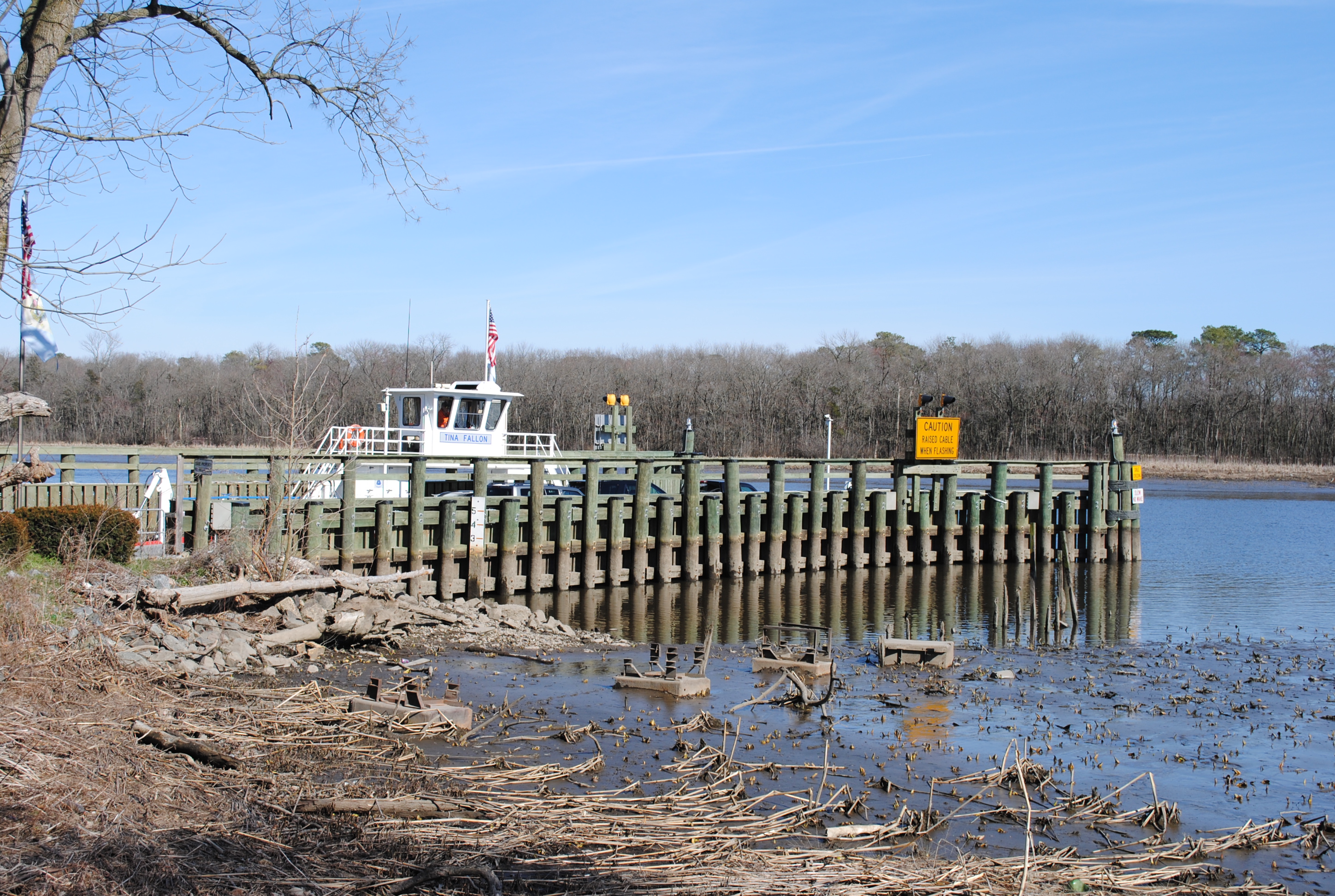
Woodland Ferry
No Umbrella Needed, No Cache No More
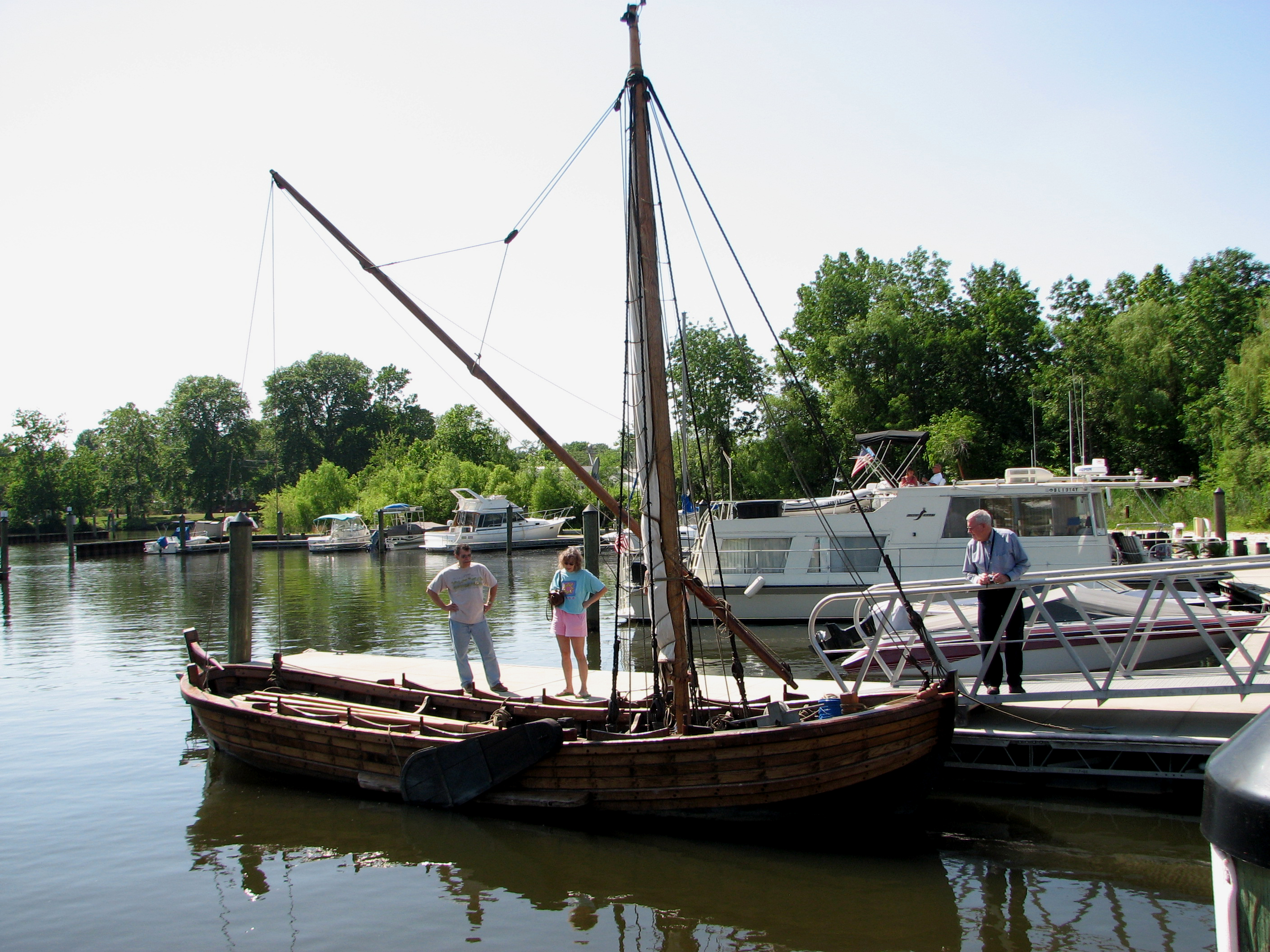
Replica of Captain John Smith's shallop

Dance of the Old Men

Playground...You Know, for Kids!
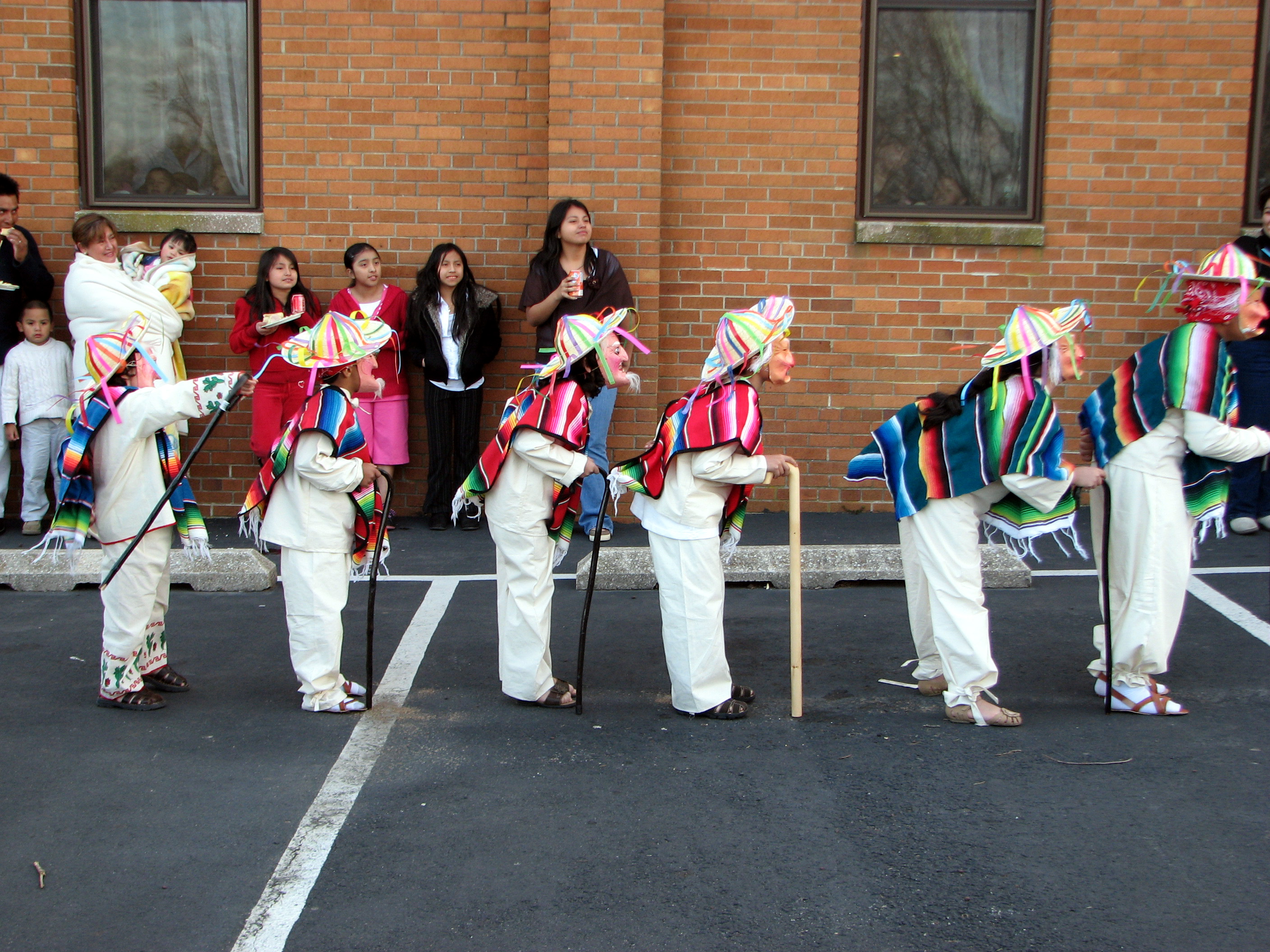
Dance of the Old Men

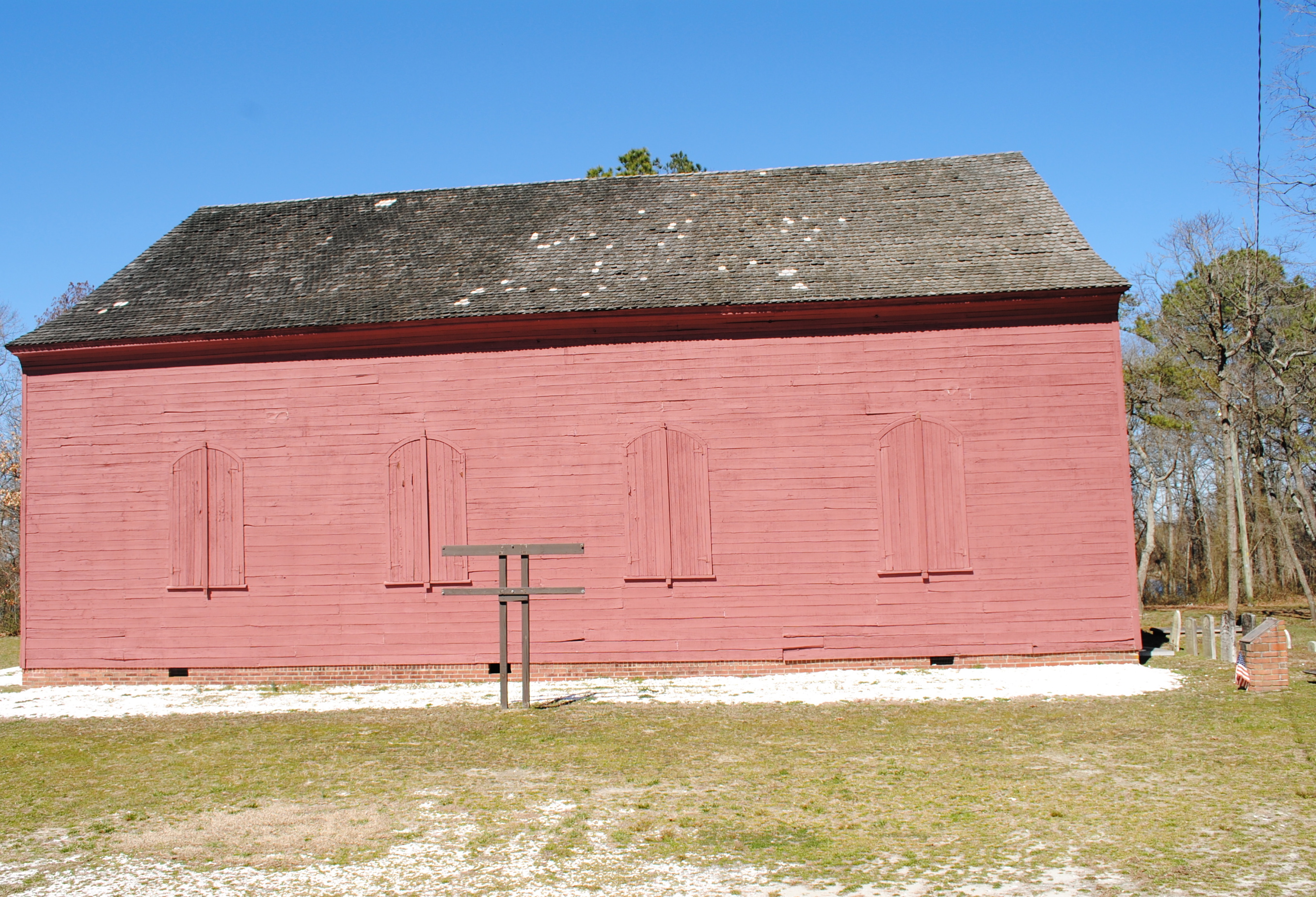
Historic Marker at Broadcreek Hundred
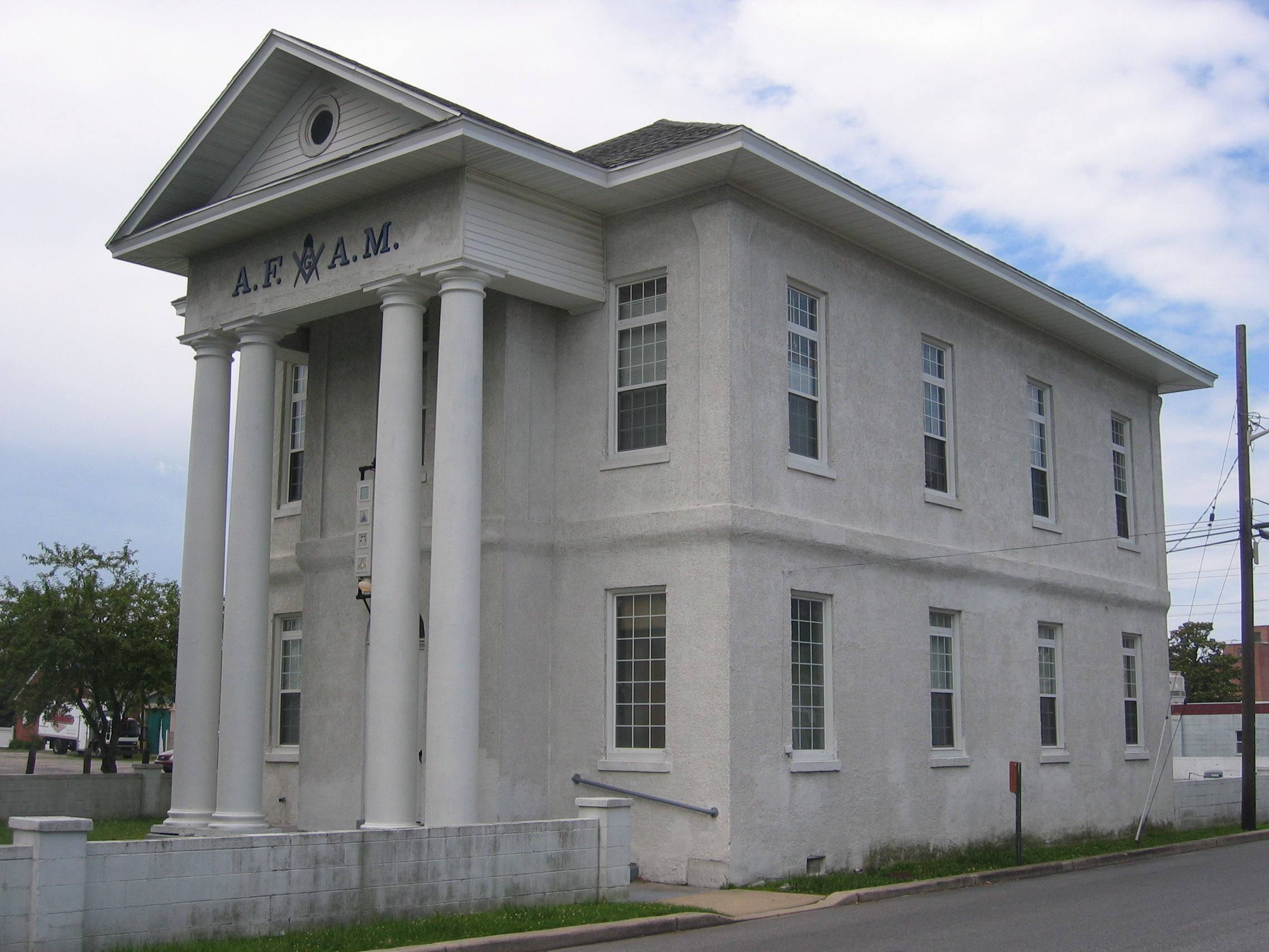
Front view, "Academy and Masonic Hall"
Old Christ Church - Laurel, Delaware
Our backyard-- worm's eye view
Side View of Pet Emporium

Woodland Ferry
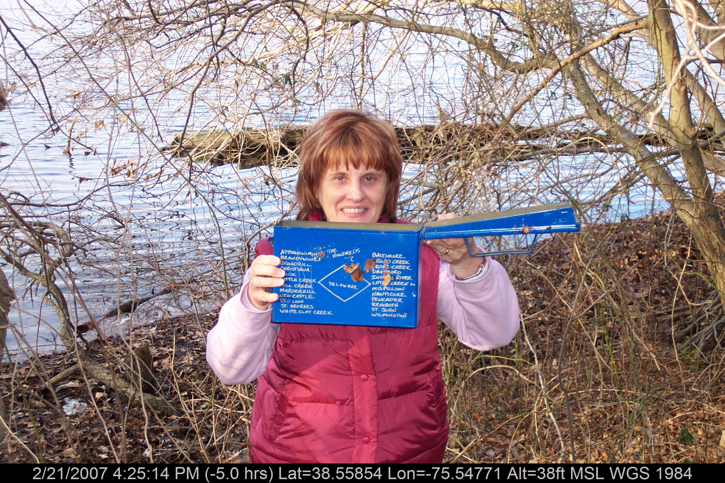
Mrs P64 with Broadcreek Hundred Cache
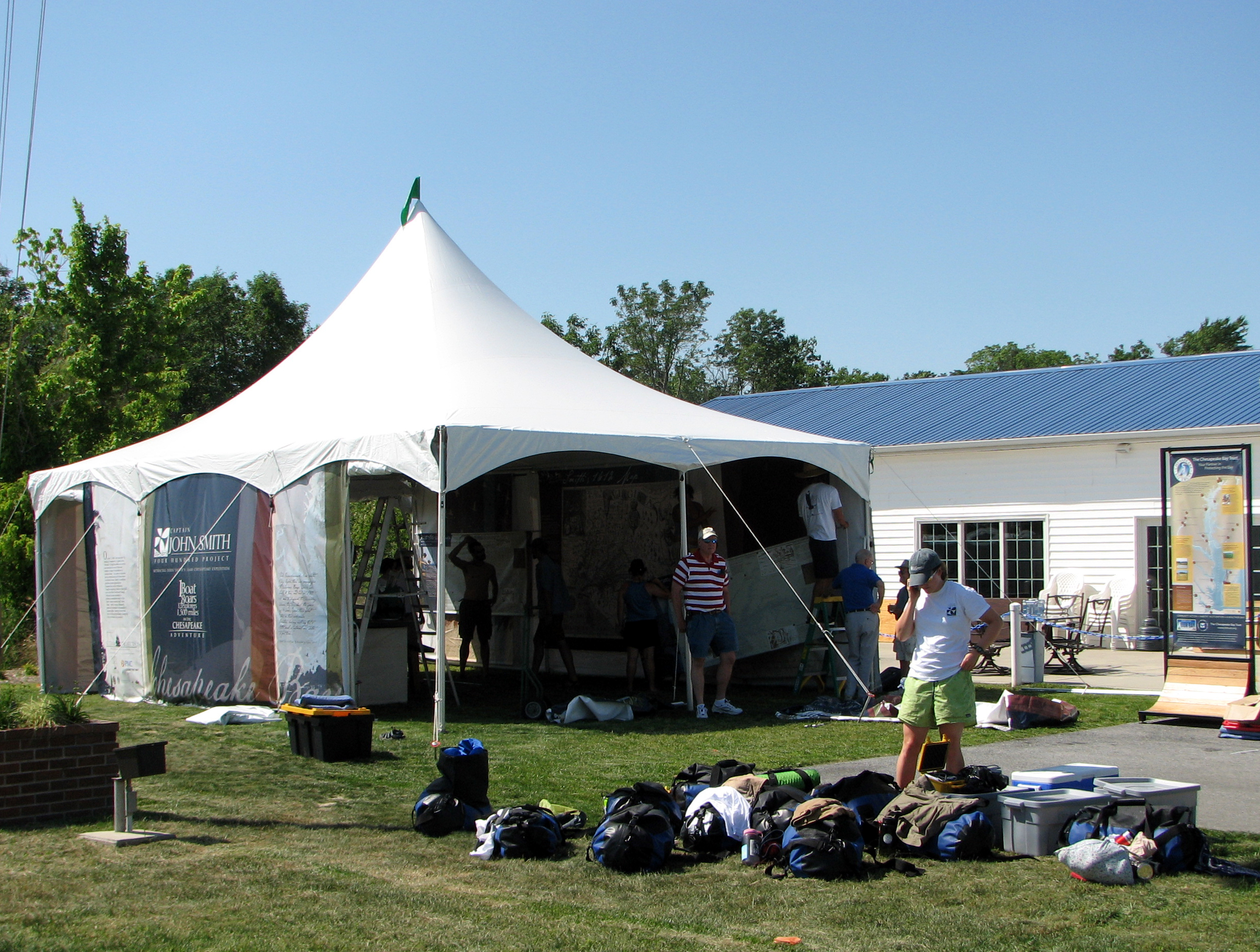
Captain John Smith's Replica Crew

dinobalz New Nike Hat
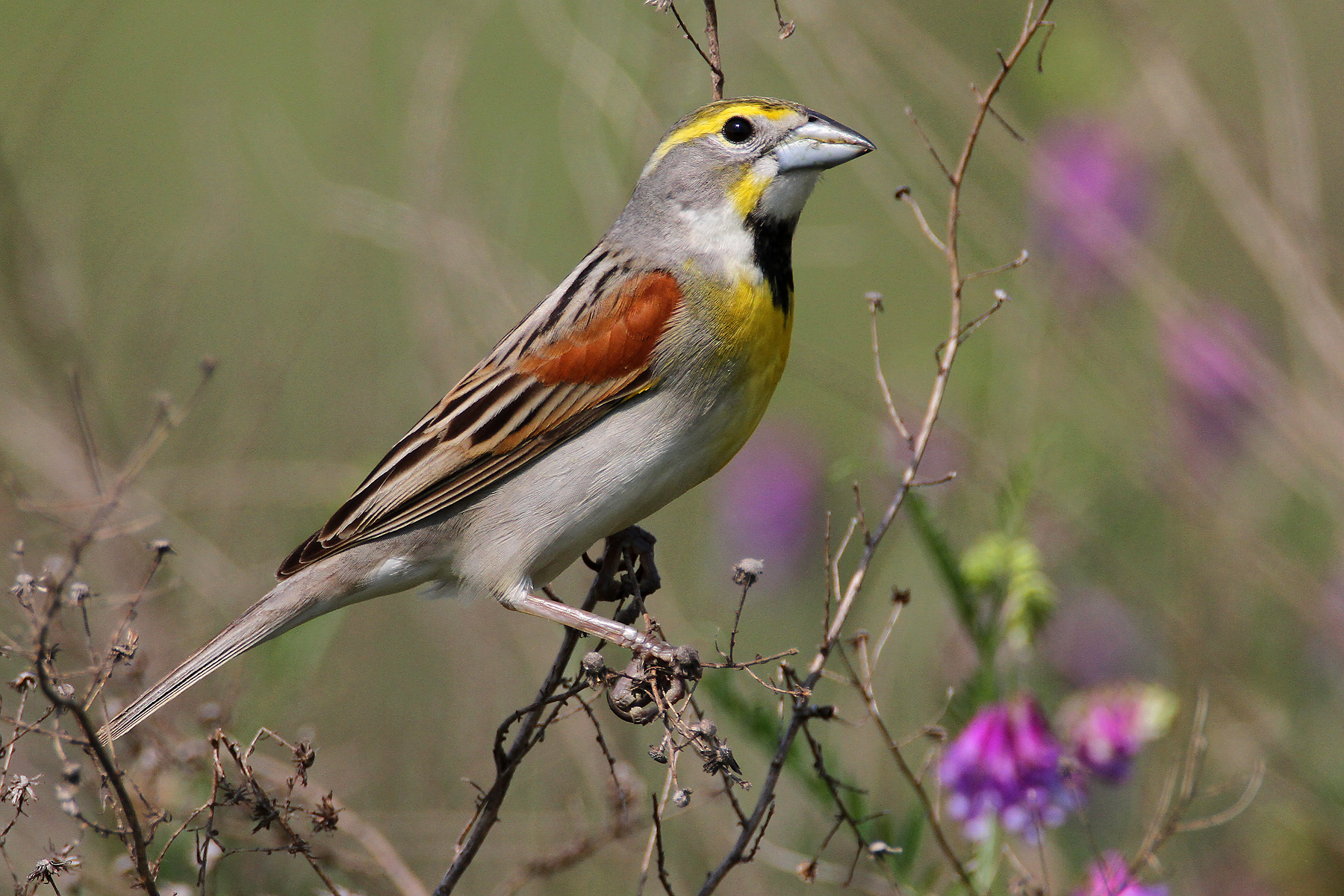
IMG_0782 Dickcissel

D43A70AD-CA86-4B23-9133-9635F9C042F3
Royal Farms Field

Soda Can Baseball: Round 2

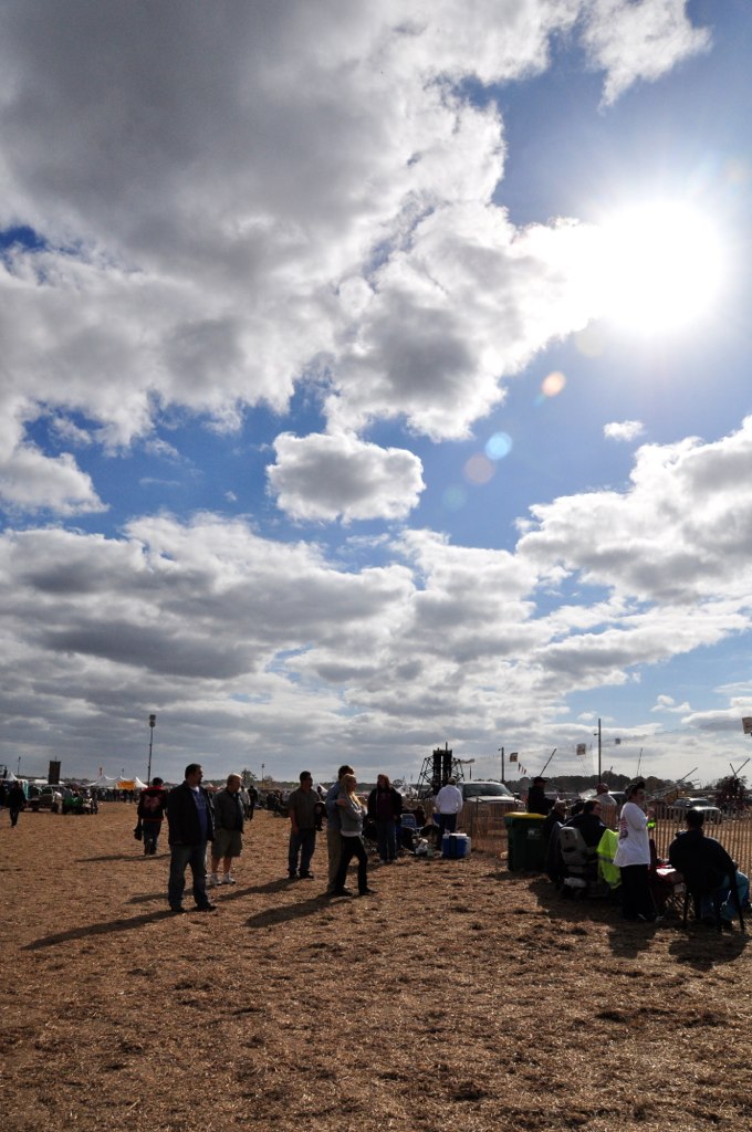
Backlit Clouds
#laurel#delaware #clouds

Ornate headstone
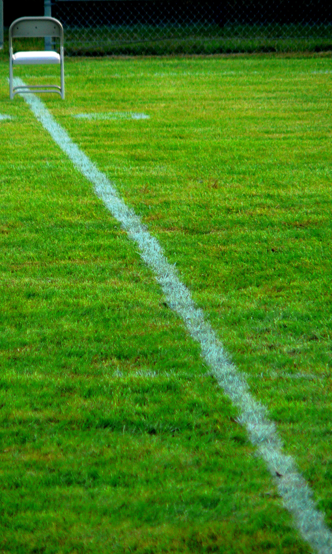
A Seat On The 50

Abandoned 2

Fields, Bridgeville, Delaware
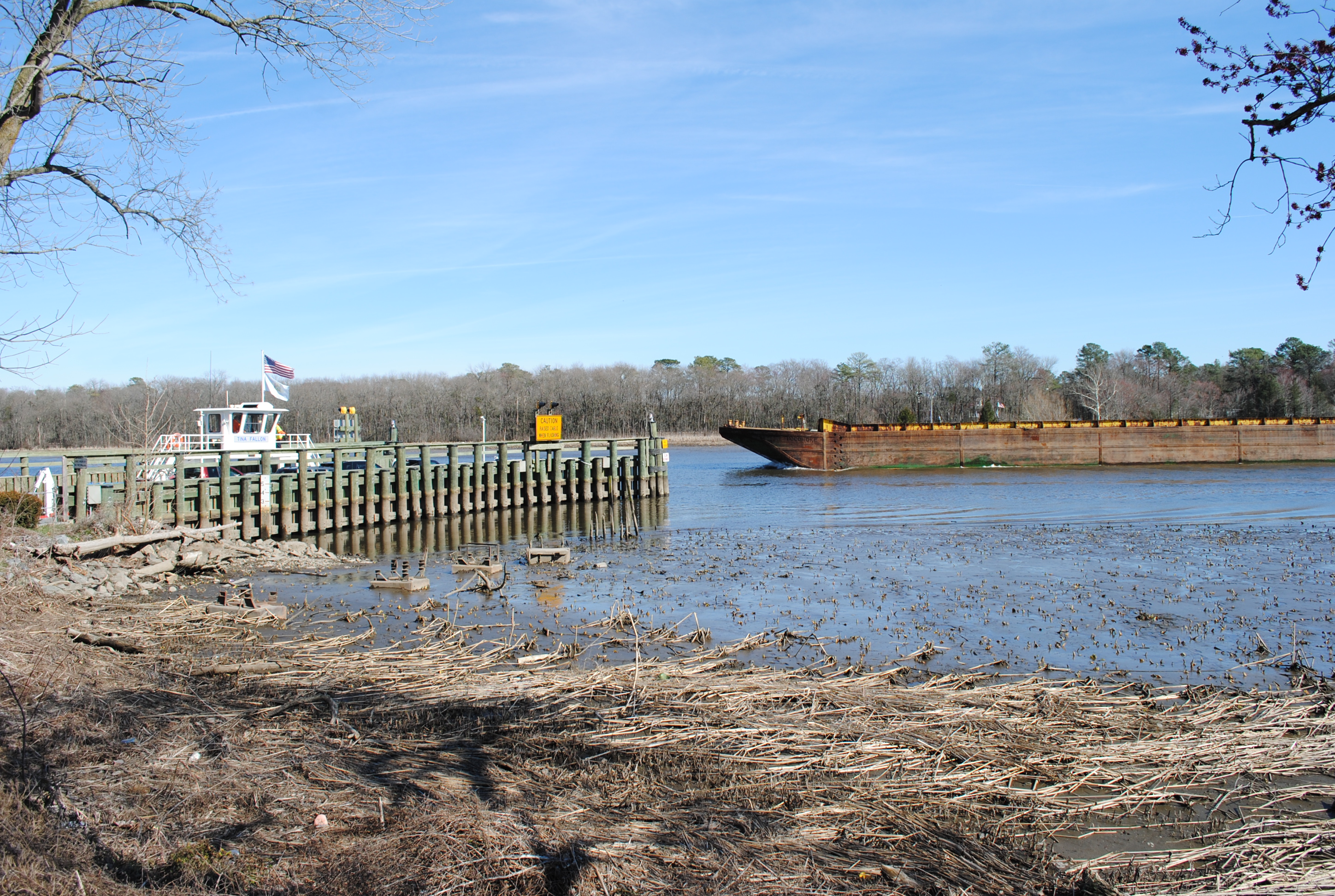
Woodland Ferry
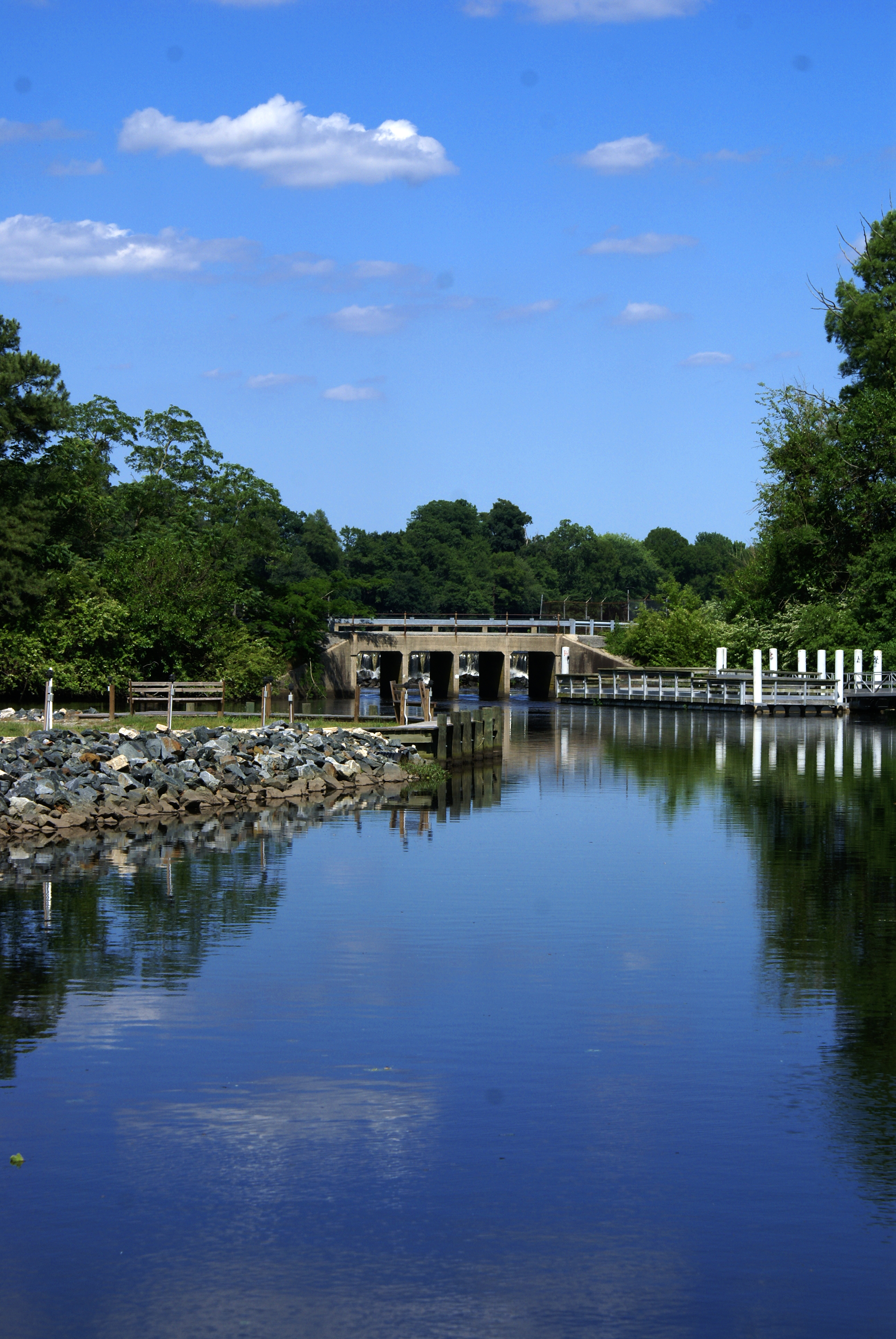
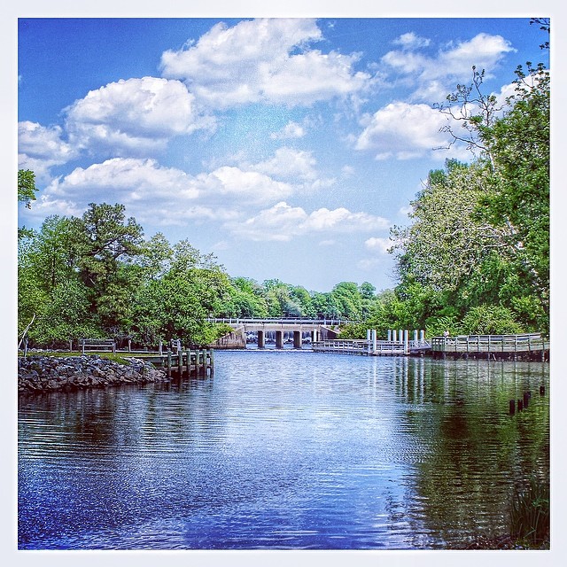
Records Pond Laurel Delaware
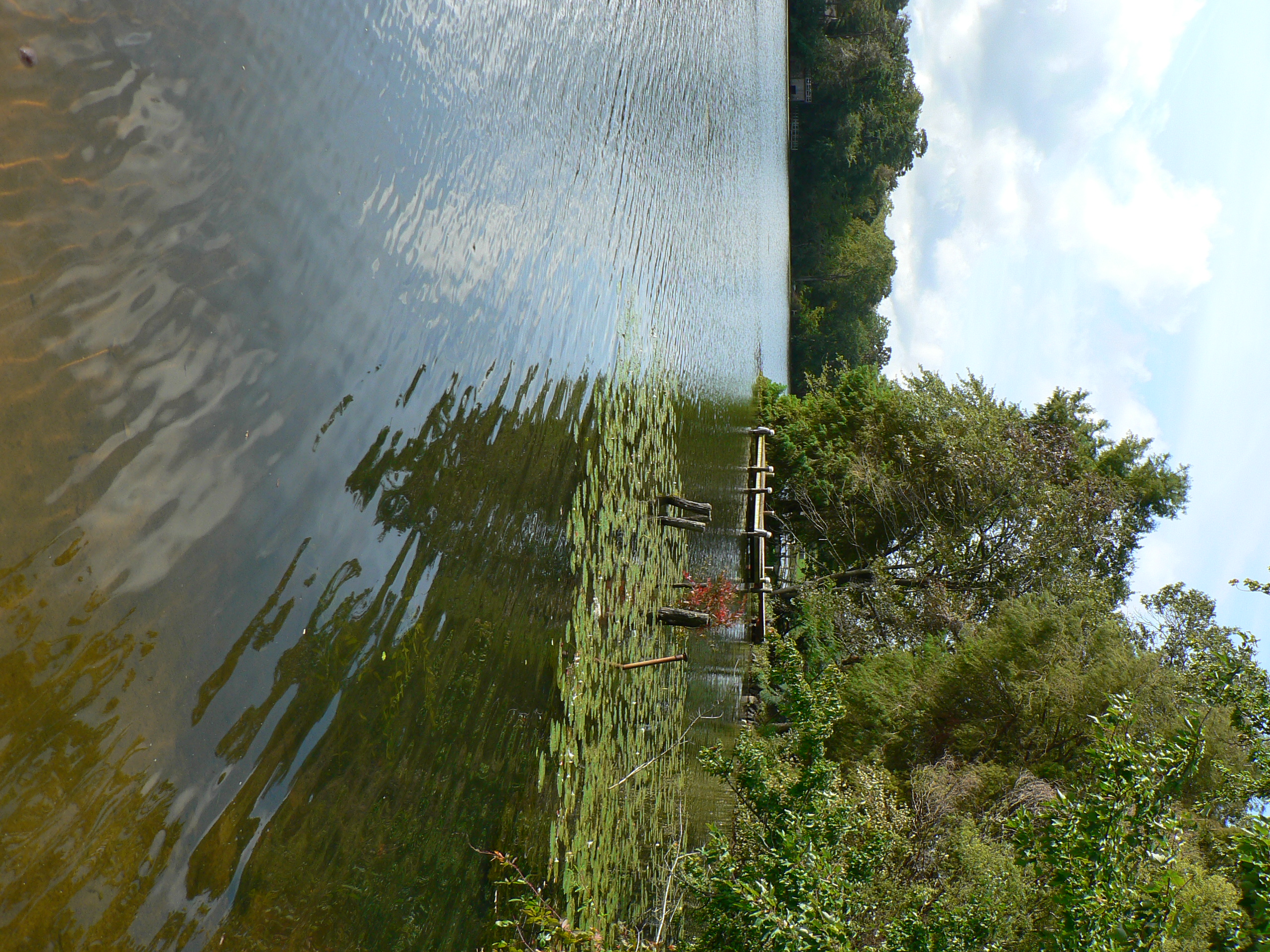
dock 2

Wood Thrush
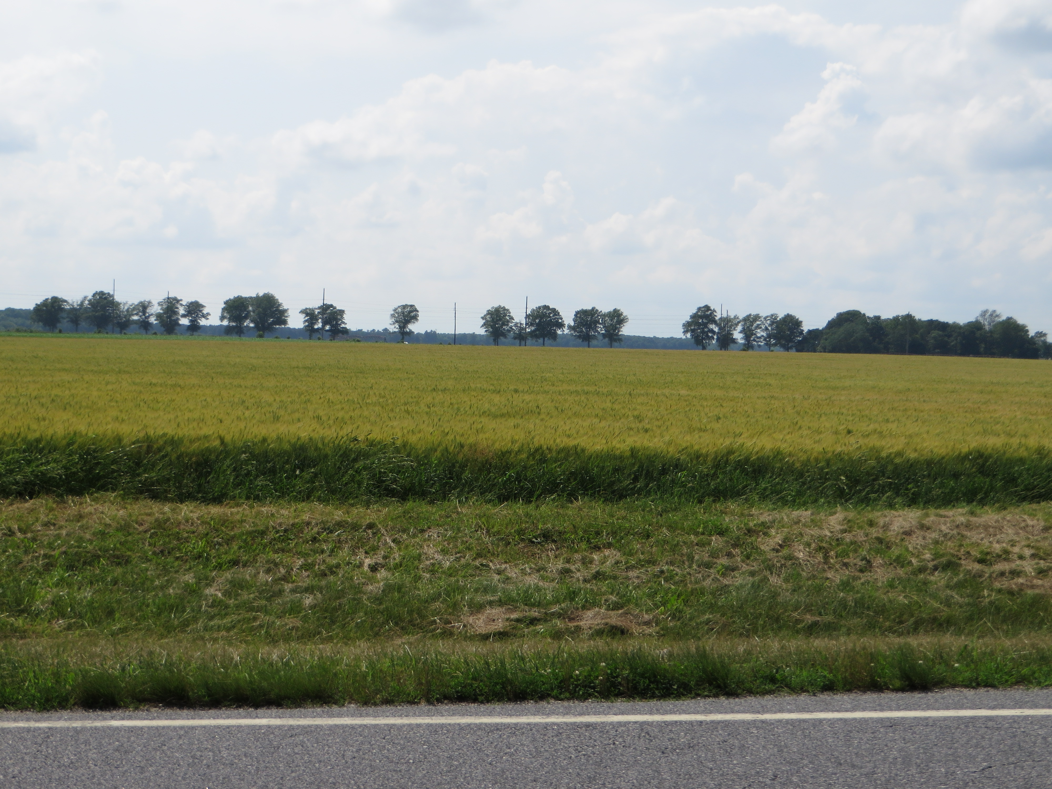
Fields, U.S. 13, Bridgeville, Delaware
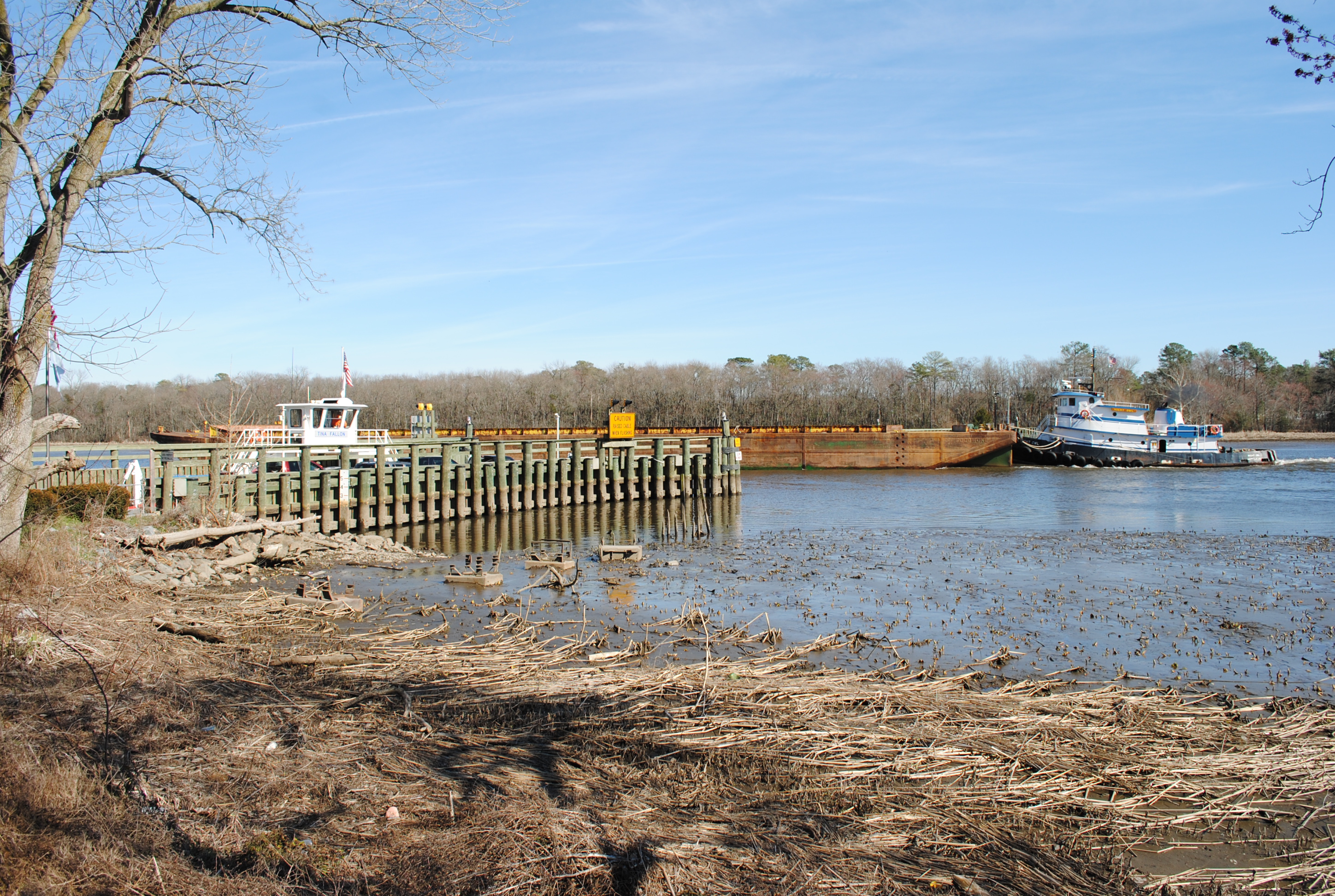
Woodland Ferry

rt. 13
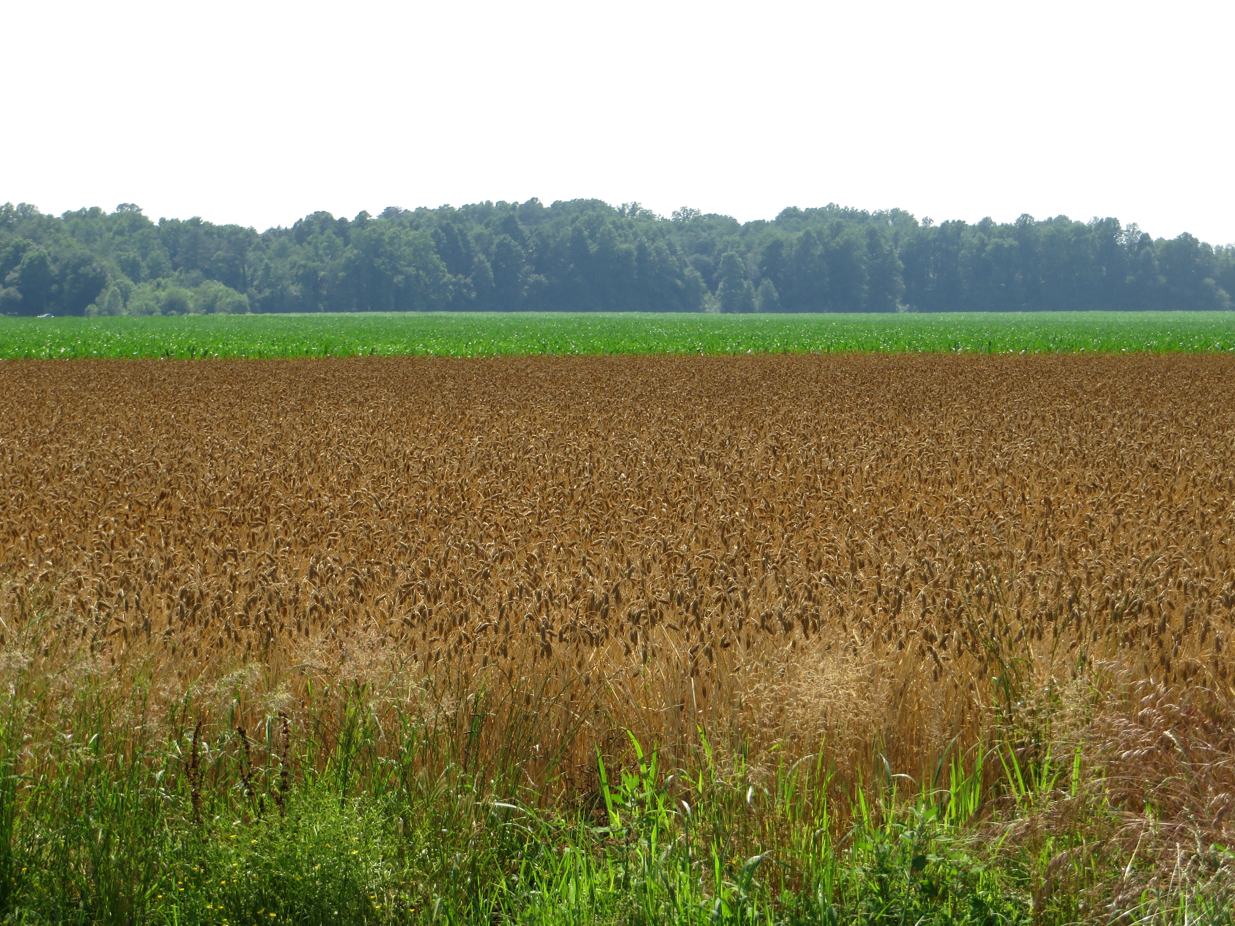
Fields, Bridgeville, Delaware

Woodland Ferry

Woodland Ferry

Catch and Release
Topographic Map of Mill Park Dr, Bridgeville, DE, USA
Find elevation by address:

Places near Mill Park Dr, Bridgeville, DE, USA:
Seashore Hwy, Bridgeville, DE, USA
Collins Pond Rd E, Georgetown, DE, USA
12085 Redden Rd
Redden Rd, Georgetown, DE, USA
Owens Rd, Greenwood, DE, USA
11872 Shawnee Rd
E Redden Rd, Georgetown, DE, USA
E Robbins Rd, Georgetown, DE, USA
21315 Berlin Rd
W North St, Georgetown, DE, USA
310 W Market St
Georgetown
19 Clover Dr
Ellendale
21460 Park Ave
Laurel St Ext, Georgetown, DE, USA
Park Ave, Georgetown, DE, USA
Fleatown Rd, Ellendale, DE, USA
Reynolds Pond Rd, Ellendale, DE, USA
17885 Loblolly Way
Recent Searches:
- Elevation of Woodland Oak Pl, Thousand Oaks, CA, USA
- Elevation of Brownsdale Rd, Renfrew, PA, USA
- Elevation of Corcoran Ln, Suffolk, VA, USA
- Elevation of Mamala II, Sariaya, Quezon, Philippines
- Elevation of Sarangdanda, Nepal
- Elevation of 7 Waterfall Way, Tomball, TX, USA
- Elevation of SW 57th Ave, Portland, OR, USA
- Elevation of Crocker Dr, Vacaville, CA, USA
- Elevation of Pu Ngaol Community Meeting Hall, HWHM+3X7, Krong Saen Monourom, Cambodia
- Elevation of Royal Ontario Museum, Queens Park, Toronto, ON M5S 2C6, Canada