Elevation of Mildred Ridge, California, USA
Location: United States > California > Placer County > Tahoe City >
Longitude: -120.33472
Latitude: 39.1638888
Elevation: 2536m / 8320feet
Barometric Pressure: 74KPa
Elevation Map:
Satellite Map:
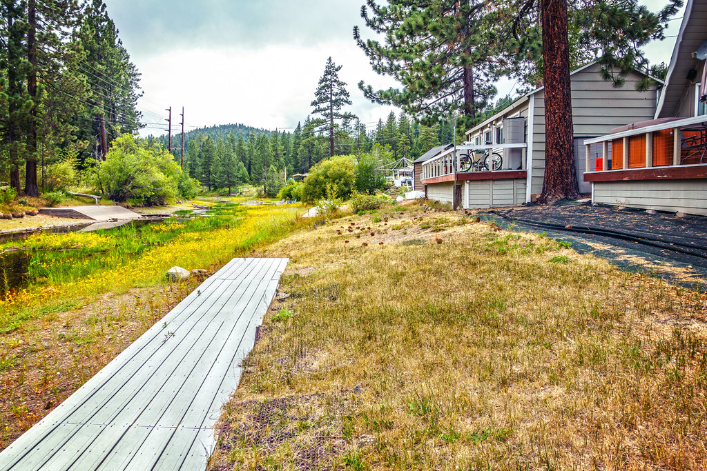
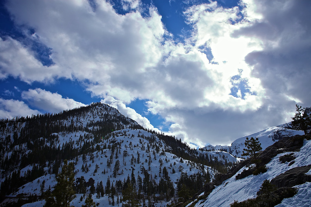
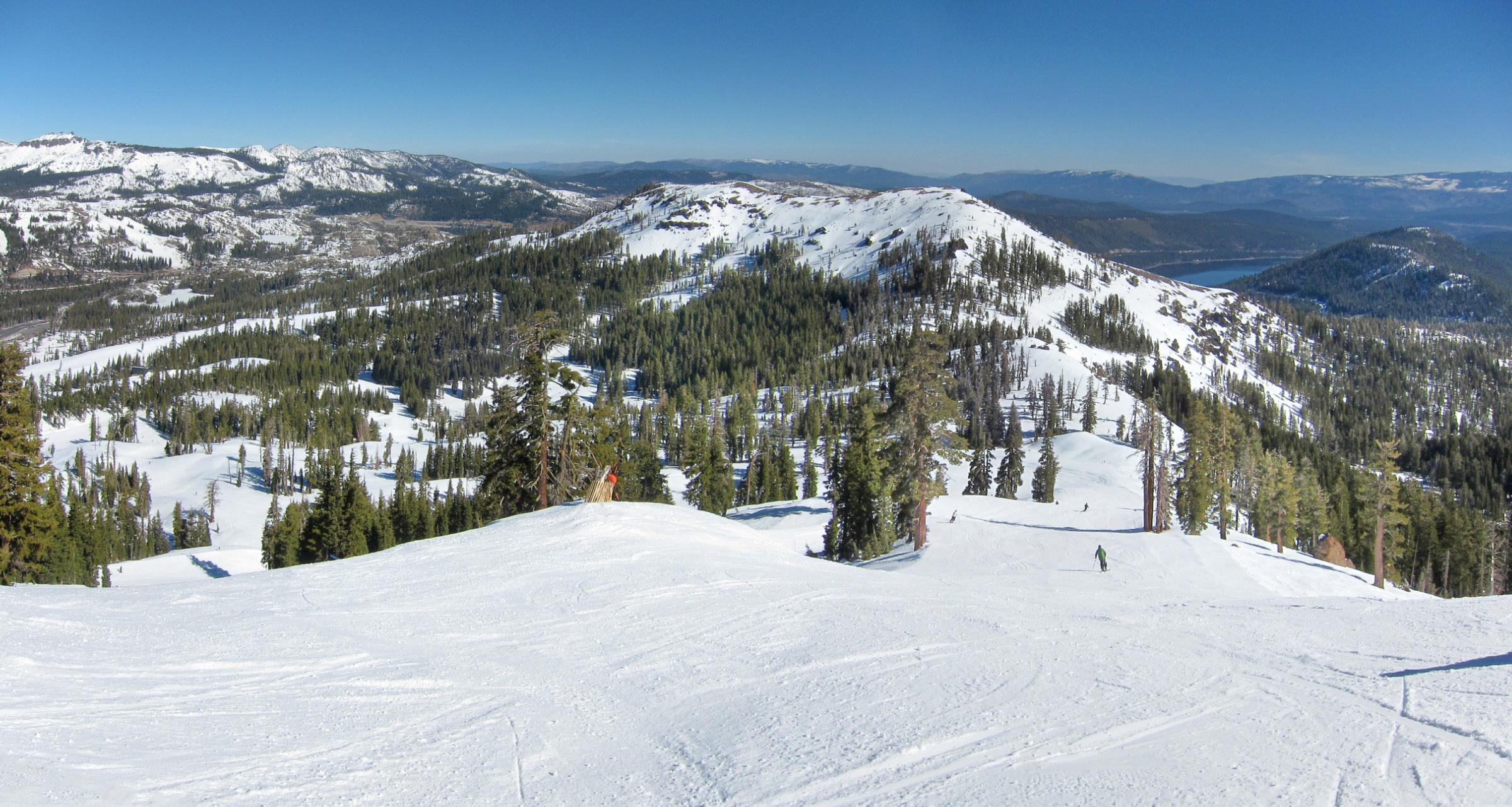
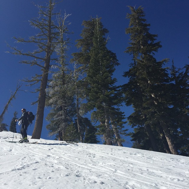
Related Photos:

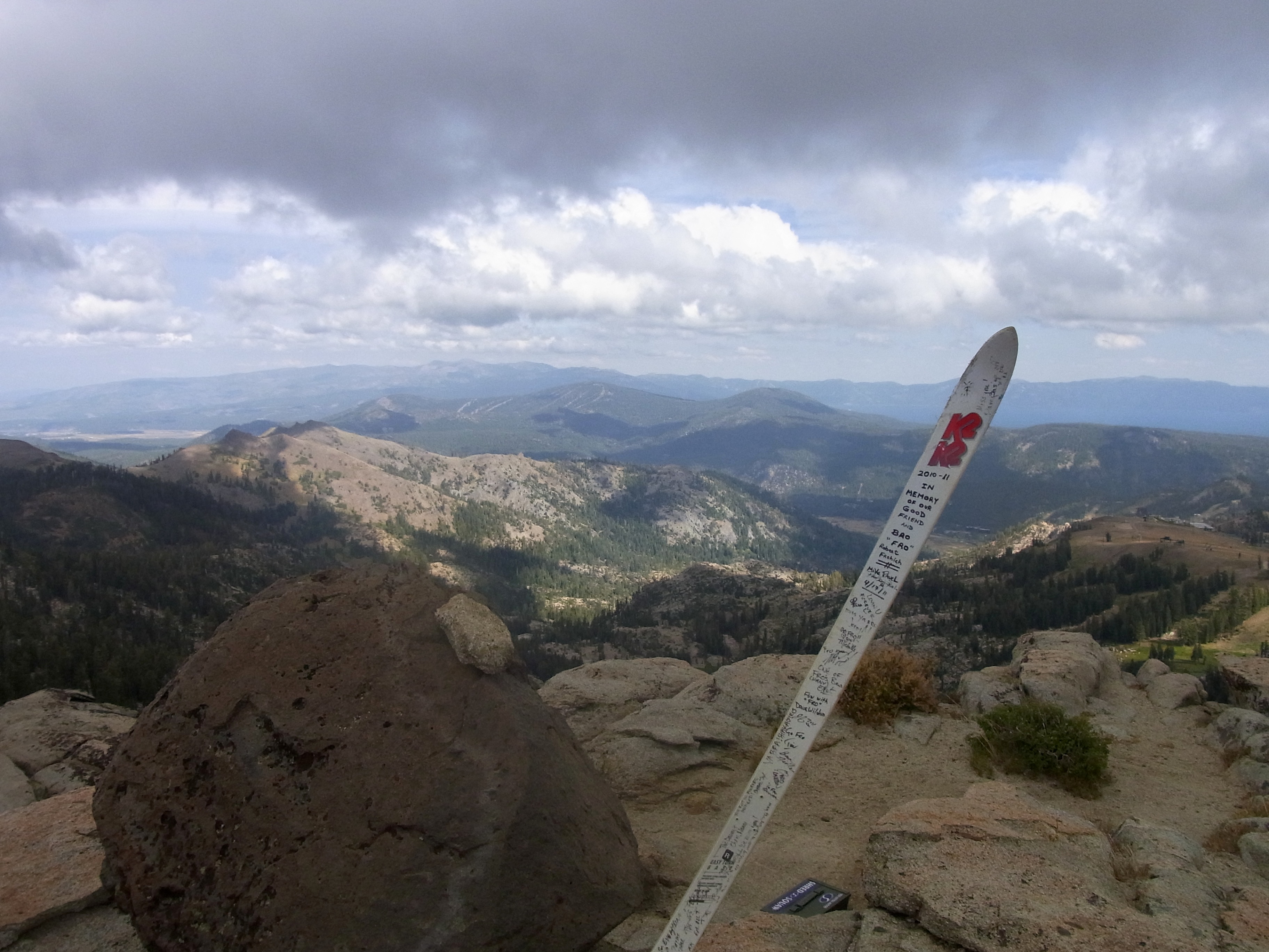
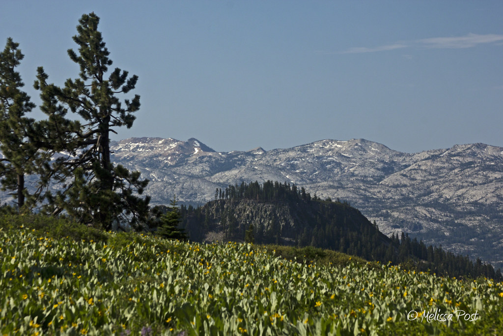
view south towards Granite Chief and Tinker's Knob
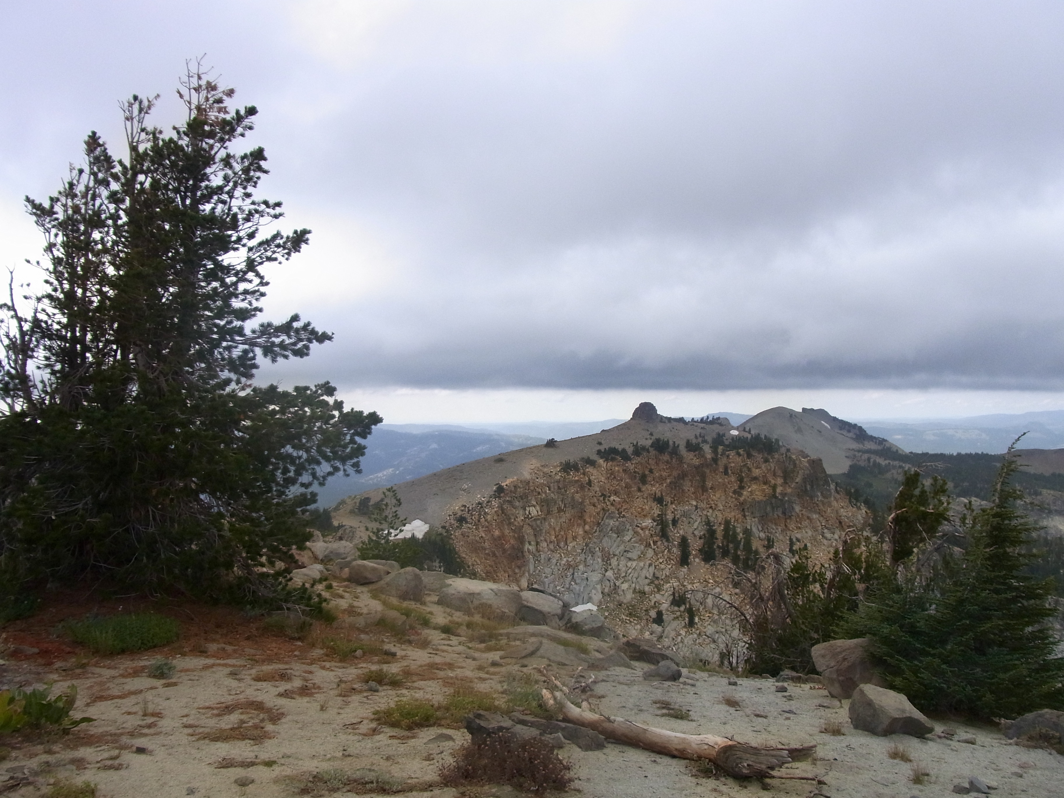
Granite Chief view east
Granite Chief view west

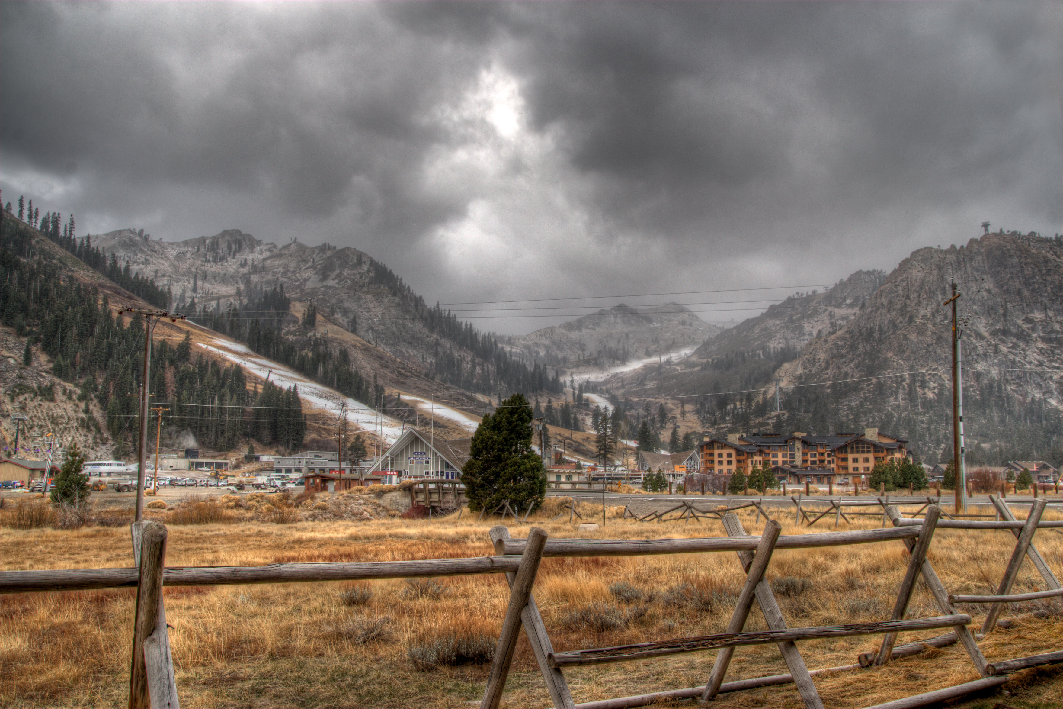
Olympic Valley Grey Sky
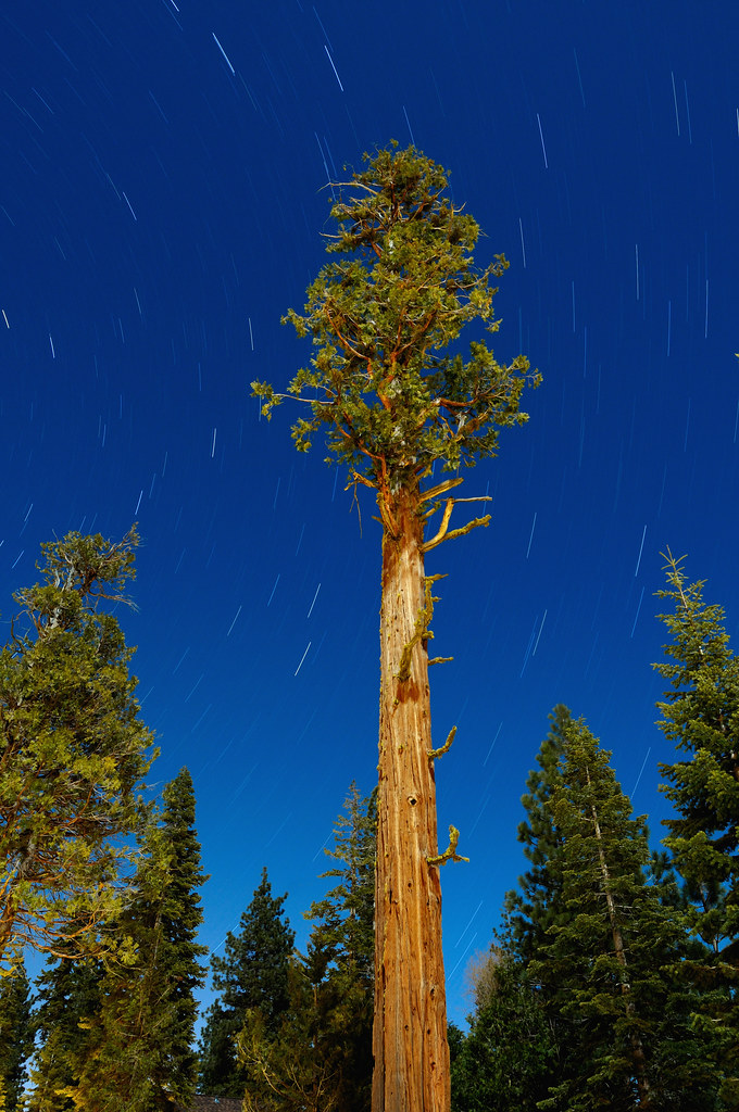
An Ancient Incense Cedar Tree Under Moonlight
Sky Mirror Amusement Park

Choose Your Metaphor

Kinetic Tahoe Sunrise Splashes
Sierra High
Squaw Valley
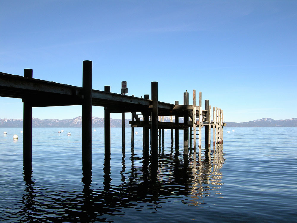
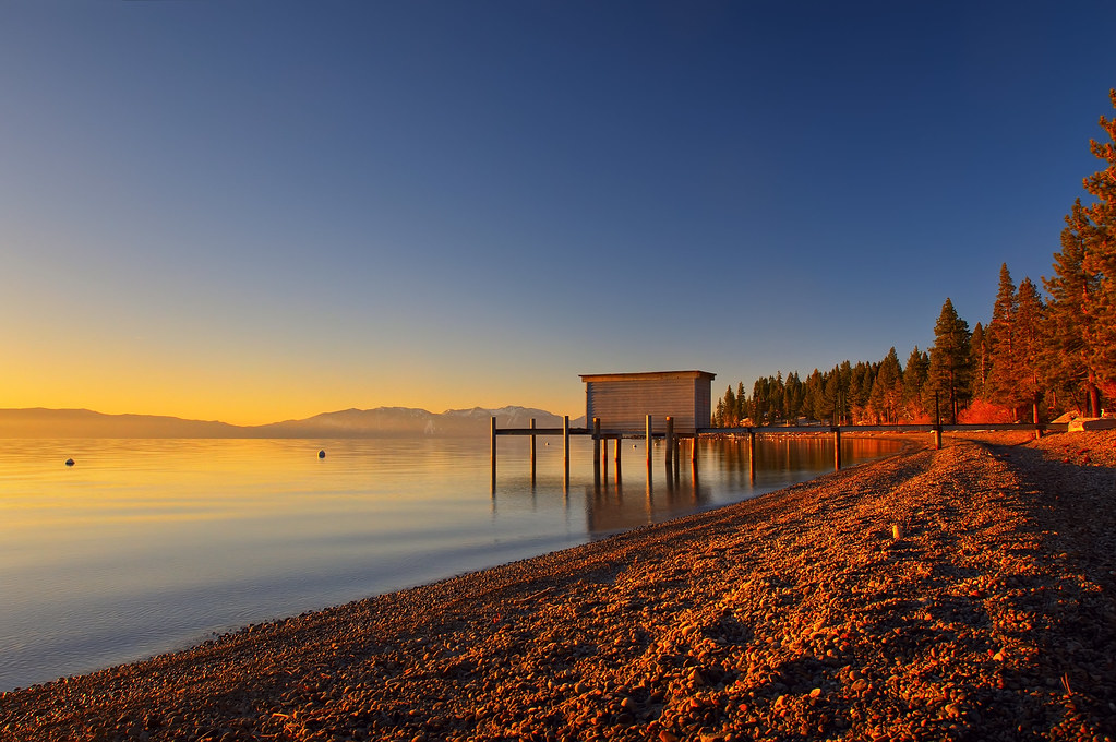
pier. lake tahoe, ca. 2005.

Squaw Valley Summit View
Climate change on the Truckee River at its source point on Lake Tahoe
Climate change on the Truckee River, moving the edge.
Winter at Sierra_6
View from top of Mt Lincoln at Sugar Bowl pano1 2-25-14

Lake Tahoe
@kberger taking the view from Mount Judah
Lake View ski run at Sugar Bowl 2-25-14
View to the South from Squaw Peak
View from Snow Mountain warming hut in Royal Gorge area pano1 6-25-14
Topographic Map of Mildred Ridge, California, USA
Find elevation by address:

Places near Mildred Ridge, California, USA:
Needle Peak
Soda Springs
Granite Chief Wilderness
Soda Springs Rd, Truckee, CA, USA
Soda Springs Rd, Truckee, CA, USA
Tinker Knob
Bear Creek Drive
Benson Hut
Olympic Valley
Squaw Valley Resort
1750 Village East Rd
1739 Sandy Way
Christy Lane
Mckinstry Peak
Scott Peak
Sandy Way
1509 Christy Ln
Bunker Lake
Resort At Squaw Creek
Mount Lincoln
Recent Searches:
- Elevation of Corso Fratelli Cairoli, 35, Macerata MC, Italy
- Elevation of Tallevast Rd, Sarasota, FL, USA
- Elevation of 4th St E, Sonoma, CA, USA
- Elevation of Black Hollow Rd, Pennsdale, PA, USA
- Elevation of Oakland Ave, Williamsport, PA, USA
- Elevation of Pedrógão Grande, Portugal
- Elevation of Klee Dr, Martinsburg, WV, USA
- Elevation of Via Roma, Pieranica CR, Italy
- Elevation of Tavkvetili Mountain, Georgia
- Elevation of Hartfords Bluff Cir, Mt Pleasant, SC, USA