Elevation of Mount Lincoln, Mt Lincoln, California, USA
Location: United States > California > Truckee >
Longitude: -120.32797
Latitude: 39.287683
Elevation: 2546m / 8353feet
Barometric Pressure: 74KPa
Elevation Map:
Satellite Map:
Related Photos:

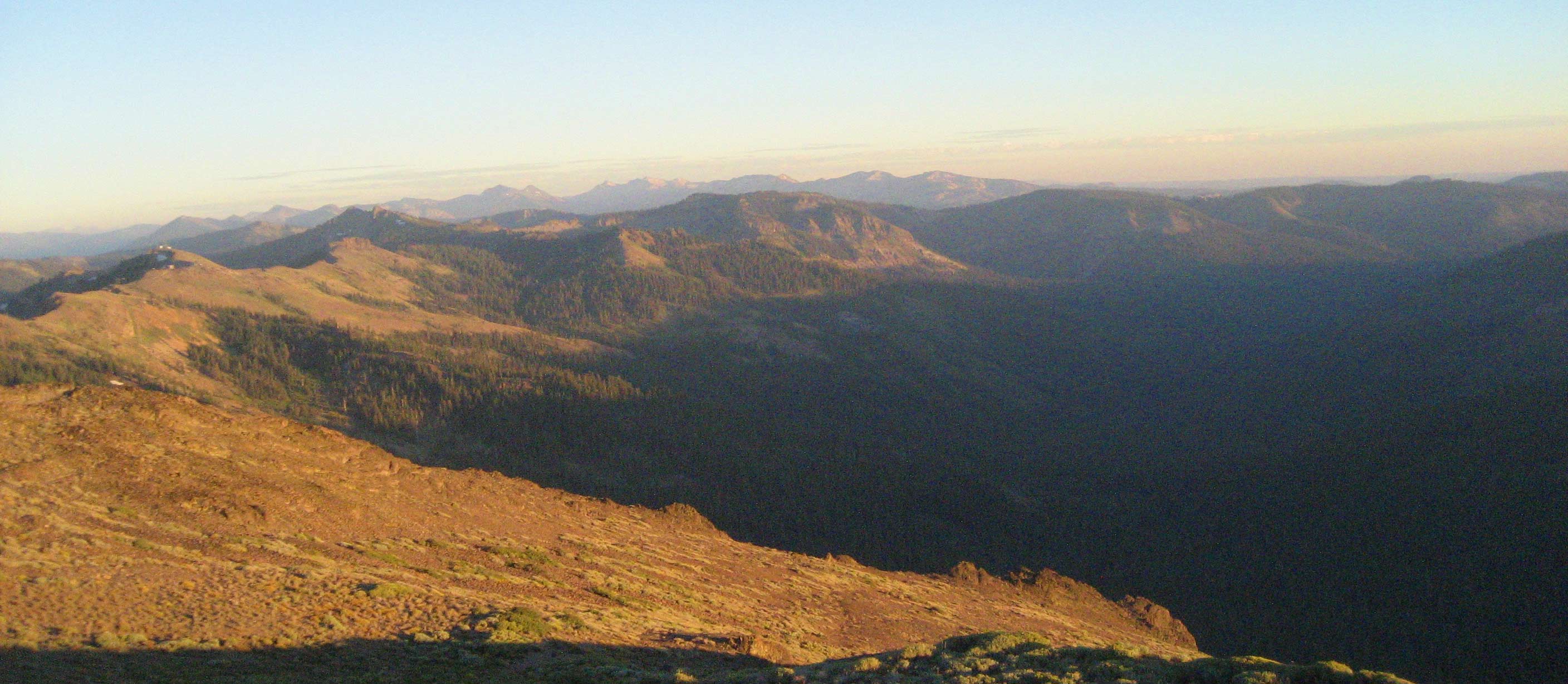
Donner Ablaze!

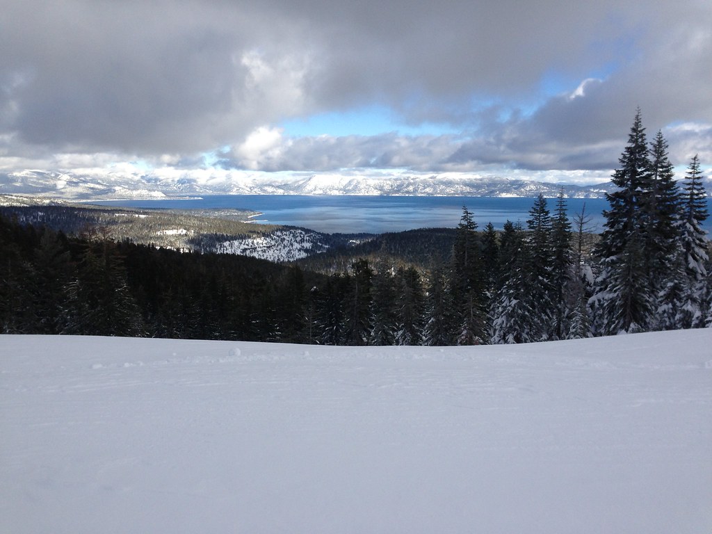
Squaw Valley Summit View
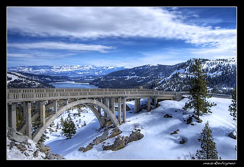
Donner Summit Bridge .:HDR:.

Donner Peak, California

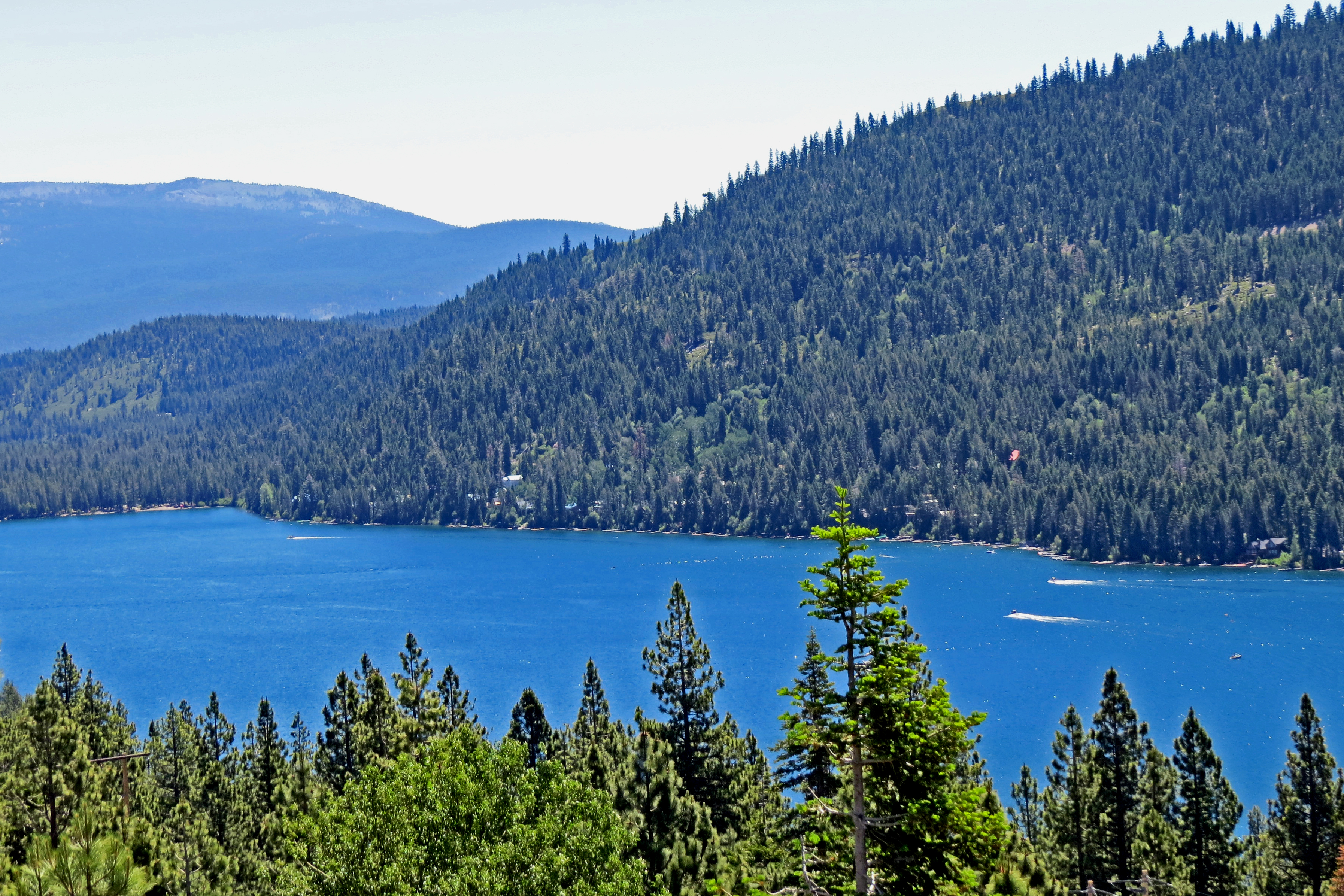
Donner Lake
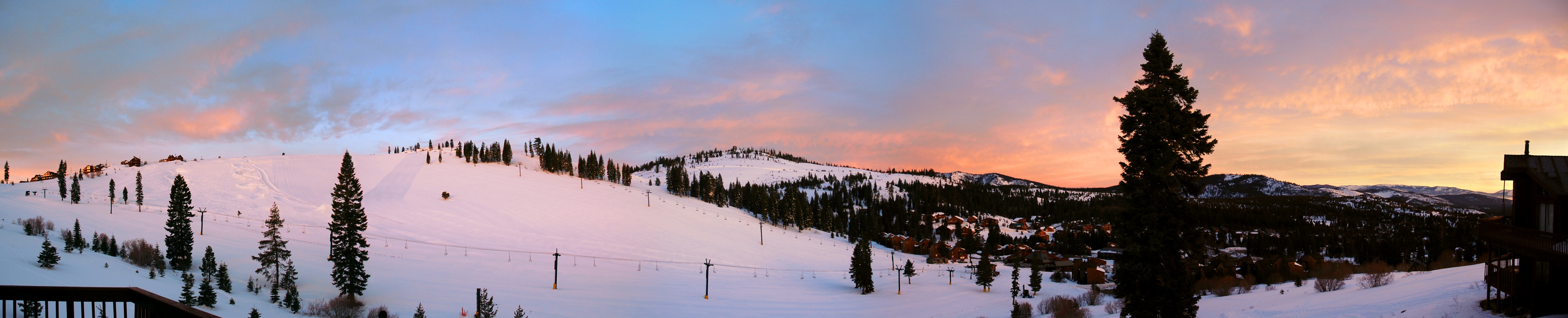
Truckee Sunrise
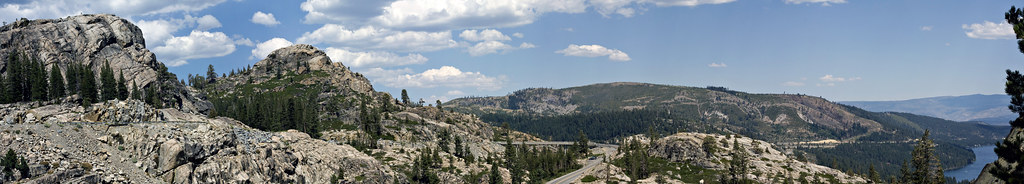
Donner Summit Panorama2
Donner Lake from a Vista Point along Interstate East 140629-113230 C4
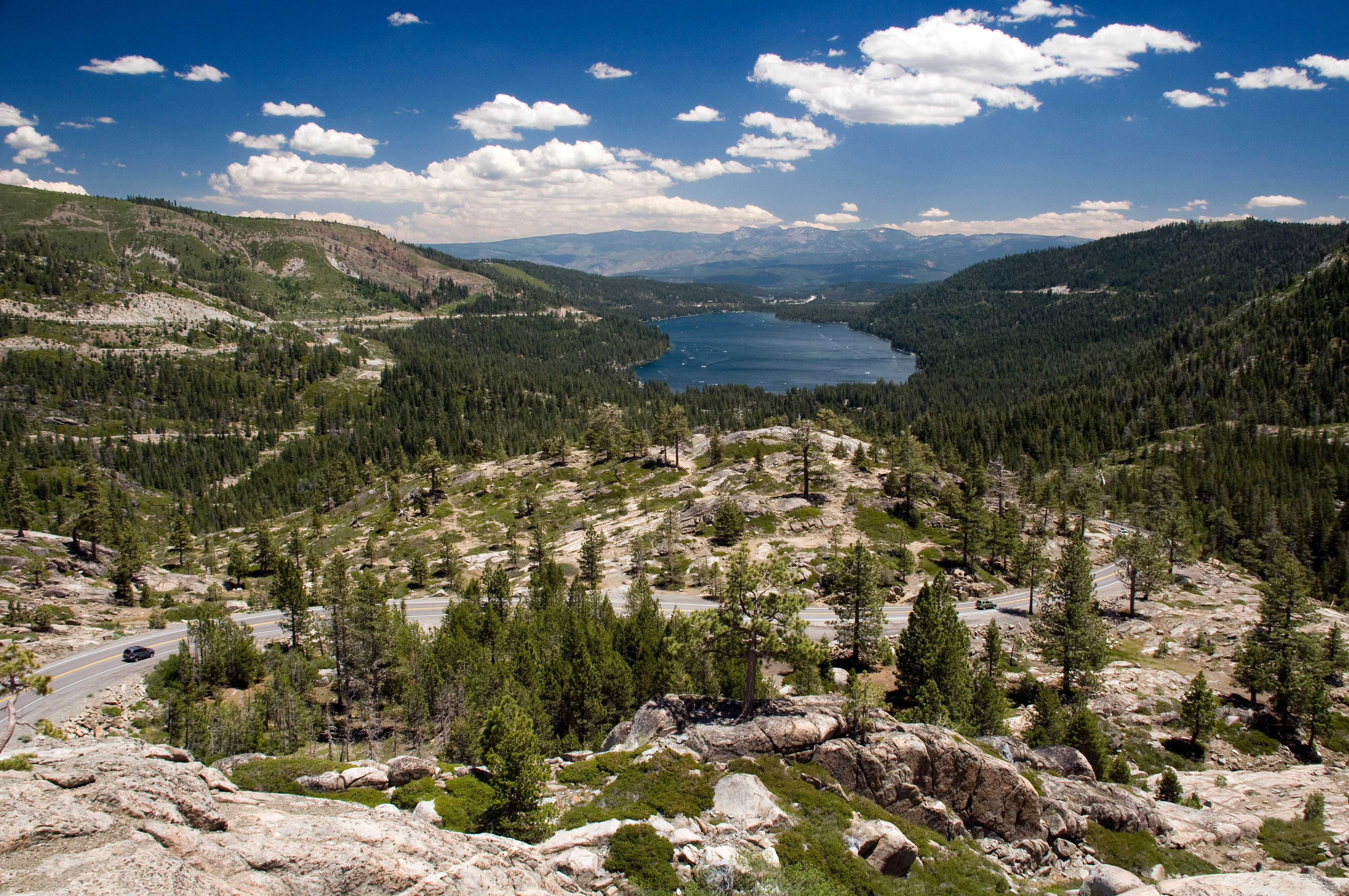
Donner Lake from Donner Pass
One hell of a view. #day19

Never get tired of this view.
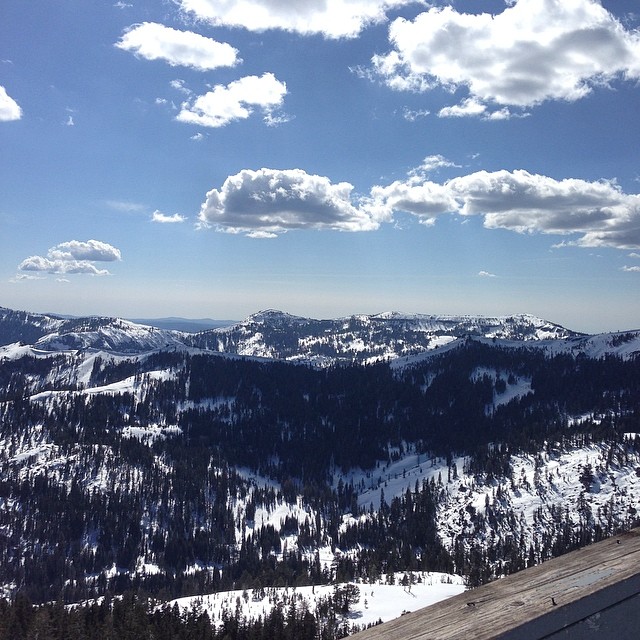
Winter at Sierra_6
@kberger taking the view from Mount Judah
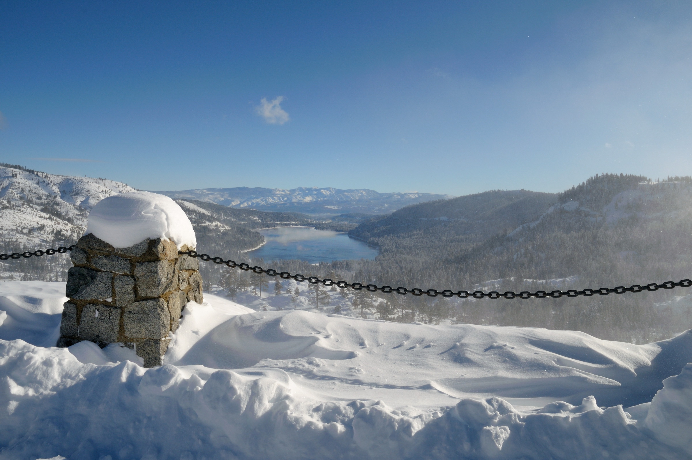
Snowy view of Donner Lake from the Donner Pass overlook-03 12-8-09

Olympic Valley Grey Sky

MatrimonyRidge_20090103-115528
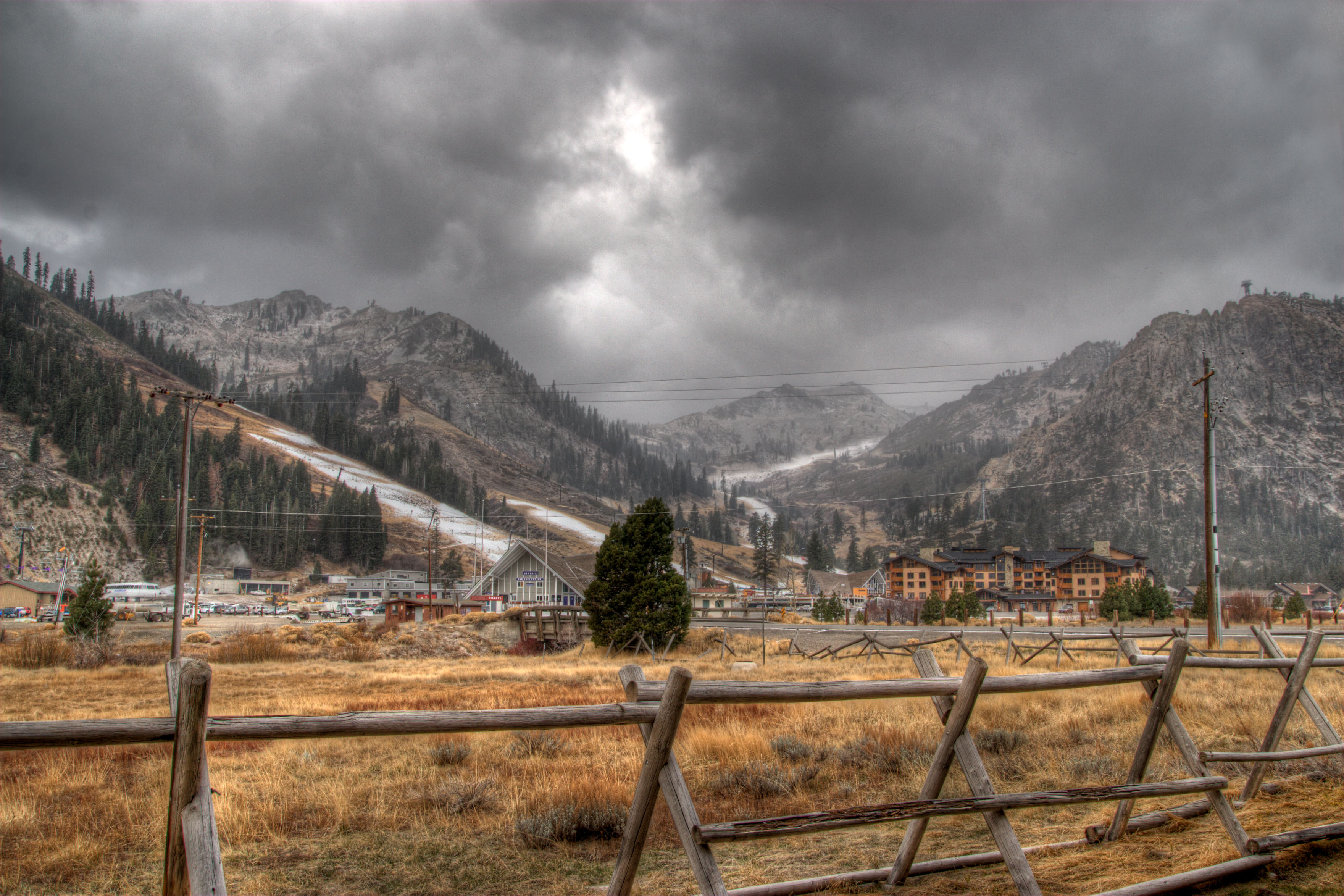
Squaw Valley
Lunch view today
A view from the top
View to the South from Squaw Peak

Go Climb a Rock 2934
Topographic Map of Mount Lincoln, Mt Lincoln, California, USA
Find elevation by address:

Places near Mount Lincoln, Mt Lincoln, California, USA:
Sugar Bowl Resort
Donner Peak
Donner Pass
Donner Summit Road
Norden
Donner Pass Road
Donner Summit Bridge
Soda Springs Rd, Truckee, CA, USA
Soda Springs
Soda Springs Rd, Truckee, CA, USA
Benson Hut
Fawn St, Truckee, CA, USA
14068 Gates Look
16153 Wolfe Dr
16255 Cinnamon Ridge Pl
Boreal Mountain California
19749 Boreal Ridge Rd
19749 Boreal Ridge Rd
15695 Donner Pass Rd
Donner Lake Village
Recent Searches:
- Elevation of Corso Fratelli Cairoli, 35, Macerata MC, Italy
- Elevation of Tallevast Rd, Sarasota, FL, USA
- Elevation of 4th St E, Sonoma, CA, USA
- Elevation of Black Hollow Rd, Pennsdale, PA, USA
- Elevation of Oakland Ave, Williamsport, PA, USA
- Elevation of Pedrógão Grande, Portugal
- Elevation of Klee Dr, Martinsburg, WV, USA
- Elevation of Via Roma, Pieranica CR, Italy
- Elevation of Tavkvetili Mountain, Georgia
- Elevation of Hartfords Bluff Cir, Mt Pleasant, SC, USA