Elevation of Methodist Mountain, Colorado, USA
Location: United States > Colorado > Gunnison County > Salida >
Longitude: -106.01751
Latitude: 38.4527756
Elevation: 3558m / 11673feet
Barometric Pressure: 65KPa
Elevation Map:
Satellite Map:
Related Photos:
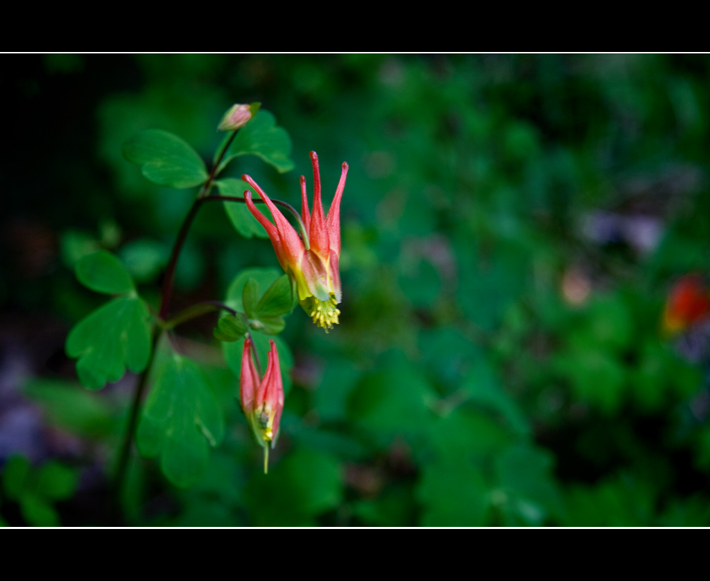
Red Columbine

Red Columbine
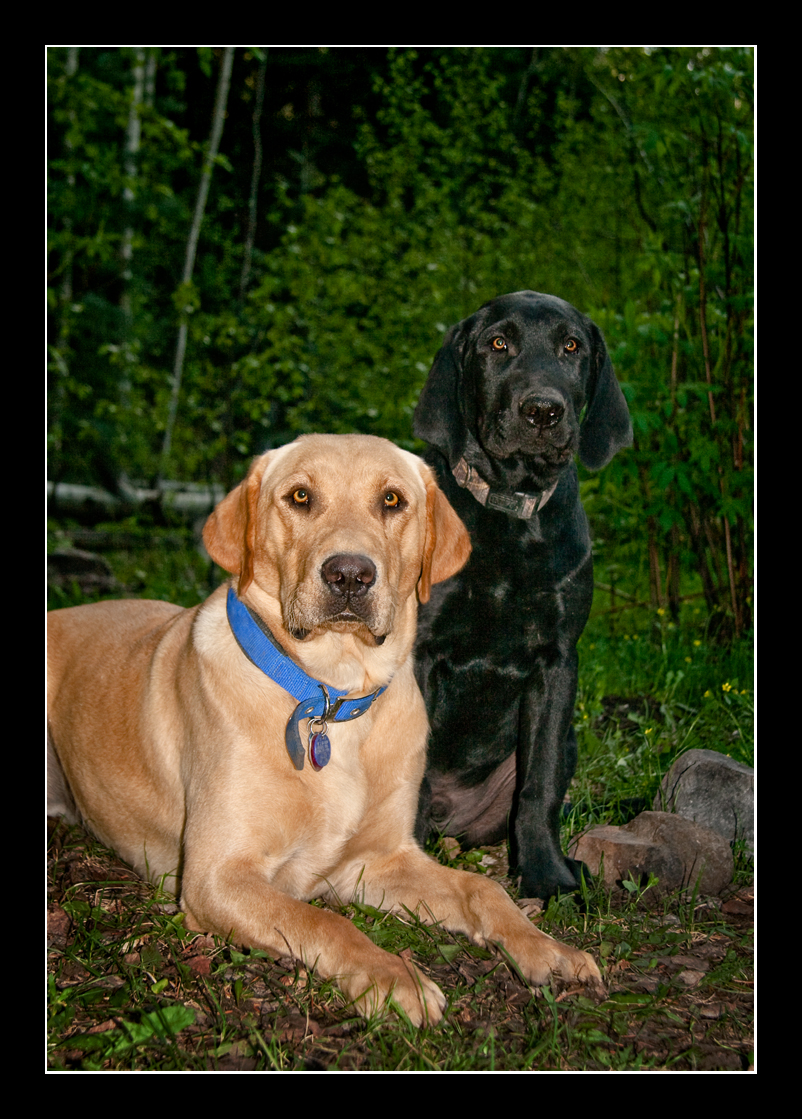
Grady and Jake
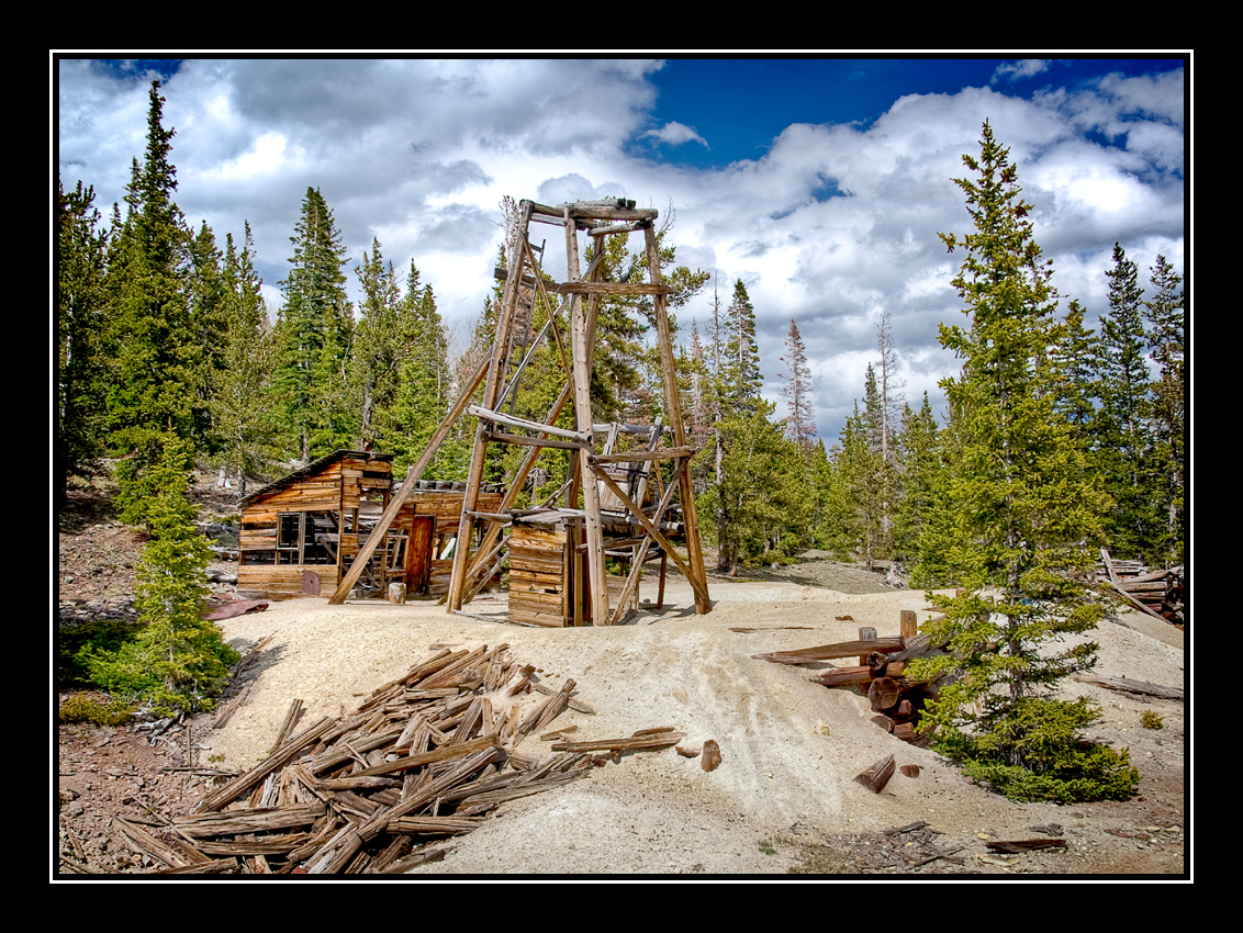
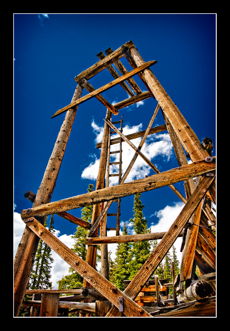
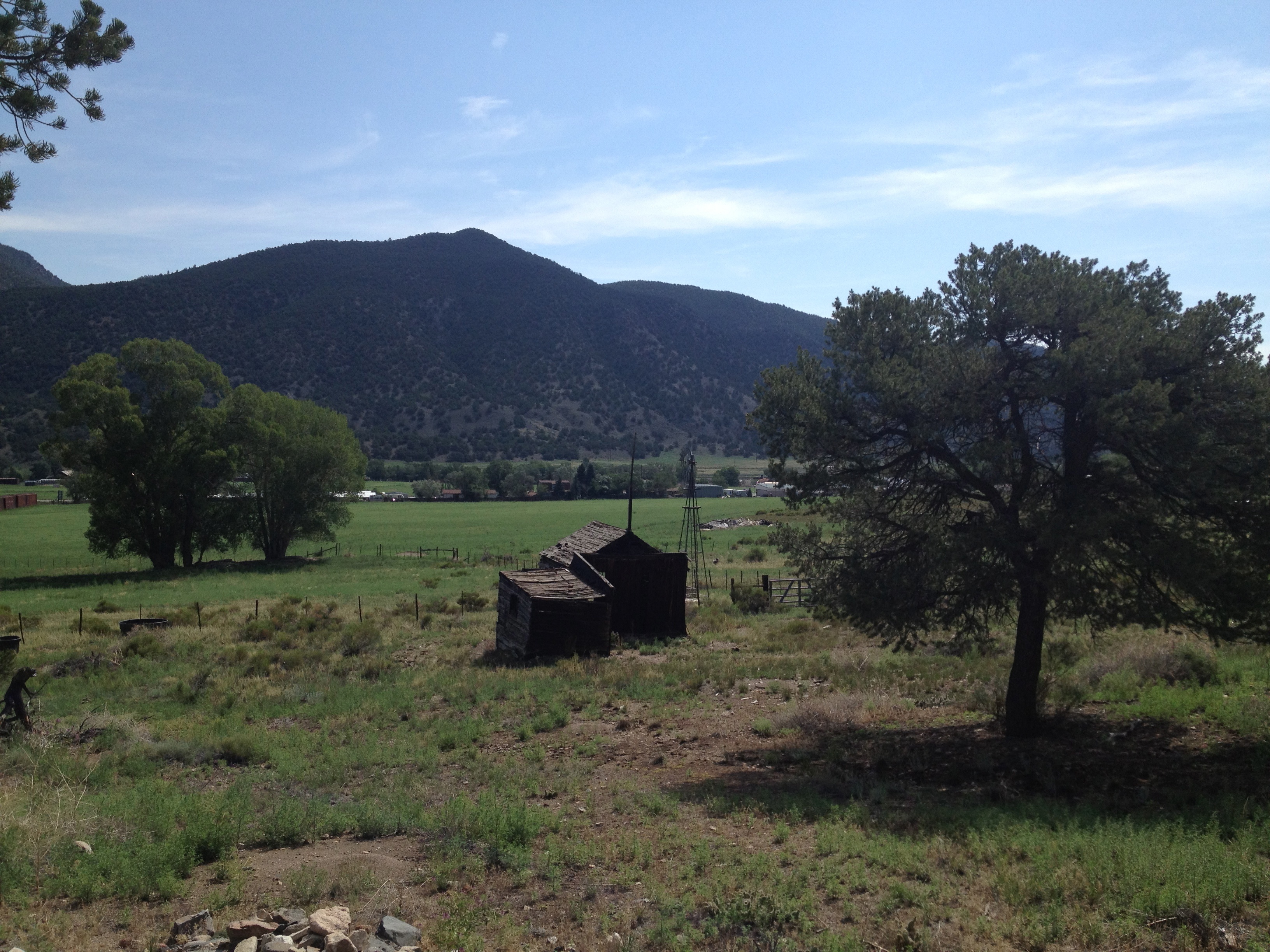
Old Mine

Jake and Grady
There Will Be Blood

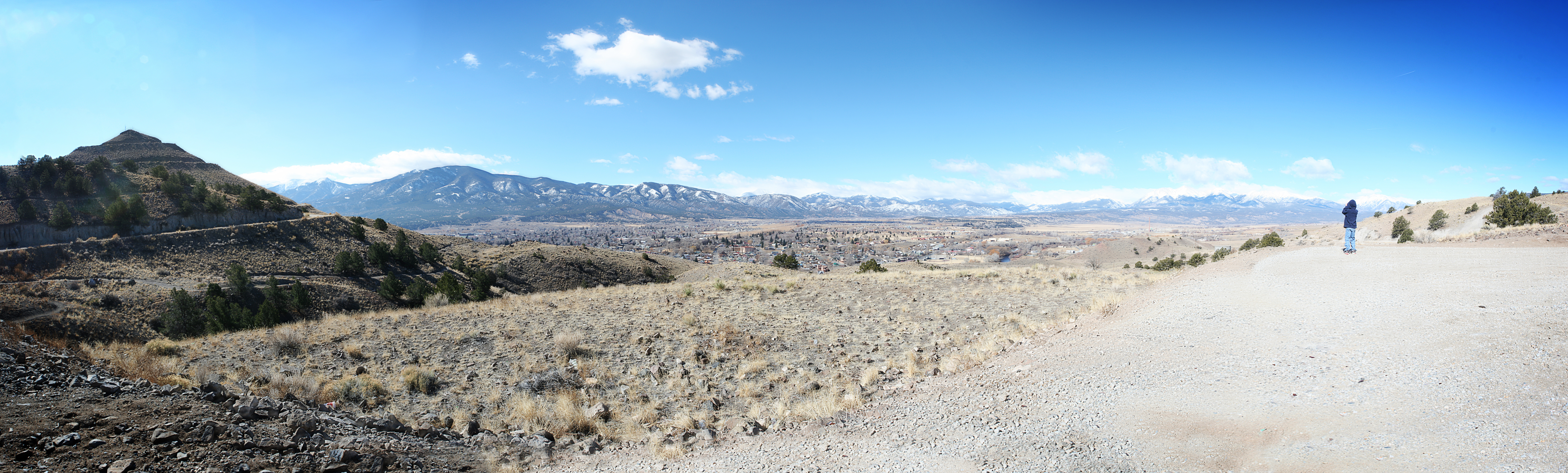
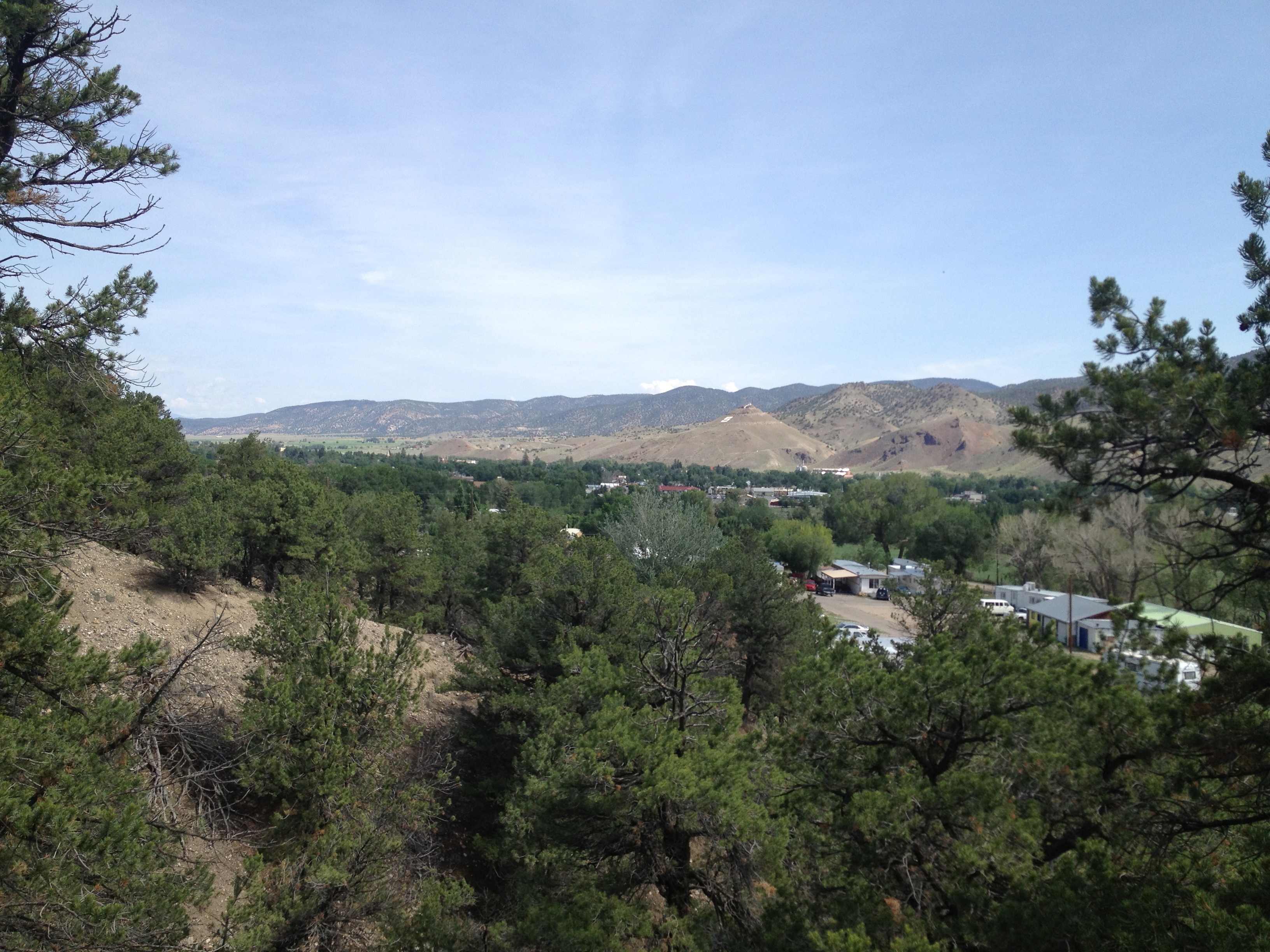
view from top of spiral drive, salida colorado
Evening View from Our Campsite
view back towards the railroad
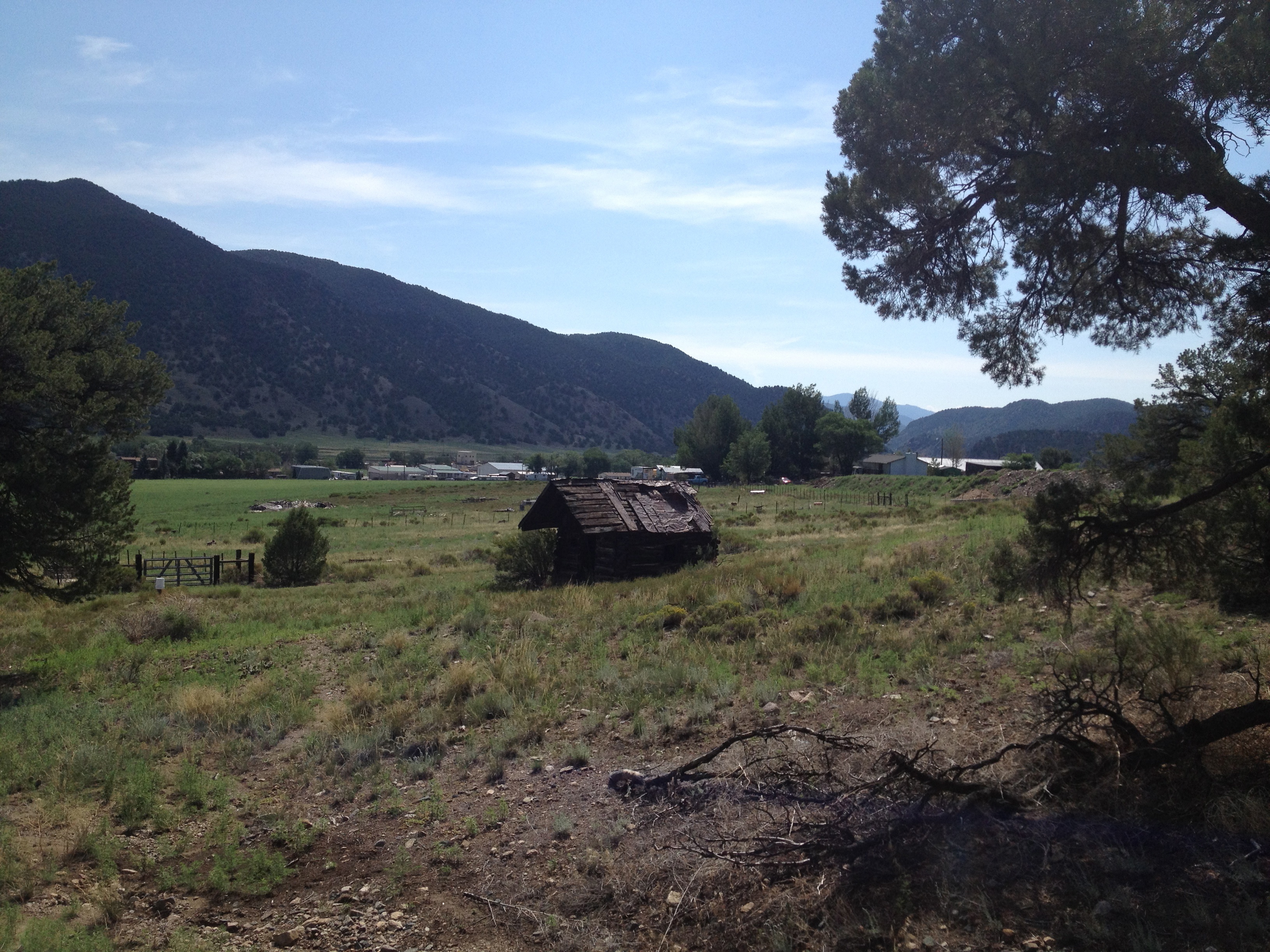
Salida, Colorado
Salida, Colorado - picture by Malcolm
0280 B&B View 2

0300 B&B View 3
0260 B&B View 1
0320 B&B View 4
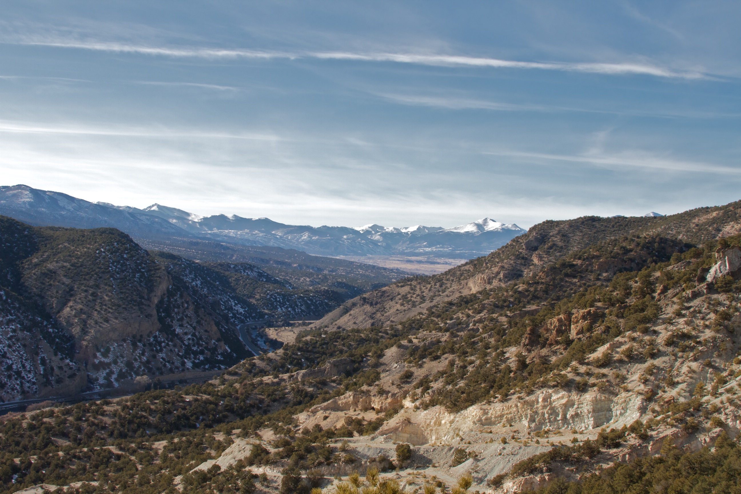
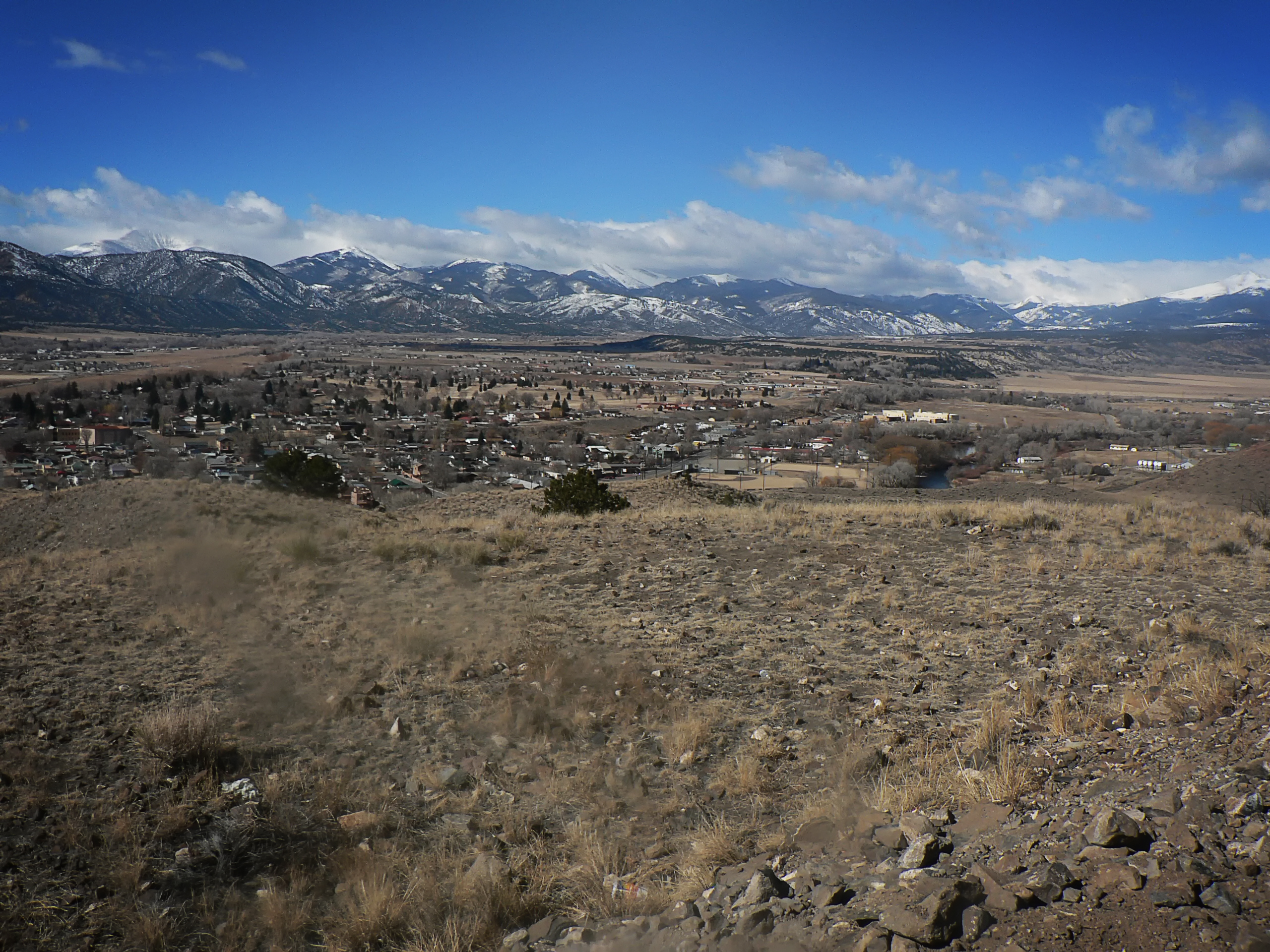
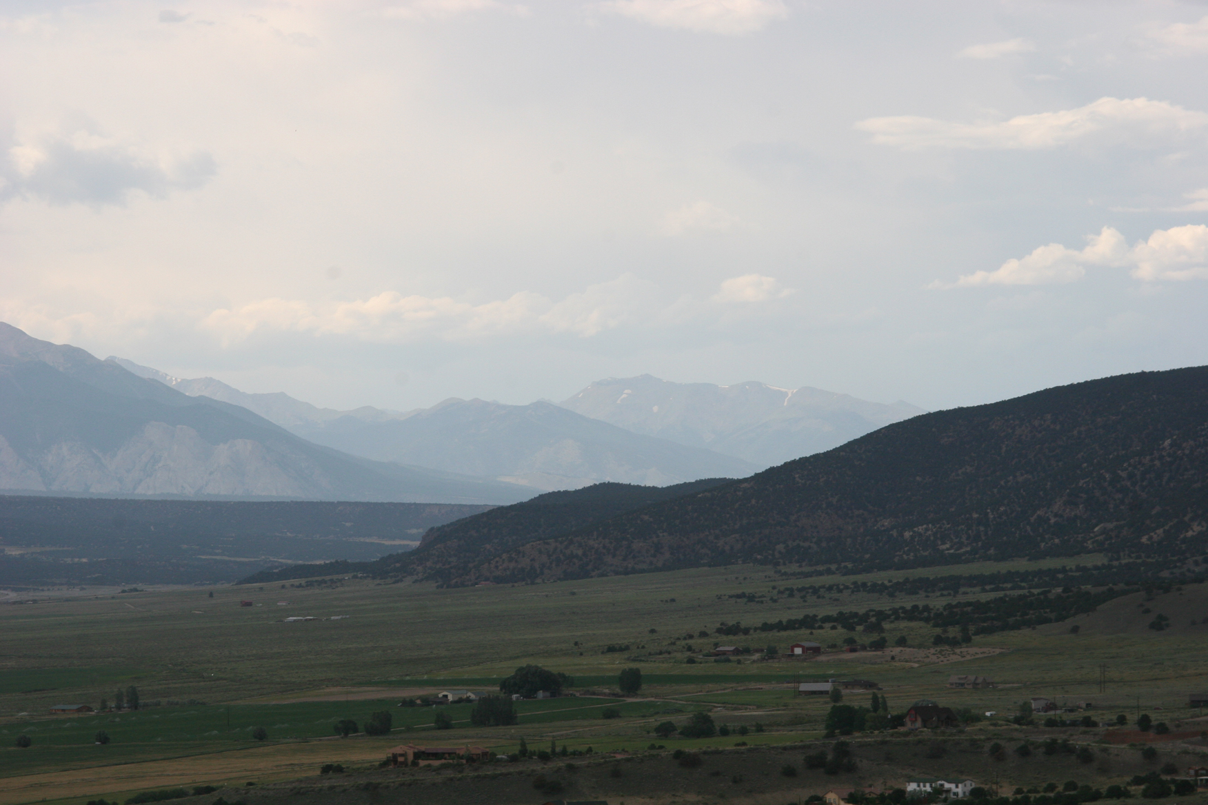
View Back Towards Salida from Wellsville
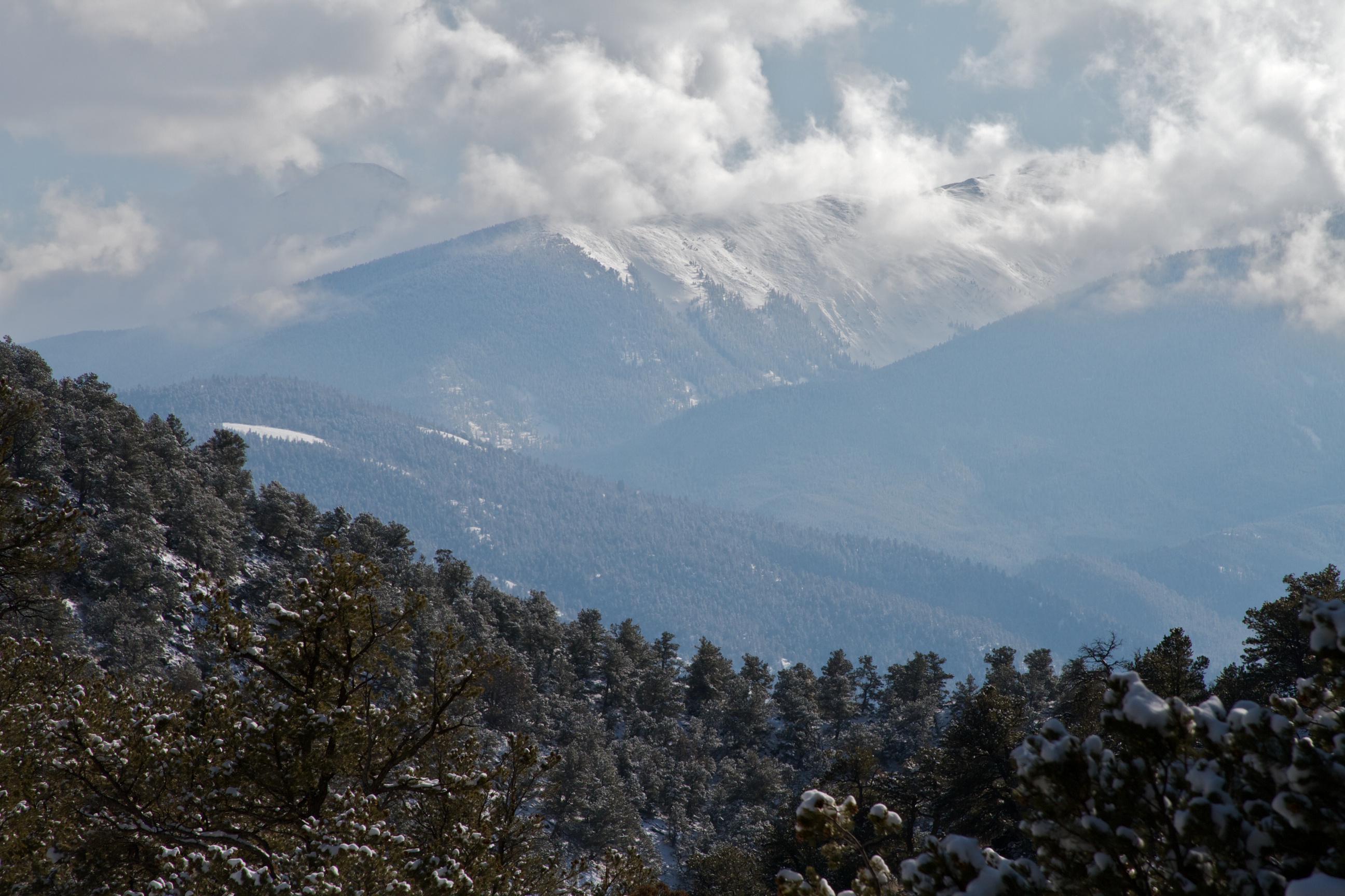
View from the top.
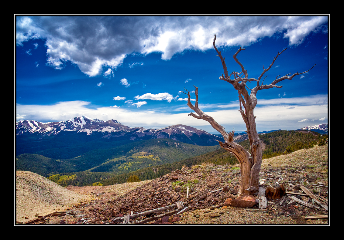
Tree With a View
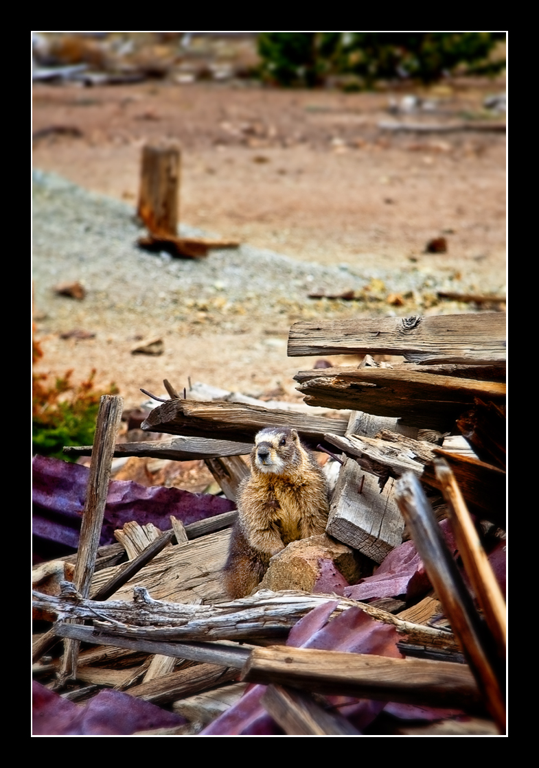
Marmot Mansion
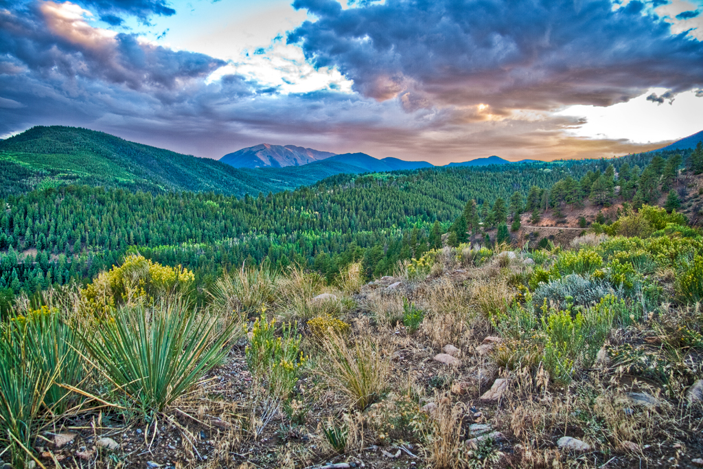
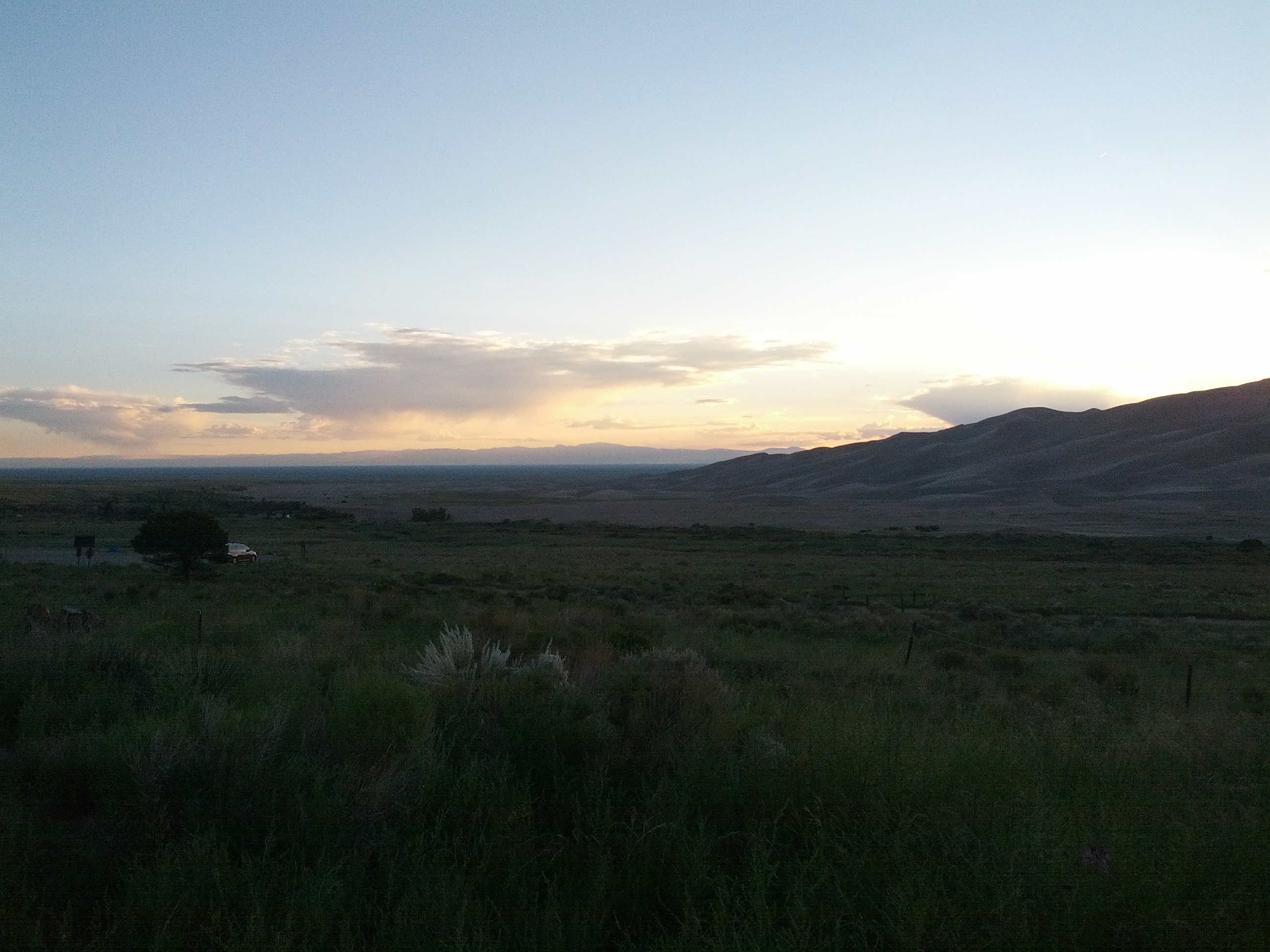
Marshall Pass Sunset

3D - Road to Silver Creek
Topographic Map of Methodist Mountain, Colorado, USA
Find elevation by address:

Places near Methodist Mountain, Colorado, USA:
Poncha Mountain
3310 Us-285
3520 Willow Ln
Cleveland Mountain
Mears Ln, Salida, CO, USA
Hunts Peak
1043 Co Rd 200
1043 Co Rd 200
Wellsville
Co Rd 7, Salida, CO, USA
Howard, CO, USA
Middle Camp Road
4821 Knotty Pine Rd
4821 Knotty Pine Rd
4821 Knotty Pine Rd
368 Pinon Hills Dr
County Road 48
460 Scenic Ln
Howard
Zagia's Apothecary Farm
Recent Searches:
- Elevation of Corso Fratelli Cairoli, 35, Macerata MC, Italy
- Elevation of Tallevast Rd, Sarasota, FL, USA
- Elevation of 4th St E, Sonoma, CA, USA
- Elevation of Black Hollow Rd, Pennsdale, PA, USA
- Elevation of Oakland Ave, Williamsport, PA, USA
- Elevation of Pedrógão Grande, Portugal
- Elevation of Klee Dr, Martinsburg, WV, USA
- Elevation of Via Roma, Pieranica CR, Italy
- Elevation of Tavkvetili Mountain, Georgia
- Elevation of Hartfords Bluff Cir, Mt Pleasant, SC, USA