Elevation of Mershon, GA, USA
Location: United States > Georgia > Bacon County >
Longitude: -82.257346
Latitude: 31.4641009
Elevation: 49m / 161feet
Barometric Pressure: 101KPa
Elevation Map:
Satellite Map:
Related Photos:

Okefenokee Swamp Trip
Okefenokee Swamp Trip

Last photo taken in 2011

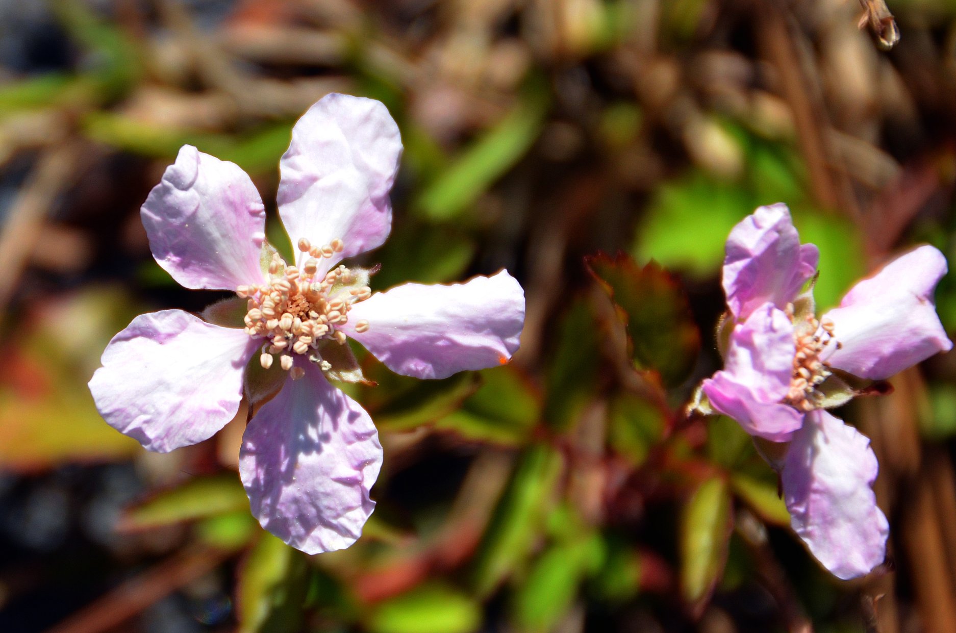
Little Angel Birds

Visitor Meanwhile

Flying home from Florida - Pretty Clouds
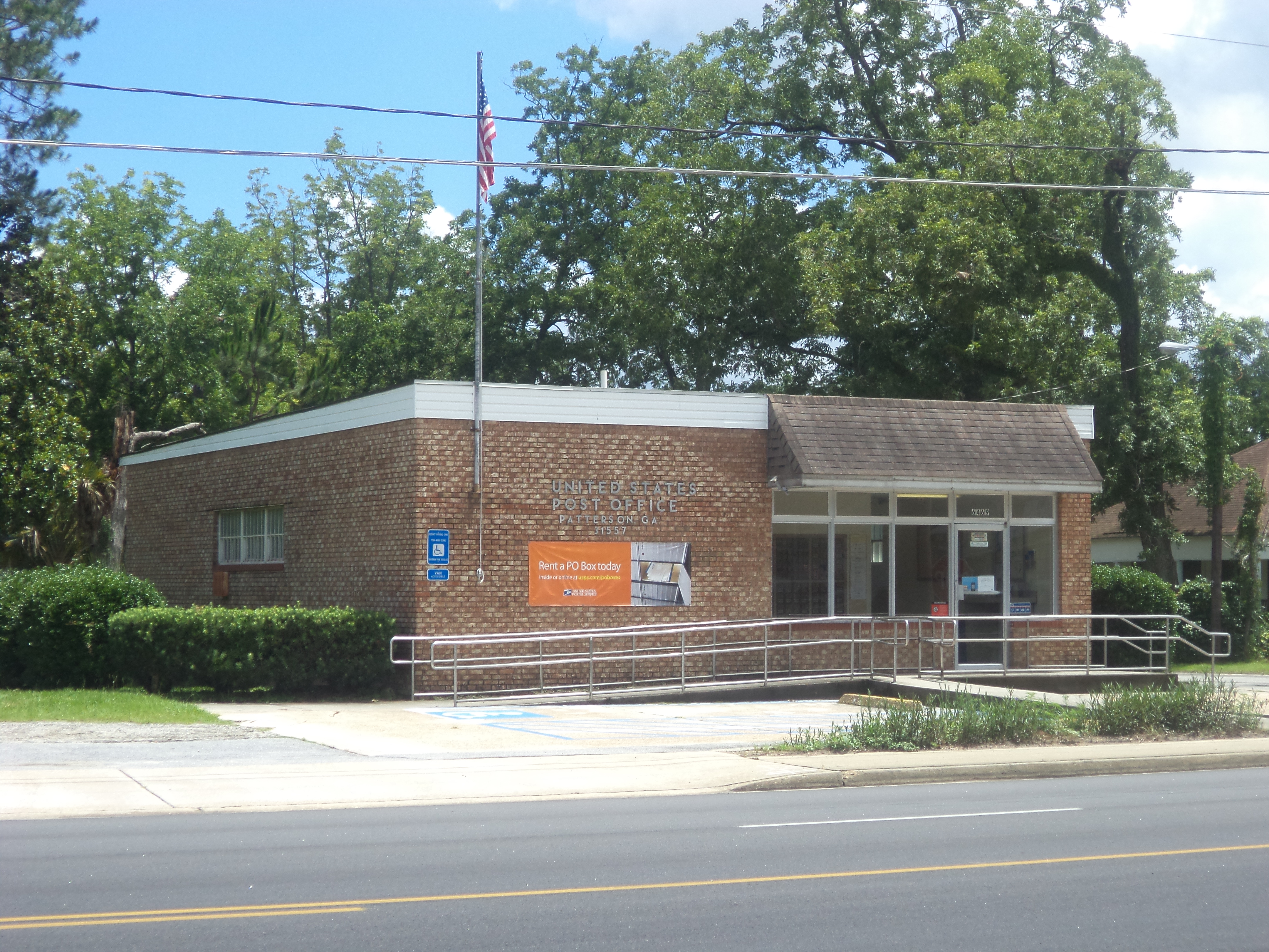
Patterson Post Office
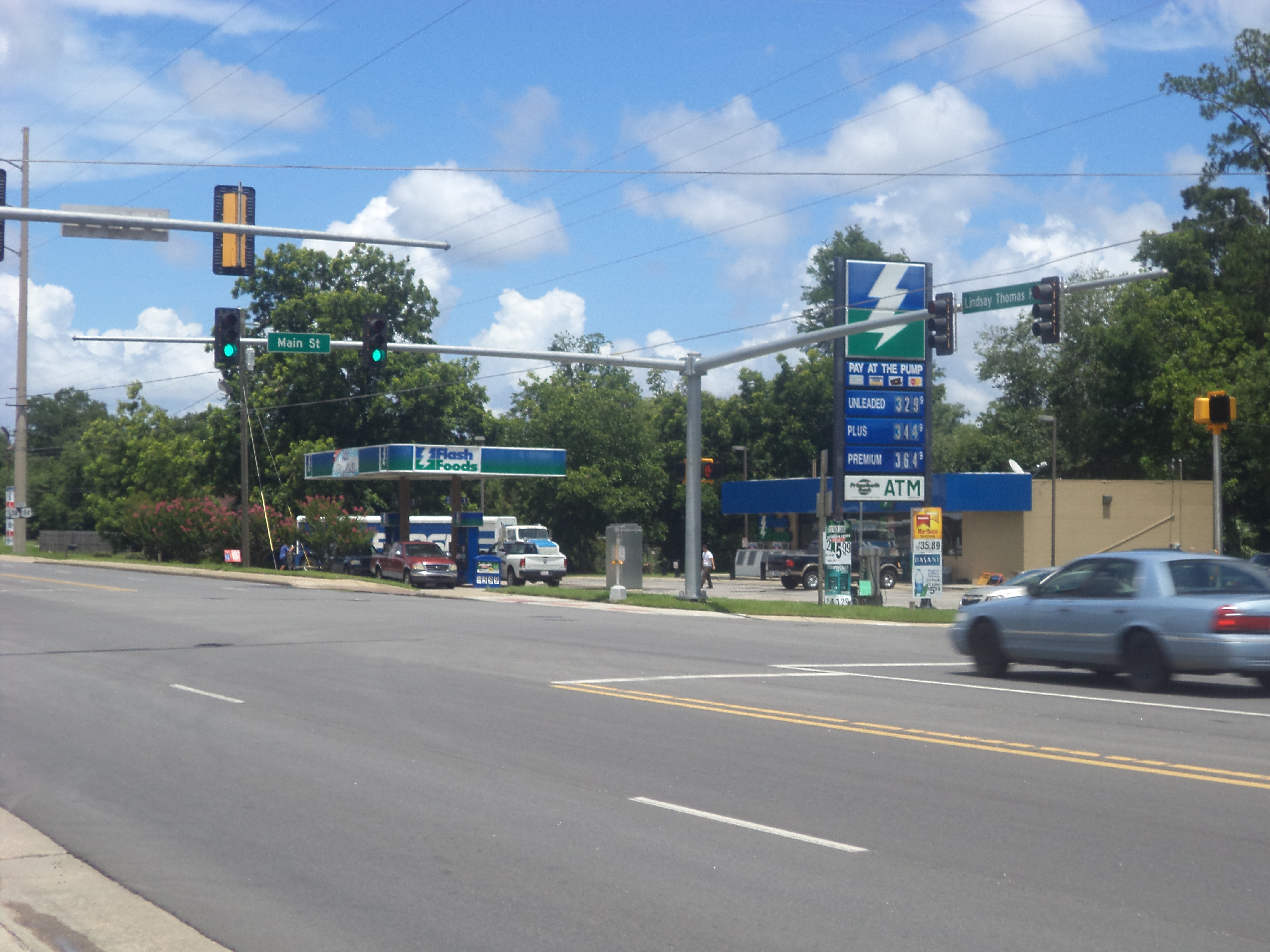
Flash Foods, Patterson
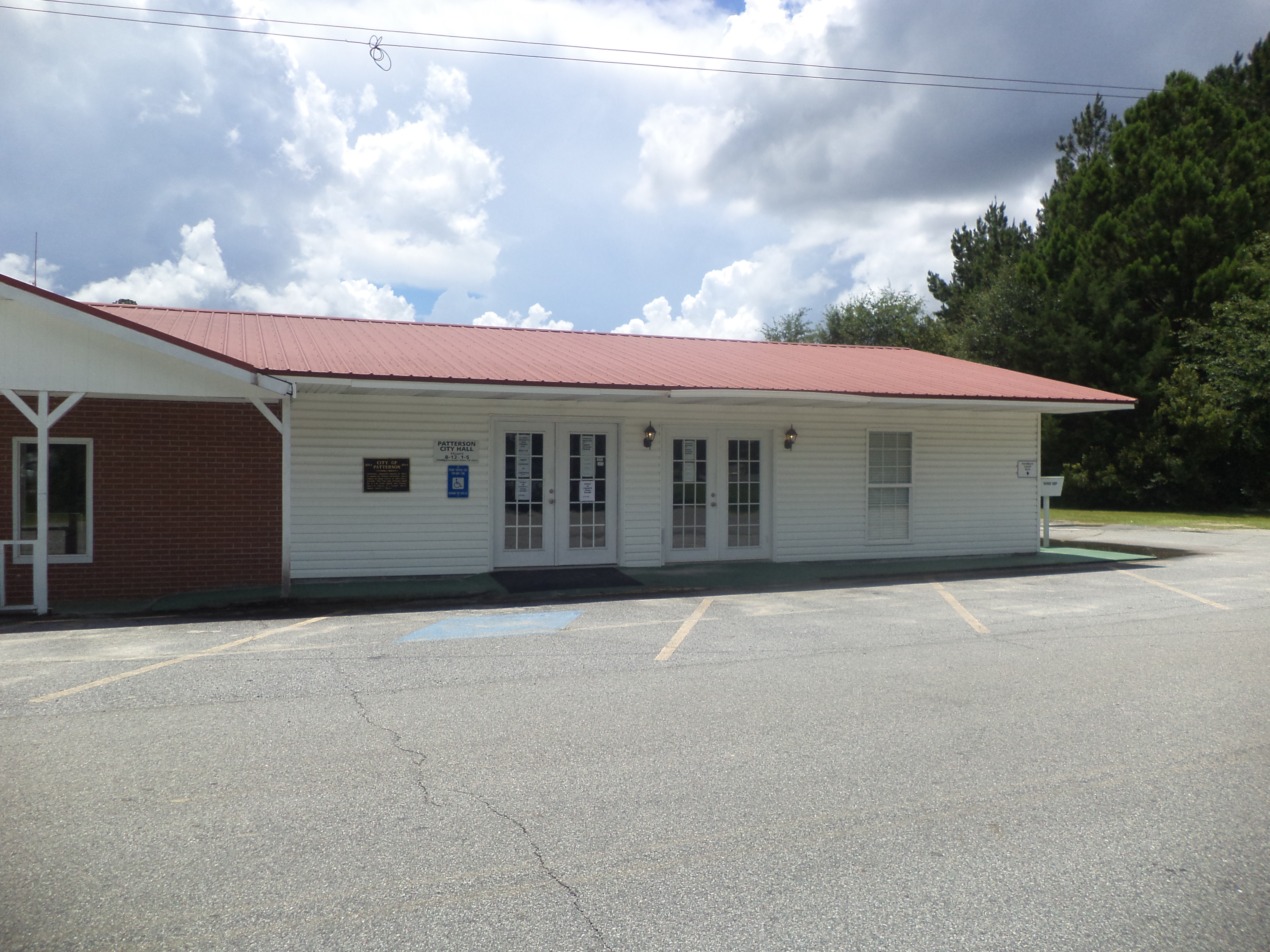
Patterson City Hall
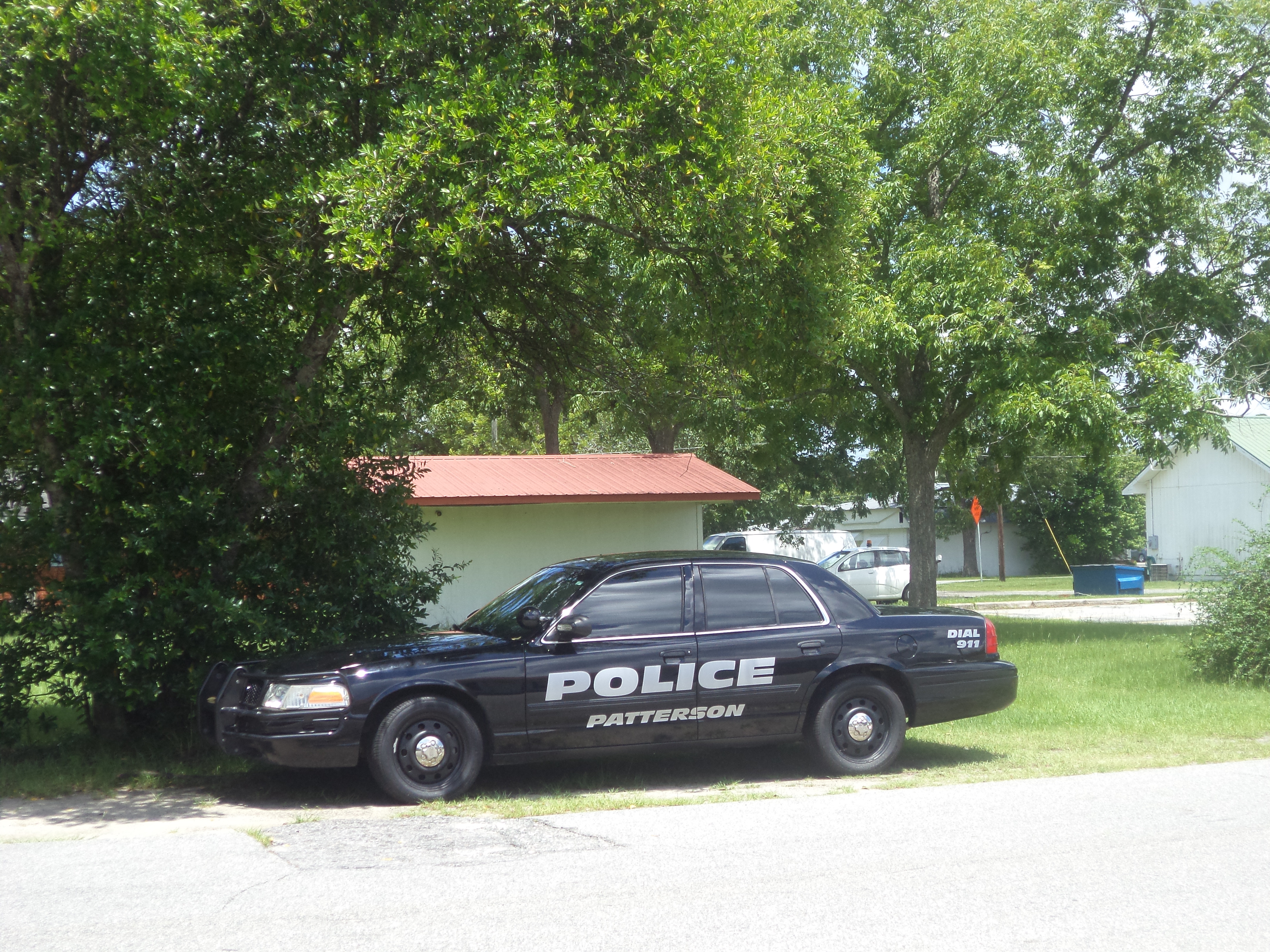
Patterson Police Car
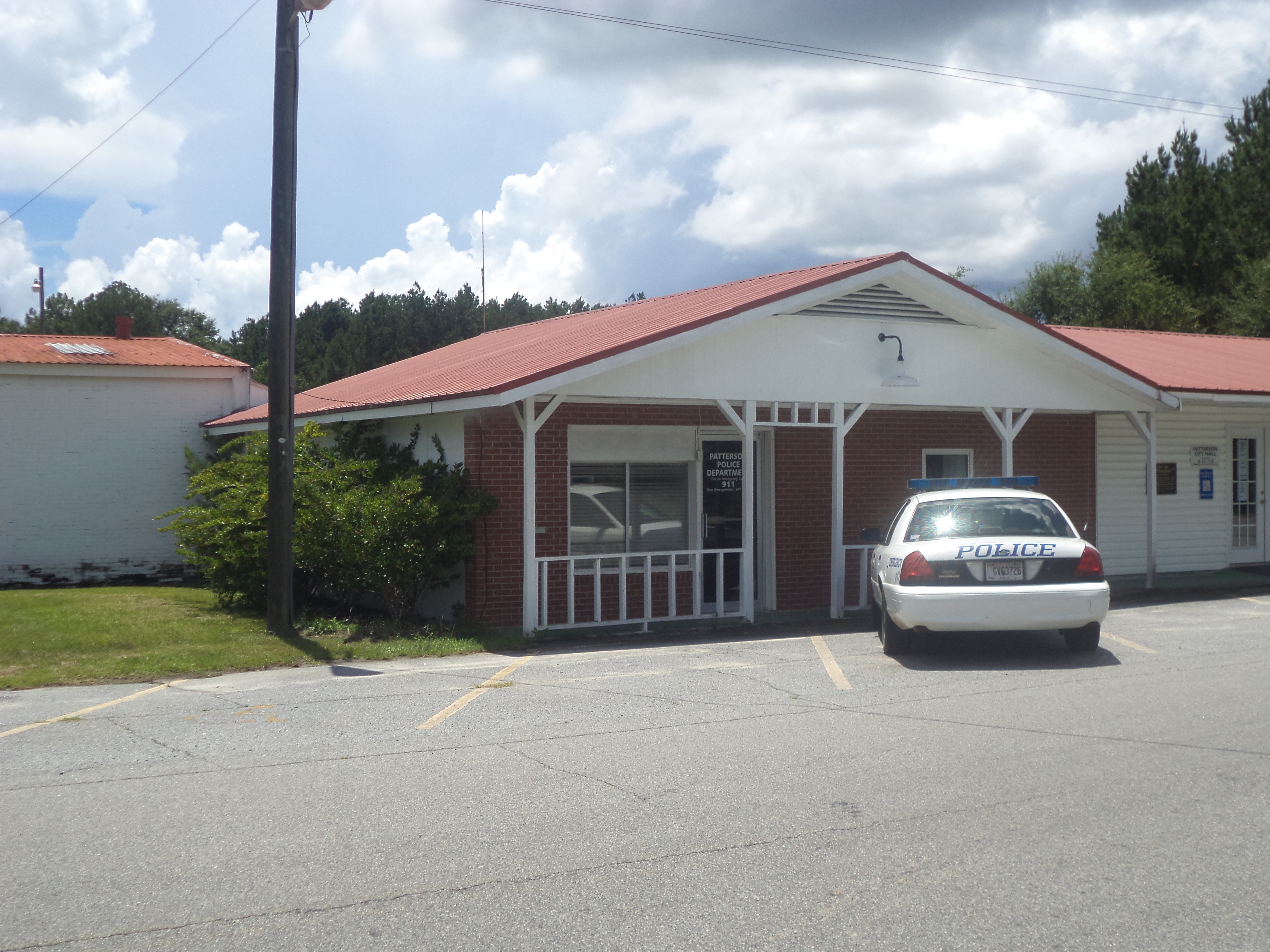
Patterson Police Department
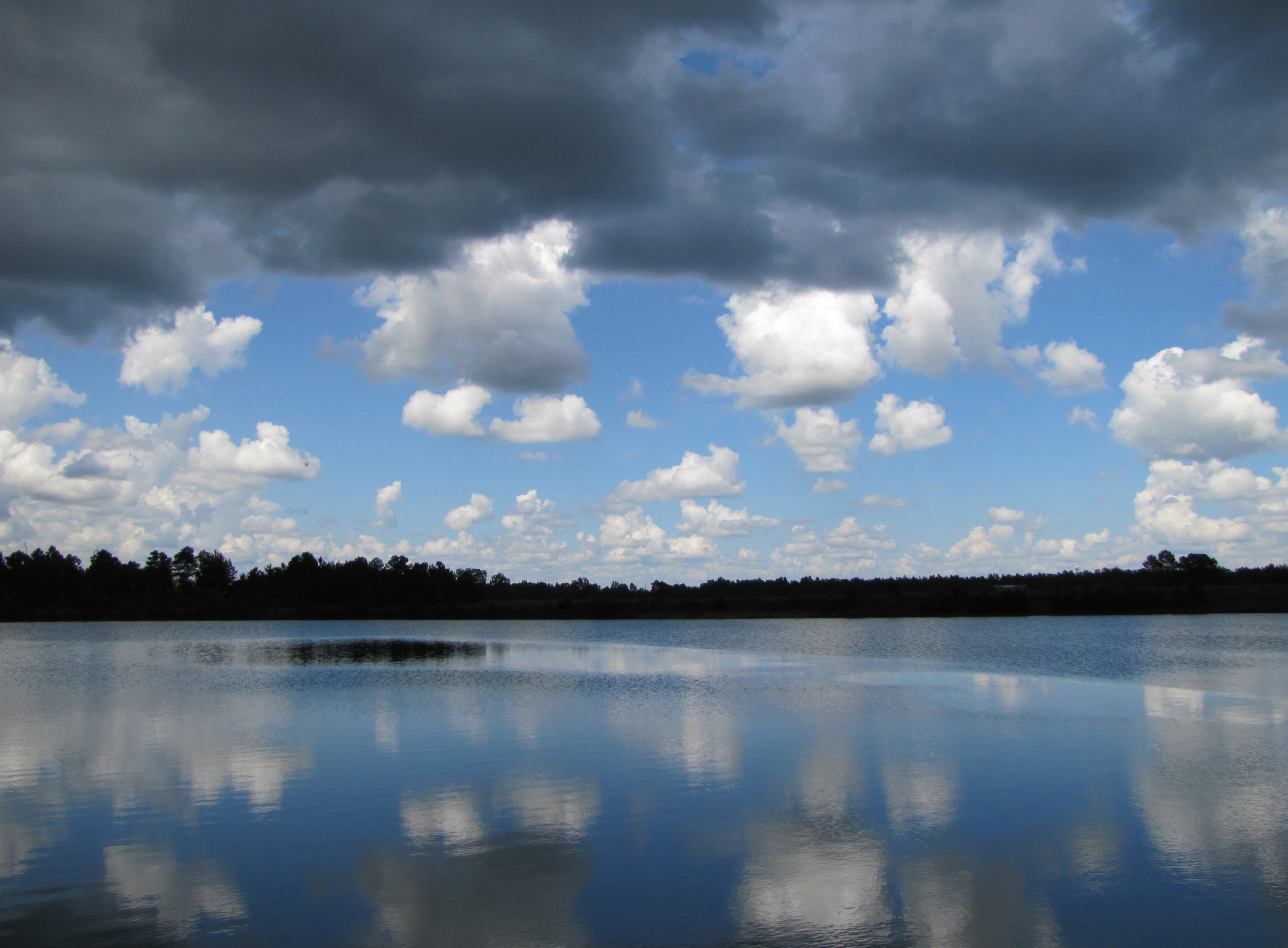
Calm before the storm

Okefenokee Swamp Trip

Okefenokee Swamp Trip

Okefenokee Swamp Trip

Okefenokee Swamp Trip

Okefenokee Swamp Trip

Okefenokee Swamp Trip

Okefenokee Swamp Trip
Okefenokee Swamp Trip

Okefenokee Swamp Trip
Topographic Map of Mershon, GA, USA
Find elevation by address:

Places in Mershon, GA, USA:
Places near Mershon, GA, USA:
Bristol
Deen Berry Ln, Mershon, GA, USA
4456 Alabaha Woods Dr
5650 Womack Rd
4979 Stanfield Rd
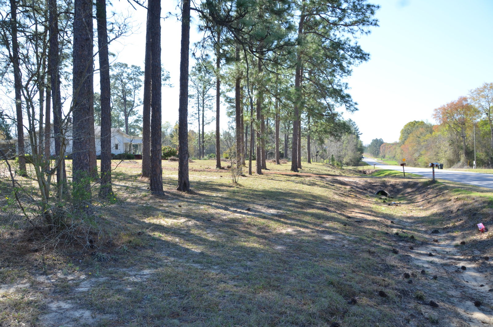
US-84, Patterson, GA, USA
Patterson
Pierce County
499 Sawmill Rd
GA-38, Patterson, GA, USA
Blackshear
GA-, Screven, GA, USA
Owens Rd, Blackshear, GA, USA
1107 College Ave
Stanfield Rd, Patterson, GA, USA
US-84, Blackshear, GA, USA
Bacon County
Dean Still Rd, Blackshear, GA, USA
4281 White Tail Way
3244 Midway Church Rd
Recent Searches:
- Elevation of Corso Fratelli Cairoli, 35, Macerata MC, Italy
- Elevation of Tallevast Rd, Sarasota, FL, USA
- Elevation of 4th St E, Sonoma, CA, USA
- Elevation of Black Hollow Rd, Pennsdale, PA, USA
- Elevation of Oakland Ave, Williamsport, PA, USA
- Elevation of Pedrógão Grande, Portugal
- Elevation of Klee Dr, Martinsburg, WV, USA
- Elevation of Via Roma, Pieranica CR, Italy
- Elevation of Tavkvetili Mountain, Georgia
- Elevation of Hartfords Bluff Cir, Mt Pleasant, SC, USA