Elevation of Stanfield Rd, Patterson, GA, USA
Location: United States > Georgia > Pierce County > Patterson >
Longitude: -82.134291
Latitude: 31.3236049
Elevation: 40m / 131feet
Barometric Pressure: 101KPa
Elevation Map:
Satellite Map:
Related Photos:

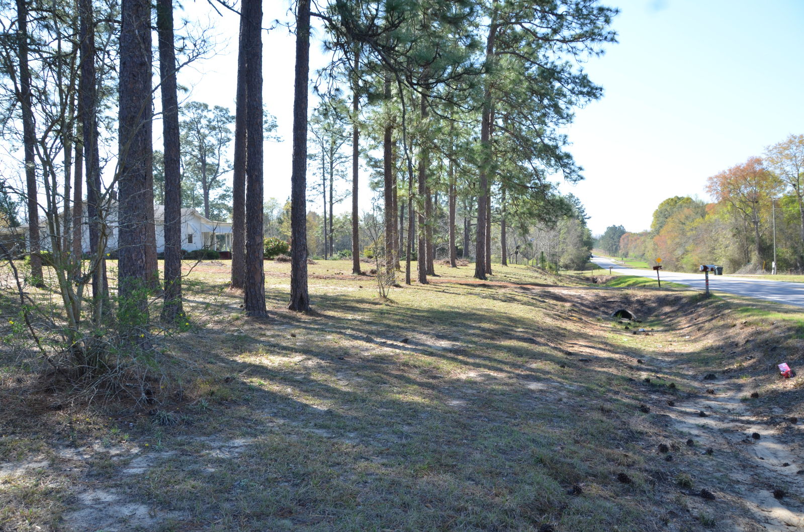
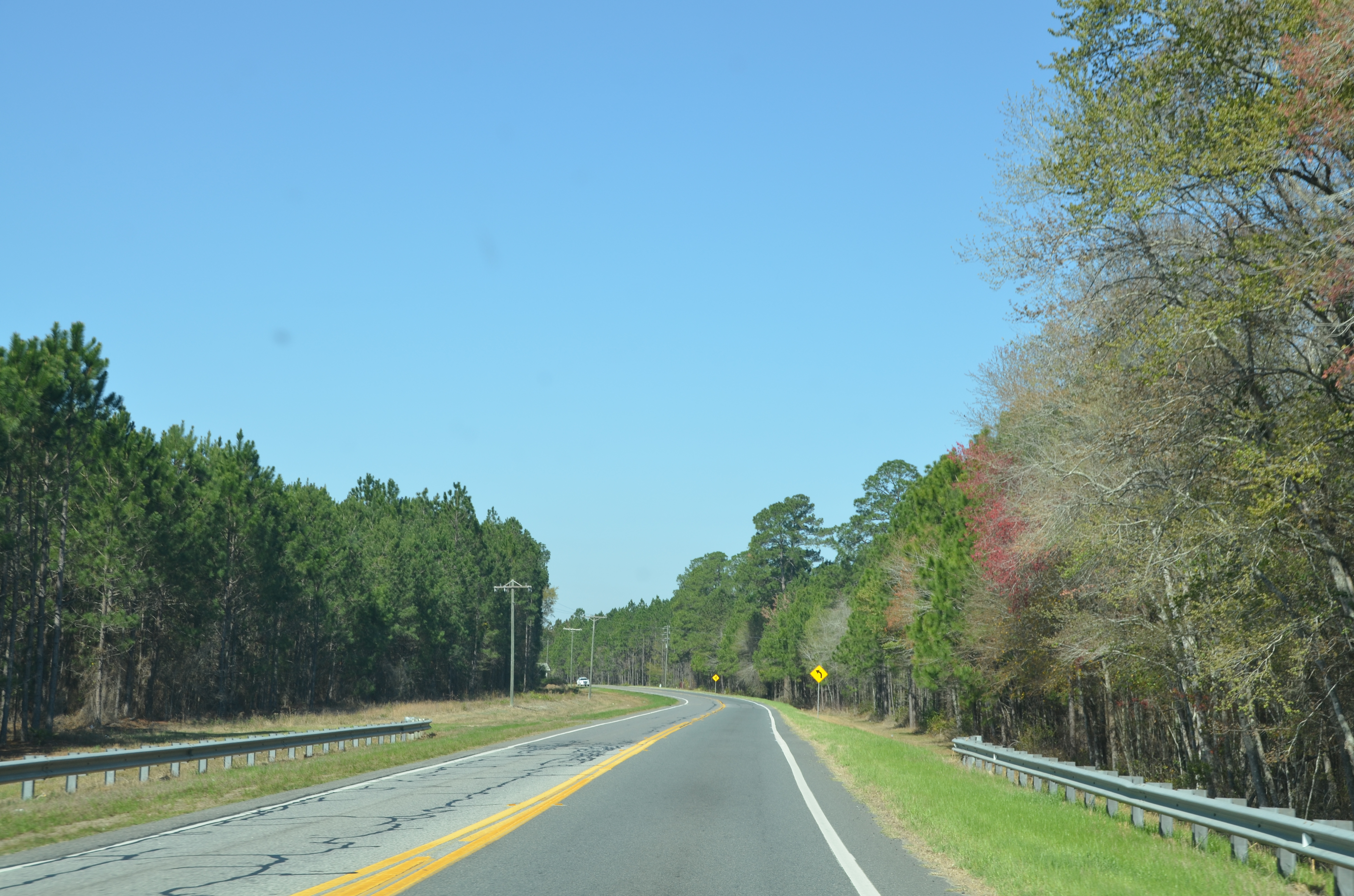
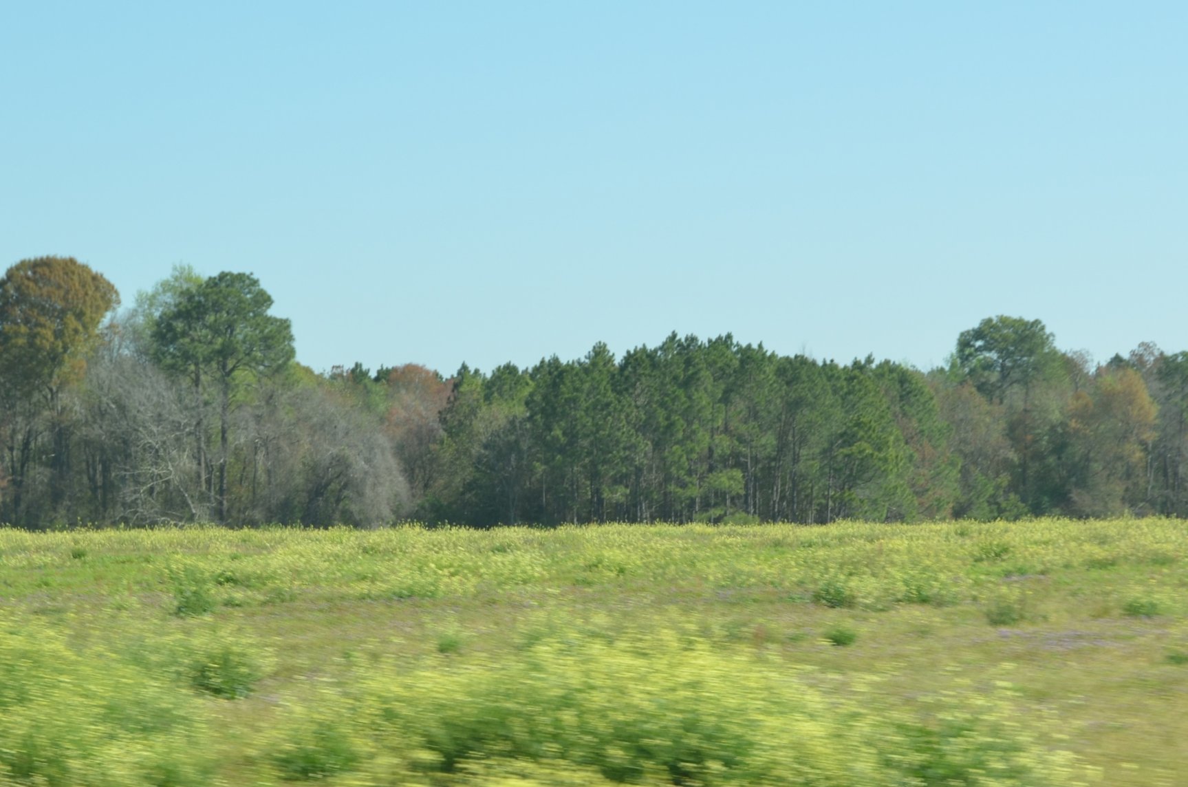
Okefenokee Swamp Trip
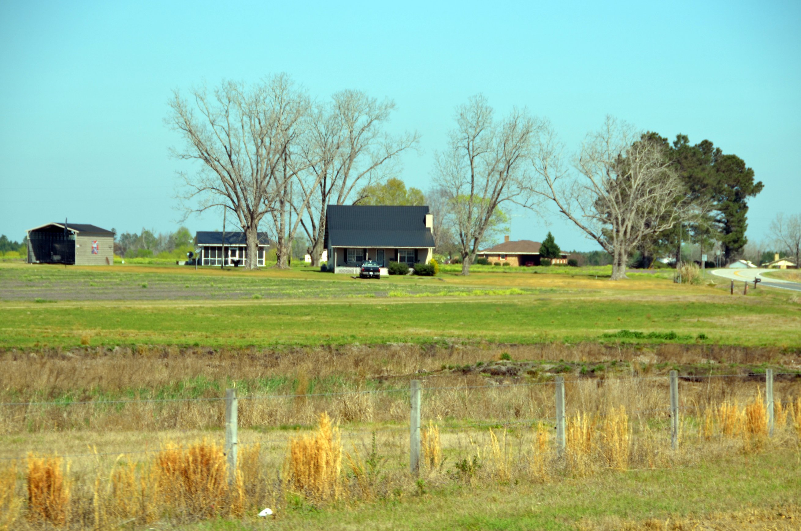
Okefenokee Swamp Trip
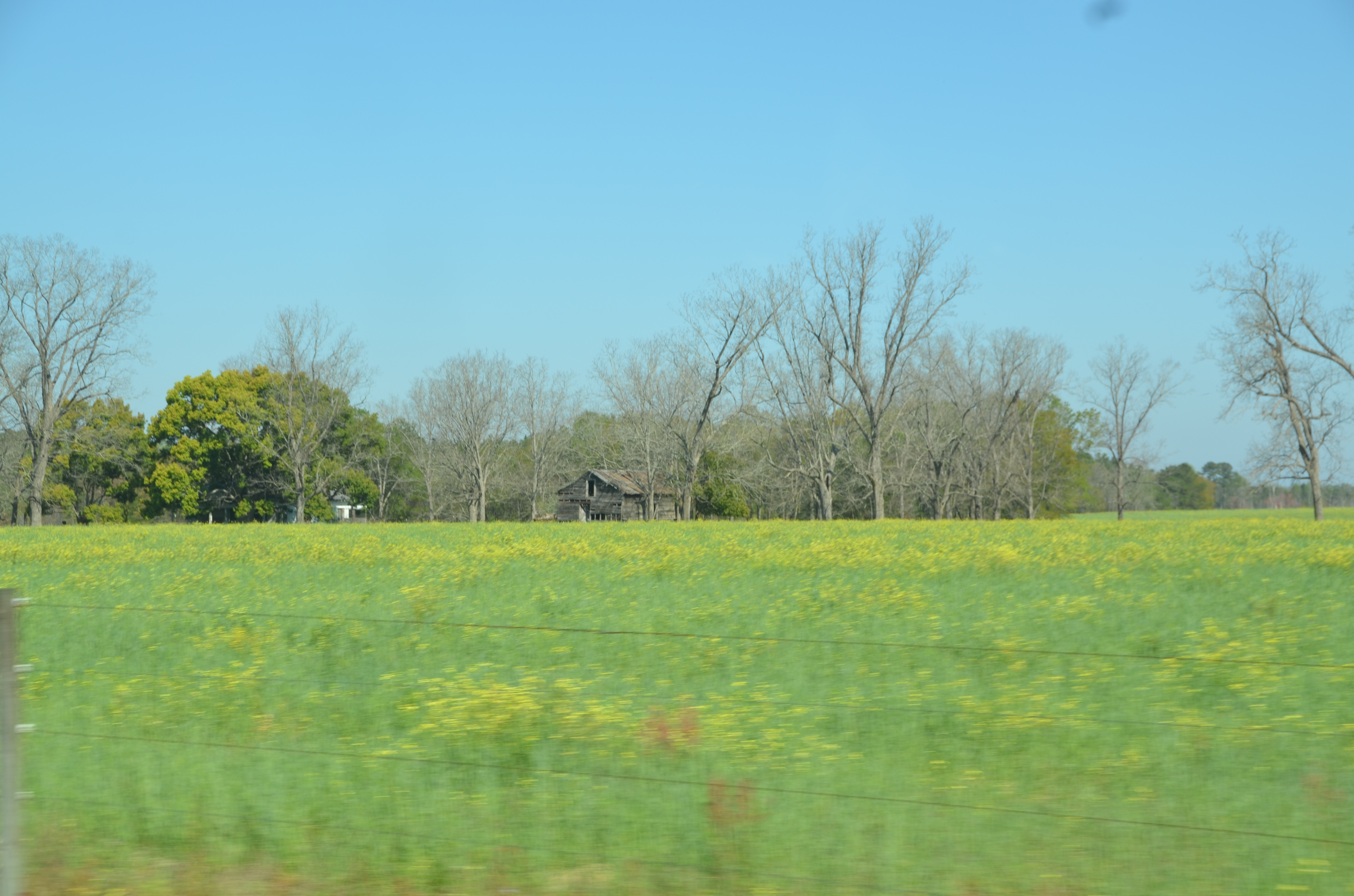
Okefenokee Swamp Trip
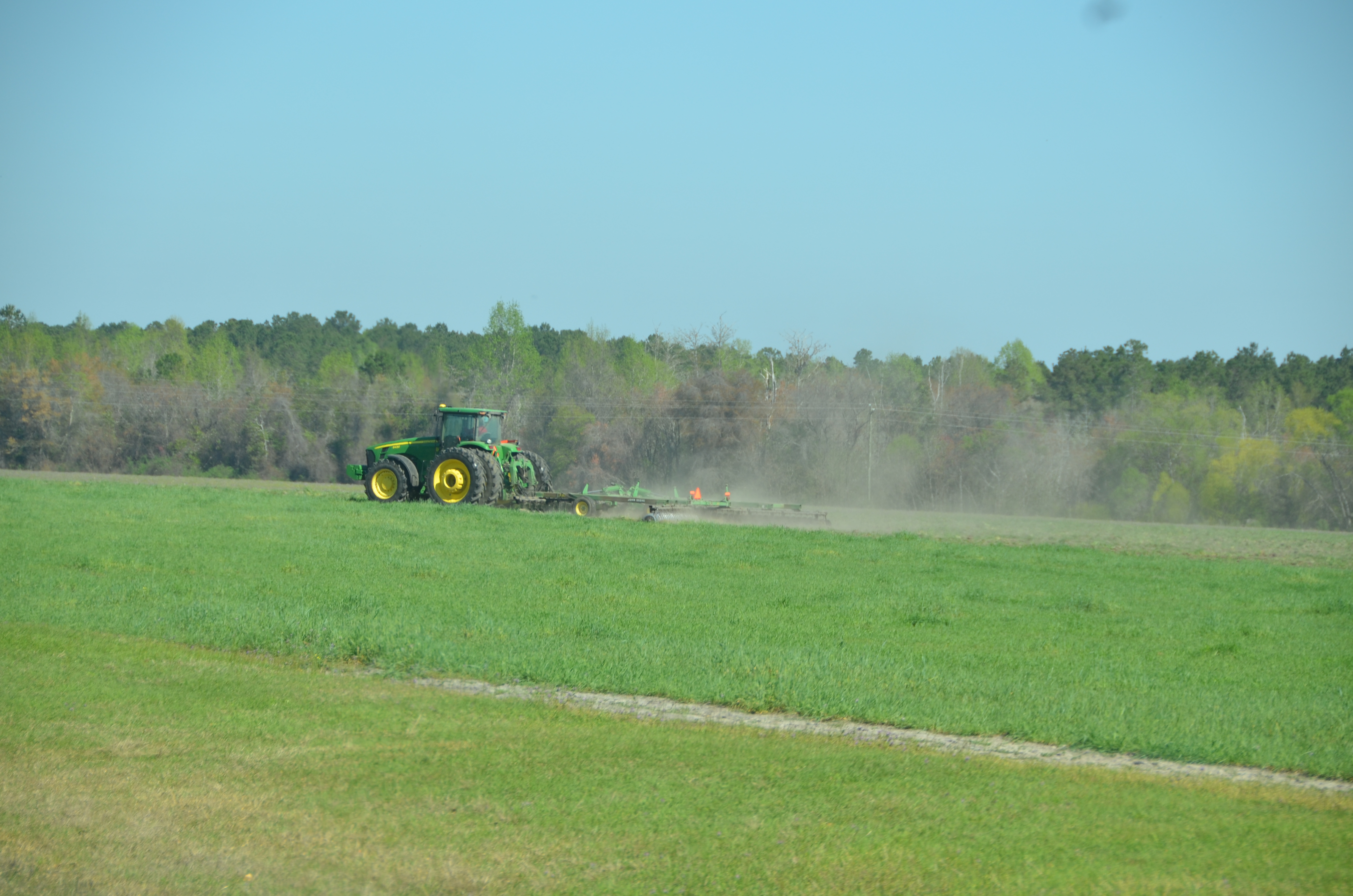
Okefenokee Swamp Trip

Okefenokee Swamp Trip
Okefenokee Swamp Trip
DSC_1308.JPG
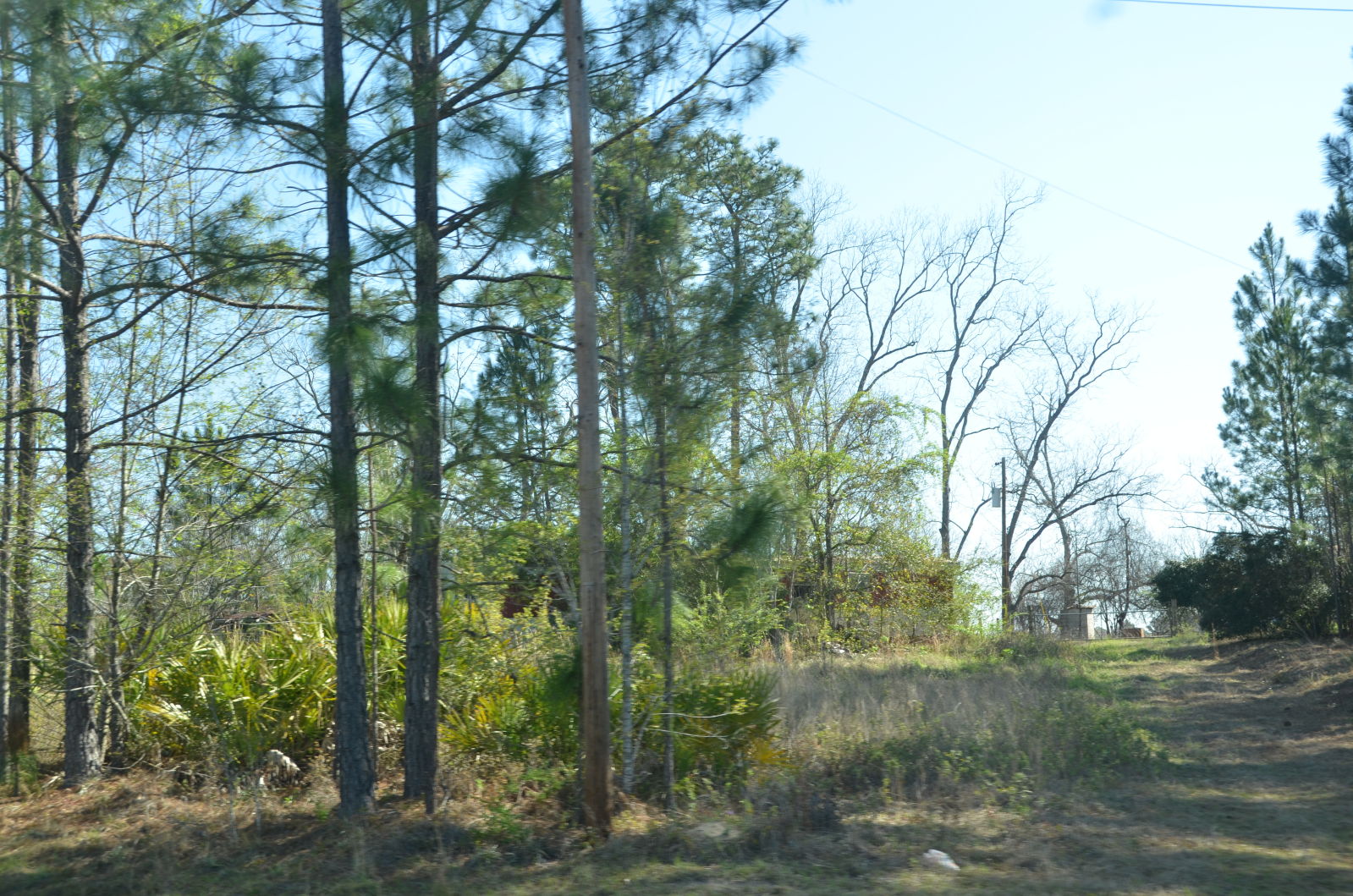
Okefenokee Swamp Trip
Okefenokee Swamp Trip

DSC_1309.JPG
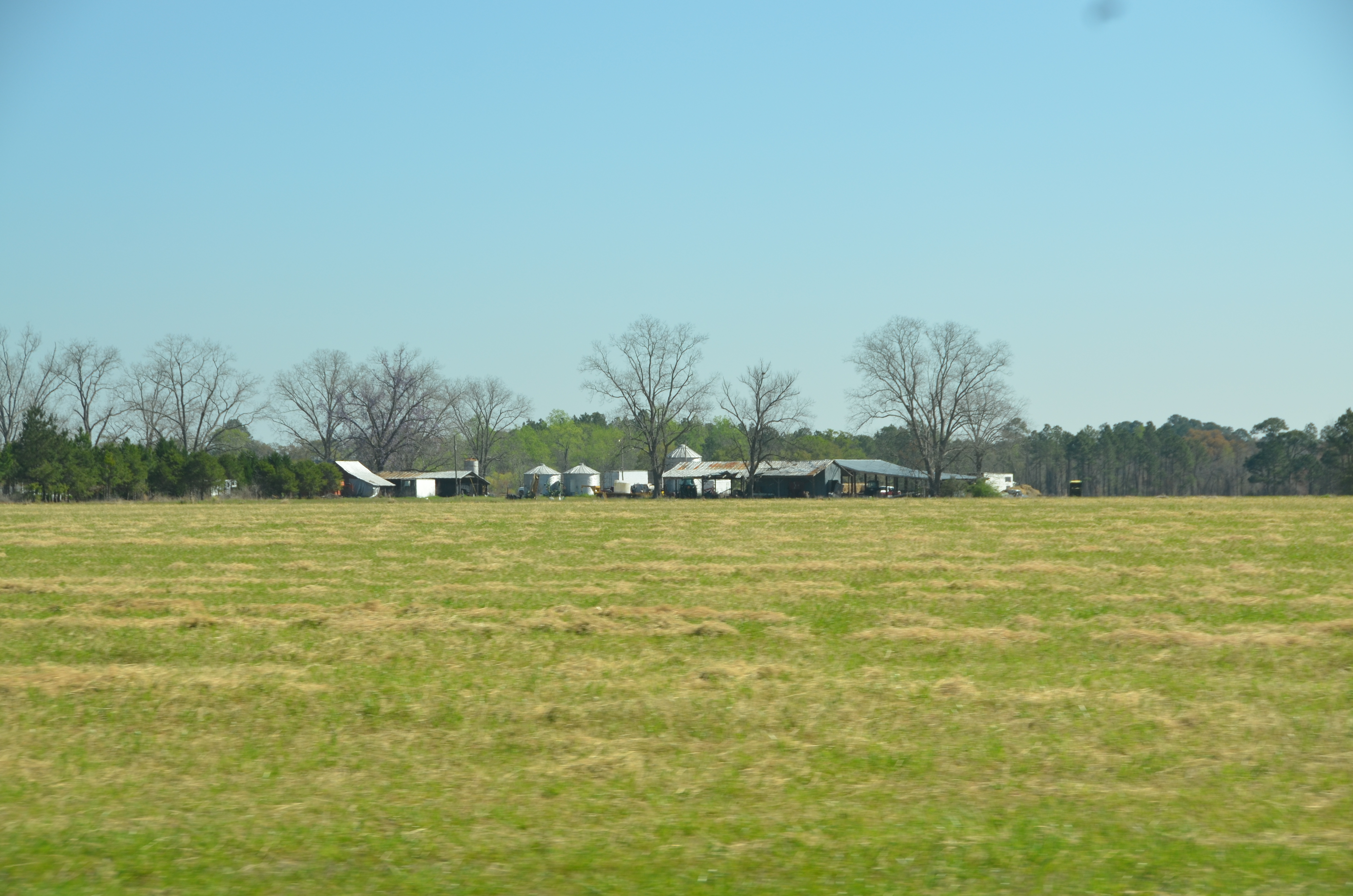
Okefenokee Swamp Trip
Topographic Map of Stanfield Rd, Patterson, GA, USA
Find elevation by address:

Places near Stanfield Rd, Patterson, GA, USA:
Owens Rd, Blackshear, GA, USA
Pierce County
US-84, Patterson, GA, USA
Patterson
GA-38, Patterson, GA, USA
4456 Alabaha Woods Dr
4281 White Tail Way
1107 College Ave
Blackshear
5650 Womack Rd
Dean Still Rd, Blackshear, GA, USA
6643 Pine Ridge Cir
Brantley Ave, Hoboken, GA, USA
Hoboken
430 Nebraska Rd
Bristol
US-84, Blackshear, GA, USA
5110 Taylor Rd
3244 Midway Church Rd
Raybon Rd W, Nahunta, GA, USA
Recent Searches:
- Elevation of Kambingan Sa Pansol Atbp., Purok 7 Pansol, Candaba, Pampanga, Philippines
- Elevation of Pinewood Dr, New Bern, NC, USA
- Elevation of Mountain View, CA, USA
- Elevation of Foligno, Province of Perugia, Italy
- Elevation of Blauwestad, Netherlands
- Elevation of Bella Terra Blvd, Estero, FL, USA
- Elevation of Estates Loop, Priest River, ID, USA
- Elevation of Woodland Oak Pl, Thousand Oaks, CA, USA
- Elevation of Brownsdale Rd, Renfrew, PA, USA
- Elevation of Corcoran Ln, Suffolk, VA, USA