Elevation of Merkamp Rd, Centerville, IN, USA

Location: United States > Indiana > Wayne County > Center Township > Centerville >

Longitude: -85.003767

Latitude: 39.7594179

Elevation: 327m / 1073feet

Barometric Pressure: 97KPa

Elevation Map:

elevation map of Merkamp Rd, Centerville, IN, USA

Satellite Map:

Satellite map of Merkamp Rd, Centerville, IN, USA

Related Photos:

road urban plant abandoned window glass us factory decay doug indiana richmond national 40 exploration cracked natco waggoner
Cracked Rear View
church buildings indiana stainedglass richmond tiffany waynecounty organizations waynet tiffanystudios reidmemorialpresbyterianchurch
View from the Balcony
architecture unitedstatesofamerica indiana richmond westside waynecounty nationalregisterofhistoricplaces waynecountyindiana organizations|buildings
David Worth Dennis House
night stars indiana richmond mansion secondempire waynecounty gaar nationalregisterofhistoricplaces photobyjane abramgaar holmanphotoscom gaarhouse holmanphotography
Stars over the Gaar Mansion
building architecture geotagged indiana richmond government waynecounty nationalregisterofhistoricplaces waynecountyindiana geo:lat=39828833 geo:lon=84895767 ecard|landmarks|government ecard|an~introduction|richmond~and~wayne~county
Wayne County, Indiana Courthouse in Spring
Richmond, IN
us unitedstates indiana richmond rhs waynecounty richmondhighschool waynet
View from the Bell Tower
court woodwork indiana places richmond government courthouse courtroom waynecounty photobyjane circuitcourt waynet holmanphotoscom holmanphotography
Juror's View
architecture geotagged indiana richmond government municipal municipalbuilding waynecounty waynecountyindiana citybuilding geo:lat=39829797 geo:lon=84895113 ecard|holidays~and~seasons|spring ecard|landmarks|government
Richmond, Indiana Municipal Building
school brick art education unitedstatesofamerica performing indiana richmond highschool garrett wpa boone foyer rhs civichall waynecounty reddevils waynecountyindiana
Civic Hall Performing Arts Center Foyer
camera trees house creek polaroid drive tim dad hill picture ken indiana richmond 80s van pike 1980s centerville abington putala 5hr
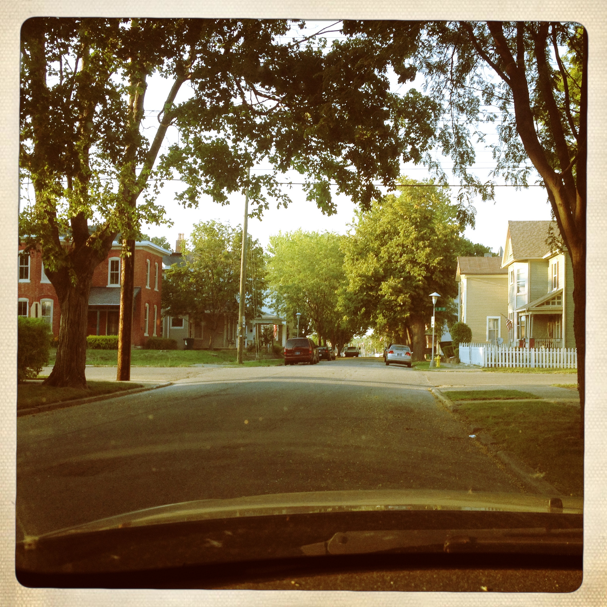
polaroid of my dads old house taken by me in the late 80's
architecture geotagged indiana richmond mansion secondempire waynecounty gaar nationalregisterofhistoricplaces waynecountyindiana gaarmansion geo:lat=39849238 geo:lon=84866488 ecard|holidays~and~seasons|christmas ecard|landmarks|mansions
Gaar Mansion at Christmas
trees fall farm wheat country farming indiana richmond scoreme46
Backlands Indiana
construction richmond grainelevator hagerstown metalfabrications rebsco
Hagerstown, Indiana project
reservoir richmond waynet wayne county indiana waynetorg park middlefork waynecounty
Expanded Deck and View at Middlefork Reservoir
ford wayne county indiana airplane richmond trimotor waynetorg transporation fordtrimotor waynecounty aerial
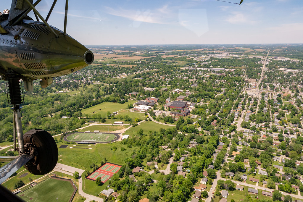
Aerial View of Earlham's Athletic Fields
ford wayne county indiana airplane richmond trimotor waynetorg transporation fordtrimotor waynecounty aerial school charles education
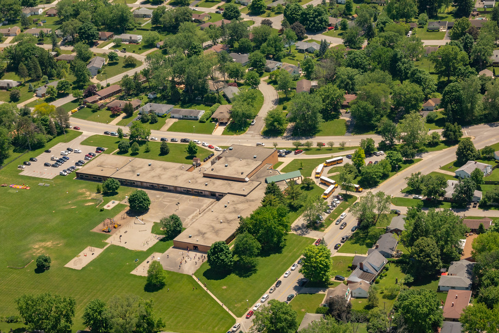
Aerial View of Charles Elementary School
reunion classphoto classof1987 20year earlhamcollege
Earlham College – Class of 1987
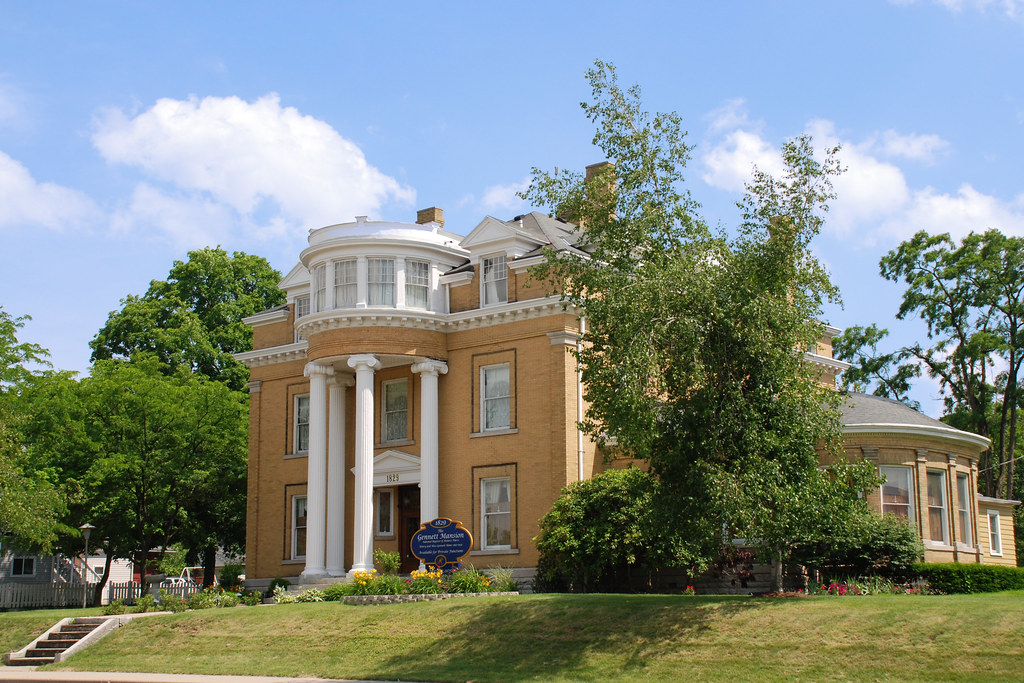
architecture geotagged pillar indiana richmond column mansion homepage starr waynecounty nationalregisterofhistoricplaces waynecountyindiana starrgennett gennett geo:lat=39829764 geo:lon=84877346 ecard|landmarks|mansions
The Gennett Mansion
noflash hipstamatic inas1969film jamesmlens
View from home
house architecture farmhouse victorian indiana richmond mansion secondempire mansard residentialarchitecture nationalregisterofhistoricplaces nrhp gaarmansion abramgaar agnesgaar
Gaar Mansion
indiana arboretum richmond hayes hayesarboretum photobyjane holmanphotoscom holmanphotography
Garfield Arch
park water waterfall unitedstates wayne indiana falls richmond whitewaterriver springwood thistlethwaite thisthlewaitefalls countywayne countywaynecountyindianaindiana countyindianaindiana thisthlewaite waynecountyspringwoodthisthlewaitethisthlewaite
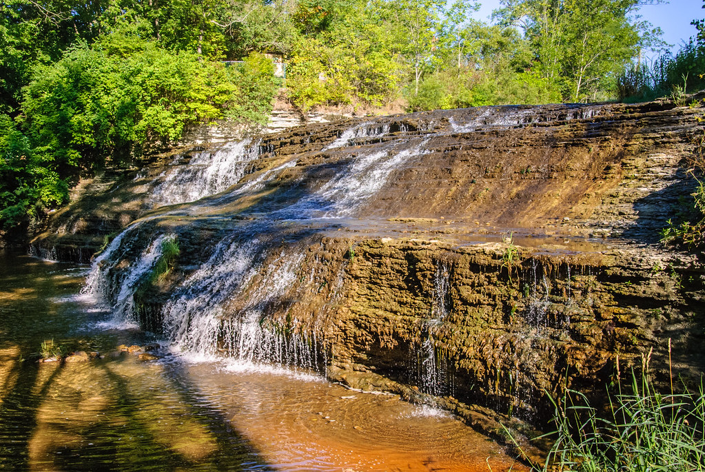
Thistlethwaite Falls
autumn friends fall buildings unitedstates indiana richmond quaker waynecounty seniorhousing organizations waynet friendsfellowship friendsfellowshipcommunity
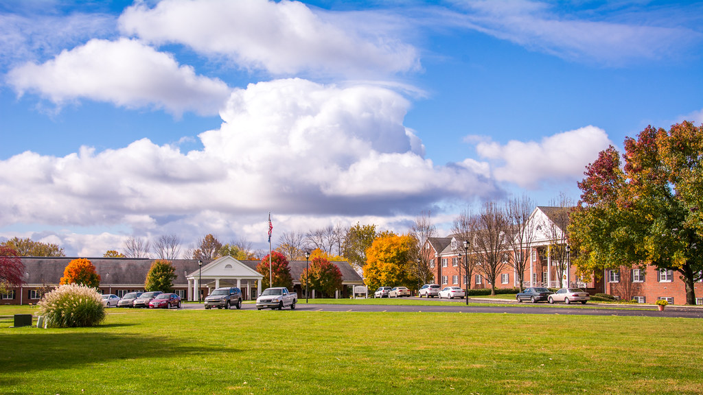
Friends Fellowship Community
ford wayne county indiana airplane richmond trimotor waynetorg transporation fordtrimotor waynecounty aerial rhs highschool football belltower gorge
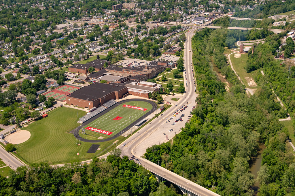
Aerial View of Richmond High School Campus
autumn light sunset sun nature beautiful campus back peace bokeh earth mother indiana richmond gree earlham
The Sun Goes Down
field watertower indiana soybeans waynecounty photobyjane holmanphotoscom holmanphotography
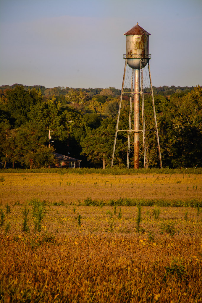
Old-Fashioned Water Tower
square squareformat iphoneography instagramapp uploaded:by=instagram foursquare:venue=4eed624a0cd61458131fe25b
December 12, 2014
Potash Sunset
square squareformat iphoneography instagramapp uploaded:by=instagram foursquare:venue=4eed624a0cd61458131fe25b
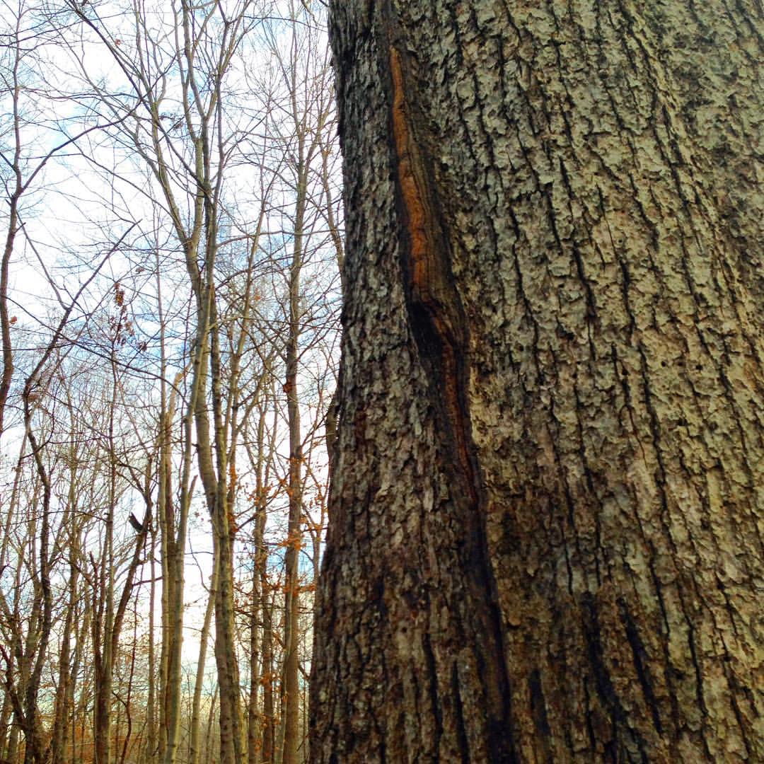
#nature #trees #Indiana #Midwest #365project #365travpol
square squareformat iphoneography instagramapp uploaded:by=instagram
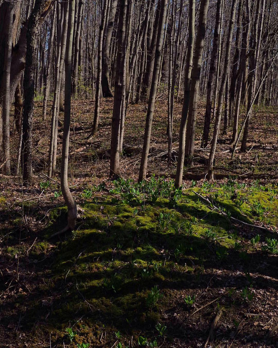
#naturephotography #springtime
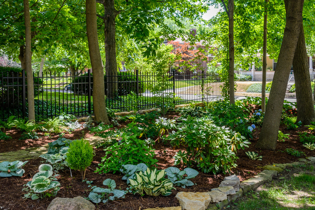
garden indiana richmond ram waynecounty richmondartmuseum waynet secretgardentour
Shade Garden
square squareformat iphoneography instagramapp uploaded:by=instagram
#naturephotography #Indiana #midwest #wetlands
trip orange white color truck unitedstates transport indiana roadtrip stop i70 restarea 2014 greensfork
Truck Transport (DTB_0306)
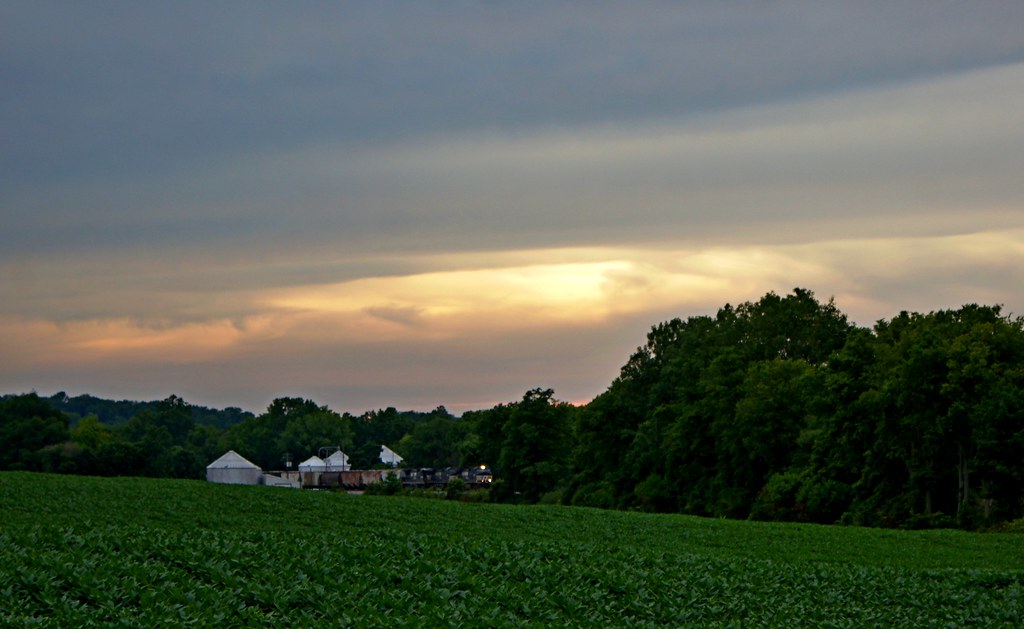
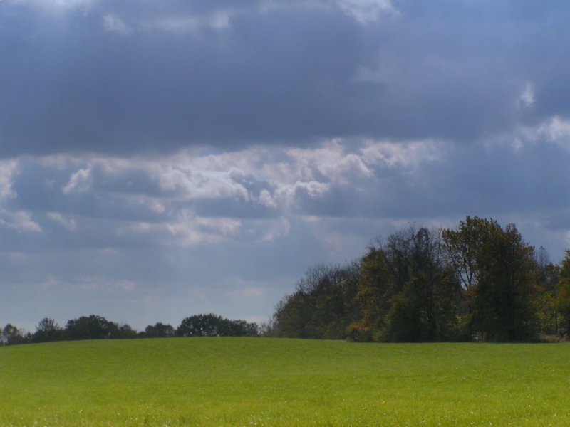
sky tree field geotagged indiana geo:lat=39777827 geo:lon=84942625
Field and Sky
cambridgecity indiana unitedstates usa
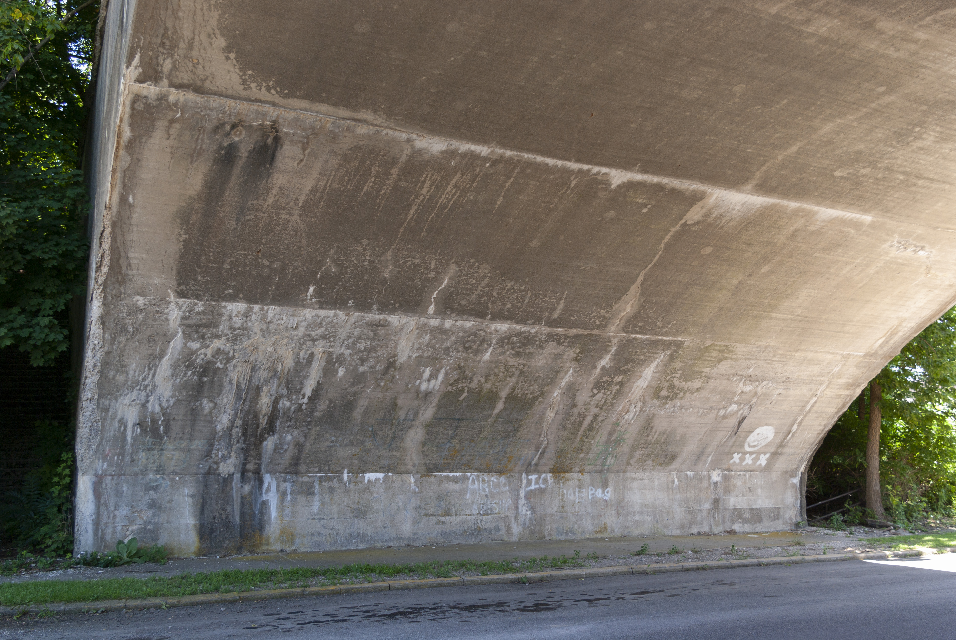
Abandoned rail overpass
sky moon fall buildings twilight unitedstates indiana richmond government courthouse waynecounty organizations waynet
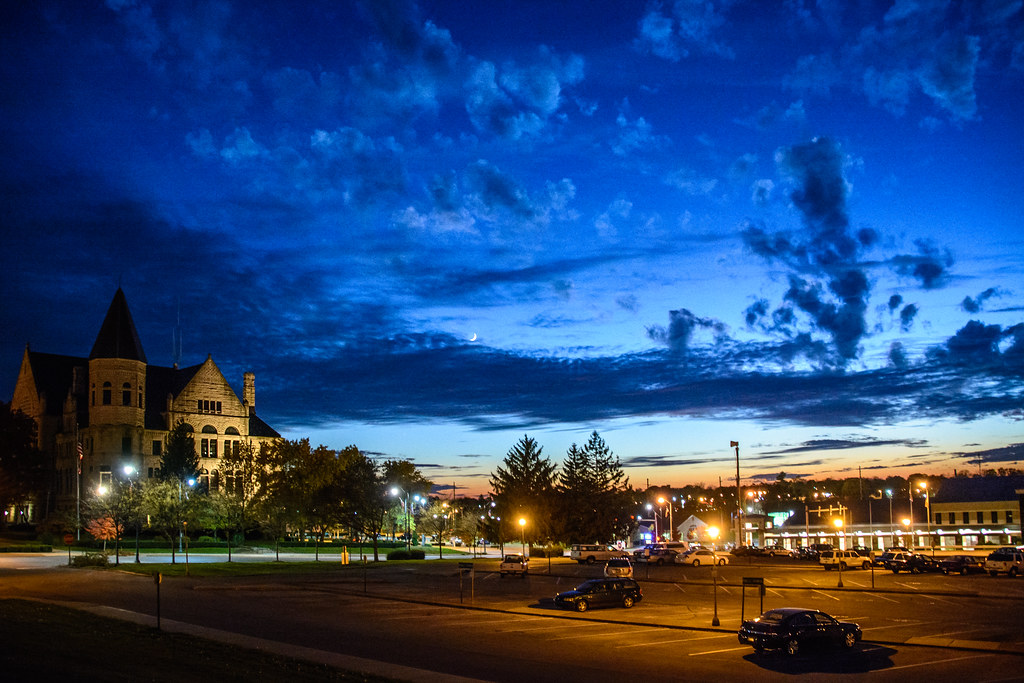
Government Campus at Twilight
fall country waynecounty richmond
The Field
park county fall leaves yellow rural wayne indiana glen miller waynecounty glenmillerpark waynet
Fall at Glen Miller Park