Elevation of Center Township, IN, USA
Location: United States > Indiana > Wayne County >
Longitude: -85.002553
Latitude: 39.8122421
Elevation: 305m / 1001feet
Barometric Pressure: 98KPa
Elevation Map:
Satellite Map:
Related Photos:
Gaar Mansion at Christmas

Pepper the black Pug puppy! [DO NO STEAL THIS!]

Cracked Rear View
Backlands Indiana
View from the Balcony
David Worth Dennis House
View North Across the Gorge

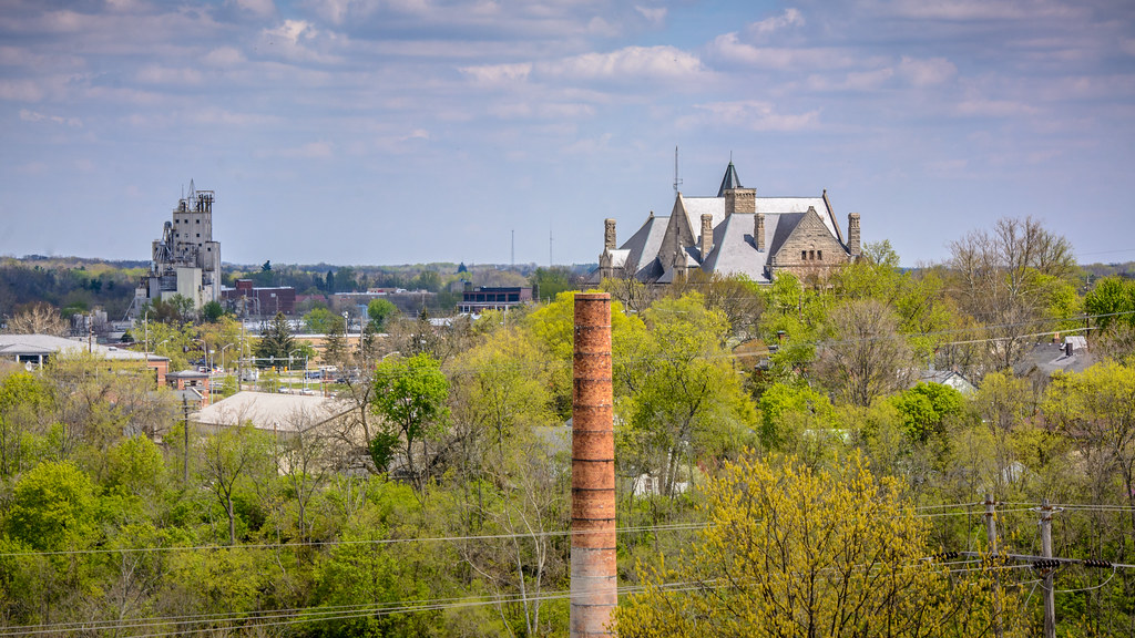
Wayne County, Indiana Courthouse in Spring

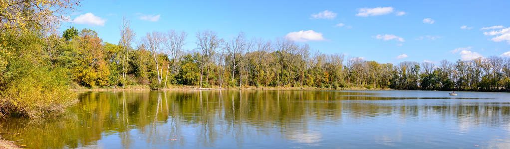
Springwood Lake

View from the Bell Tower
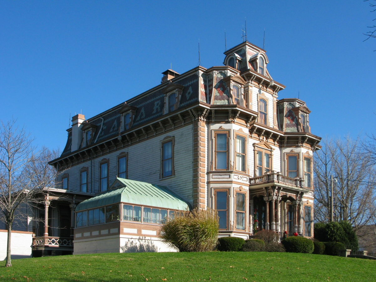
Gaar Mansion
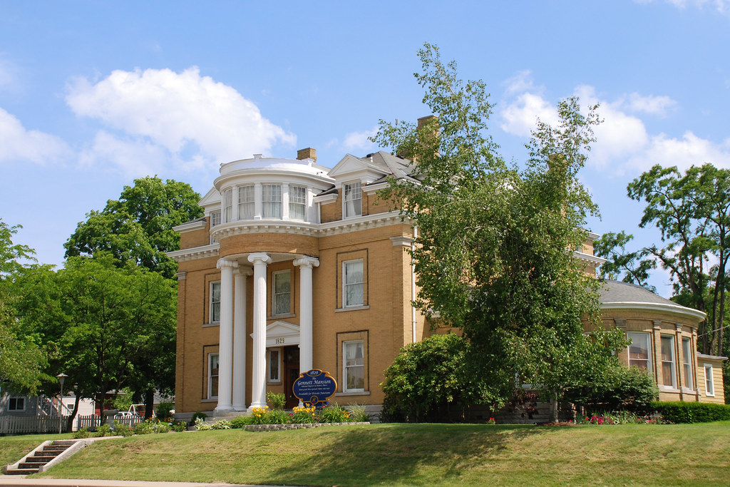
The Gennett Mansion
View from home

polaroid of my dads old house taken by me in the late 80's

Gaar Mansion
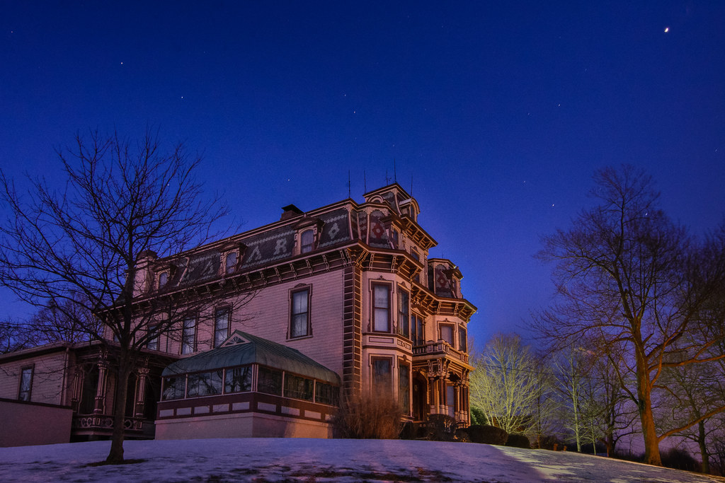
Stars over the Gaar Mansion

Earlham College – Class of 1987
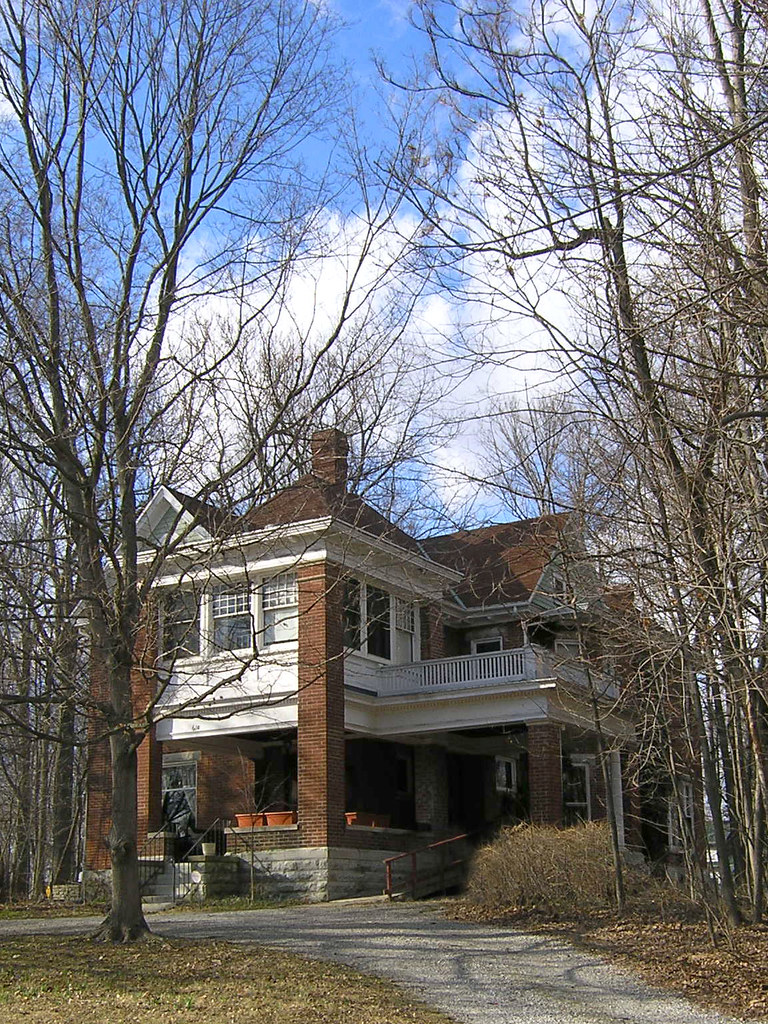
David Worth Dennis Home
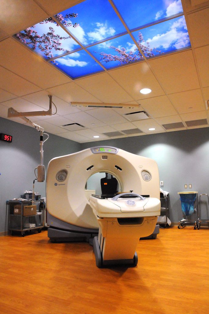
MRI at Reid Hospital

Pepper the thug pug
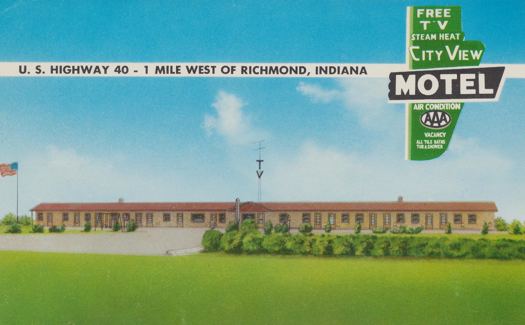
City View Motel - Richmond, Indiana

The Sun Goes Down
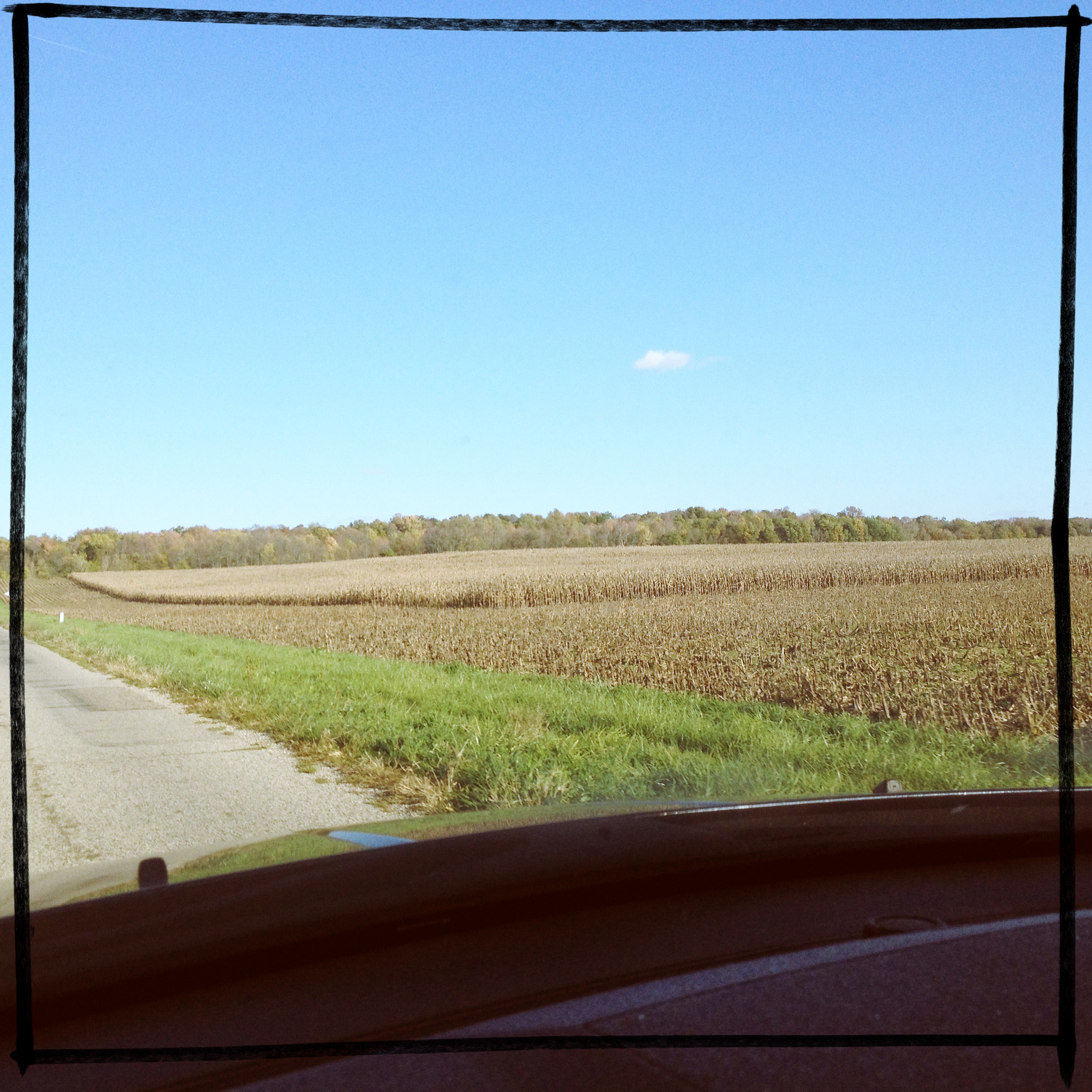
If you look at this picture 300 times, you have pretty much experienced a car ride through Indiana. #roadtrip

#mallards

December 12, 2014
Martindale State Fishing Area
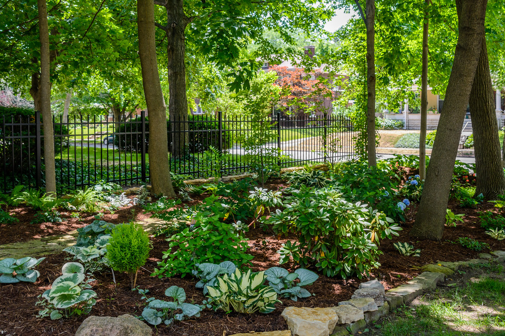
Shade Garden

Truck Transport (DTB_0306)
untitled-7.jpg
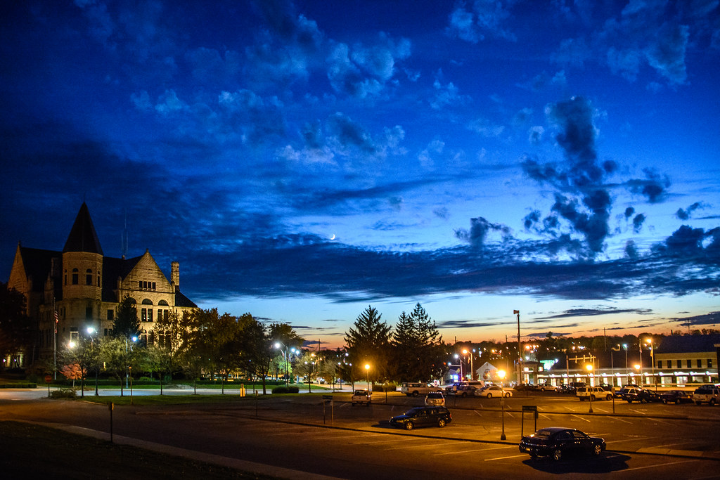
Government Campus at Twilight

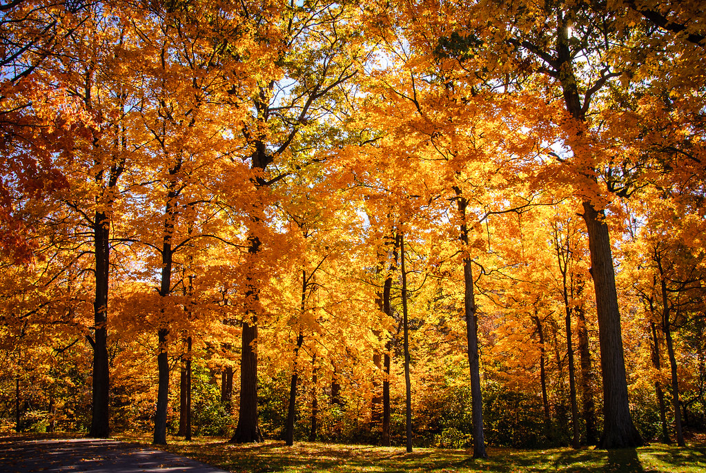
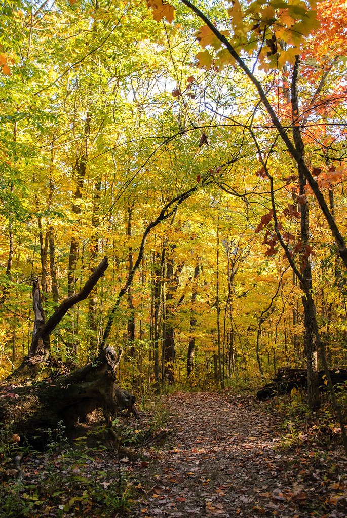
Fall Lane
Fall at Glen Miller Park

Airy Blue Flowers
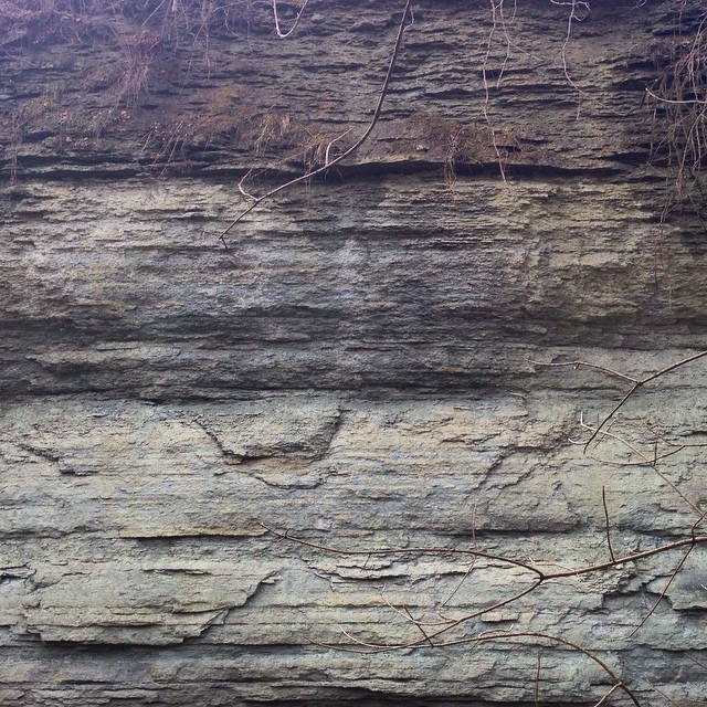
Ordovician cliffs
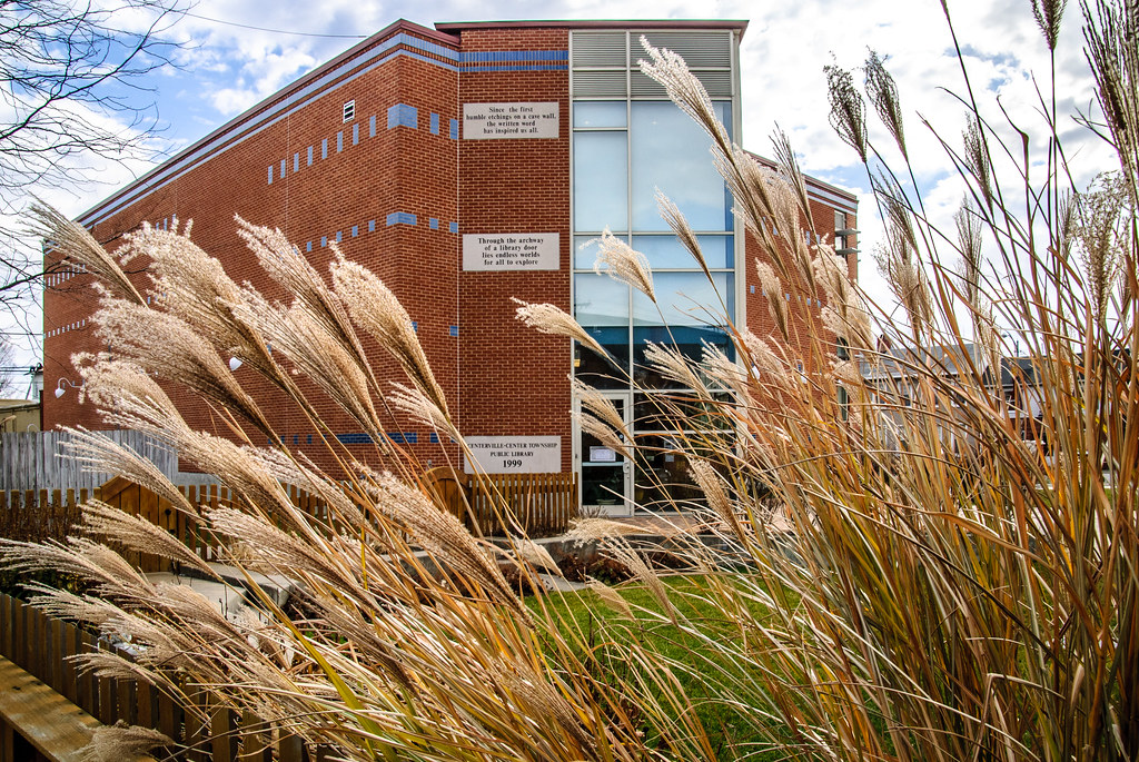
Centerville Library - New Addition
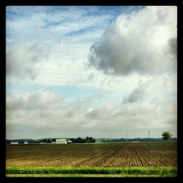
Fall fields

Flooding in Wayne County, Indiana
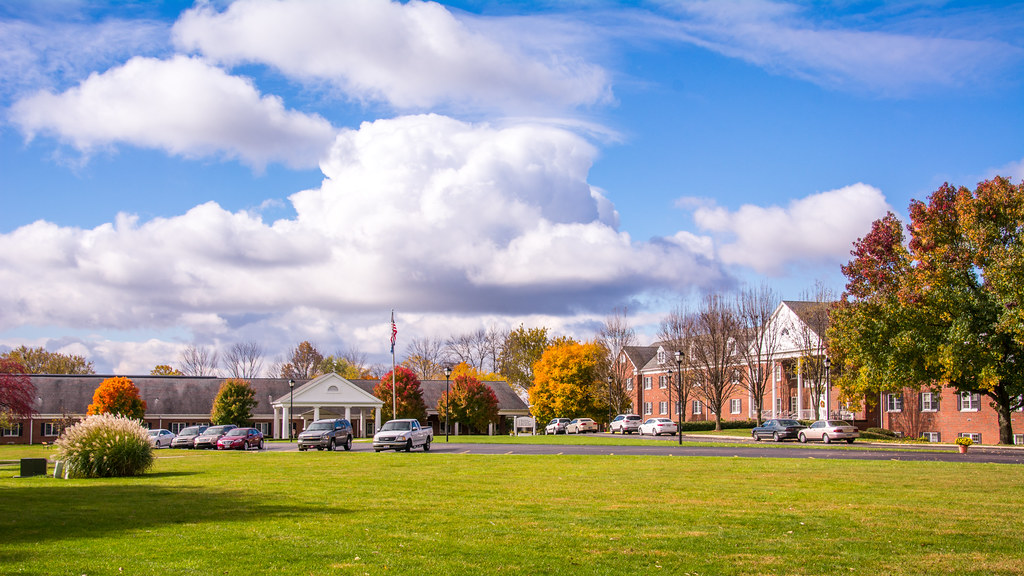
Friends Fellowship Community
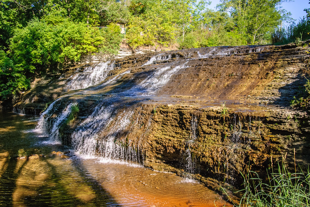
Thistlethwaite Falls
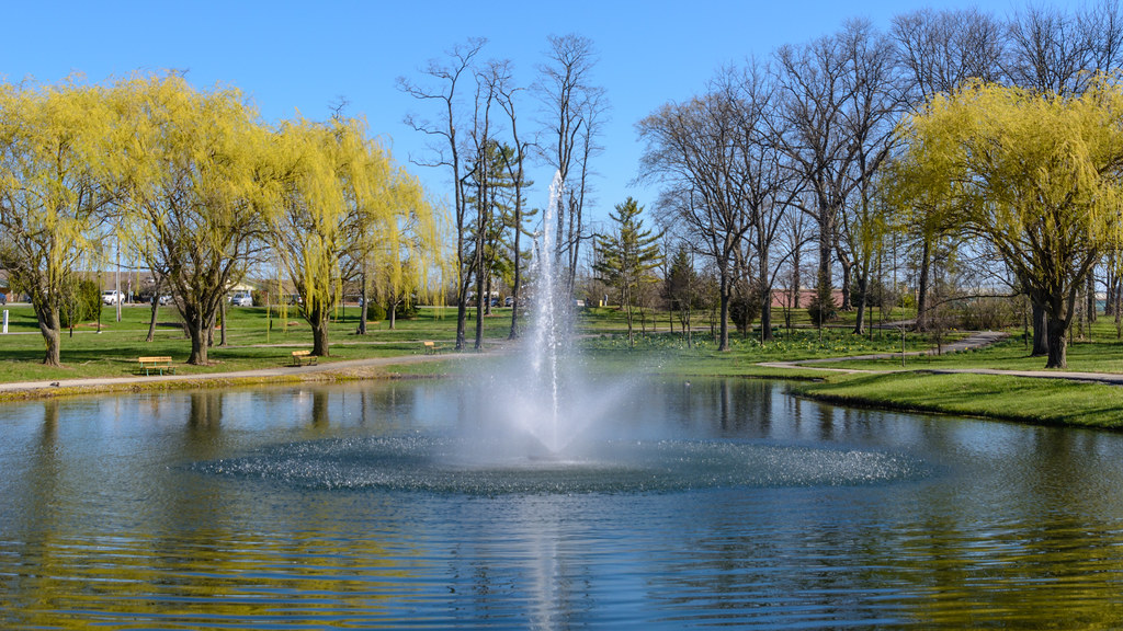
Pond Fountain at Friends Fellowship Community
Hiking Path at Cope Environmental Center
Topographic Map of Center Township, IN, USA
Find elevation by address:

Places in Center Township, IN, USA:
Places near Center Township, IN, USA:
W Main St, Centerville, IN, USA
Centerville
Wayne County
Grove Rd, Centerville, IN, USA
5679 Lead Line Rd
5047 Merkamp Rd
Foland Rd, Greens Fork, IN, USA
2450 Test Rd
Abington Township
US-40, Milton, IN, USA
28 NW 5th St, Richmond, IN, USA
N Washington Rd, Greens Fork, IN, USA
Abington Pike, Centerville, IN, USA
Greens Fork
1649 Rich Rd
908 College Ave
Clay Township
530 Indiana Ave
Linkay Place
Richmond, IN, USA
Recent Searches:
- Elevation of 15th Ave SE, St. Petersburg, FL, USA
- Elevation of Beall Road, Beall Rd, Florida, USA
- Elevation of Leguwa, Nepal
- Elevation of County Rd, Enterprise, AL, USA
- Elevation of Kolchuginsky District, Vladimir Oblast, Russia
- Elevation of Shustino, Vladimir Oblast, Russia
- Elevation of Lampiasi St, Sarasota, FL, USA
- Elevation of Elwyn Dr, Roanoke Rapids, NC, USA
- Elevation of Congressional Dr, Stevensville, MD, USA
- Elevation of Bellview Rd, McLean, VA, USA