Elevation of Meridian Rd, Scio, OR, USA
Location: United States > Oregon > Linn County > Scio >
Longitude: -122.74250
Latitude: 44.6238213
Elevation: 139m / 456feet
Barometric Pressure: 100KPa
Elevation Map:
Satellite Map:
Related Photos:
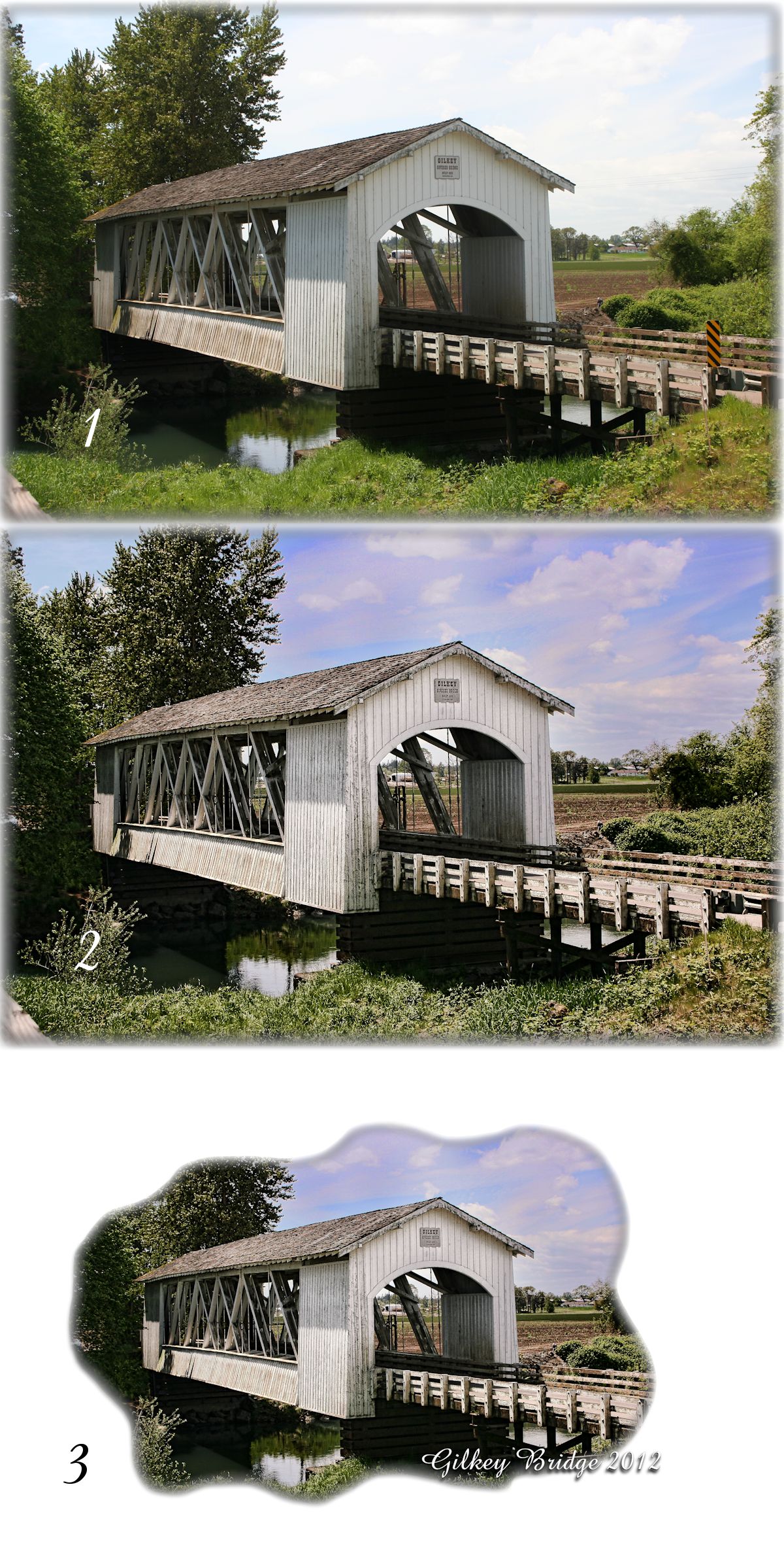
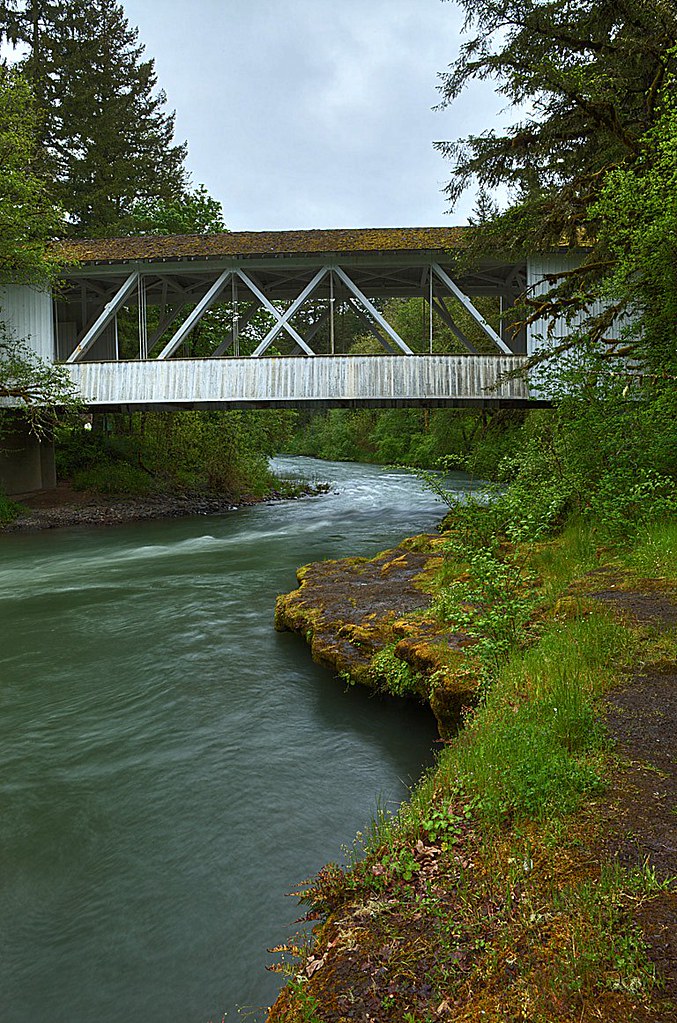
Covered Bridge
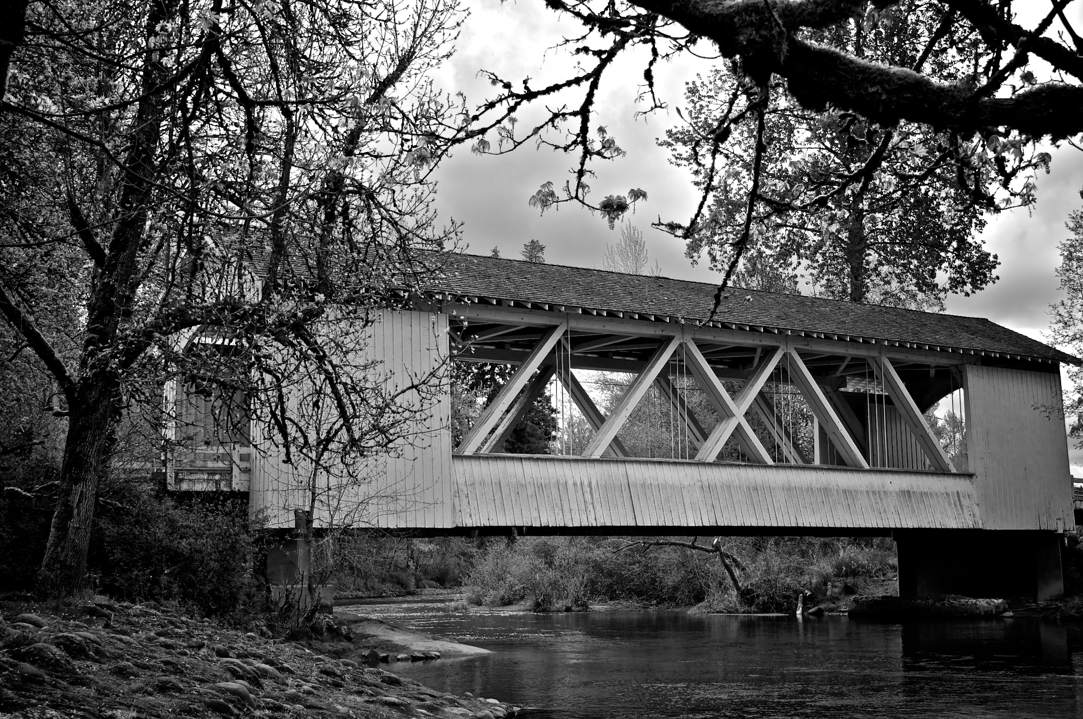
Larwood Covered Bridge
2-4-09

Hawthorn Berries.
3-13-09
T-Shirt Project
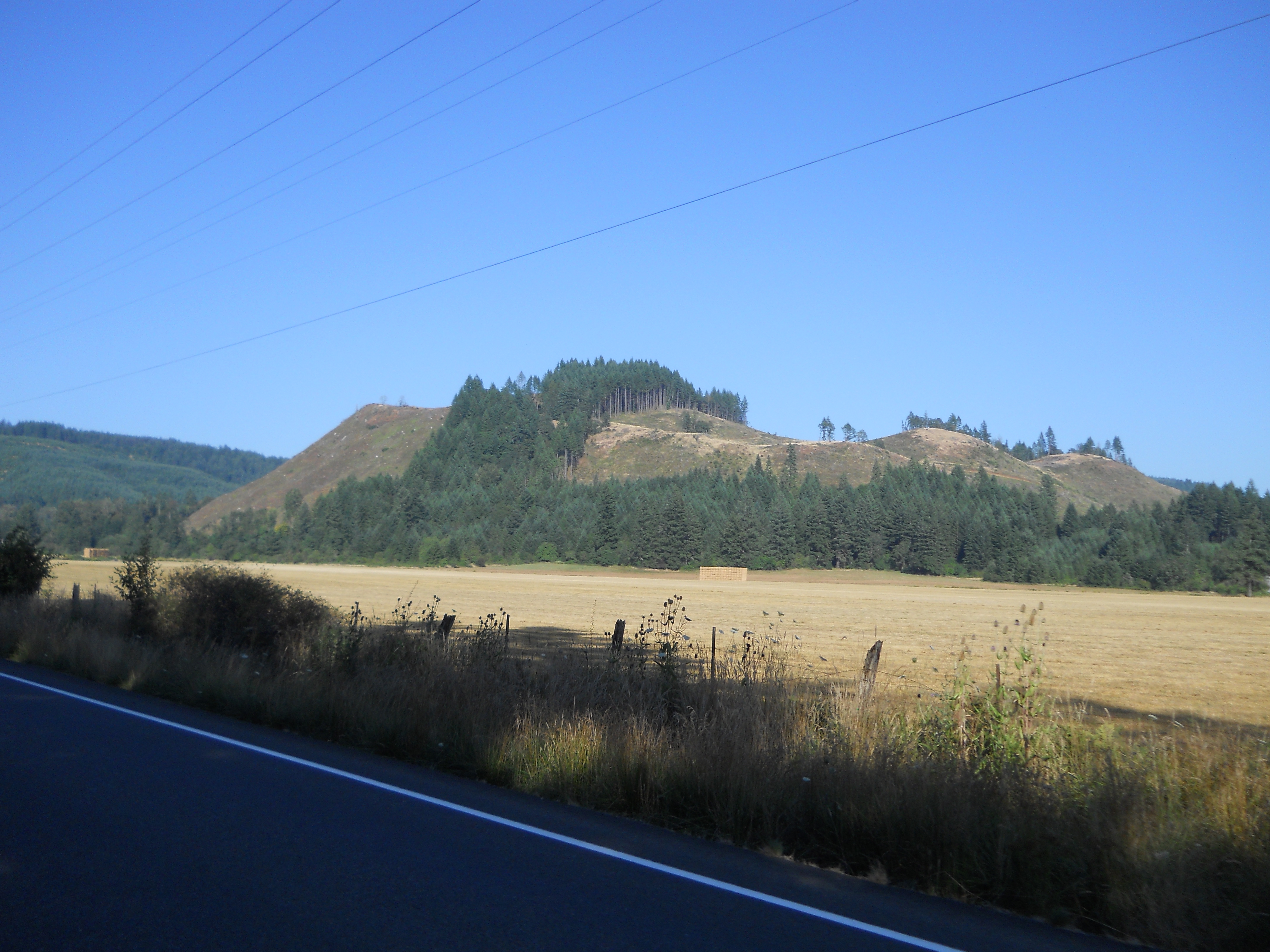
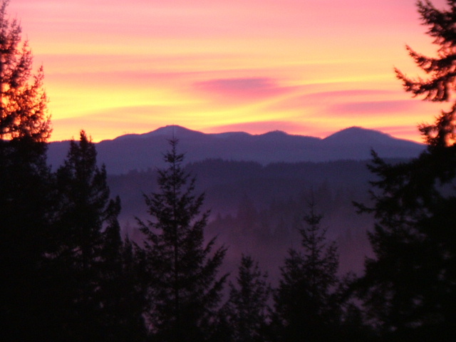
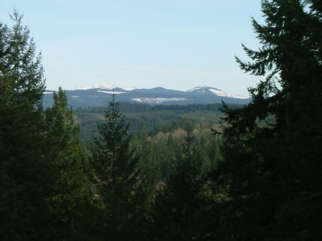
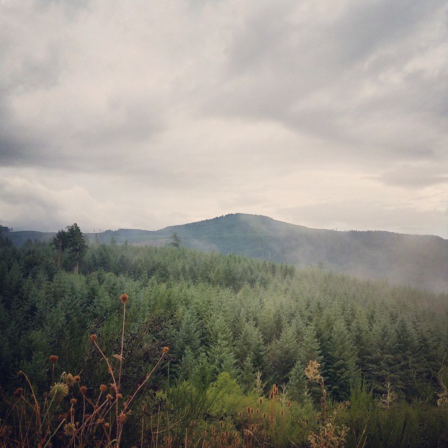
Gorgeous views from highway 226
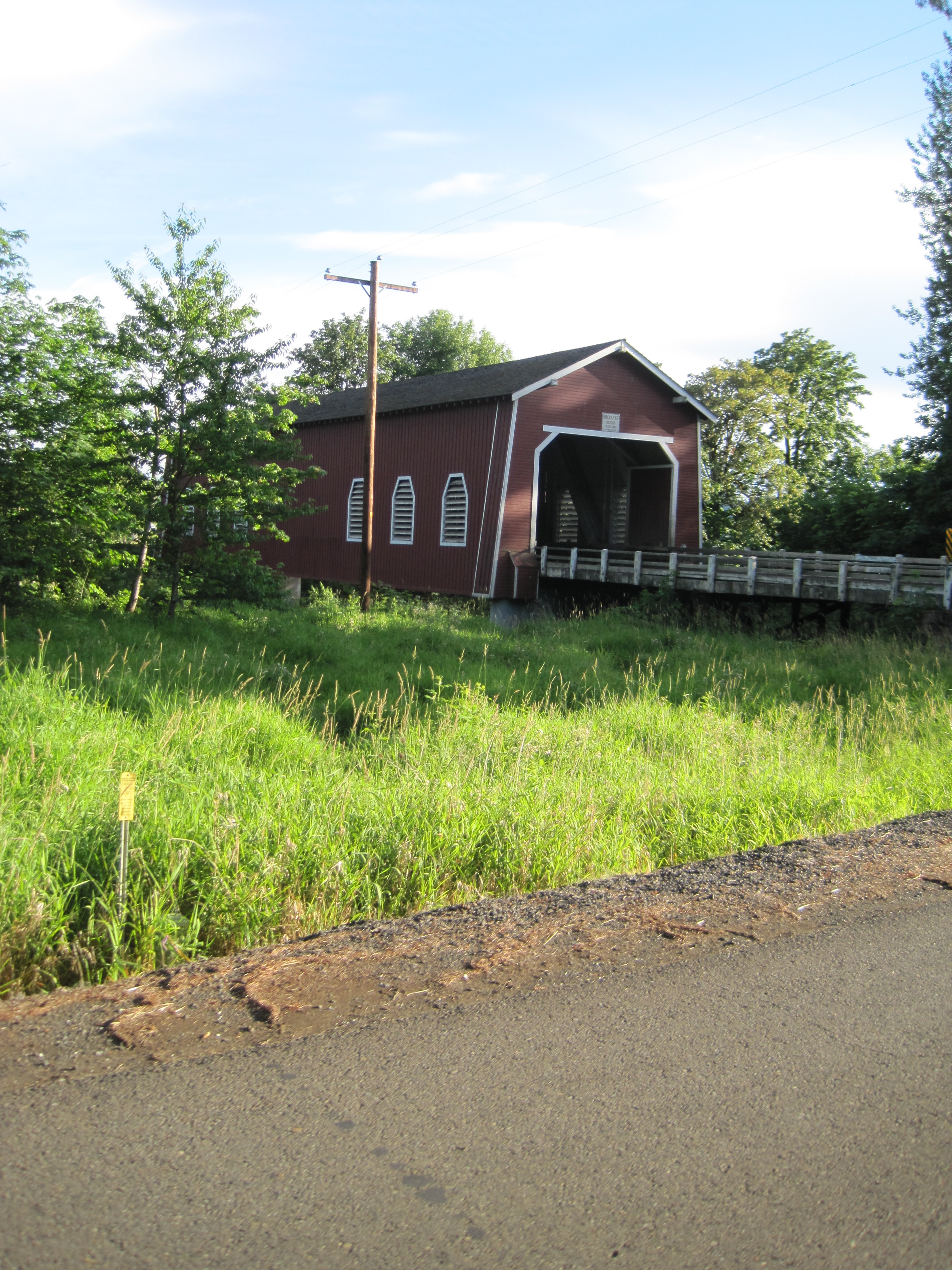
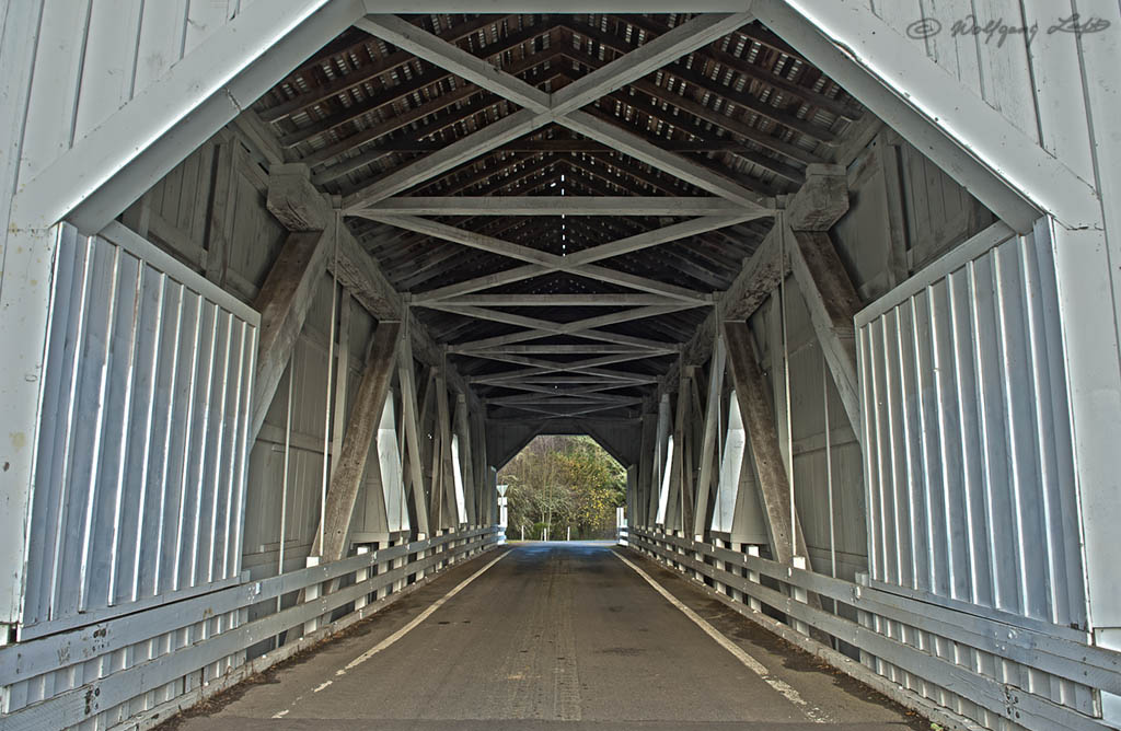
The Shimanek covered bridge in three-quarters view

On The Inside

Hoffman Covered Bridge

Hannah Covered Bridge

Leaves Near the River

Larwood Bridge in the Morning

There is a House in Infrared

Hoffman Covered Bridge

Larwood Covered Bridge
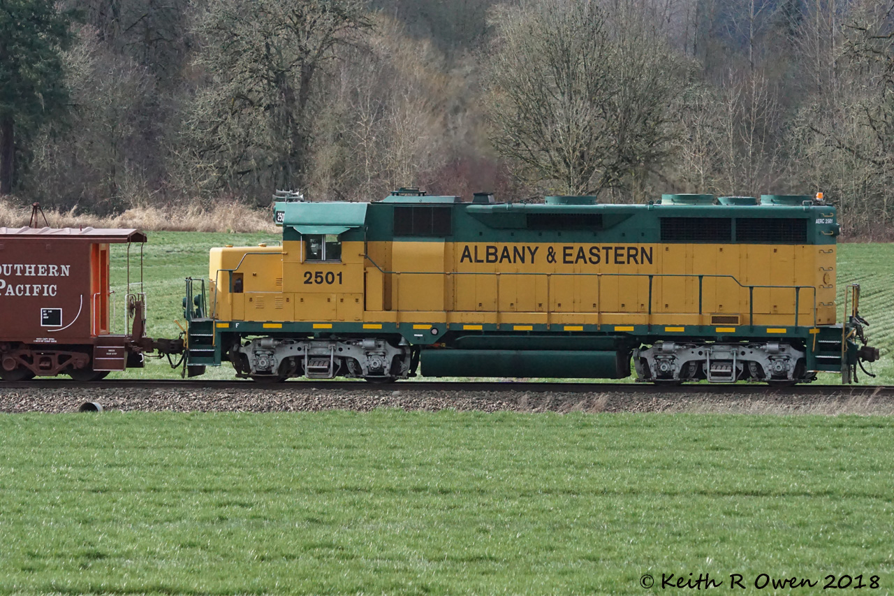
AERC 2501 (GP35E)

Mallard Creek Golf Course
A Rain drenched Day....

Flooded Path

The Farm

Mill City Turn

Mallard Creek Hole #7
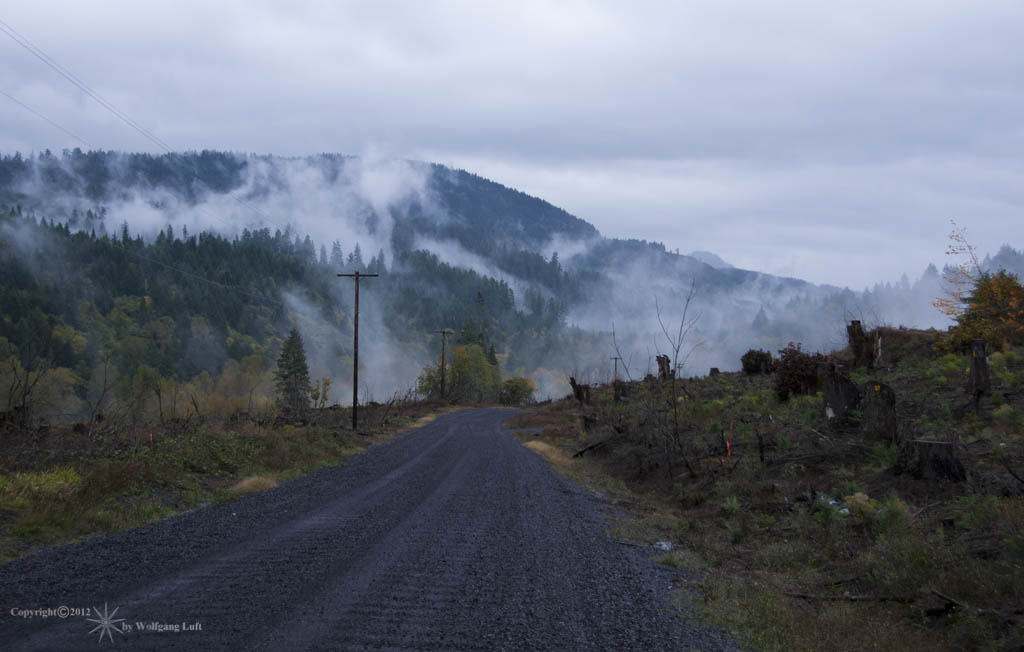
Misty Road trip #santiamforest #foggy #fall #roadtripping #jj_oregon #exploregon #oregonexplored #instapdx #igers_portland
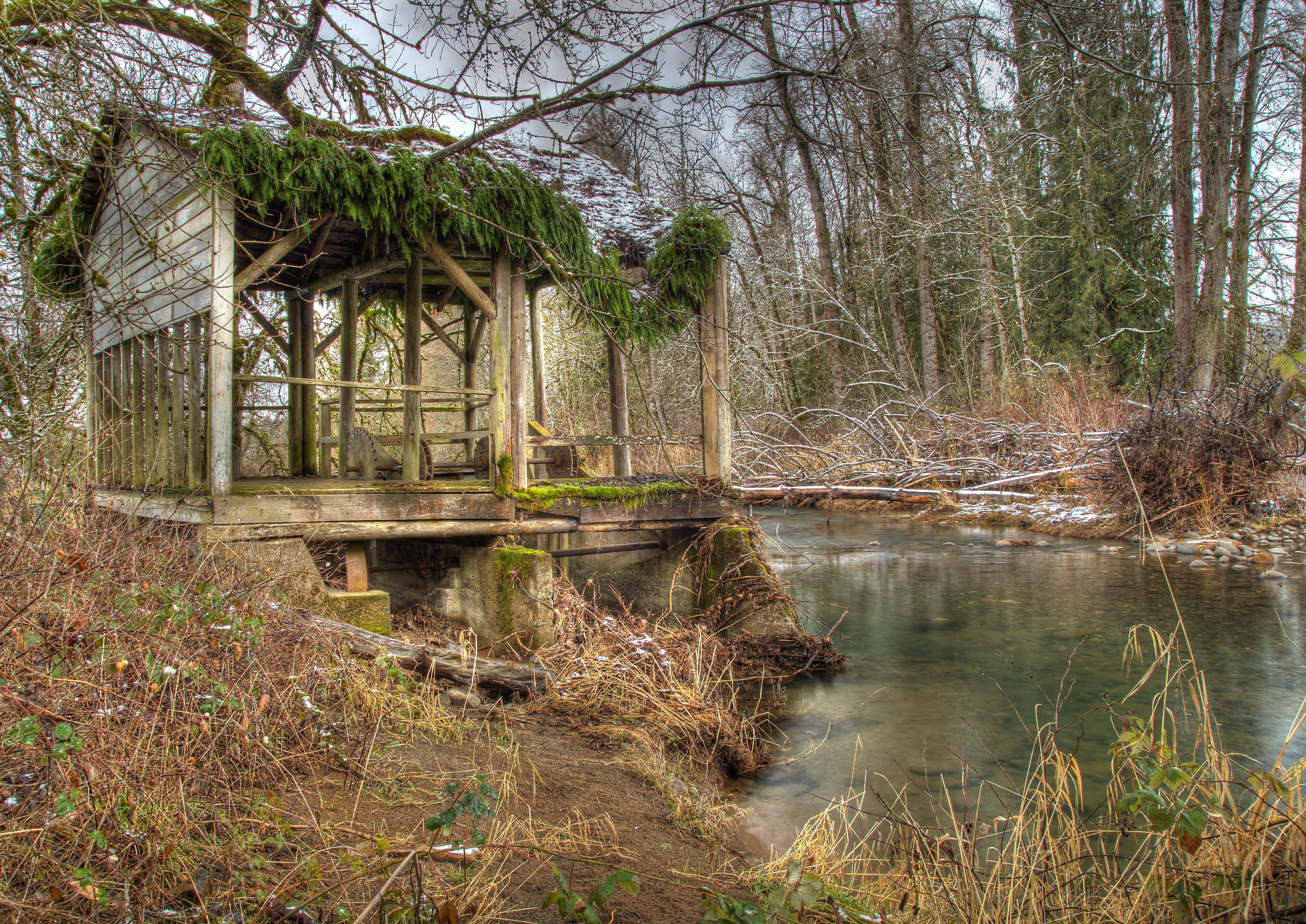
Old Crabtree Creek Water Wheel
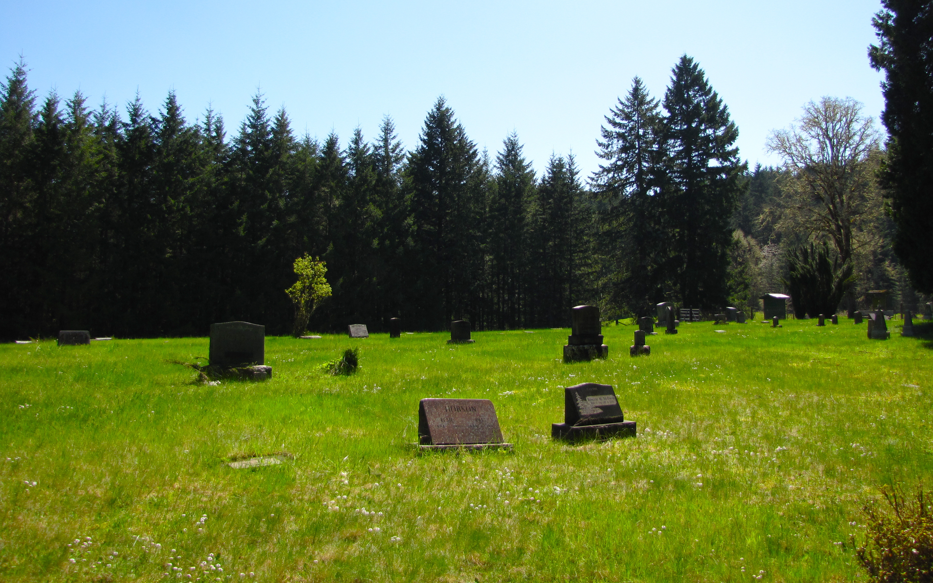
powell cemetery (linn county)
Hannah Bridge
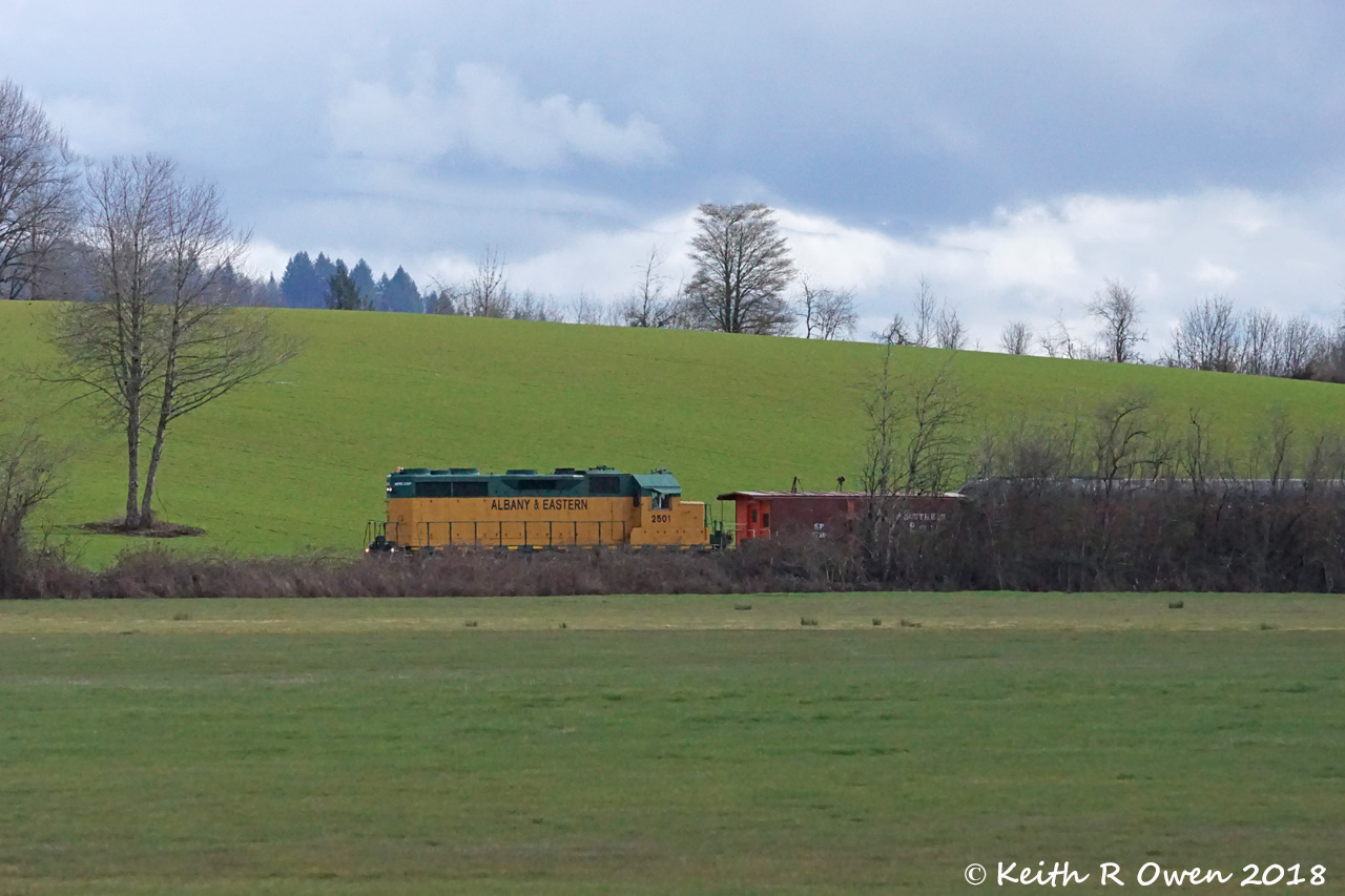
Albany & Eastern Inspection Train
Topographic Map of Meridian Rd, Scio, OR, USA
Find elevation by address:

Places near Meridian Rd, Scio, OR, USA:
35065 E Lacomb Rd
34577 Meridian Rd
E Lacomb Rd, Lebanon, OR, USA
Lacomb
Fords Mill
39785 Lacomb Dr
Lebanon, OR, USA
Whitaker
Brewster Rd, Lebanon, OR, USA
First Creek Drive
Mount Hope Drive
Mount Hope Drive
Waterloo
40188 Mcdowell Creek Dr
12 S Railroad St, Lebanon, OR, USA
Crabtree
Hungry Hill Road
Sagebrush SE Dr, Lebanon, OR, USA
2710 Cascade Dr
Townsend Road
Recent Searches:
- Elevation of Shibuya Scramble Crossing, 21 Udagawacho, Shibuya City, Tokyo -, Japan
- Elevation of Jadagoniai, Kaunas District Municipality, Lithuania
- Elevation of Pagonija rock, Kranto 7-oji g. 8"N, Kaunas, Lithuania
- Elevation of Co Rd 87, Jamestown, CO, USA
- Elevation of Tenjo, Cundinamarca, Colombia
- Elevation of Côte-des-Neiges, Montreal, QC H4A 3J6, Canada
- Elevation of Bobcat Dr, Helena, MT, USA
- Elevation of Zu den Ihlowbergen, Althüttendorf, Germany
- Elevation of Badaber, Peshawar, Khyber Pakhtunkhwa, Pakistan
- Elevation of SE Heron Loop, Lincoln City, OR, USA