Elevation of Mentone, IN, USA
Location: United States > Indiana > Kosciusko County > Franklin Township >
Longitude: -86.034718
Latitude: 41.1733771
Elevation: 256m / 840feet
Barometric Pressure: 98KPa
Elevation Map:
Satellite Map:
Related Photos:
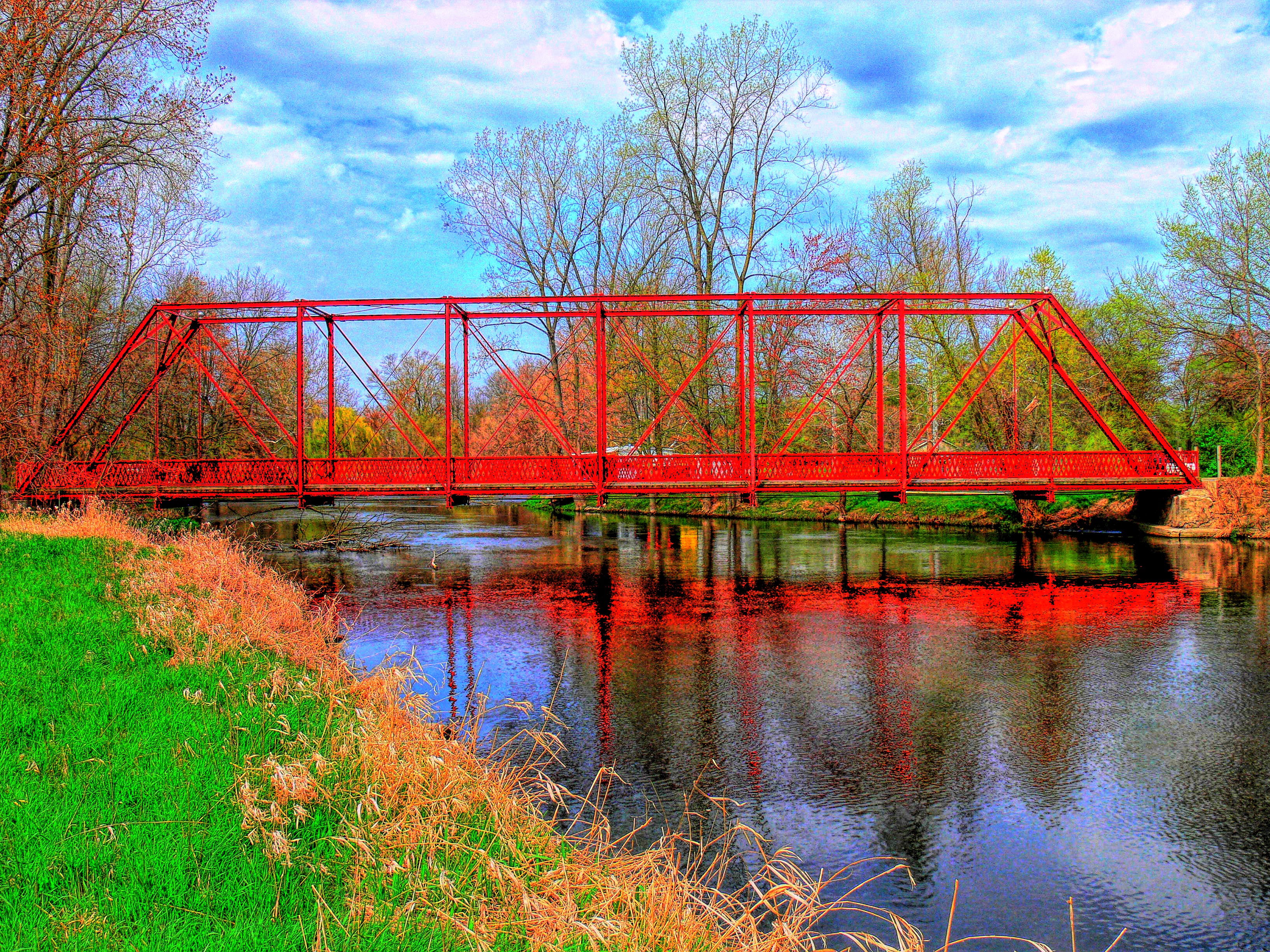
Chinworth HDR (Side view)
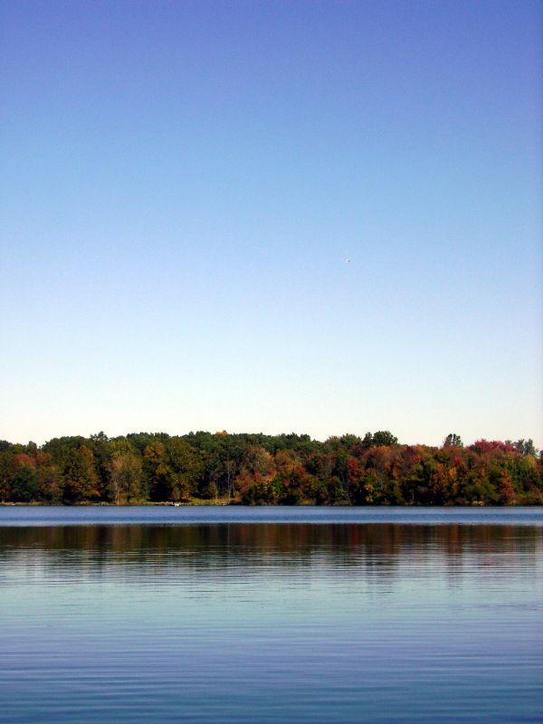
Carr Lake "Tall View"

Position light lamp
View from Sons backyard

Large Damselfly
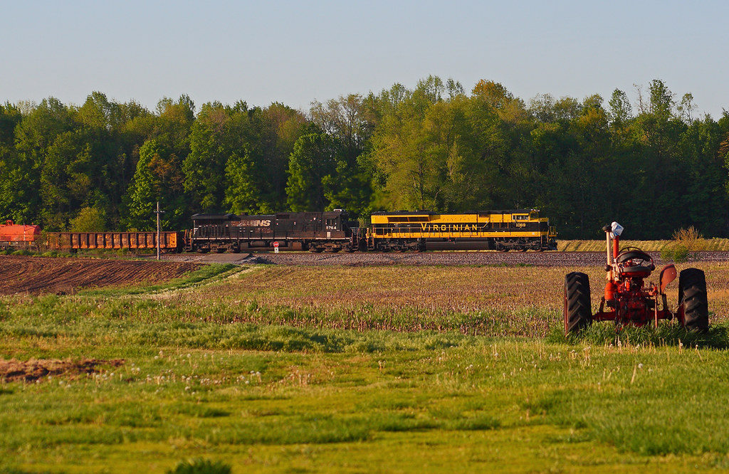
NS 1069 West - Claypool

white trees 2

8-8-08

8-8-08

another storm
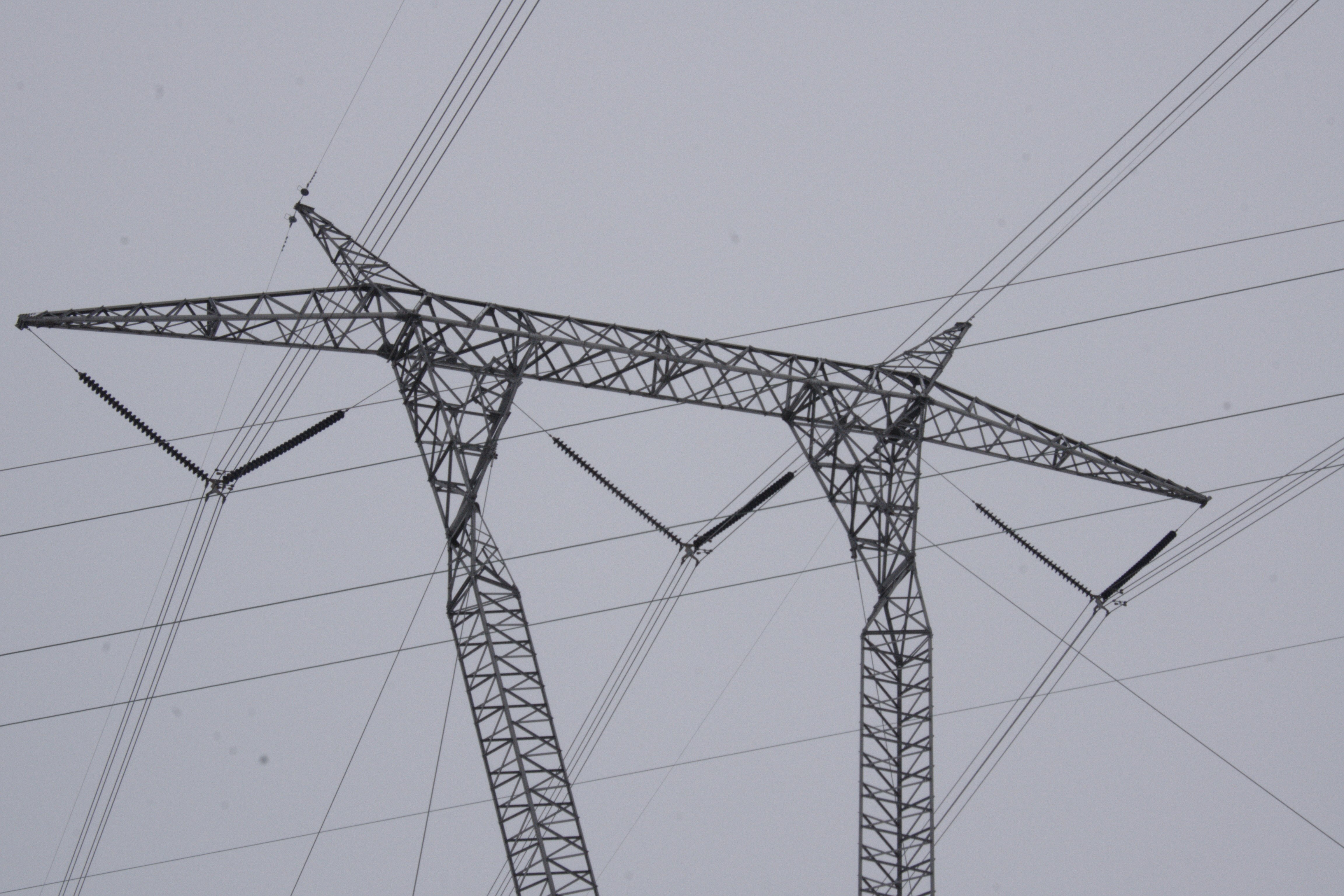
765kV power lines tower in Indiana
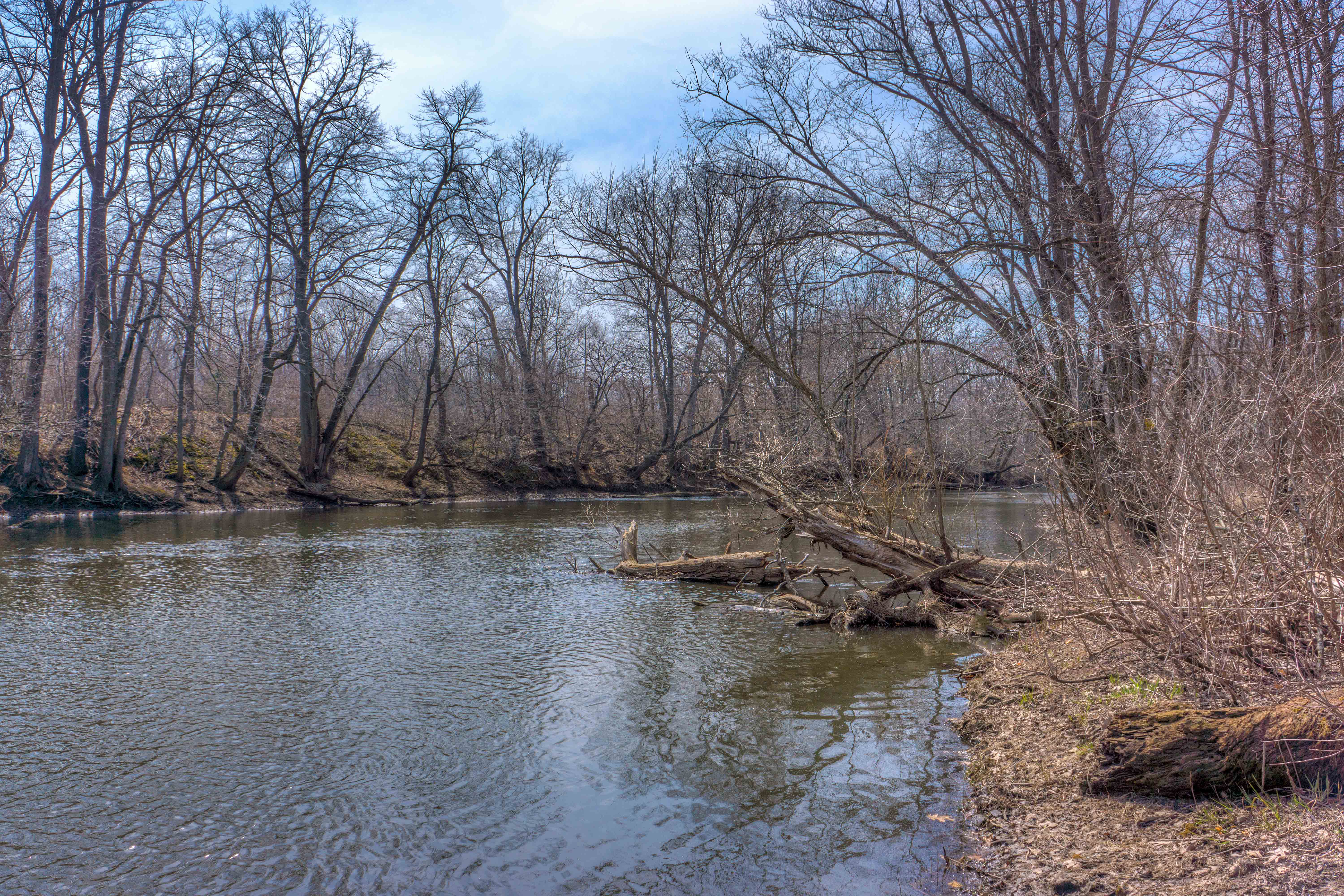
Tippecanoe River

Morning Fishing
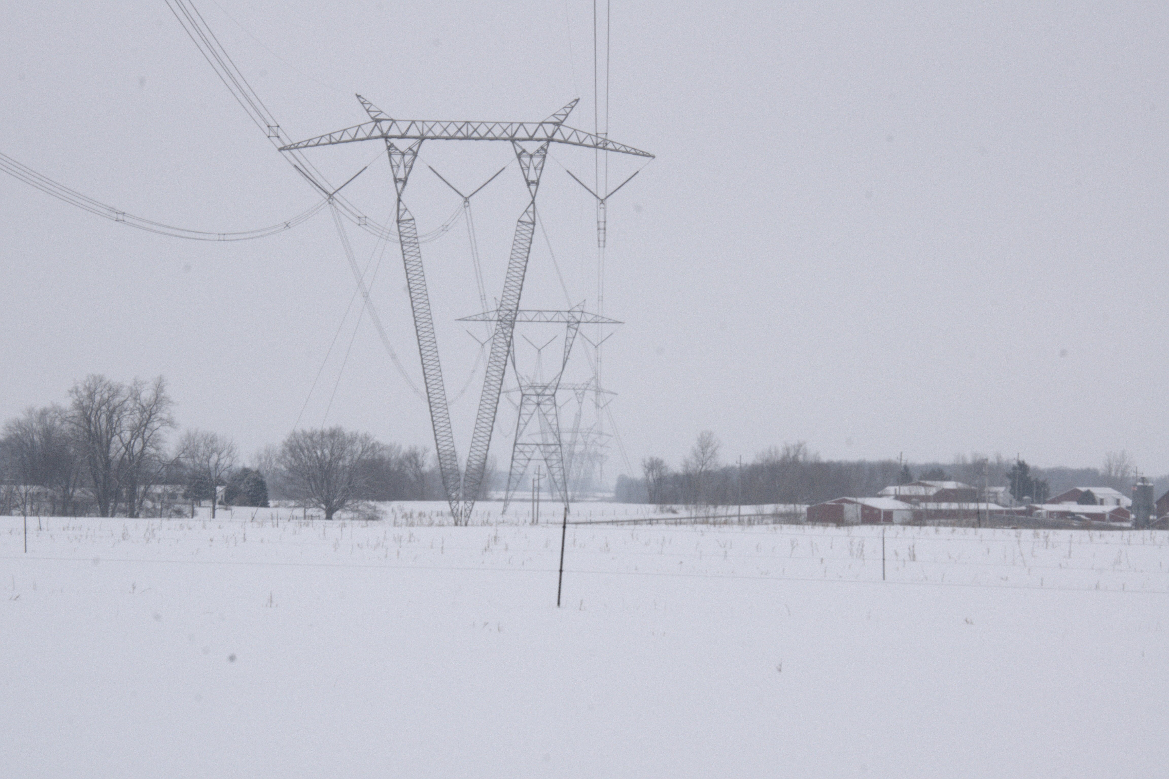
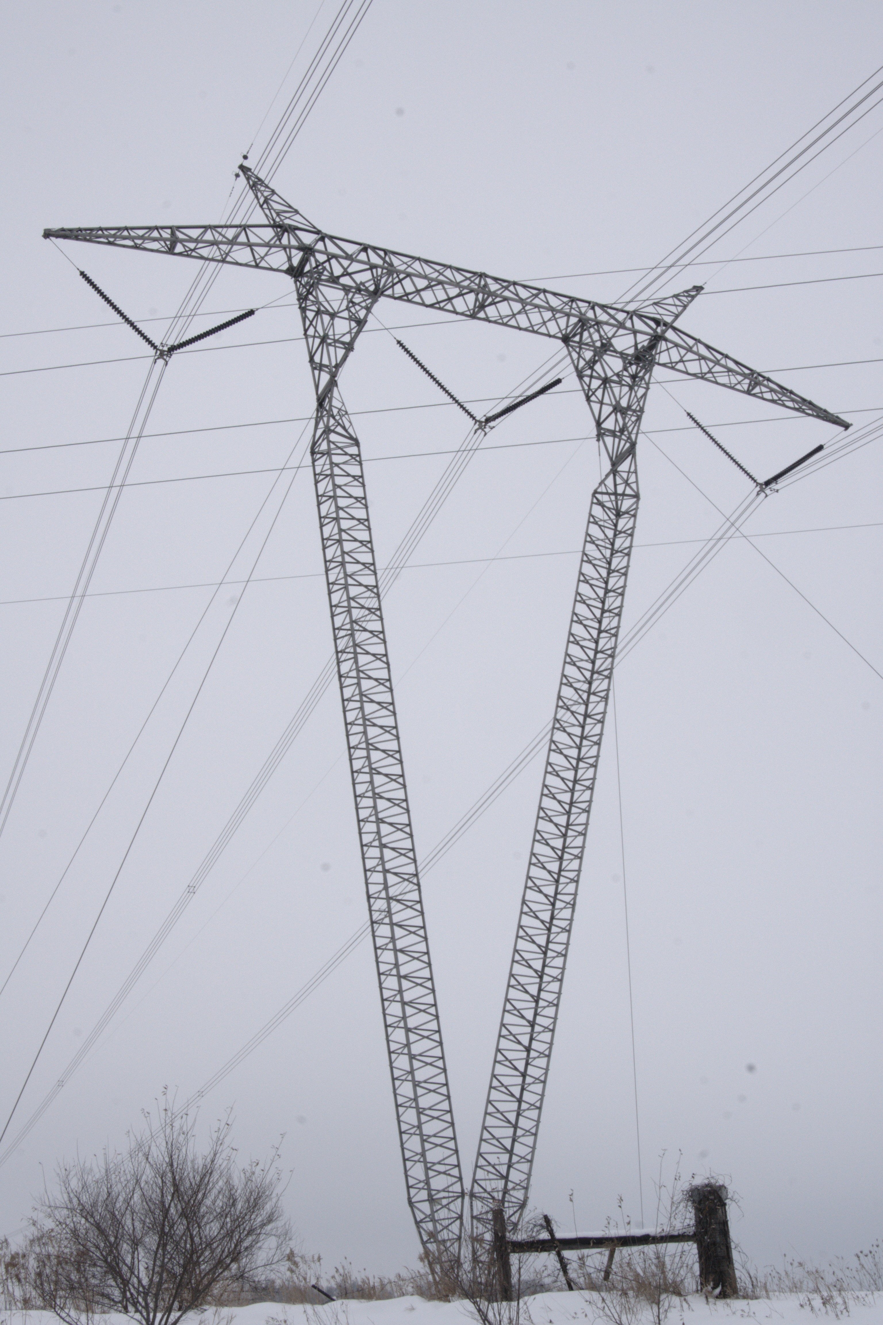
Indiana Landscape w/ 765kV power lines
Carr Lake Leaves
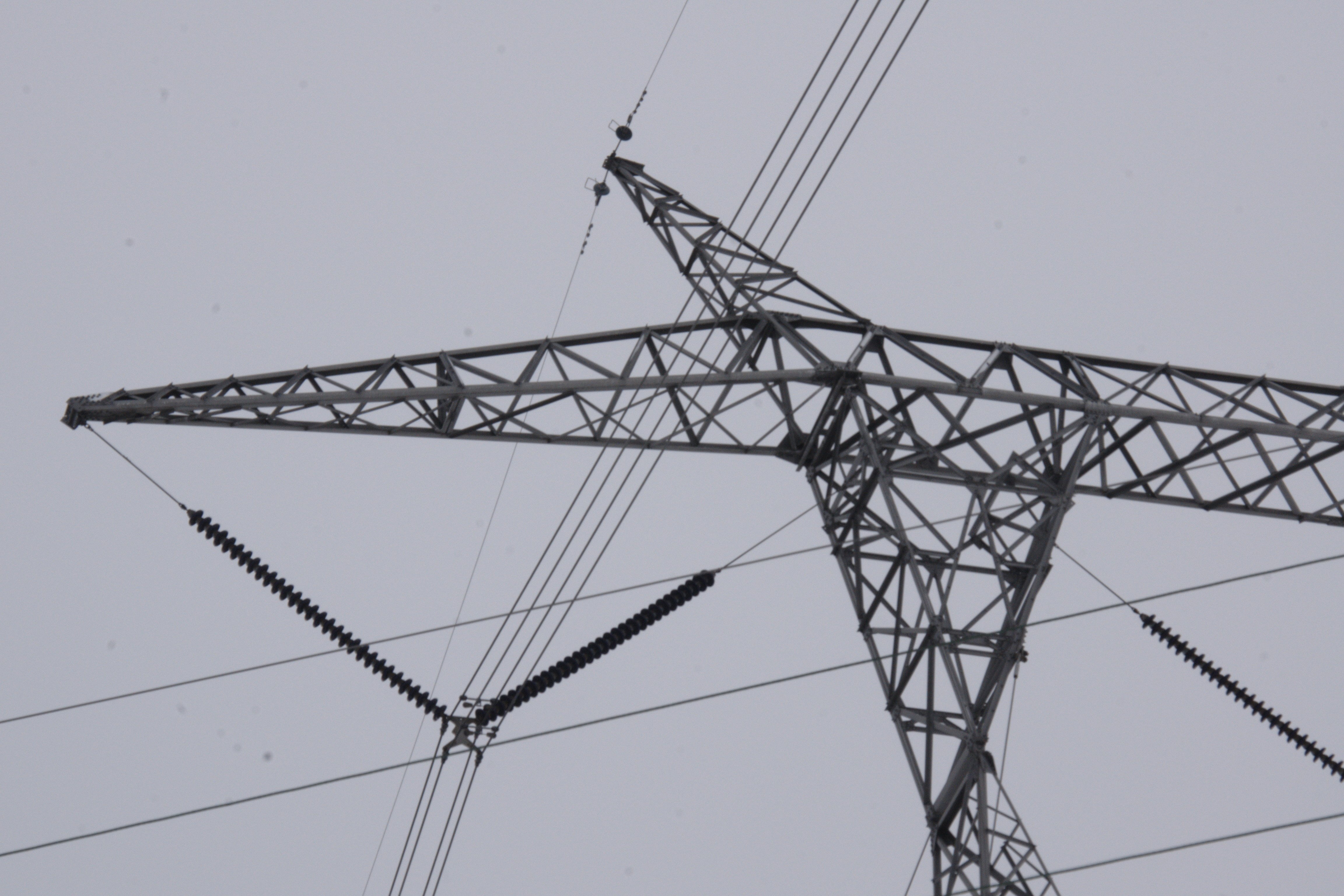
765kV power lines tower in Indiana
765kV power lines tower in Indiana
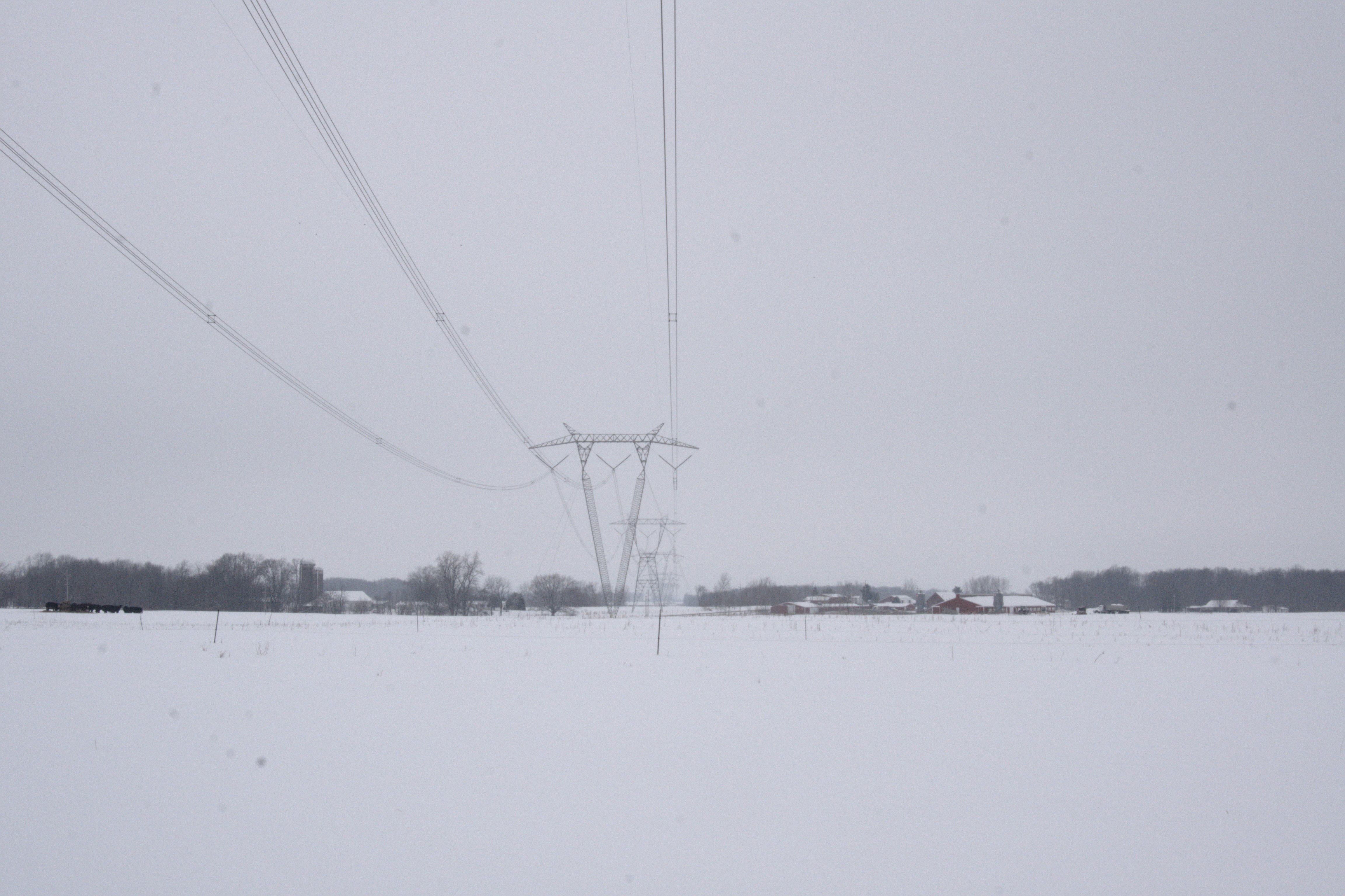
Indiana Landscape w/ 765kV power lines
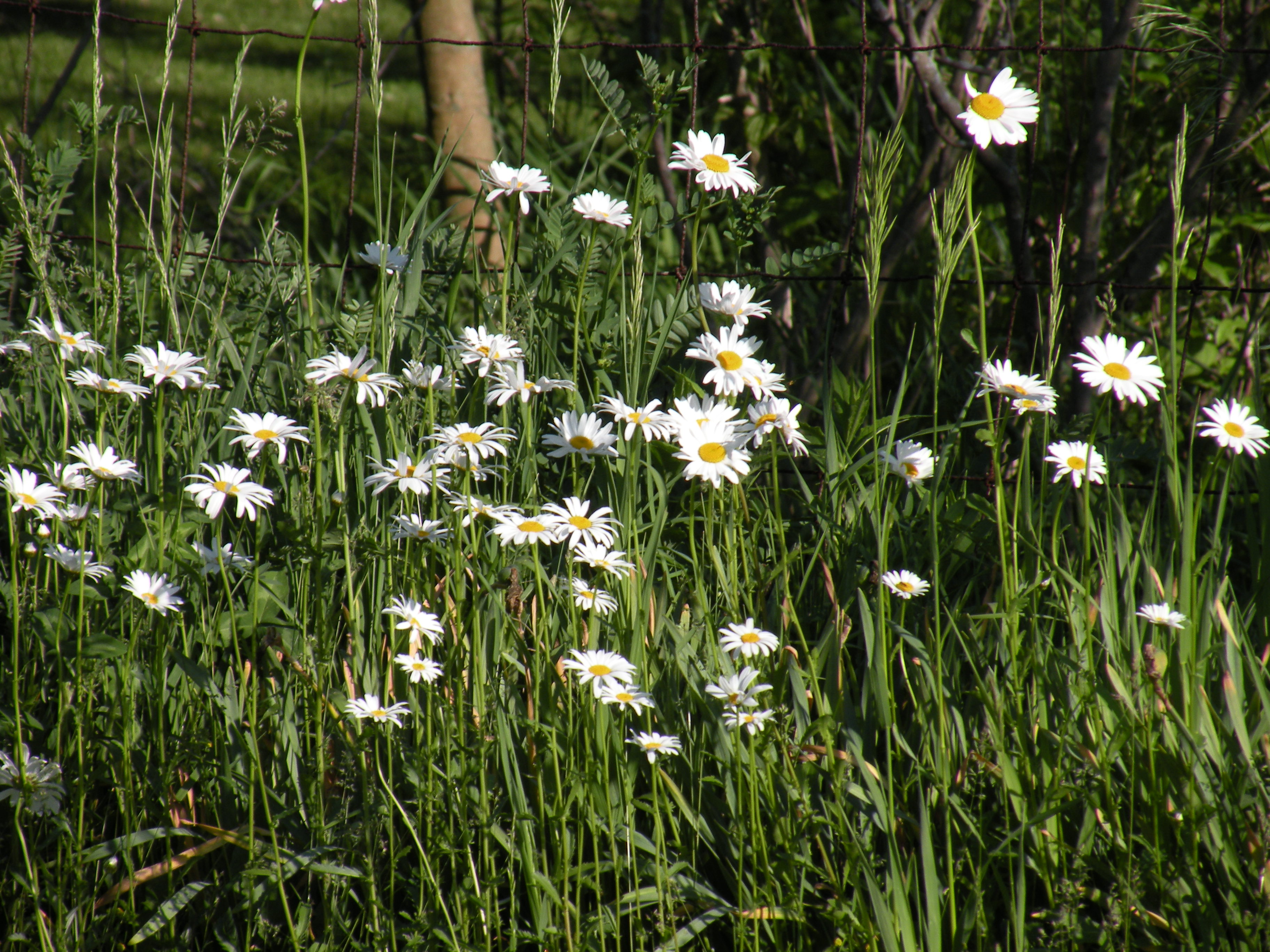
Wild Daisy's
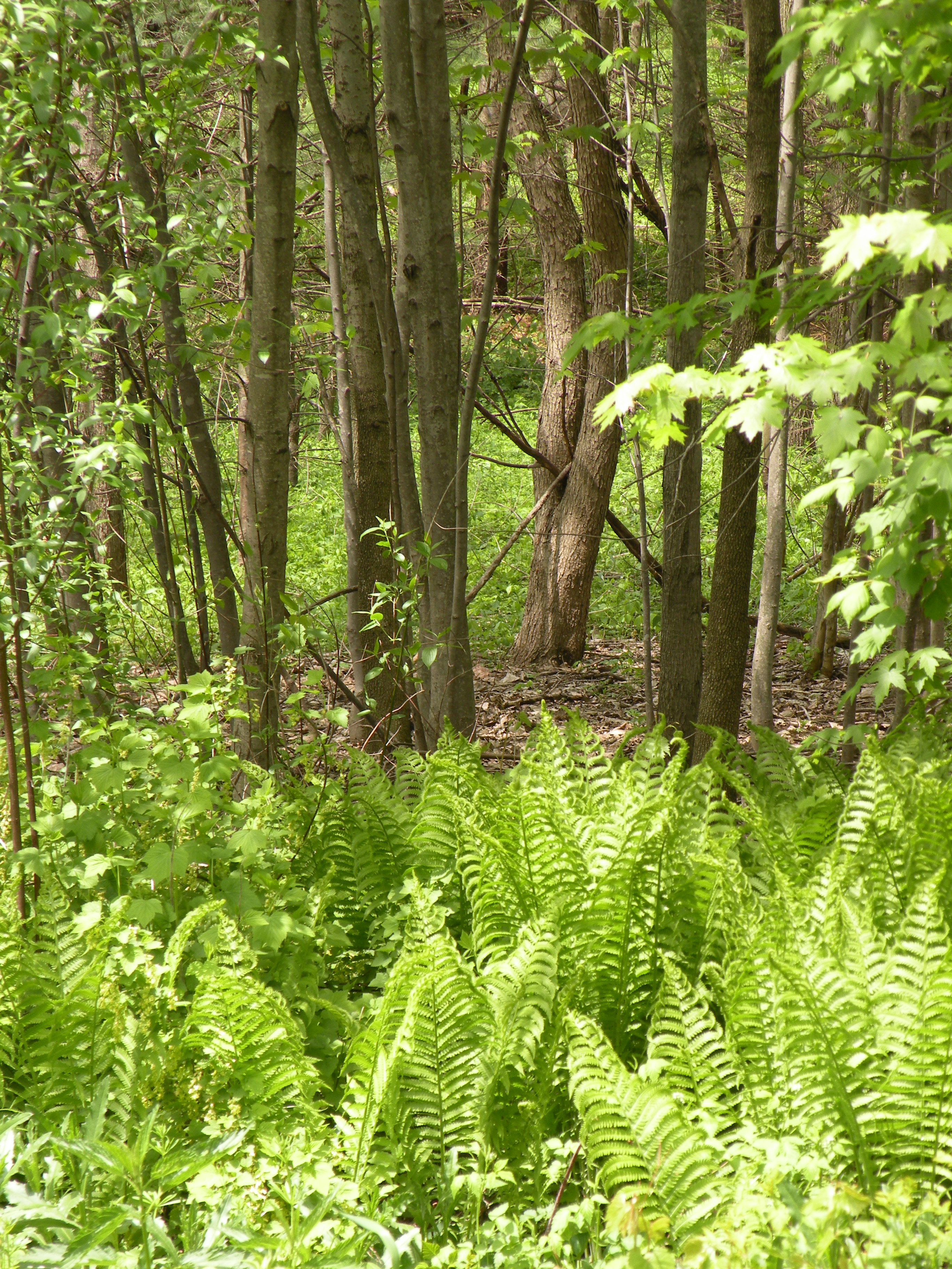
woods behind our house
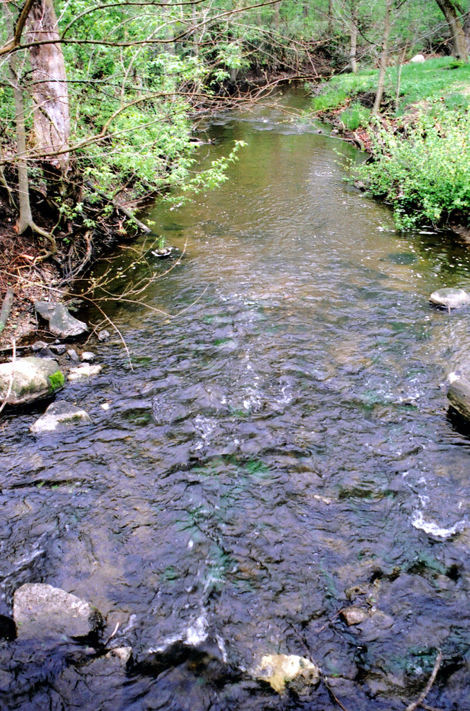
claypool creek2
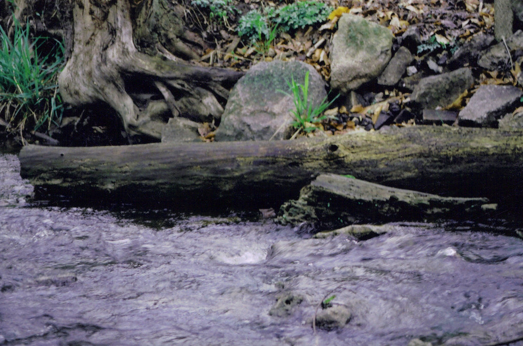
claypool creek3
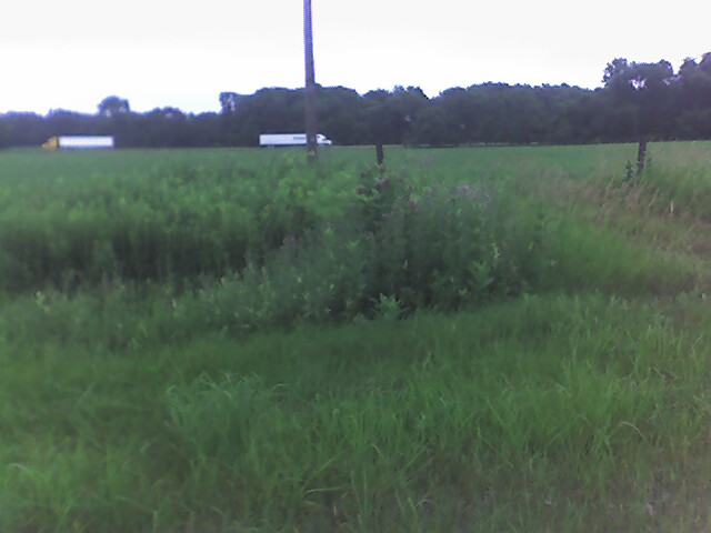
Endless fields outside of Atwood
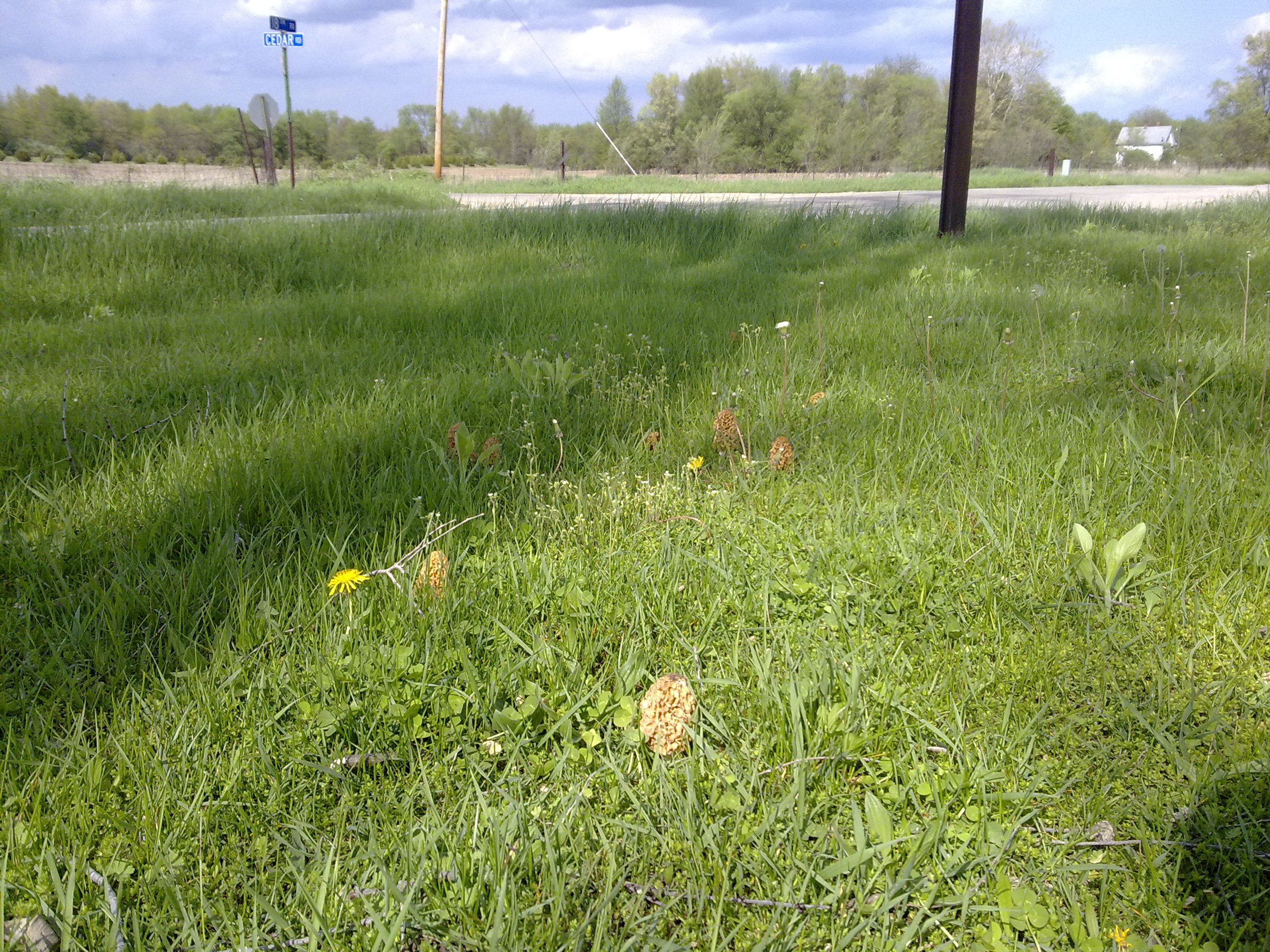
Morrel season
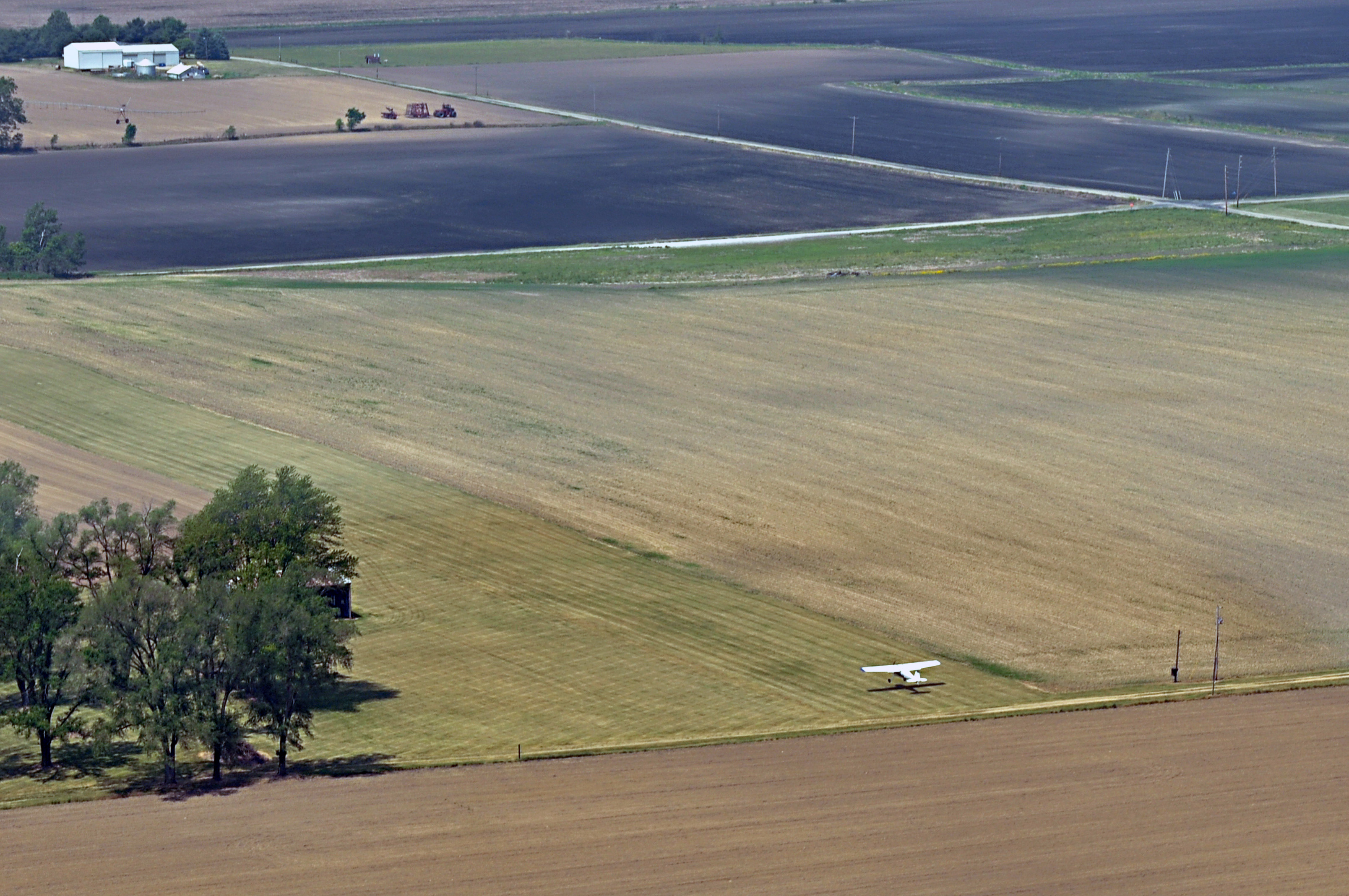
Scott Field, Indiana

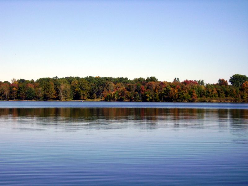
Autumn Sunrise on Yellow Creek Lake
Topographic Map of Mentone, IN, USA
Find elevation by address:

Places in Mentone, IN, USA:
Places near Mentone, IN, USA:
E Main St, Mentone, IN, USA
6734 In-25
Walnut St, Burket, IN, USA
Burket
E State St, Etna Green, IN, USA
E Main St, Warsaw, IN, USA
Etna Green
2955 S Woodland Hills Dr W
Clay Township
Rua
Warsaw
Oldfather Street
Oldfather St, Warsaw, IN, USA
440 E Lynnwood Dr S
Wayne Township
Court Street
Kosciusko County
3 Stone Camp Trail
Winona Lake
1265 Park Ave
Recent Searches:
- Elevation of Općina Šodolovci, Croatia
- Elevation of Šodolovci, Croatia
- Elevation of Old Clairton Rd, Jefferson Hills, PA, USA
- Elevation of st Ave SE, Lisbon, ND, USA
- Elevation of Steamboat Island Road Northwest, Olympia, WA, USA
- Elevation of Kootenai Trail Rd, Bonners Ferry, ID, USA
- Elevation of Hickory Blvd, Bonita Springs, FL, USA
- Elevation of Lalagbene, Bayelsa, Nigeria
- Elevation of Ogbosuware Health Centre, 2WWJ+4PJ, Lalagbene, Bayelsa, Nigeria
- Elevation of Duckhorn Ct, Las Vegas, NV, USA