Elevation of E Main St, Mentone, IN, USA
Location: United States > Indiana > Kosciusko County > Franklin Township > Mentone >
Longitude: -86.034545
Latitude: 41.17316
Elevation: 256m / 840feet
Barometric Pressure: 98KPa
Elevation Map:
Satellite Map:
Related Photos:
Chinworth HDR (Side view)

Position light lamp

Large Damselfly

Carr Lake "Tall View"
View from Sons backyard
NS 1069 West - Claypool

8-8-08

8-8-08
Tippecanoe River
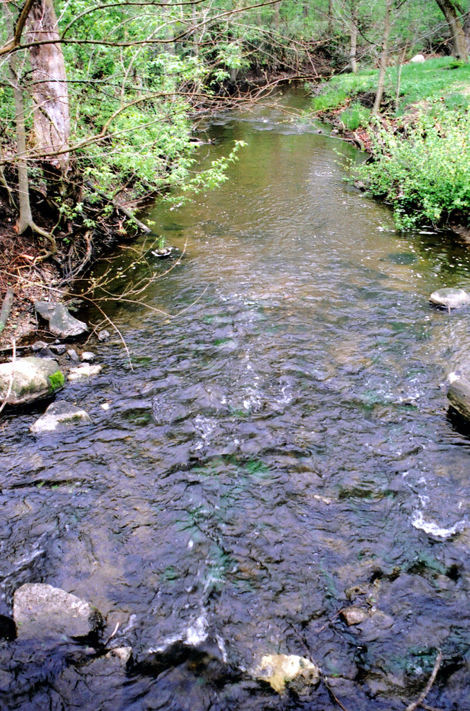
claypool creek2
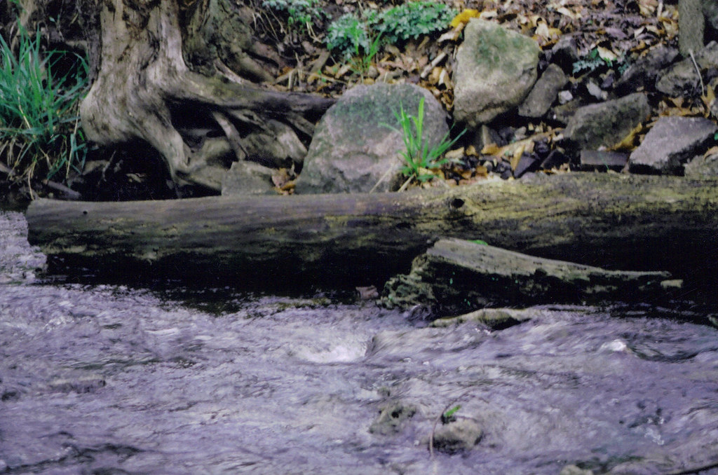
claypool creek3
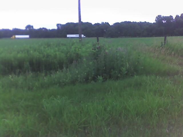
Endless fields outside of Atwood
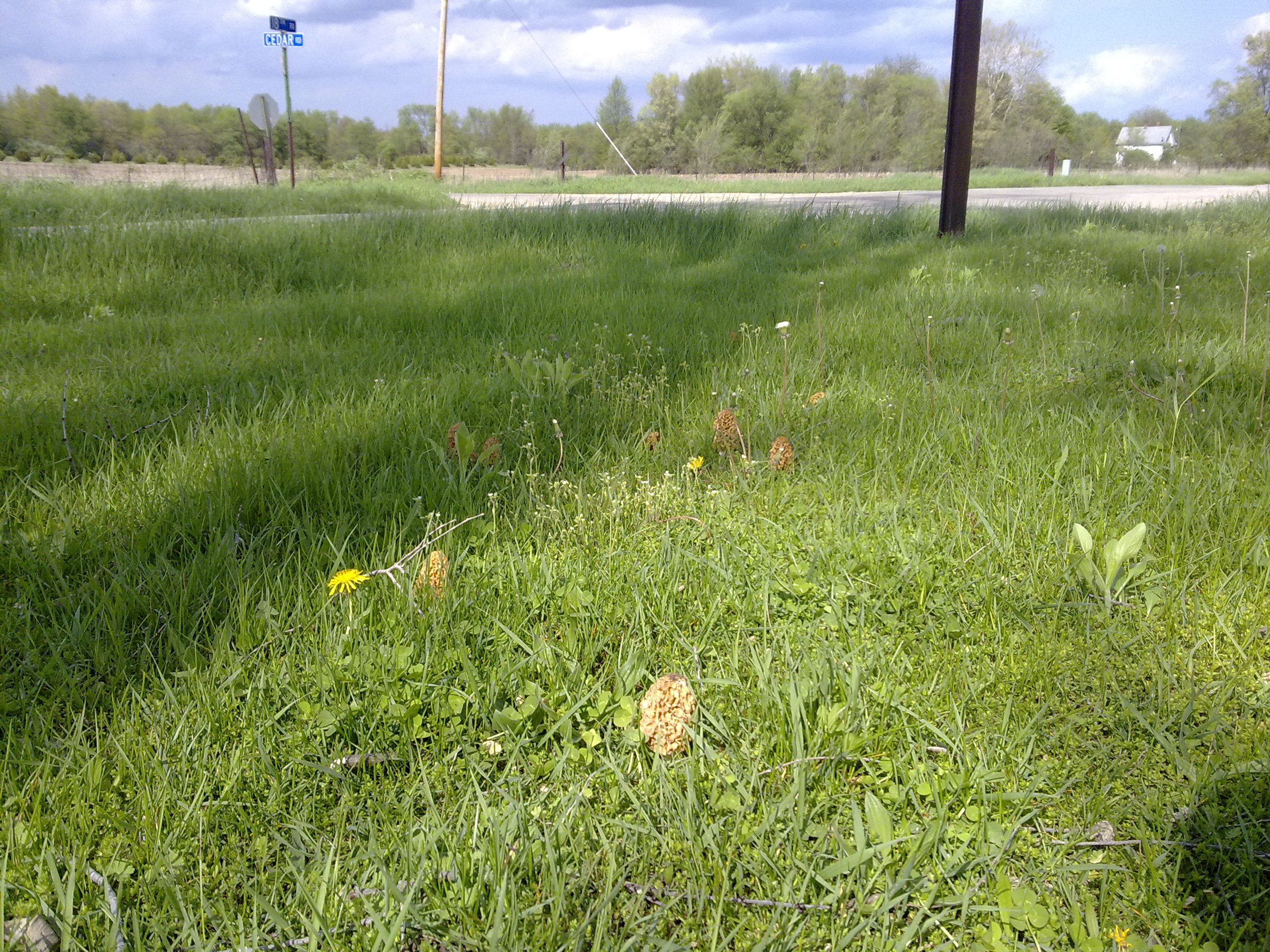
Morrel season
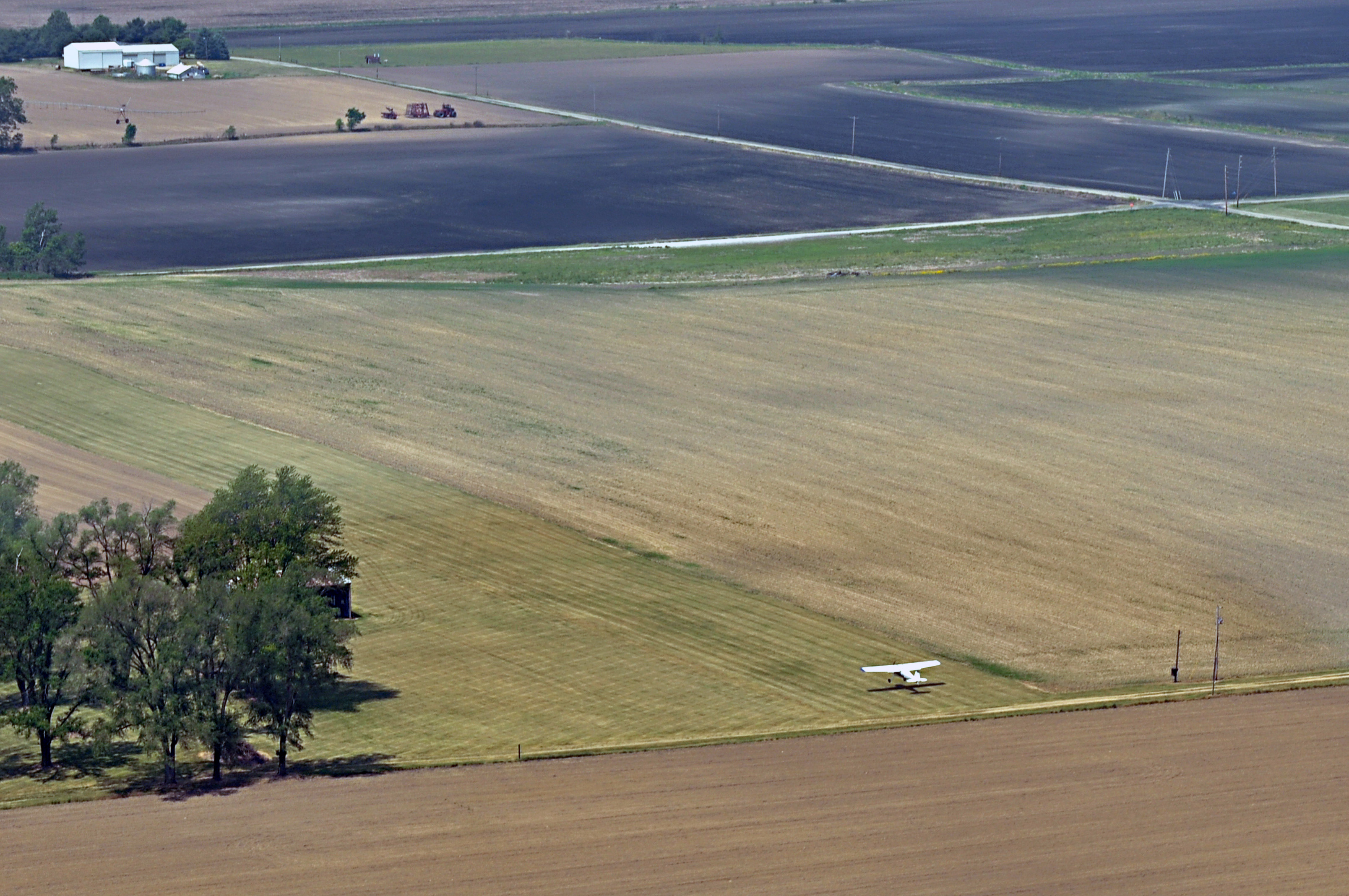
Scott Field, Indiana
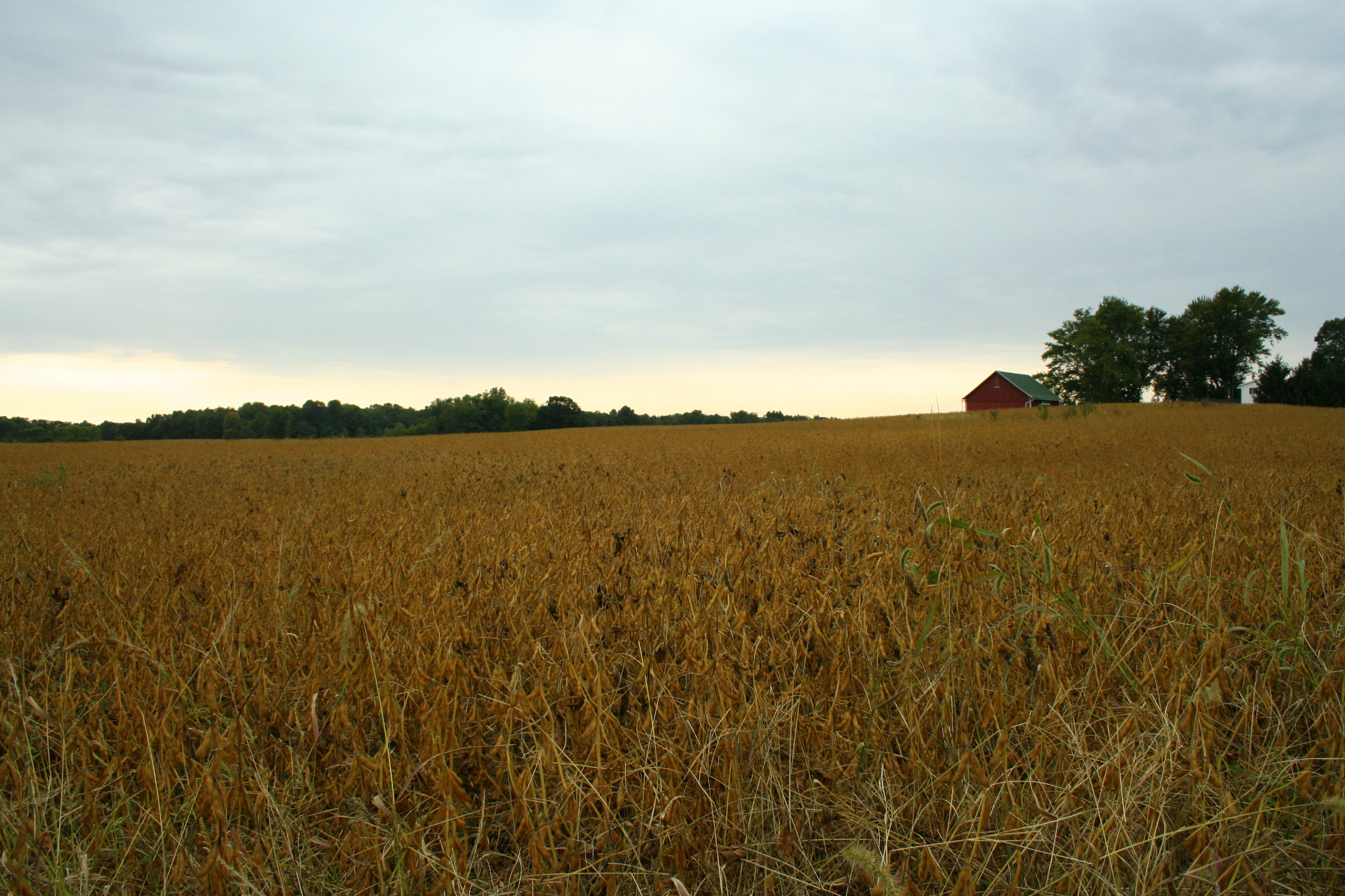
Bean Field

white trees 2

another storm
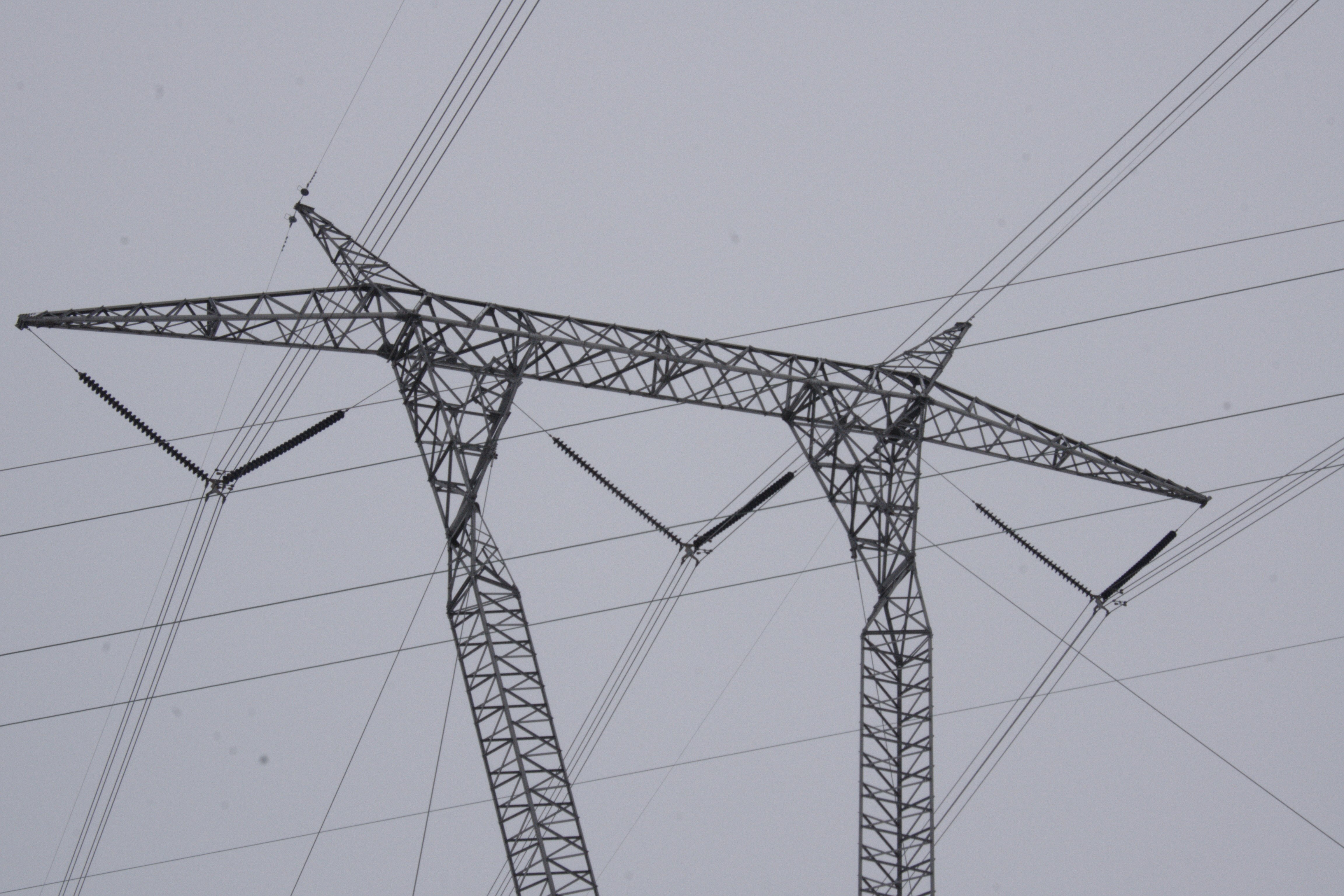
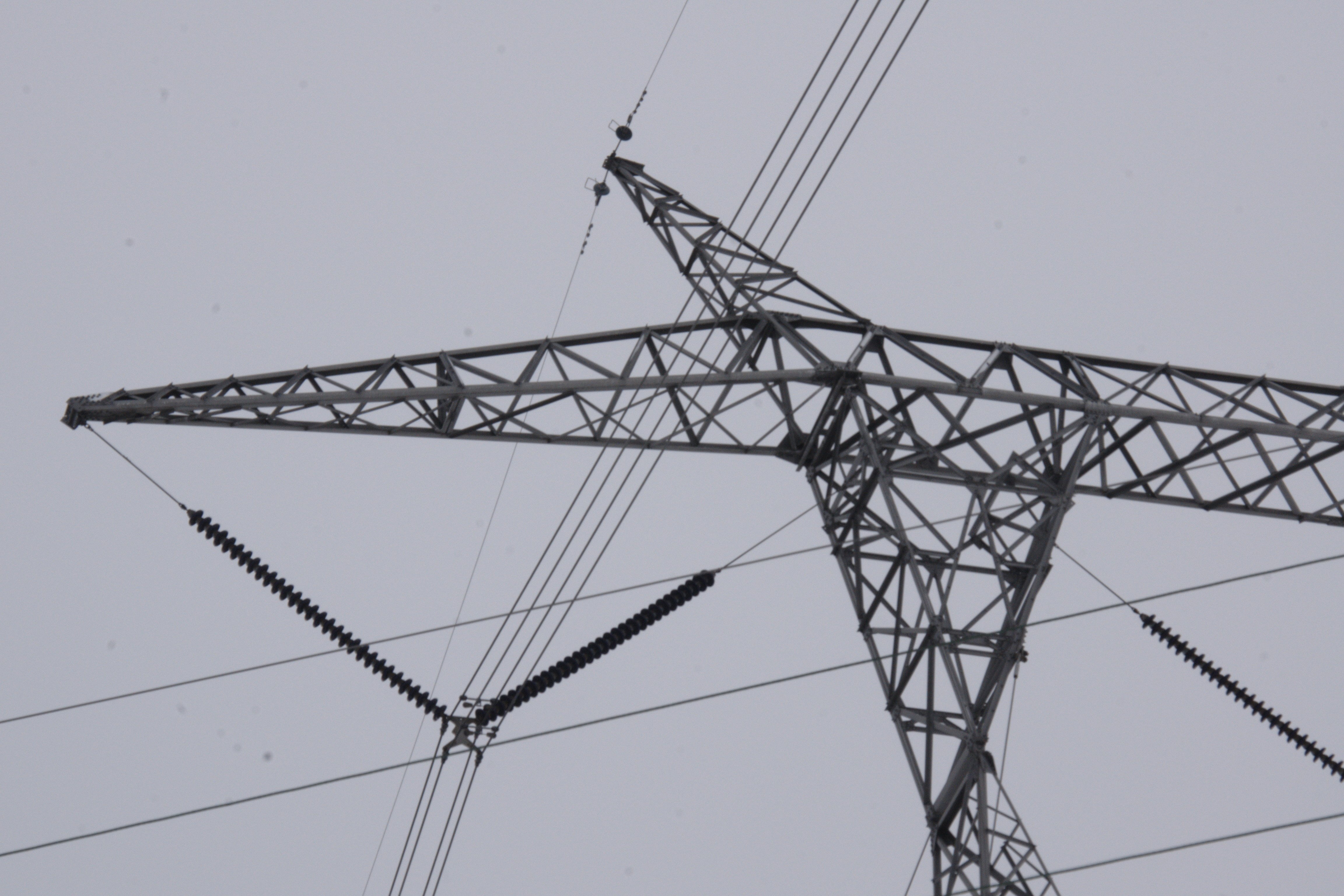
765kV power lines tower in Indiana

Morning Fishing
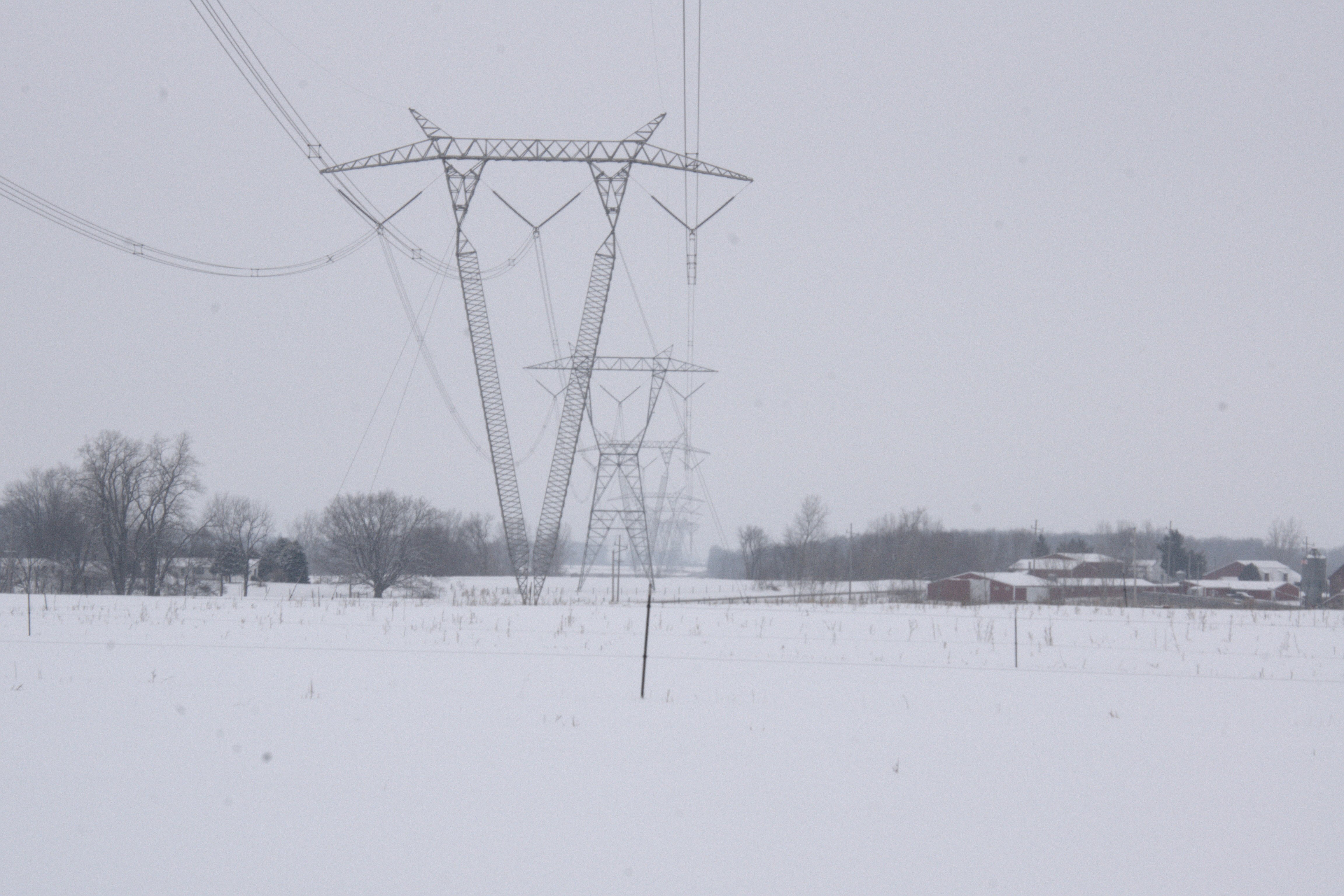
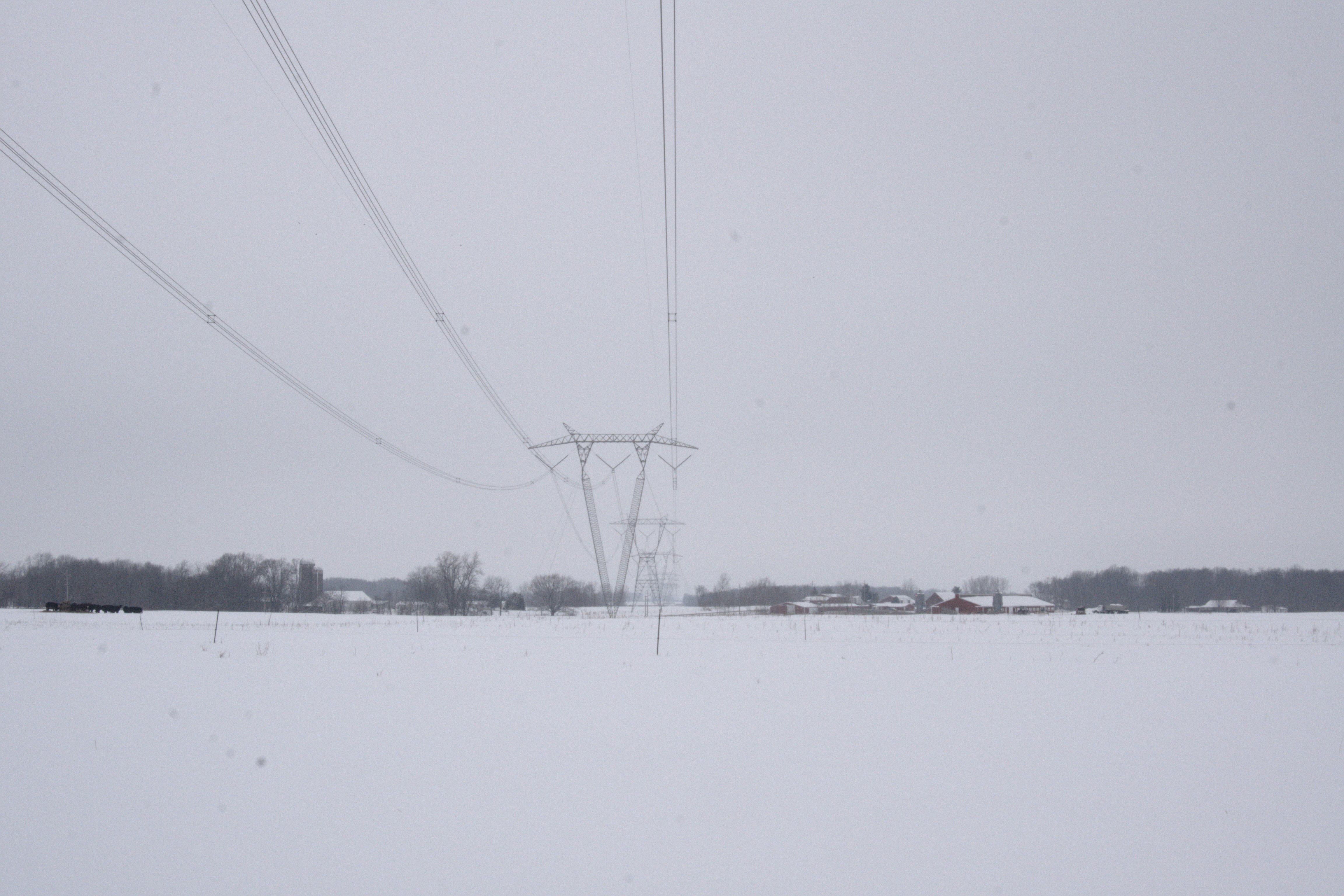
Indiana Landscape w/ 765kV power lines

Carr Lake Leaves
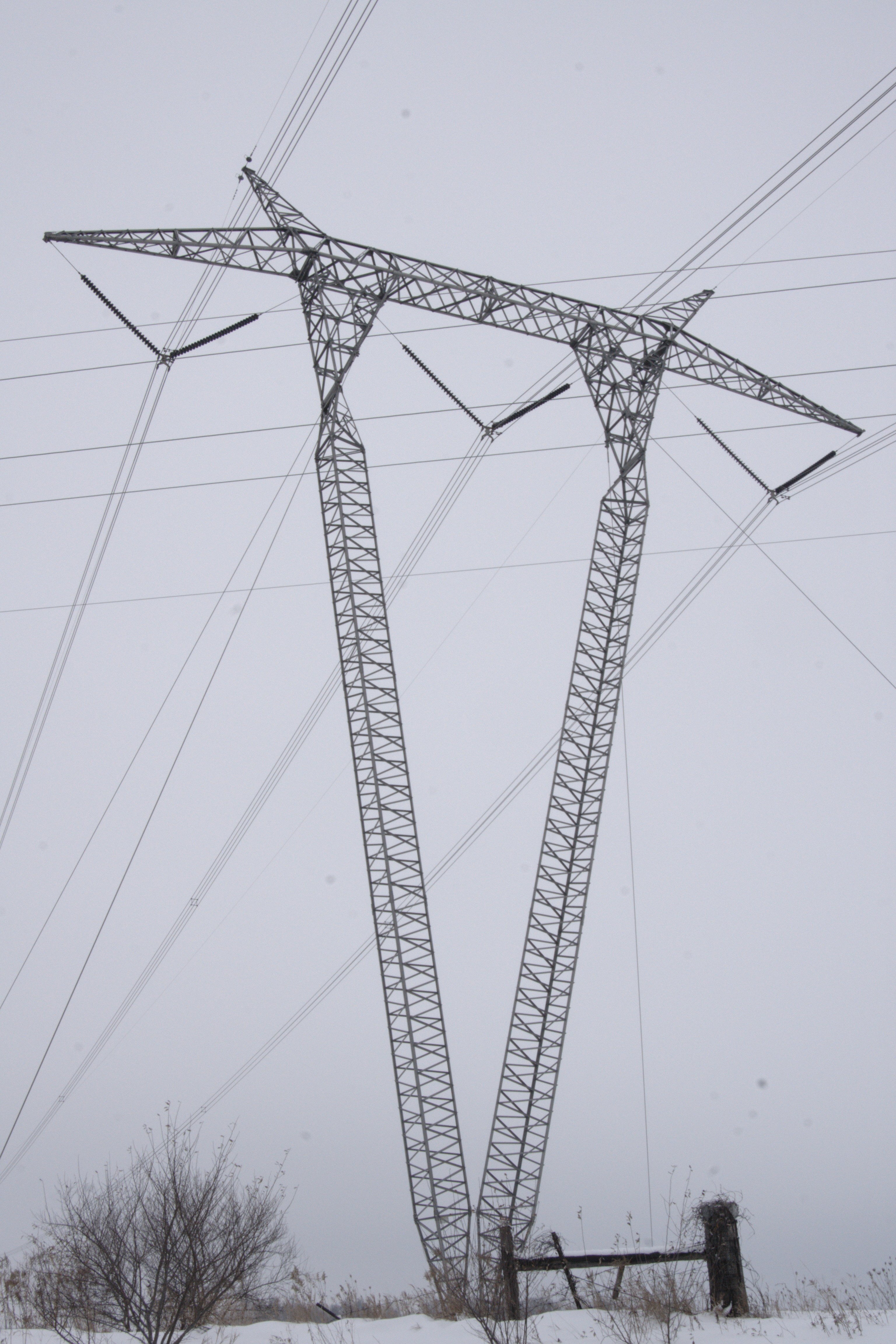
765kV power lines tower in Indiana
765kV power lines tower in Indiana
Indiana Landscape w/ 765kV power lines

Wild Daisy's
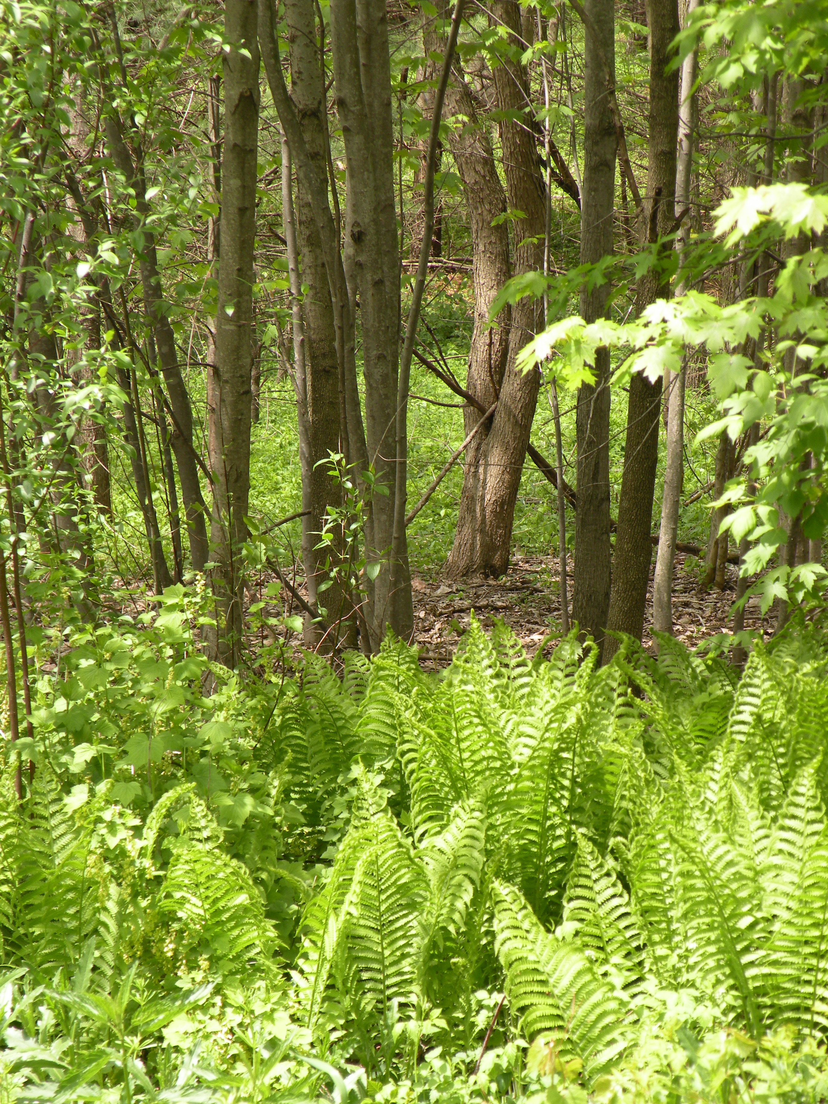
woods behind our house
Topographic Map of E Main St, Mentone, IN, USA
Find elevation by address:

Places near E Main St, Mentone, IN, USA:
Mentone
6734 In-25
Walnut St, Burket, IN, USA
Burket
E Main St, Warsaw, IN, USA
E State St, Etna Green, IN, USA
Etna Green
2955 S Woodland Hills Dr W
Clay Township
Rua
Warsaw
Oldfather Street
Oldfather St, Warsaw, IN, USA
440 E Lynnwood Dr S
Wayne Township
Court Street
Kosciusko County
3 Stone Camp Trail
Winona Lake
1265 Park Ave
Recent Searches:
- Elevation of Old Clairton Rd, Jefferson Hills, PA, USA
- Elevation of st Ave SE, Lisbon, ND, USA
- Elevation of Steamboat Island Road Northwest, Olympia, WA, USA
- Elevation of Kootenai Trail Rd, Bonners Ferry, ID, USA
- Elevation of Hickory Blvd, Bonita Springs, FL, USA
- Elevation of Lalagbene, Bayelsa, Nigeria
- Elevation of Ogbosuware Health Centre, 2WWJ+4PJ, Lalagbene, Bayelsa, Nigeria
- Elevation of Duckhorn Ct, Las Vegas, NV, USA
- Elevation of Garretts Run Rd, Ford City, PA, USA
- Elevation of N WI-55, Freedom, WI, USA