Elevation of Mendota, VA, USA
Location: United States > Virginia > Washington County > Tyler >
Longitude: -82.301529
Latitude: 36.7109367
Elevation: 420m / 1378feet
Barometric Pressure: 96KPa
Elevation Map:
Satellite Map:
Related Photos:
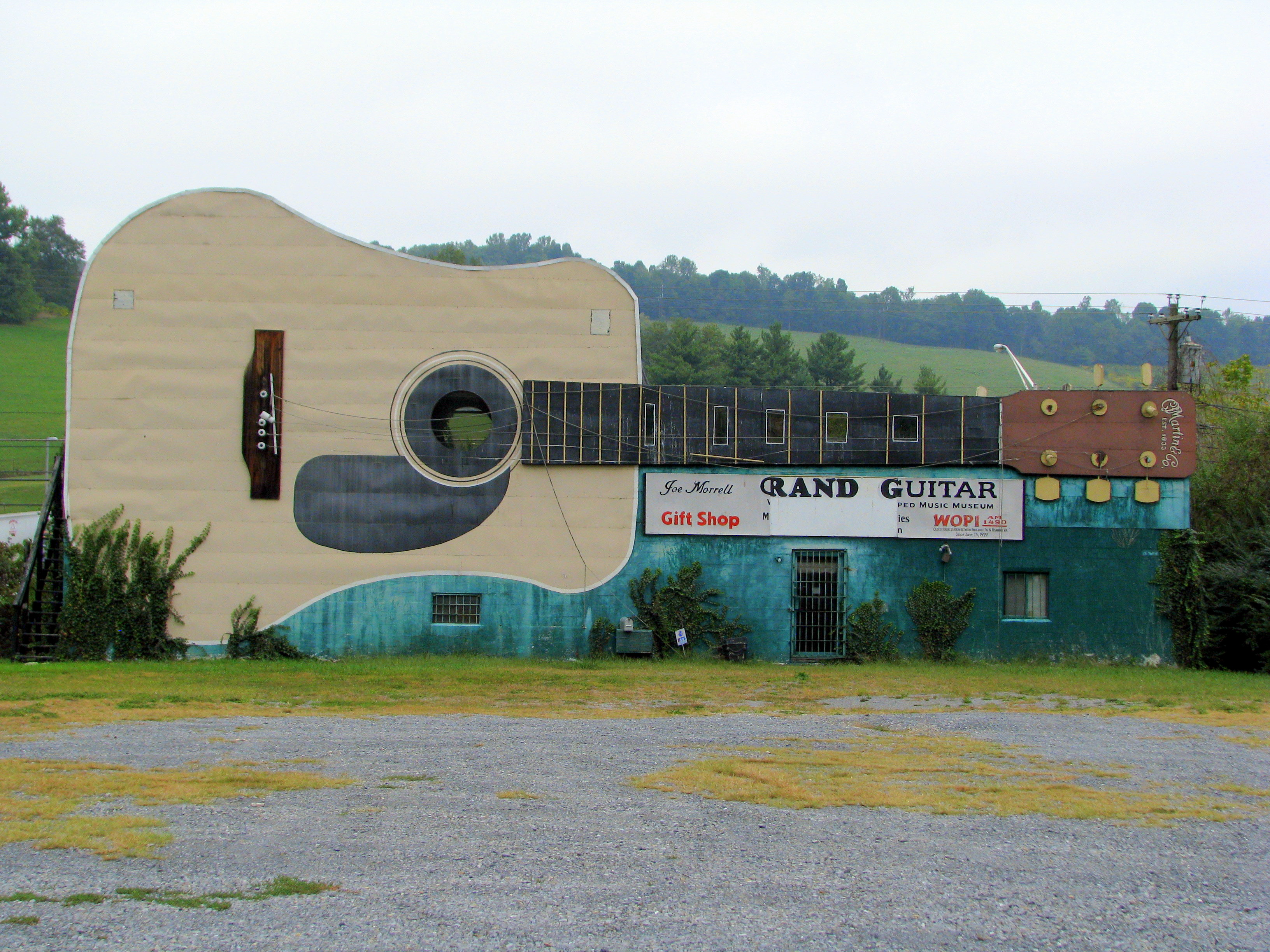
World's Largest Guitar - US11W view
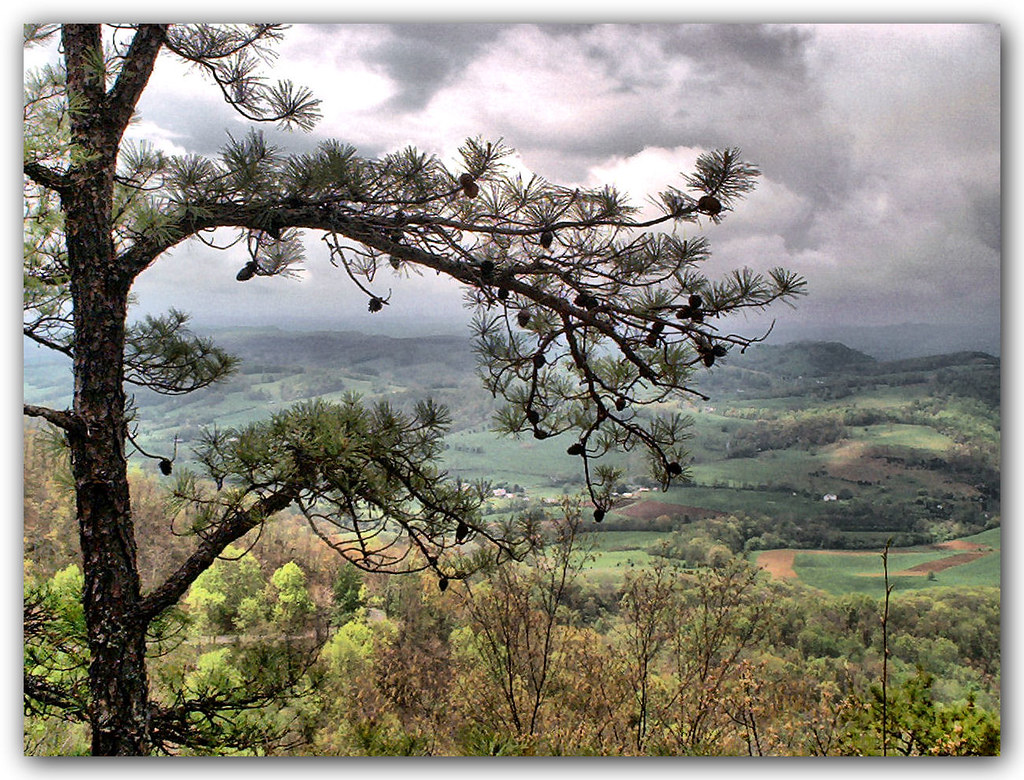
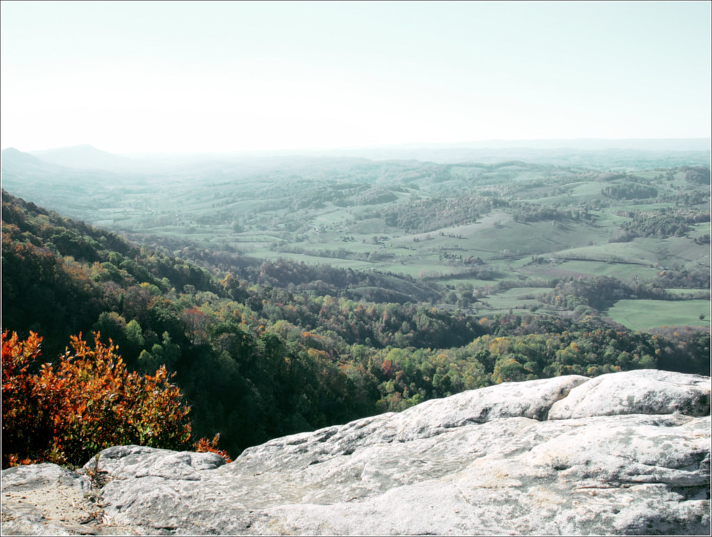
Mountain View
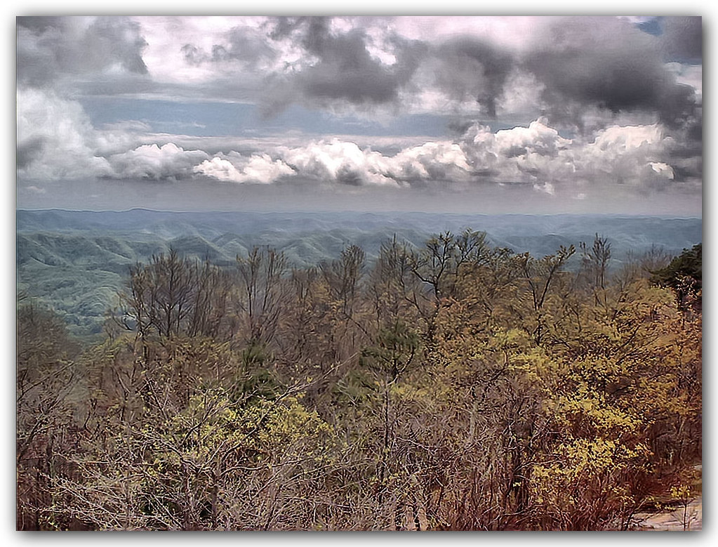
Mountain View
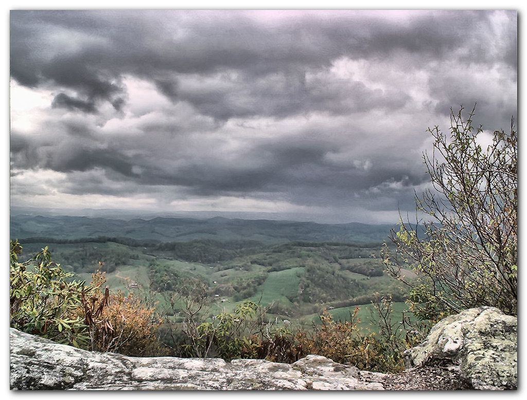
View from the Clouds
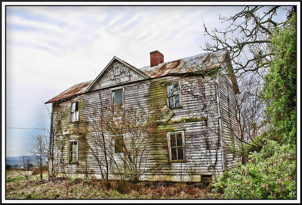
Salyers House
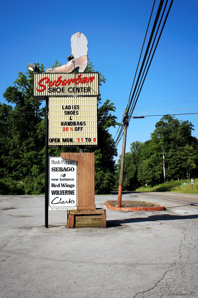
suburban cowboys
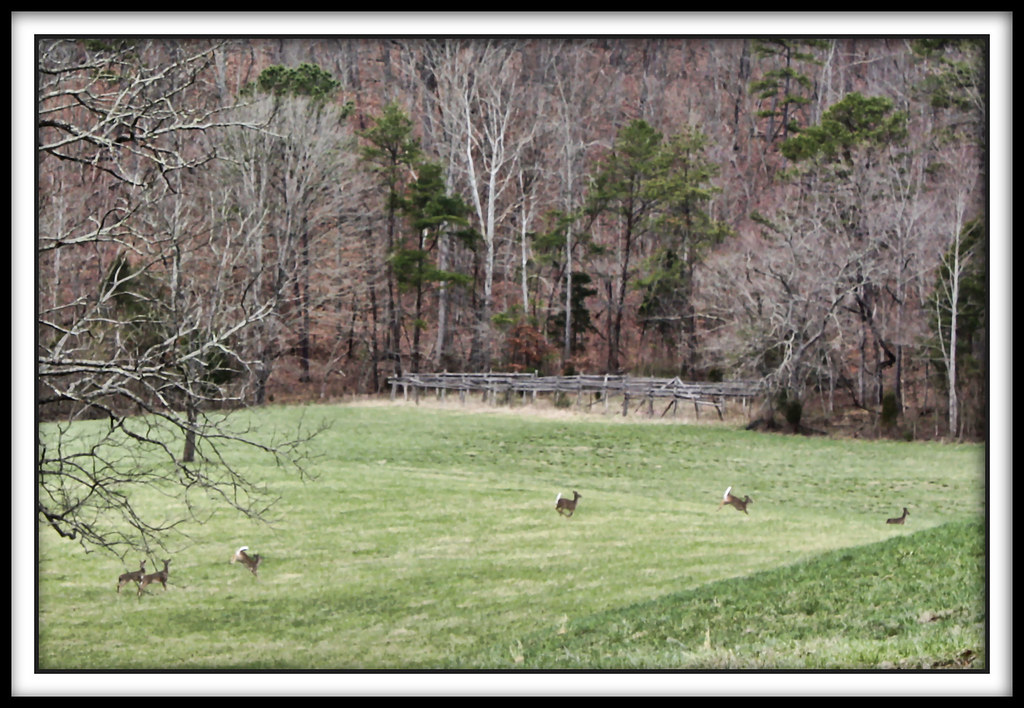
Spring Deer

World's Largest Guitar - Interstate View

Sunny's Markings from the rear view!
medota, virginia
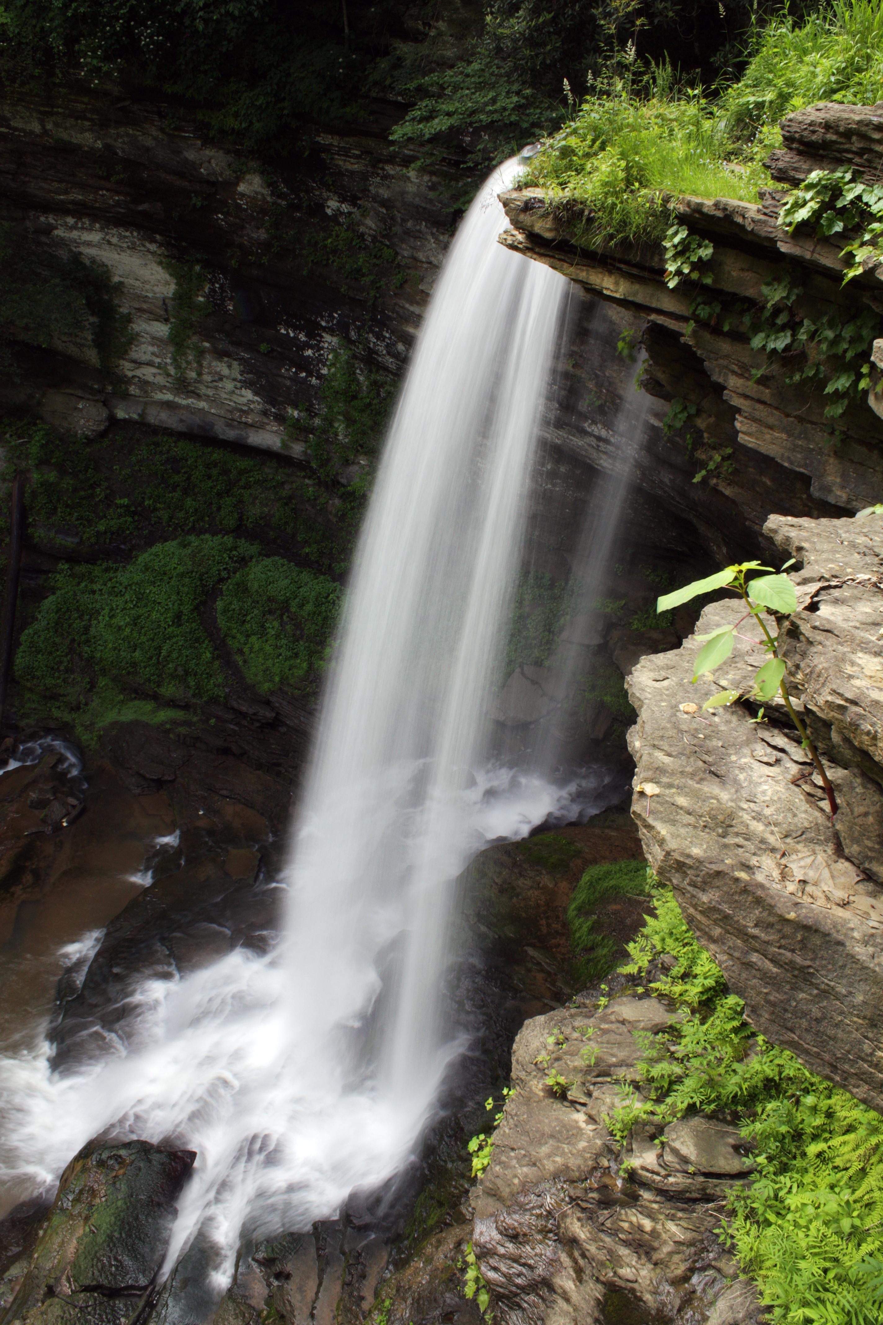
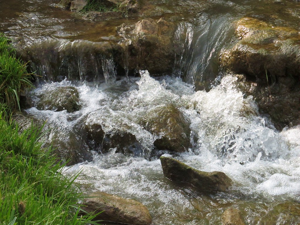
Abrams Falls
Abrams Falls
Abrams Falls
Another view of Clinch Mountain
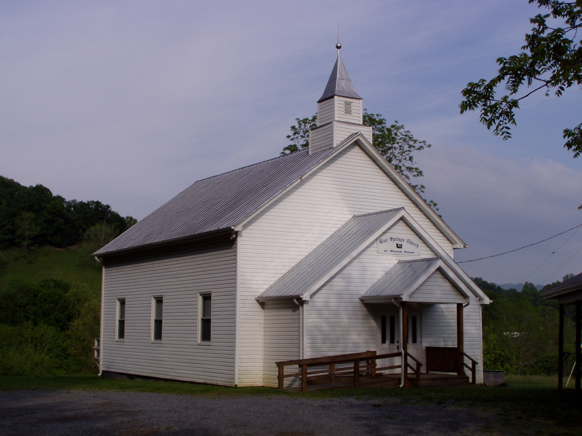
Blue Springs Church at Beech Grove
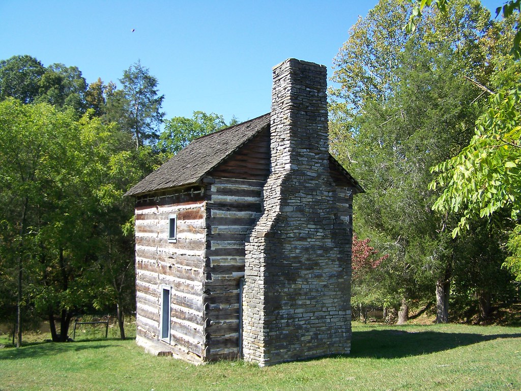
Kilgore Fort House
taking pictures
Percy's view

Another Garden View
Pinnacle Park

Southwest Virginia Landscape (Scott County, Virginia)
Red Barn - Mary's Chapel Road, McCorkle, VA
Turn Off the Paved Road

Copper Ridge Road
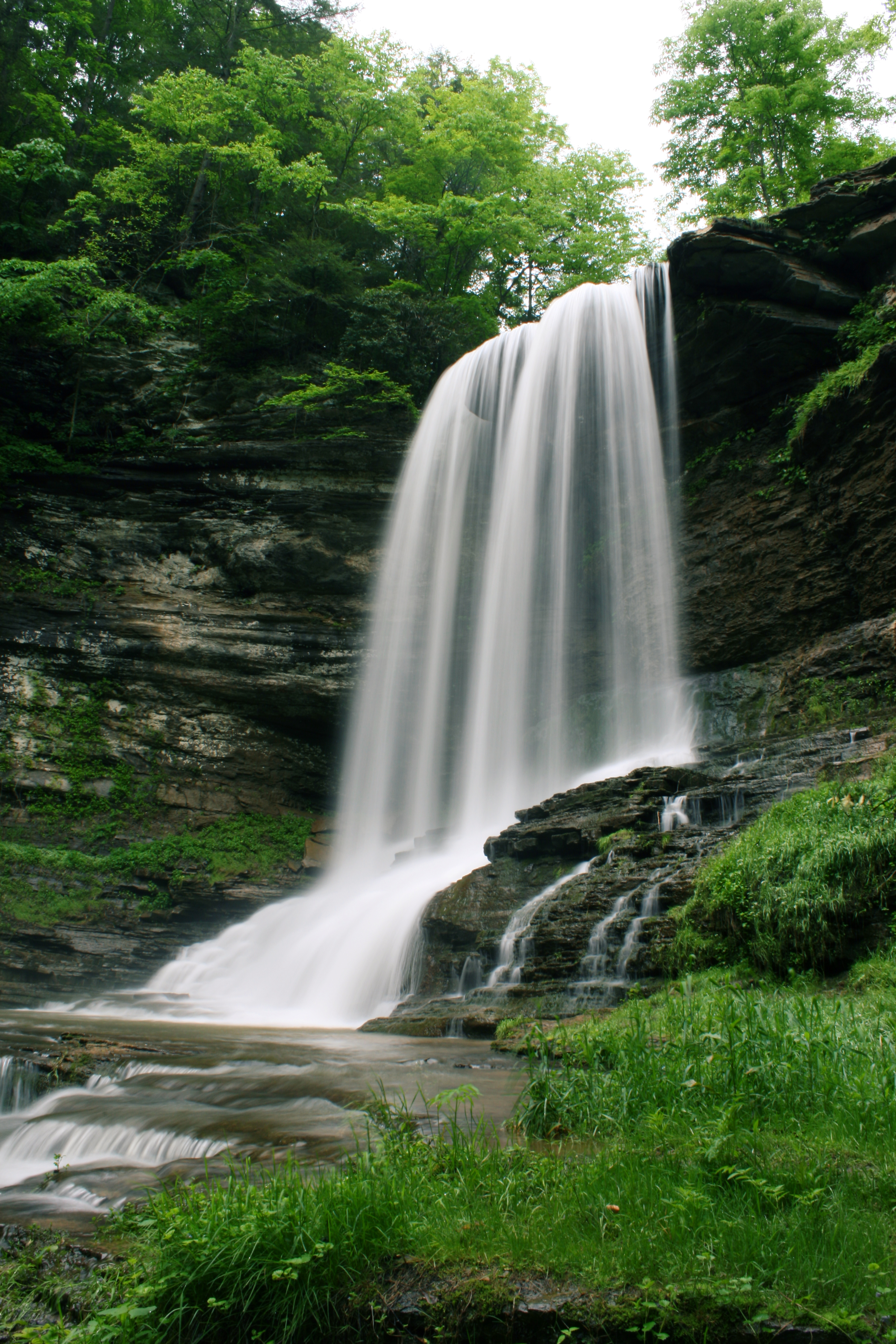
Abrams Falls, Virginia
Bristol TN/VA May 17 2012
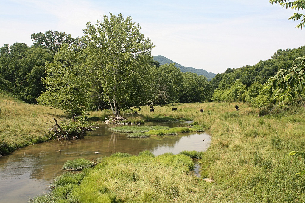
Grazing on Big Moccasin Creek
615 to Carter Fold
Spring sunset colors.
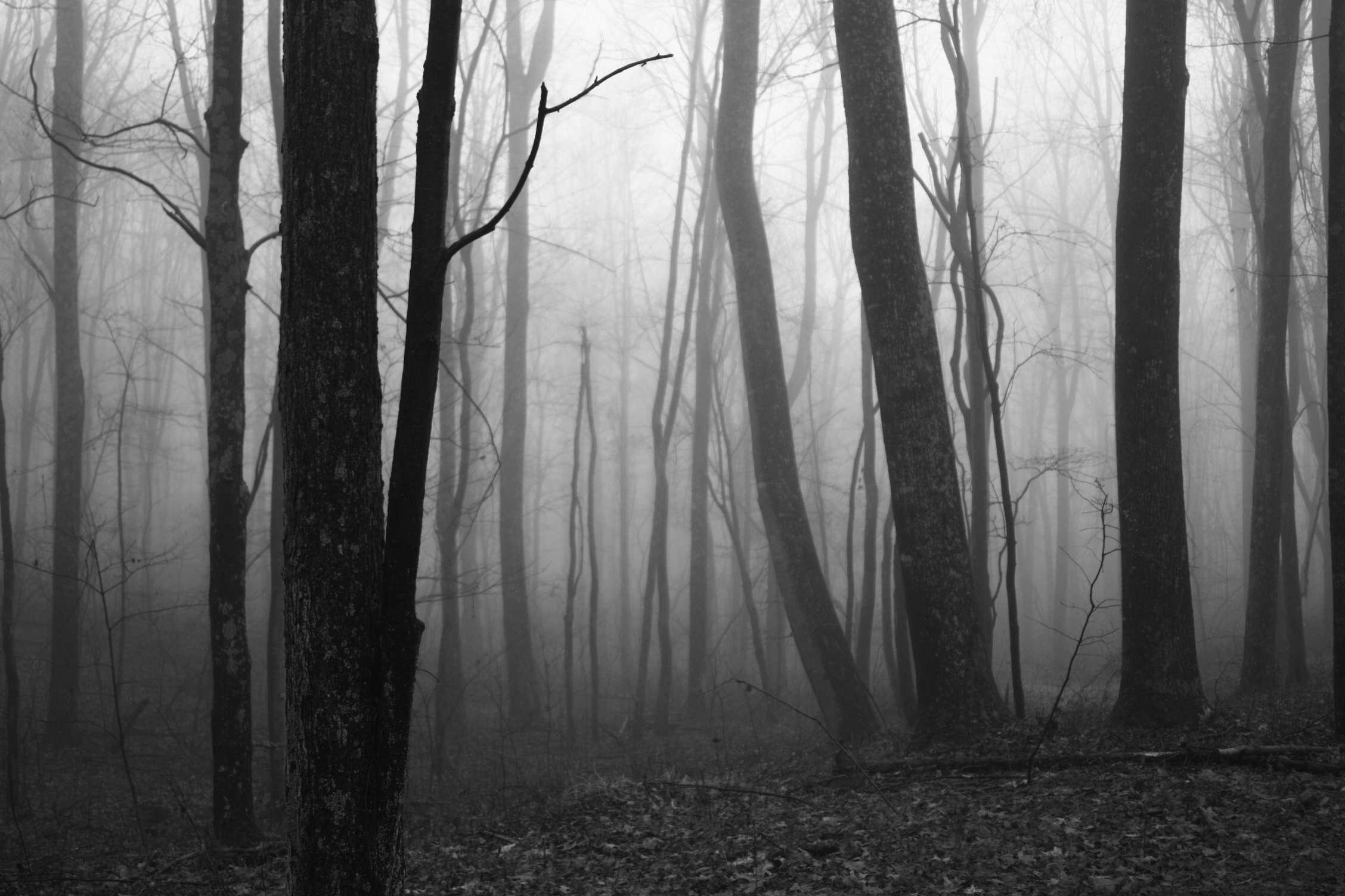
Surprise Fog
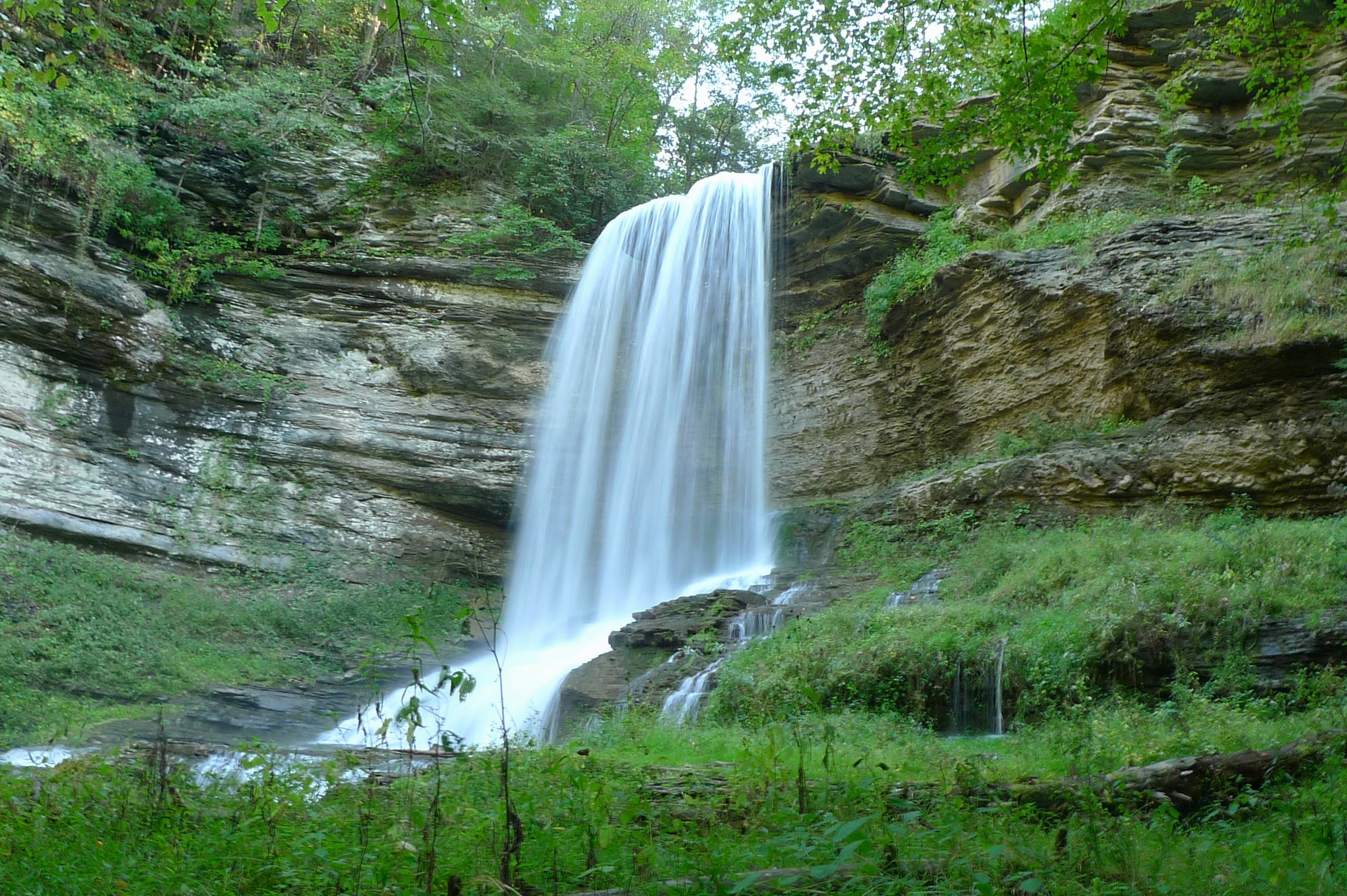
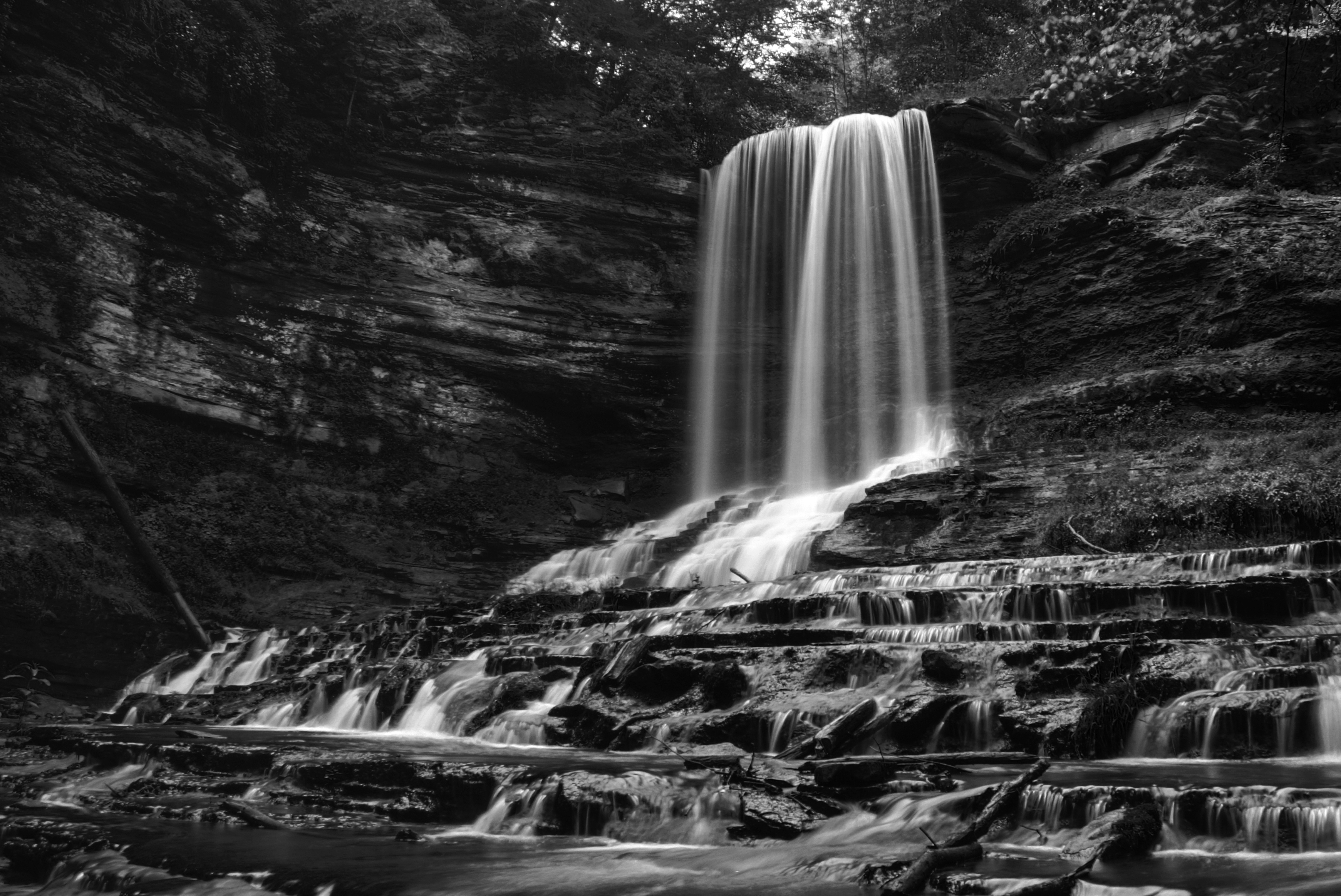
Abrams Falls
side yard

Nickelsville sunset
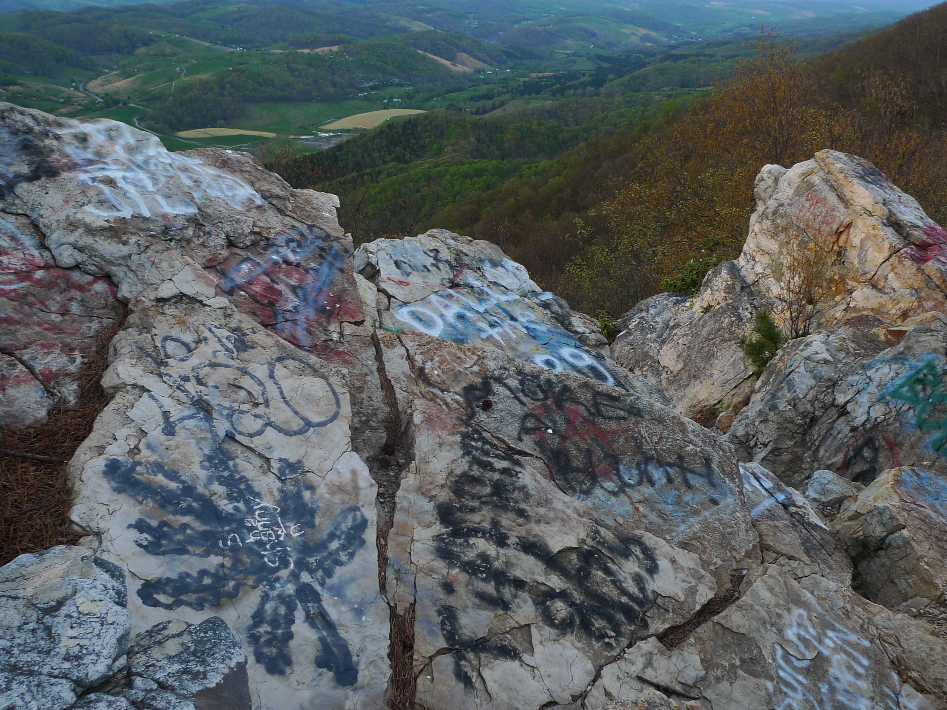
Mendota Firetower Grafitti

rock wall at the back of the property estimated at around 100 yrs old!
Topographic Map of Mendota, VA, USA
Find elevation by address:

Places in Mendota, VA, USA:
Places near Mendota, VA, USA:
5031 Swinging Bridge Rd
20768 Federal Rd
Little Wolf Run Road
Little Wolf Run Road
19872 Turkey Hollow Ln
7068 A P Carter Hwy
286 Appaloosa Dr
286 Appaloosa Dr
286 Appaloosa Dr
Cove Creek Rd, Bristol, VA, USA
21508 Grindstone Branch Rd
Bristol Hwy, Bristol, VA, USA
3459 Dean Hollow Rd
3457 State Rte 682
3457 Dean Hollow Rd
State Rte, Hiltons, VA, USA
Gate City Hwy, Bristol, VA, USA
11570 Bristol Hwy
Gouldman Branch
Maces Spring
Recent Searches:
- Elevation of County Rd, Enterprise, AL, USA
- Elevation of Kolchuginsky District, Vladimir Oblast, Russia
- Elevation of Shustino, Vladimir Oblast, Russia
- Elevation of Lampiasi St, Sarasota, FL, USA
- Elevation of Elwyn Dr, Roanoke Rapids, NC, USA
- Elevation of Congressional Dr, Stevensville, MD, USA
- Elevation of Bellview Rd, McLean, VA, USA
- Elevation of Stage Island Rd, Chatham, MA, USA
- Elevation of Shibuya Scramble Crossing, 21 Udagawacho, Shibuya City, Tokyo -, Japan
- Elevation of Jadagoniai, Kaunas District Municipality, Lithuania