Elevation map of Mehedinți County, Romania
Location: Romania >
Longitude: 22.9044157
Latitude: 44.5515053
Elevation: 332m / 1089feet
Barometric Pressure: 97KPa
Elevation Map:
Satellite Map:
Related Photos:

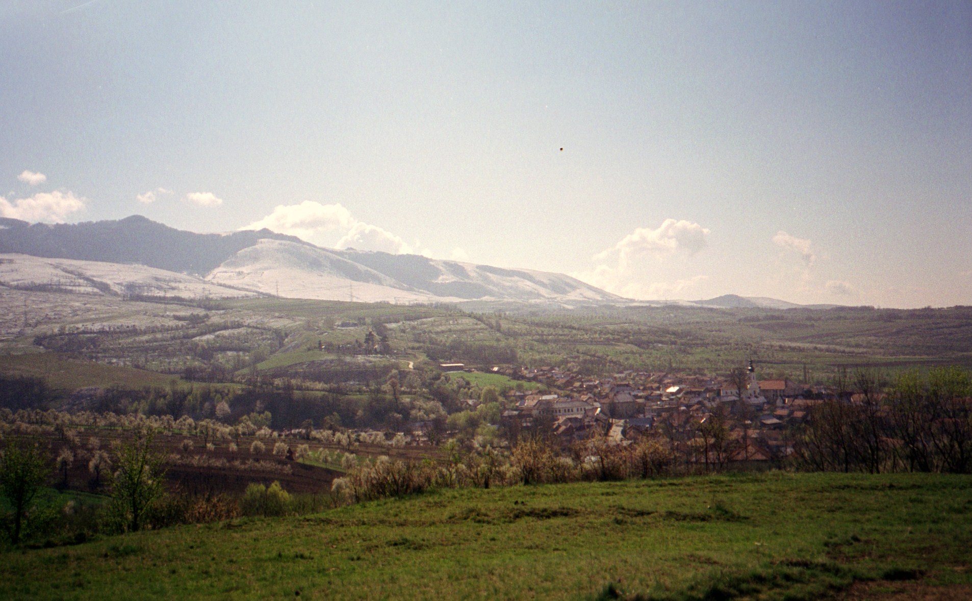
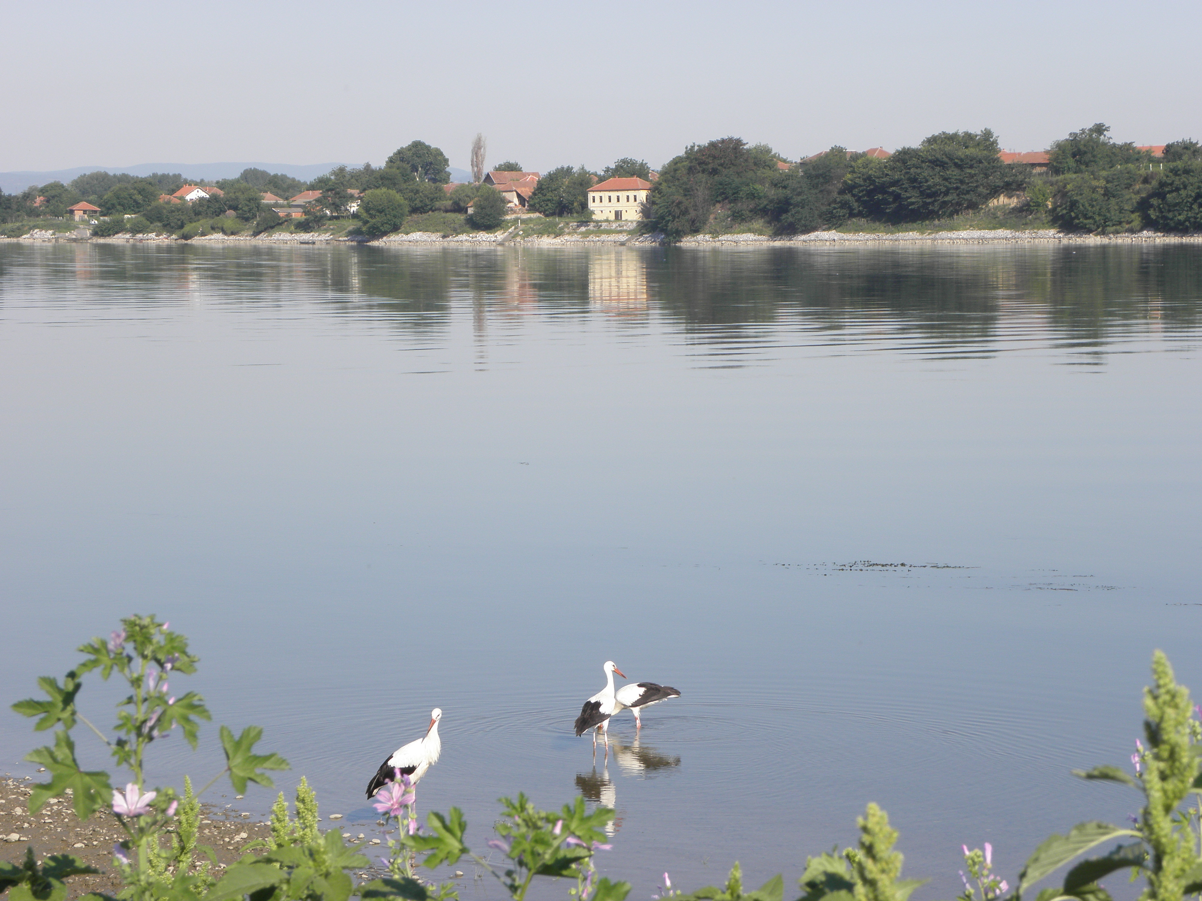
Sunset Romania

Photo 347

Photo 340
Les Carpates
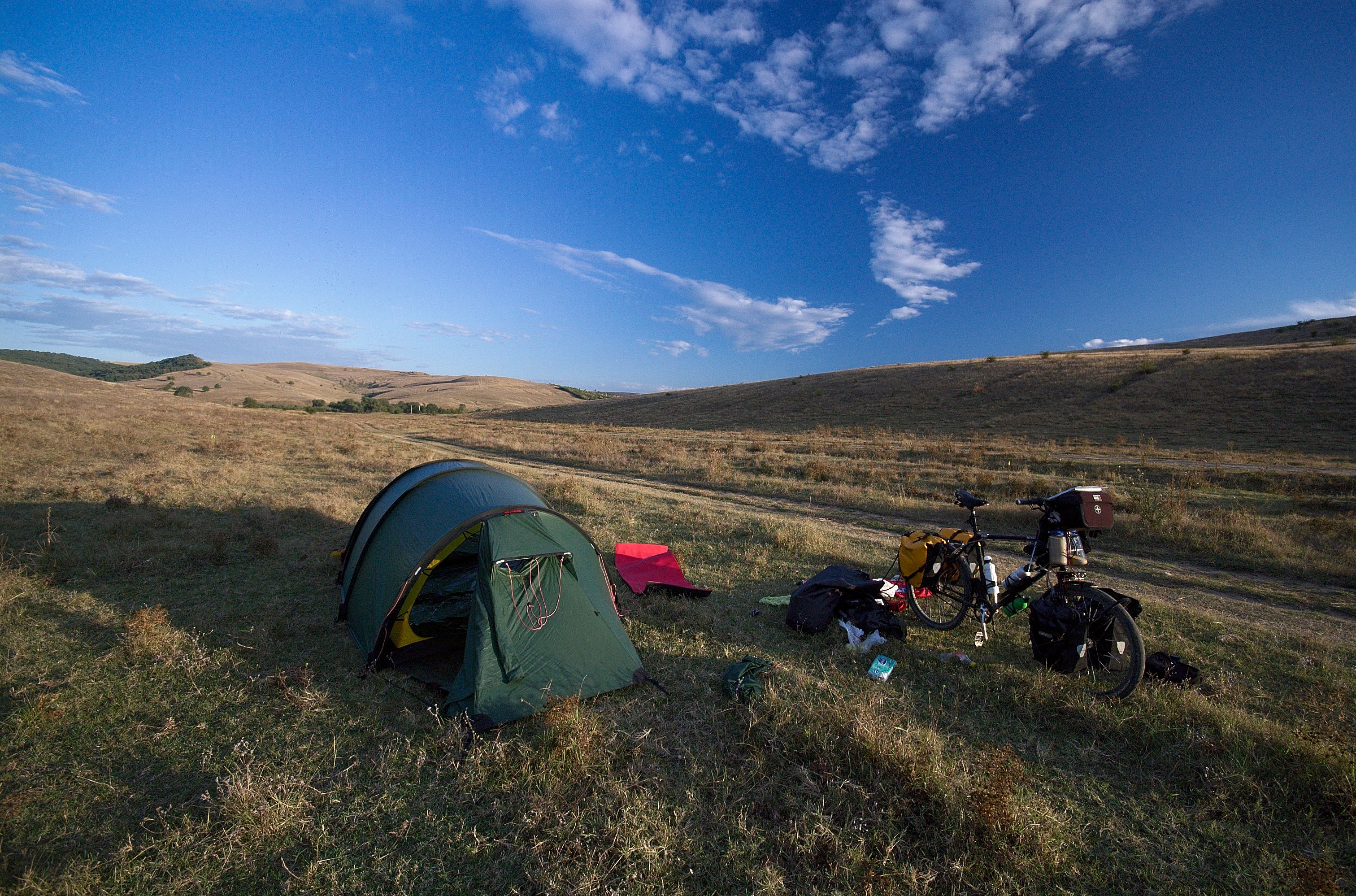
The Magic Valley
The Magic Valley
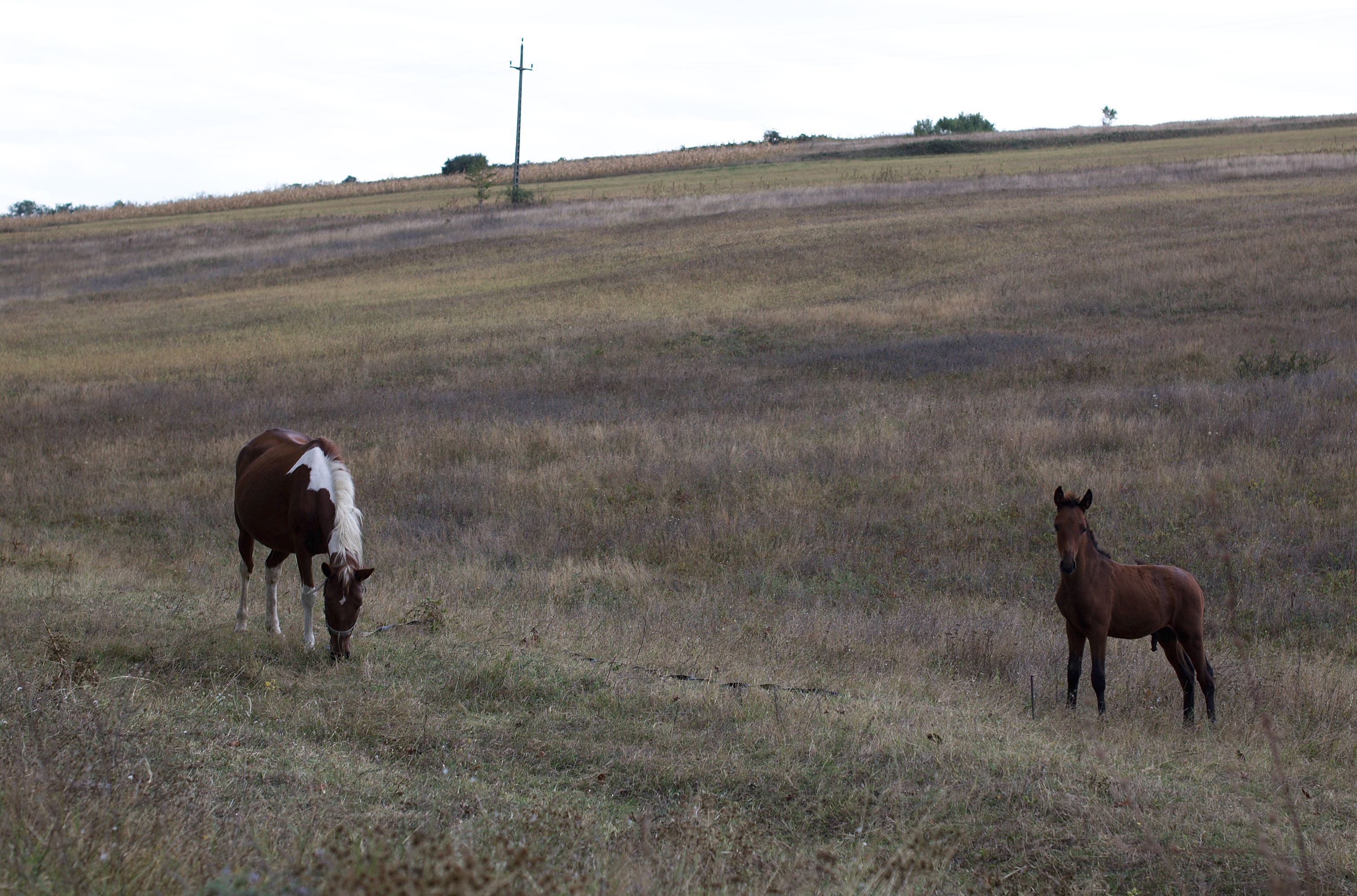
The Magic Valley
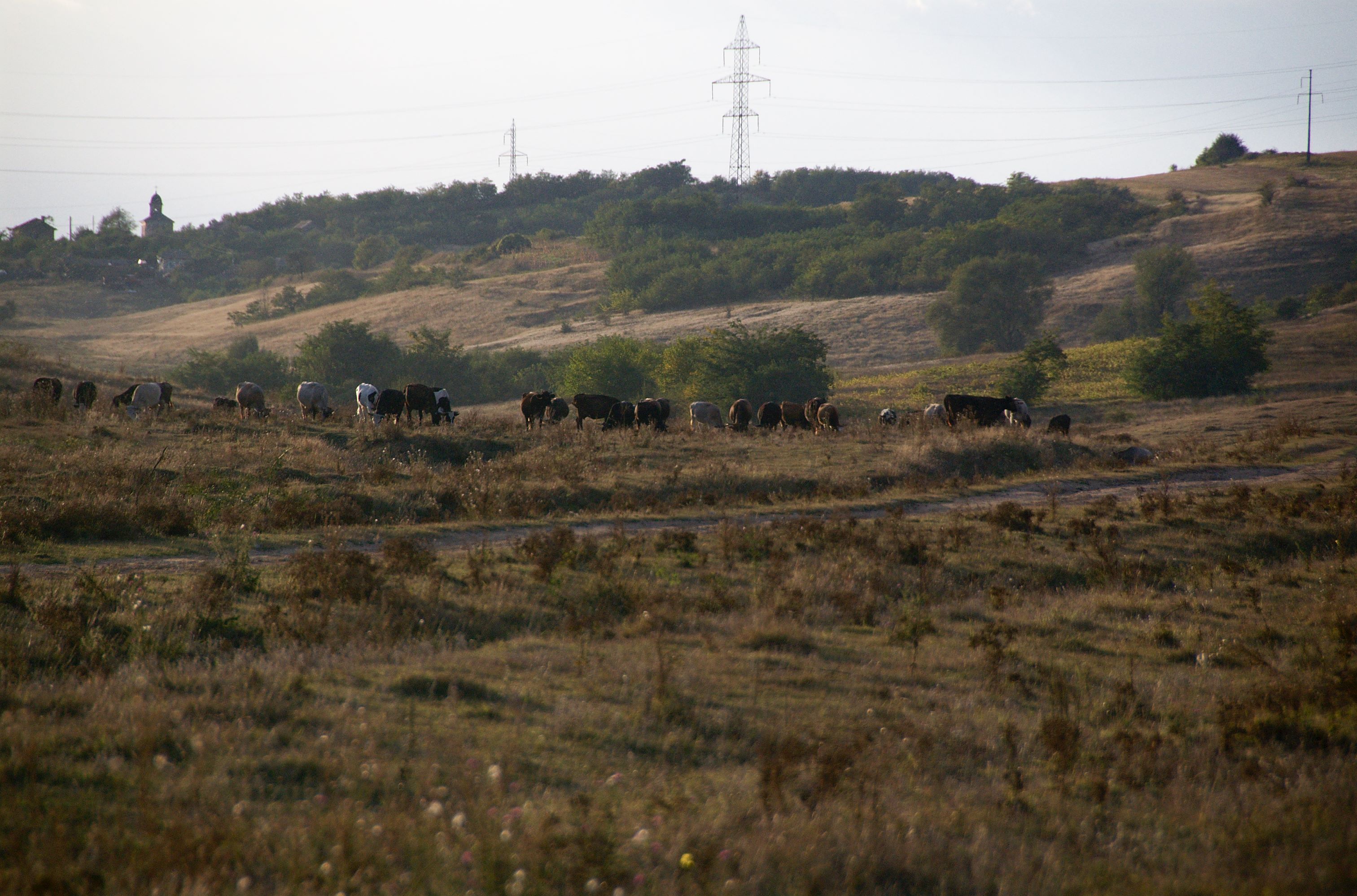
The Magic Valley
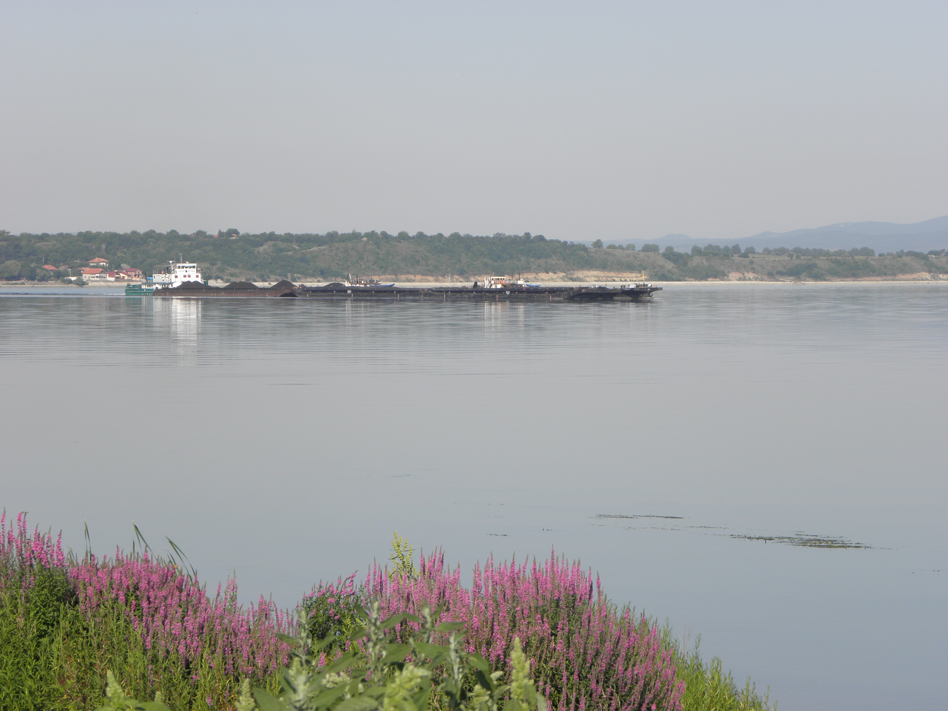
Ostrovu Corbului
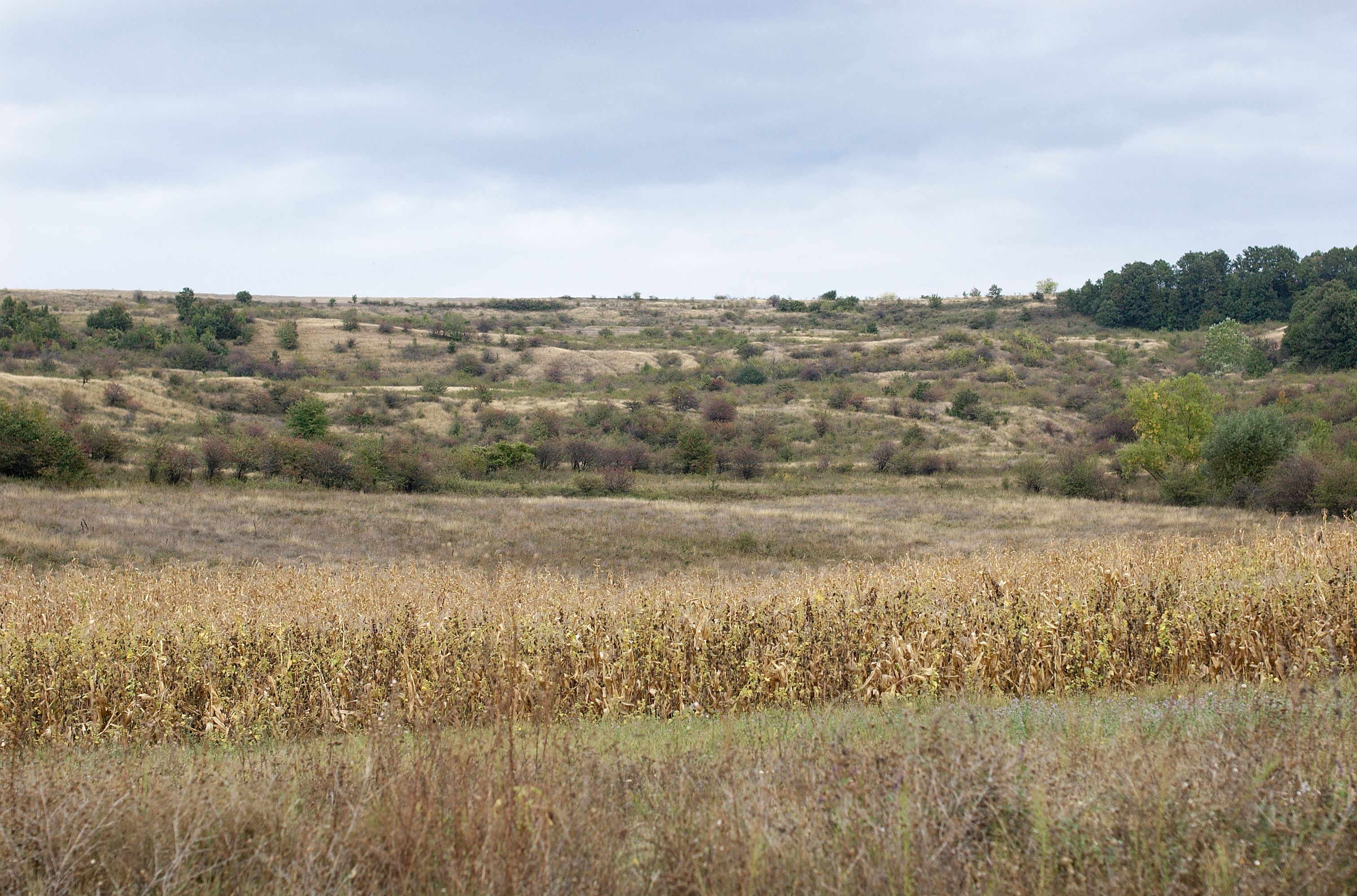
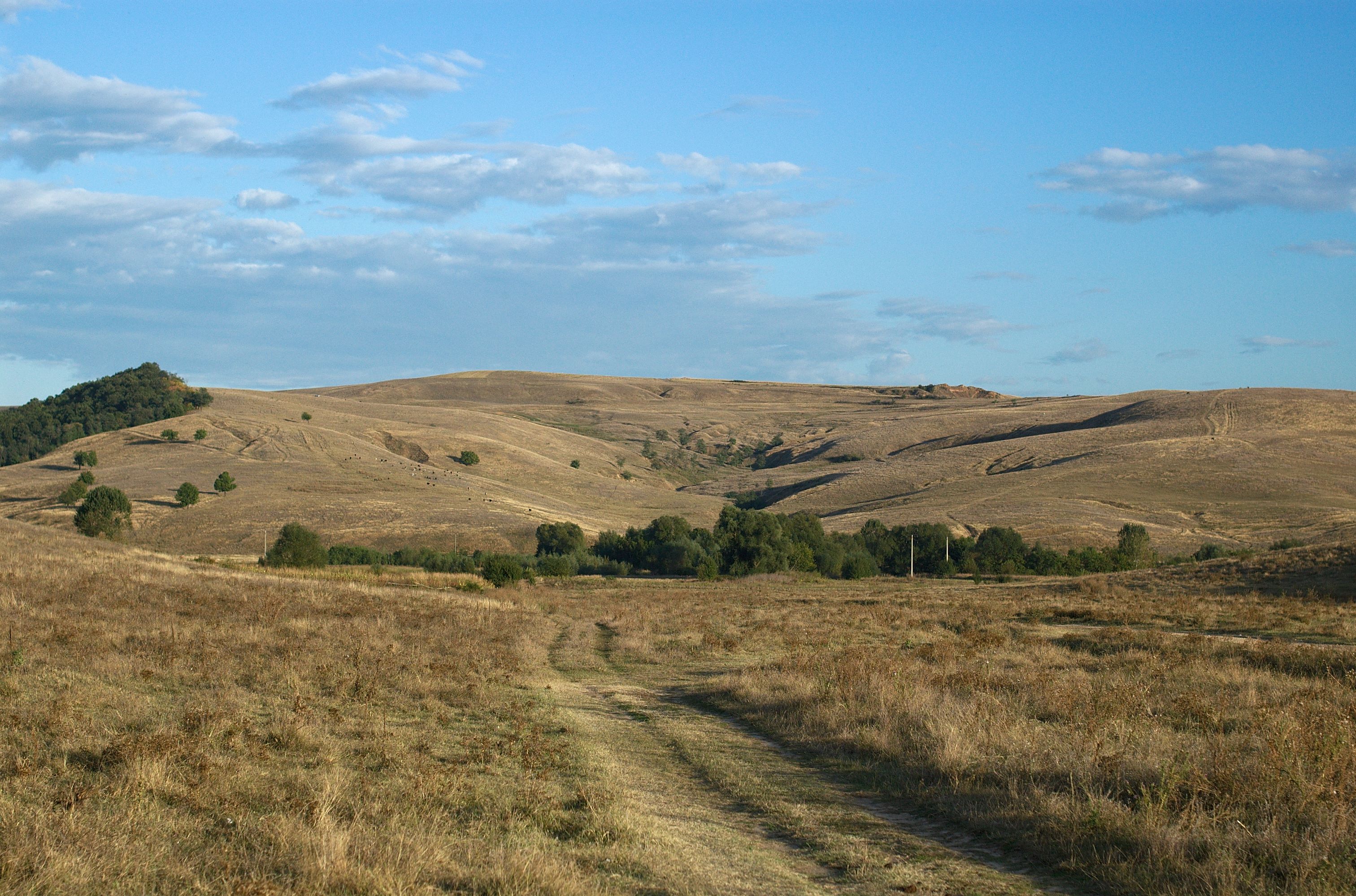
The Magic Valley
Ostrovu Corbului
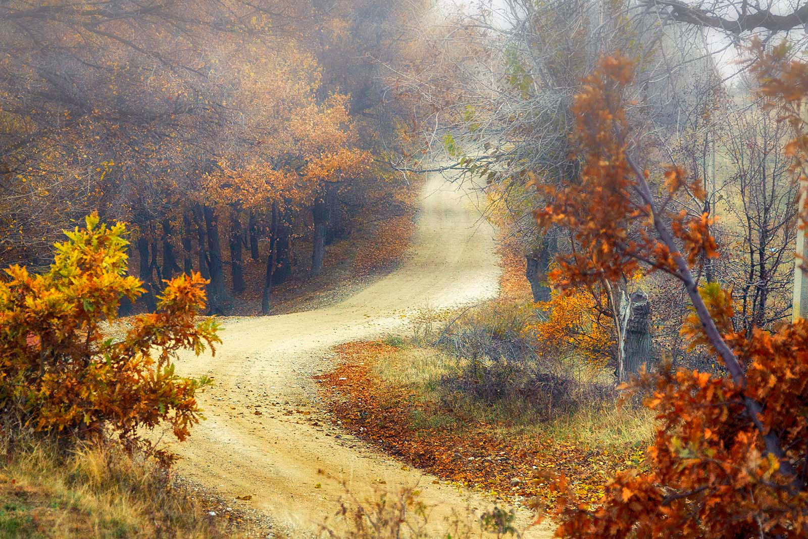
autumn road
Topographic Map of Mehedinți County, Romania
Find elevation by address:

Places in Mehedinți County, Romania:
Places near Mehedinți County, Romania:
Drobeta - Turnu Severin
Motru
Drobeta-turnu Severin
Motru
Vrancea
Gura Văii
Iron Gates I
Iron Gates
Baia De Aramă
Strada Victoriei 69, Baia de Aramă, Romania
Turceni
Bregovo
Strada Sfânta Paraschiva 47, Turceni, Romania
Turceni
Iliesti
Strada Sfântul Nicolae 5, Turceni, Romania
Gorj County
Vidin
Vidin
Vidin
Recent Searches:
- Elevation of Tenjo, Cundinamarca, Colombia
- Elevation of Côte-des-Neiges, Montreal, QC H4A 3J6, Canada
- Elevation of Bobcat Dr, Helena, MT, USA
- Elevation of Zu den Ihlowbergen, Althüttendorf, Germany
- Elevation of Badaber, Peshawar, Khyber Pakhtunkhwa, Pakistan
- Elevation of SE Heron Loop, Lincoln City, OR, USA
- Elevation of Slanický ostrov, 01 Námestovo, Slovakia
- Elevation of Spaceport America, Co Rd A, Truth or Consequences, NM, USA
- Elevation of Warwick, RI, USA
- Elevation of Fern Rd, Whitmore, CA, USA