Elevation of Turceni, Romania
Location: Romania > Gorj County > Turceni >
Longitude: 23.374199
Latitude: 44.674076
Elevation: 148m / 486feet
Barometric Pressure: 100KPa
Elevation Map:
Satellite Map:
Related Photos:
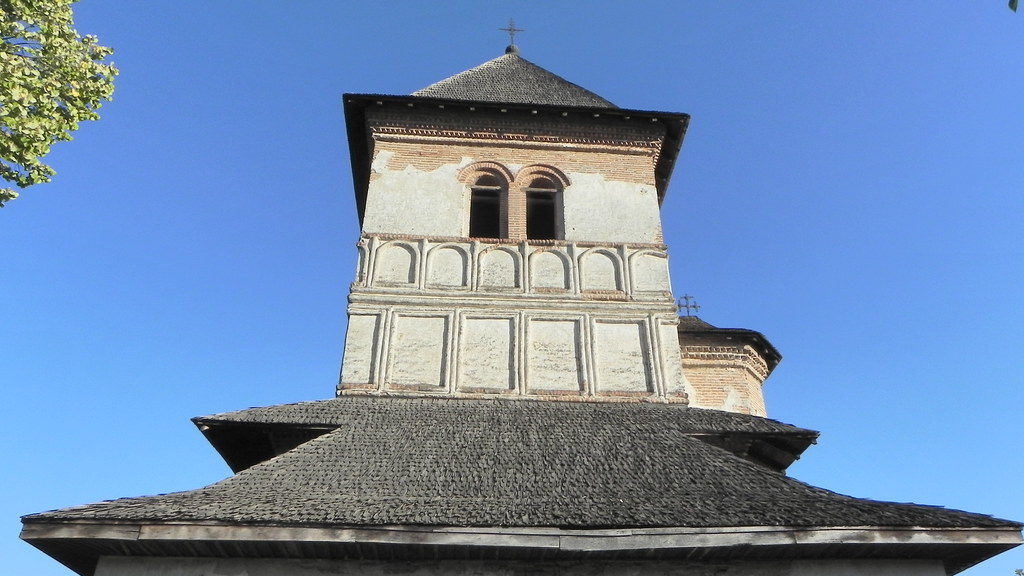
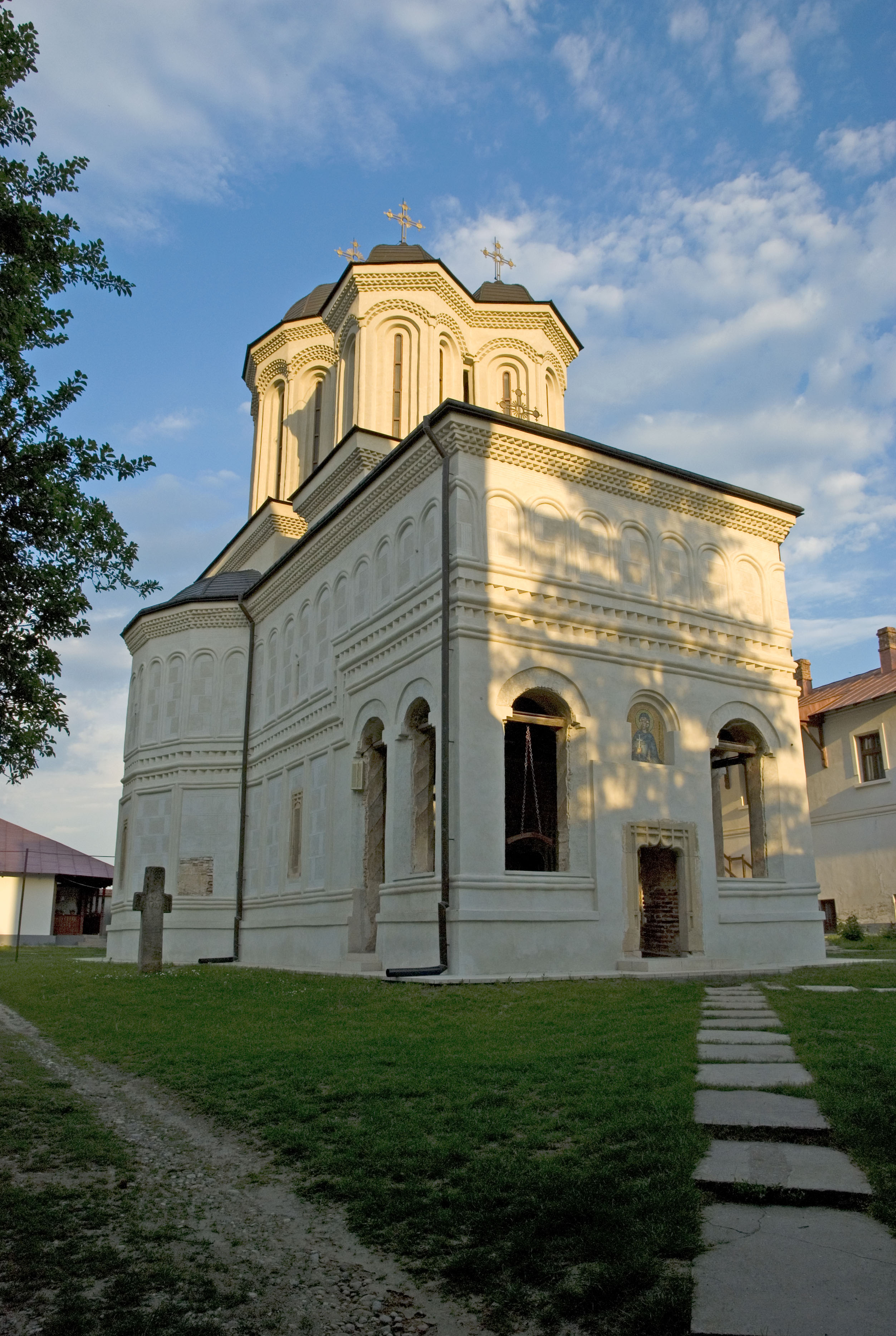
Manastirea Strehaia
Manastirea Strehaia
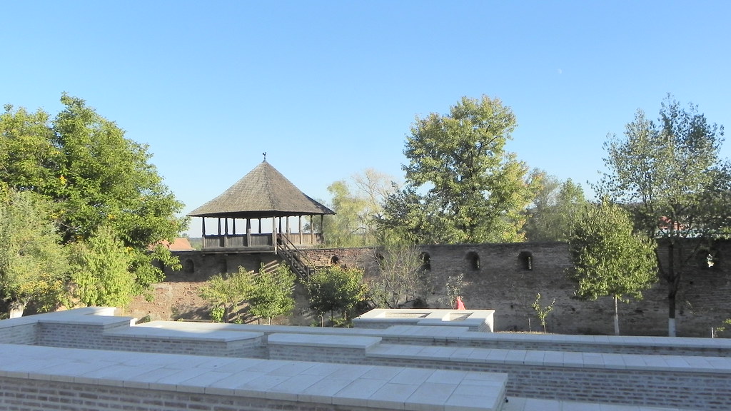
manastirea gura motrului 2
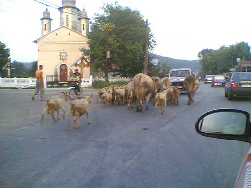
20082006(025)
Topographic Map of Turceni, Romania
Find elevation by address:

Places in Turceni, Romania:
Places near Turceni, Romania:
Strada Sfânta Paraschiva 47, Turceni, Romania
Turceni
Strada Sfântul Nicolae 5, Turceni, Romania
Iliesti
Filiași
Orașul Filiași
Gorj County
Motru
Motru
Mehedinți County
Strada Făgăraș 17
Craiova
Craiova
Dolj County
Baia De Aramă
Strada Victoriei 69, Baia de Aramă, Romania
Drobeta - Turnu Severin
Drobeta-turnu Severin
Vrancea
Gura Văii
Recent Searches:
- Elevation of Zimmer Trail, Pennsylvania, USA
- Elevation of 87 Kilmartin Ave, Bristol, CT, USA
- Elevation of Honghe National Nature Reserve, QP95+PJP, Tongjiang, Heilongjiang, Jiamusi, Heilongjiang, China
- Elevation of Hercules Dr, Colorado Springs, CO, USA
- Elevation of Szlak pieszy czarny, Poland
- Elevation of Griffing Blvd, Biscayne Park, FL, USA
- Elevation of Kreuzburger Weg 13, Düsseldorf, Germany
- Elevation of Gateway Blvd SE, Canton, OH, USA
- Elevation of East W.T. Harris Boulevard, E W.T. Harris Blvd, Charlotte, NC, USA
- Elevation of West Sugar Creek, Charlotte, NC, USA