Elevation of McIntosh County, ND, USA
Location: United States > North Dakota >
Longitude: -99.376592
Latitude: 46.054323
Elevation: 612m / 2008feet
Barometric Pressure: 94KPa
Elevation Map:
Satellite Map:
Related Photos:

Structural failure on the East side

Liftoff!!

Structural failure on the West side
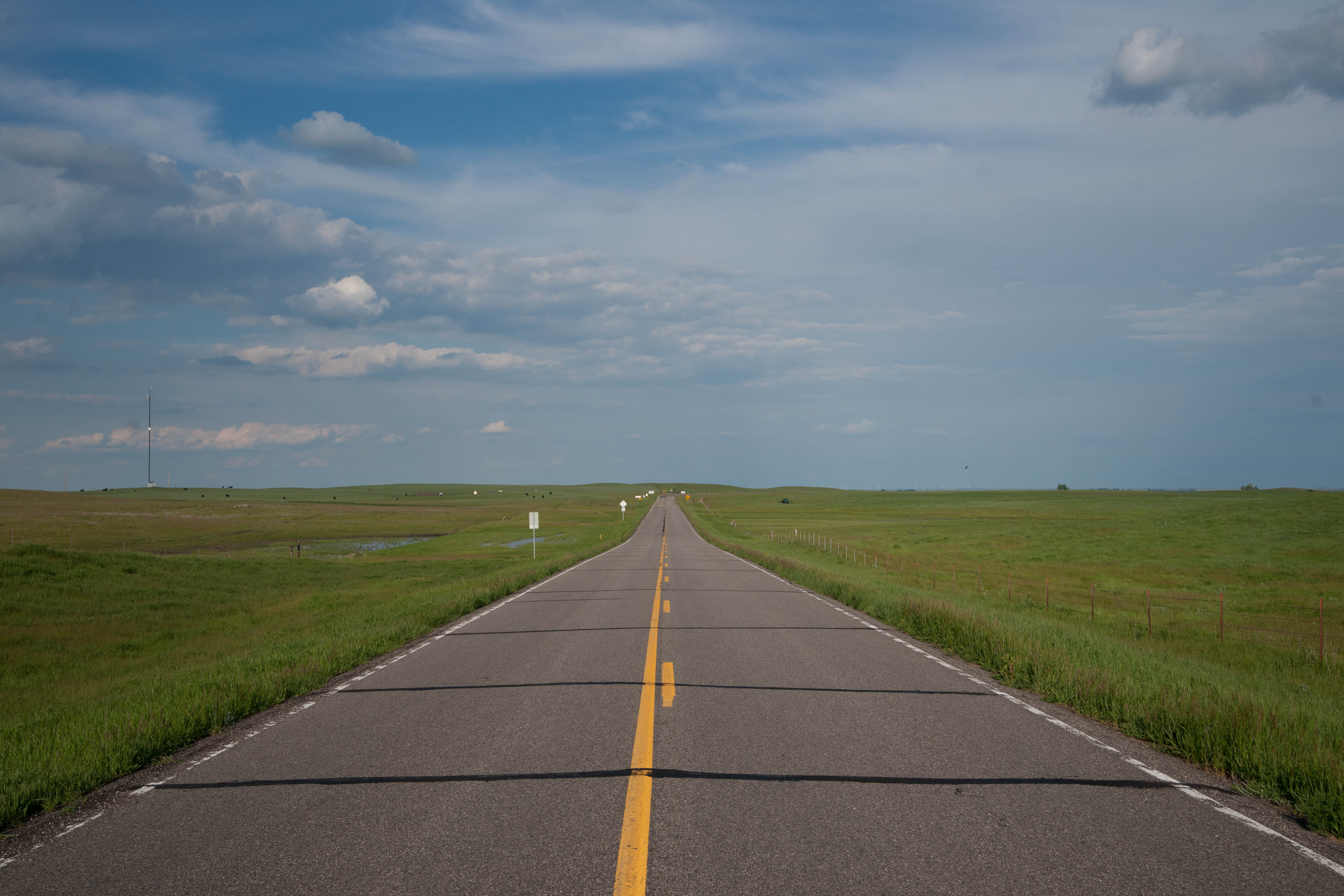
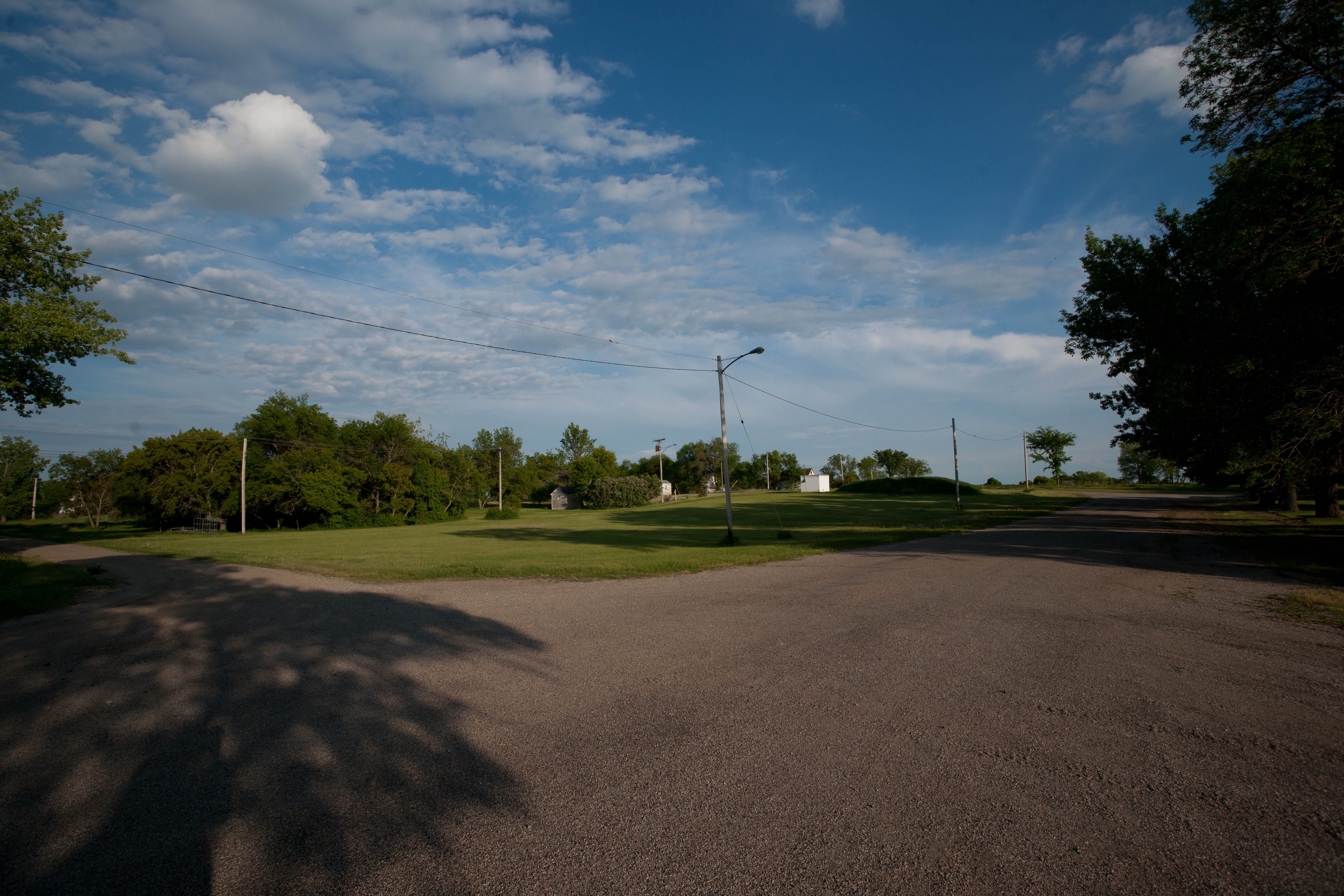
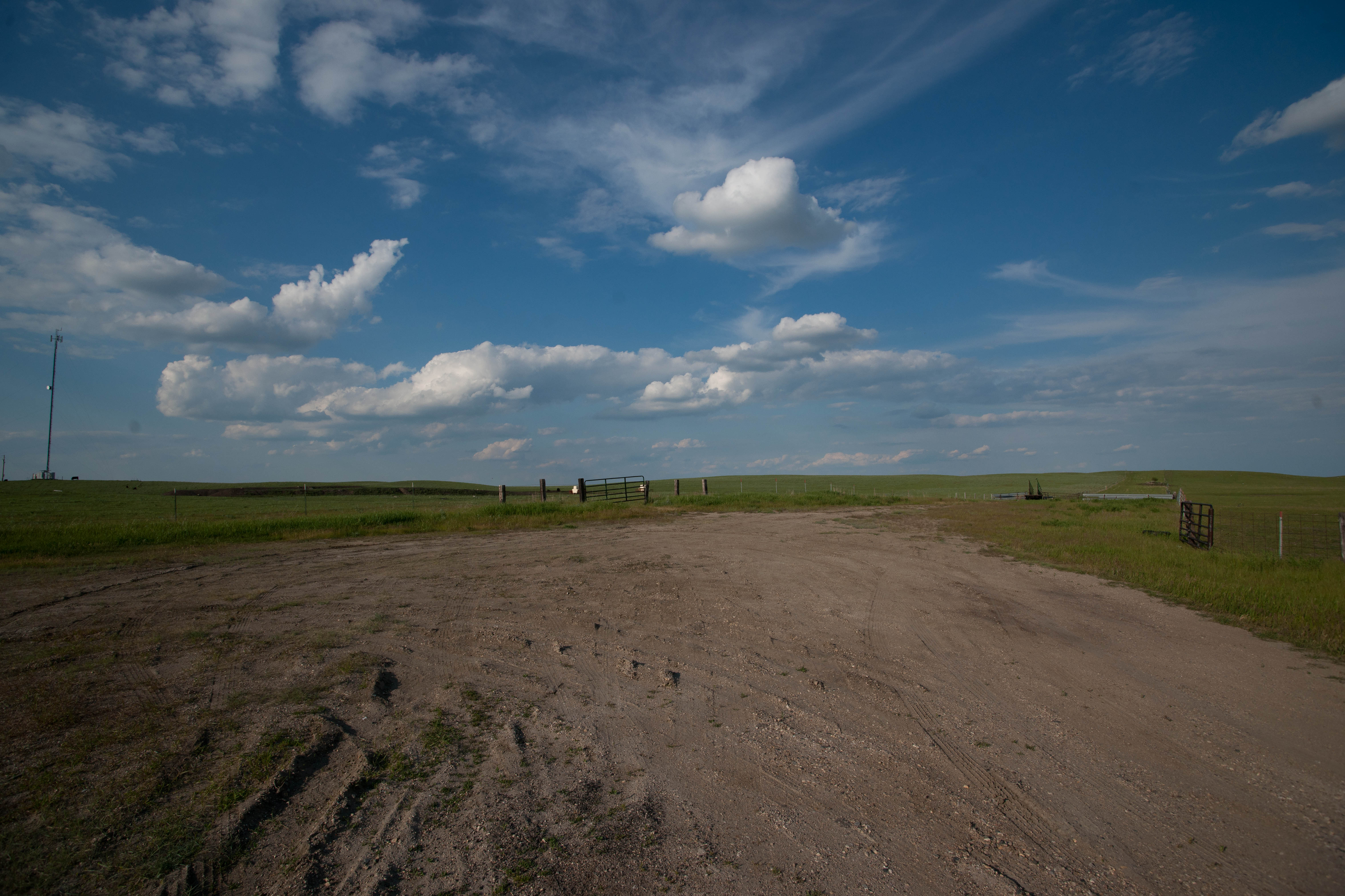
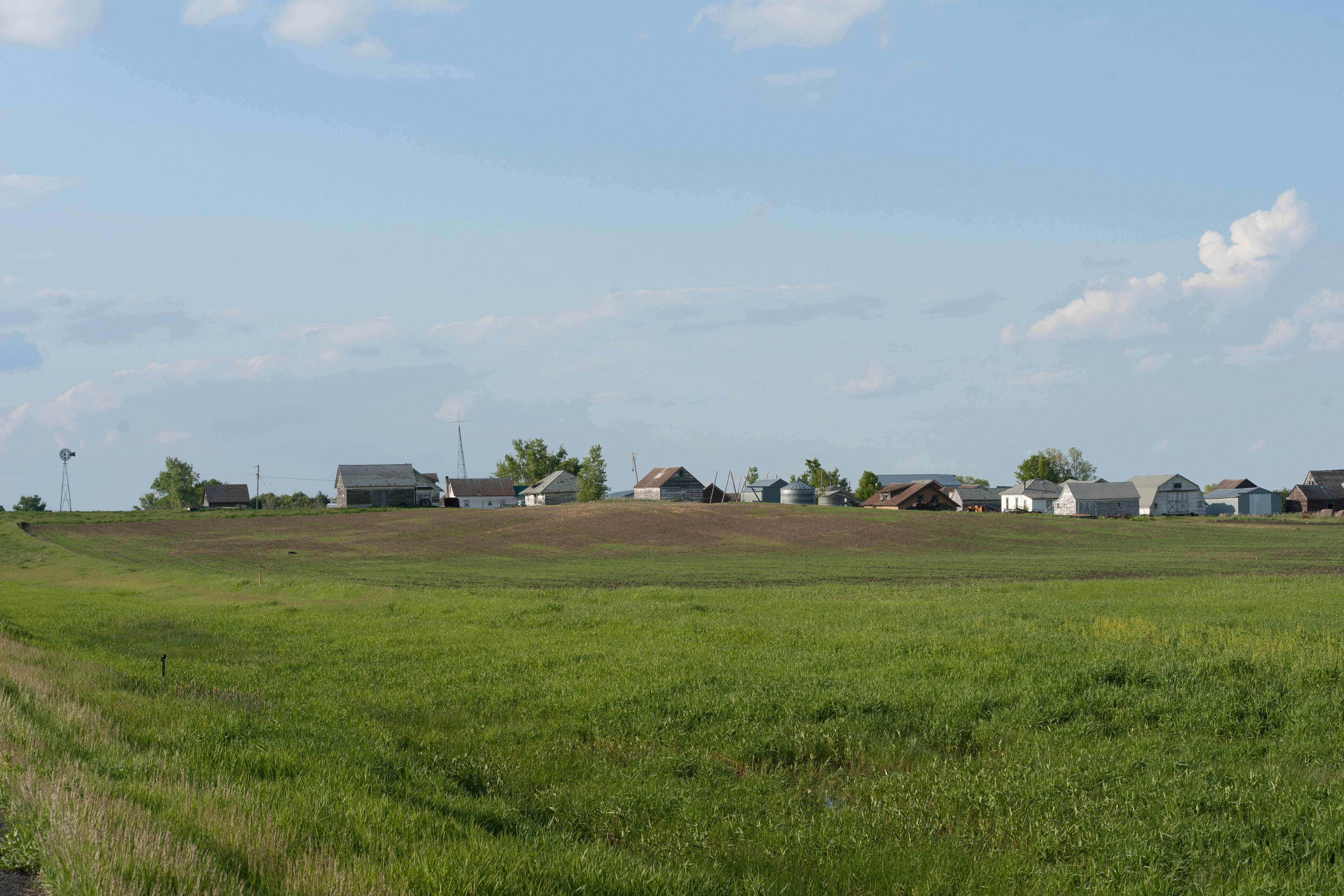
Lowell, North Dakota
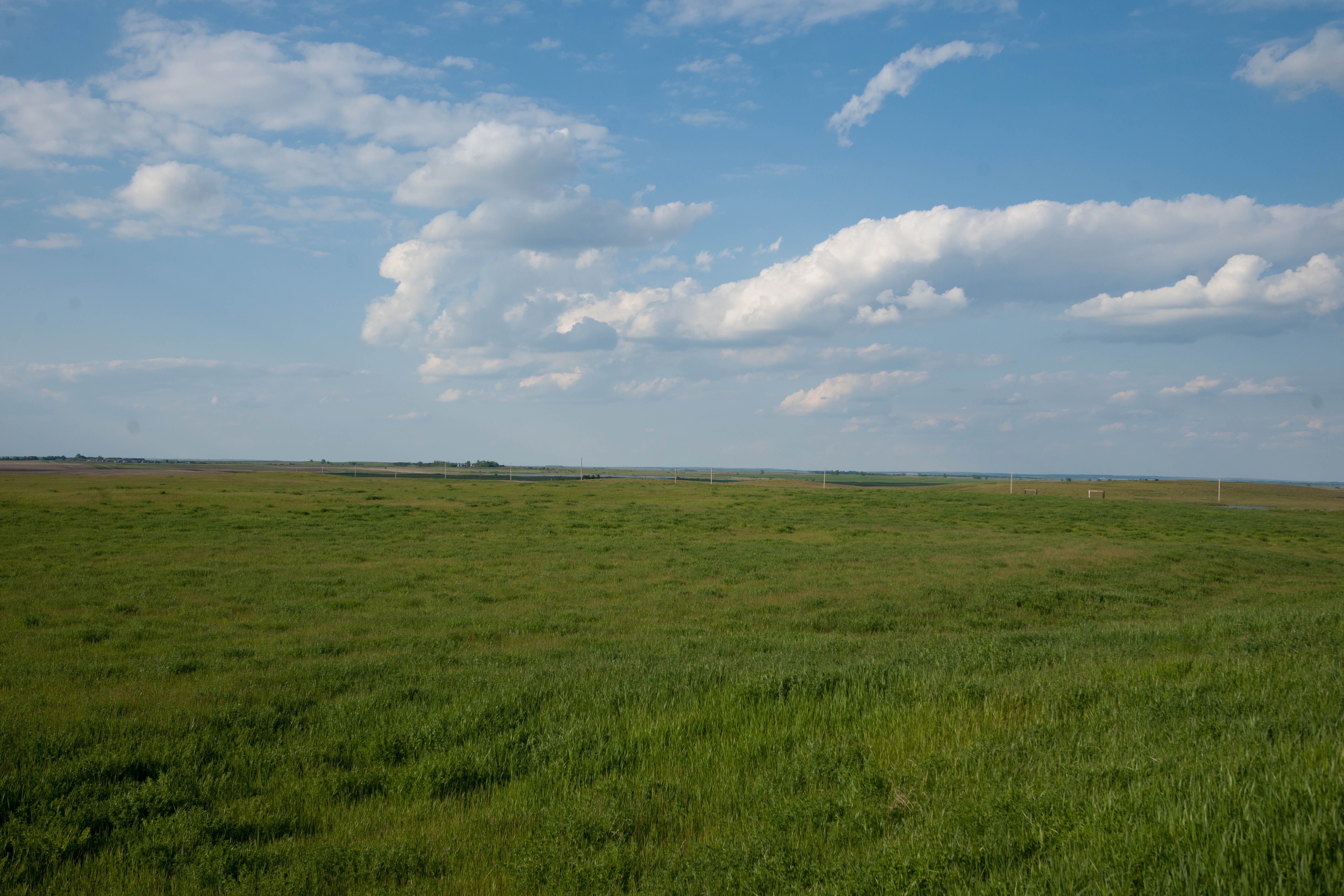
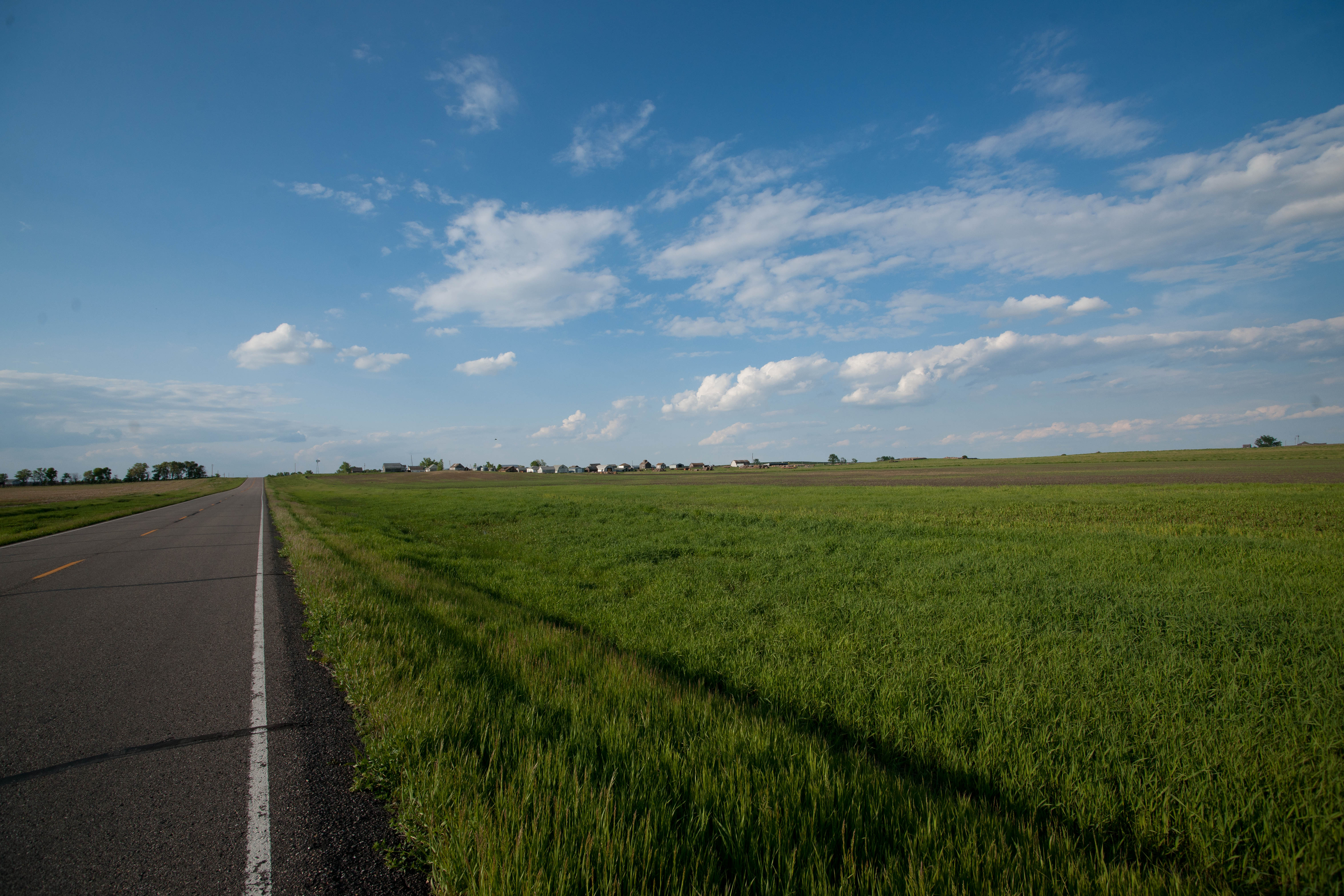
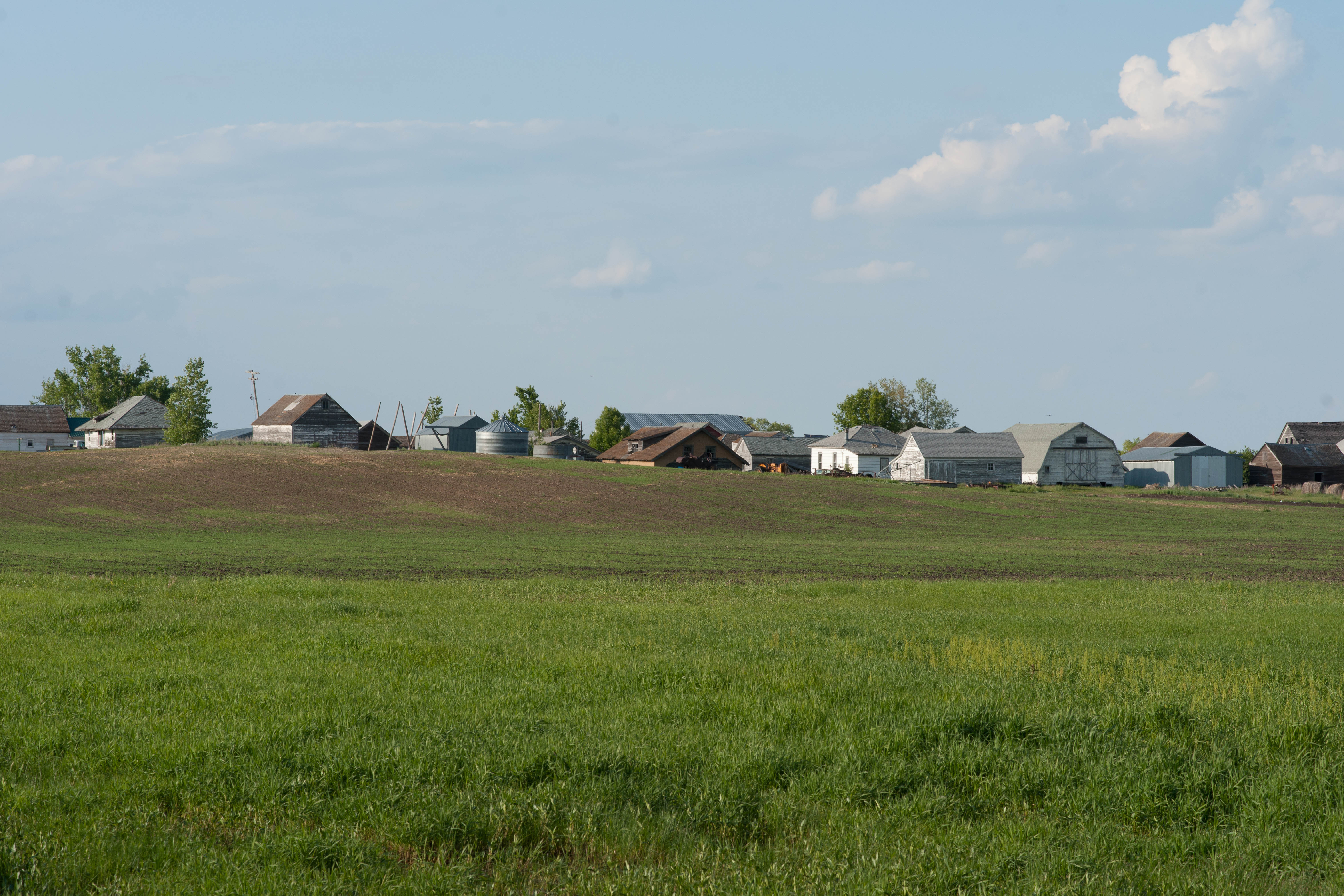
Lowell, North Dakota
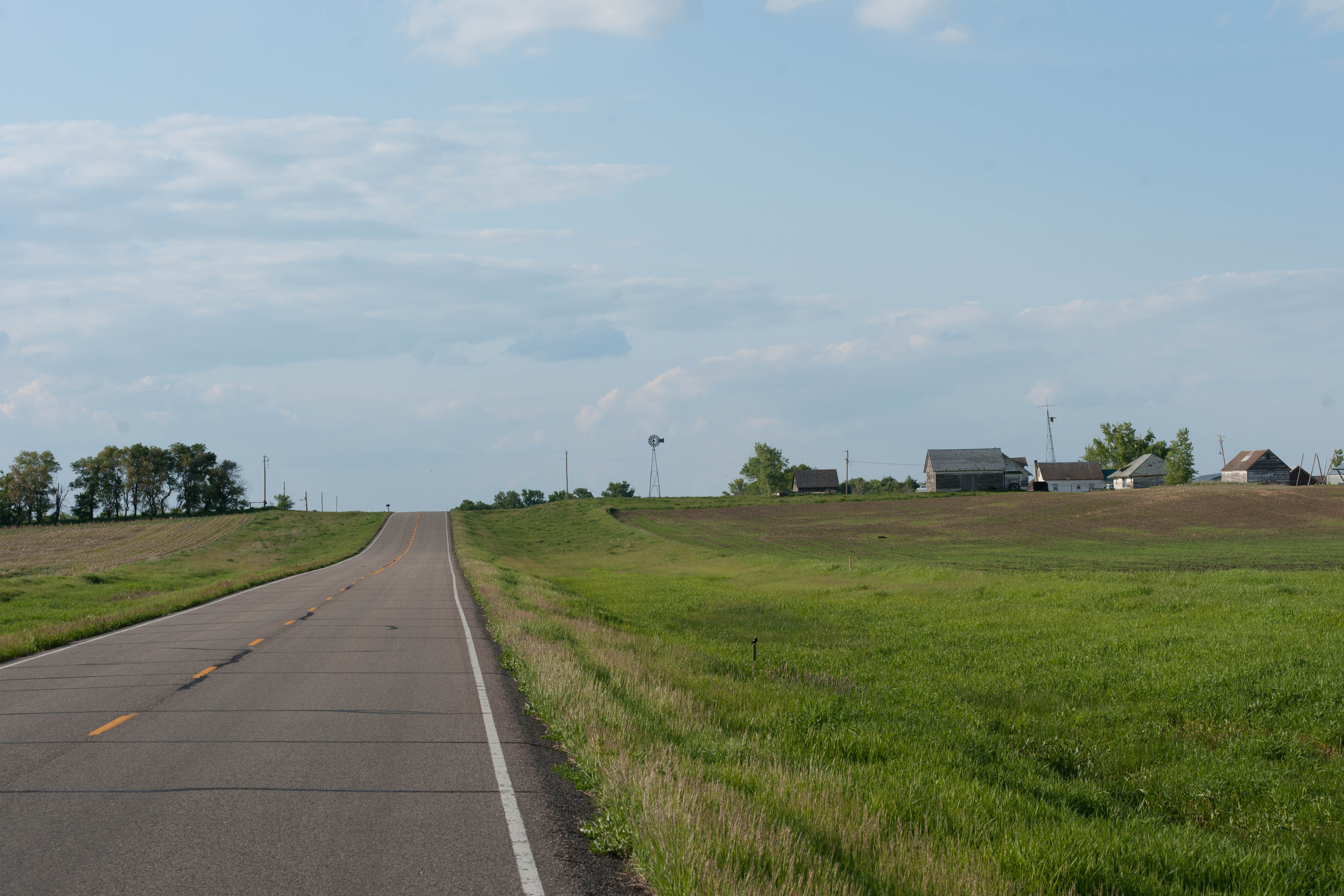
Venturia, North Dakota
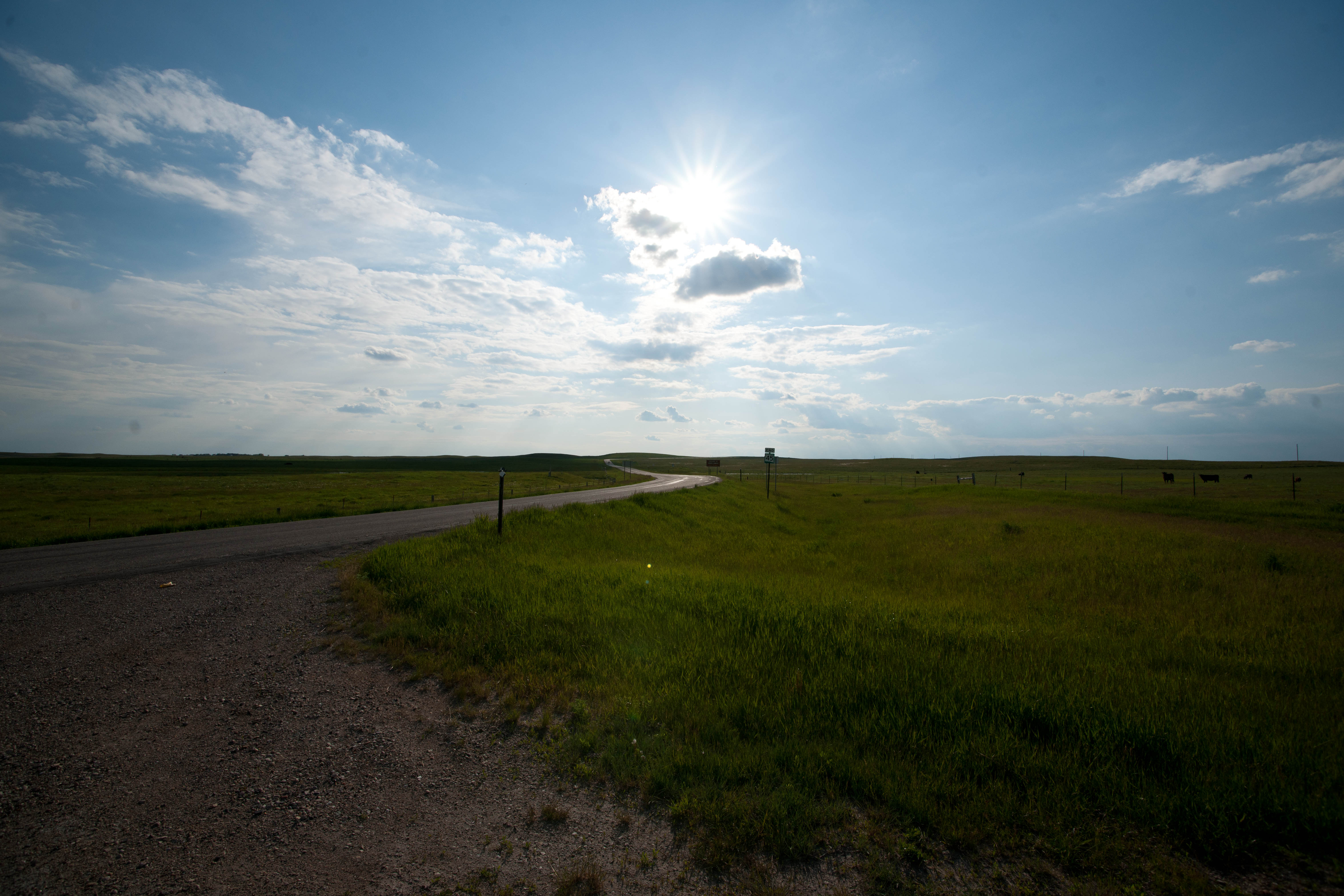
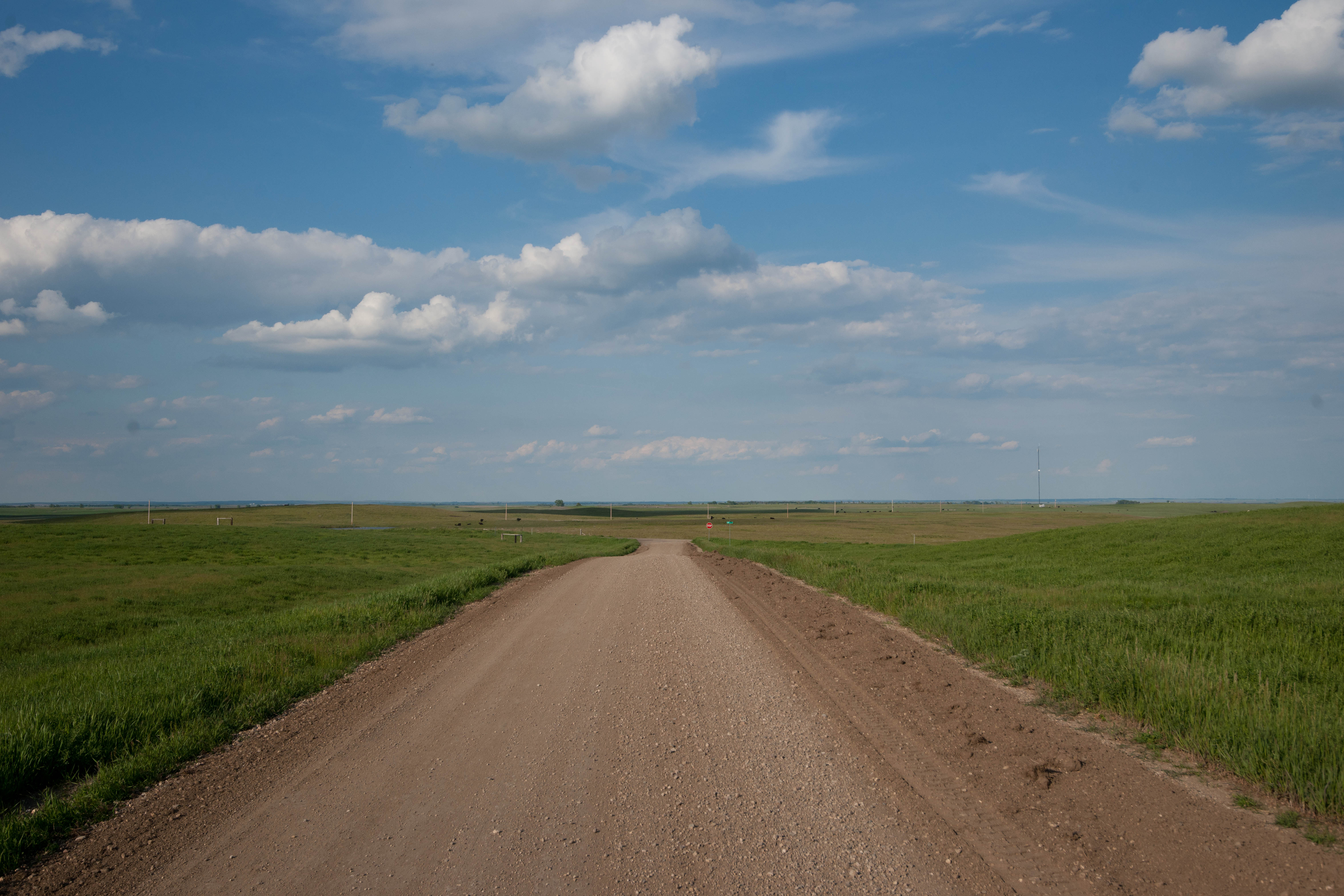
Lowell, North Dakota

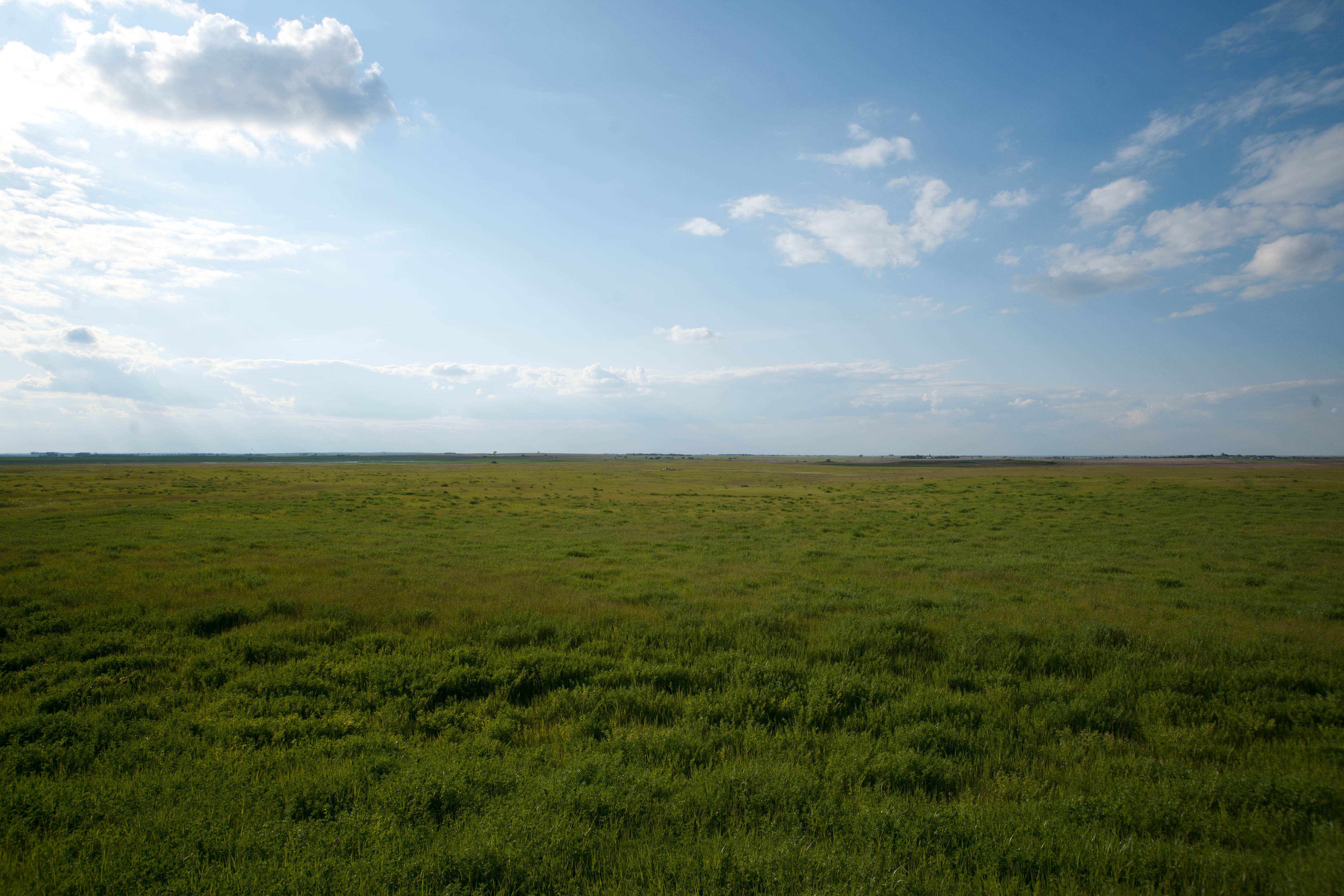
Lowell, North Dakota
Lowell, North Dakota
Lowell, North Dakota
Lowell, North Dakota
Lowell, North Dakota
Lowell, North Dakota
Lowell, North Dakota
Lowell, North Dakota
Topographic Map of McIntosh County, ND, USA
Find elevation by address:

Places in McIntosh County, ND, USA:
Places near McIntosh County, ND, USA:
Ashley
Wishek
6th St S, Wishek, ND, USA
Hosmer
Hosmer Veterinary Clinic
101 E 5th St
Edmunds County
37190 Old Hwy 12
Cortlandt Township
Ellendale
381 W Lake Dr
Westport Township
Dickey County
Us-281 & 118th St
37190 Co Rd 12w
37190 Co Rd 12w
Aberdeen Township
2400 6th Ave Sw
1400 6th Ave Sw
124 N Main St
Recent Searches:
- Elevation of Corso Fratelli Cairoli, 35, Macerata MC, Italy
- Elevation of Tallevast Rd, Sarasota, FL, USA
- Elevation of 4th St E, Sonoma, CA, USA
- Elevation of Black Hollow Rd, Pennsdale, PA, USA
- Elevation of Oakland Ave, Williamsport, PA, USA
- Elevation of Pedrógão Grande, Portugal
- Elevation of Klee Dr, Martinsburg, WV, USA
- Elevation of Via Roma, Pieranica CR, Italy
- Elevation of Tavkvetili Mountain, Georgia
- Elevation of Hartfords Bluff Cir, Mt Pleasant, SC, USA