Elevation of Co Rd 12W, Aberdeen, SD, USA
Location: United States > South Dakota > Brown County > Aberdeen Township >
Longitude: -98.556742
Latitude: 45.4598367
Elevation: 406m / 1332feet
Barometric Pressure: 97KPa
Elevation Map:
Satellite Map:
Related Photos:

top view of serenity cake.......SERENITY BDAY PARTY TOMMRROW AT THE BOWLING ALLEY....ALL INVITED TO COME......????????????????????????...she will be the.... BIG 2????????????
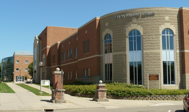
Williams Library - street level
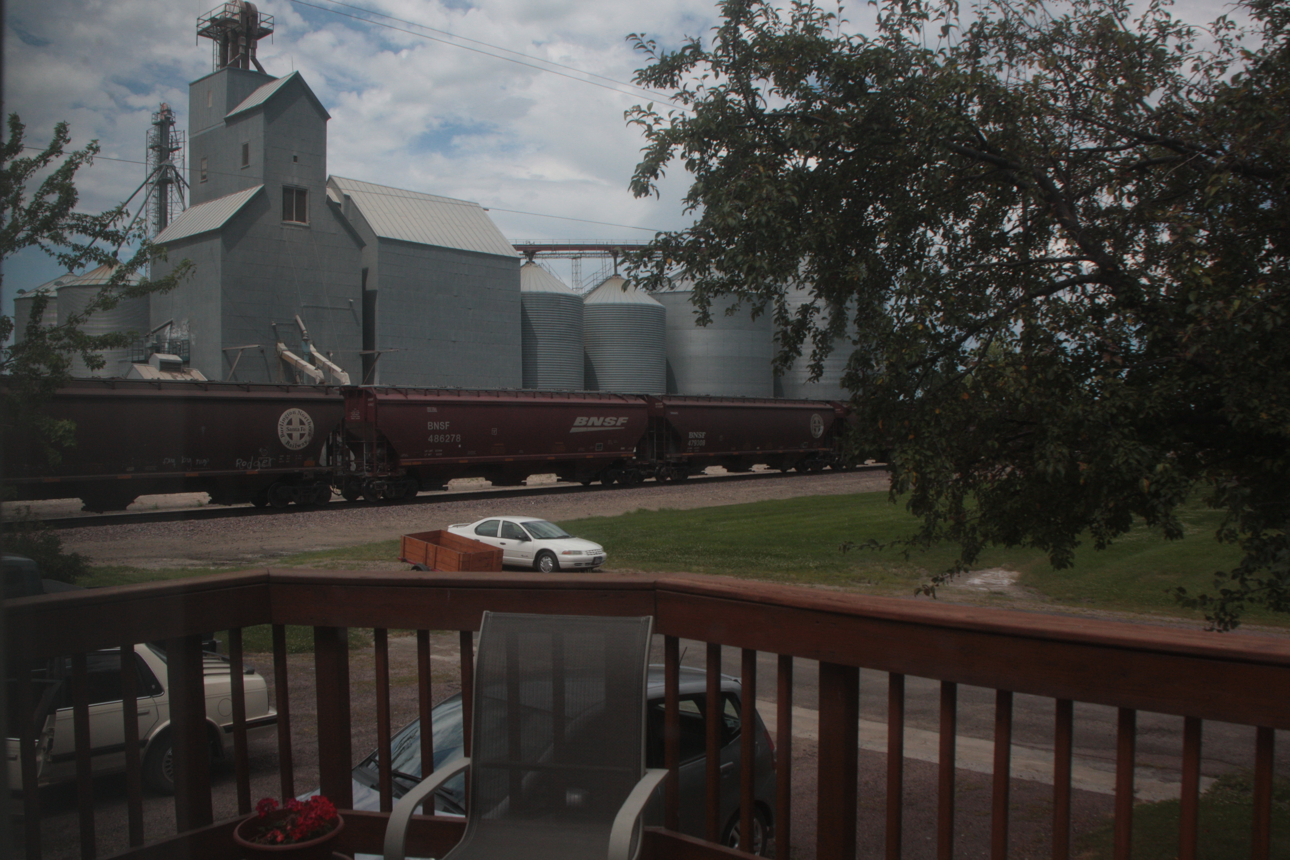
My hometown

That view tho

TB..THURSDAY..serenity..my little girl
Through the Links
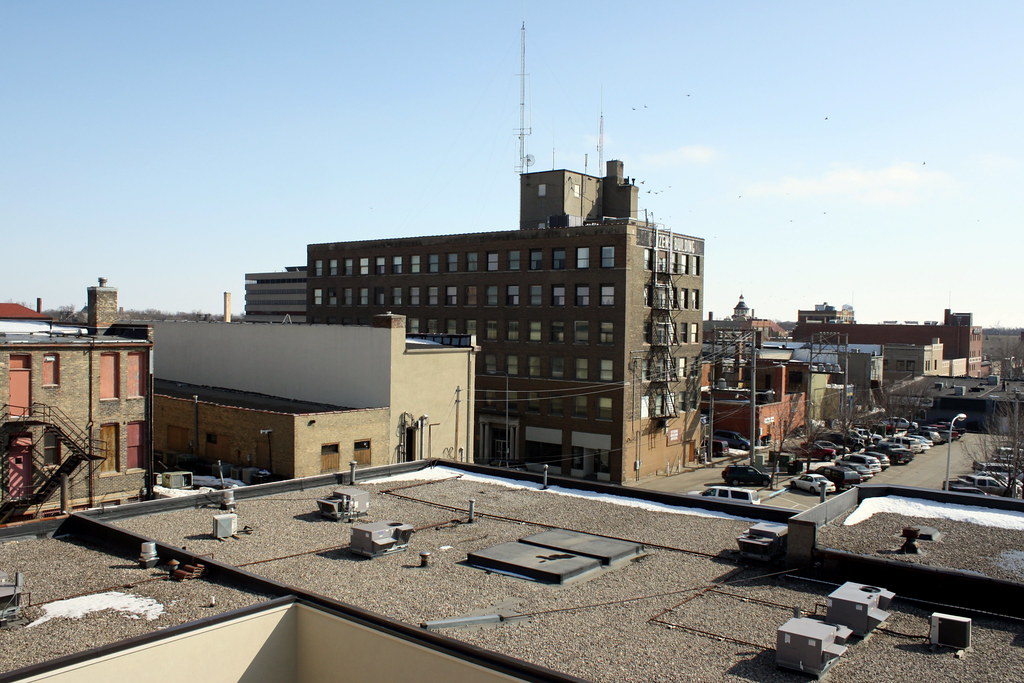
Downtown Aberdeen

Throwing some,football...

Little oreo..enjoying the doggie park

Look cozy
Autumnal path
Topographic Map of Co Rd 12W, Aberdeen, SD, USA
Find elevation by address:

Places near Co Rd 12W, Aberdeen, SD, USA:
37190 Co Rd 12w
Aberdeen Township
2400 6th Ave Sw
1400 6th Ave Sw
217 9th Ave Sw
124 S Main St
5 S Main St, Aberdeen, SD, USA
124 N Main St
1209 S Main St
Aberdeen
1119 N Dakota St
1632 N Harrison St
1711 Central Loop
1717 Central Loop
1618 S Mccoy St
2400 6th Ave Se
2522 13th Ave Se
2351 130th St
381 W Lake Dr
Recent Searches:
- Elevation of Lampiasi St, Sarasota, FL, USA
- Elevation of Elwyn Dr, Roanoke Rapids, NC, USA
- Elevation of Congressional Dr, Stevensville, MD, USA
- Elevation of Bellview Rd, McLean, VA, USA
- Elevation of Stage Island Rd, Chatham, MA, USA
- Elevation of Shibuya Scramble Crossing, 21 Udagawacho, Shibuya City, Tokyo -, Japan
- Elevation of Jadagoniai, Kaunas District Municipality, Lithuania
- Elevation of Pagonija rock, Kranto 7-oji g. 8"N, Kaunas, Lithuania
- Elevation of Co Rd 87, Jamestown, CO, USA
- Elevation of Tenjo, Cundinamarca, Colombia