Elevation of McGaheysville, VA, USA
Location: United States > Virginia > Rockingham County > Stonewall >
Longitude: -78.732630
Latitude: 38.3711022
Elevation: 346m / 1135feet
Barometric Pressure: 97KPa
Elevation Map:
Satellite Map:
Related Photos:
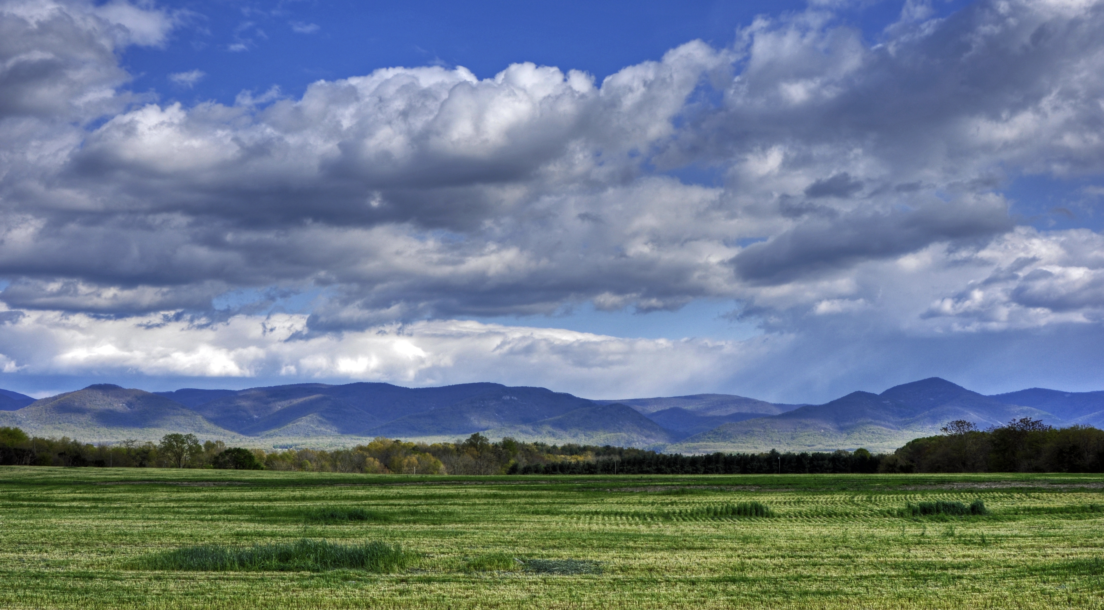
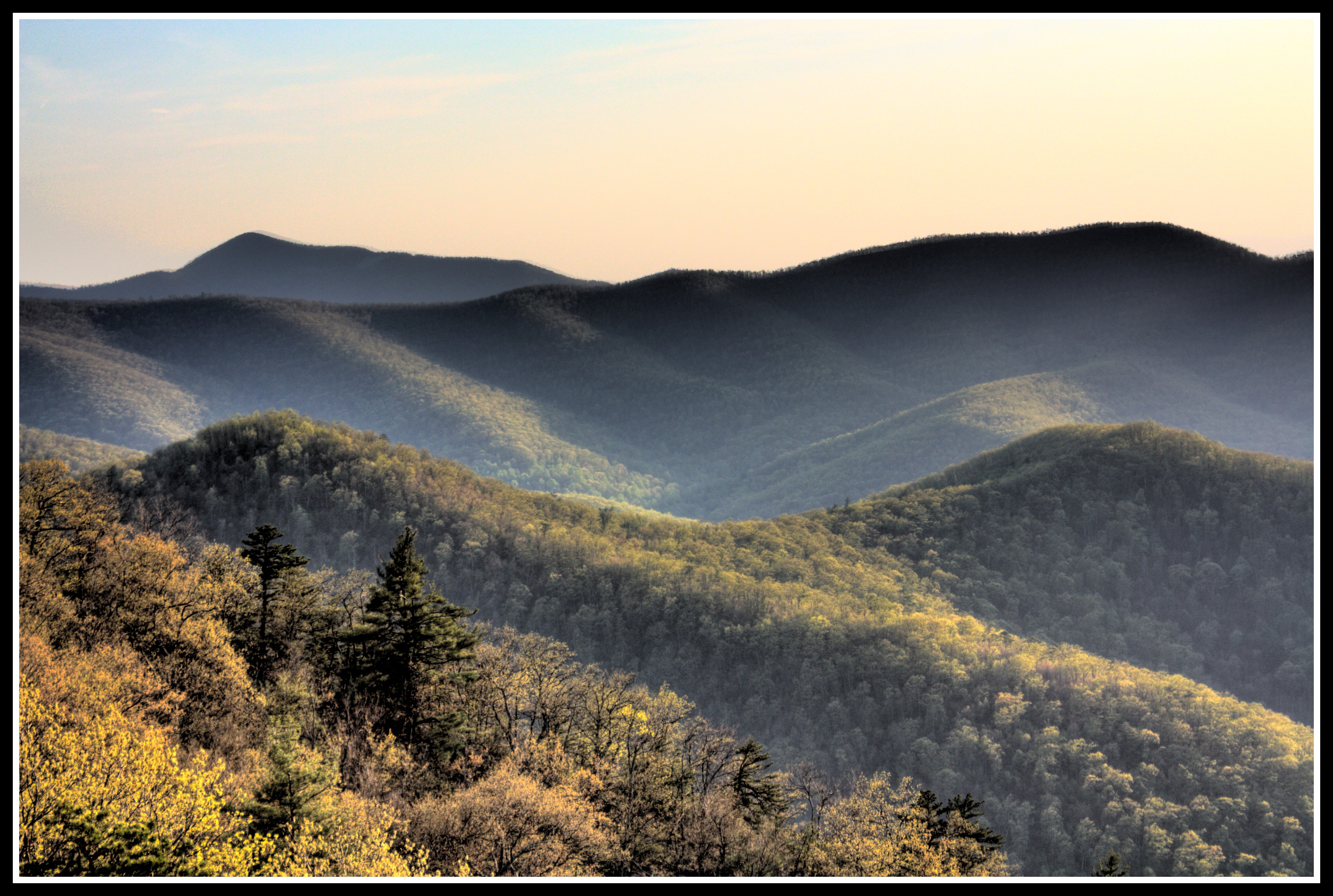
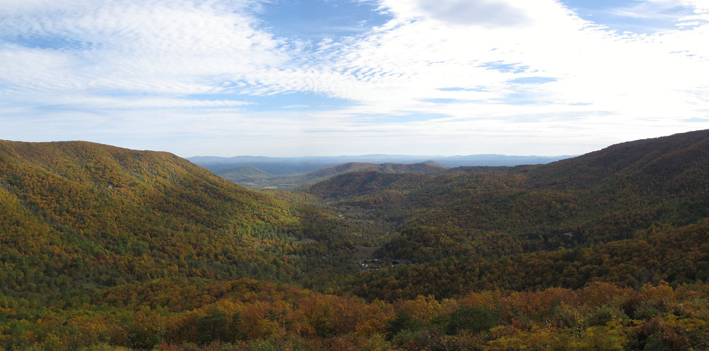
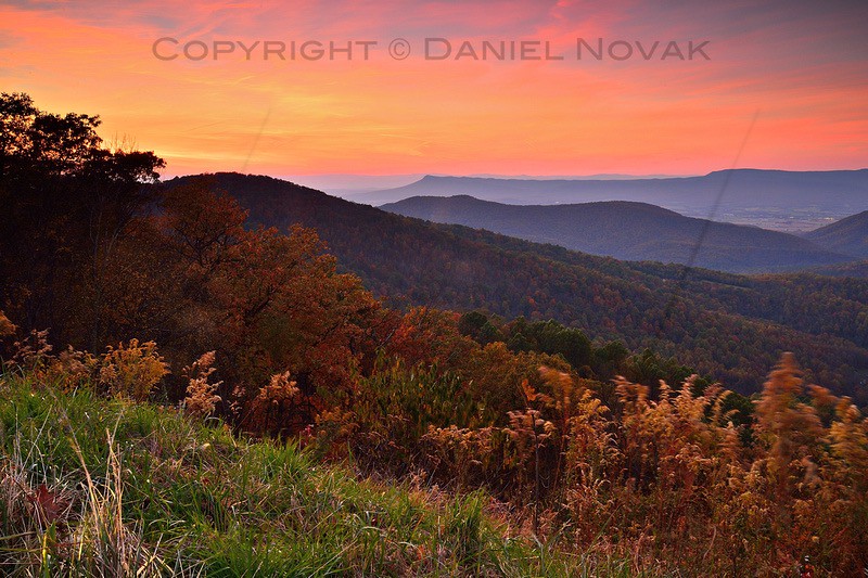
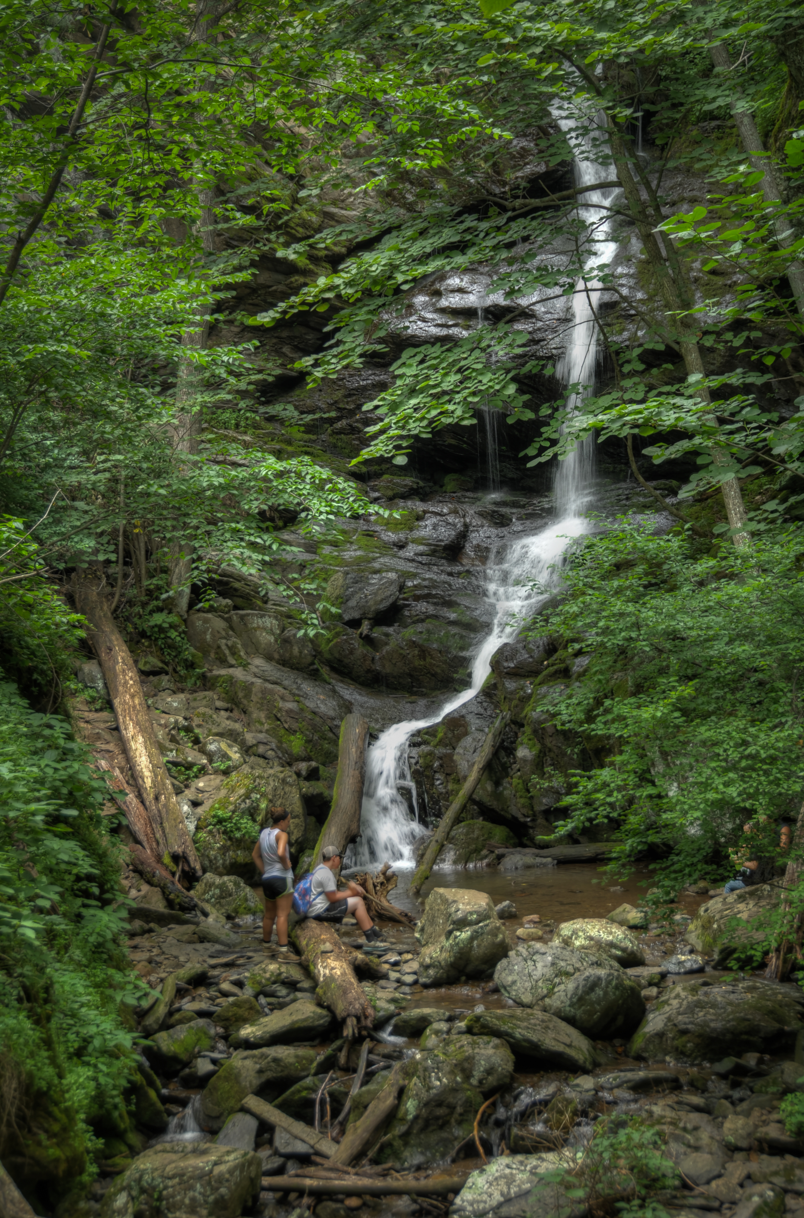
Blue Ridge Mountains

The Valley is Waking Up (DTB_5402)
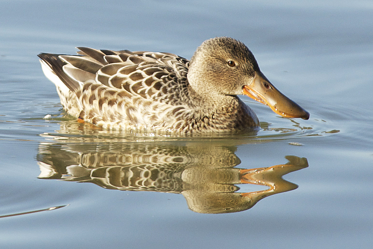
Northern Shoveler
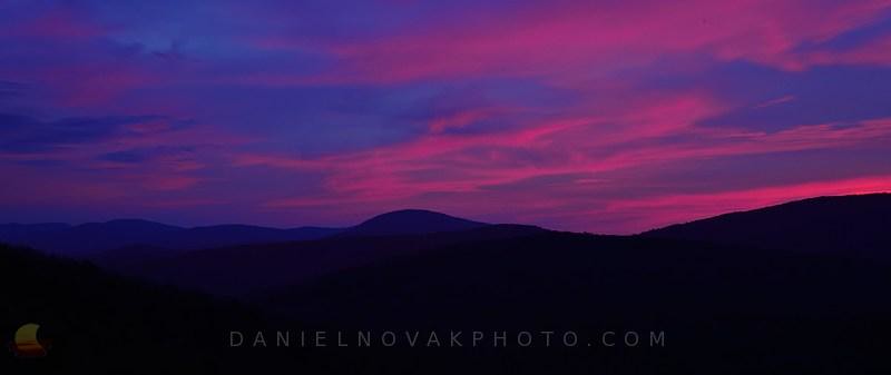
Pre-Sunrise Shenandoah (DTB_5400)
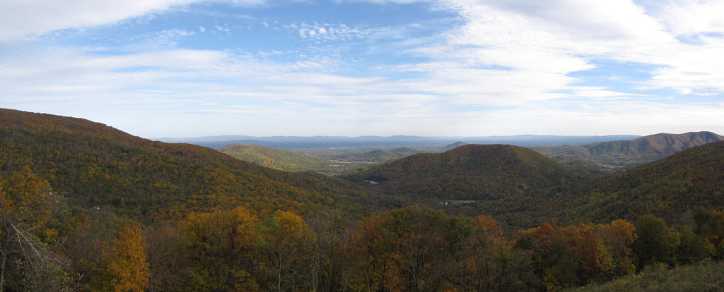
Shenandoah National Park - Loft Mountain Overlook

Grace Memorial Church
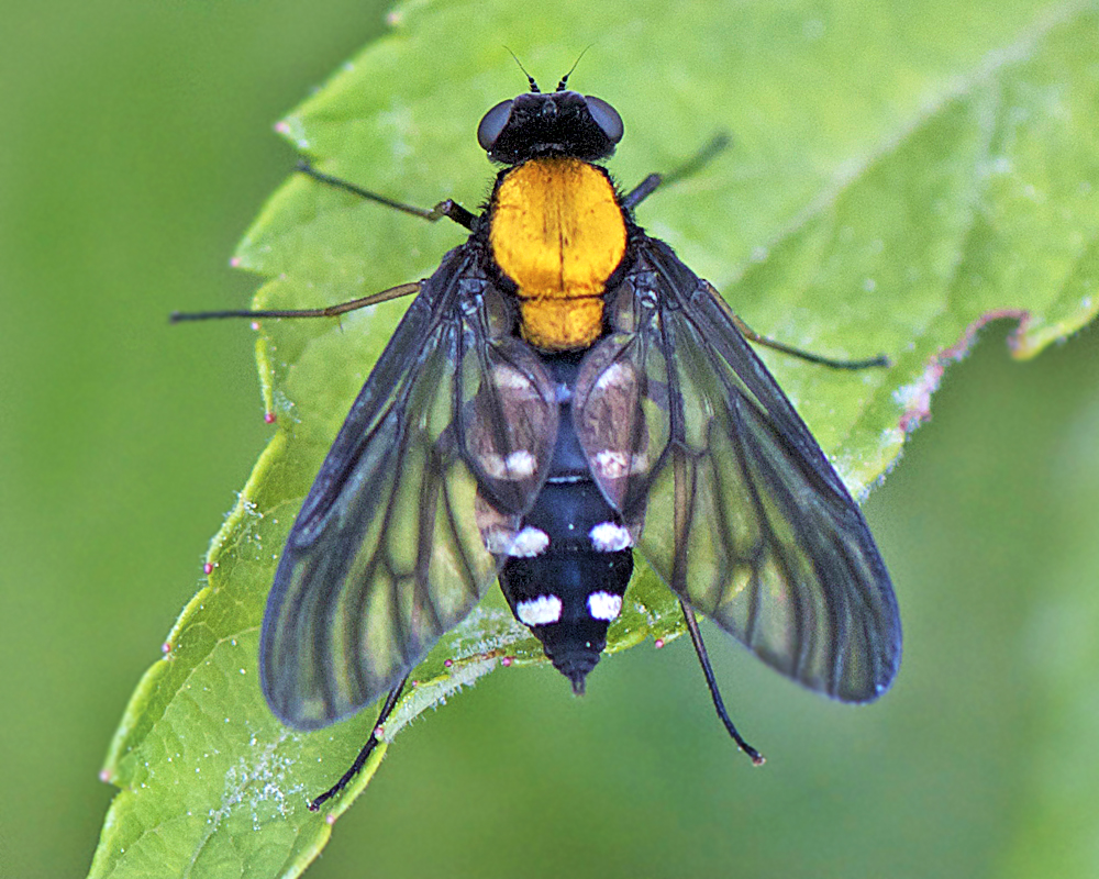
Golden-backed Snipe Fly
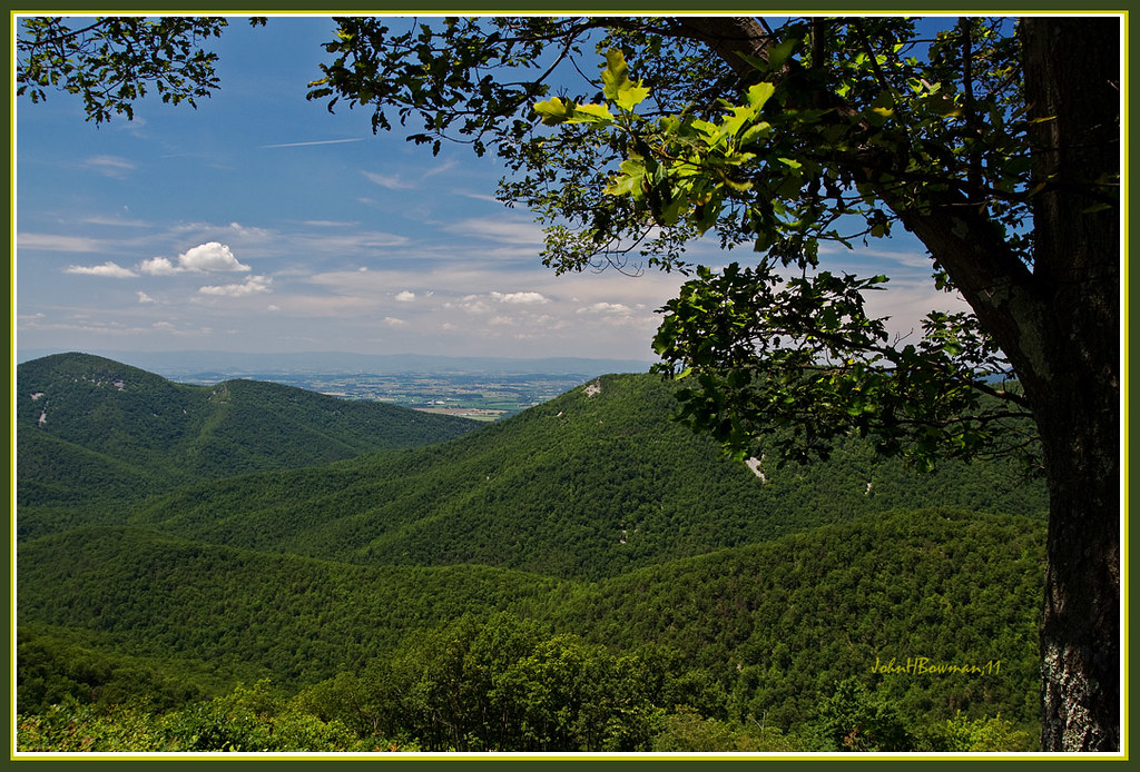
View From Rockytop Overlook

Skyline Drive Curves, Shenandoah National Park (DTA_8578)
Rockytop Overlook - Skyline Drive

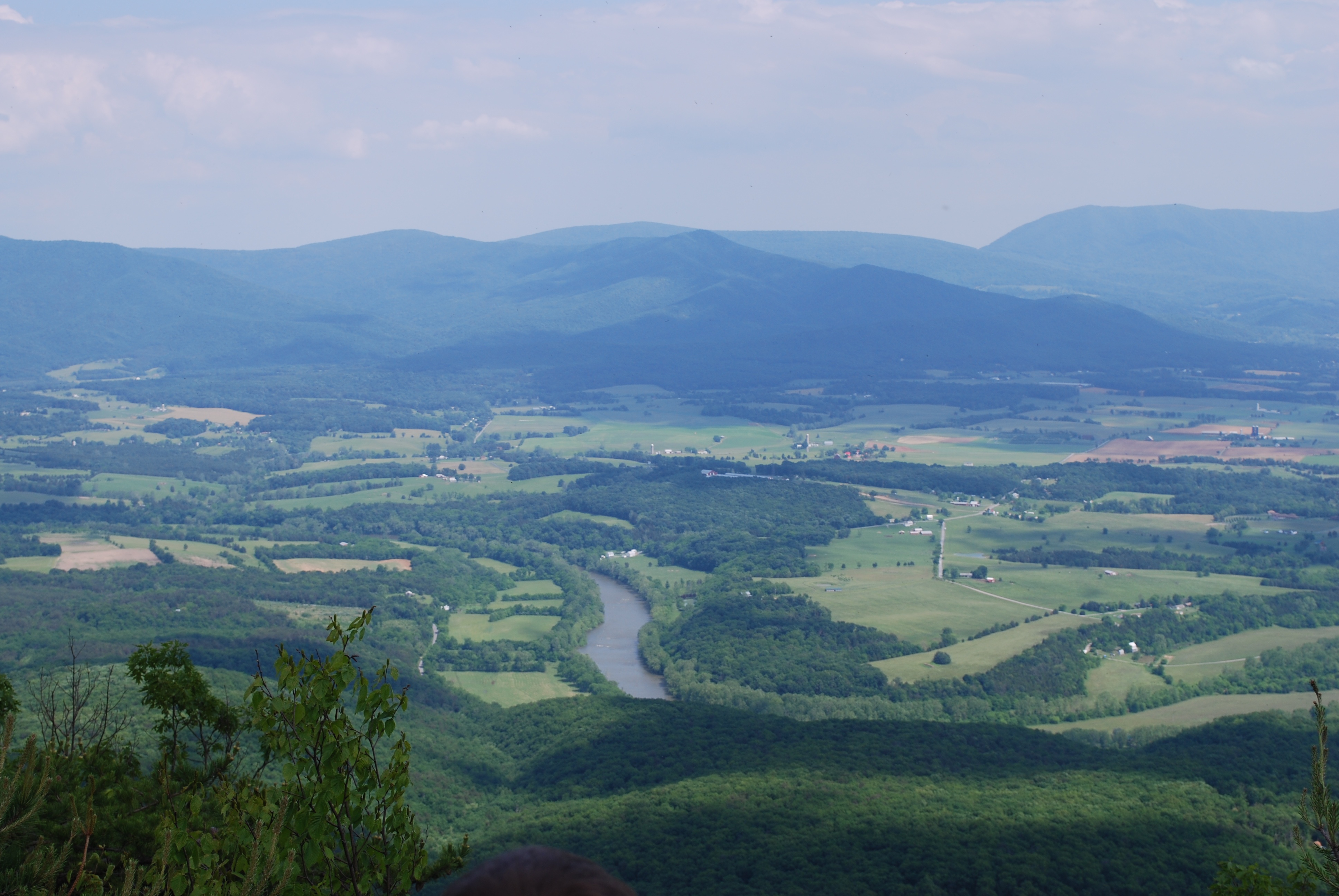
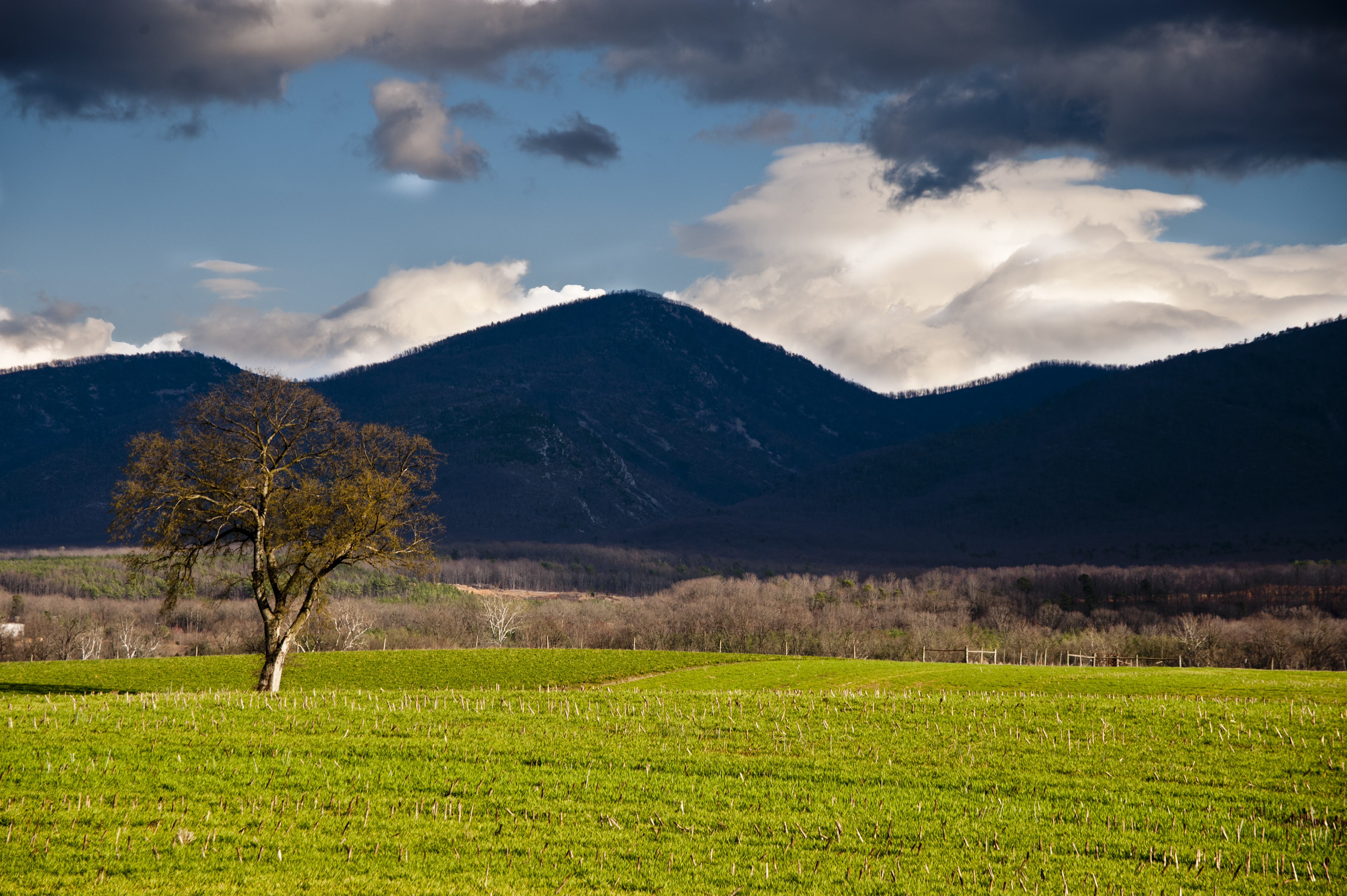
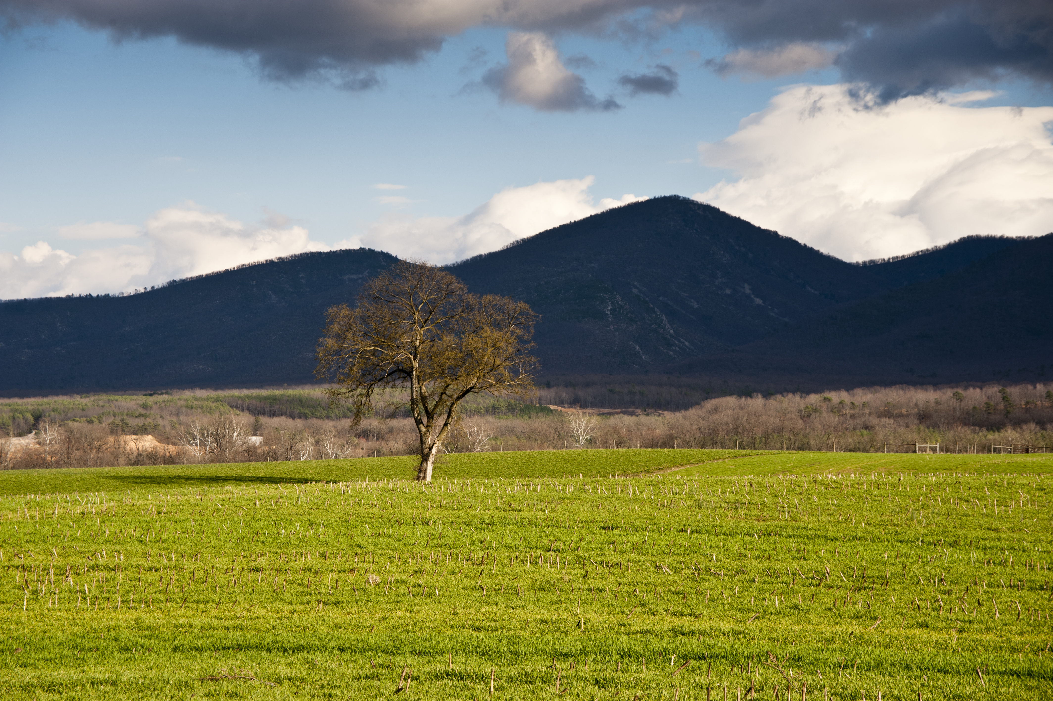
Rocky Mount from Skyline Drive

Flowering Dogwood
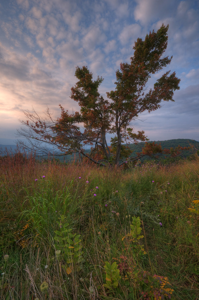
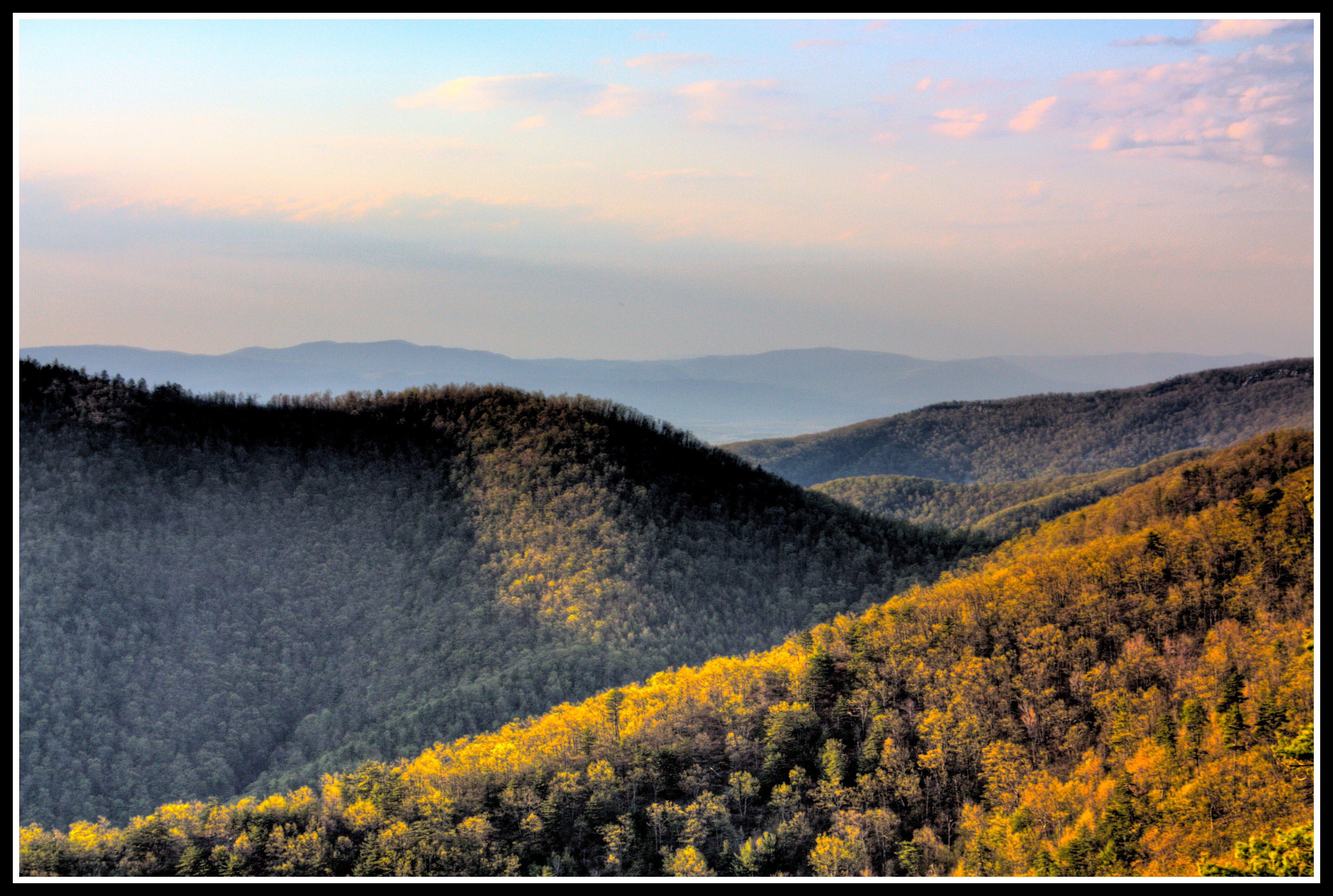
Clash of the Seasons
Shenandoah National Park - Bacon Hollow Overlook

View from Bridgeforth Stadium at James Madison University

Another beautiful fall day in #Harrisonburg! A great day to enjoy the scenery at a city park, like this view from Ralph Sampson Park! ????????
View from Massanutten trail in Virginia.

on the 20
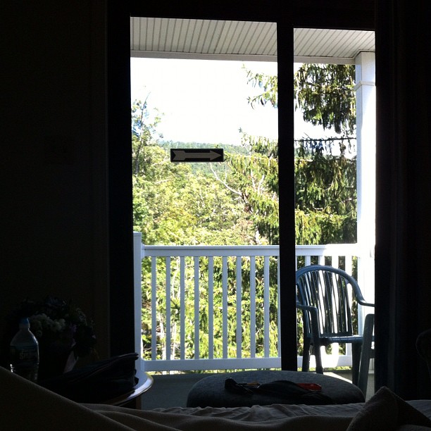
The view from my bed/couch. #VAroadtrip #balcony

Longlegged Fly
View From Rockytop Overlook
Shenandoah Sunset (DTA_8604)
03-19146
03-19142

03--15
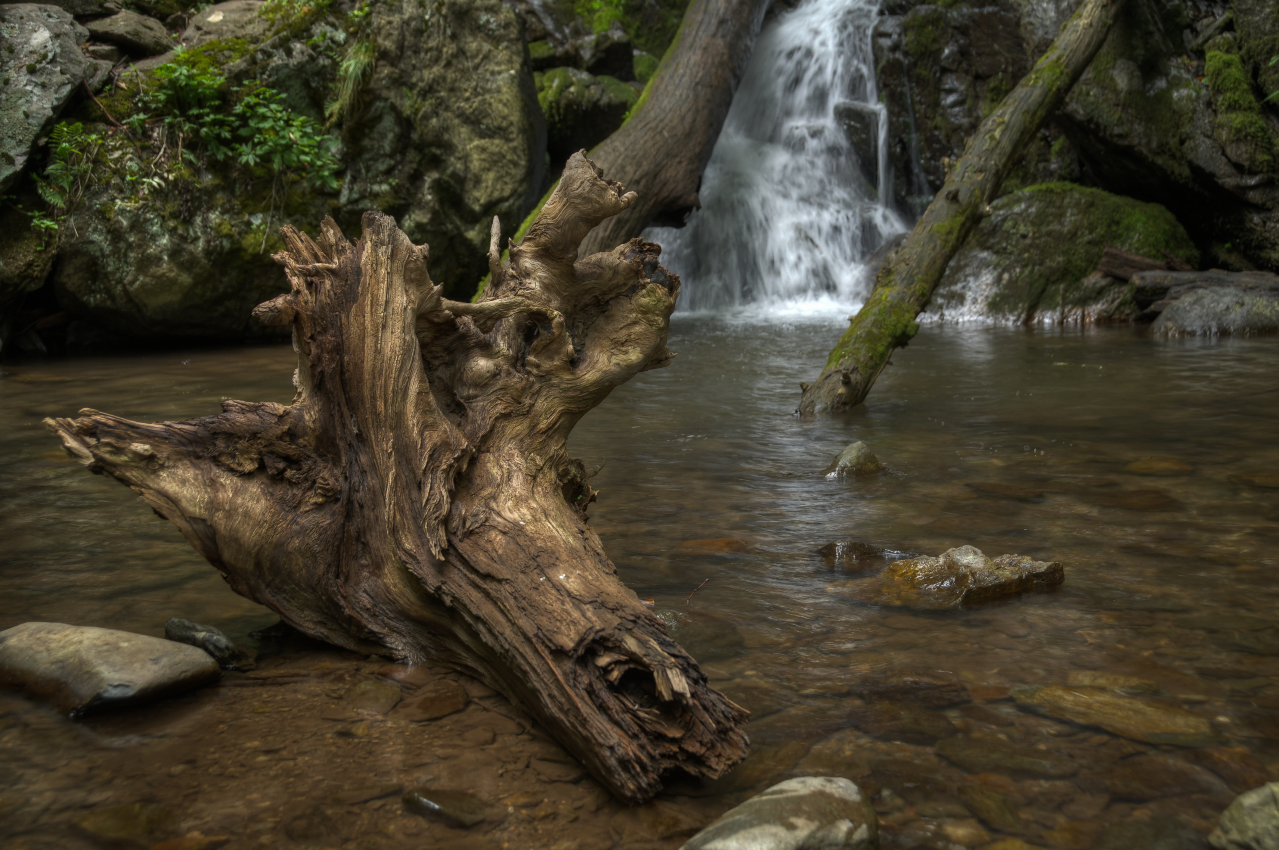
Upper Doyles River Falls, Shenandoah National Park HDR
Brown's Gap Fire Road, Shenandoah National Park HDR
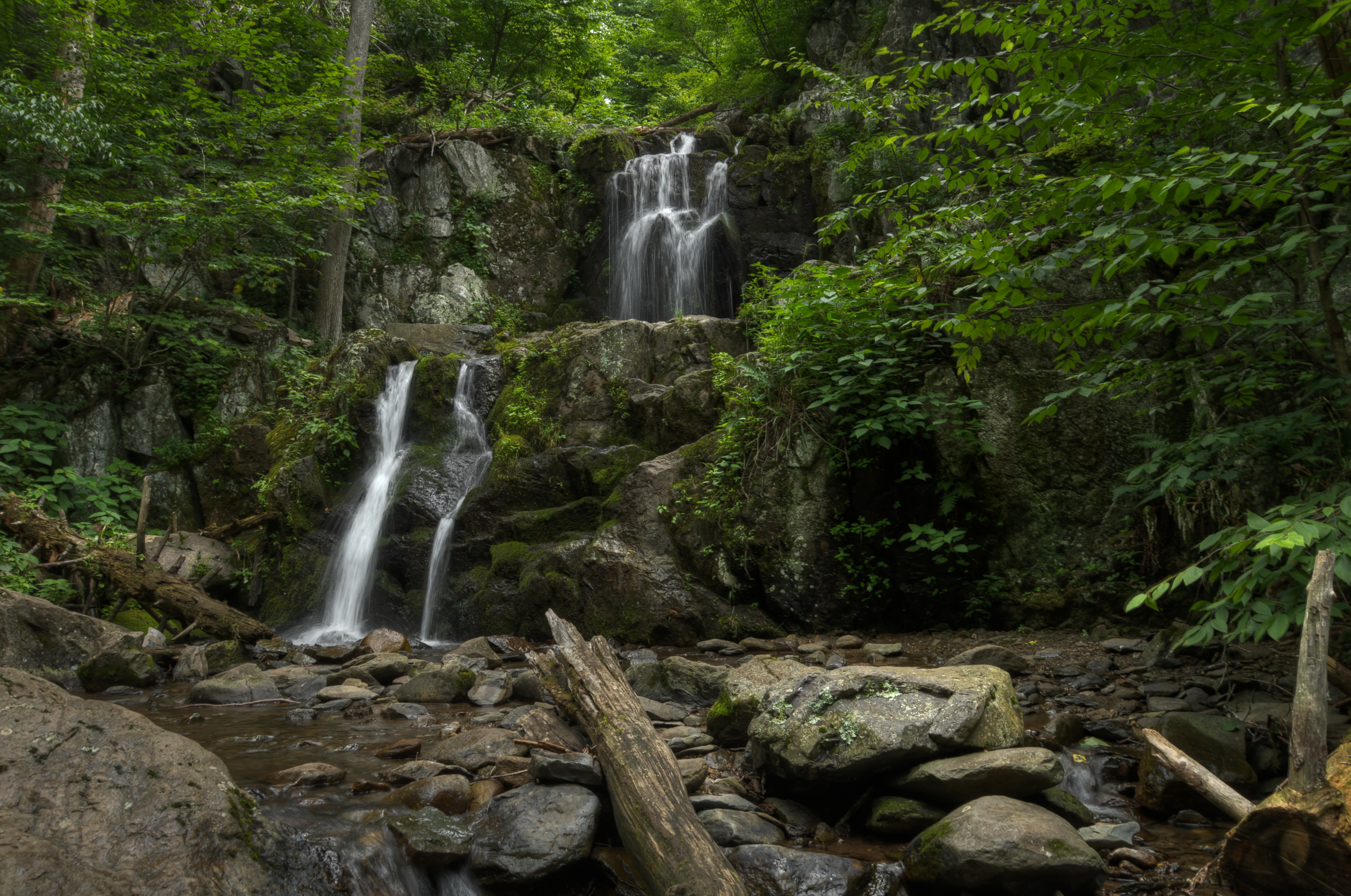
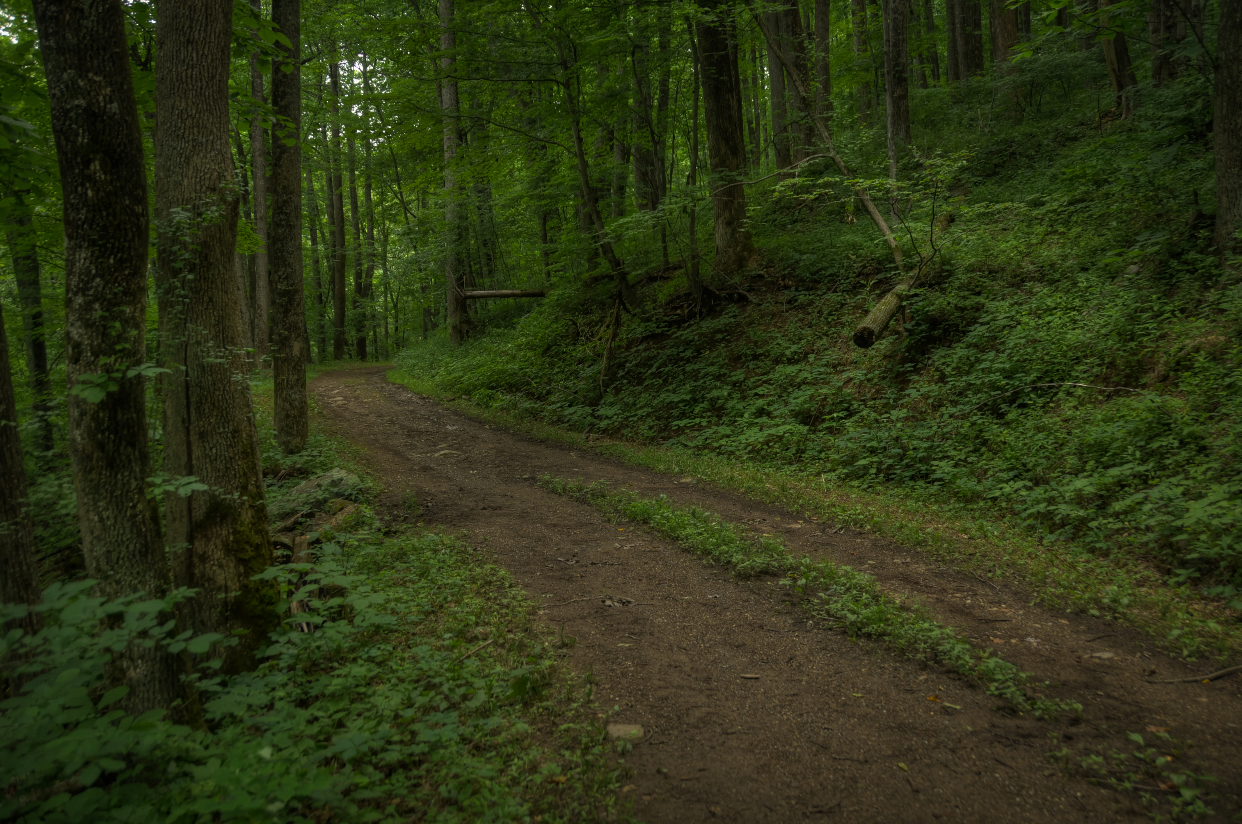
Lower Doyles River Falls, Shenandoah National Park HDR
Lower Doyles River Falls, Shenandoah National Park HDR

Skyline Drive Mile 078.1 - Rockytop Overlook - 2014-09-30 (23)

Skyline Drive Mile 076.2 - Two Mile Run Overlook - 2014-09-30 (2)
Pocket Darkroom

Skyline Drive Mile 078.1 - Rockytop Overlook - 2014-09-30 (19)

Skyline Drive Mile 069.3 - Bacon Hollow Overlook - 2014-09-30 (30)

Skyline Drive West Virginia

October Quarter Moon (DTB_5529)
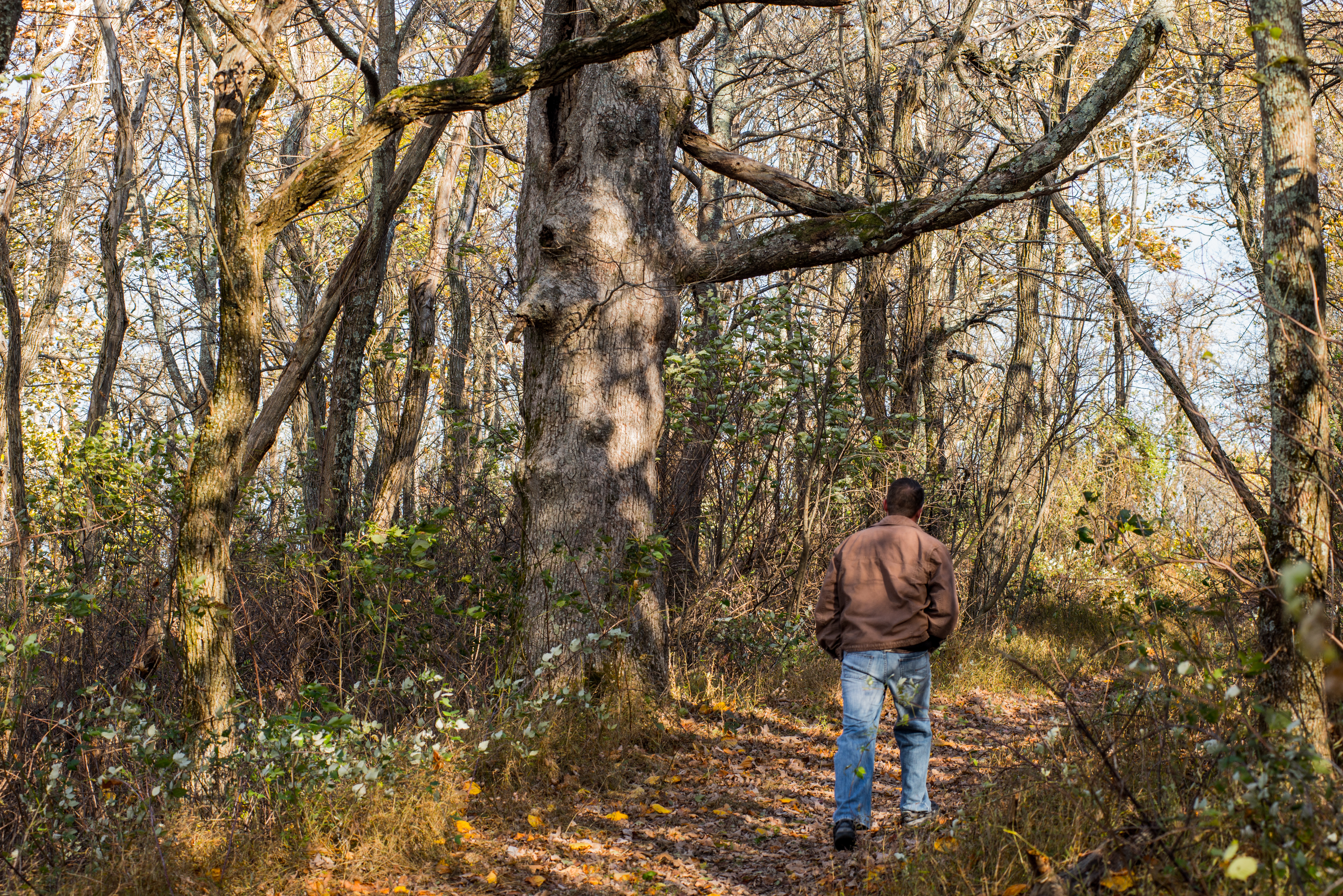
Walking a piece of the Appalachian Trail
Topographic Map of McGaheysville, VA, USA
Find elevation by address:

Places in McGaheysville, VA, USA:
Places near McGaheysville, VA, USA:
2708 Lanier Ln
685 Flower Dr
511 Flower Dr
Resort Drive
Massanutten
1822 Resort Dr
Massanutten Resort
7161 Rocky Bar Rd
3970 Palmer Rd
240 Congers Ln
141 Hogan Ct
12380 Red Cedar Ln
5006 Nicklaus Ln
Snead Circle
Trevino Drive
5384 Trevino Dr
Bloomer Springs Rd, McGaheysville, VA, USA
109 Chipmunk Ct
4947 Bloomer Springs Rd
2339 Stony Creek Dr
Recent Searches:
- Elevation of Corso Fratelli Cairoli, 35, Macerata MC, Italy
- Elevation of Tallevast Rd, Sarasota, FL, USA
- Elevation of 4th St E, Sonoma, CA, USA
- Elevation of Black Hollow Rd, Pennsdale, PA, USA
- Elevation of Oakland Ave, Williamsport, PA, USA
- Elevation of Pedrógão Grande, Portugal
- Elevation of Klee Dr, Martinsburg, WV, USA
- Elevation of Via Roma, Pieranica CR, Italy
- Elevation of Tavkvetili Mountain, Georgia
- Elevation of Hartfords Bluff Cir, Mt Pleasant, SC, USA