Elevation of McDonald Rd, Gabriola, BC V0R 1X7, Canada
Location: Canada > British Columbia > Nanaimo > Nanaimo B > Gabriola >
Longitude: -123.71640
Latitude: 49.1478787
Elevation: 34m / 112feet
Barometric Pressure: 101KPa
Elevation Map:
Satellite Map:
Related Photos:
Dinner view!
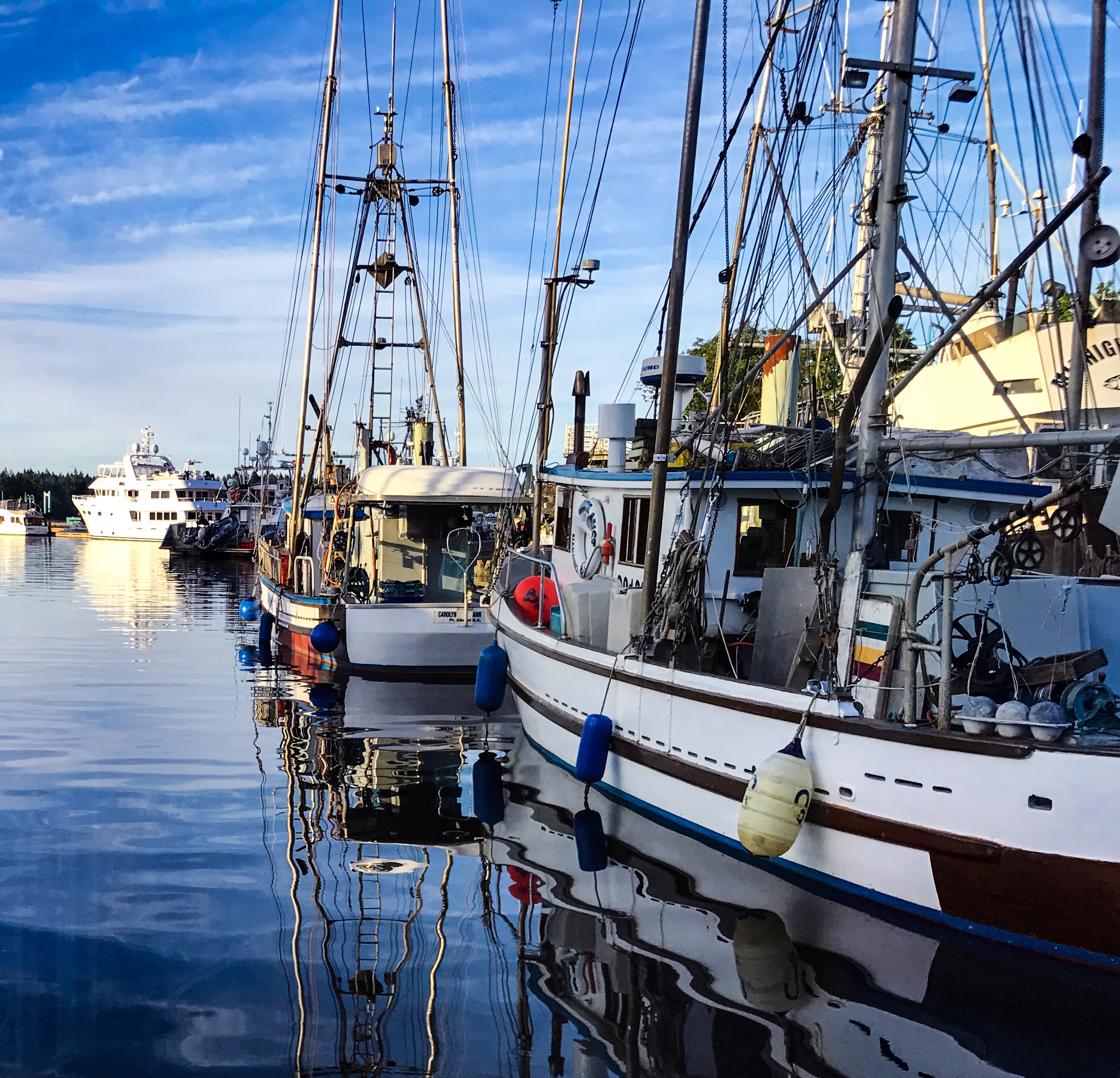
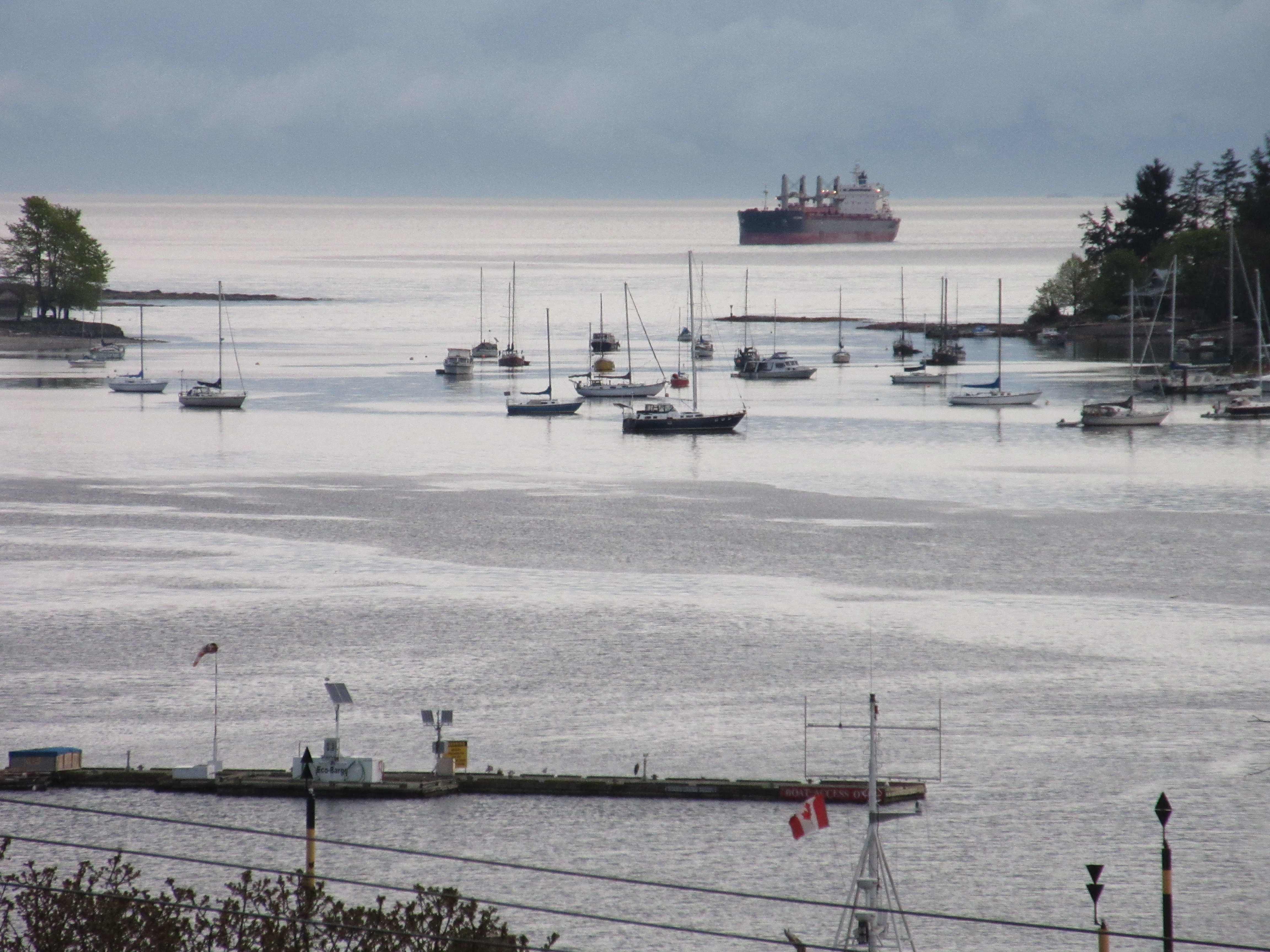
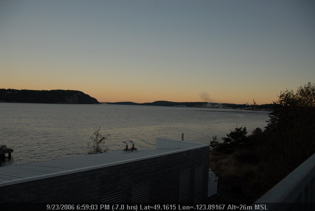
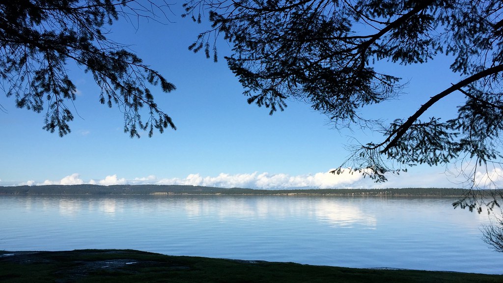
Nanaimo harbor
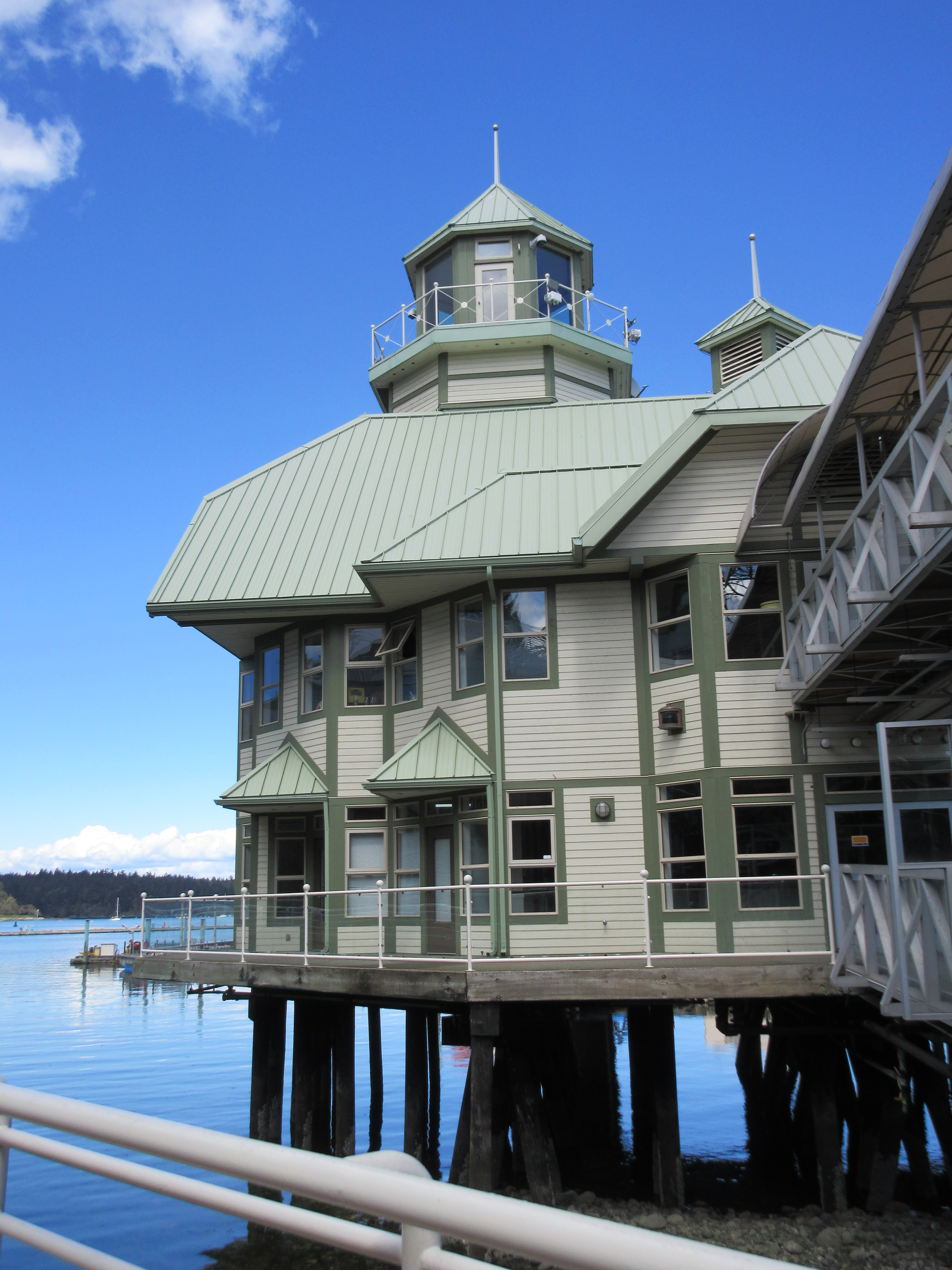
Another view of the pub
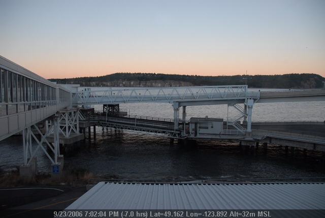
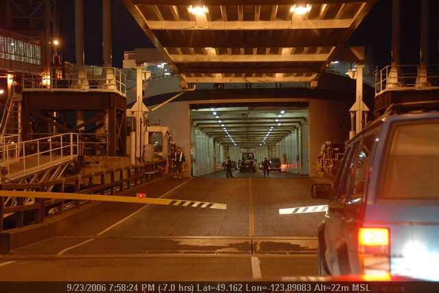
BC Ferry Dock
Island Trip (226).JPG

West Coast Lighthouse
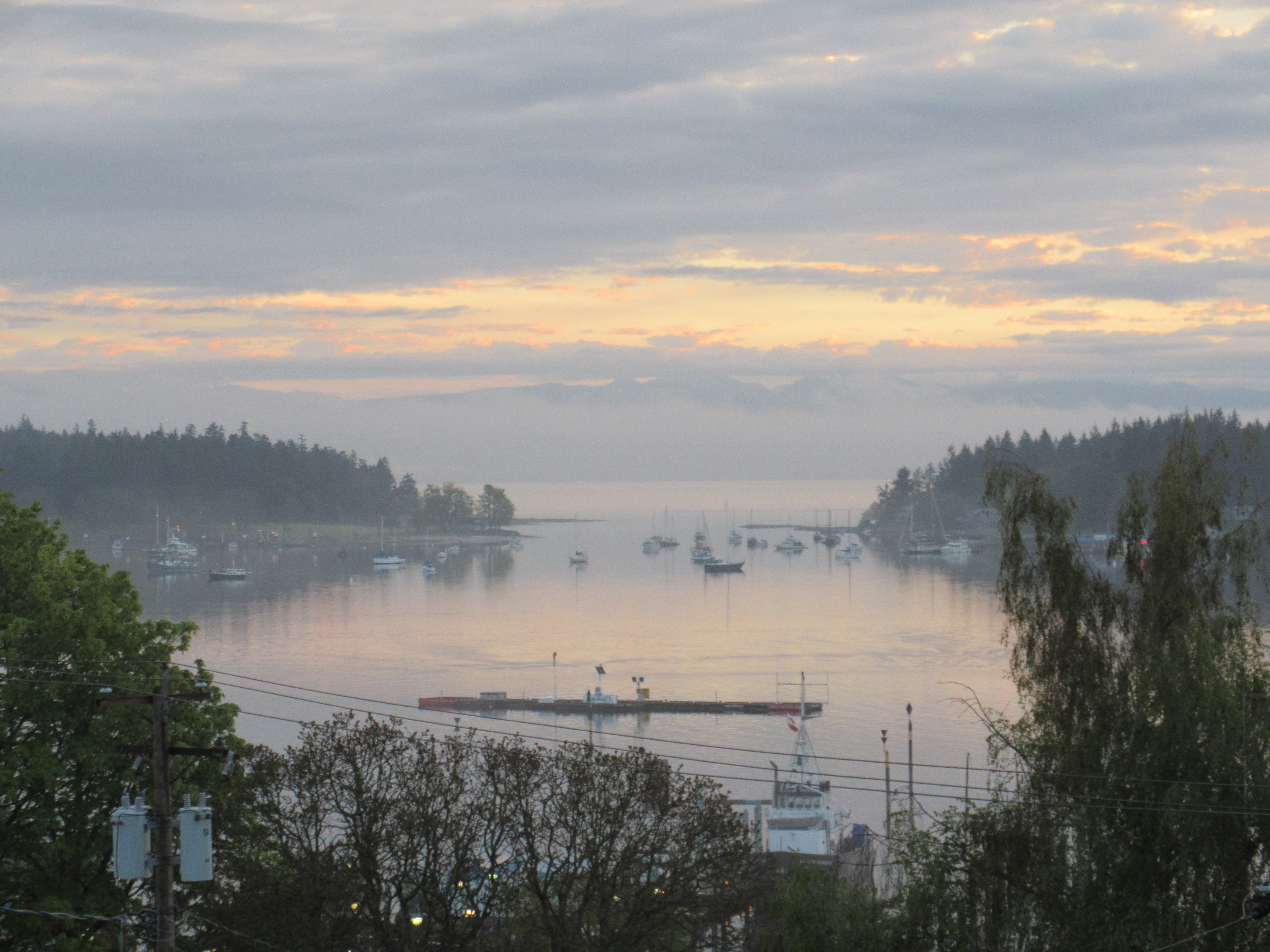
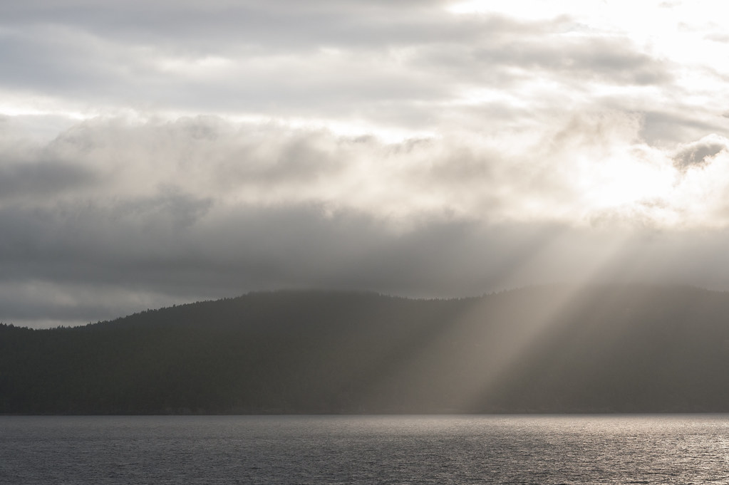
A new day dawns

Entrance Island Lighthouse
Island Trip (250).JPG
Island Trip (233).JPG
Island Trip (203).JPG
Island Trip (223).JPG
Nanaimo Harbour - Vancouver Island -Muted Sun
Diana Krall Plaza View: HDR (from single RAW) - Canon Digital Rebel EOS 300D with Canon EF 50mm 1:1.8 Mark 1
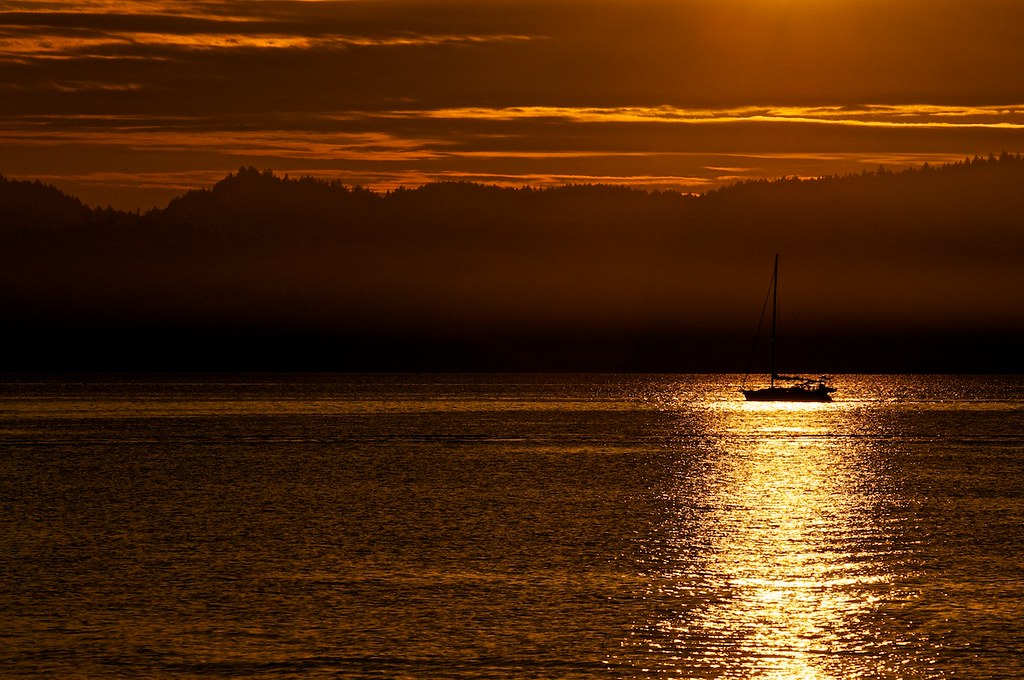
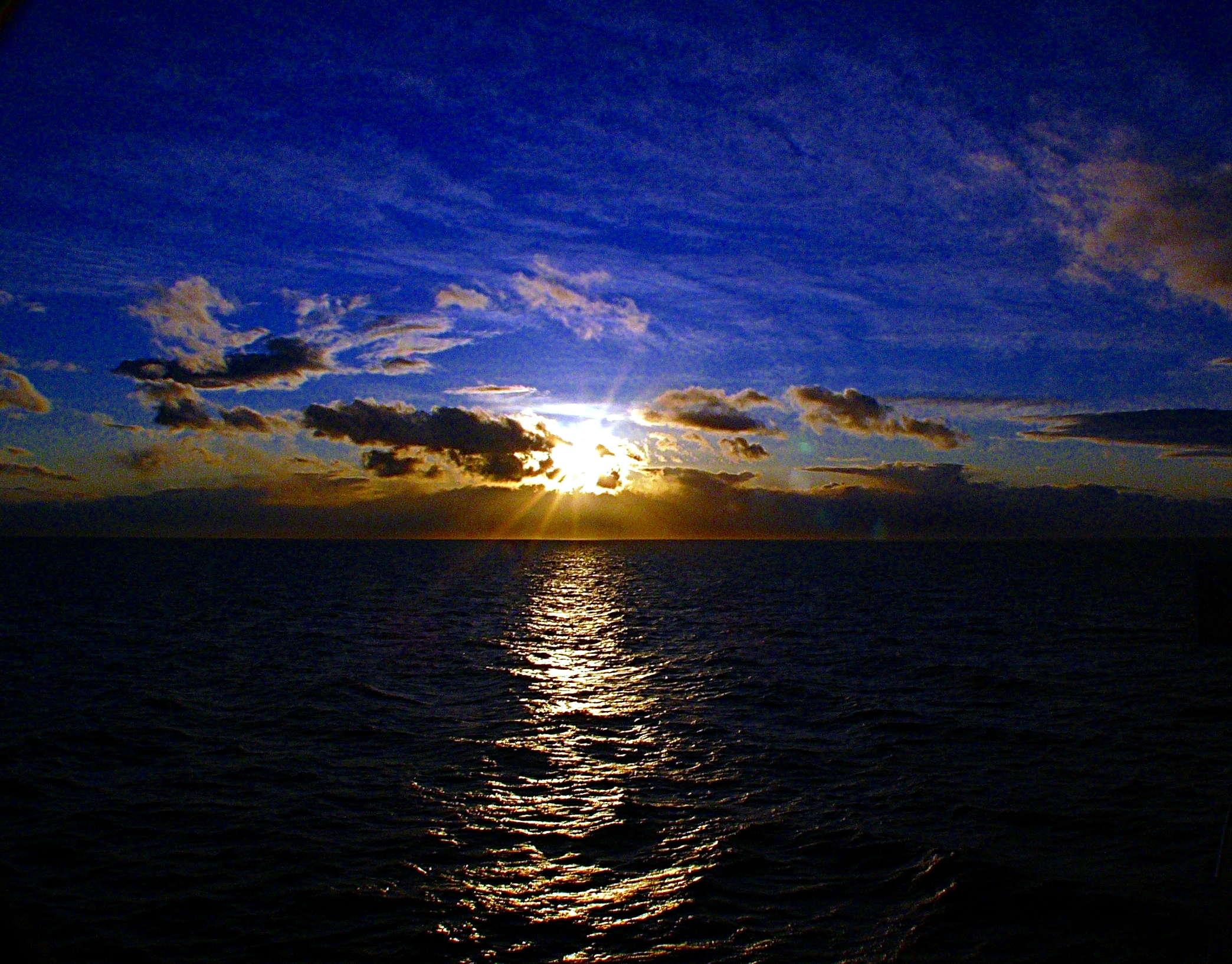
Sailing the sunset
Island Trip (204).JPG
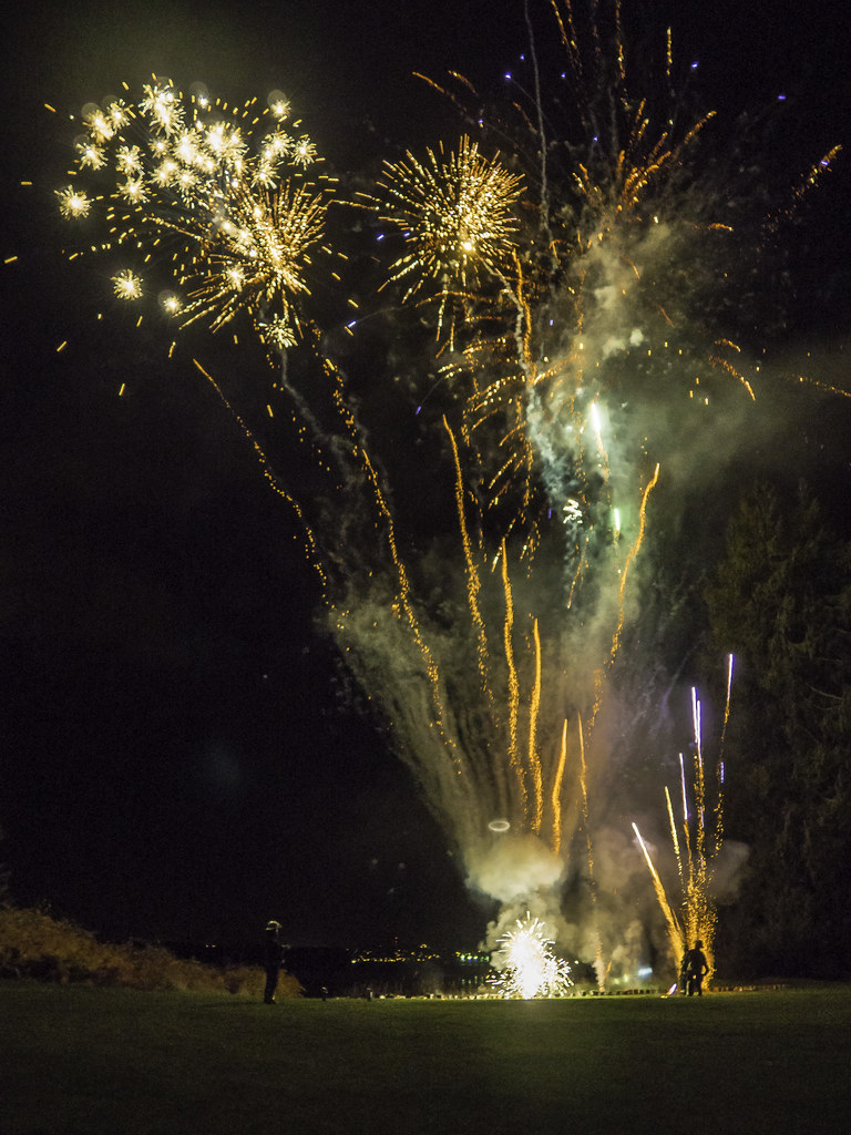
Fire Works
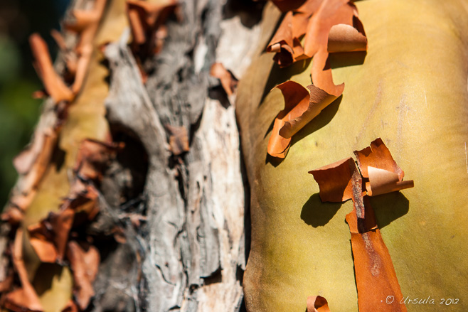
Natures Abstracts: Tree Bark 1762
Island Trip (220).JPG
Island Trip (236).JPG
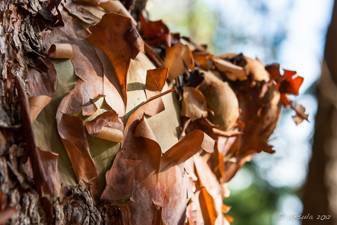
Natures Abstracts: Tree Bark 1756
I miss my ferry regularly by one minute.
Roberts Memorial Park

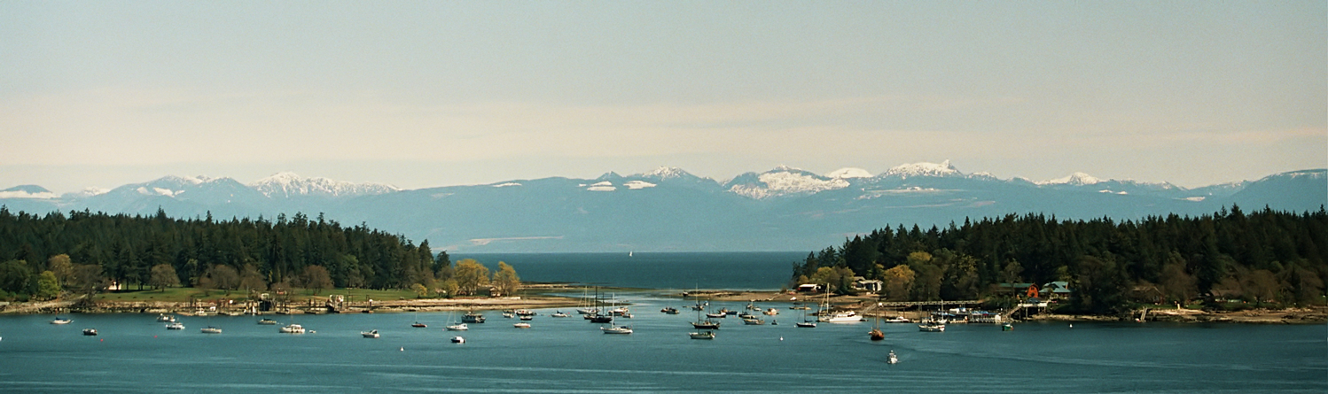
Nanaimo, B.C
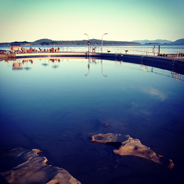
The reflecting pool
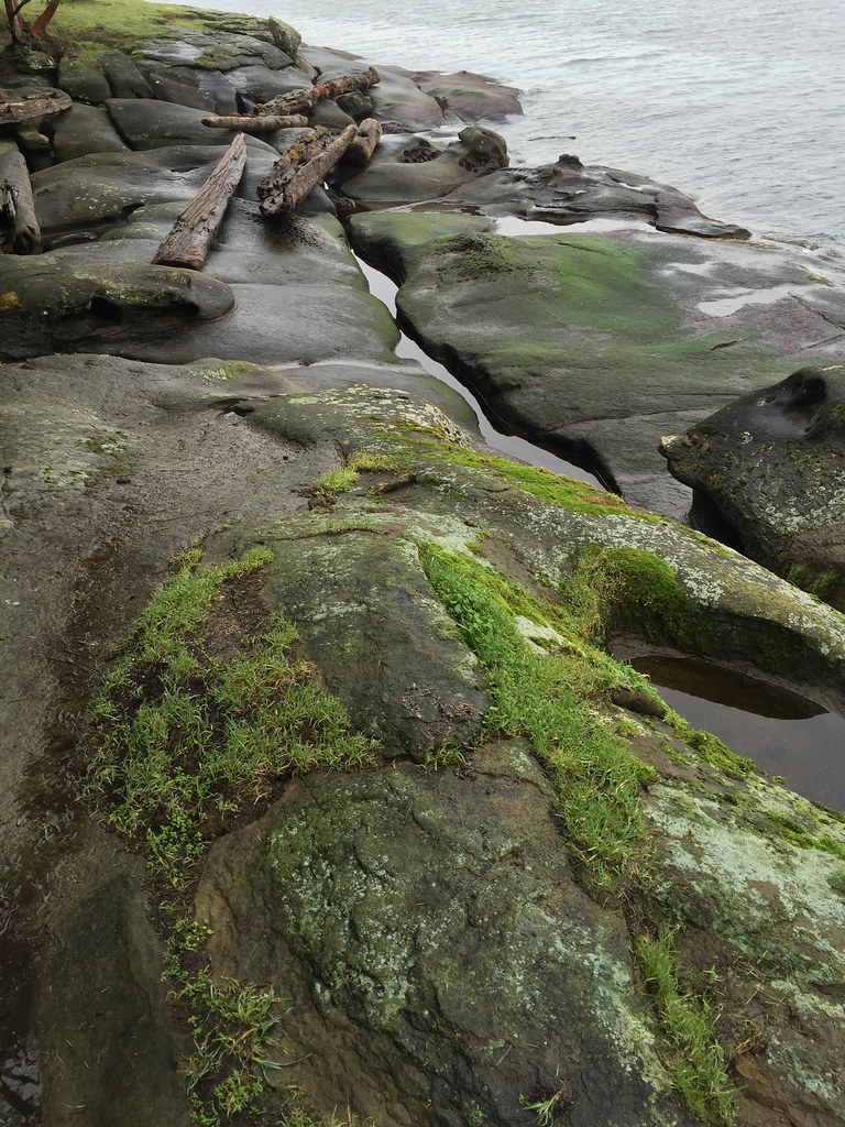
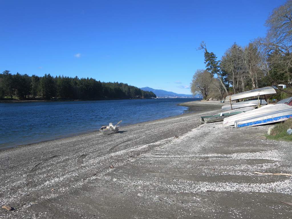
Sandstone beach at high tide near Ladysmith, British Columbia, Canada
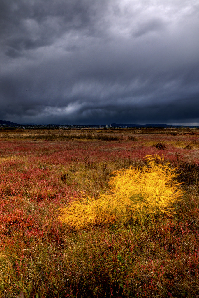
Fall Day - Nanaimo Estuary

Protection Island 2008
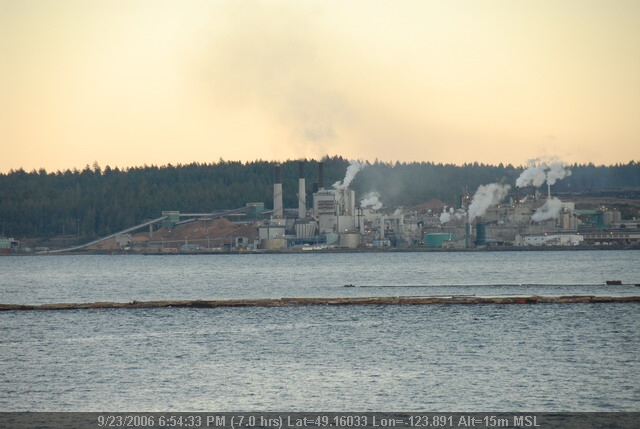
Nanaimo Harbour
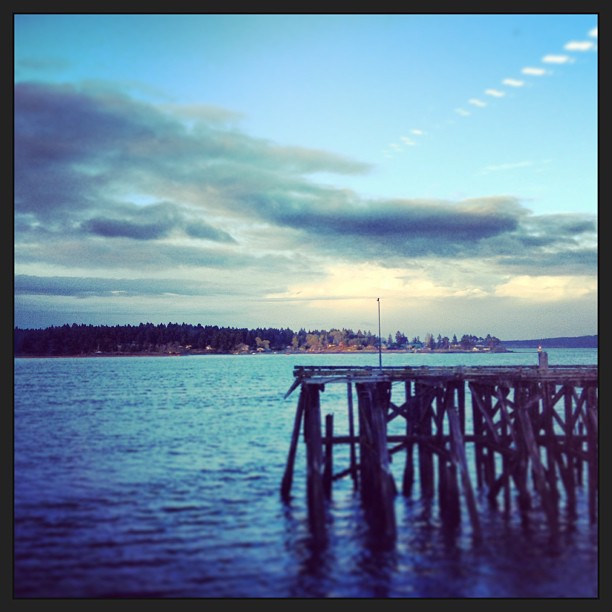
Ferry Set (2)
False Narrows
Ferry Nanaimo to Vancouver
Inside Passage, 6:30 a.m.

Cable Bay Trail
Gabriola Island 2014

Extra Long Exposure
Different viewpoint.
Dec 25, 2011, Christmas Day No. 2 - Panasonic Lumix DMC-FZ10

Entrance Island
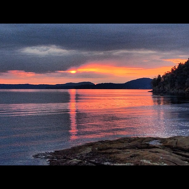
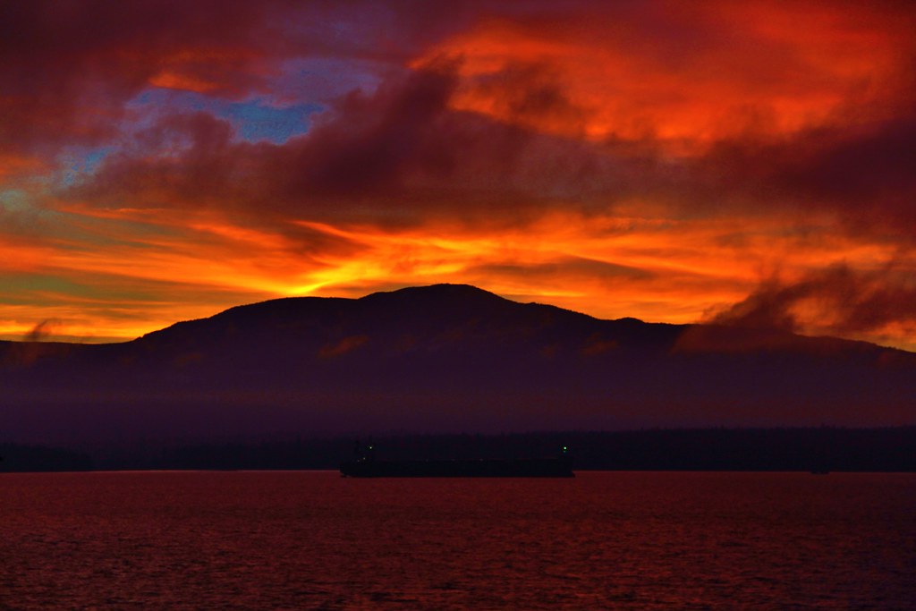
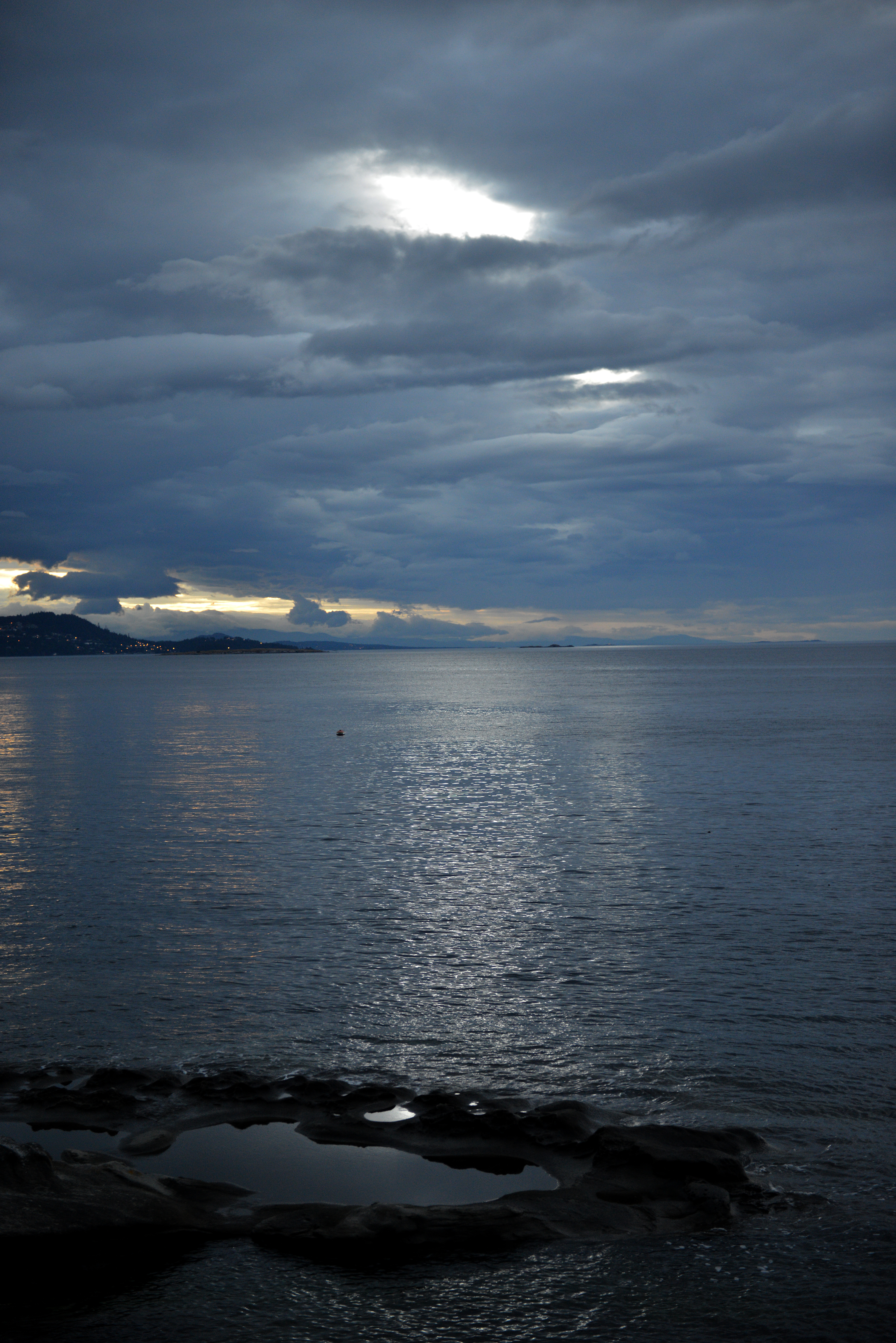
A west coast sunrise!
Topographic Map of McDonald Rd, Gabriola, BC V0R 1X7, Canada
Find elevation by address:

Places near McDonald Rd, Gabriola, BC V0R 1X7, Canada:
1640 Perry Rd
3045 Commodore Way
3045 Commodore Way
1916 Martin Rd
1916 Martin Rd
2745 Dorby Way
2390 Jolly Brothers Rd
3081 Seahaven Rd
9040 Driftwood Dr
3307 Cook St
Chemainus
9958 Daniel St
9939 Seaview St
Willow St, Chemainus, BC V0R 1K0, Canada
Chemainus Road
238 Suneagle Dr
238 Suneagle Dr
Sunset Dr, Salt Spring Island, BC V8K 1E7, Canada
105 Suneagle Dr
Sunset Drive
Recent Searches:
- Elevation of Erika Dr, Windsor, CA, USA
- Elevation of Village Ln, Finleyville, PA, USA
- Elevation of 24 Oakland Rd #, Scotland, ON N0E 1R0, Canada
- Elevation of Deep Gap Farm Rd E, Mill Spring, NC, USA
- Elevation of Dog Leg Dr, Minden, NV, USA
- Elevation of Dog Leg Dr, Minden, NV, USA
- Elevation of Kambingan Sa Pansol Atbp., Purok 7 Pansol, Candaba, Pampanga, Philippines
- Elevation of Pinewood Dr, New Bern, NC, USA
- Elevation of Mountain View, CA, USA
- Elevation of Foligno, Province of Perugia, Italy