Elevation of McClendon Ln, Amite City, LA, USA
Location: United States > Louisiana > Tangipahoa Parish > > Amite City >
Longitude: -90.423975
Latitude: 30.7740286
Elevation: 59m / 194feet
Barometric Pressure: 101KPa
Elevation Map:
Satellite Map:
Related Photos:

So Close, Yet So Far
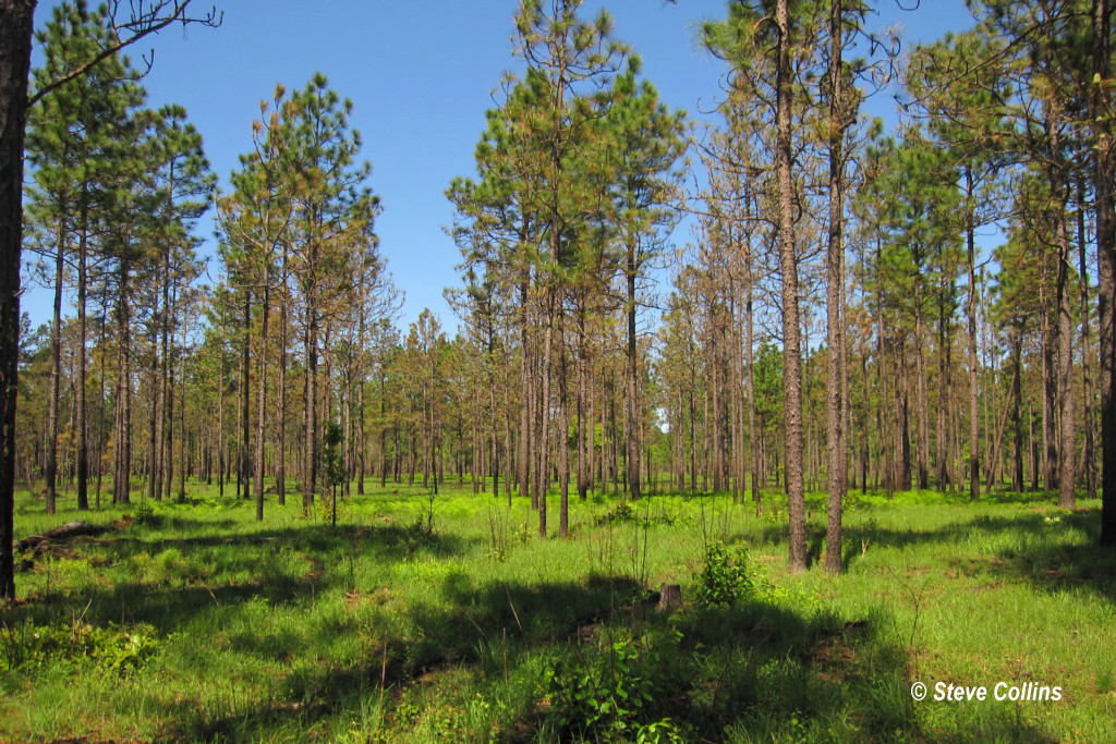
I ♥ Longleaf Flatwoods

RI038551.JPG

RI038543.JPG
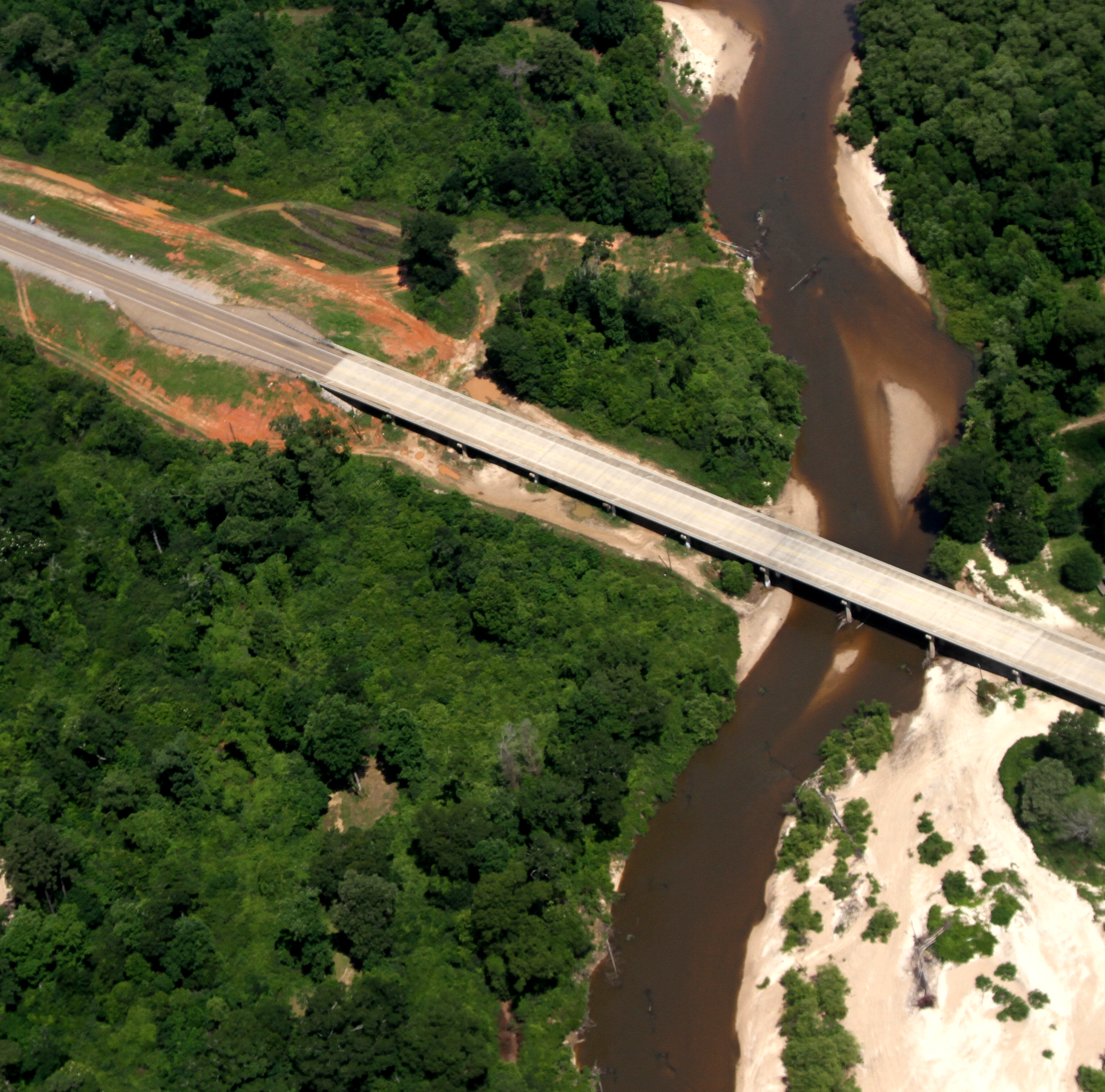
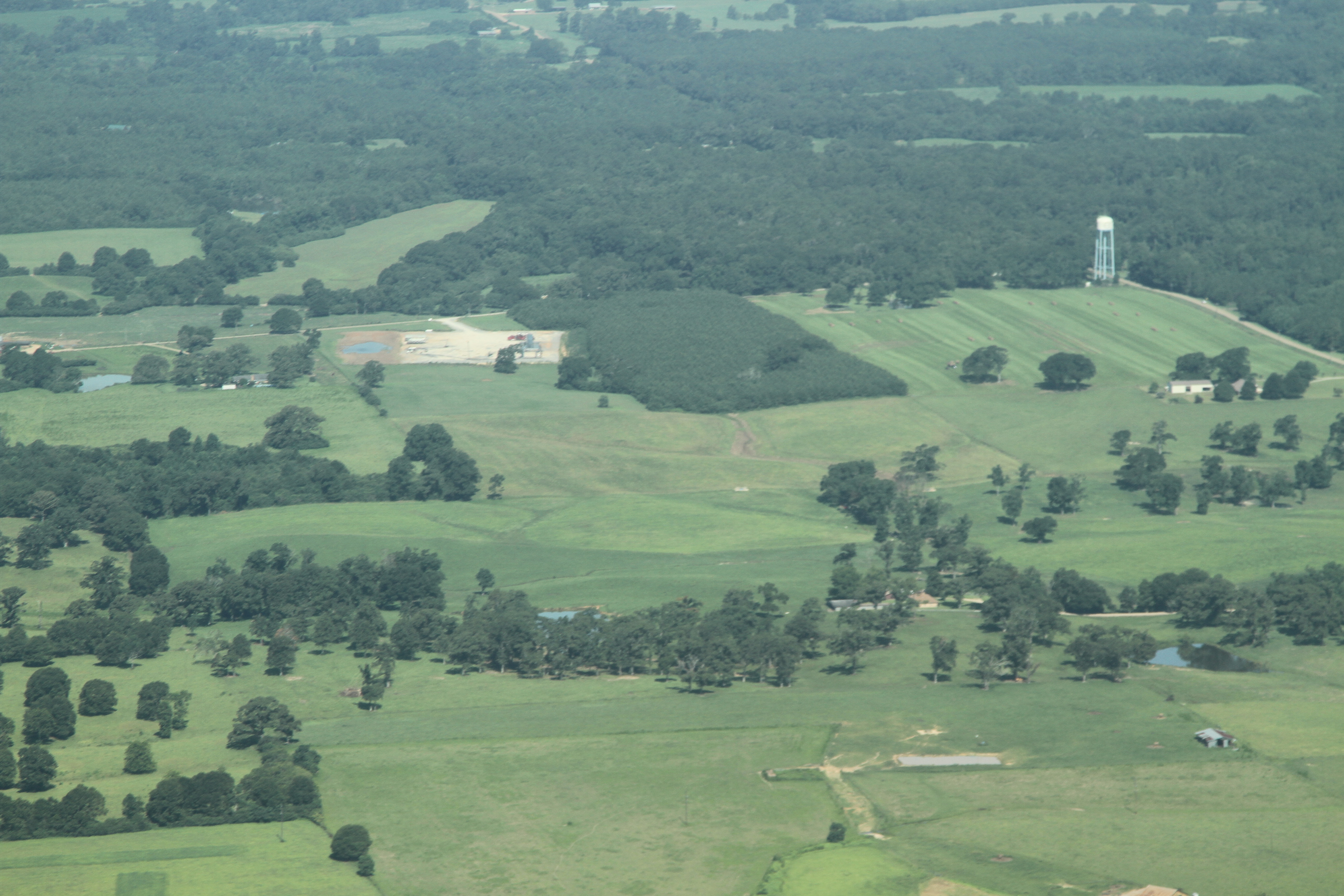
Scenic Tangipahoa River
RI038556.JPG
RI038560.JPG

IMG_3078 tangipahoa
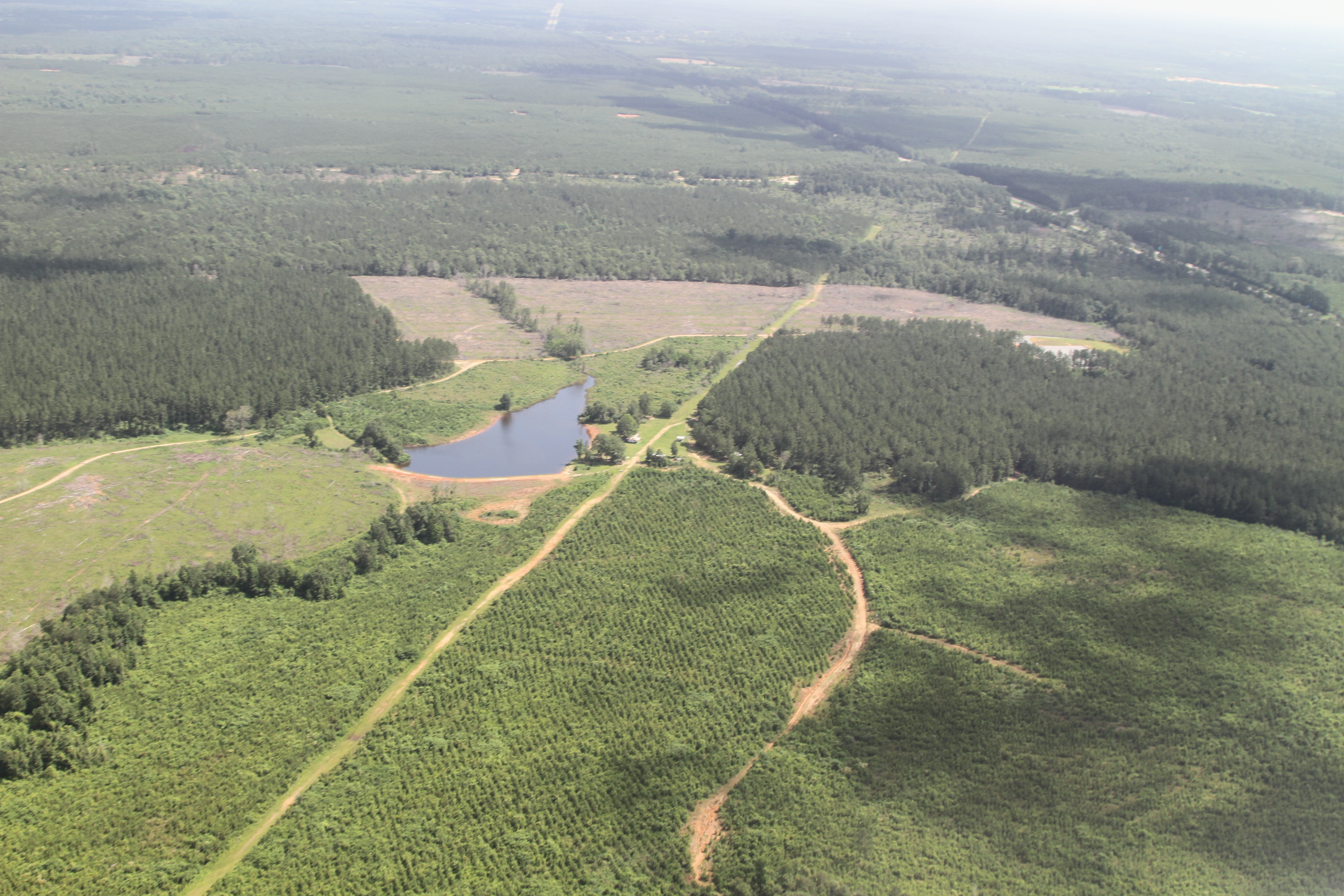
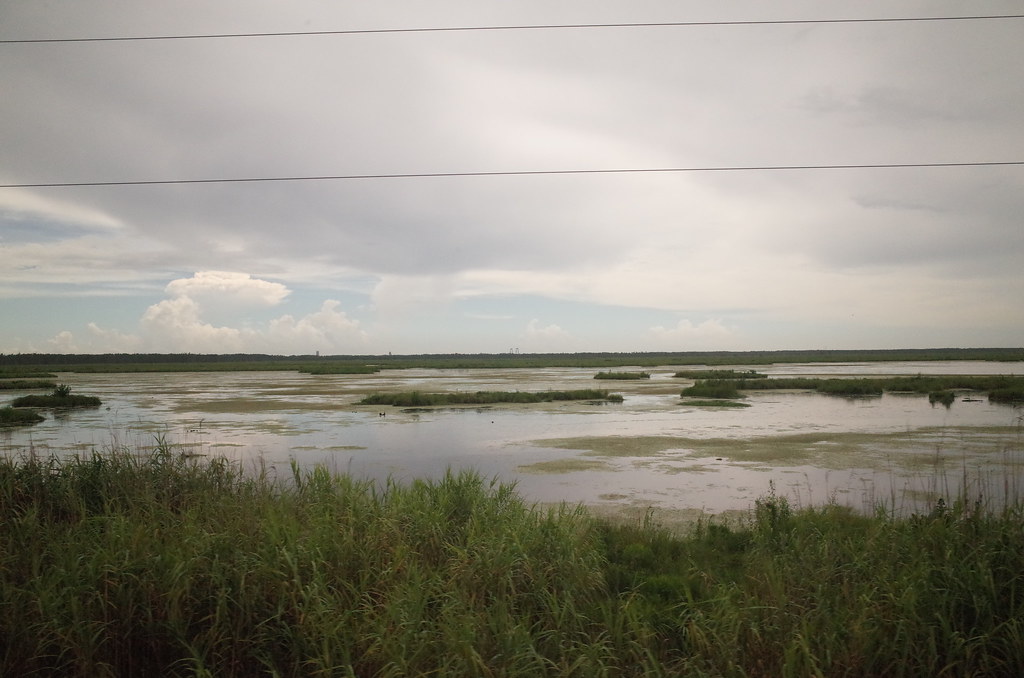
a farmer's pond turned to fracking

Henslow's Sparrow (Ammodramus henslowii)

RI038563.JPG

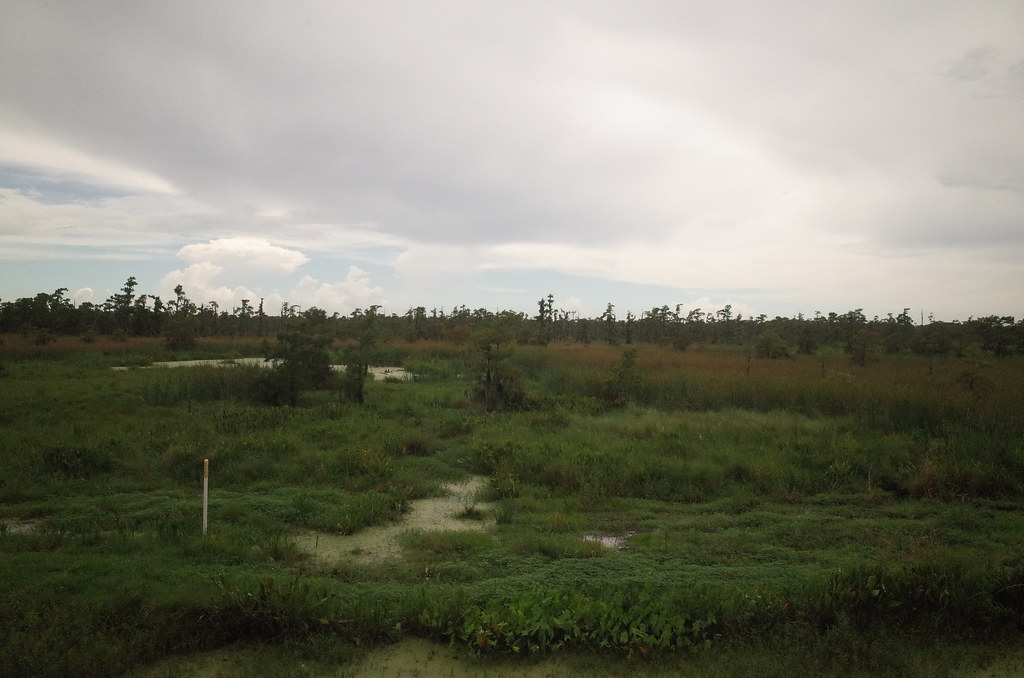
Sandy Hollow WMA

Louisiana morning
IMG_1354 E 156657
Topographic Map of McClendon Ln, Amite City, LA, USA
Find elevation by address:

Places near McClendon Ln, Amite City, LA, USA:
63355 Mcclendon Ln
63355 Mcclendon Ln
63355 Mcclendon Ln
63355 Mcclendon Ln
63355 Mcclendon Ln
63355 Mcclendon Ln
Alford Lane
67209 Oil Field Rd
67209 Oil Field Rd
67209 Oil Field Rd
US-51, Roseland, LA, USA
Roseland
12642 Tangipahoa Ave
12642 Tangipahoa Ave
12642 Tangipahoa Ave
Hill Street
US-51, Fluker, LA, USA
LA-, Kentwood, LA, USA
15401 La-440
Tangipahoa
Recent Searches:
- Elevation of Groblershoop, South Africa
- Elevation of Power Generation Enterprises | Industrial Diesel Generators, Oak Ave, Canyon Country, CA, USA
- Elevation of Chesaw Rd, Oroville, WA, USA
- Elevation of N, Mt Pleasant, UT, USA
- Elevation of 6 Rue Jules Ferry, Beausoleil, France
- Elevation of Sattva Horizon, 4JC6+G9P, Vinayak Nagar, Kattigenahalli, Bengaluru, Karnataka, India
- Elevation of Great Brook Sports, Gold Star Hwy, Groton, CT, USA
- Elevation of 10 Mountain Laurels Dr, Nashua, NH, USA
- Elevation of 16 Gilboa Ln, Nashua, NH, USA
- Elevation of Laurel Rd, Townsend, TN, USA