Elevation of Mazeppa, MN, USA
Location: United States > Minnesota > Wabasha County > Chester Township >
Longitude: -92.542079
Latitude: 44.2741649
Elevation: 291m / 955feet
Barometric Pressure: 98KPa
Elevation Map:
Satellite Map:
Related Photos:
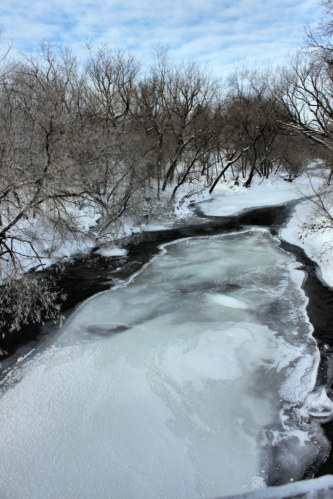
Zumbrota River View

house on a hill
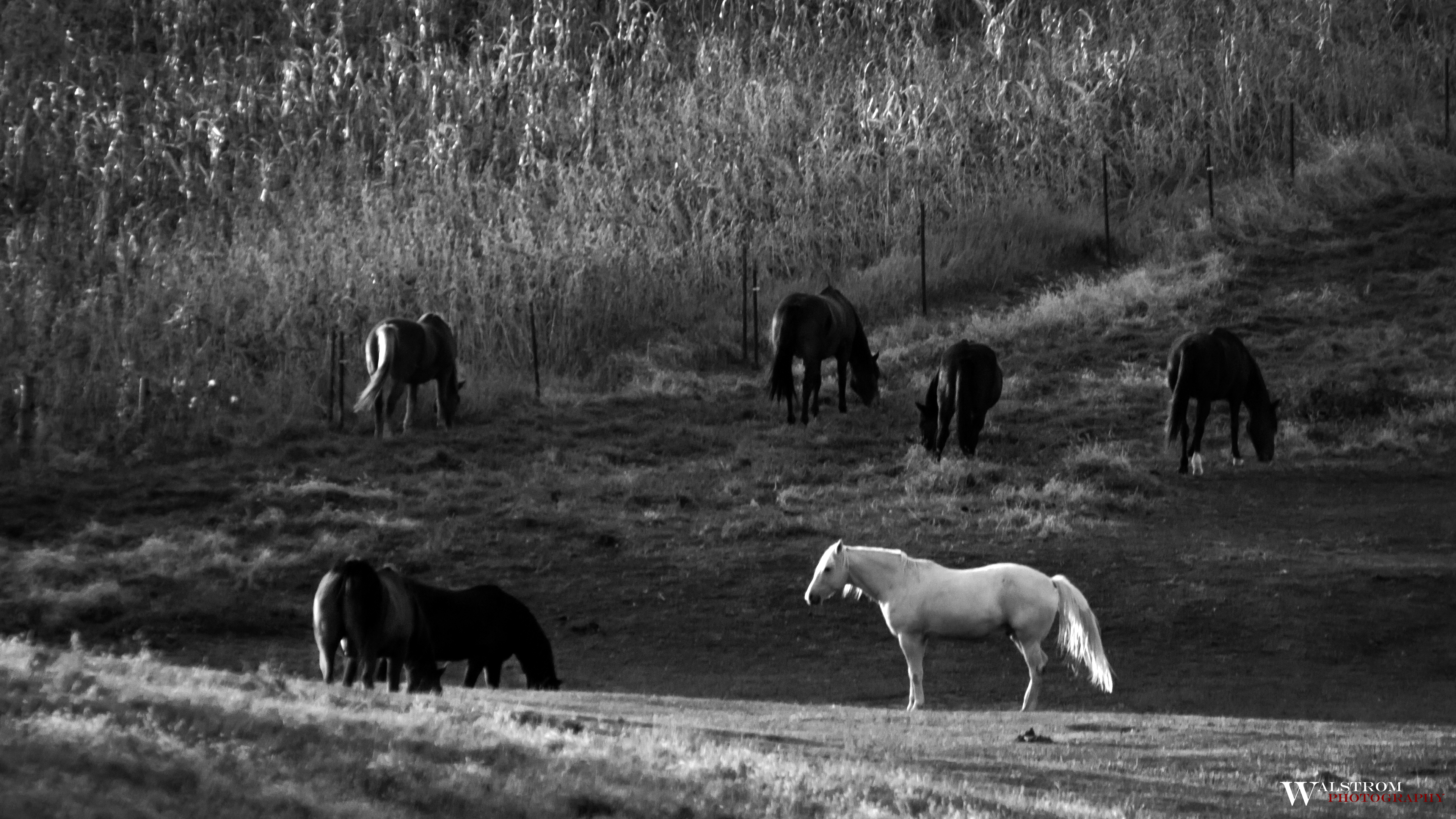
Standing out from the crowd

Step Away From the Sliders

Minnesota Cornfield

Farm Field
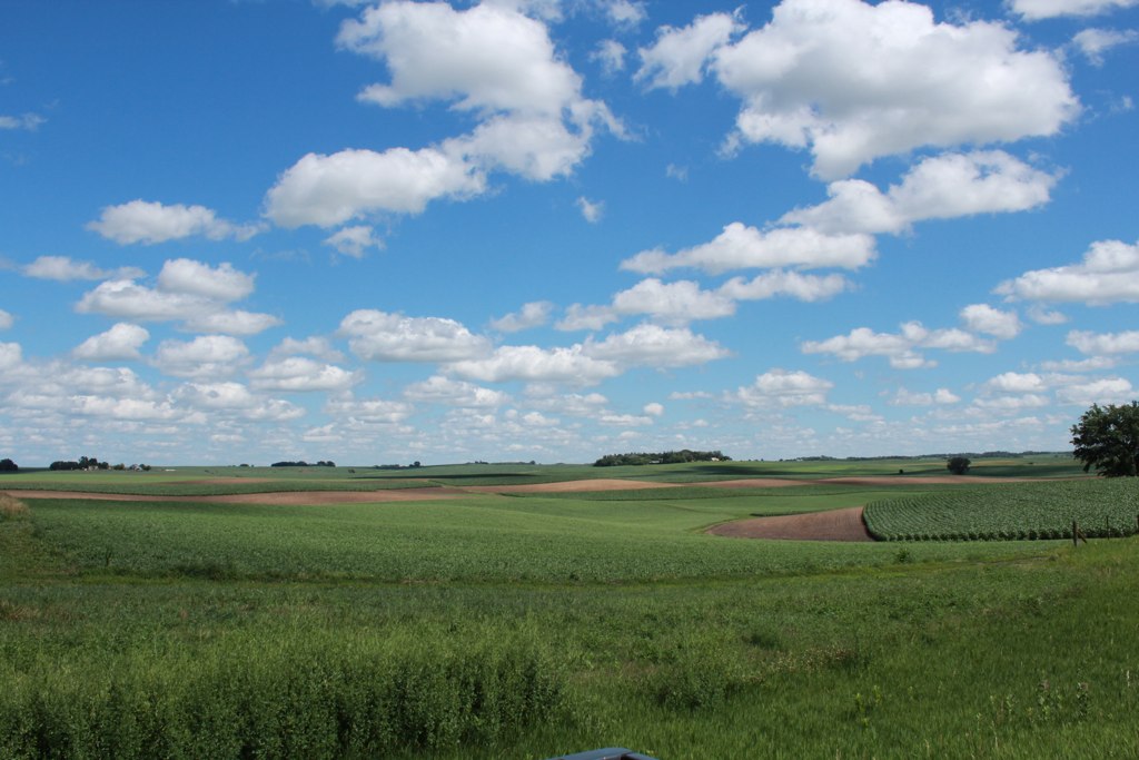
Farmland and Clouds

Frosty Winter Sunrise Skies of Minnesota
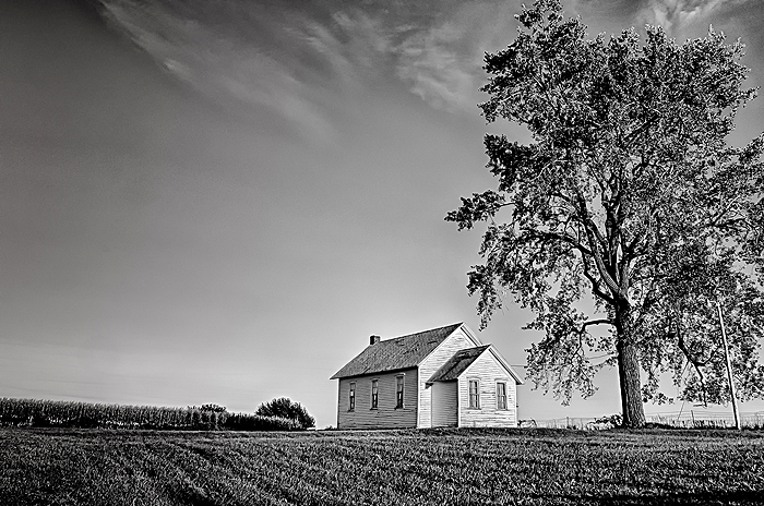
Township Hall

Icy Blue Moonshine

Moon Over Barn - Can you see the goats?

County Rd 7 Bridge

Minnesota Plant Life

Cliche Corn

dirty river

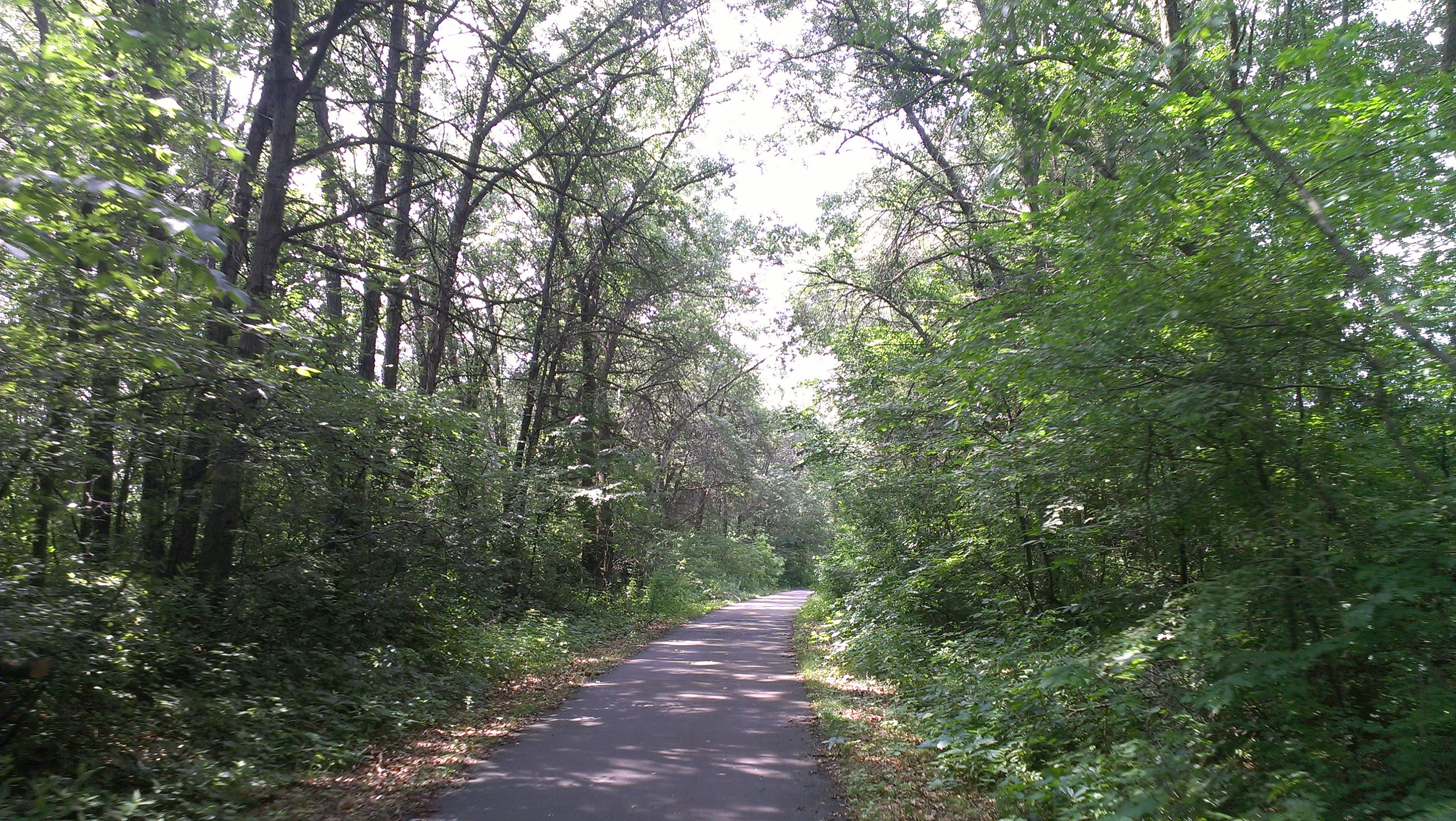
the woods
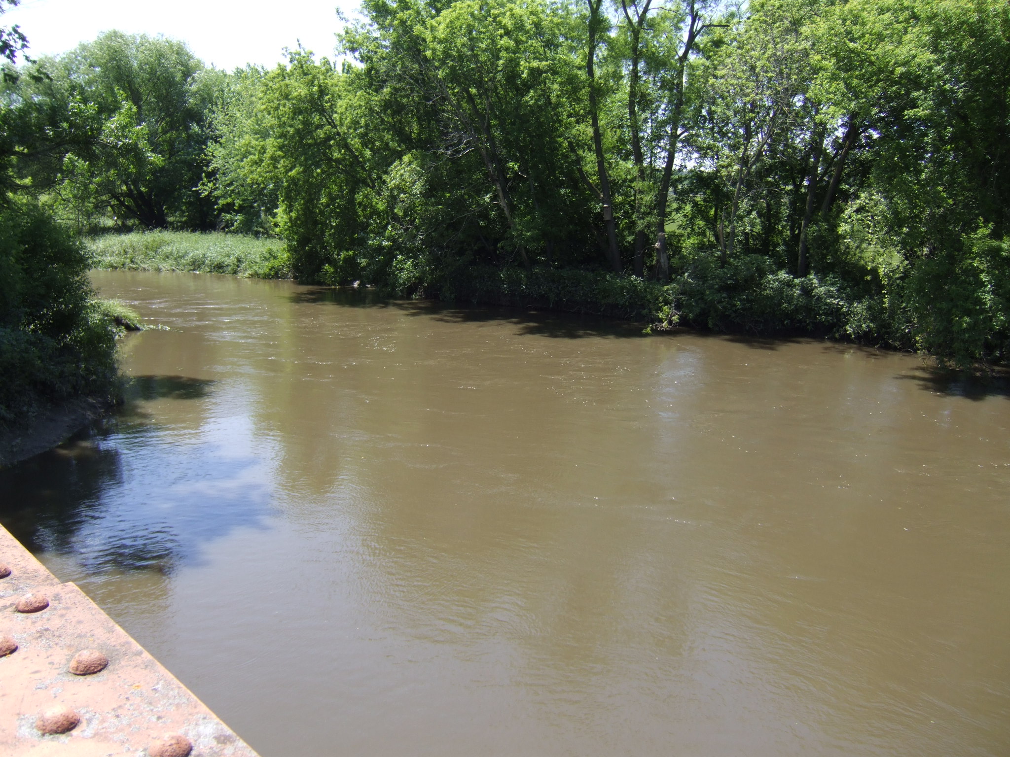
some call it a river
2013-07-08 10.55.53
Topographic Map of Mazeppa, MN, USA
Find elevation by address:

Places in Mazeppa, MN, USA:
Places near Mazeppa, MN, USA:
County Rd 3, Mazeppa, MN, USA
Chester Township
Zumbro Township
11055 11th Ave Ne
Goodhue
Oak Center
Goodhue Township
Belvidere Township
75th St NW, Oronoco, MN, USA
County 3 Blvd, Goodhue, MN, USA
19 Bridge Ave S, Hammond, MN, USA
Clarkia Drive Northwest
6664 Clarkia Dr Nw
1135 Chippewa Dr Nw
County 52 Blvd, Goodhue, MN, USA
Cascade Township
Northwest Rochester
Fairway Drive Northwest
5918 Fairway Dr Nw
2716 61st St Nw
Recent Searches:
- Elevation of Congressional Dr, Stevensville, MD, USA
- Elevation of Bellview Rd, McLean, VA, USA
- Elevation of Stage Island Rd, Chatham, MA, USA
- Elevation of Shibuya Scramble Crossing, 21 Udagawacho, Shibuya City, Tokyo -, Japan
- Elevation of Jadagoniai, Kaunas District Municipality, Lithuania
- Elevation of Pagonija rock, Kranto 7-oji g. 8"N, Kaunas, Lithuania
- Elevation of Co Rd 87, Jamestown, CO, USA
- Elevation of Tenjo, Cundinamarca, Colombia
- Elevation of Côte-des-Neiges, Montreal, QC H4A 3J6, Canada
- Elevation of Bobcat Dr, Helena, MT, USA