Elevation of Chester Township, MN, USA
Location: United States > Minnesota > Wabasha County >
Longitude: -92.480198
Latitude: 44.3157339
Elevation: 300m / 984feet
Barometric Pressure: 98KPa
Elevation Map:
Satellite Map:
Related Photos:

Brick Mansion
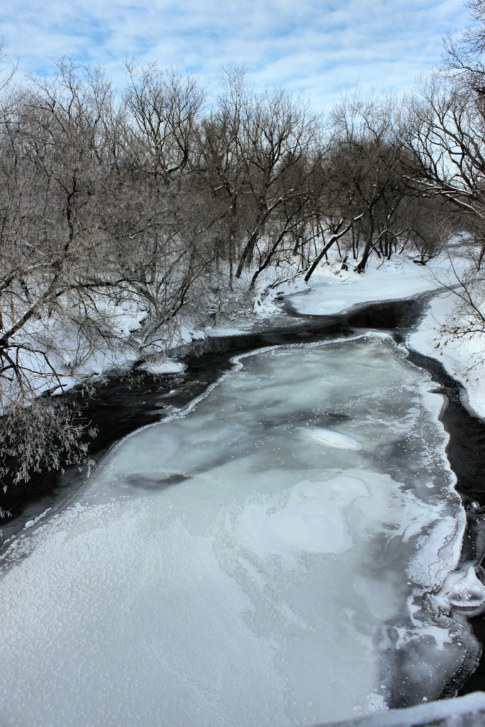
Zumbrota River View
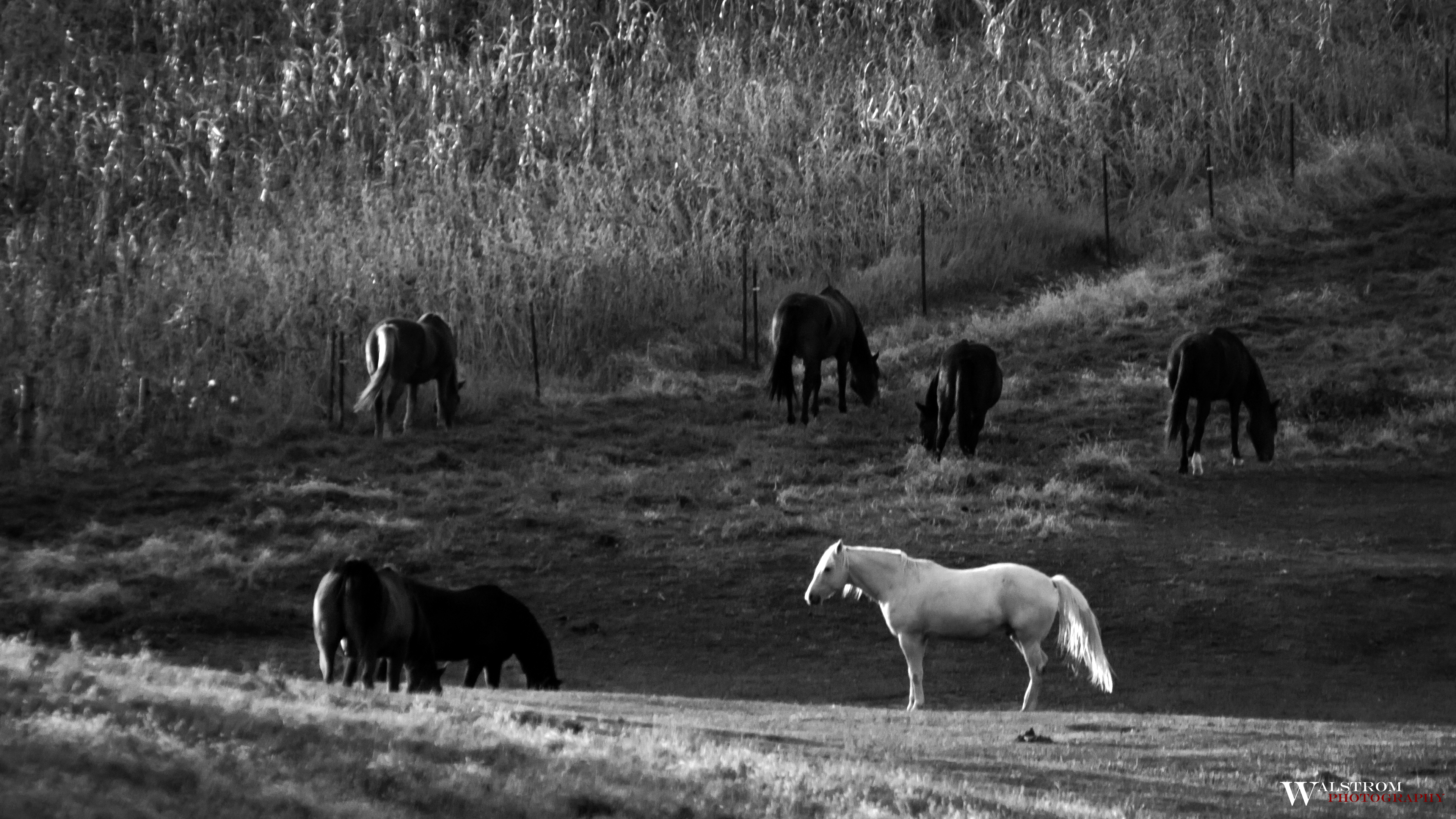
Standing out from the crowd

Step Away From the Sliders

Minnesota Cornfield

Cliche Corn

Farm Field
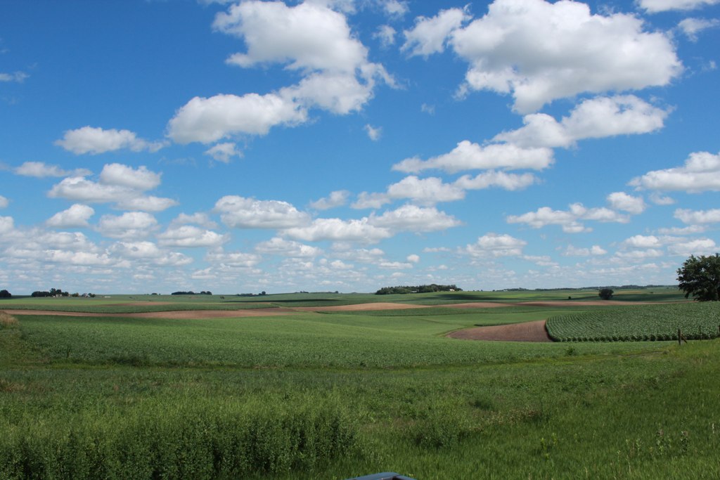
Farmland and Clouds
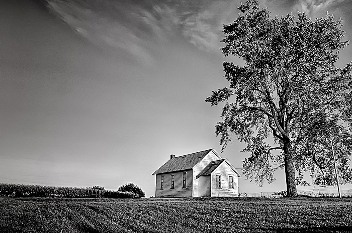
Township Hall

Frosty Winter Sunrise Skies of Minnesota

Icy Blue Moonshine

Moon Over Barn - Can you see the goats?

County Rd 7 Bridge

Minnesota Plant Life
Topographic Map of Chester Township, MN, USA
Find elevation by address:

Places in Chester Township, MN, USA:
Places near Chester Township, MN, USA:
County Rd 3, Mazeppa, MN, USA
Mazeppa
Zumbro Township
Oak Center
Belvidere Township
County 3 Blvd, Goodhue, MN, USA
19 Bridge Ave S, Hammond, MN, USA
Mount Pleasant Township
11055 11th Ave Ne
th Ave, Millville, MN, USA
Goodhue Township
Goodhue
Lake City, MN, USA
Hay Creek Valley Campground And Old Western Saloon
Hay Creek Township
MN-60, Millville, MN, USA
County 52 Blvd, Goodhue, MN, USA
Bridge St, Millville, MN, USA
County Rd 23, Millville, MN, USA
MN-, Elgin, MN, USA
Recent Searches:
- Elevation of Elwyn Dr, Roanoke Rapids, NC, USA
- Elevation of Congressional Dr, Stevensville, MD, USA
- Elevation of Bellview Rd, McLean, VA, USA
- Elevation of Stage Island Rd, Chatham, MA, USA
- Elevation of Shibuya Scramble Crossing, 21 Udagawacho, Shibuya City, Tokyo -, Japan
- Elevation of Jadagoniai, Kaunas District Municipality, Lithuania
- Elevation of Pagonija rock, Kranto 7-oji g. 8"N, Kaunas, Lithuania
- Elevation of Co Rd 87, Jamestown, CO, USA
- Elevation of Tenjo, Cundinamarca, Colombia
- Elevation of Côte-des-Neiges, Montreal, QC H4A 3J6, Canada