Elevation of Mazandaran Province, Filband Road, Iran
Location: Iran > Mazandaran >
Longitude: 52.5174862
Latitude: 36.1595982
Elevation: 1916m / 6286feet
Barometric Pressure: 80KPa
Elevation Map:
Satellite Map:
Related Photos:

فیلبند مازندران
and...

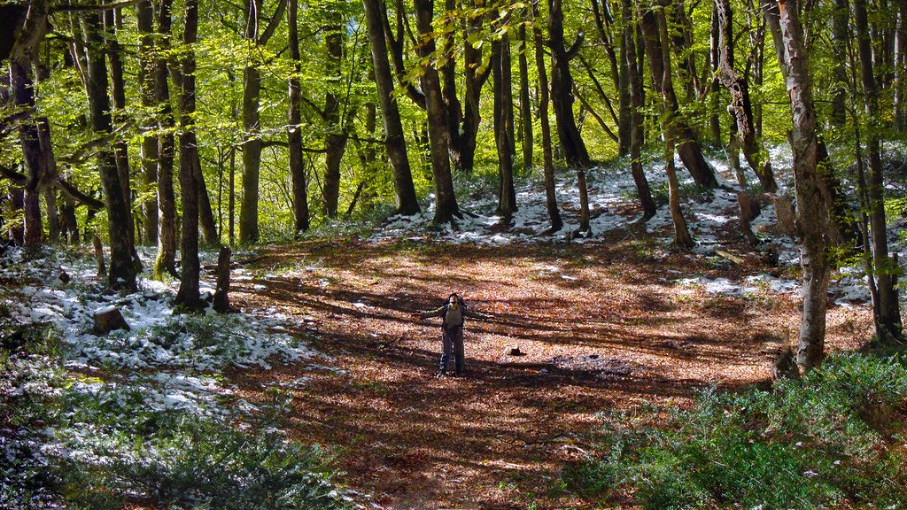
#me #myself #selfie Mountaineering, #leaves, #love, #tree, #autumn, #fall, #mountain, #snow, #friend

#Mountaineering, #leaves, #love, #tree, #autumn, #fall, #mountain, #cloud, #friend

#Mountaineering, #leaves, #love, #tree, #autumn, #fall, #mountain, #cloud, #mist #friend

. Location: #Alimestan #Jungle, #Chelav, #Amol, #Mazandaran Province, #Iran Photo by: @a_aali_photo Thanks for sharing it with us ------------------------------ . #IRANTOURIST #الیمستان #چلاو #آمل #مازندران #ایران عکس از @a_aali_photo با سپاس از اشتراک آ

#jungle #trees #branch #fall #highland #friend #together #walking #mountaineering

روستاى پل سفيد
Topographic Map of Mazandaran Province, Filband Road, Iran
Find elevation by address:

Places near Mazandaran Province, Filband Road, Iran:
Filband
Mazandaran
Lut
Alborz Dam
Amol
Shirgah
Central District
Babol County
Babol
هتل دماوند
آبگرم پایین لاریجان
Upper Abgarm Larijan
Nava
کرچک
Mount Damavand
Talar River
Qaemshahr
Haraz Road
Haraz Road
Firuzkuh
Recent Searches:
- Elevation of Spaceport America, Co Rd A, Truth or Consequences, NM, USA
- Elevation of Warwick, RI, USA
- Elevation of Fern Rd, Whitmore, CA, USA
- Elevation of 62 Abbey St, Marshfield, MA, USA
- Elevation of Fernwood, Bradenton, FL, USA
- Elevation of Felindre, Swansea SA5 7LU, UK
- Elevation of Leyte Industrial Development Estate, Isabel, Leyte, Philippines
- Elevation of W Granada St, Tampa, FL, USA
- Elevation of Pykes Down, Ivybridge PL21 0BY, UK
- Elevation of Jalan Senandin, Lutong, Miri, Sarawak, Malaysia