Elevation of Maysville, GA, USA
Location: United States > Georgia >
Longitude: -83.561554
Latitude: 34.2528839
Elevation: 277m / 909feet
Barometric Pressure: 98KPa
Elevation Map:
Satellite Map:
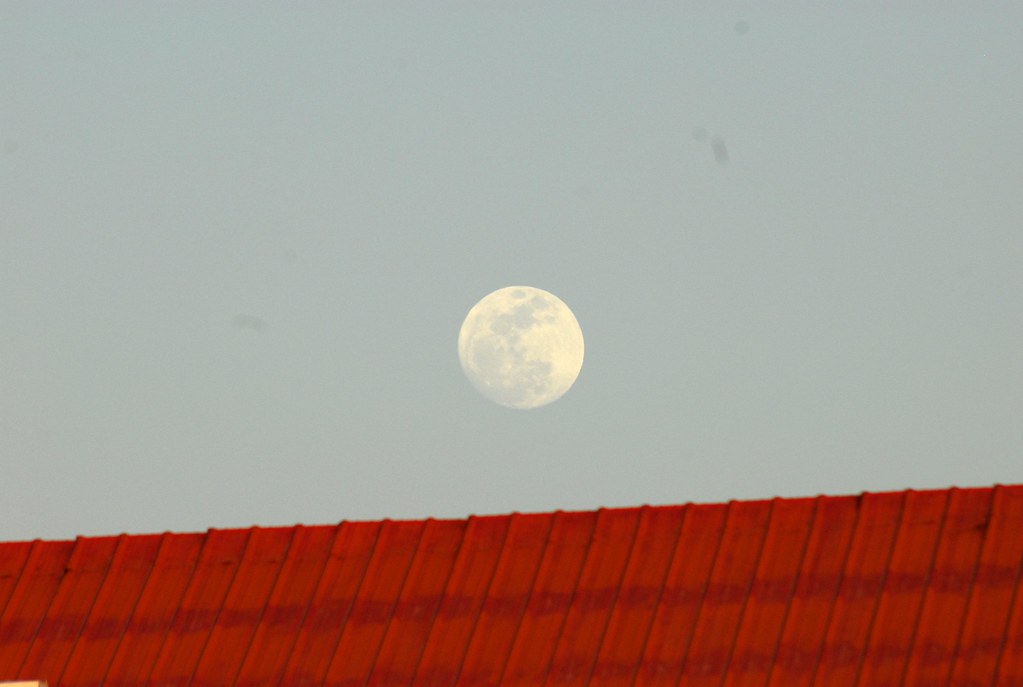
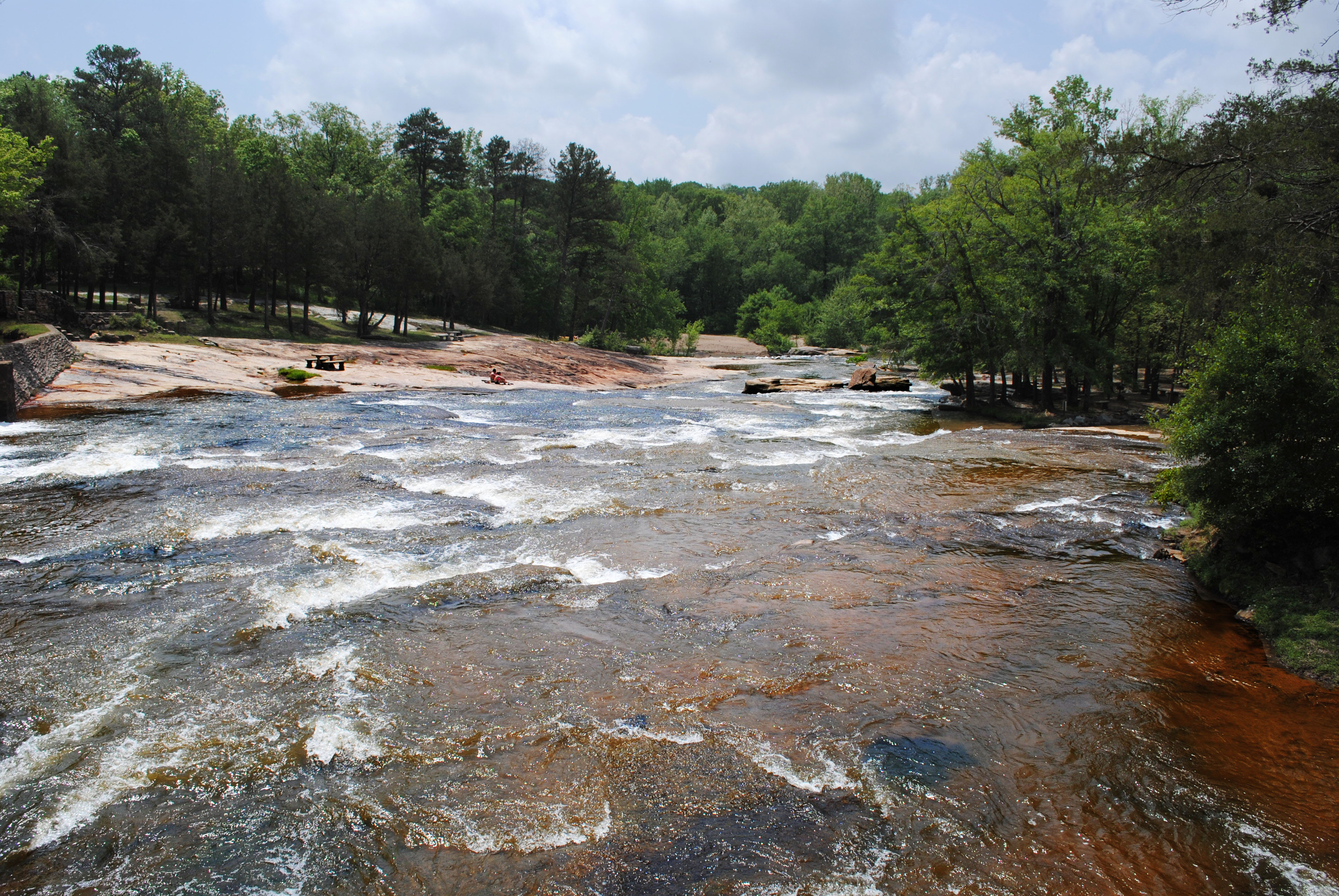
Related Photos:

NHRA Southern nationals 2014 Q3
Smiling on the tower
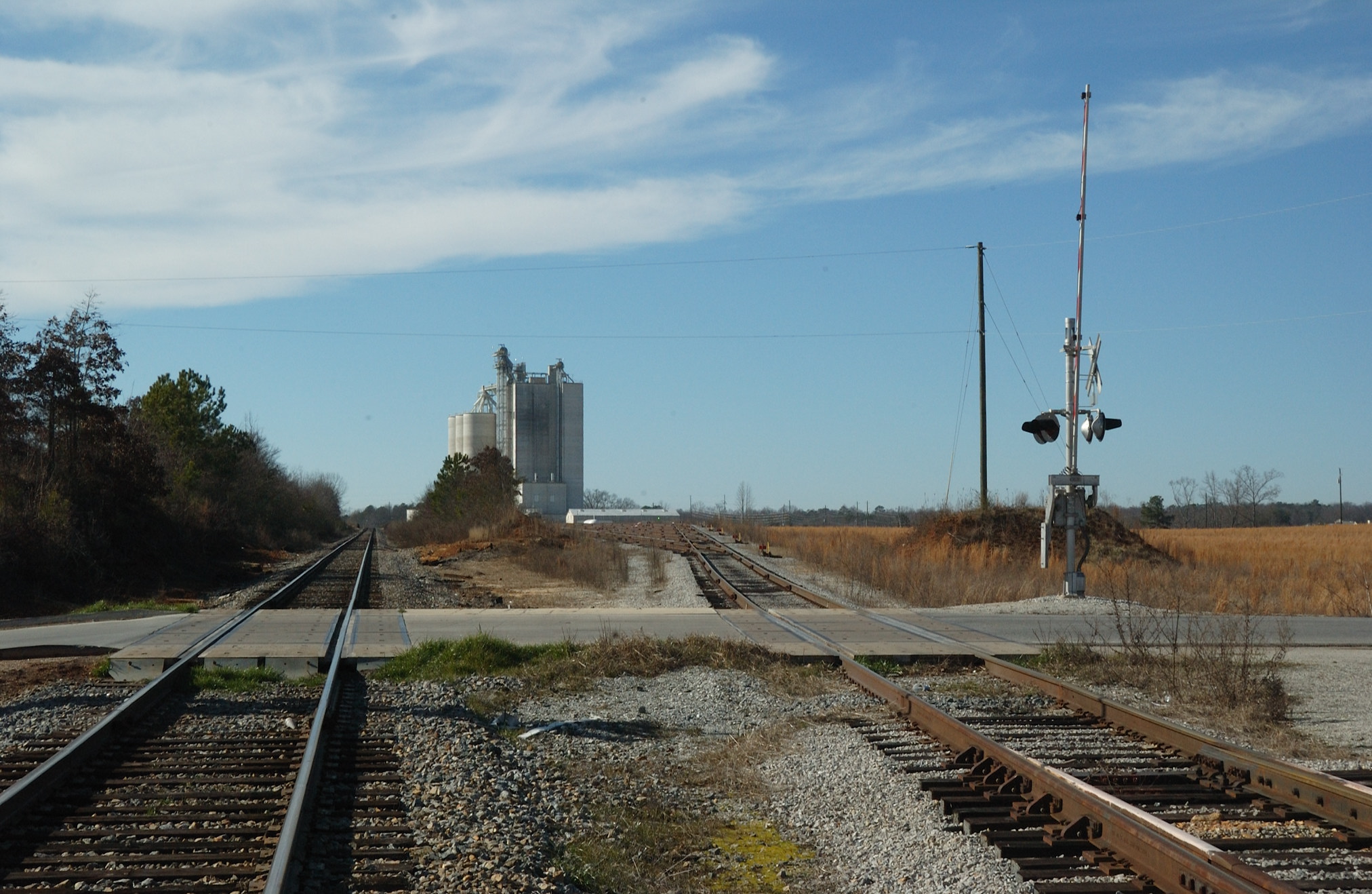
Maysville Grain Elevator

Summit Orange and Mountain View Tire Pro Stock's

Mountain View Tires Pro Stock

AAA Auto Club Fuel F/C, birds eye view

Mountain View Tire Pro Stock

JFR camp
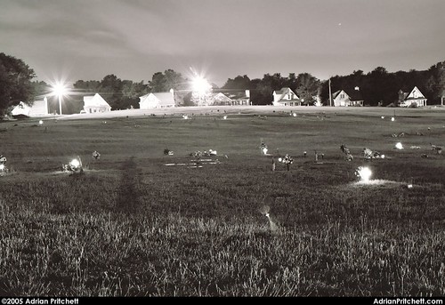
Grey Hill Cemetery

Grand Tetons

Grand Teton National Park

Hurricane Shoals Park - River
Hurricane Shoals Park
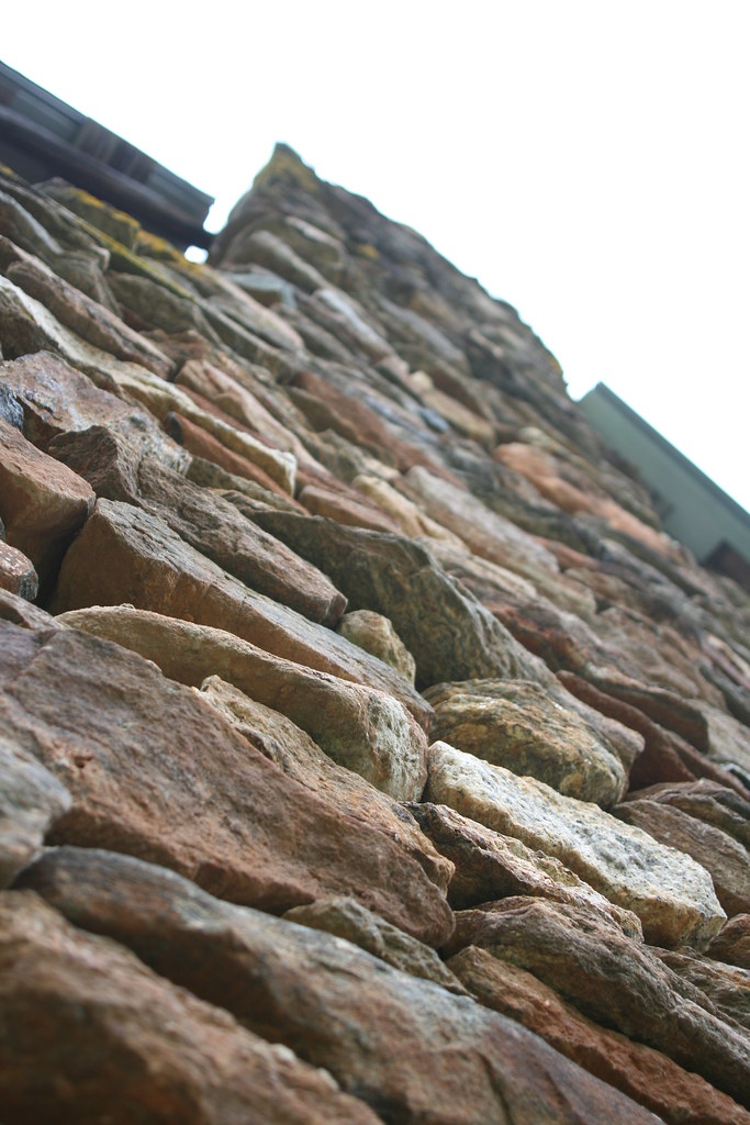
Rock Chimney
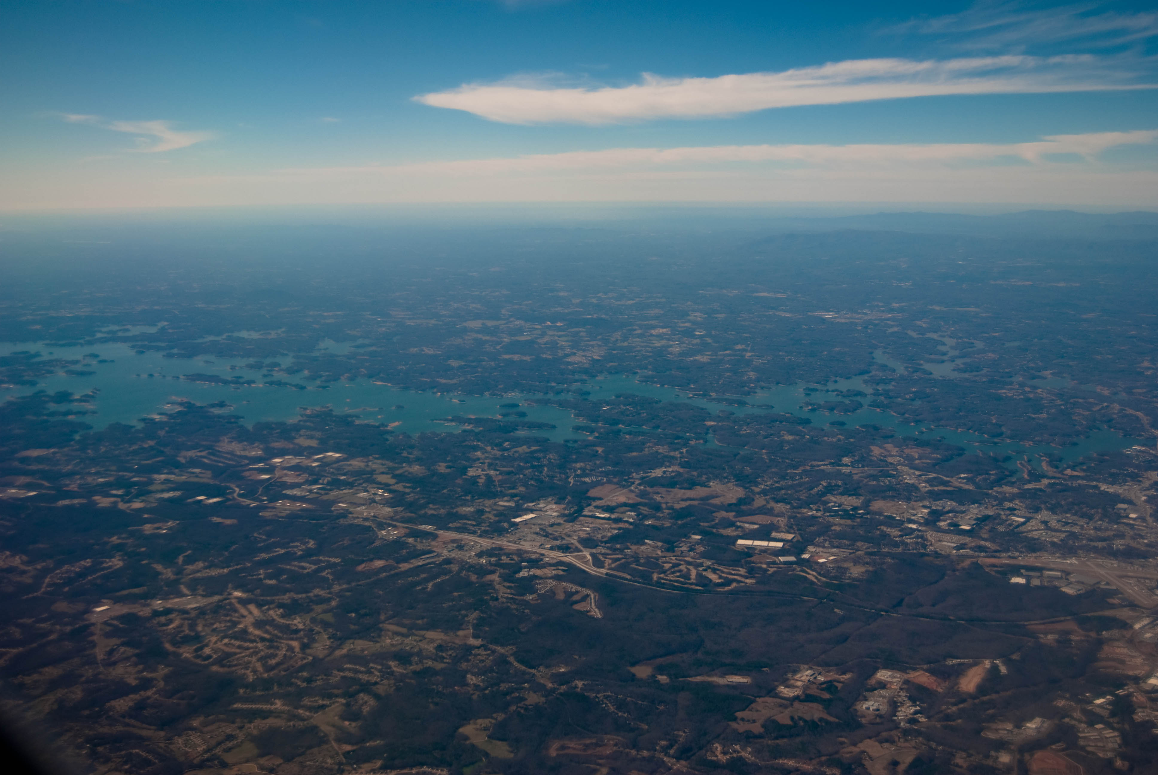
Lake Sidney Lanier
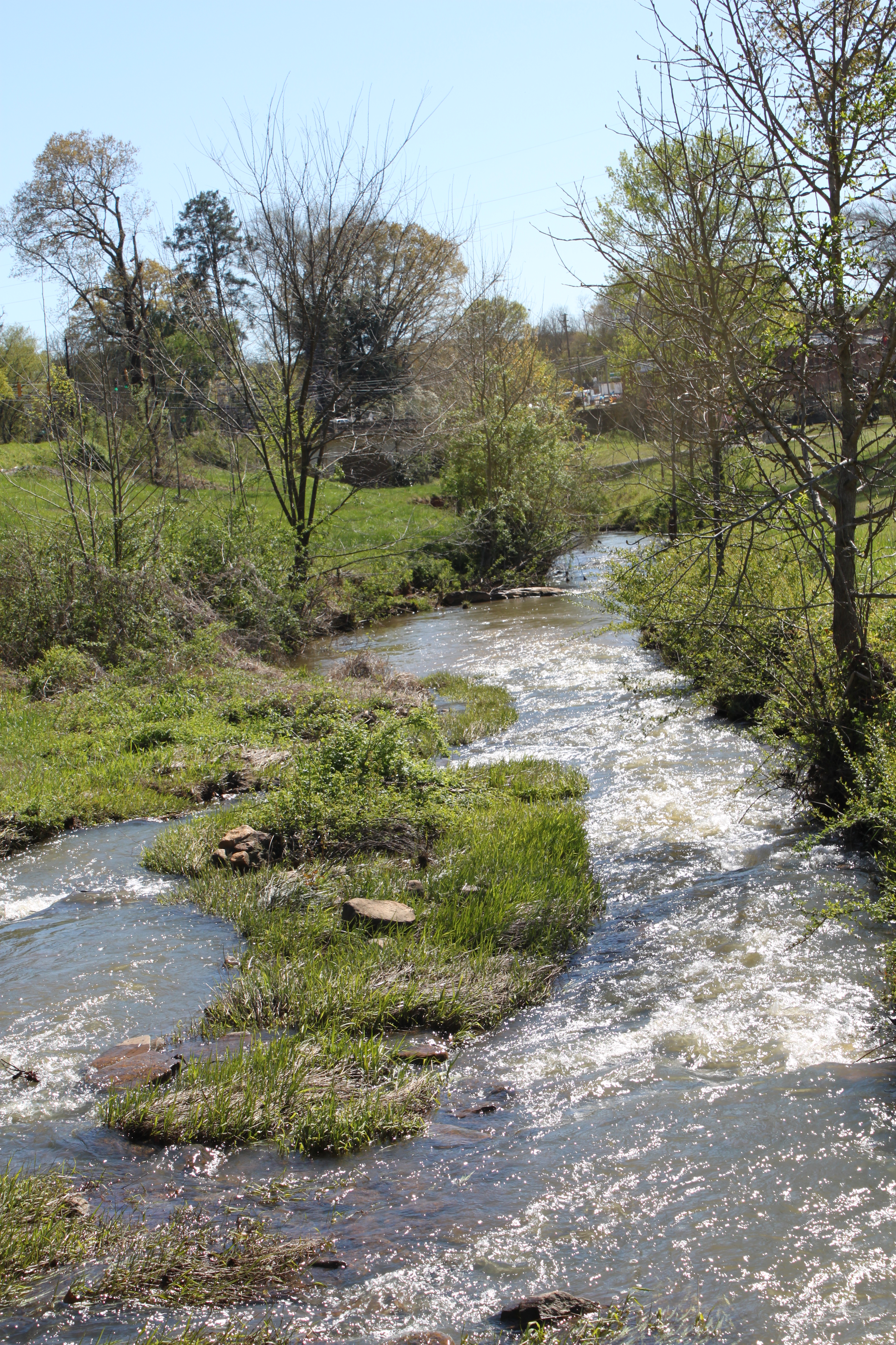
The Stream

Some pretty spectacular scenes heading into ATL during a rainstorm tonight. #cloudporn #skies #clouds #inflight #intheclouds

Roadside Flowers and a Bee. Near Walnut Fork.
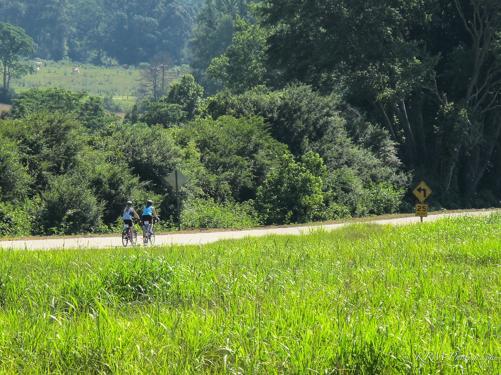
Marlow Rd. in Jackson County.
Topographic Map of Maysville, GA, USA
Find elevation by address:

Places in Maysville, GA, USA:
Places near Maysville, GA, USA:
Mitchell Street
623 Horseshoe Bend
274 Oak Crest Ln
Holly Springs Rd, Pendergrass, GA, USA
411 Jefferson Blvd
155 Carrington Dr
5473 Mt Olive Rd
660 Skyview Dr
660 Skyview Dr
660 Skyview Dr
S Apple Valley Rd, Commerce, GA, USA
Commerce Rd, Jefferson, GA, USA
Commerce
318 Cherry St
79 Millwood Dr
53 Wood St
325 Shankle Heights
212 Millwood Dr
316 Piedmont St
133 Manor Dr
Recent Searches:
- Elevation of Spaceport America, Co Rd A, Truth or Consequences, NM, USA
- Elevation of Warwick, RI, USA
- Elevation of Fern Rd, Whitmore, CA, USA
- Elevation of 62 Abbey St, Marshfield, MA, USA
- Elevation of Fernwood, Bradenton, FL, USA
- Elevation of Felindre, Swansea SA5 7LU, UK
- Elevation of Leyte Industrial Development Estate, Isabel, Leyte, Philippines
- Elevation of W Granada St, Tampa, FL, USA
- Elevation of Pykes Down, Ivybridge PL21 0BY, UK
- Elevation of Jalan Senandin, Lutong, Miri, Sarawak, Malaysia