Elevation of Jefferson Blvd, Jefferson, GA, USA
Location: United States > Georgia > Jackson County > Jefferson >
Longitude: -83.604304
Latitude: 34.1659966
Elevation: 271m / 889feet
Barometric Pressure: 98KPa
Elevation Map:
Satellite Map:
Related Photos:

Saying Goodbye

Maysville Grain Elevator
Downtown Braselton view
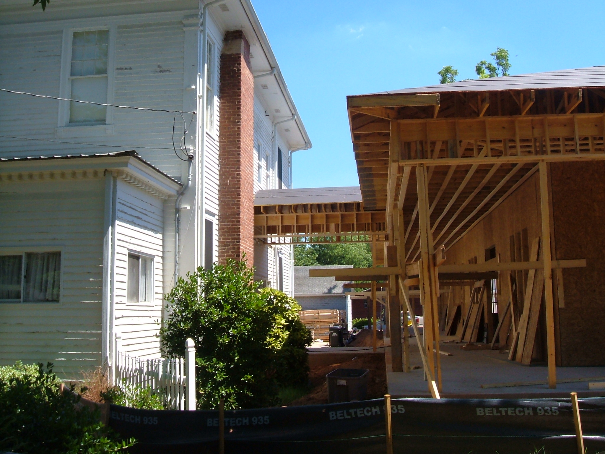
View of new construction

Garden view

Ceremony site view

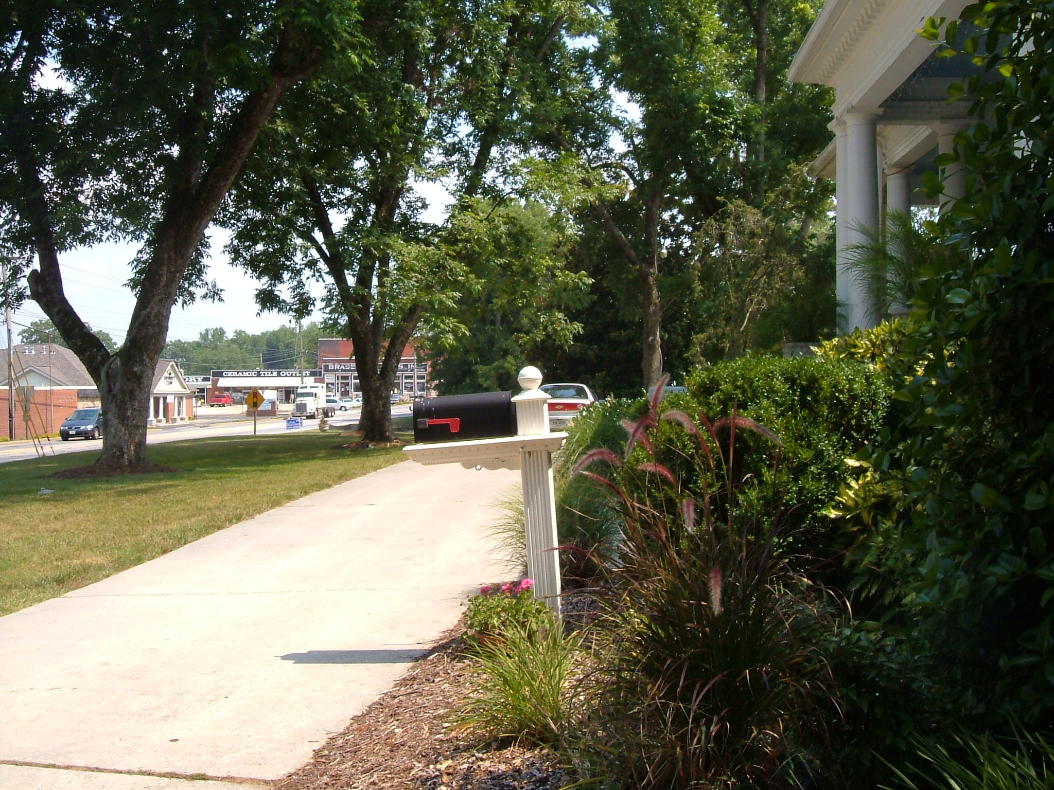
View of driveway

Hurricane Shoals Covered Bridge

Sells Mill hidden in the trees in Hoschton, Georgia

Sells Mill in Hoschton, Georgia

Hello lovely...

The Log

Dam @ Sell's Mill
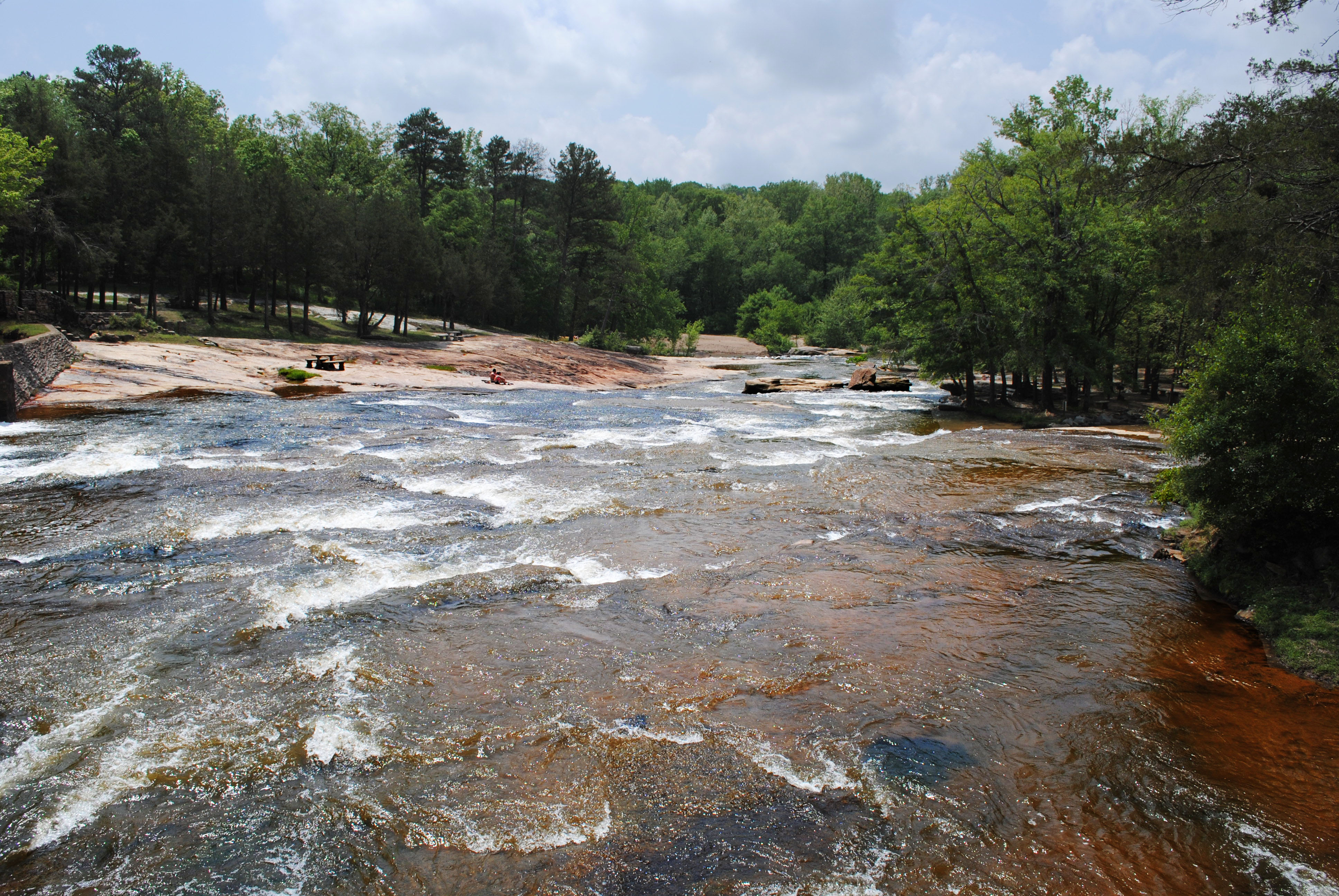
Hurricane Shoals Park

Sells Mill Dam

Sells Mill

Lake Sidney Lanier

Marlow Rd. in Jackson County.

Rustic Abandoned Barn

Rock Chimney

Roadside Flowers and a Bee. Near Walnut Fork.

Relax...

The Stream

Soft Surface Trail

Grey Hill Cemetery

Ceremony Site Side
Topographic Map of Jefferson Blvd, Jefferson, GA, USA
Find elevation by address:

Places near Jefferson Blvd, Jefferson, GA, USA:
Academy Church Rd, Jefferson, GA, USA
274 Oak Crest Ln
623 Horseshoe Bend
Jefferson
Jackson County
Commerce Rd, Jefferson, GA, USA
Holly Springs Rd, Pendergrass, GA, USA
S Apple Valley Rd, Commerce, GA, USA
Maysville
Mitchell Street
Brockton Rd, Jefferson, GA, USA
1435 Hoods Mill Rd
79 Millwood Dr
212 Millwood Dr
486 Smallwood Dr
151 Millside Ct
Commerce
155 Carrington Dr
318 Cherry St
316 Piedmont St
Recent Searches:
- Elevation of Elwyn Dr, Roanoke Rapids, NC, USA
- Elevation of Congressional Dr, Stevensville, MD, USA
- Elevation of Bellview Rd, McLean, VA, USA
- Elevation of Stage Island Rd, Chatham, MA, USA
- Elevation of Shibuya Scramble Crossing, 21 Udagawacho, Shibuya City, Tokyo -, Japan
- Elevation of Jadagoniai, Kaunas District Municipality, Lithuania
- Elevation of Pagonija rock, Kranto 7-oji g. 8"N, Kaunas, Lithuania
- Elevation of Co Rd 87, Jamestown, CO, USA
- Elevation of Tenjo, Cundinamarca, Colombia
- Elevation of Côte-des-Neiges, Montreal, QC H4A 3J6, Canada