Elevation of Maxwell, NM, USA
Location: United States > New Mexico > Colfax County >
Longitude: -104.54332
Latitude: 36.5400319
Elevation: 1806m / 5925feet
Barometric Pressure: 81KPa
Elevation Map:
Satellite Map:
Related Photos:
831: French, New Mexico
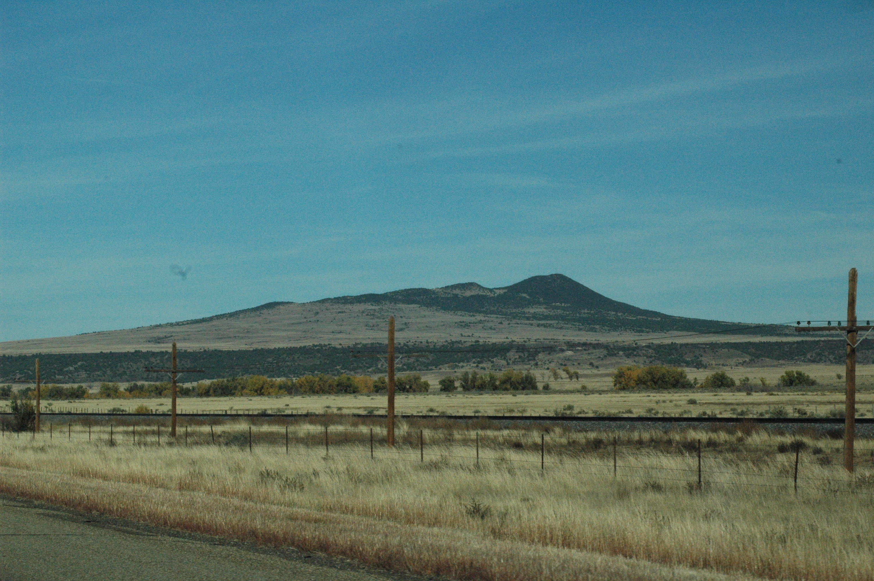
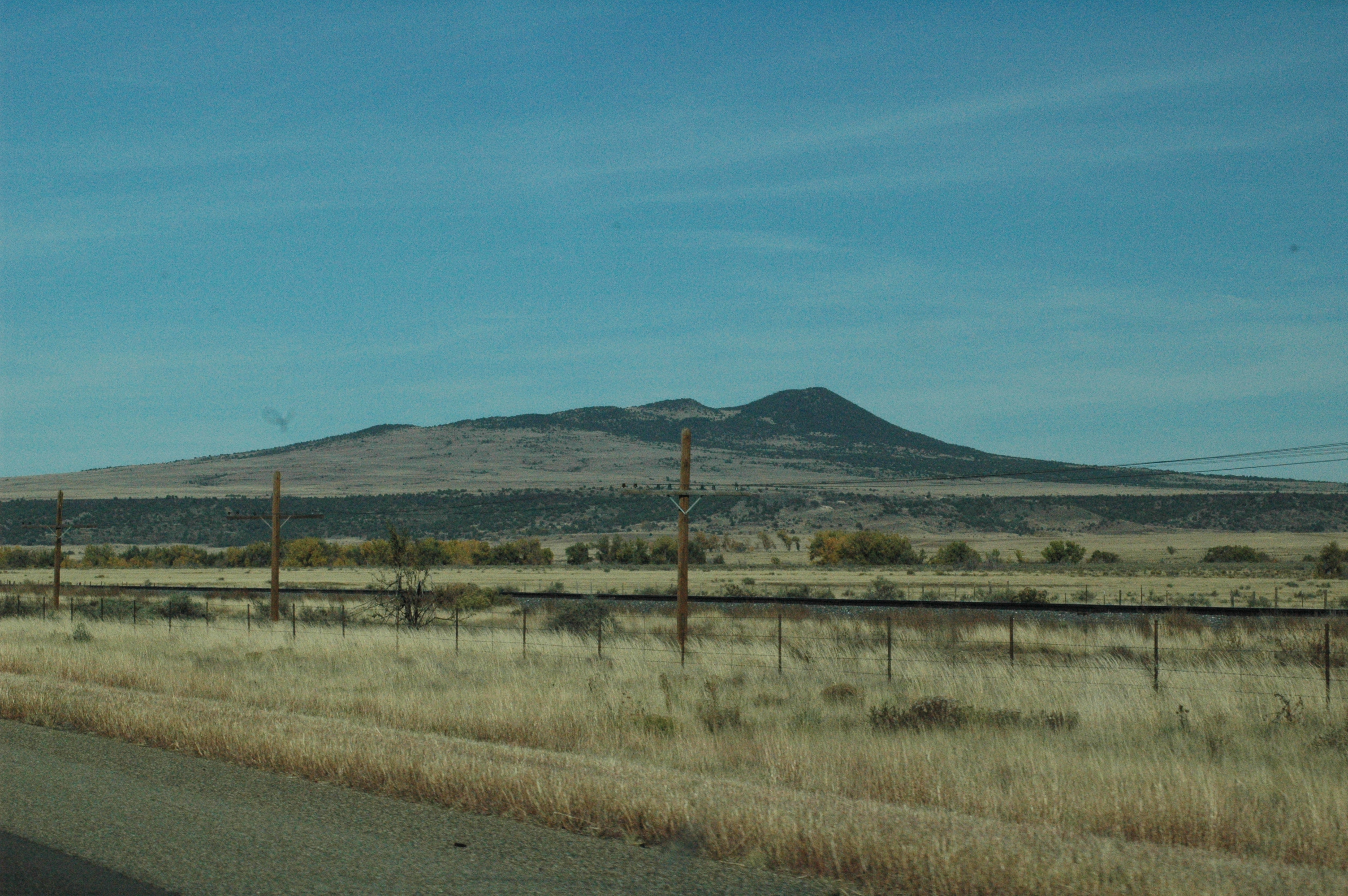
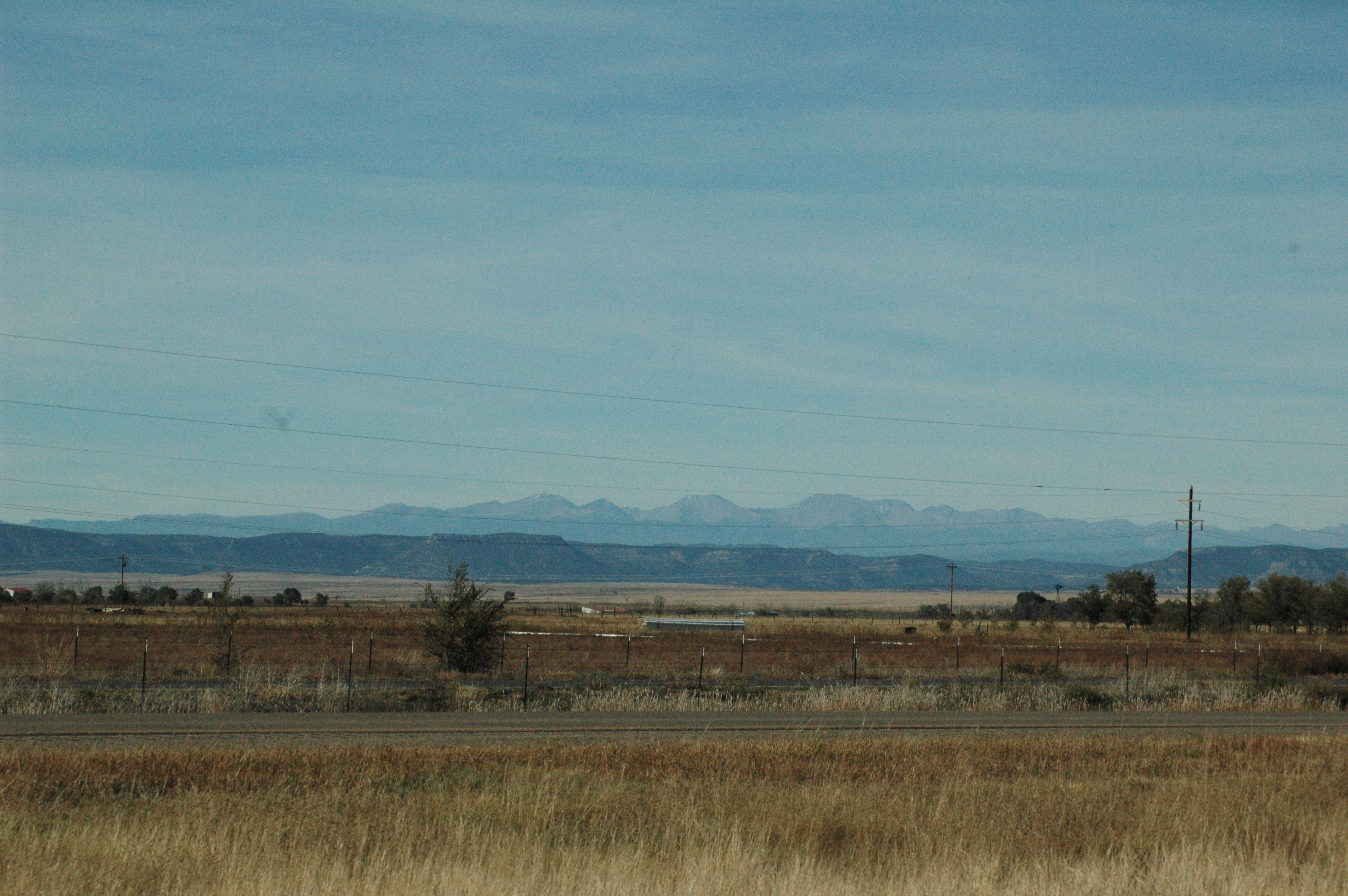
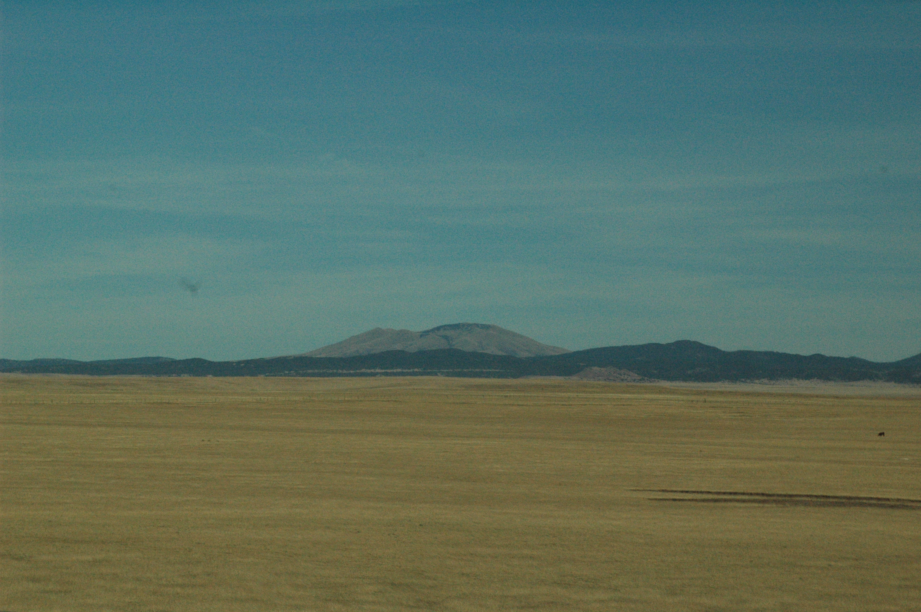
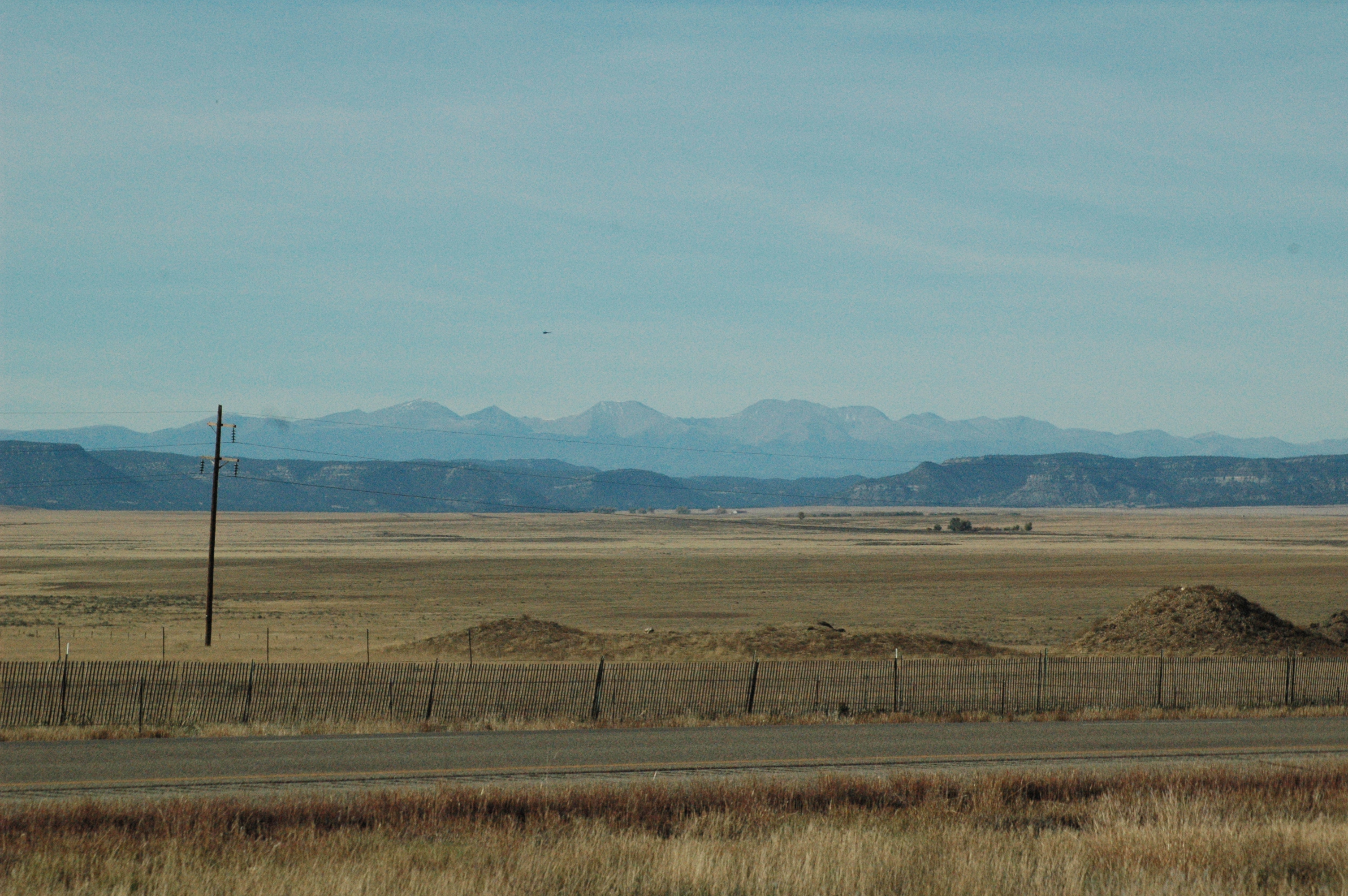
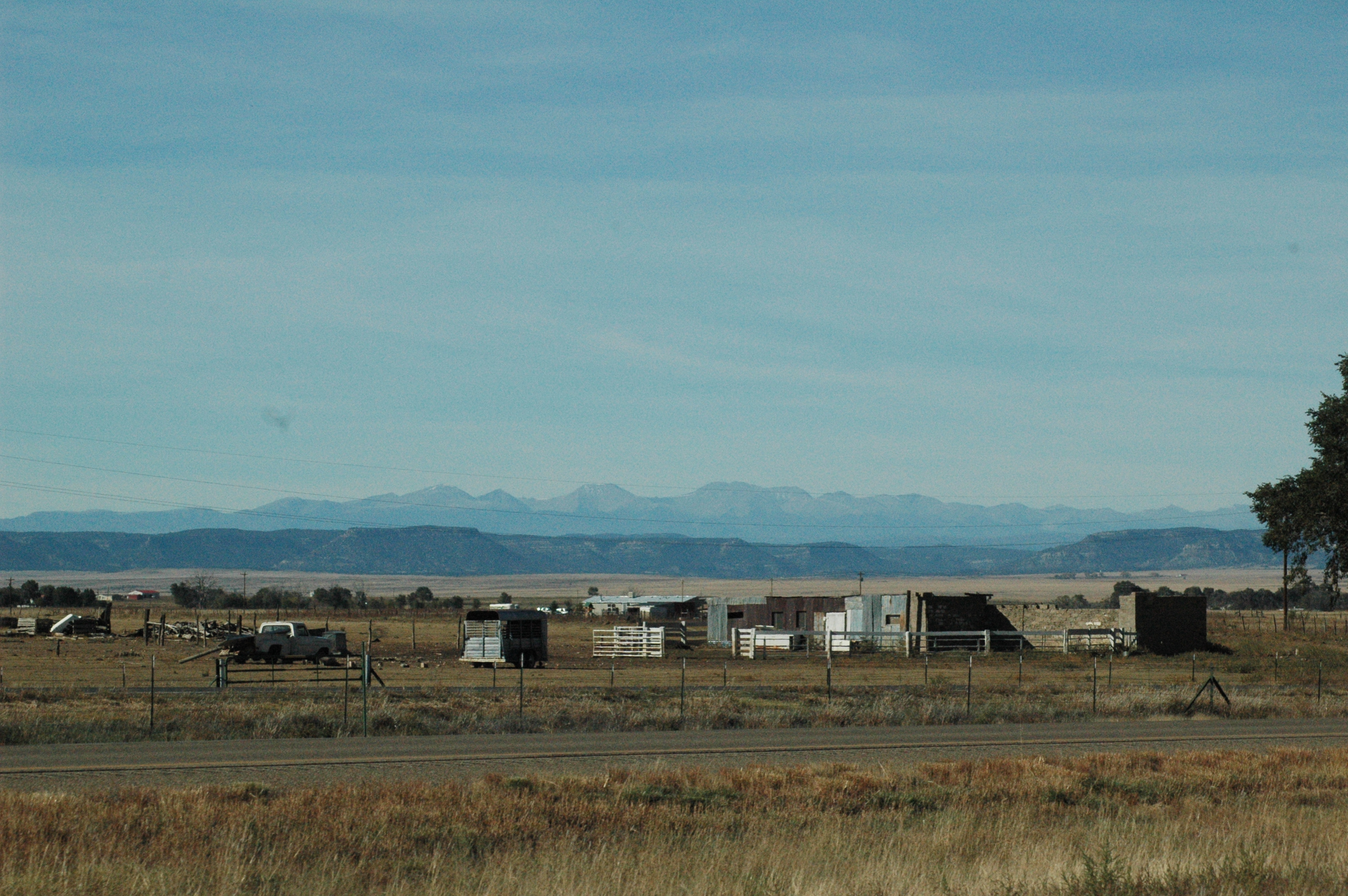
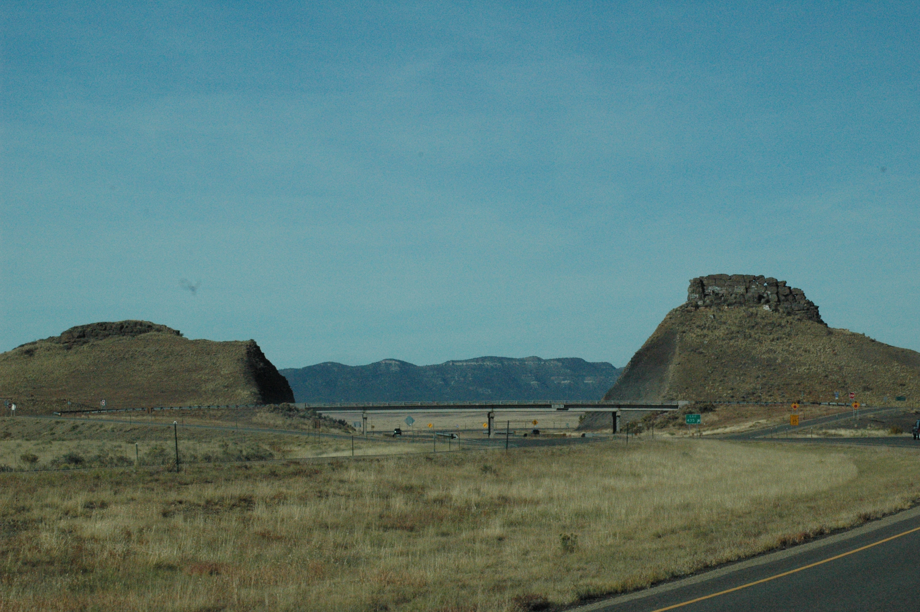
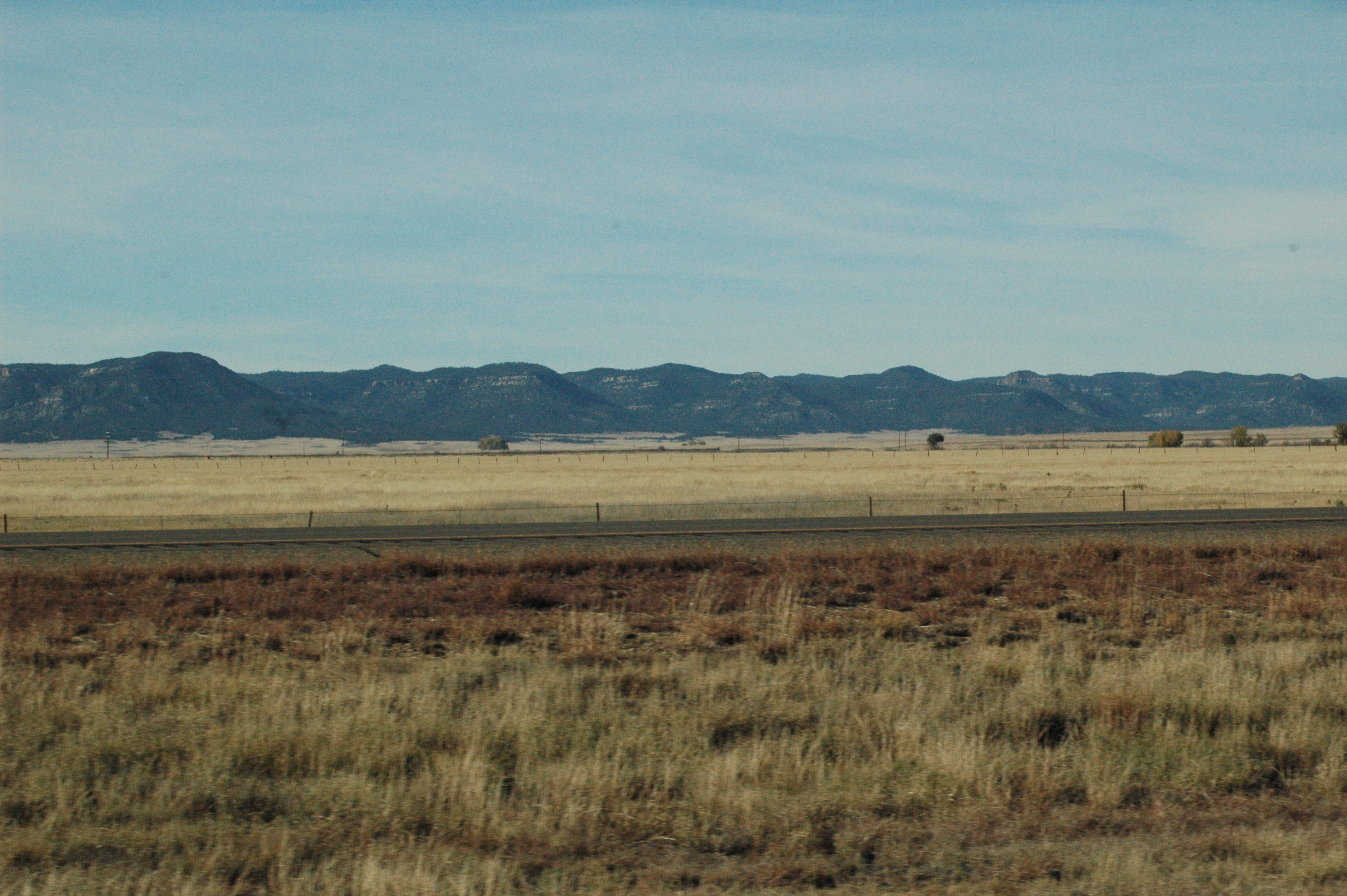
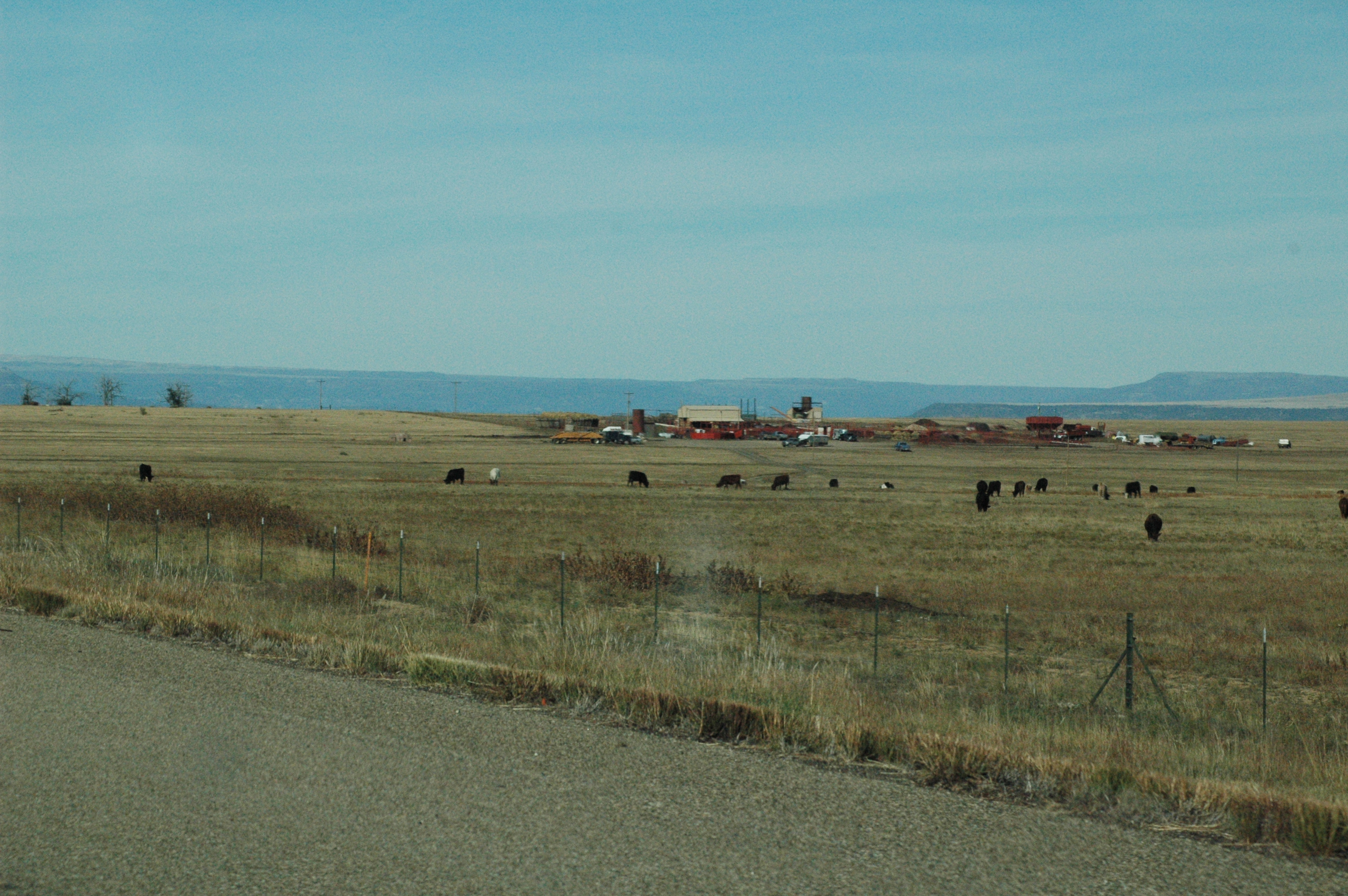
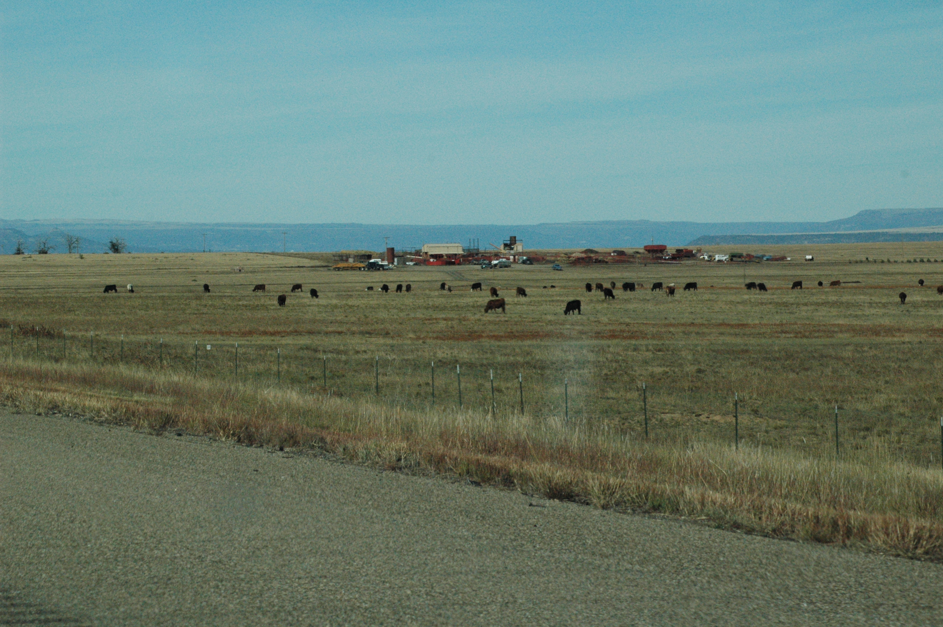
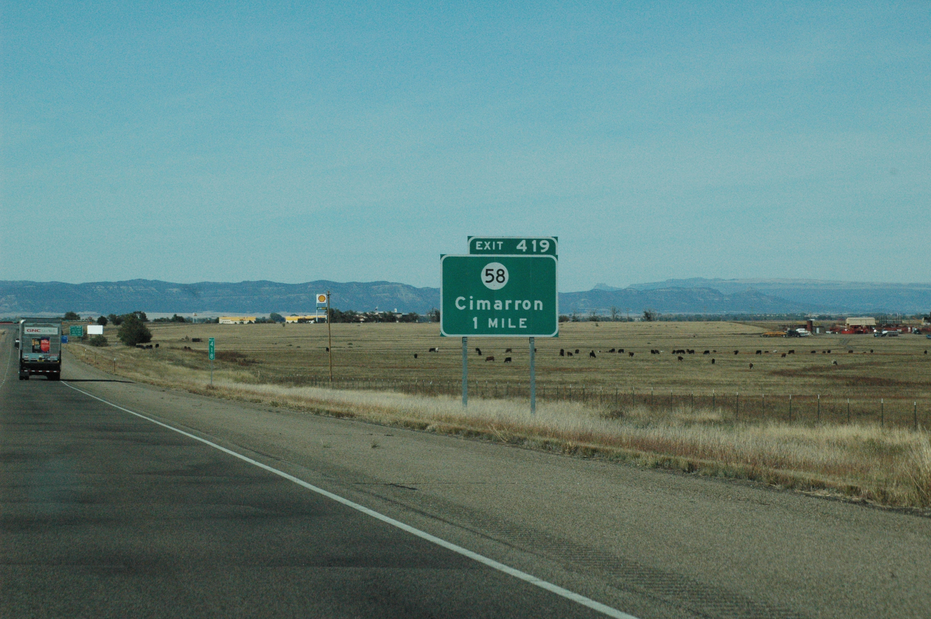
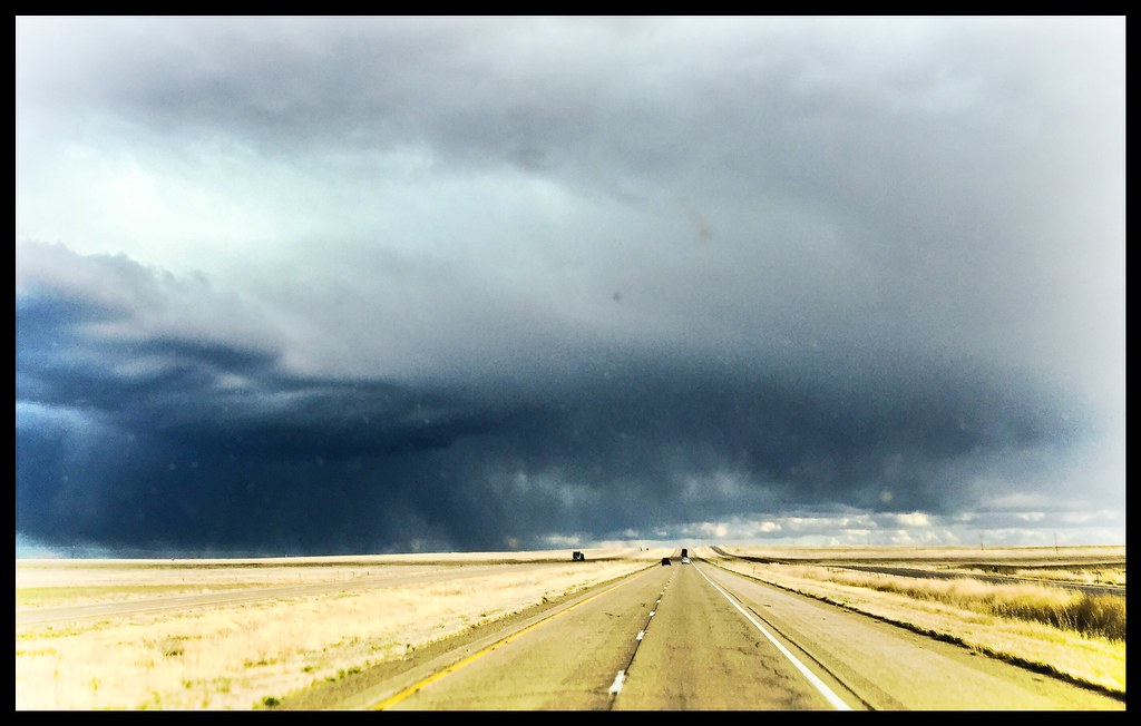
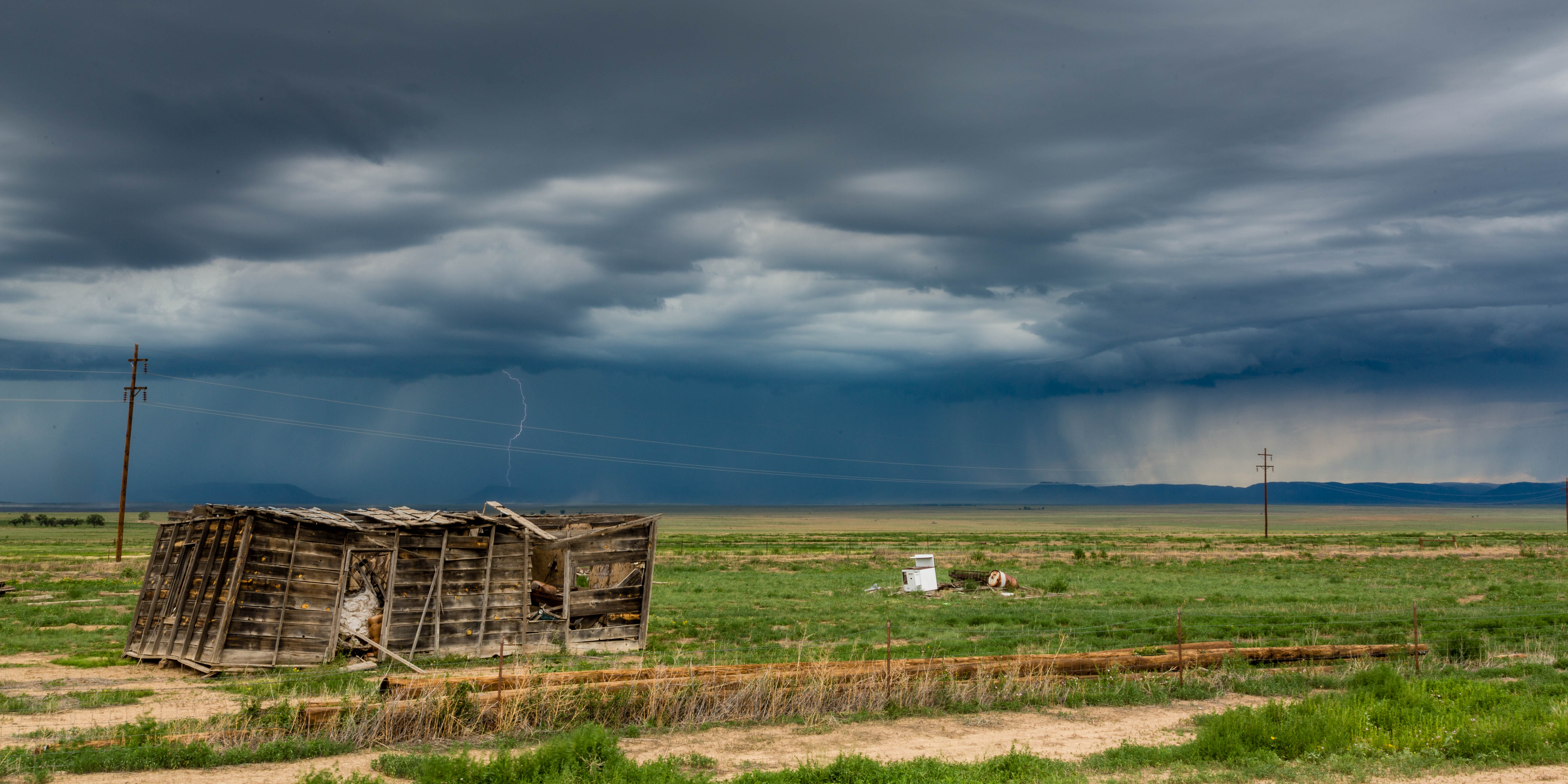
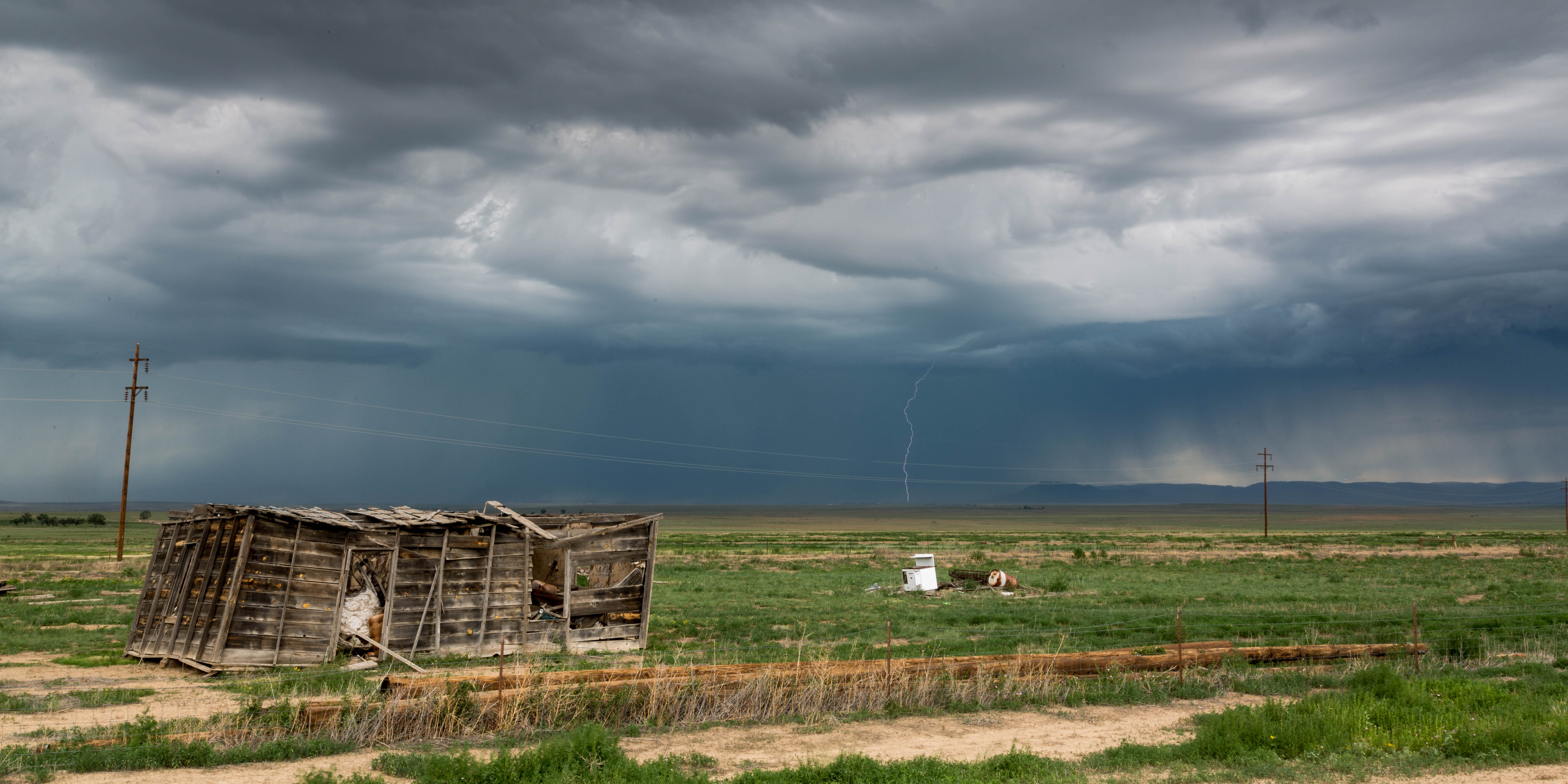
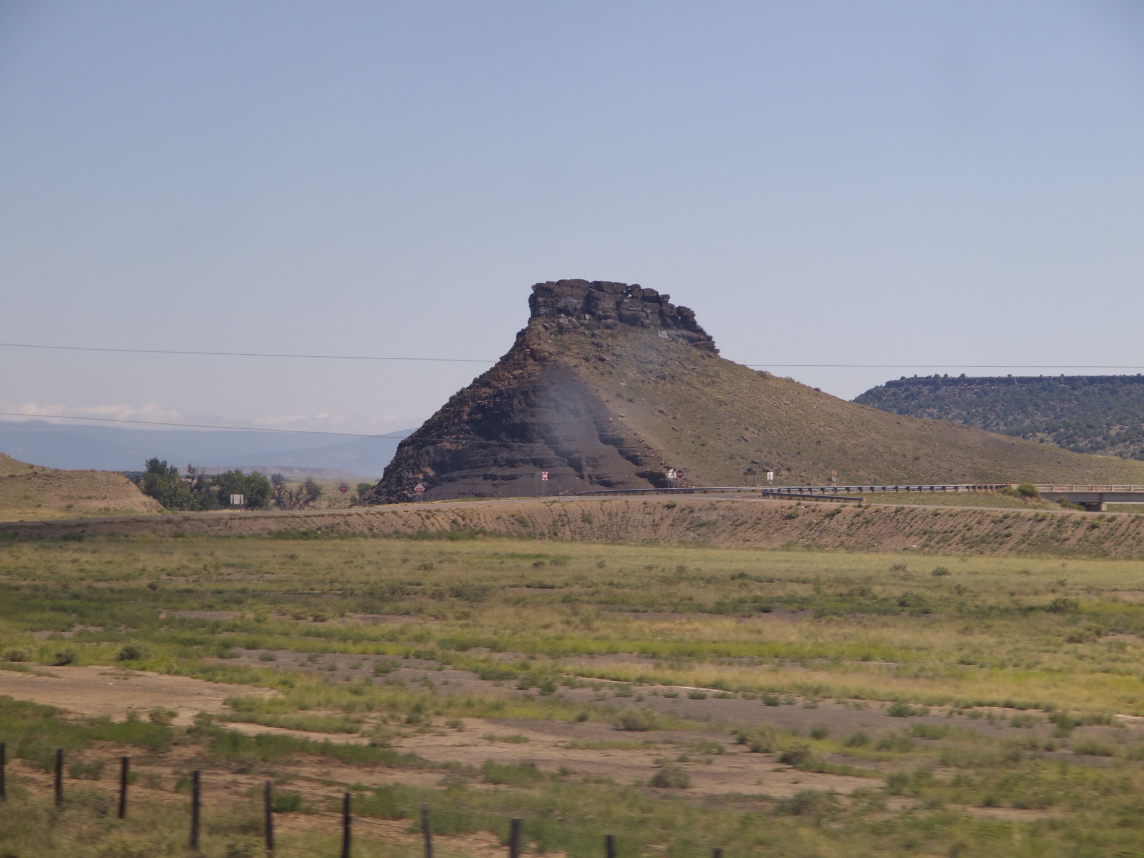
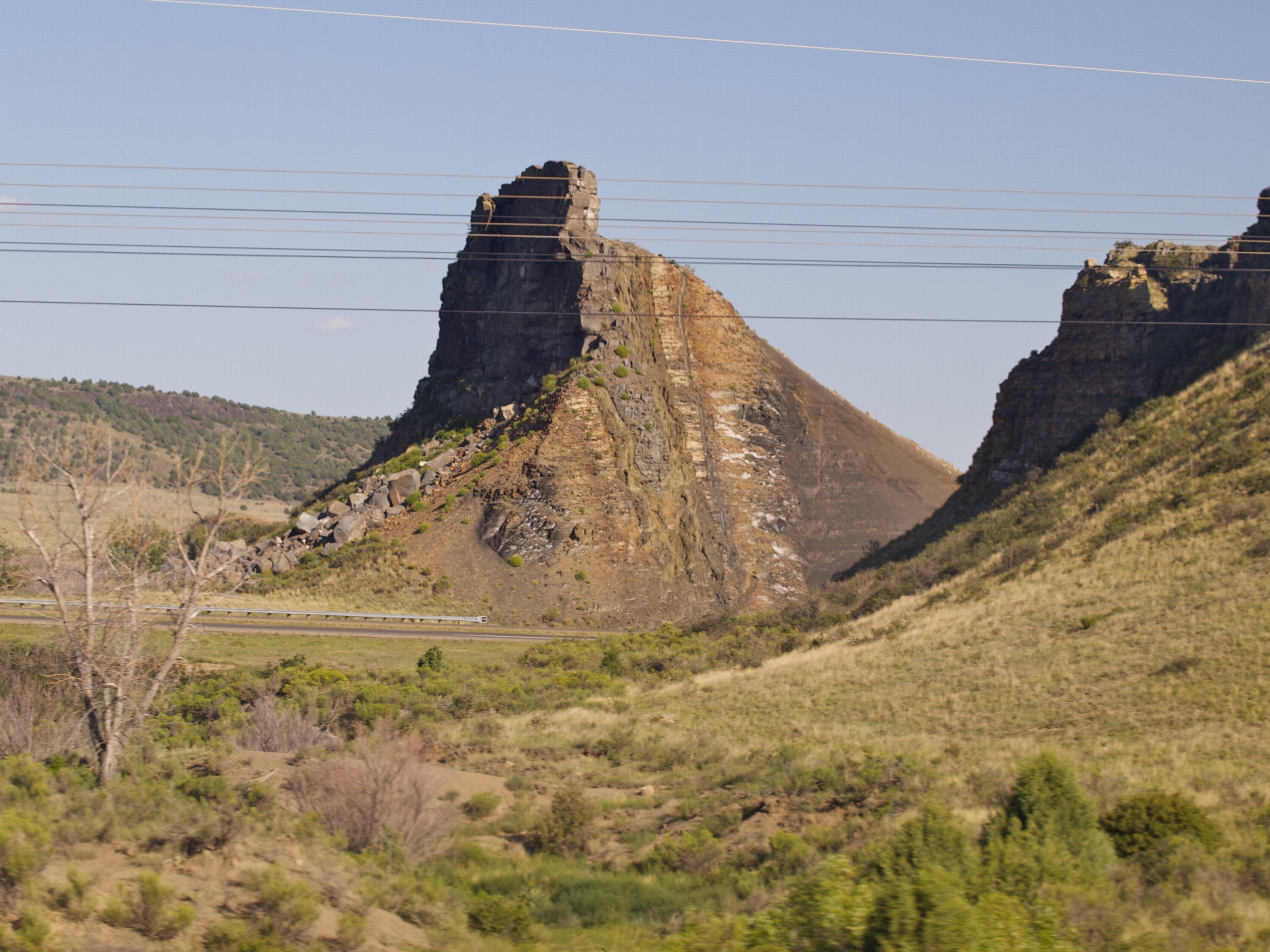
Views from Interstate 25 in northern New Mexico

590: My ML500 in New Mexico

Views from Interstate 25 in northern New Mexico
Views from Interstate 25 in northern New Mexico
Views from Interstate 25 in northern New Mexico
Views from Interstate 25 in northern New Mexico
Views from Interstate 25 in northern New Mexico
Views from Interstate 25 in northern New Mexico
Views from Interstate 25 in northern New Mexico
Views from Interstate 25 in northern New Mexico
Views from Interstate 25 in northern New Mexico
Views from Interstate 25 in northern New Mexico
Views from Interstate 25 in northern New Mexico
Views from Interstate 25 in northern New Mexico
IMG_1056-adj
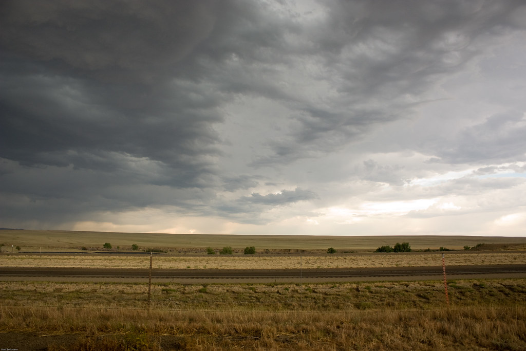
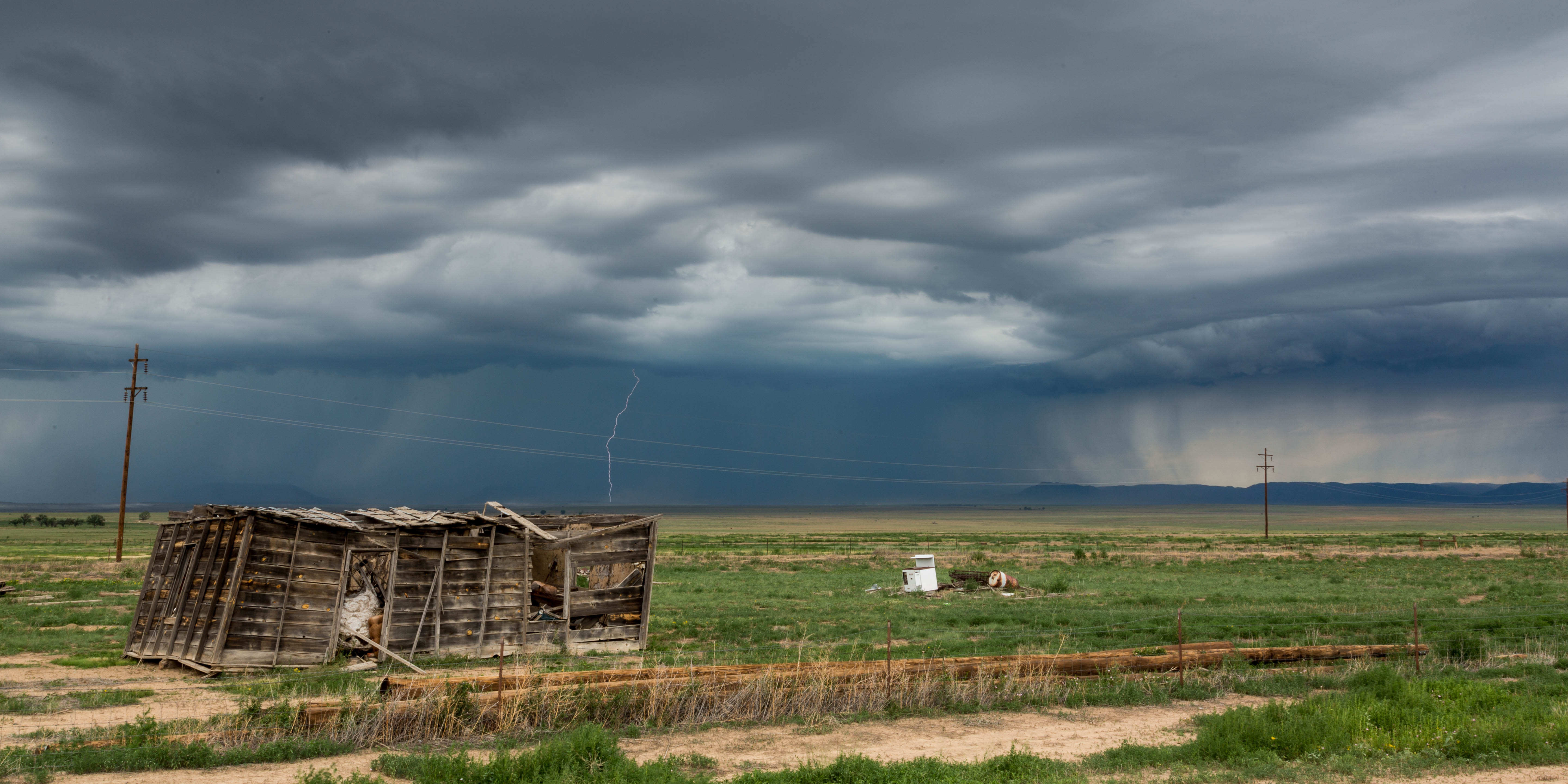
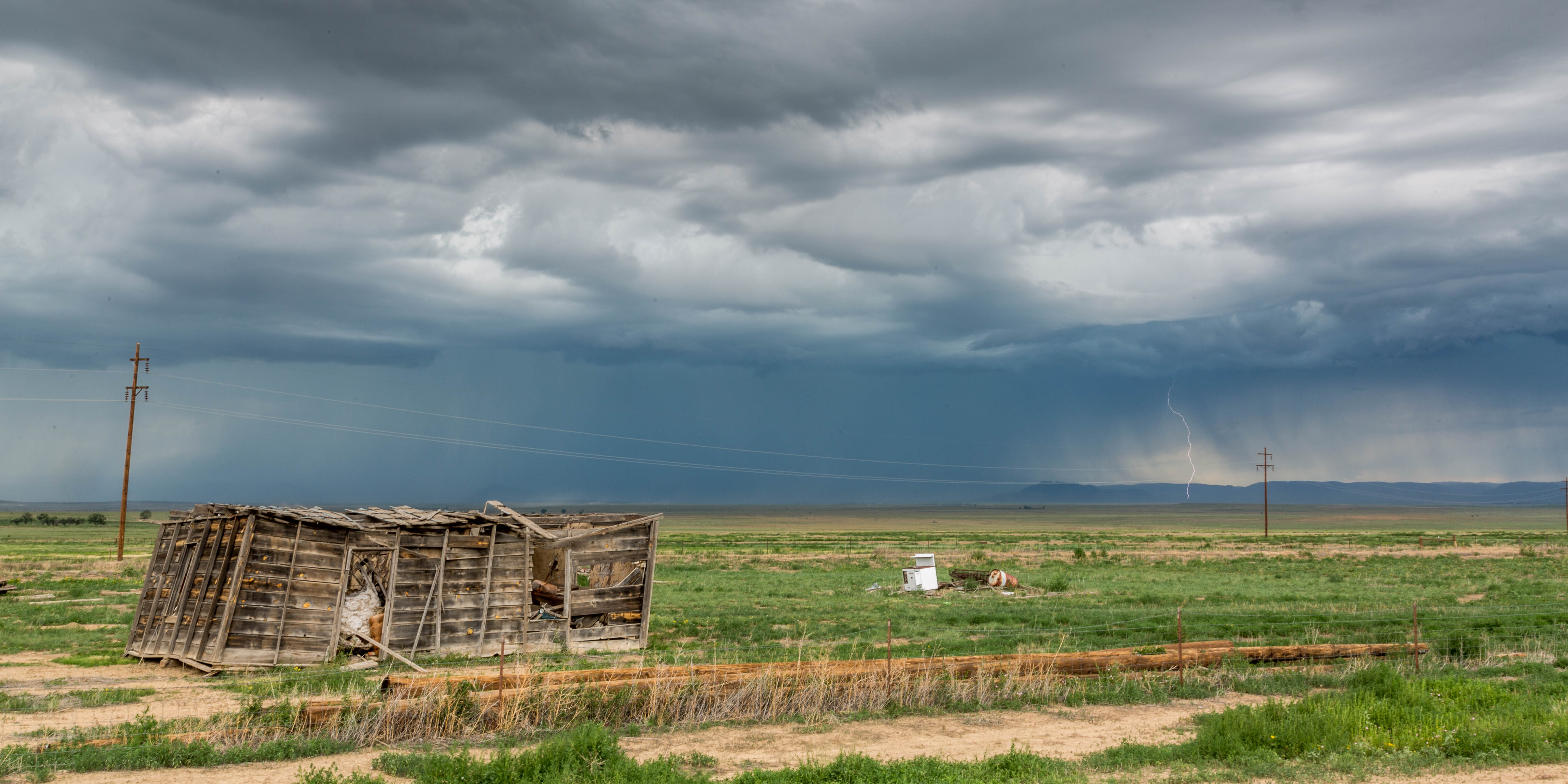
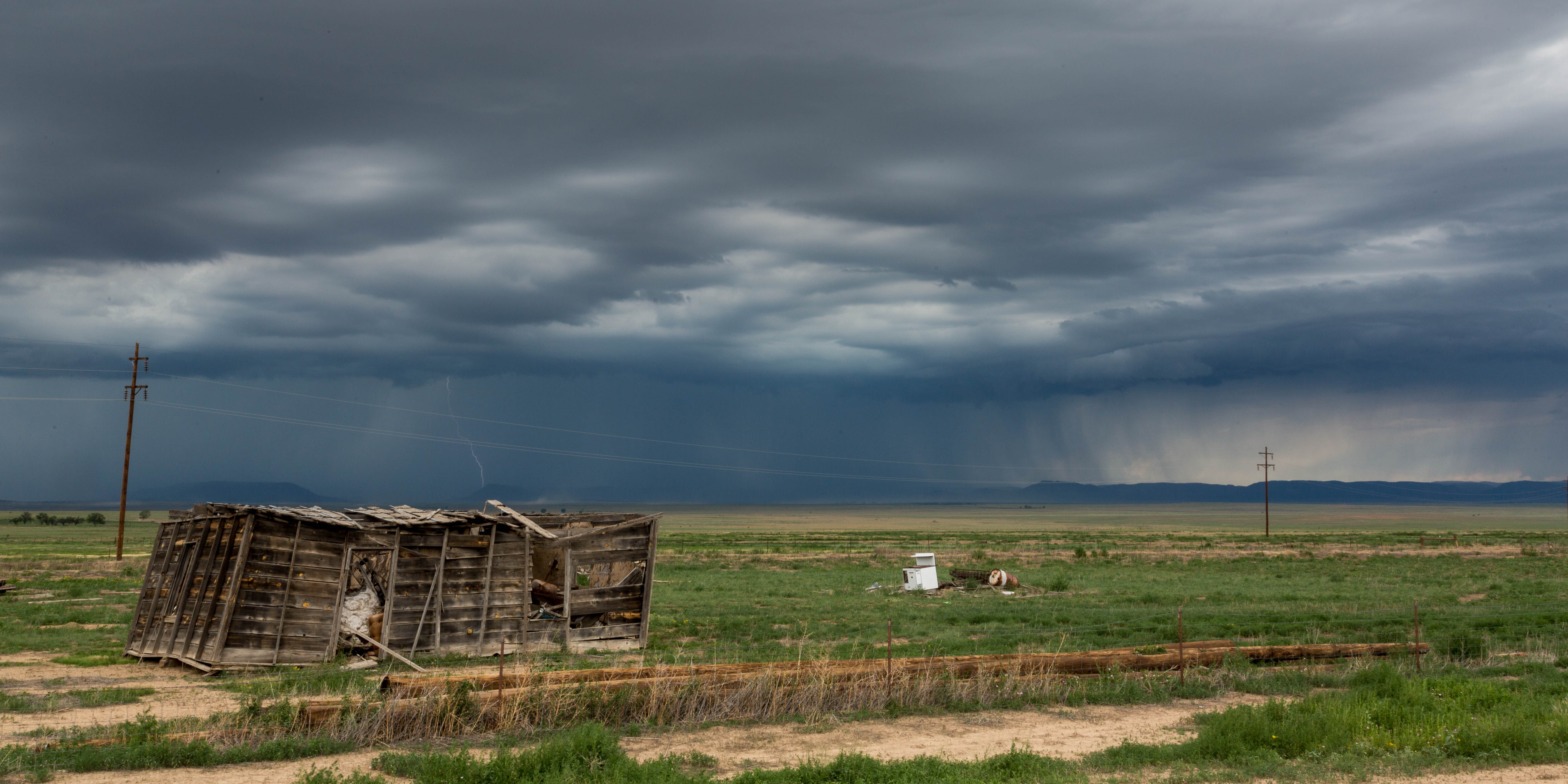
Storm Scape near Maxwell

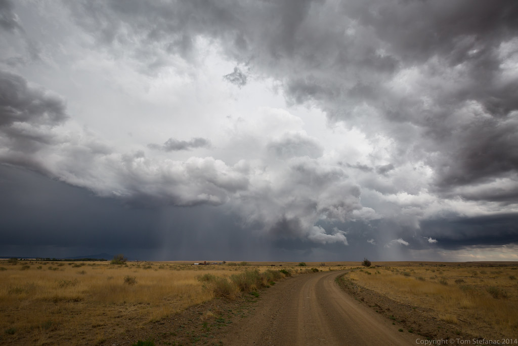
Brief Funnel Thingy
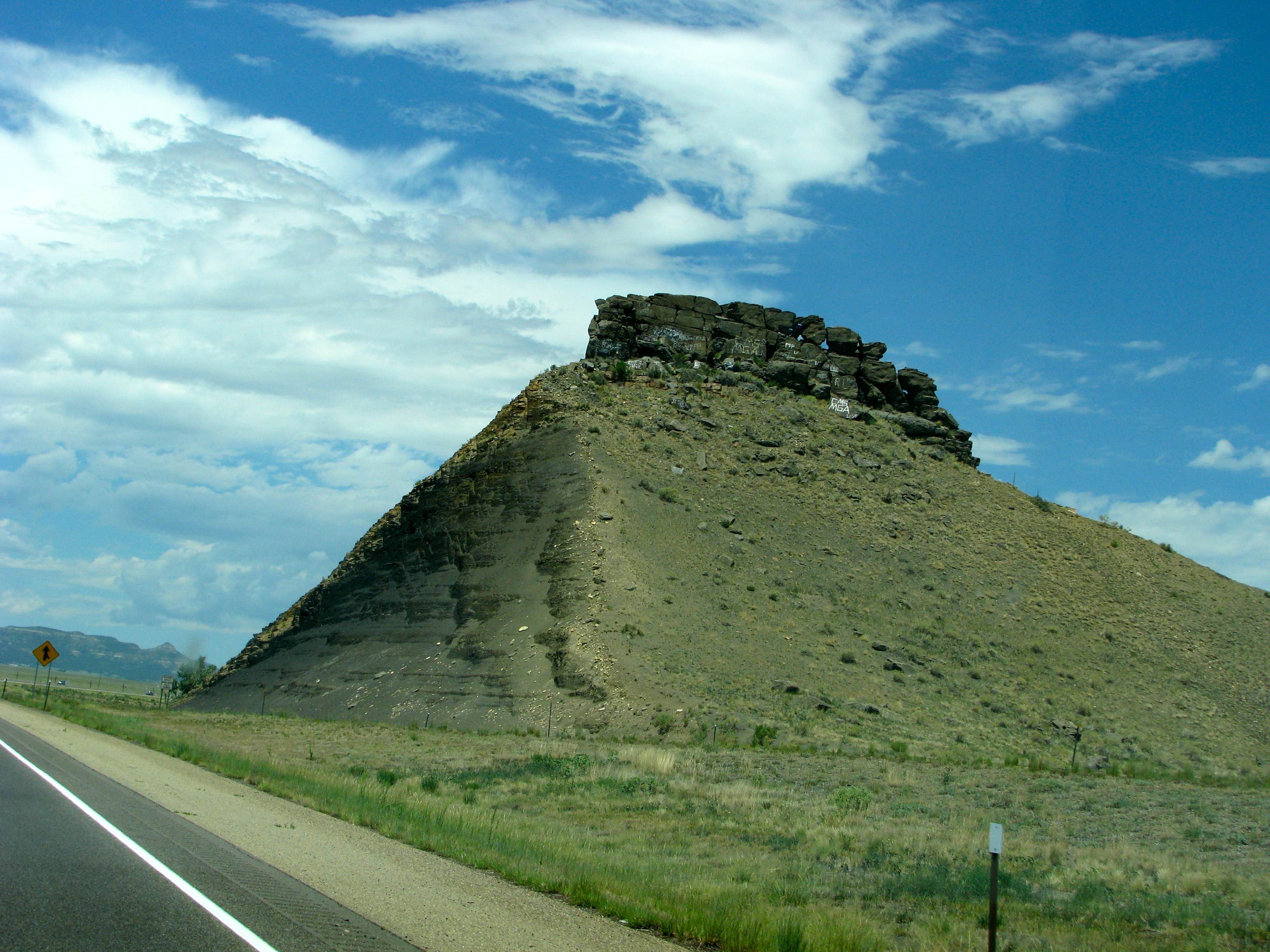
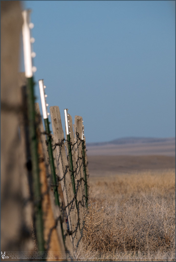
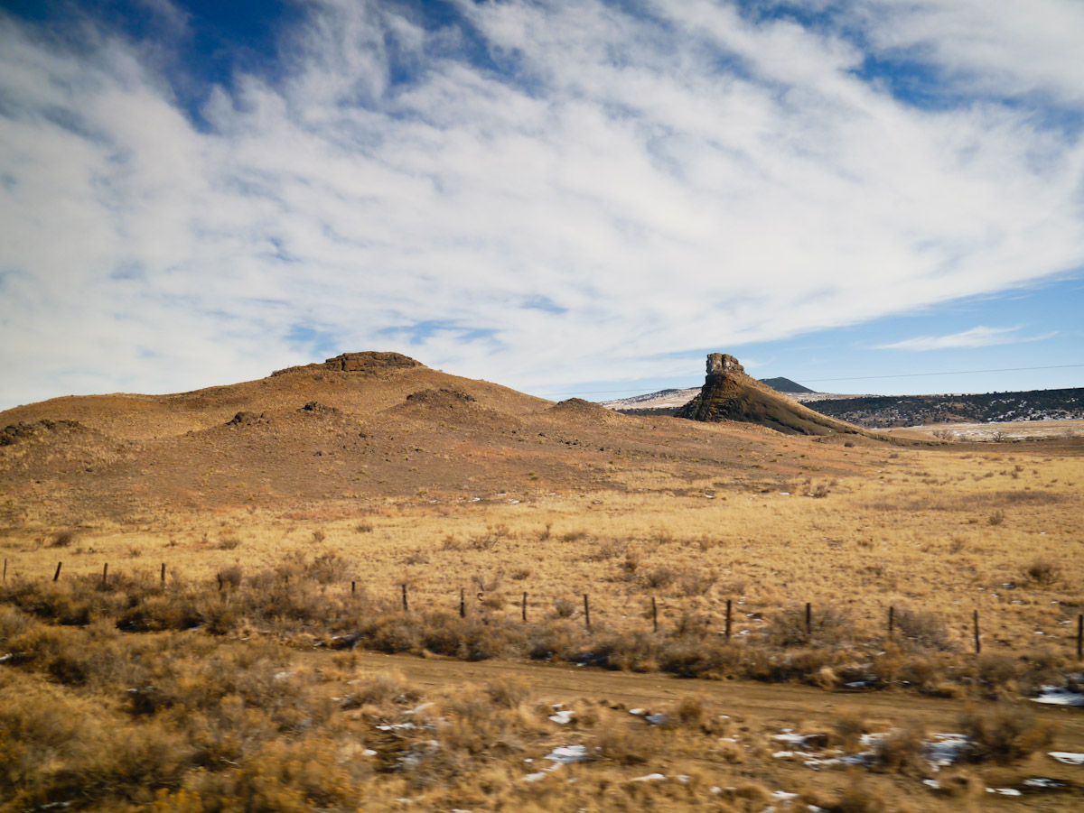
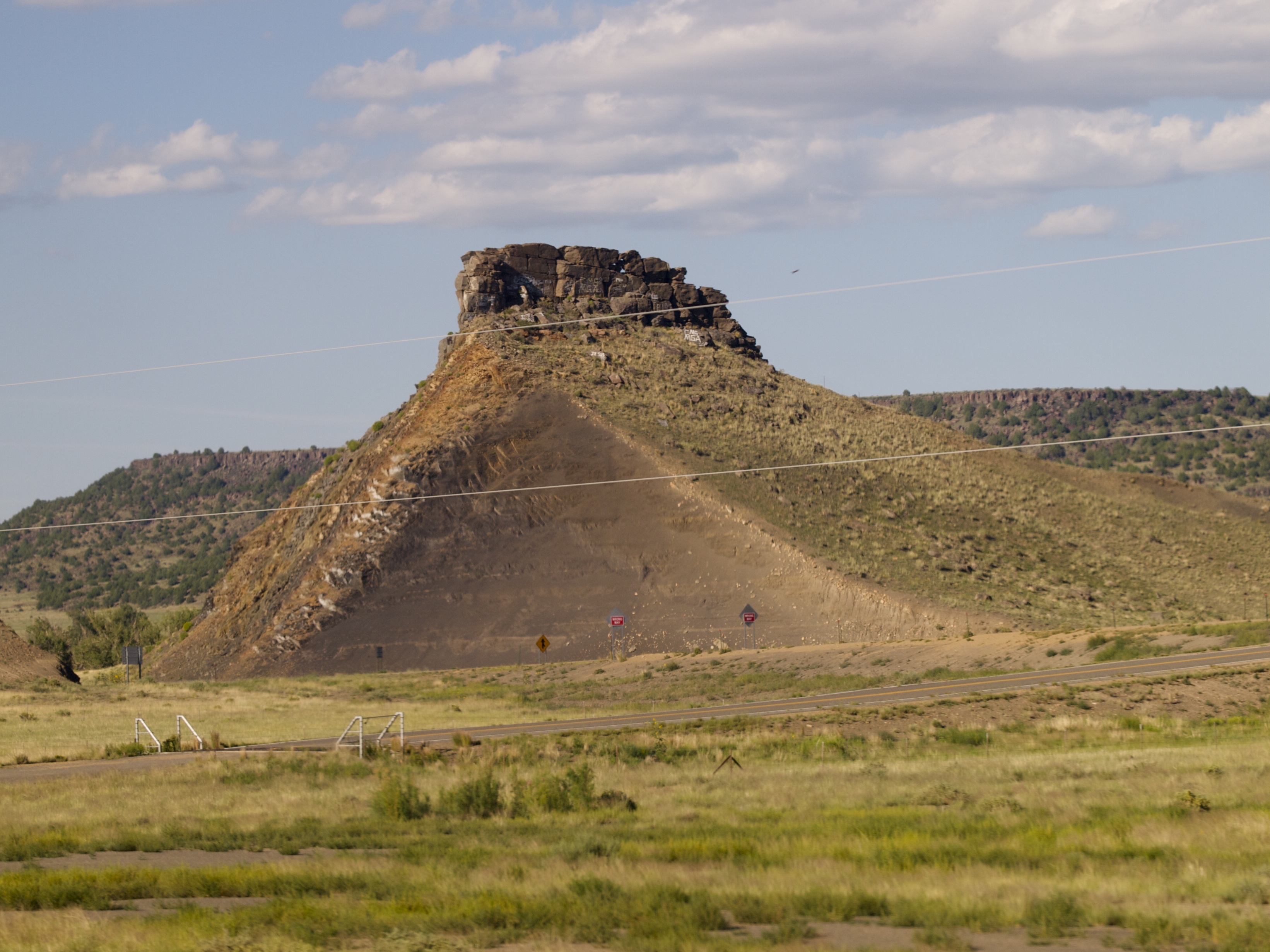
Lone Bluff
I-25 southbound
New Mexico-8606.jpg
New Mexico-8655.jpg
081009-13.14.06
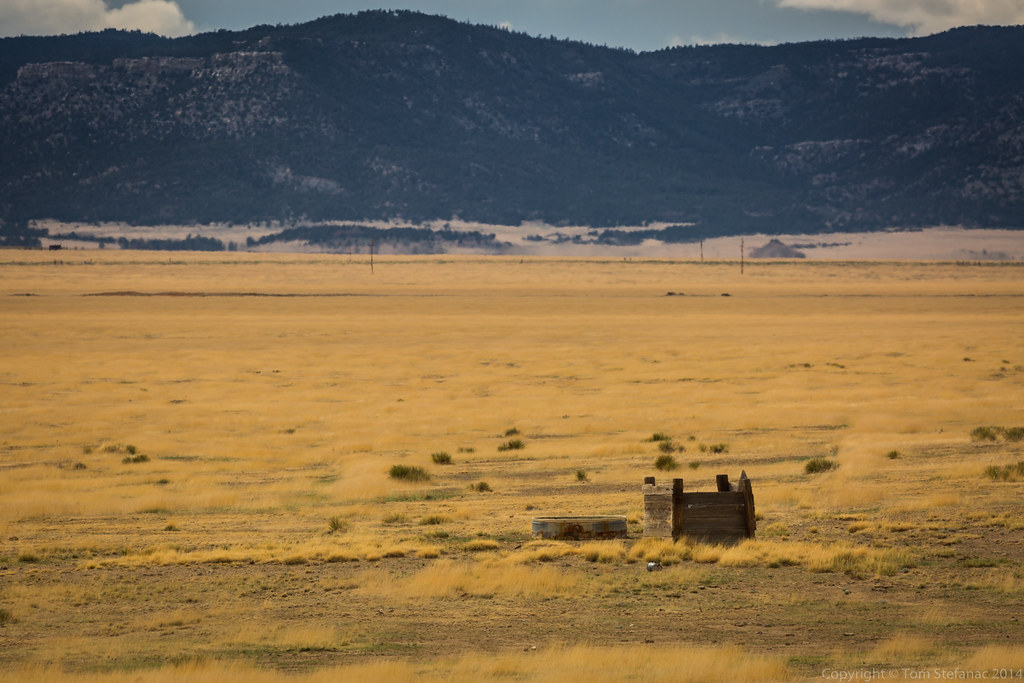
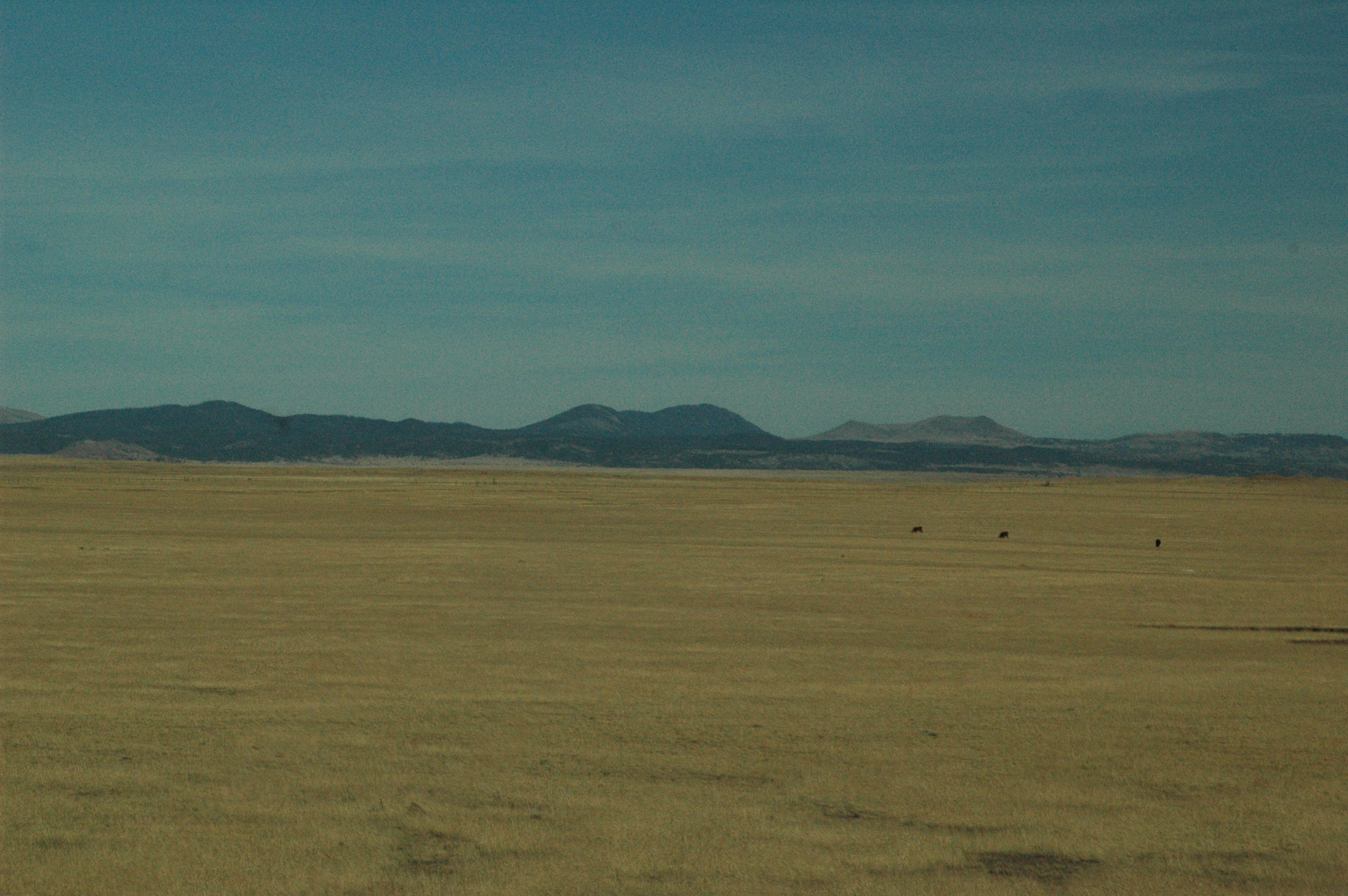
Grassland & Abandonment
New Mexico-8620.jpg
New Mexico-8654.jpg
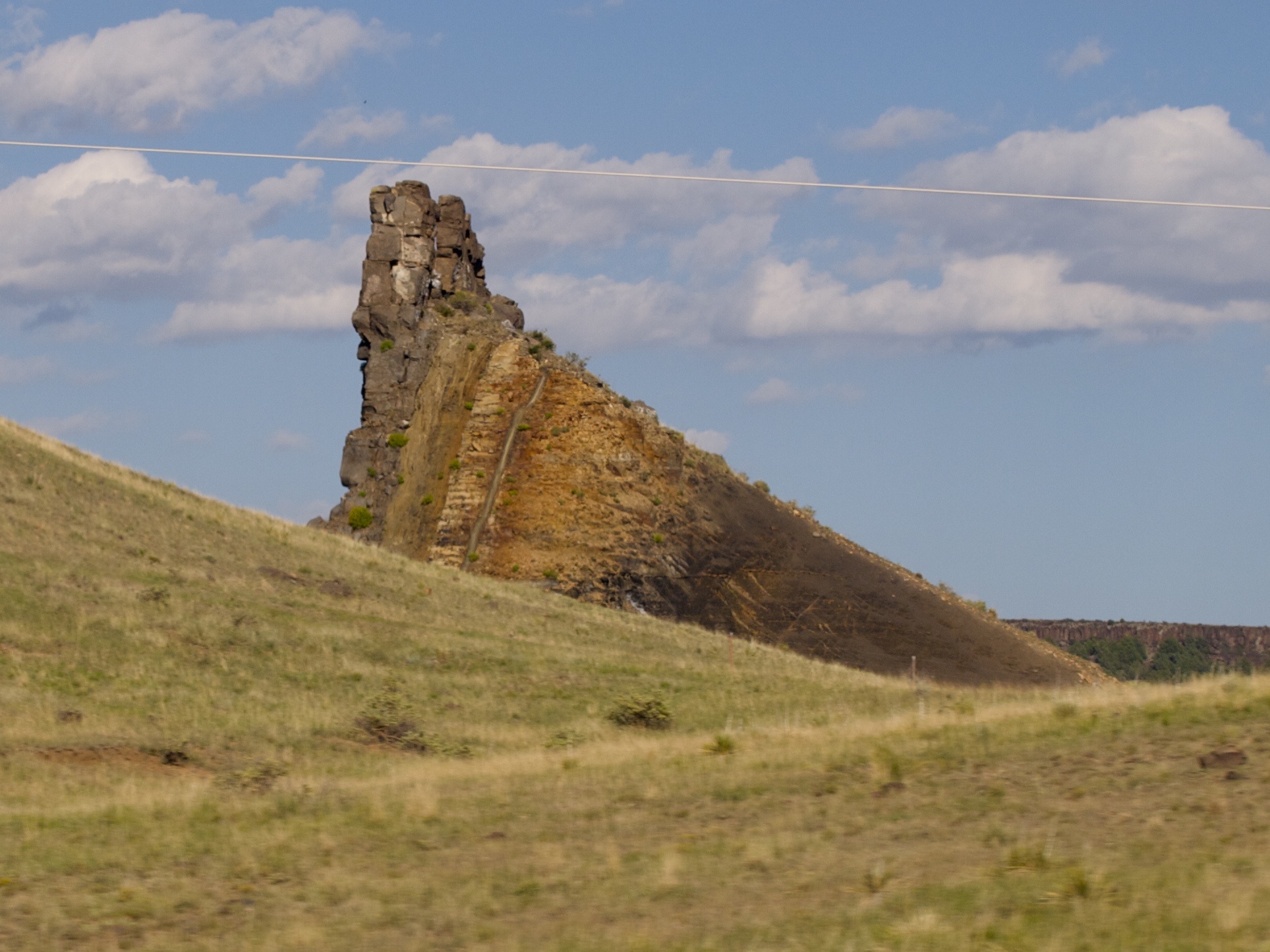
Tiny mesa countryside
New Mexico-8595.jpg
082009-19.16.21
082009-19.16.35

208. symbols
082009-19.16.42

Roadside Memorial I25 NM
Topographic Map of Maxwell, NM, USA
Find elevation by address:

Places in Maxwell, NM, USA:
Places near Maxwell, NM, USA:
NM-, Maxwell, NM, USA
Springer
Cimarron
Philmont Scout Ranch Bsa
17 Deer Run Rd
Philmont Scout Ranch
Mesa Urraca
Trail Peak
Black Mountain
Bear Mountain
Cimarroncito Peak
Ute Park
Cooks Peak
Halls Peak
Ocate
Tolby Peak
Aspen Hill
Garcia Peak
Green Mountain
Agua Fria Peak
Recent Searches:
- Elevation of Corso Fratelli Cairoli, 35, Macerata MC, Italy
- Elevation of Tallevast Rd, Sarasota, FL, USA
- Elevation of 4th St E, Sonoma, CA, USA
- Elevation of Black Hollow Rd, Pennsdale, PA, USA
- Elevation of Oakland Ave, Williamsport, PA, USA
- Elevation of Pedrógão Grande, Portugal
- Elevation of Klee Dr, Martinsburg, WV, USA
- Elevation of Via Roma, Pieranica CR, Italy
- Elevation of Tavkvetili Mountain, Georgia
- Elevation of Hartfords Bluff Cir, Mt Pleasant, SC, USA