Elevation of Mata - RS, Brazil
Location: Brazil > State Of Rio Grande Do Sul >
Longitude: -54.456103
Latitude: -29.525727
Elevation: 162m / 531feet
Barometric Pressure: 99KPa
Elevation Map:
Satellite Map:
Related Photos:

Mata-RS - Fóssil vegetal - era mesozóica

Old train station (Mata-RS)

Fóssil vegetal - era mesozóica
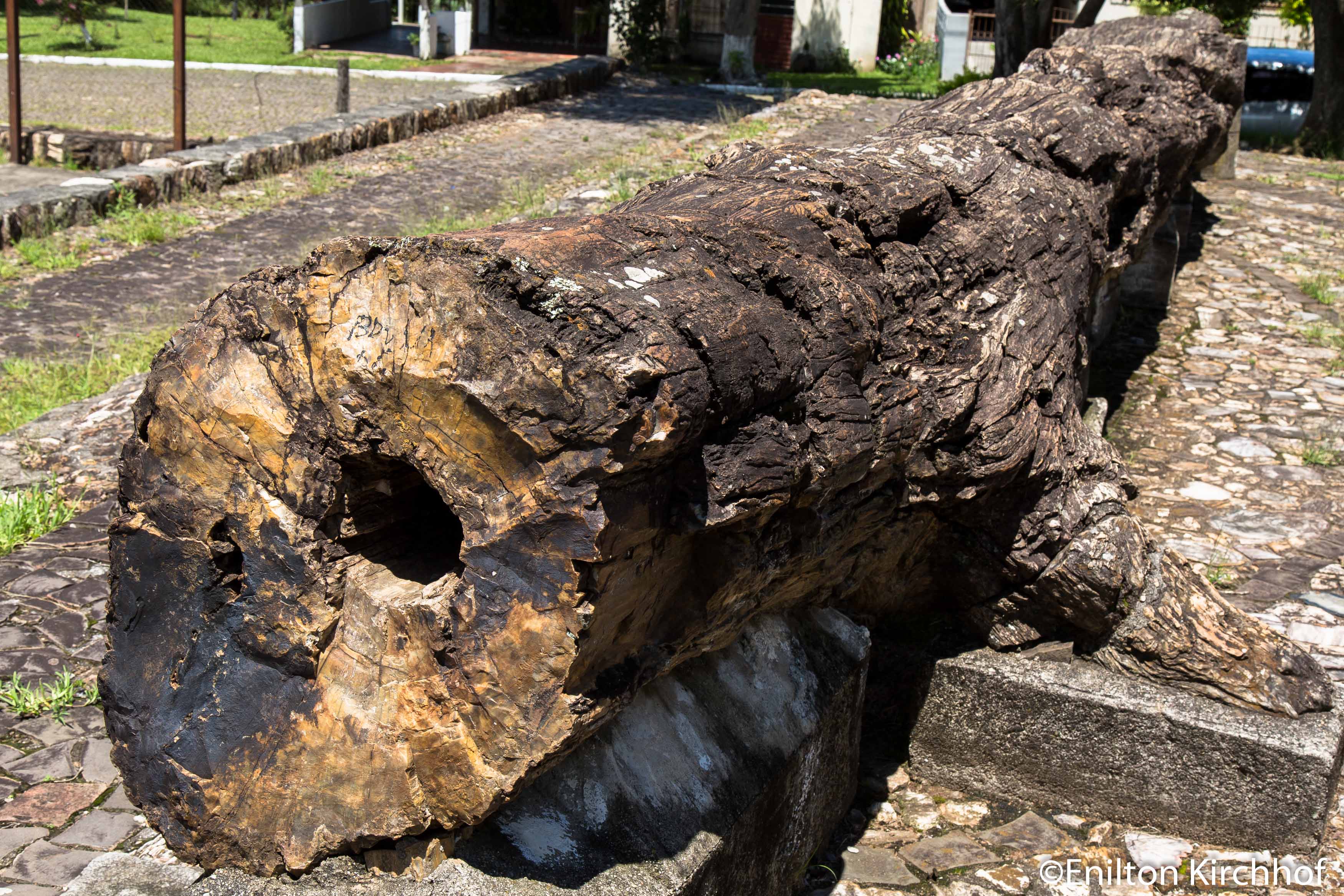
Fóssil vegetal - era mesozóica

Fóssil vegetal - era mesozóica

petrificado (árboles de piedra)
Topographic Map of Mata - RS, Brazil
Find elevation by address:

Places in Mata - RS, Brazil:
Recent Searches:
- Elevation of 24 Oakland Rd #, Scotland, ON N0E 1R0, Canada
- Elevation of Deep Gap Farm Rd E, Mill Spring, NC, USA
- Elevation of Dog Leg Dr, Minden, NV, USA
- Elevation of Dog Leg Dr, Minden, NV, USA
- Elevation of Kambingan Sa Pansol Atbp., Purok 7 Pansol, Candaba, Pampanga, Philippines
- Elevation of Pinewood Dr, New Bern, NC, USA
- Elevation of Mountain View, CA, USA
- Elevation of Foligno, Province of Perugia, Italy
- Elevation of Blauwestad, Netherlands
- Elevation of Bella Terra Blvd, Estero, FL, USA