Elevation of Masuda, Shimane Prefecture, Japan
Location: Japan > Shimane Prefecture >
Longitude: 131.842862
Latitude: 34.6748172
Elevation: 7m / 23feet
Barometric Pressure: 101KPa
Elevation Map:
Satellite Map:
Related Photos:
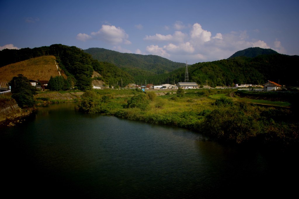
A View from the Bridge

蟠竜湖
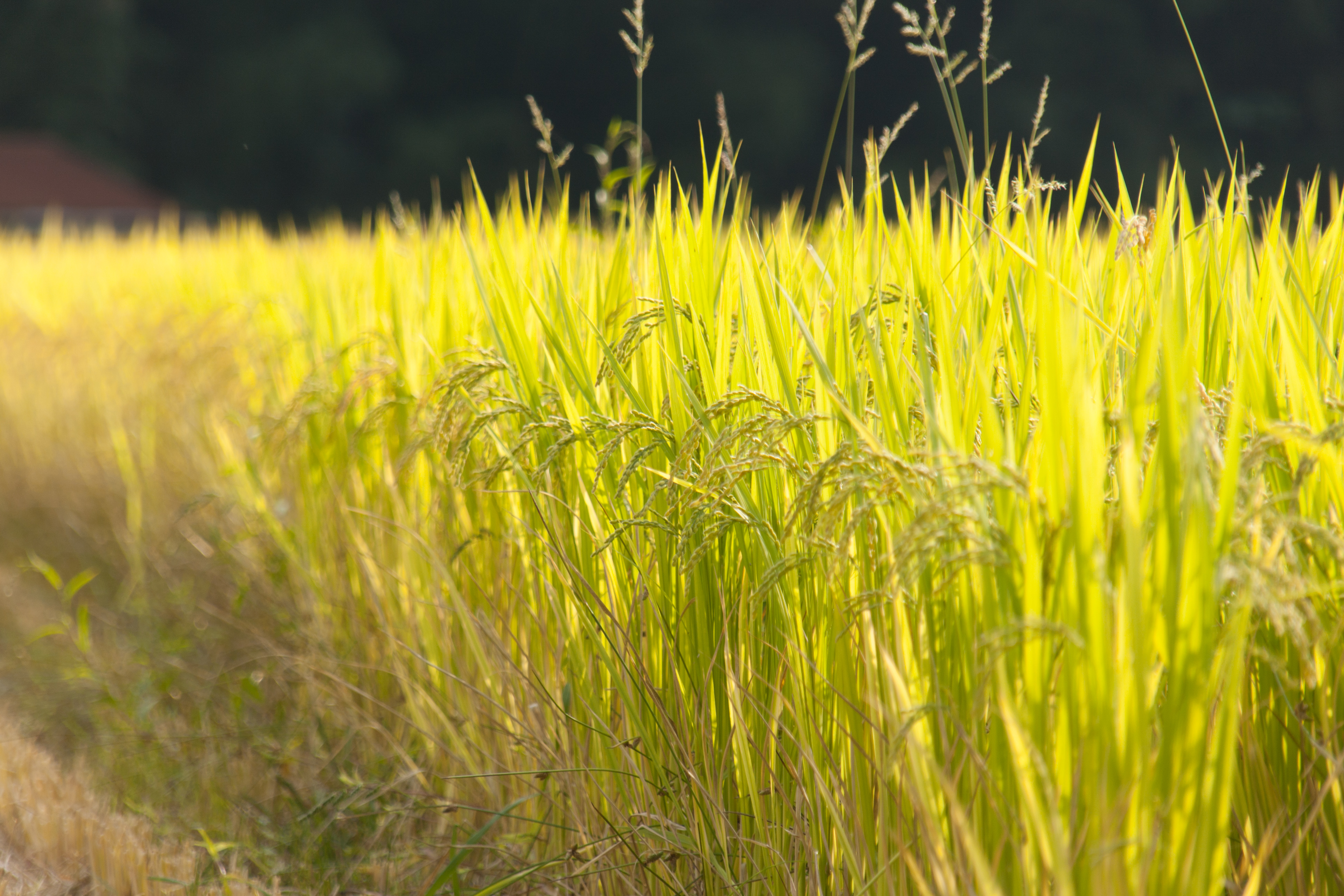
Masago district

Masago district
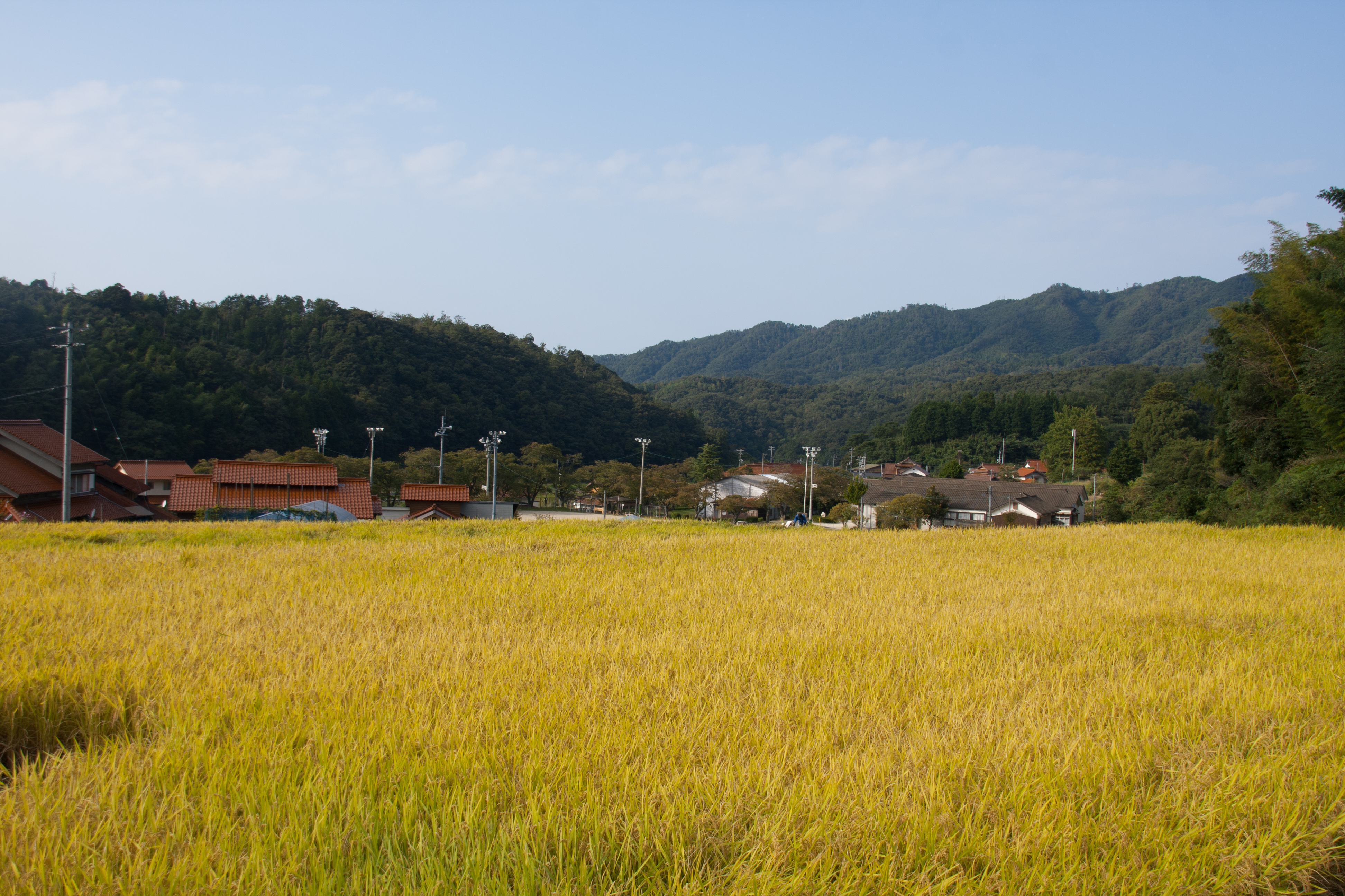
Masago district
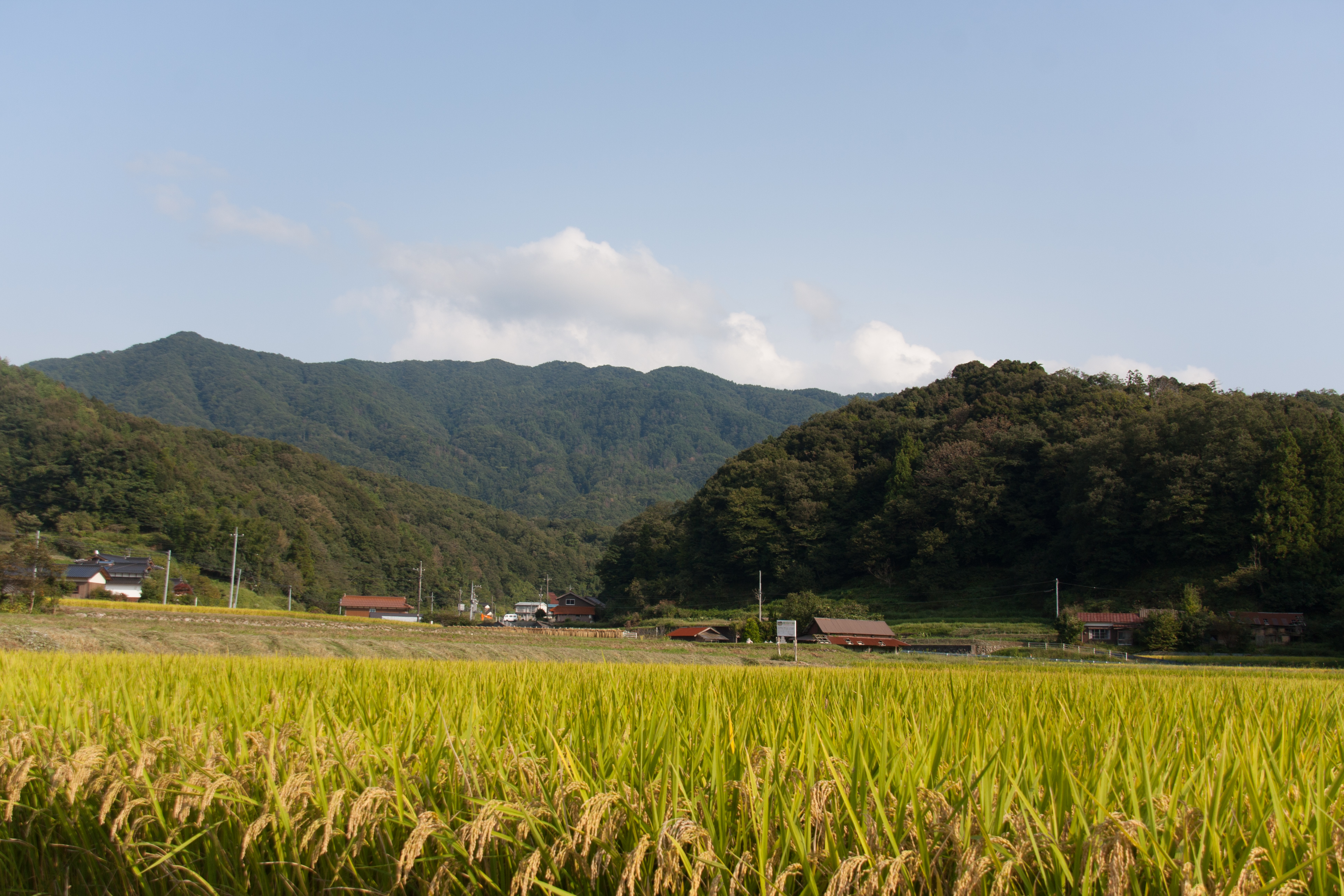
Masago district

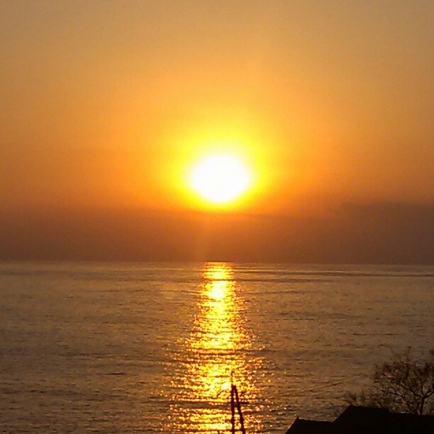
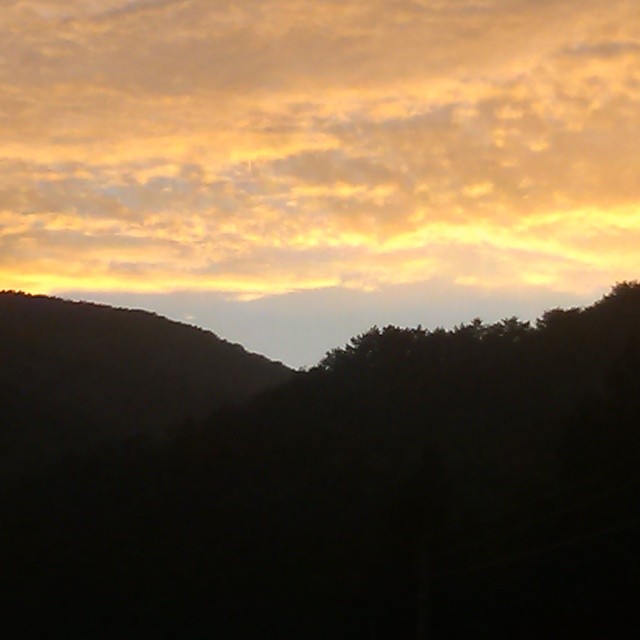
runway and sunset

small wild flower by the sea
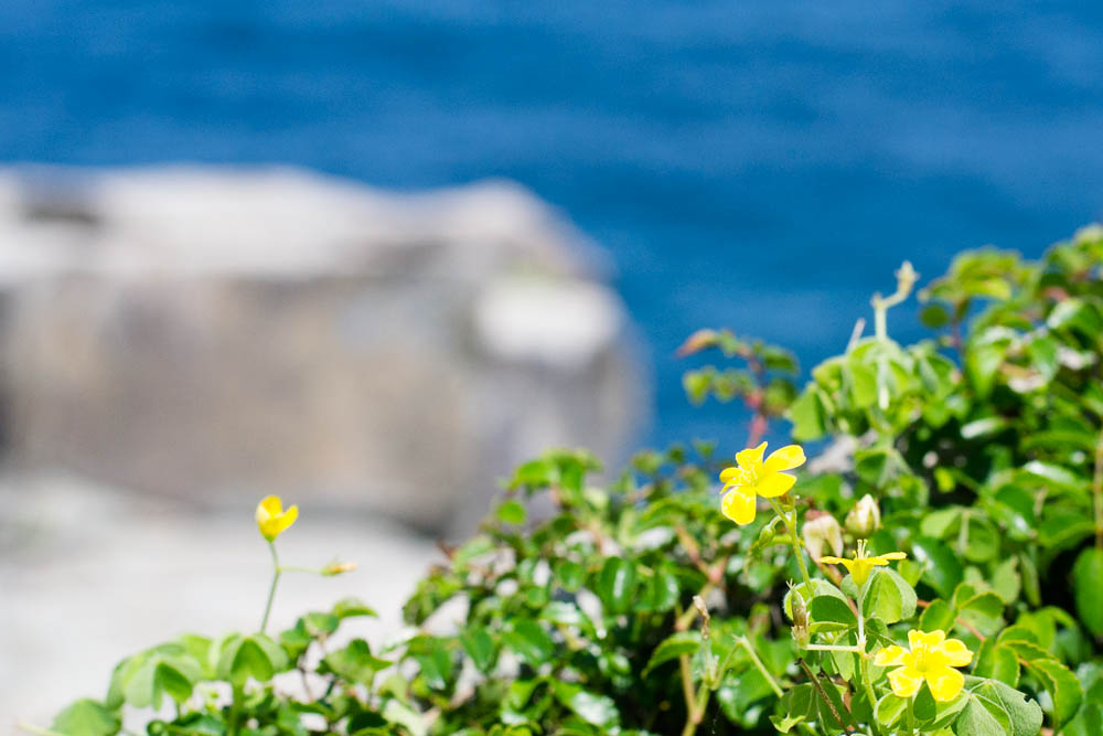
small wild flower by the sea

海、見てかぁ~えろ! 春ん海じゃァ! 久し振りじゃの?
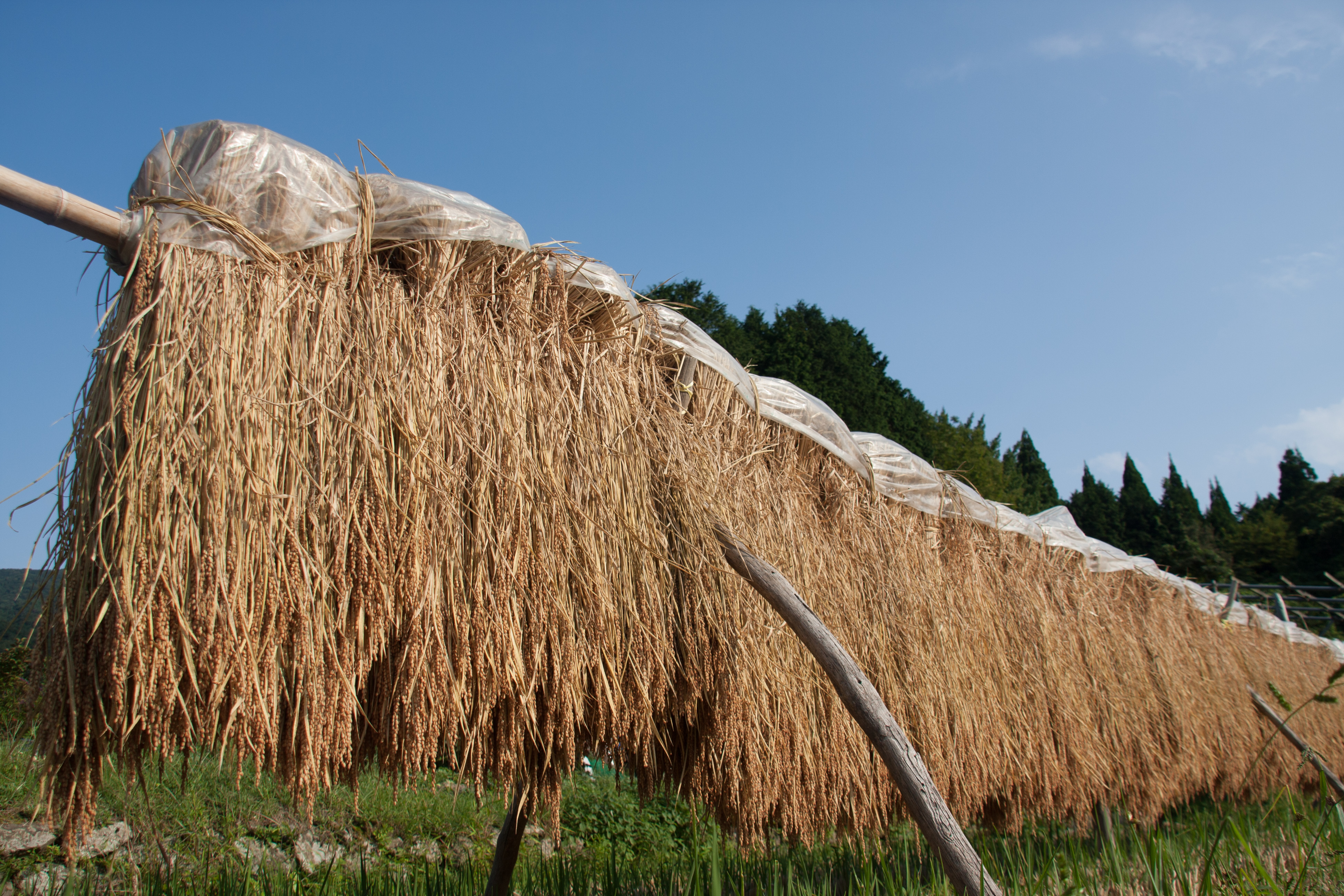
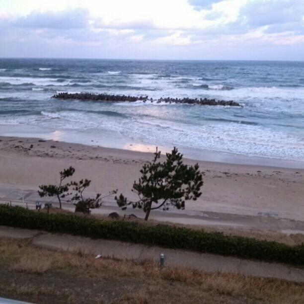
Masago district
Masago district
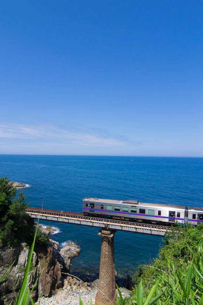
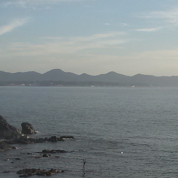
Train and Blue Ocean
日本海 今日は、比較的気候も温暖だった。 ここの海は、タイミングが良けりゃ、イルカの群れが見られるんだって!
d110205002 - バージョン 3

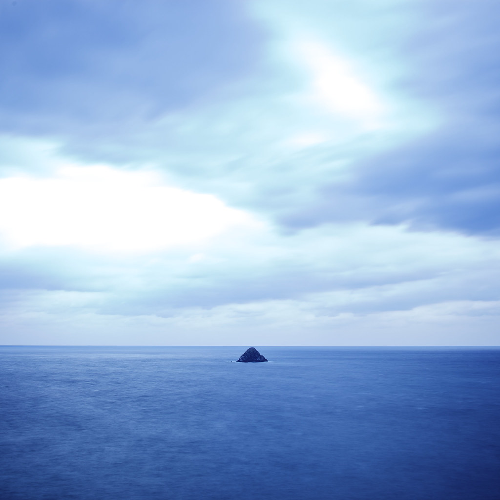
2012 夏 日本海

今日の夕焼け。久し振りに写しました。
今日は晴れましたなぁ~! 久し振りの夕焼けです。
家まで帰って!
広島帰りの芸北の夕暮れ。 明日は、晴れそうじゃ!
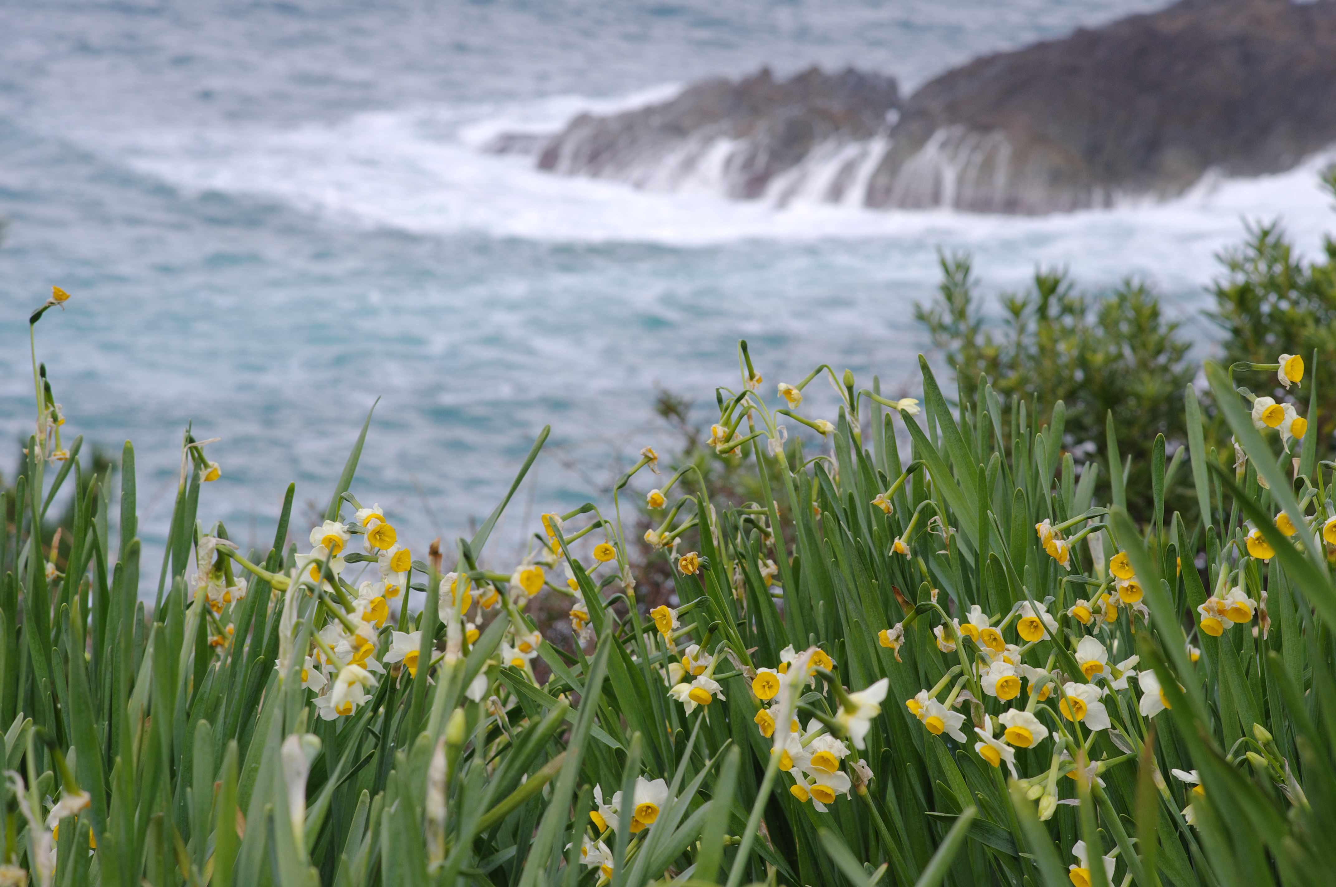
スイセンと海
9号線の側から、191号線の方を眺めてみる。夏の海です。今日は凪いでる。日本海なんだけどね!
Topographic Map of Masuda, Shimane Prefecture, Japan
Find elevation by address:

Places near Masuda, Shimane Prefecture, Japan:
6-26 Miyakechō
リーブ三宅Ⅱ
54-6 Nichihara, Tsuwano-chō, Kanoashi-gun, Shimane-ken -, Japan
Sabumi, Tsuwano-chō, Kanoashi-gun, Shimane-ken -, Japan
Tadachi, Tsuwano-chō, Kanoashi-gun, Shimane-ken -, Japan
Kakinokimura Shimosu, Yoshika-chō, Kanoashi-gun, Shimane-ken -, Japan
Kanoashi District
Tsuwano
85 Kakinokimura Shiratani, Yoshika-chō, Kanoashi-gun, Shimane-ken -, Japan
Kakinokimura Fukugawa, Yoshika-chō, Kanoashi-gun, Shimane-ken -, Japan
Kakinokimura Kibedani, Yoshika-chō, Kanoashi-gun, Shimane-ken -, Japan
Yoshika
Kakinokimura Fukugawa, Yoshika-chō, Kanoashi-gun, Shimane-ken -, Japan
Kakinokimura Kakinoki, Yoshika-chō, Kanoashi-gun, Shimane-ken -, Japan
Kakinokimura Ōnobara, Yoshika-chō, Kanoashi-gun, Shimane-ken -, Japan
Kakinokimura Fukugawa, Yoshika-chō, Kanoashi-gun, Shimane-ken -, Japan
Kakinokimura Fukugawa, Yoshika-chō, Kanoashi-gun, Shimane-ken -, Japan
Kakinokimura Kibedani, Yoshika-chō, Kanoashi-gun, Shimane-ken -, Japan
Kamitakajiri, Yoshika-chō, Kanoashi-gun, Shimane-ken -, Japan
Kamitakajiri, Yoshika-chō, Kanoashi-gun, Shimane-ken -, Japan
Recent Searches:
- Elevation of Warwick, RI, USA
- Elevation of Fern Rd, Whitmore, CA, USA
- Elevation of 62 Abbey St, Marshfield, MA, USA
- Elevation of Fernwood, Bradenton, FL, USA
- Elevation of Felindre, Swansea SA5 7LU, UK
- Elevation of Leyte Industrial Development Estate, Isabel, Leyte, Philippines
- Elevation of W Granada St, Tampa, FL, USA
- Elevation of Pykes Down, Ivybridge PL21 0BY, UK
- Elevation of Jalan Senandin, Lutong, Miri, Sarawak, Malaysia
- Elevation of Bilohirs'k