Elevation of Martell, NE, USA
Location: United States > Nebraska > Lancaster County > Centerville >
Longitude: -96.758632
Latitude: 40.6375021
Elevation: 406m / 1332feet
Barometric Pressure: 97KPa
Elevation Map:
Satellite Map:
Related Photos:

'Tis the season...

The unlovely side of bird tagging
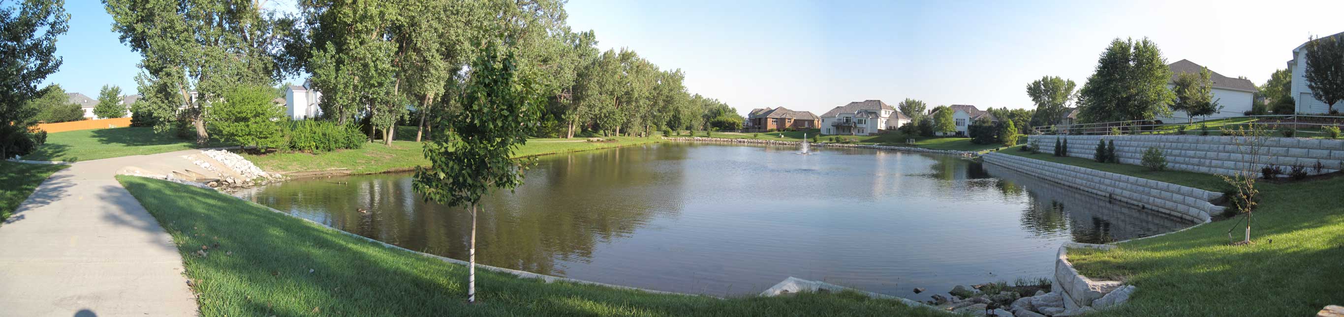
Williamsburg_at_Pine_Lake_Rd_N_View.jpg
Too many clouds tonight in Lincoln to view the partial solar eclipse...however the clouds made the sunset one for the ages!! #sunset #lnk #Nebraska #Canon #Canon5dmarkii #solareclipse #landscape #clouds
Come walk with me...

Large milkweed bug

Jewel of the Morning

Title: "PhotoFest ID #18: Points Of View"

Chickweed geometer
Snowmageddon 2013
long_view-RGB

Self Portrait

Robber fly

Headlit Pitch, September, 2010
Douglass Family Farm via "Google Maps"
Filtered Sky

"Google Maps - Street View" reaches the farm?!
Pearl crescent
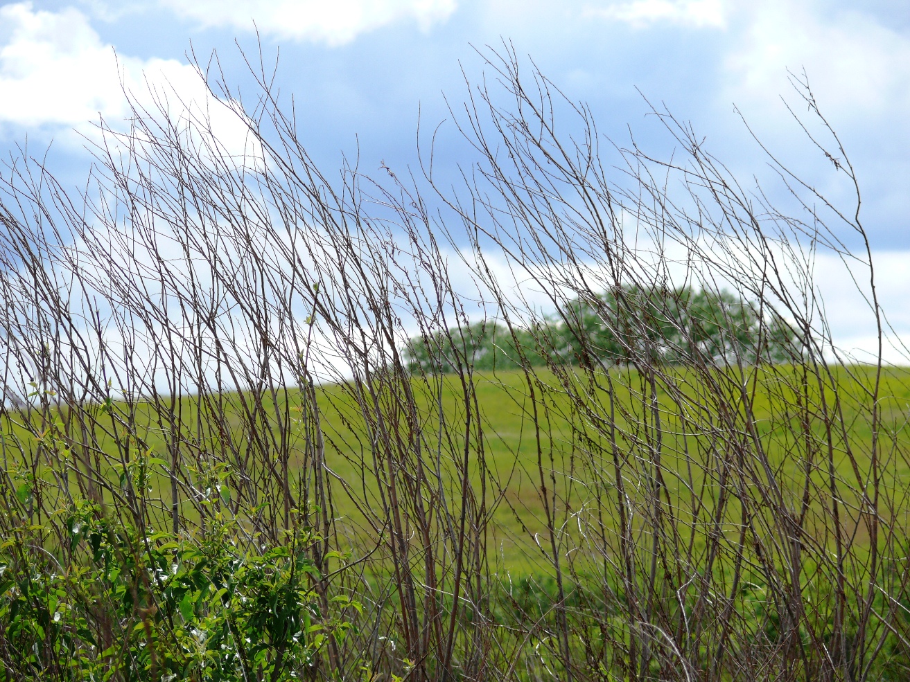
Obstructed View
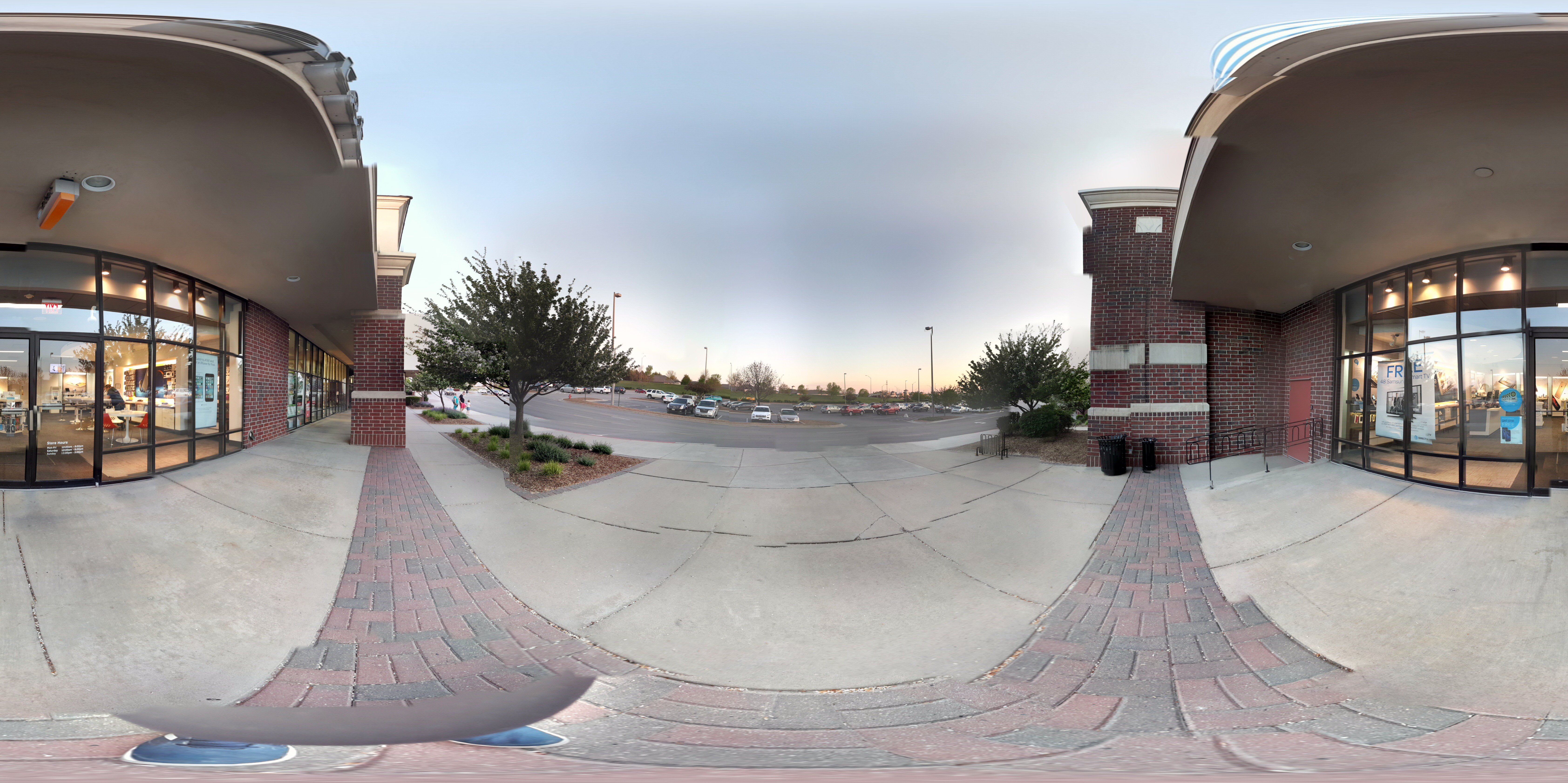
My first attempt at a 360 photo

Male Spotted towhee

Desiree Newlin
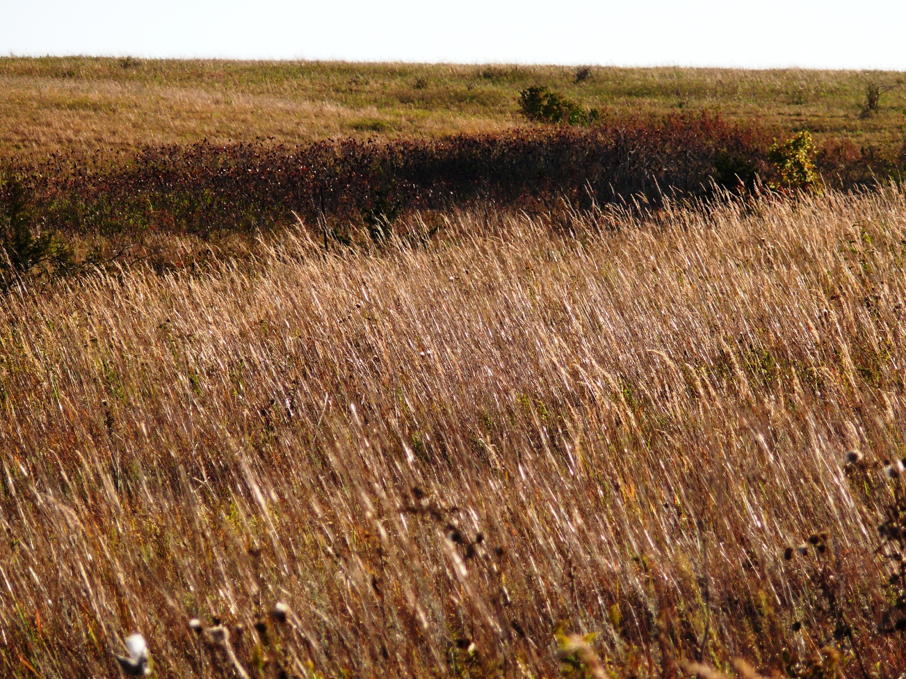
Brown Grass
Tuziw, Mike

Cold day for a ride, but I'll take what I can get. #wildernesspark #bicycletherapy #karatemonkey

icy sunrise
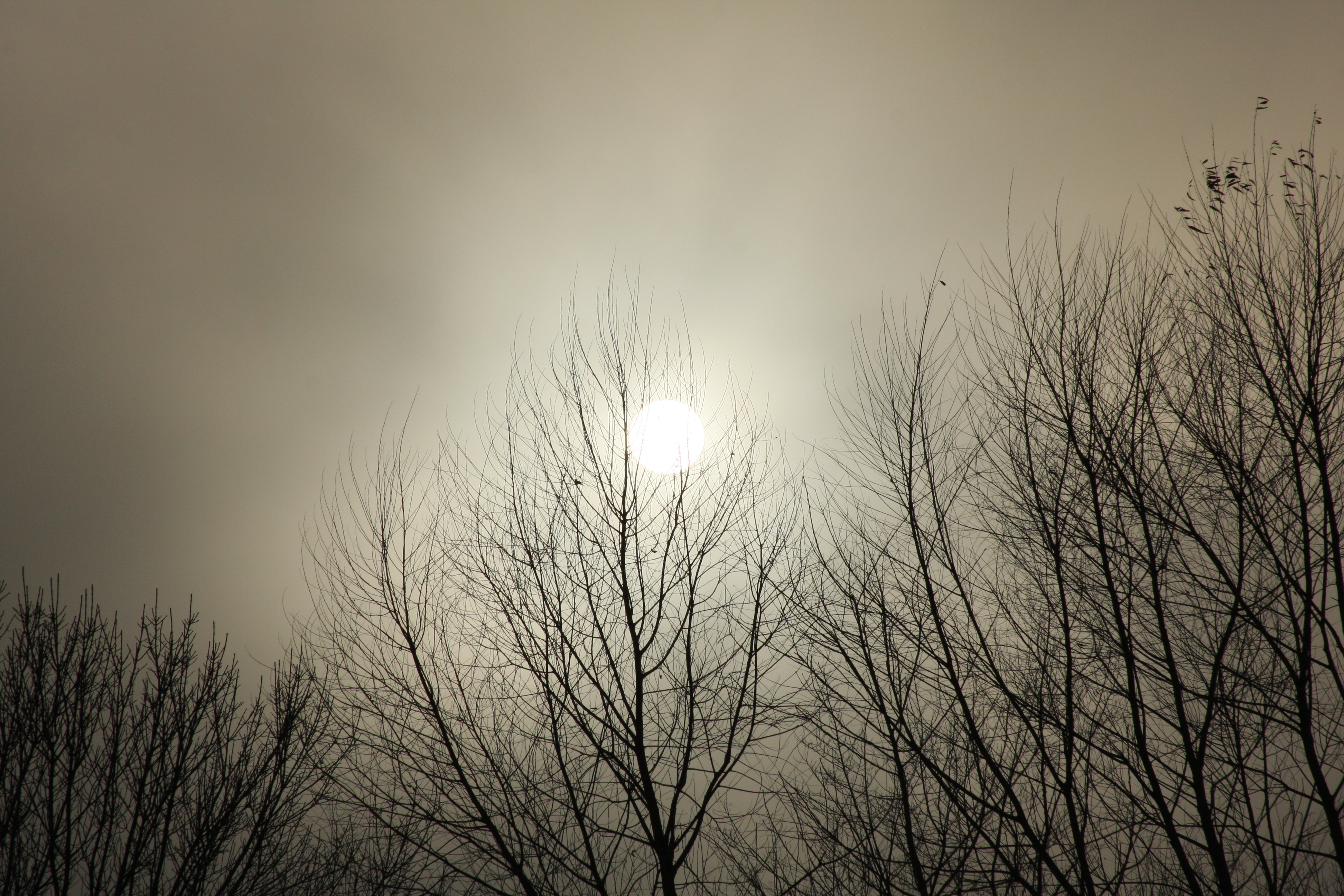
Moon Sun

Crenshaw, Clark
Topographic Map of Martell, NE, USA
Find elevation by address:

Places in Martell, NE, USA:
Places near Martell, NE, USA:
2500 W Luther St
W Roca Rd, Martell, NE, USA
Centerville
Gana Trucking & Excavating
Buda
7850 W Stagecoach Rd
Highland
Yankee Hill
8245 Sw 100th St
Olive Branch
Skyline View Apartments
2930 Ridgeline Rd Parking
Denton
Culver's
Yankee Hill
3050 Williamsburg Dr
1501 W Burnham St
Southern Hills
Denton
Highland
Recent Searches:
- Elevation of Tenjo, Cundinamarca, Colombia
- Elevation of Côte-des-Neiges, Montreal, QC H4A 3J6, Canada
- Elevation of Bobcat Dr, Helena, MT, USA
- Elevation of Zu den Ihlowbergen, Althüttendorf, Germany
- Elevation of Badaber, Peshawar, Khyber Pakhtunkhwa, Pakistan
- Elevation of SE Heron Loop, Lincoln City, OR, USA
- Elevation of Slanický ostrov, 01 Námestovo, Slovakia
- Elevation of Spaceport America, Co Rd A, Truth or Consequences, NM, USA
- Elevation of Warwick, RI, USA
- Elevation of Fern Rd, Whitmore, CA, USA