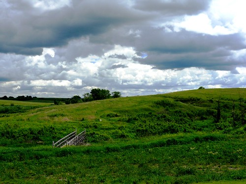
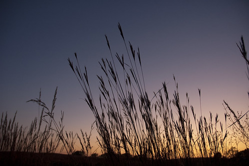
Elevation of Gana Trucking & Excavating, W Panama Rd, Martell, NE, USA

Location: United States > Nebraska > Lancaster County > Buda >

Longitude: -96.753994

Latitude: 40.5961067

Elevation: 402m / 1319feet

Barometric Pressure: 97KPa

Elevation Map:

elevation map of Gana Trucking & Excavating, W Panama Rd, Martell, NE, USA

Satellite Map:

Satellite map of Gana Trucking & Excavating, W Panama Rd, Martell, NE, USA

Related Photos:

usa canon geotagged nebraska aerialview aerial aerialshot hallam
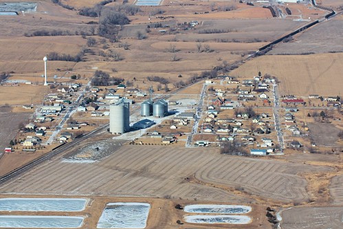
Downtown Hallam, Nebraska
orange pumpkin pumpkins curls keith stems flowrbx blueribbonwinner miniwalk rocaberryfarm mywinners abigfave flickrgold superbmasterpiece s2even astunningmoment miniwalk20071022 miniwalkswkeith 200071022
'Tis the season...
above camera sky rural google nebraska googlemaps view zoom map farm satellite maps douglass land fields martell sw72nd
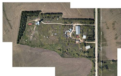
Douglass Family Farm via "Google Maps"
macro animals nebraska insects prairie arthropods
Large milkweed bug
portrait self bug photo scary eyes android
Self Portrait
google nebraska farm maps douglass streetview martell
"Google Maps - Street View" reaches the farm?!
macro nature animals nebraska insects prairie arthropods
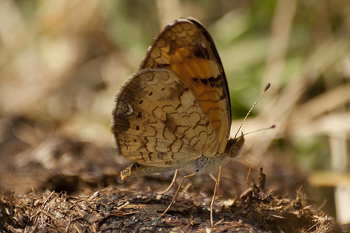
Pearl crescent
macro nature animals nebraska insects prairie arthropods
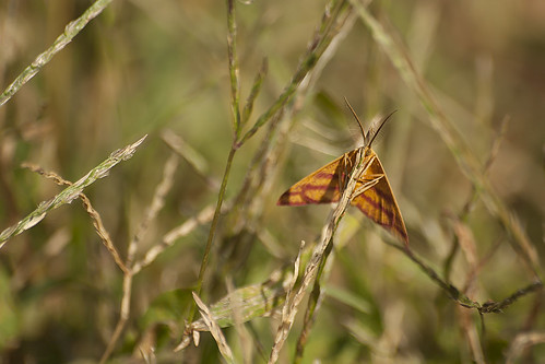
Chickweed geometer
portrait self phone cell sunburst android
Self Portrait
lumix nebraska panasonic lincoln prairie lincolnnebraska springcreek fz50 springcreekprairie dmcfz50 springcreekprairieaudoboncenter
Obstructed View
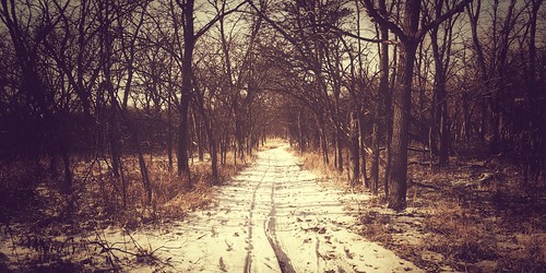
trees path nature anamorphic iphone7plus iphoneography iphone snow woods project365
Project 365 // 1.8.2017 // Day 8
nebraska grasses prairie 1976 1776 nativegrasses flowrbx notever bicentennialprairiemarker neverbeenplowed
Bicentennial Prairie - Taking a Closer Look
nebraska prairie 1976 1776 flowrbx notever natviegrasses neverbeenplowed bicentennialprairiemarker
A kinder, gentler morning break.
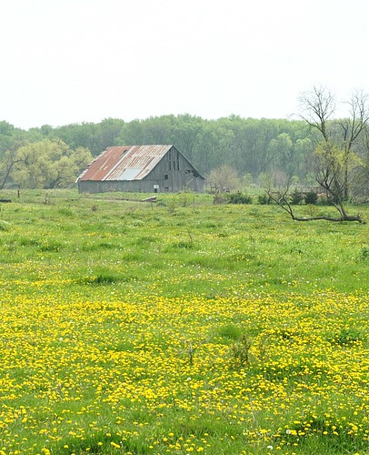
barn nebraska mattsteinhausen
Barn West of Sprague Nebraska
street classic ford abandoned car vintage doors flood suicide rusty chevy swamp rod studebaker wreck sunroof
1947 Studebaker
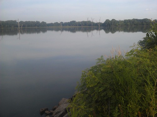
camping nebraska lancastercounty campground staterecreationarea bluestemlake
Bluestem Lake- Lancaster County NE (9)
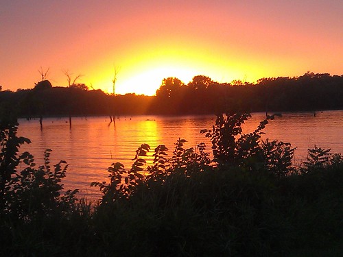
camping sunset nebraska lancastercounty campground staterecreationarea bluestemlake
Bluestem Lake- Lancaster County NE (8)
camping sunset nebraska lancastercounty campground staterecreationarea bluestemlake
Bluestem Lake- Lancaster County NE (6)
longexposure blue sky lake storm nature rain weather contrast canon landscape eos evening spring nebraska moody cloudy lincoln thunderstorm lightning 24mm dslr nebraskasky canoneos5dmarkiii
Just a little lightning
baby rabbit bunny nature nikon nebraska wildlife cottontail d90
Backyard Baby Bunny
clouds fence nebraska prairie mattsteinhausen
spring creek prairie fence
flower green field yellow nebraska sunflower impressionism impressionist fineartphotography hickman kellyhoffart hickmannebraska
Wild Sunflowers
lumix nebraska panasonic hero winner lincoln prairie lincolnnebraska springcreek fz50 springcreekprairie dmcfz50 springcreekprairieaudoboncenter
Spring Creek Prairie
nebraska pelican americanwhitepelican flowrbx miniwalk wagontrainlake 20080503 miniwalk20080503 miniwalkswkeith
In search of pelicans
grass geotagged nebraska 2006 tall tallgrass geolat40702375 geolon96834612
Tall Grass
lumix nebraska panasonic lincoln prairie lincolnnebraska springcreek fz50 springcreekprairie challengeyouwinner dmcfz50 springcreekprairieaudoboncenter
Rolling Hills and Rolling Clouds
sunset summer sun lake nature train swimming wagon landscape pond nebraska cliche worldland
A Cliche
blue black march spring nebraska burn prairie 2012
Scorched Prairie
sunset grass silhouette country prairie springcreekauduboncenter
Prairie Grass Sunset
square squareformat mayfair iphoneography instagramapp uploaded:by=instagram
I love this place. #gravel #nebraska