Elevation of Marshall, IL, USA
Location: United States > Illinois > Clark County > Marshall Township >
Longitude: -87.693638
Latitude: 39.3914252
Elevation: 193m / 633feet
Barometric Pressure: 99KPa
Elevation Map:
Satellite Map:
Related Photos:

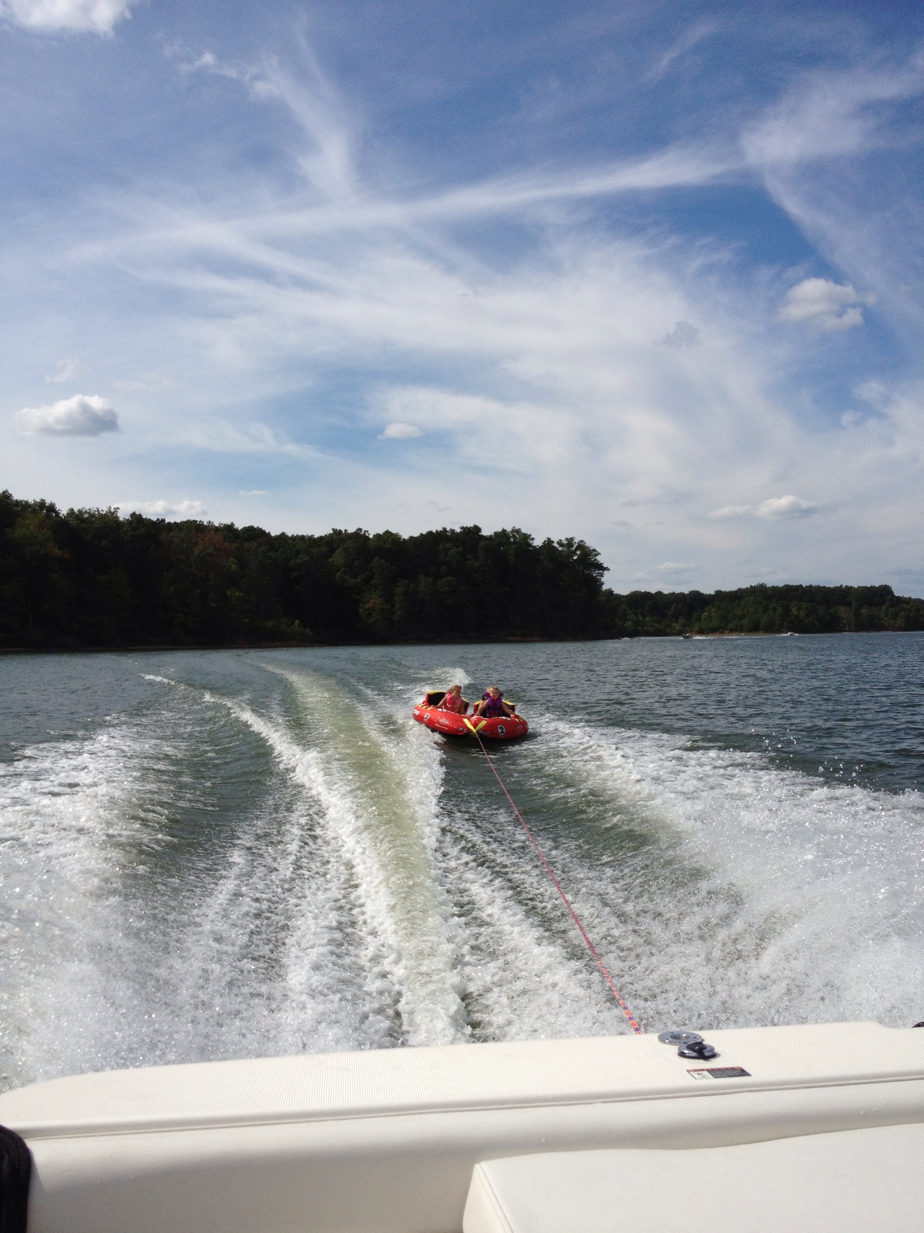
The view from ... ?
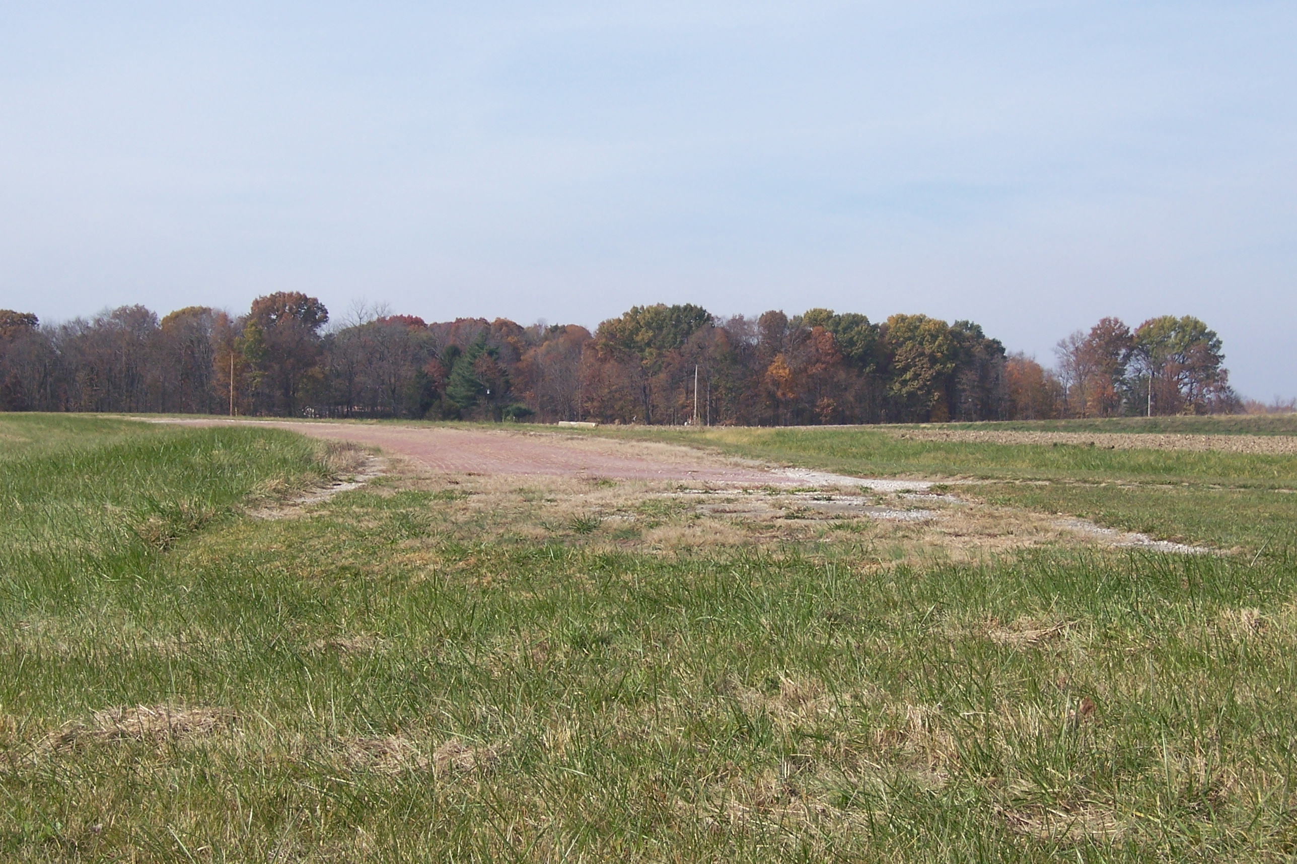
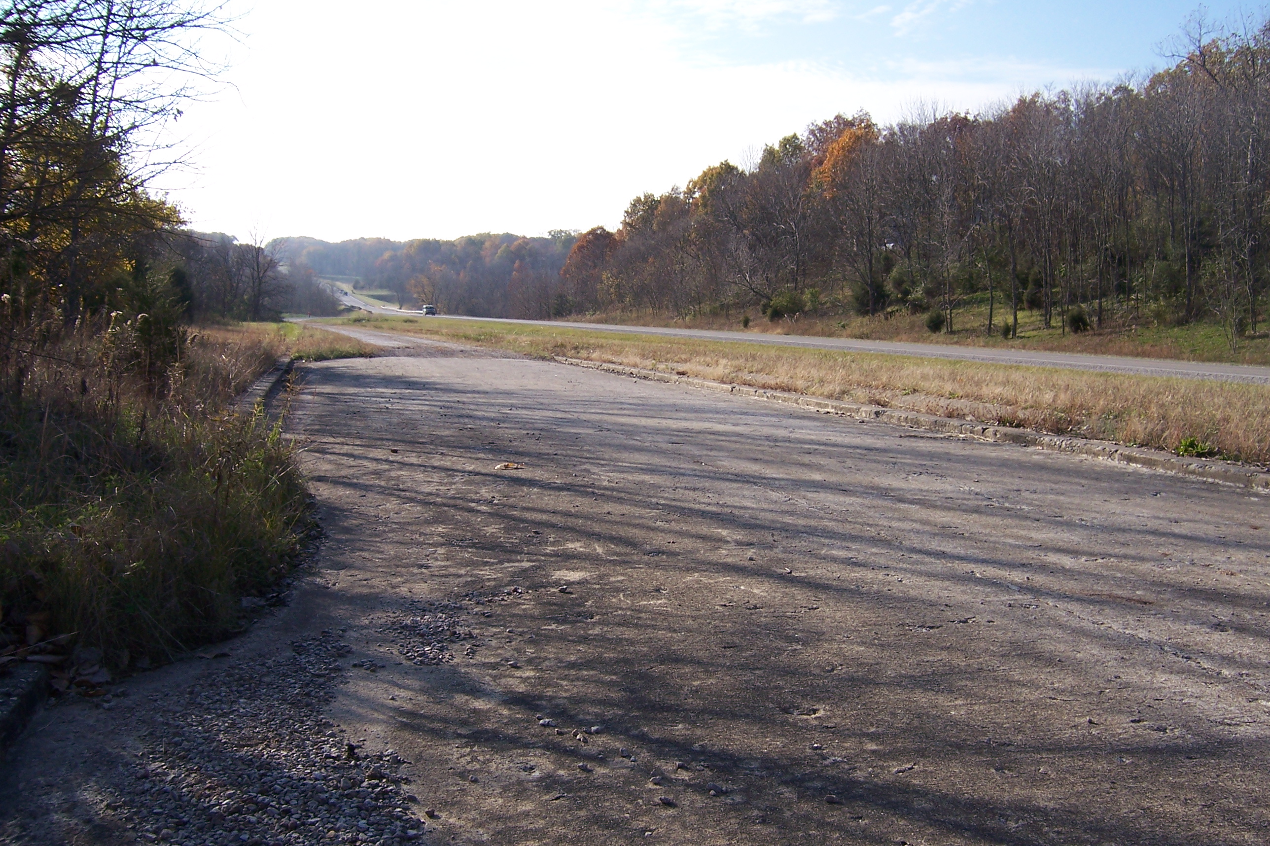
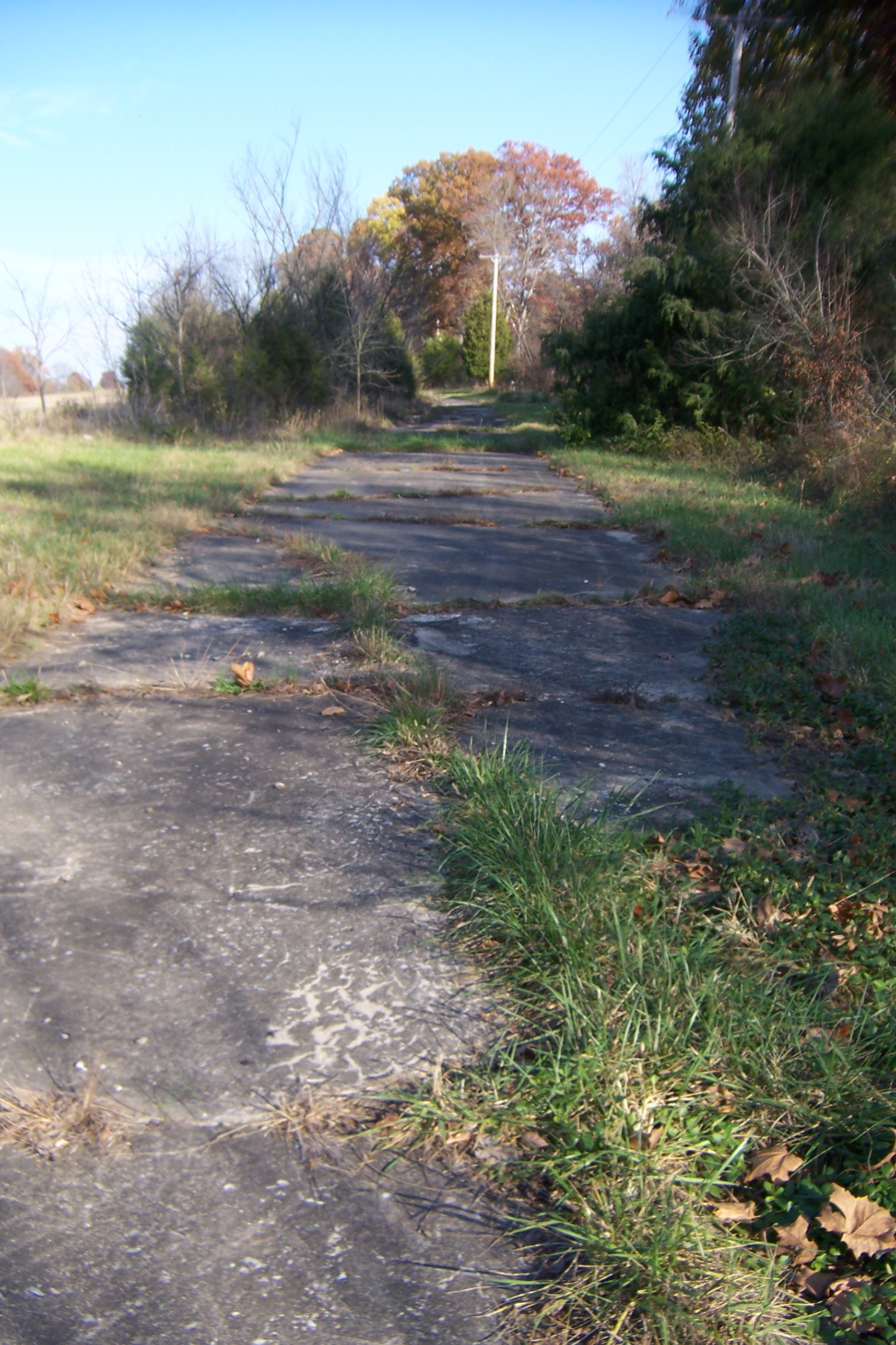
Abandoned National Road
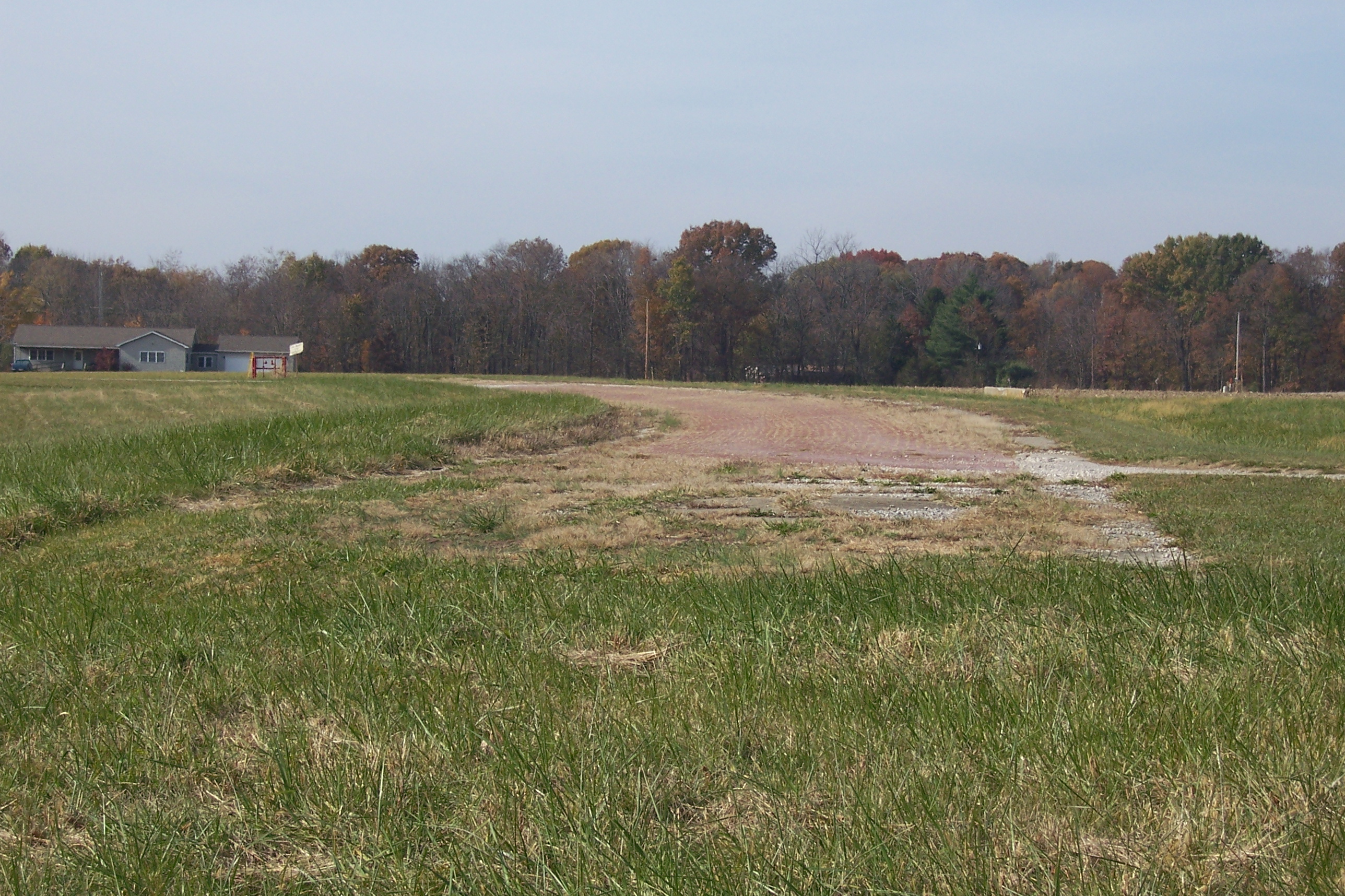
Abandoned National Road
View from the Covered Bridge
Country Road

Endless Illinois.
Camera Roll-6

Truck_122712_LR-276.jpg
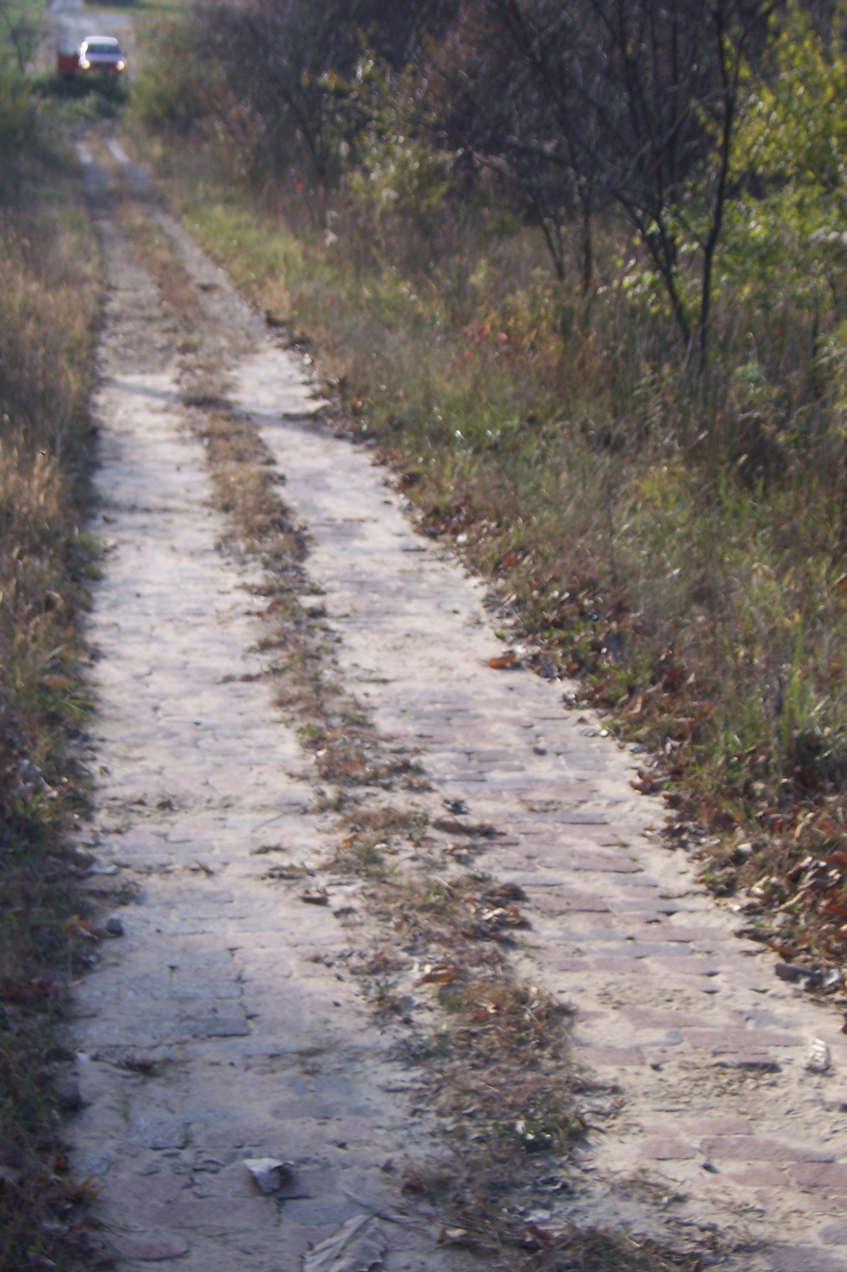
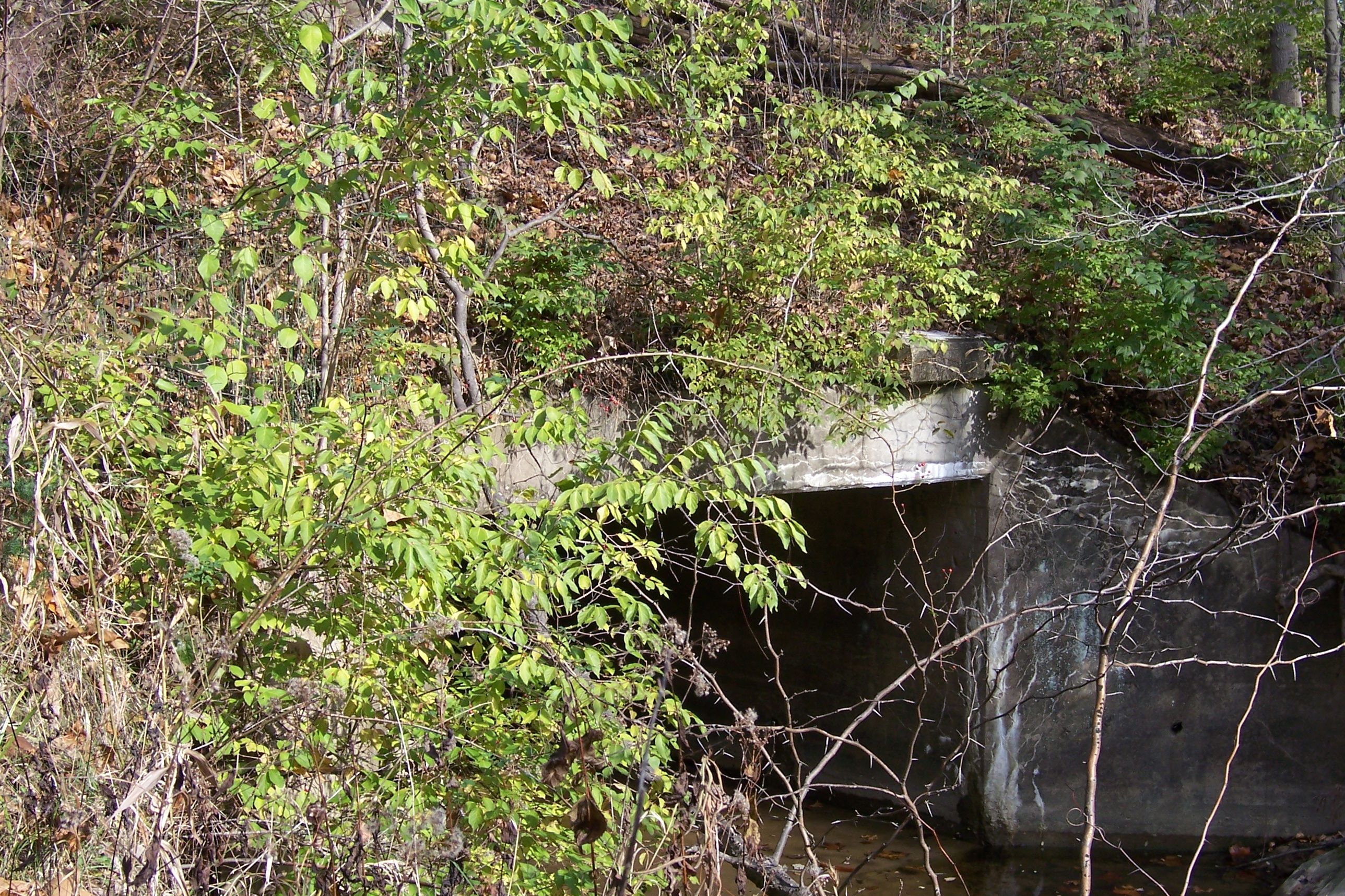
Abandoned Illinois National Road

Truck_090711_LR-177.jpg
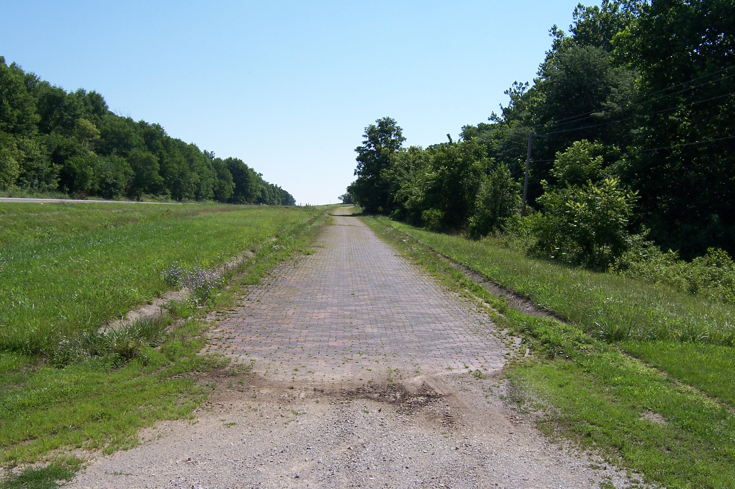
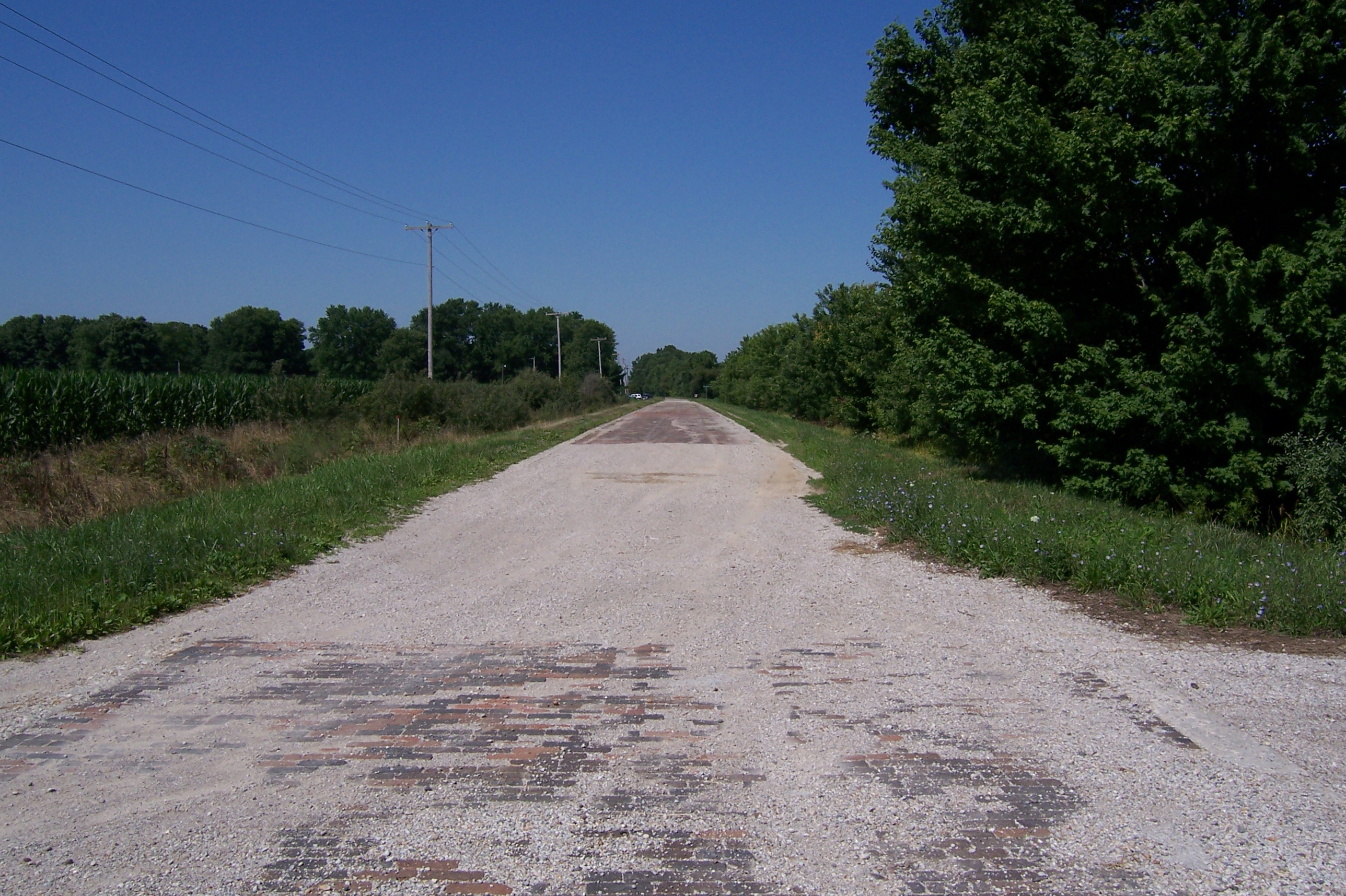
Brick National Road west of Marshall, IL

19-3.jpg
Abandoned National Road
Abandoned National Road

Camera Roll-7
Abandoned National Road
Abandoned Illinois National Road
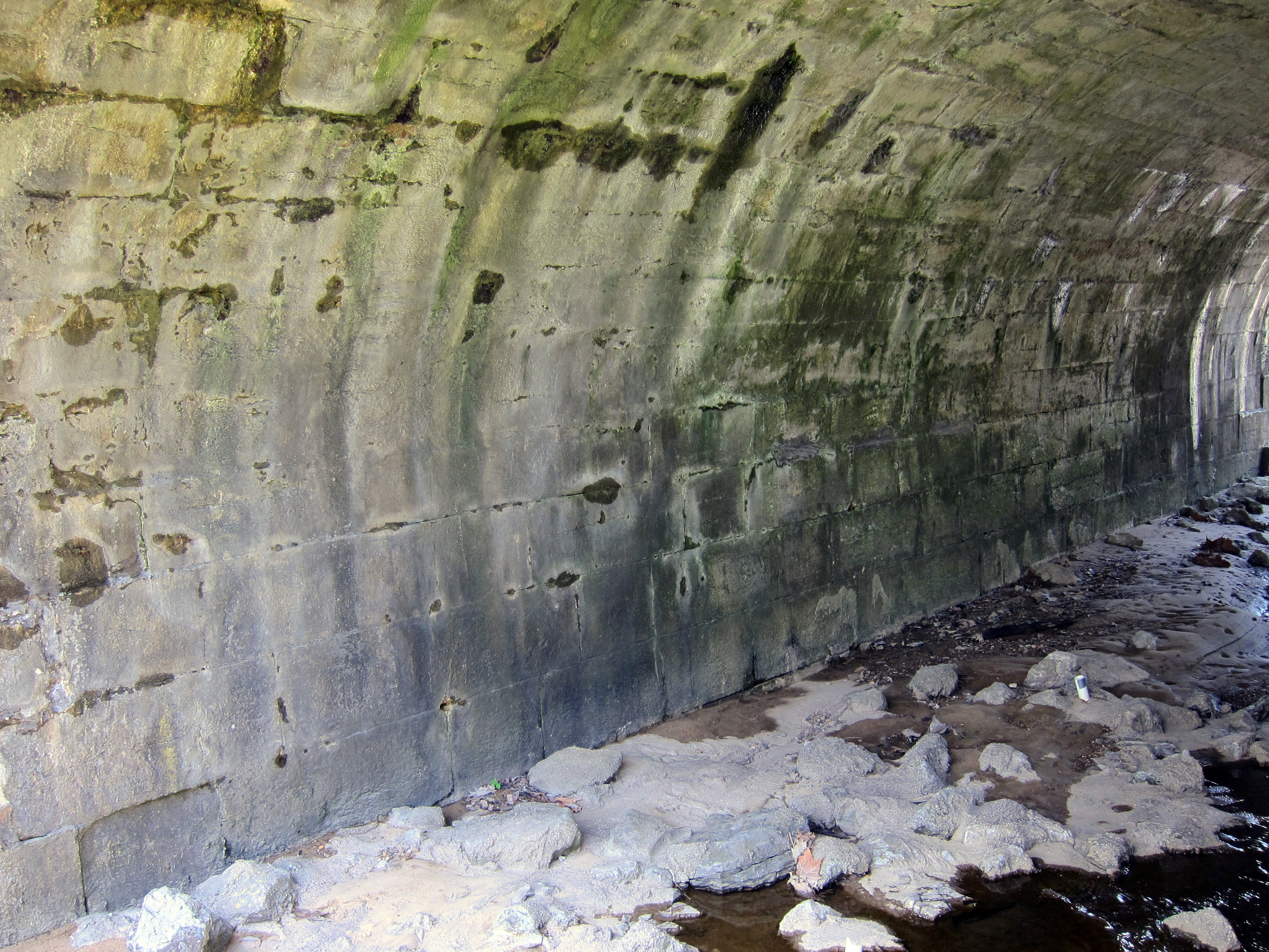
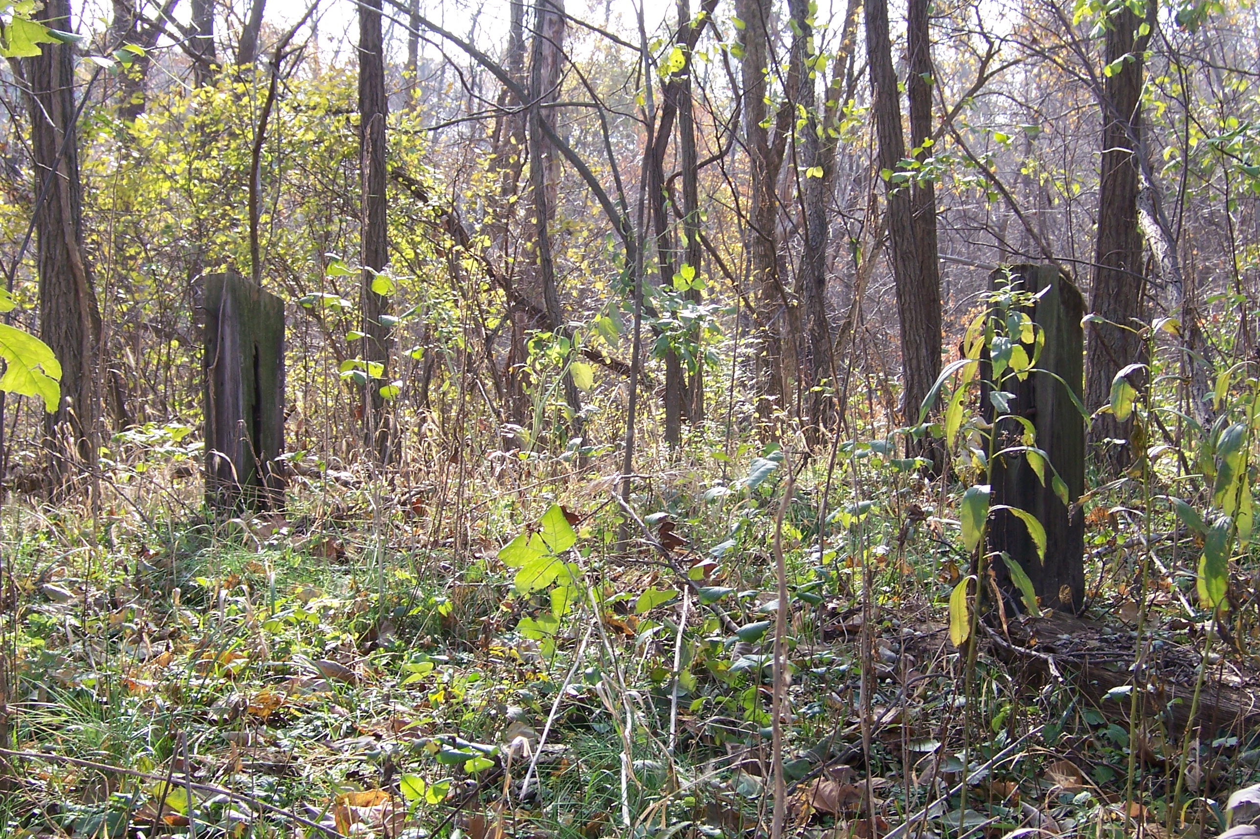
Stone arch bridge in Marshall
Abandoned Illinois National Road

2015-04-30 06.35.08
Topographic Map of Marshall, IL, USA
Find elevation by address:

Places in Marshall, IL, USA:
Places near Marshall, IL, USA:
627 Archer Ave
Marshall Township
Clark County
US-40, Marshall, IL, USA
Wabash Township
17968 E Terre Haute Rd
Dolson Township
E Terre Haute Rd, Paris, IL, USA
Elbridge Township
21990 N Cline Orchard Rd
21990 N Cline Orchard Rd
Grandview Township
7608 Il-16
Railroad Ave, Paris, IL, USA
Vermilion
920 W Crawford St
309 Alexander St
W Court St, Paris, IL, USA
Paris
325 E Wood St
Recent Searches:
- Elevation of Groblershoop, South Africa
- Elevation of Power Generation Enterprises | Industrial Diesel Generators, Oak Ave, Canyon Country, CA, USA
- Elevation of Chesaw Rd, Oroville, WA, USA
- Elevation of N, Mt Pleasant, UT, USA
- Elevation of 6 Rue Jules Ferry, Beausoleil, France
- Elevation of Sattva Horizon, 4JC6+G9P, Vinayak Nagar, Kattigenahalli, Bengaluru, Karnataka, India
- Elevation of Great Brook Sports, Gold Star Hwy, Groton, CT, USA
- Elevation of 10 Mountain Laurels Dr, Nashua, NH, USA
- Elevation of 16 Gilboa Ln, Nashua, NH, USA
- Elevation of Laurel Rd, Townsend, TN, USA