Elevation of Marine Dr, Moser River, NS B0J 2K0, Canada
Location: Canada > Nova Scotia > Guysborough County > St. Mary's > Ecum Secum >
Longitude: -62.140373
Latitude: 44.9674317
Elevation: 6m / 20feet
Barometric Pressure: 101KPa
Elevation Map:
Satellite Map:
Related Photos:

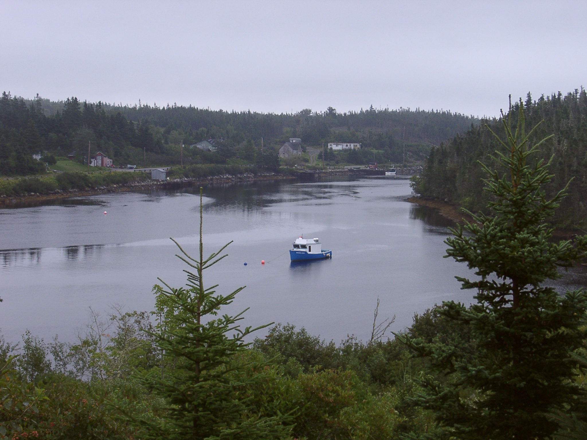
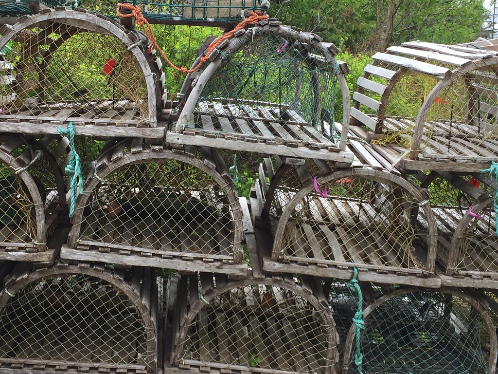
NS2008_0616_57
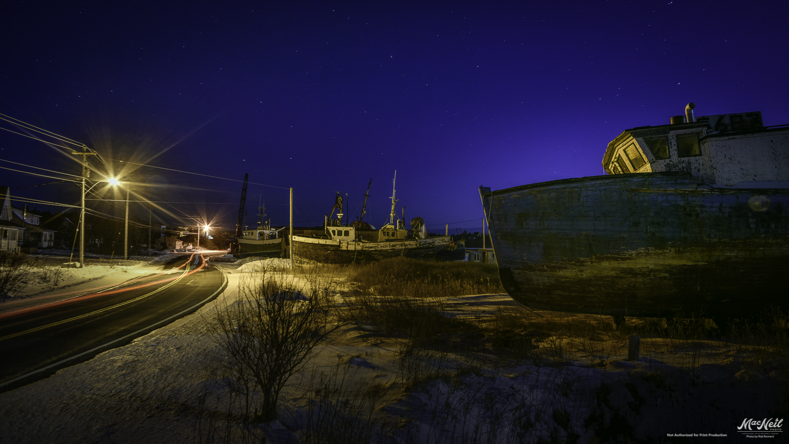
Wilsons Cove
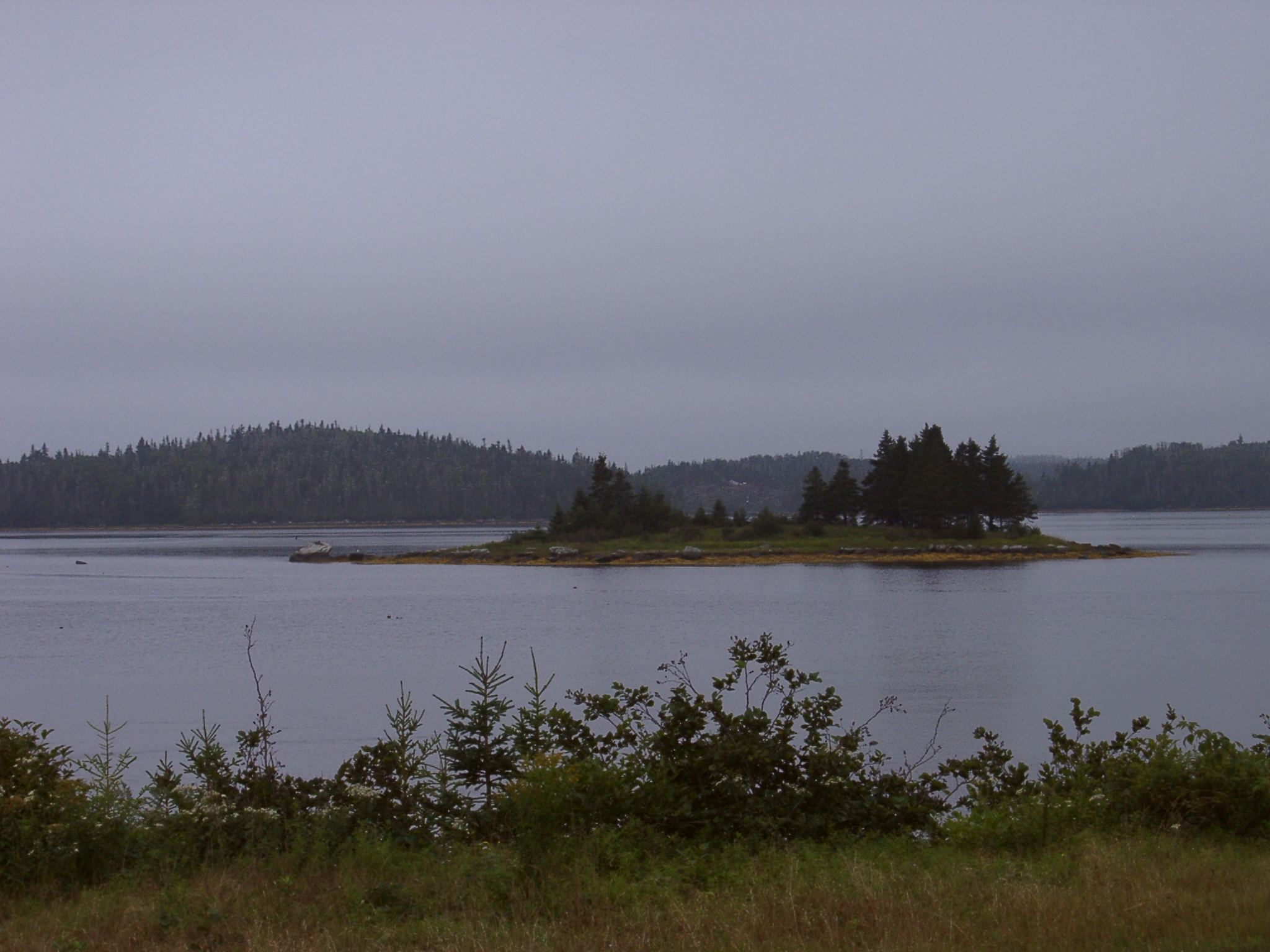
Wilsons Cove
Wilsons Cove
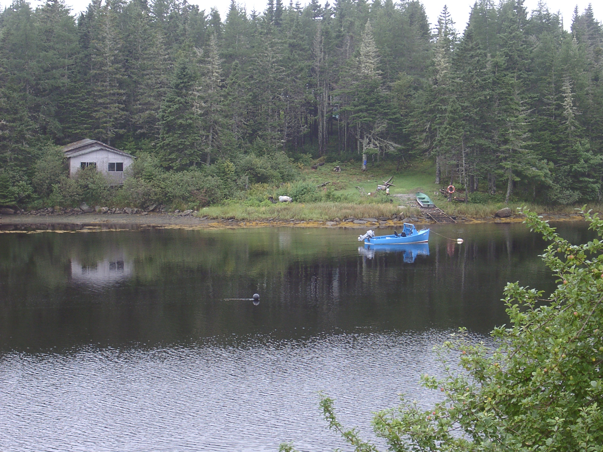
Mitchell Bay

Maritimes with an iPhone
Maritimes with an iPhone

Maritimes with an iPhone

Maritimes with an iPhone

Maritimes with an iPhone
Maritimes with an iPhone

Maritimes with an iPhone
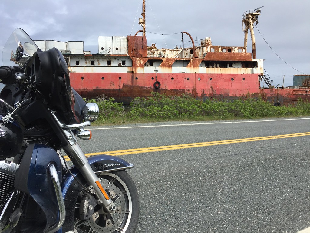
Highway 7 through Marie Joseph, Nova Scotia
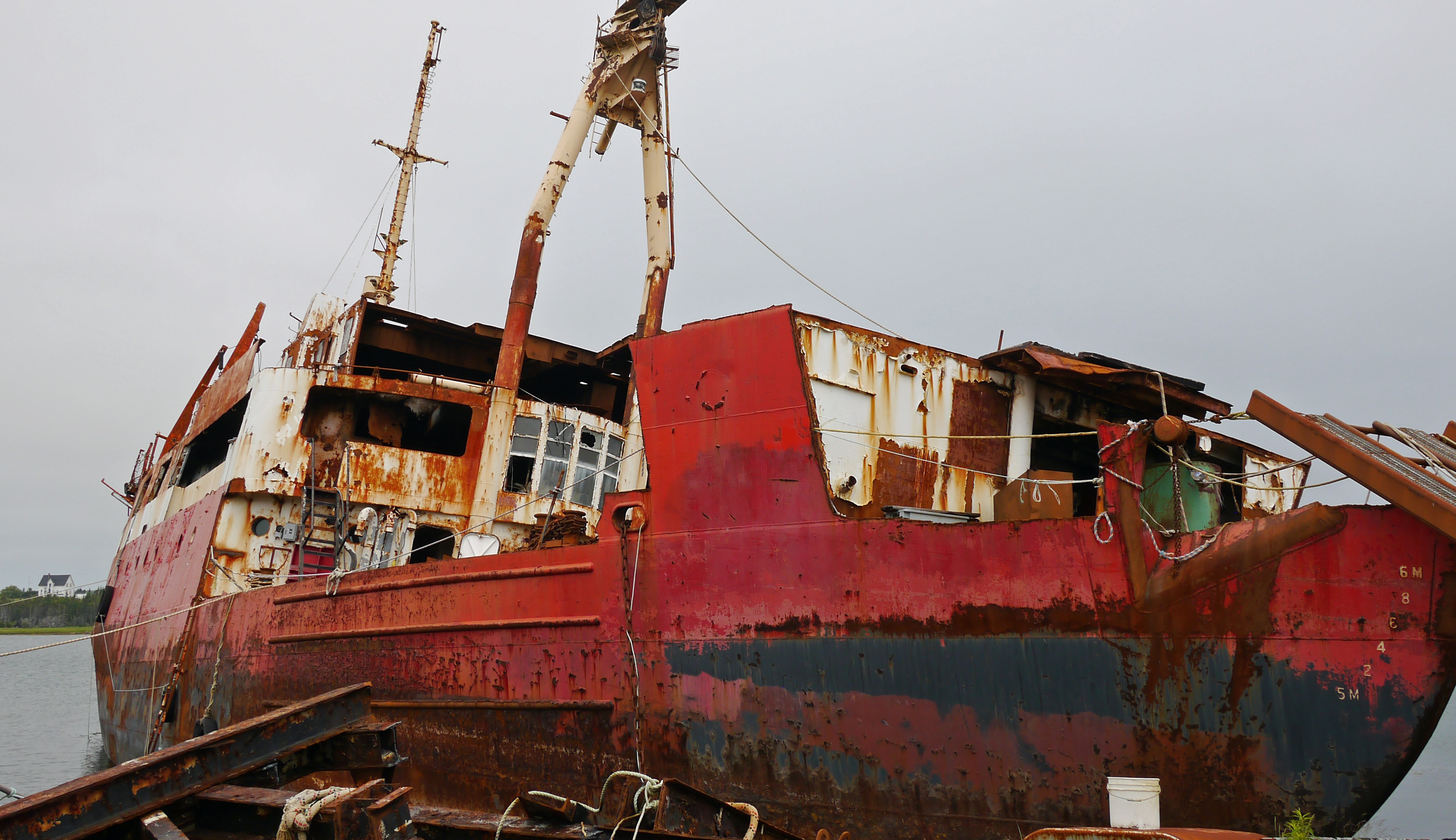
Tupper wreck
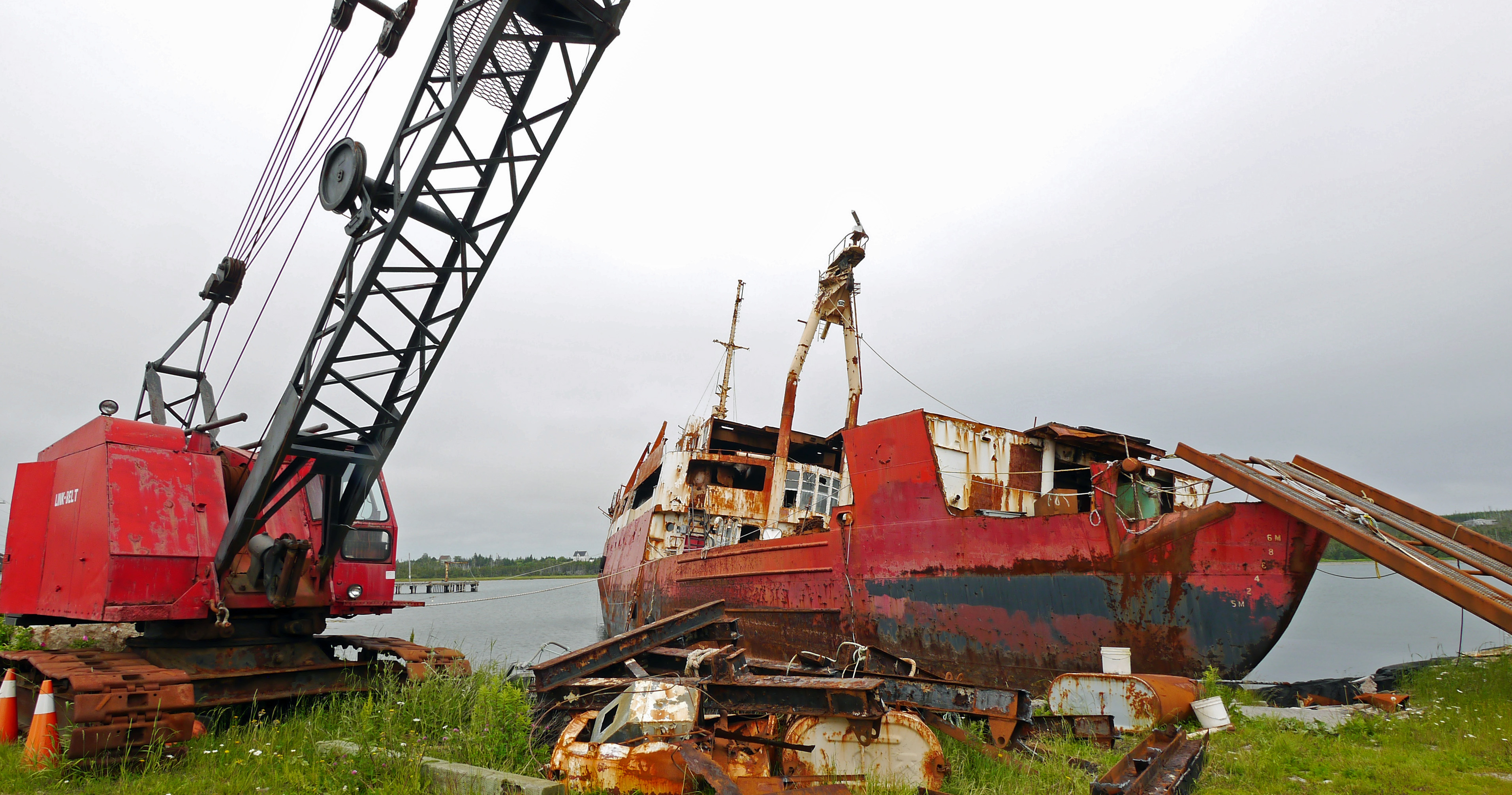
Tucker salvage
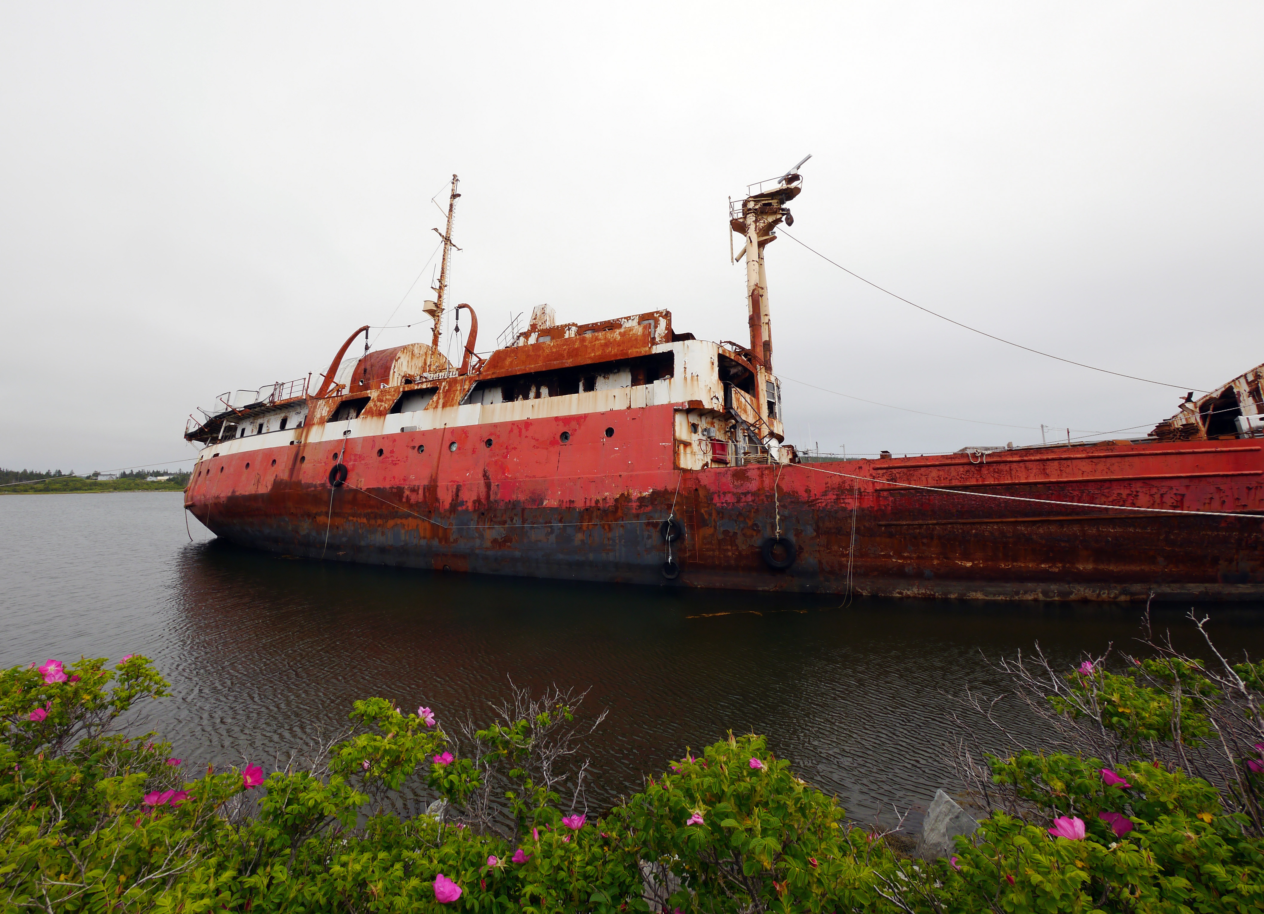
Tupper 2
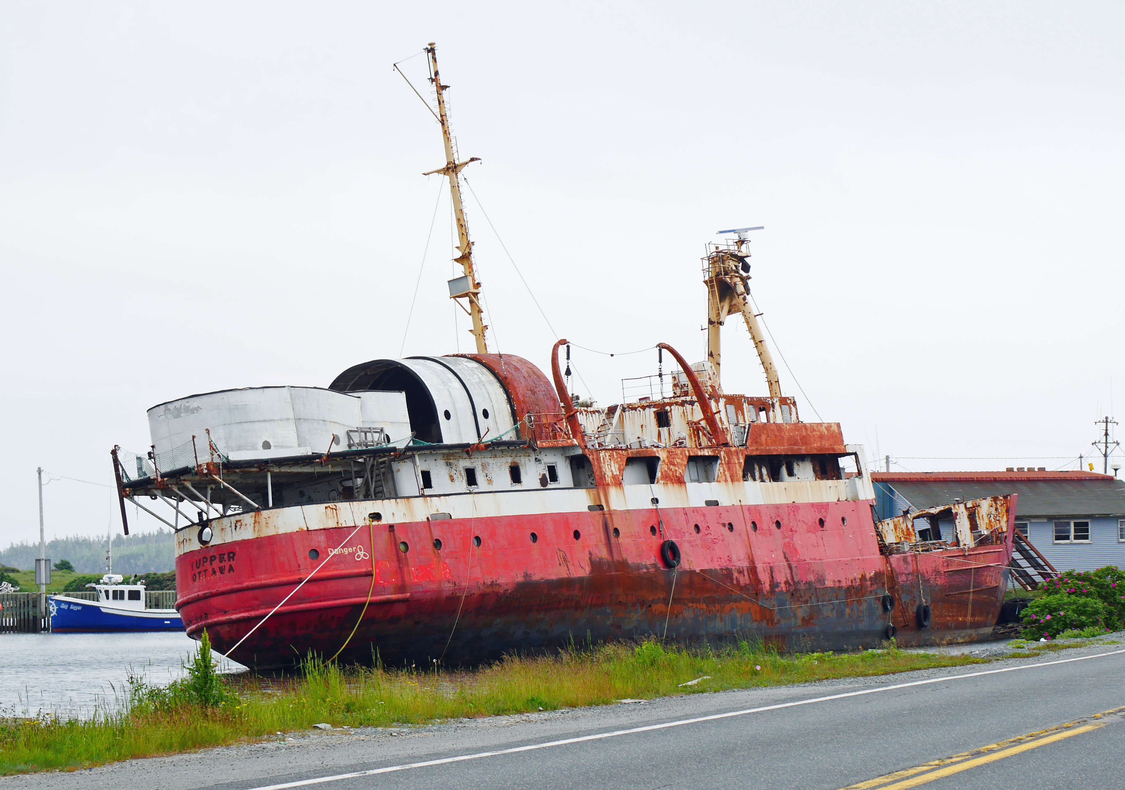
Derelict Tupper
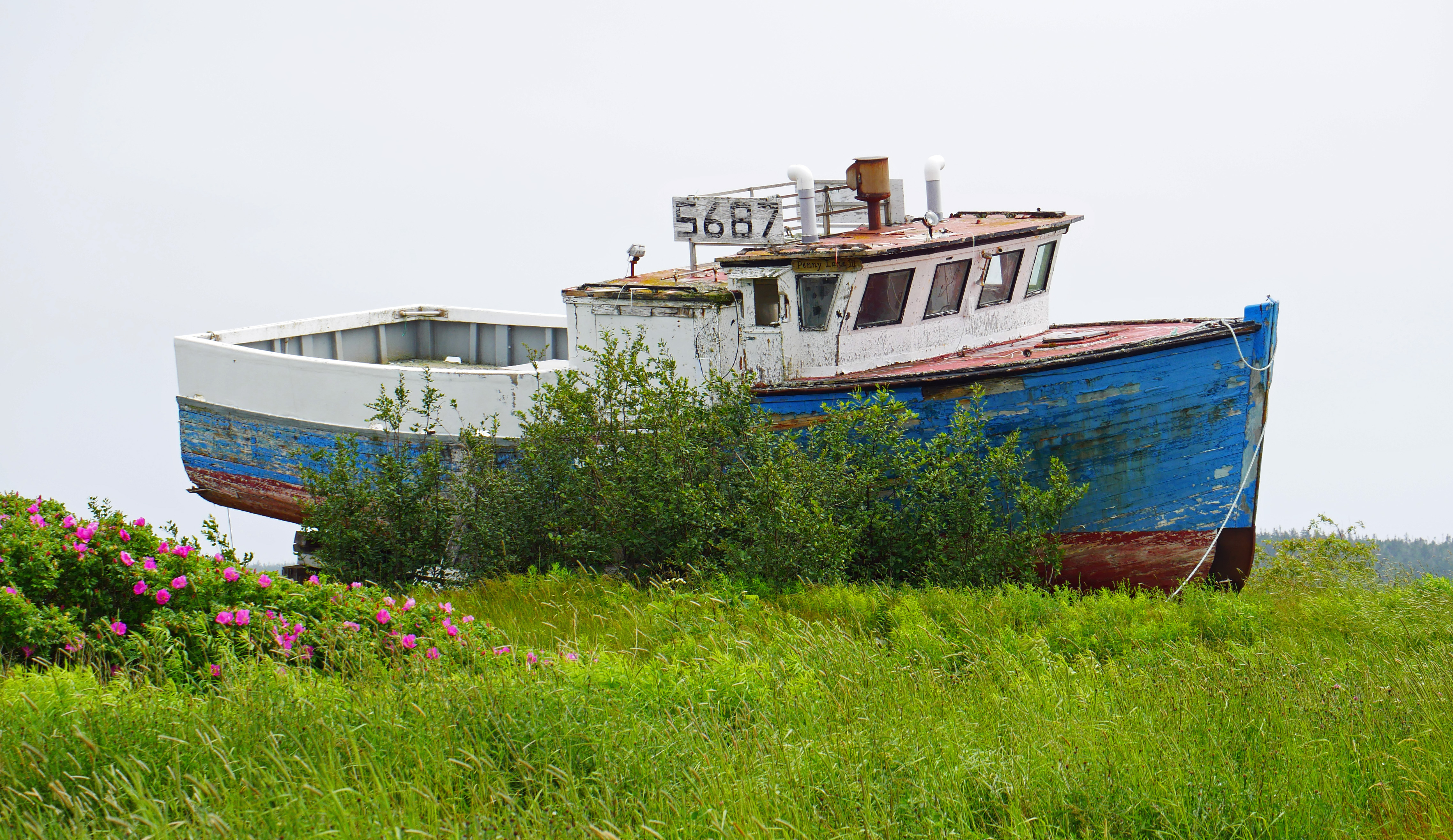
Blue derelict

grapes?

Tie down
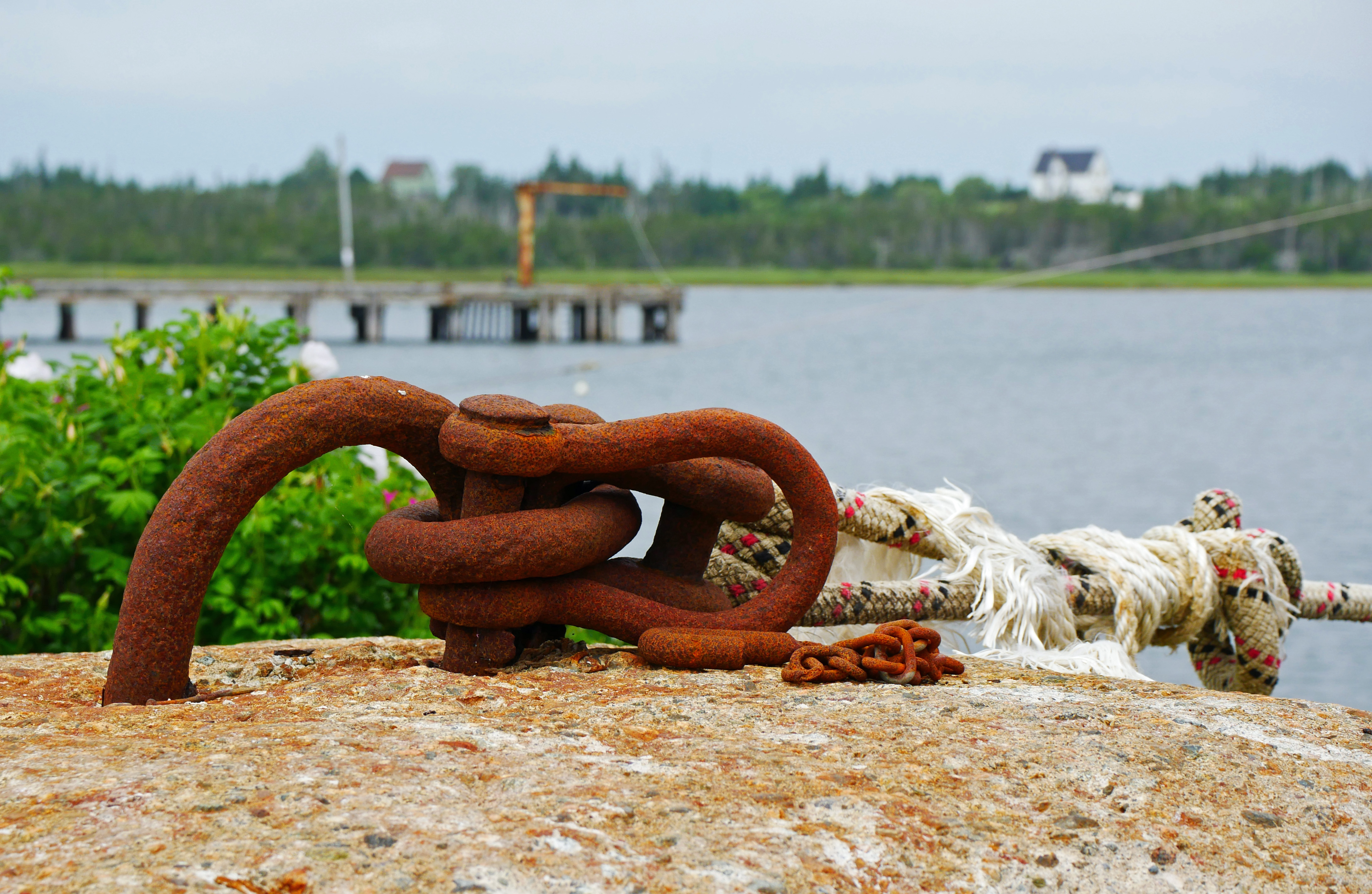
Tie down 2
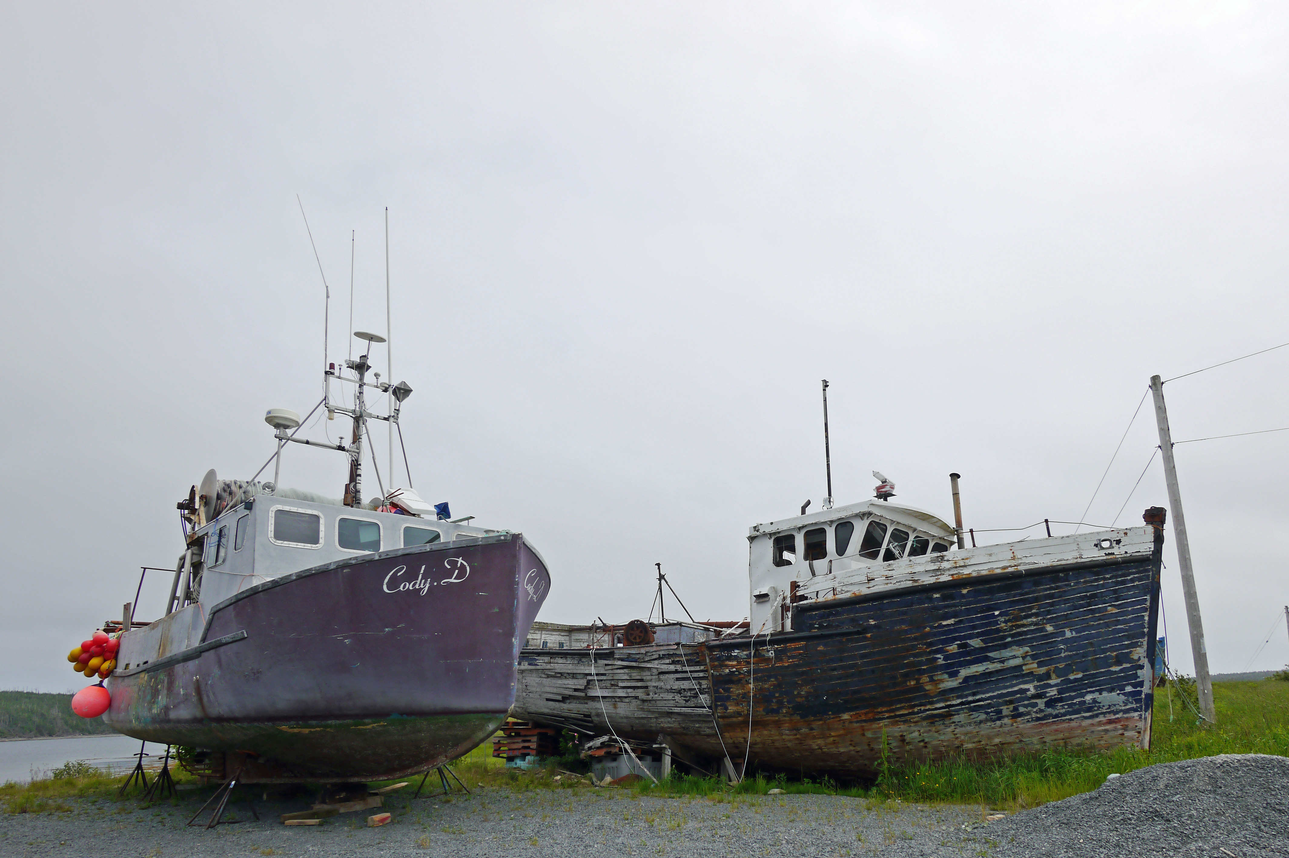
Cody D
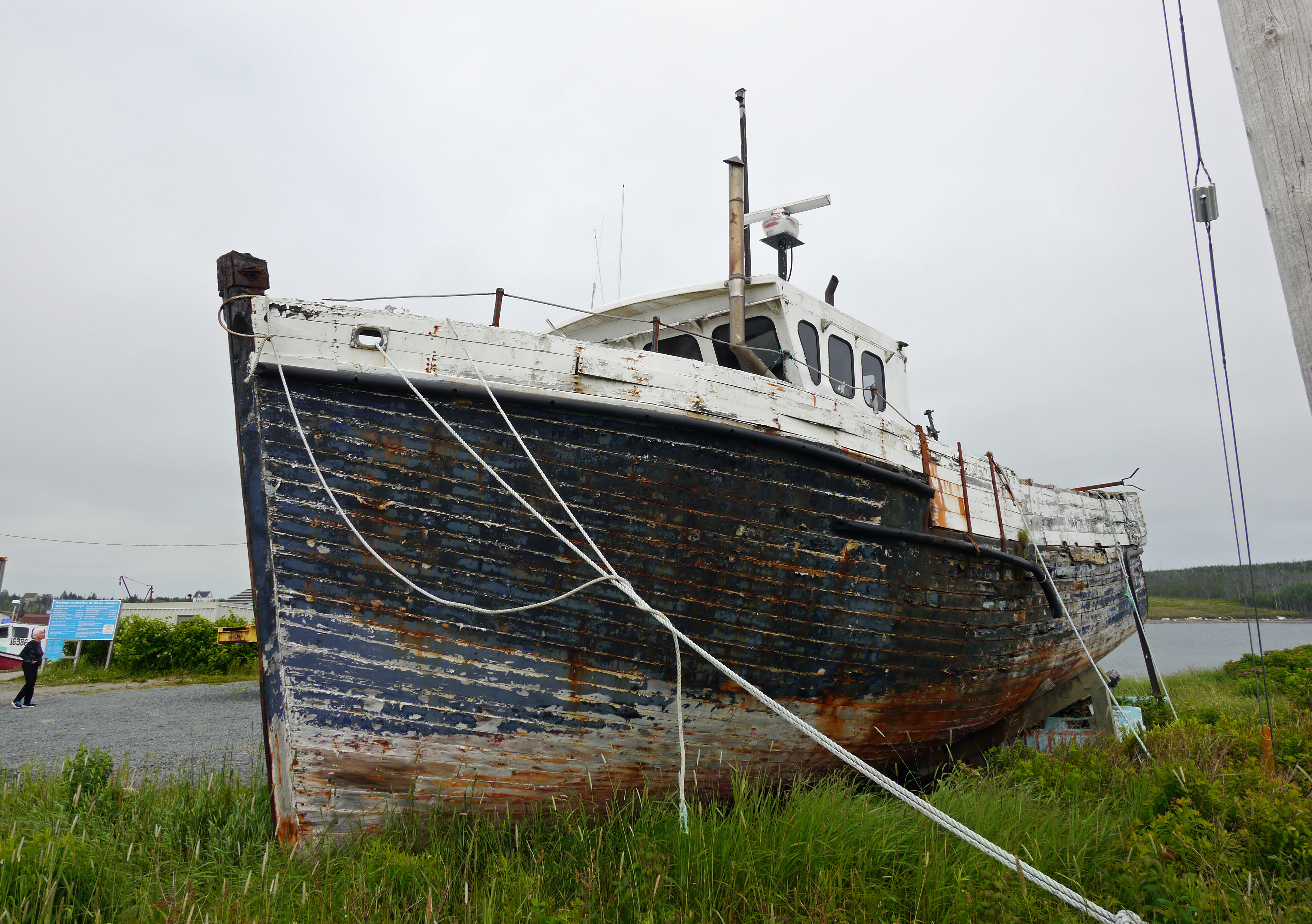
wooden boat
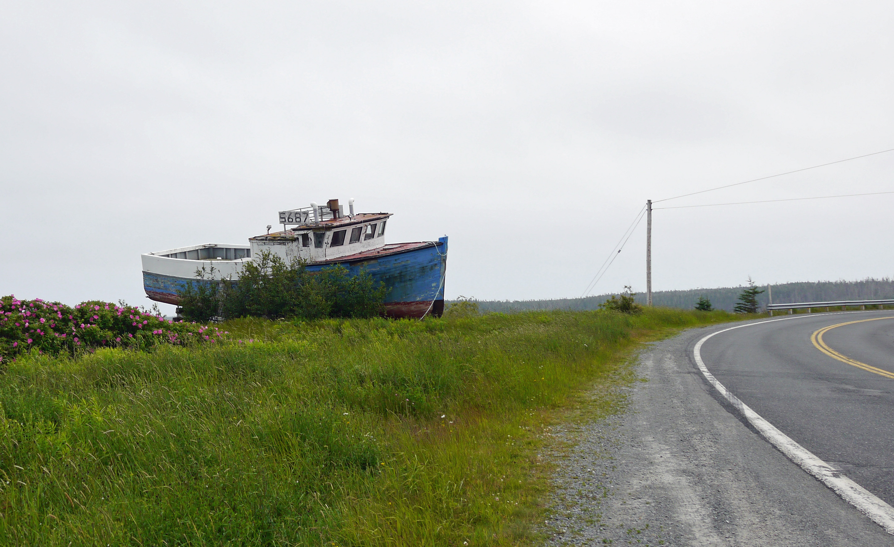
roadside boat

Marine Wrecking Yard
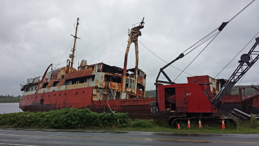
Marine Wrecking Yard
Topographic Map of Marine Dr, Moser River, NS B0J 2K0, Canada
Find elevation by address:

Places near Marine Dr, Moser River, NS B0J 2K0, Canada:
Marine Dr, Moser River, NS B0J 2K0, Canada
Briggs Rd, Moser River, NS B0J 2K0, Canada
1644 S Shore Rd
Ecum Secum
79 Mitchell Bay Rd, Mitchell Bay, NS B0J, Canada
Marie Joseph
Marine Dr, Moser River, NS B0J 2K0, Canada
85 Smith Cove Rd, Necum Teuch, NS B0J, Canada
28660 Hwy 7
Nauglers Settlement Rd, Moser River, NS B0J, Canada
Moser River
Moosehead
37 Stan Gammon Loop, Moosehead, NS B0J, Canada
48 Milts Rd, Harrigan Cove, NS, Canada
17 Three Bridges Rd
Smileys Point Road
Smileys Point Rd, Port Dufferin, NS B0J, Canada
Port Dufferin
Marine Dr, Port Dufferin, NS B0J, Canada
Beaver Harbour
Recent Searches:
- Elevation of Warwick, RI, USA
- Elevation of Fern Rd, Whitmore, CA, USA
- Elevation of 62 Abbey St, Marshfield, MA, USA
- Elevation of Fernwood, Bradenton, FL, USA
- Elevation of Felindre, Swansea SA5 7LU, UK
- Elevation of Leyte Industrial Development Estate, Isabel, Leyte, Philippines
- Elevation of W Granada St, Tampa, FL, USA
- Elevation of Pykes Down, Ivybridge PL21 0BY, UK
- Elevation of Jalan Senandin, Lutong, Miri, Sarawak, Malaysia
- Elevation of Bilohirs'k