Elevation of Marine Dr, Port Dufferin, NS B0J, Canada
Location: Canada > Nova Scotia > Halifax Regional Municipality > Halifax > Port Dufferin >
Longitude: -62.384057
Latitude: 44.9132692
Elevation: 10m / 33feet
Barometric Pressure: 101KPa
Elevation Map:
Satellite Map:
Related Photos:

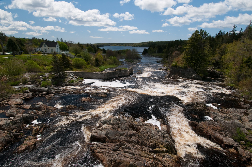
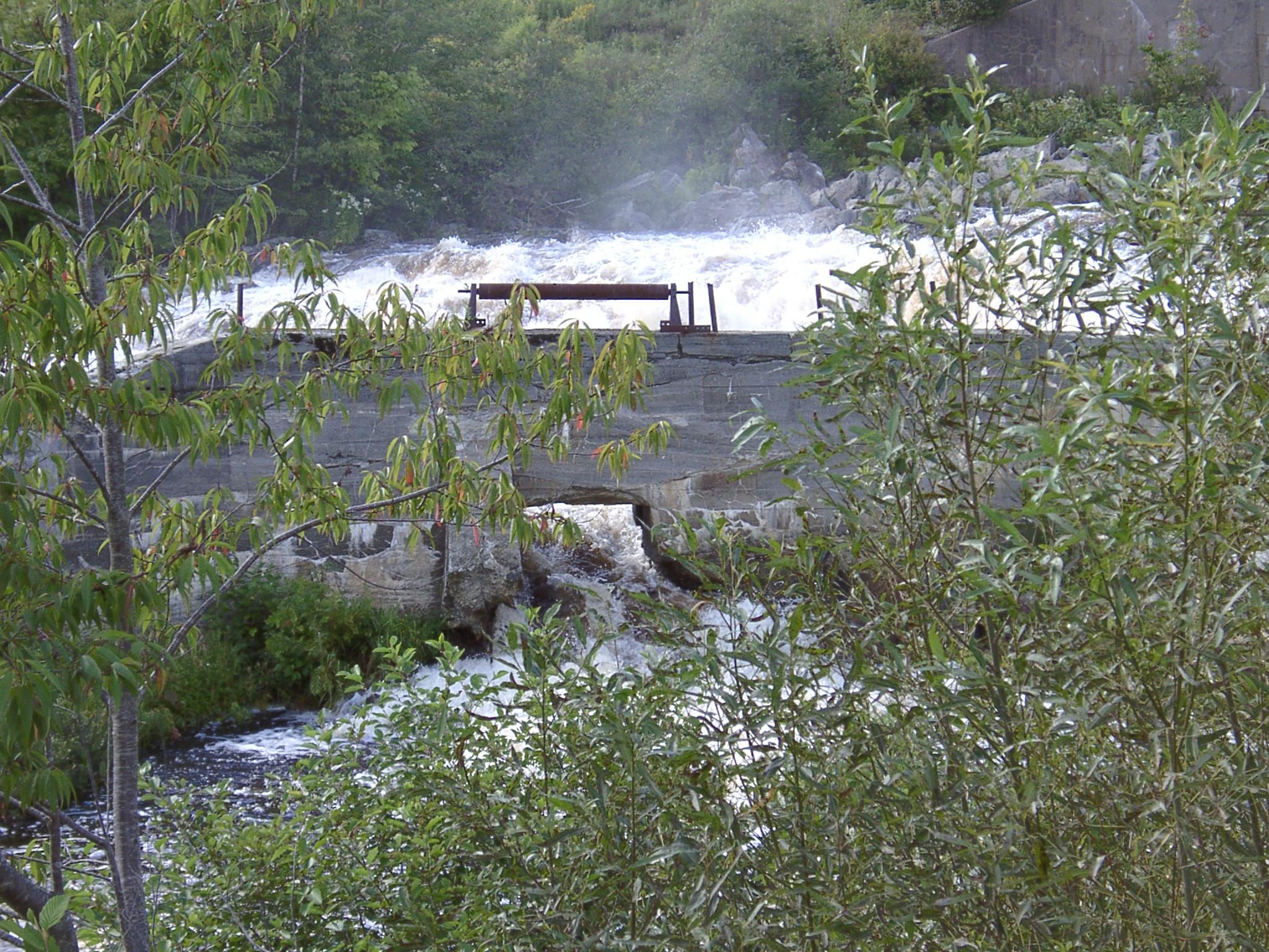
Rapids at Sheet Harbour

Sheet Harbour Rapids

Sheet Harbour Cascade
bvdm-20090526-001
Dufferin Mines
East Quoddy
Dufferin Mines

Maritimes with an iPhone
Maritimes with an iPhone
Maritimes with an iPhone

Maritimes with an iPhone

Maritimes with an iPhone
DSC_0492_3_4Enhancer ES
DSC_0495_6_7Enhancer ES
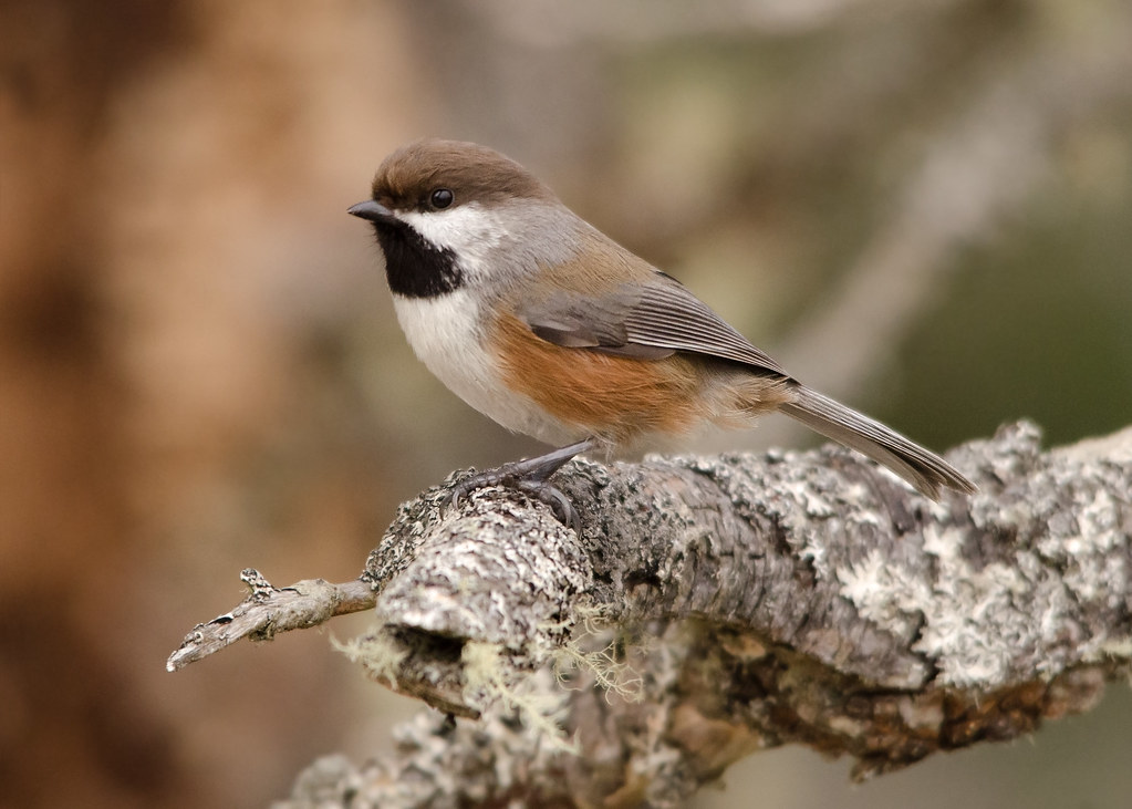
Boreal Chickadee
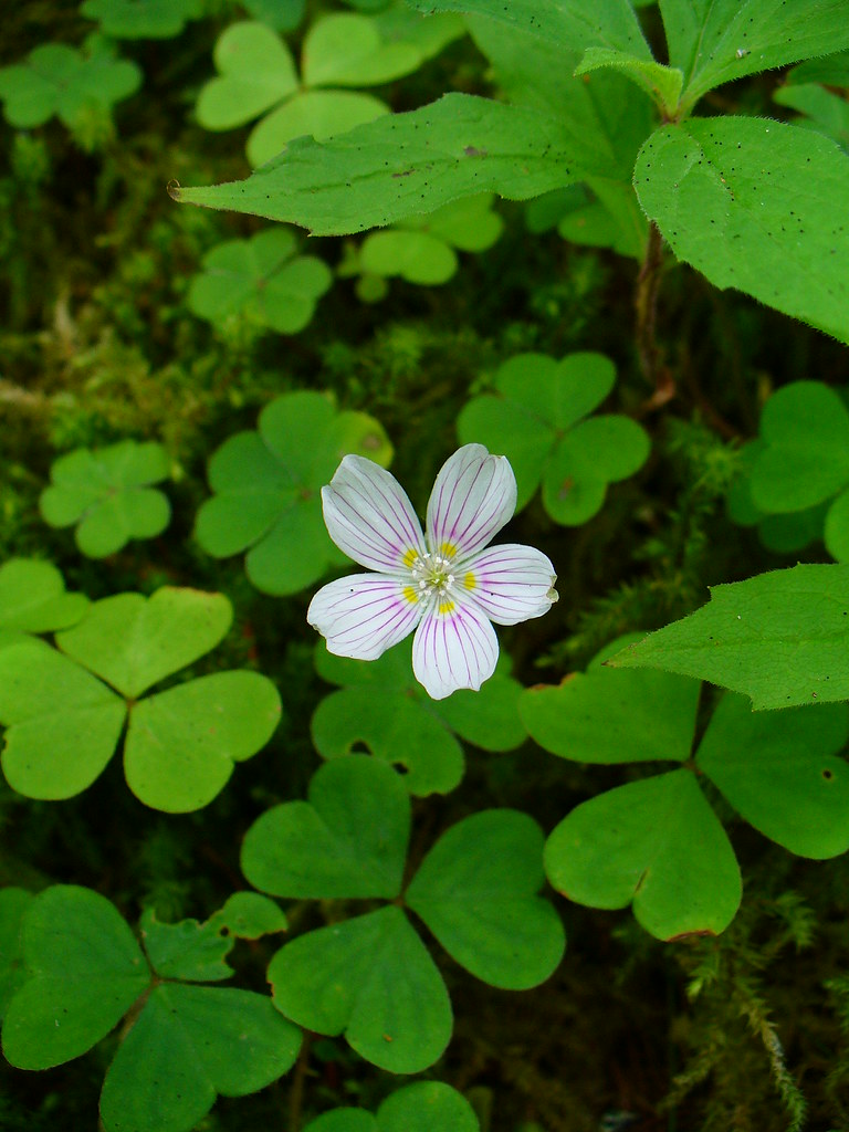
Wood Sorrell

Henley House Pub & Restaurant
DSC_1716 [640x480]
DSC_1706 [640x480]
Dufferin Mines
Dufferin Mines
Topographic Map of Marine Dr, Port Dufferin, NS B0J, Canada
Find elevation by address:

Places near Marine Dr, Port Dufferin, NS B0J, Canada:
Port Dufferin
Smileys Point Road
Smileys Point Rd, Port Dufferin, NS B0J, Canada
Beaver Harbour
17 Three Bridges Rd
Passage Rd, Beaver Harbour, NS B0J, Canada
48 Milts Rd, Harrigan Cove, NS, Canada
Sober Island
405 Mozier Cove Rd
Mozier Cove Rd, Sober Island, NS B0J, Canada
99 Levys Rd, Sober Island, NS B0J, Canada
37 Stan Gammon Loop, Moosehead, NS B0J, Canada
Moosehead
Moser River
28660 Hwy 7
Nauglers Settlement Rd, Moser River, NS B0J, Canada
B0j 3b0
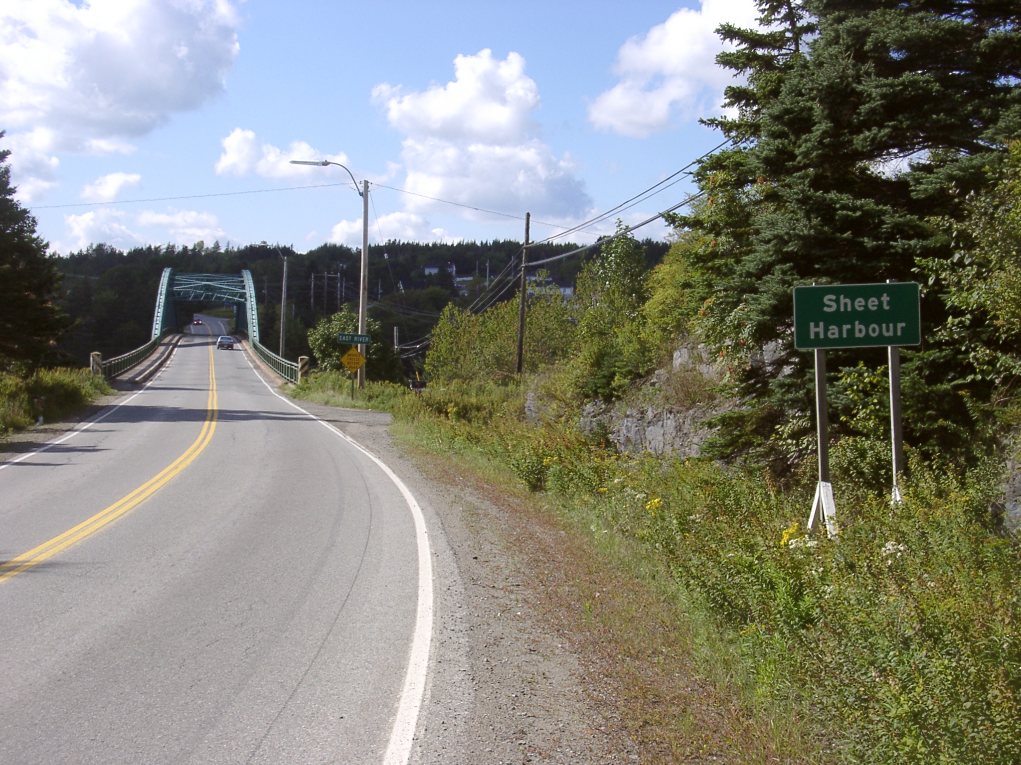
Sheet Harbour
60 Ocean Dr, Mushaboom, NS B0J, Canada
Mushaboom
Recent Searches:
- Elevation of Cavendish Rd, Harringay Ladder, London N4 1RR, UK
- Elevation of 1 Zion Park Blvd, Springdale, UT, USA
- Elevation of Ganderbal
- Elevation map of Konkan Division, Maharashtra, India
- Elevation of Netaji Nagar, Hallow Pul, Kurla, Mumbai, Maharashtra, India
- Elevation of Uralsk, Kazakhstan
- Elevation of 45- Kahana Dr, Honokaa, HI, USA
- Elevation of New Mexico 30, NM-30, Española, NM, USA
- Elevation of Santmyer Way, Charles Town, WV, USA
- Elevation of Riserva Naturale Lago di Montepulciano, Italy