Elevation of Maple St, Bolivar, PA, USA
Location: United States > Pennsylvania > Westmoreland County > Fairfield Township > Bolivar >
Longitude: -79.157326
Latitude: 40.3934258
Elevation: 310m / 1017feet
Barometric Pressure: 98KPa
Elevation Map:
Satellite Map:
Related Photos:
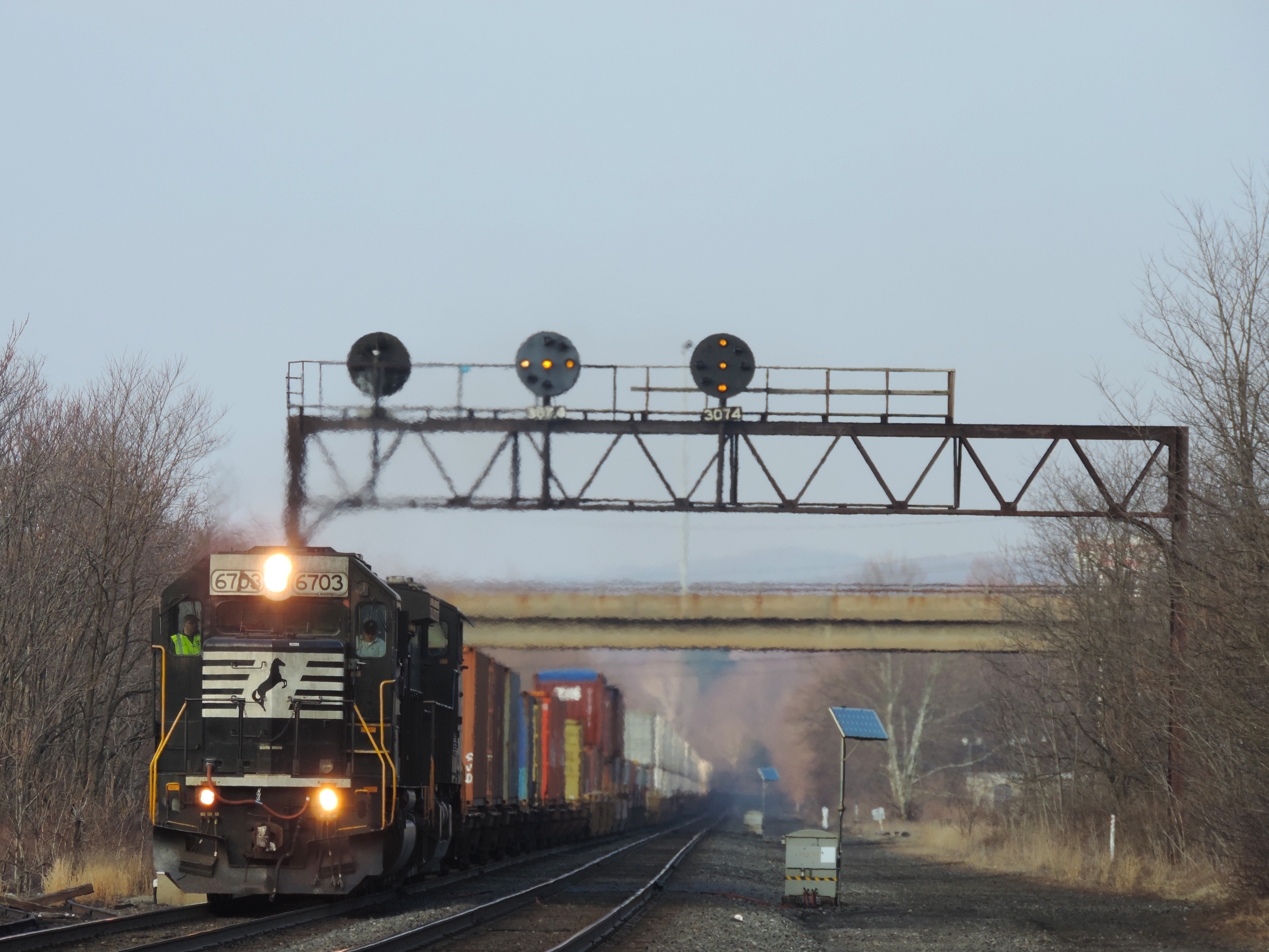
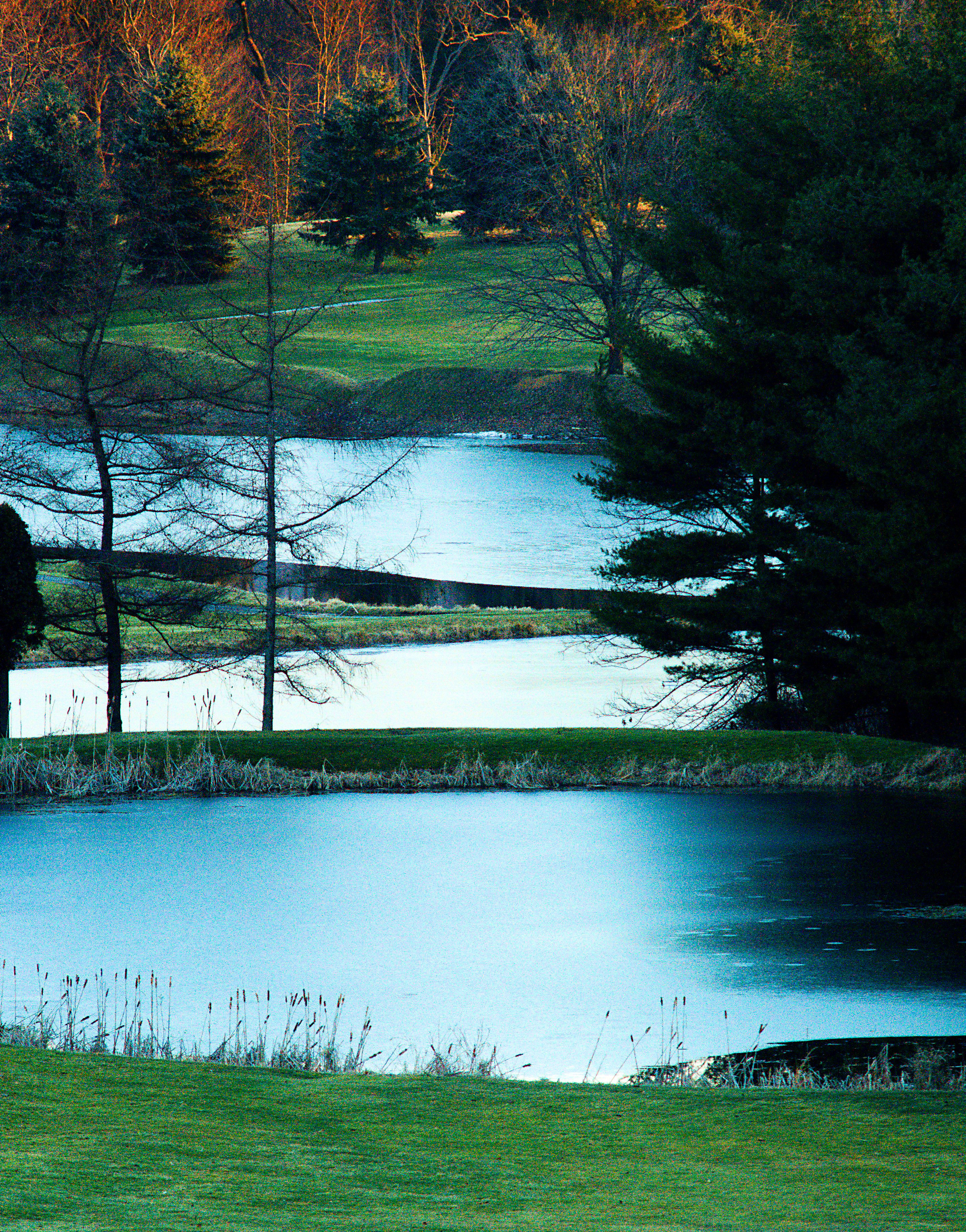
A Different View Of 307

A Blast of Winter
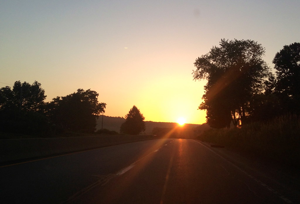
Pittsburgh 5AM view

Blacklick Creek - Ghost Town Trail

View of the Bishop's grave yard and St. Thekla's Chapel
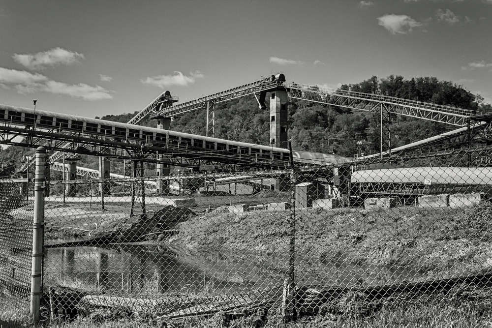
The Conemaugh Generating Station deep mine water run off ponding

Conemaugh Generating Station
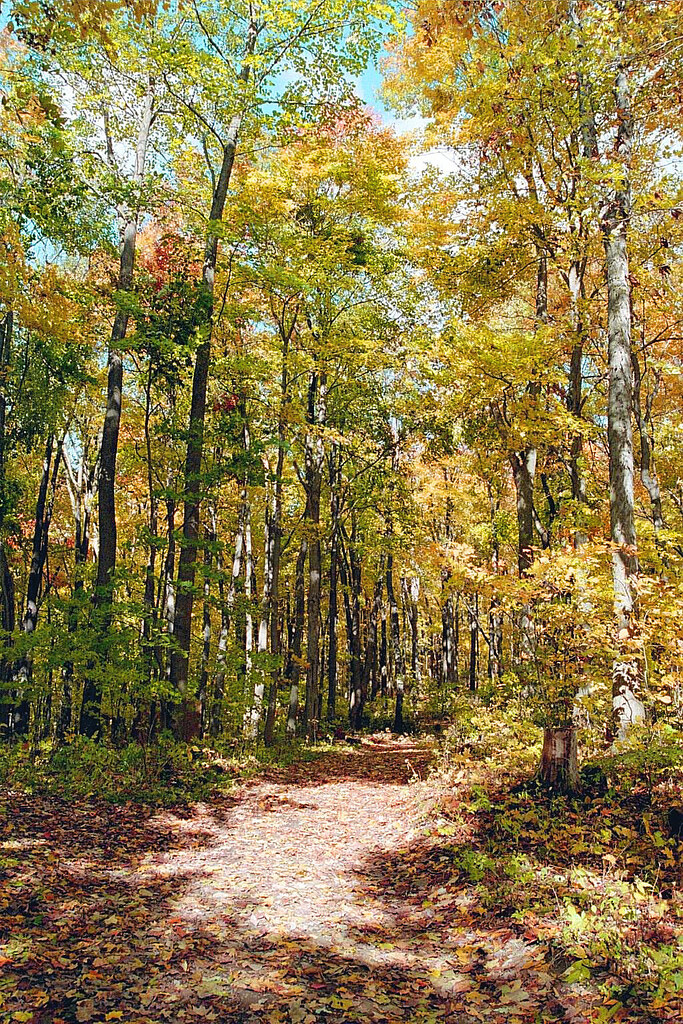
Fall Trail
Walk in the Woods

Brilliant Fall day
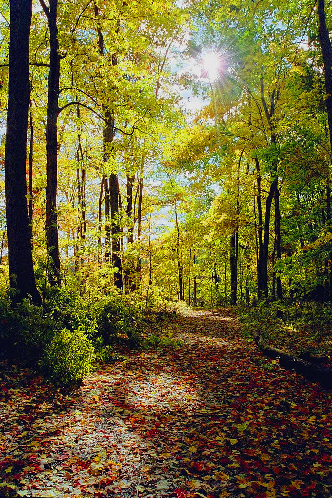
Sunlit Path

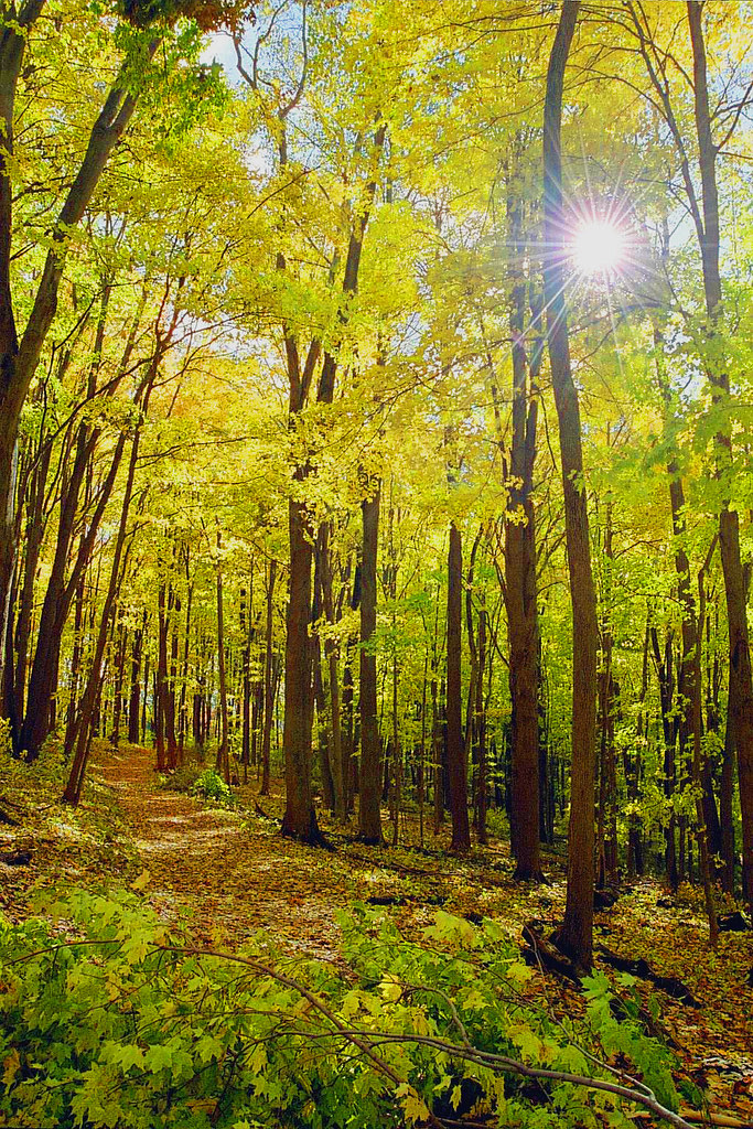
Fall Sunburst
Latrobe Reservoir
We're here!
Tub Mill Creek
Farm near Fort Palmer Pa

Buttermilk Falls -- Indiana County, Pennsylvania
Fall2010 462

Laurel Ridge State Park -- Pennsylvania
2014 Summer trip back to the homeland of western PA.
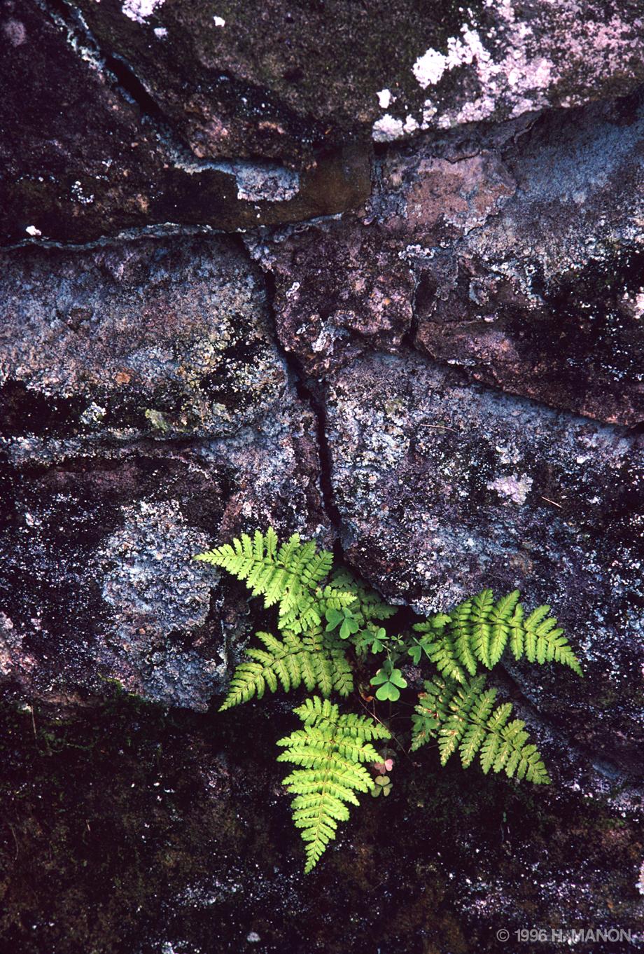
Glass and Green
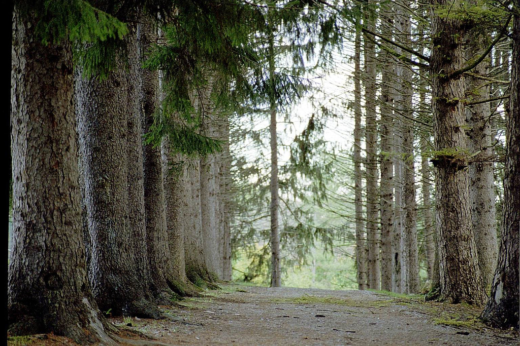
Tree Lined Lane

Buttermilk Falls, PA
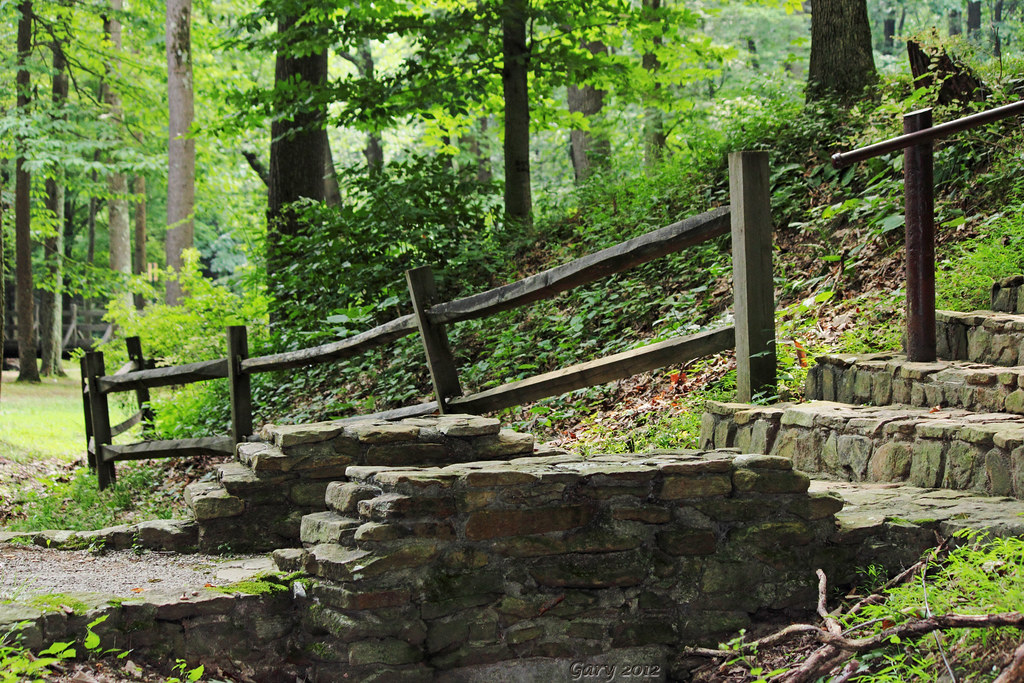
Stairway to Heaven......?
Hoffer's spring

Billy Bob, an African Pygmy Goat
Topographic Map of Maple St, Bolivar, PA, USA
Find elevation by address:

Places near Maple St, Bolivar, PA, USA:
901 Creek Rd
Bolivar
Midget Camp Road
PA-, New Florence, PA, USA
5510 Pa-711
Fairfield Township
Martha Dr, Derry, PA, USA
Brenizer
Blairsville River Trail
Wilpen Rd, Ligonier, PA, USA
116 Berkley Rd
Millwood Rd, Derry, PA, USA
Seger Rd, Derry, PA, USA
876 Pa-271
Ligonier Township
Ligonier, PA, USA
Gravel Hill Rd, Ligonier, PA, USA
272 Pizza Barn Rd
Derry
Derry Township
Recent Searches:
- Elevation of Crocker Dr, Vacaville, CA, USA
- Elevation of Pu Ngaol Community Meeting Hall, HWHM+3X7, Krong Saen Monourom, Cambodia
- Elevation of Royal Ontario Museum, Queens Park, Toronto, ON M5S 2C6, Canada
- Elevation of Groblershoop, South Africa
- Elevation of Power Generation Enterprises | Industrial Diesel Generators, Oak Ave, Canyon Country, CA, USA
- Elevation of Chesaw Rd, Oroville, WA, USA
- Elevation of N, Mt Pleasant, UT, USA
- Elevation of 6 Rue Jules Ferry, Beausoleil, France
- Elevation of Sattva Horizon, 4JC6+G9P, Vinayak Nagar, Kattigenahalli, Bengaluru, Karnataka, India
- Elevation of Great Brook Sports, Gold Star Hwy, Groton, CT, USA