Elevation map of Westmoreland County, PA, USA
Location: United States > Pennsylvania >
Longitude: -79.470388
Latitude: 40.2353963
Elevation: 358m / 1175feet
Barometric Pressure: 97KPa
Elevation Map:
Satellite Map:
Related Photos:
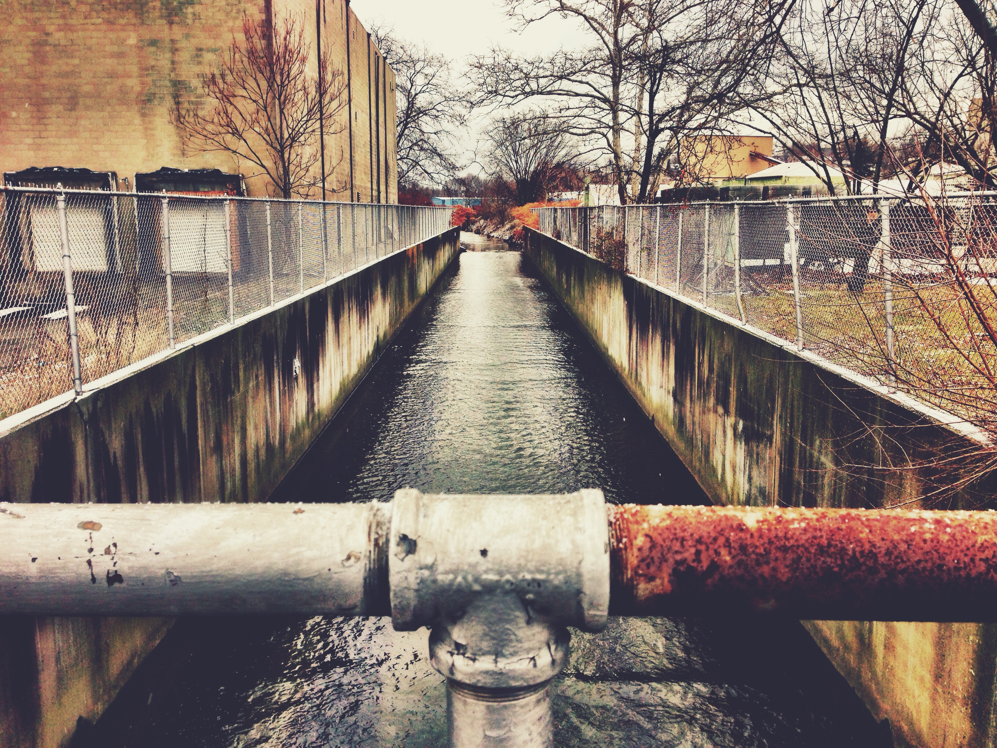
Greensburg Block Yard - Greensburg, PA

Bright, Sunny Day

First Place!
West Overton Village, Scottdale, PA

Fallen Flower
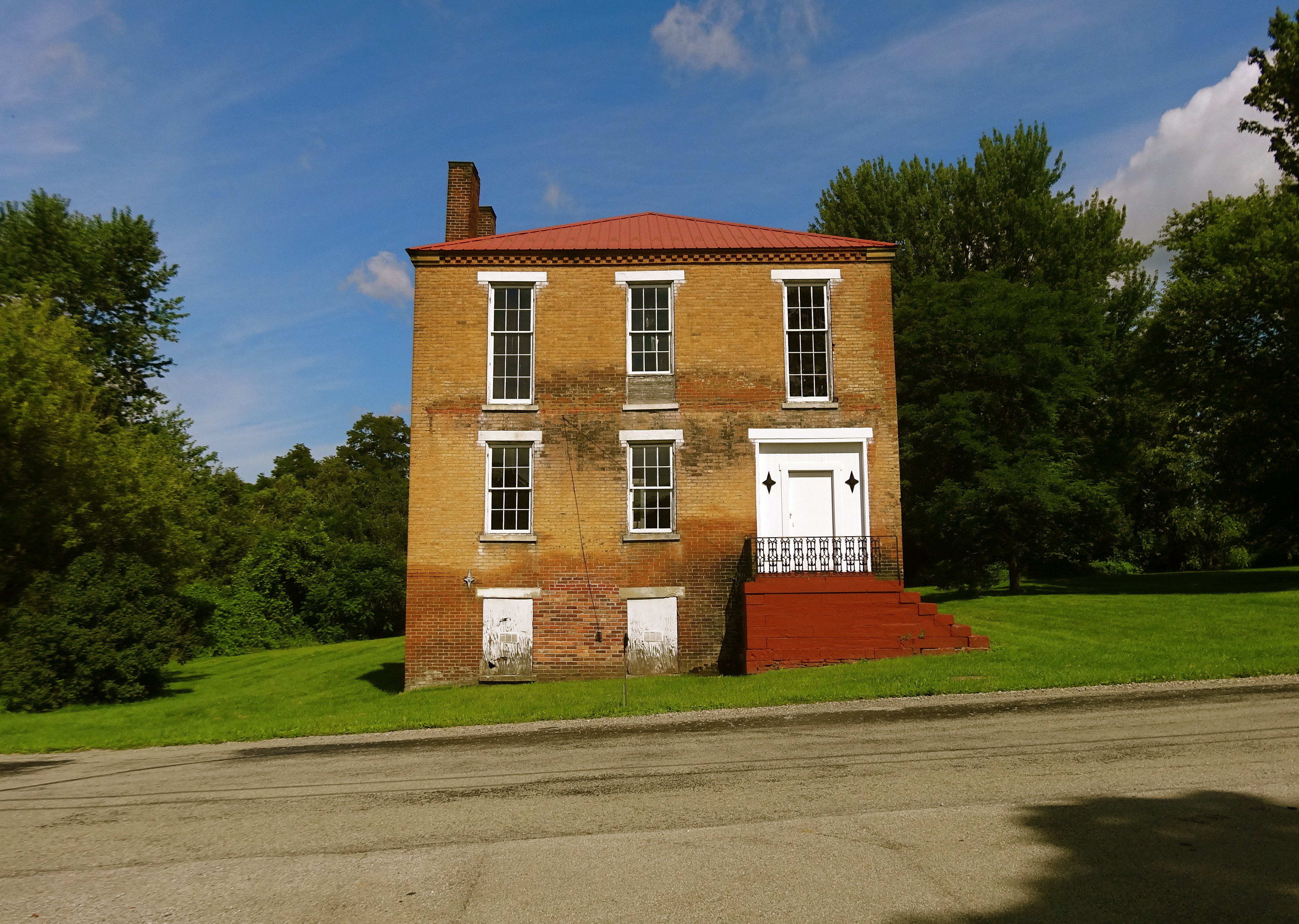
Ruff house, Ruffsdale, PA.
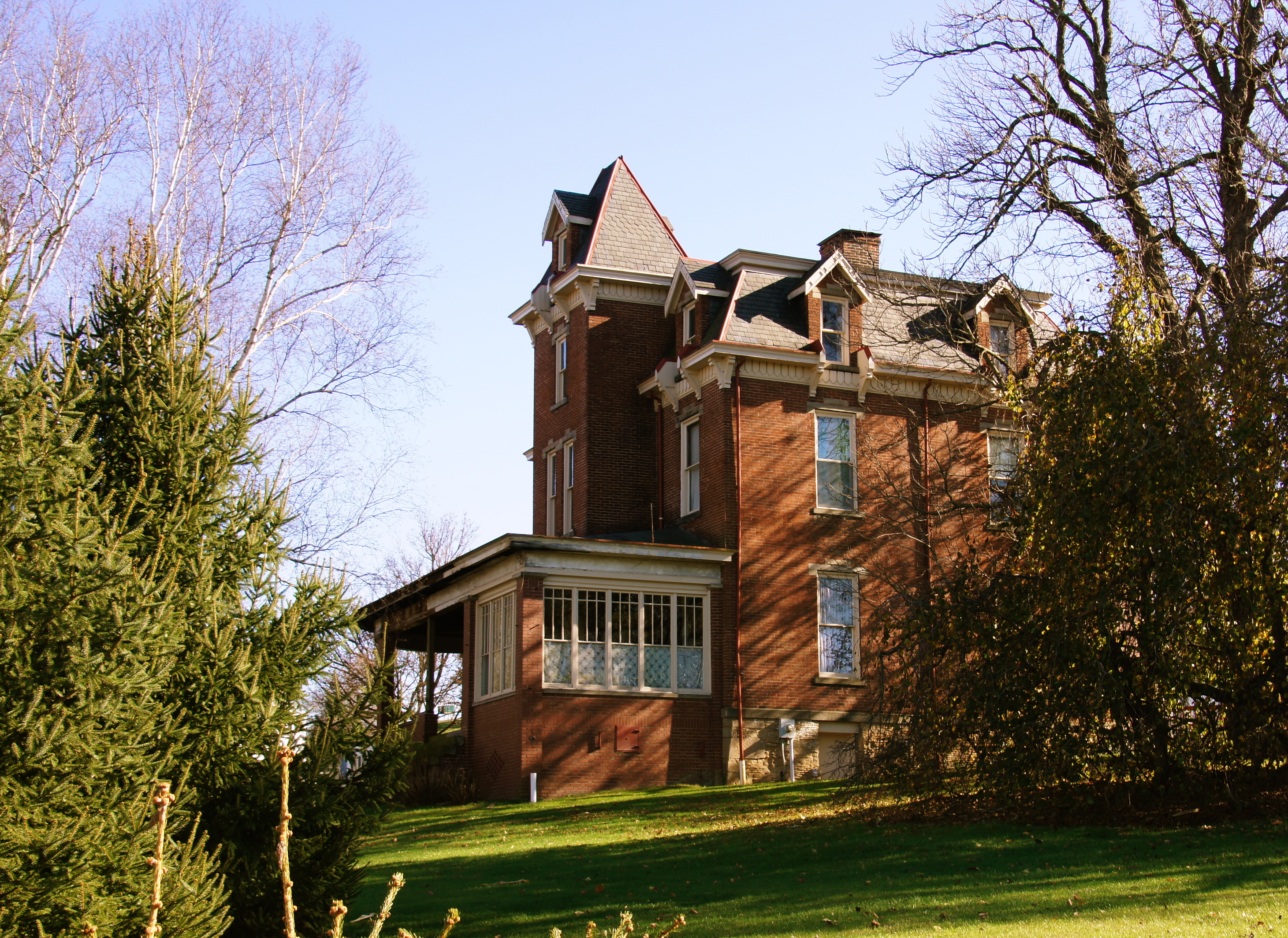
D.L. Ruff Homestead, Tarrs, PA
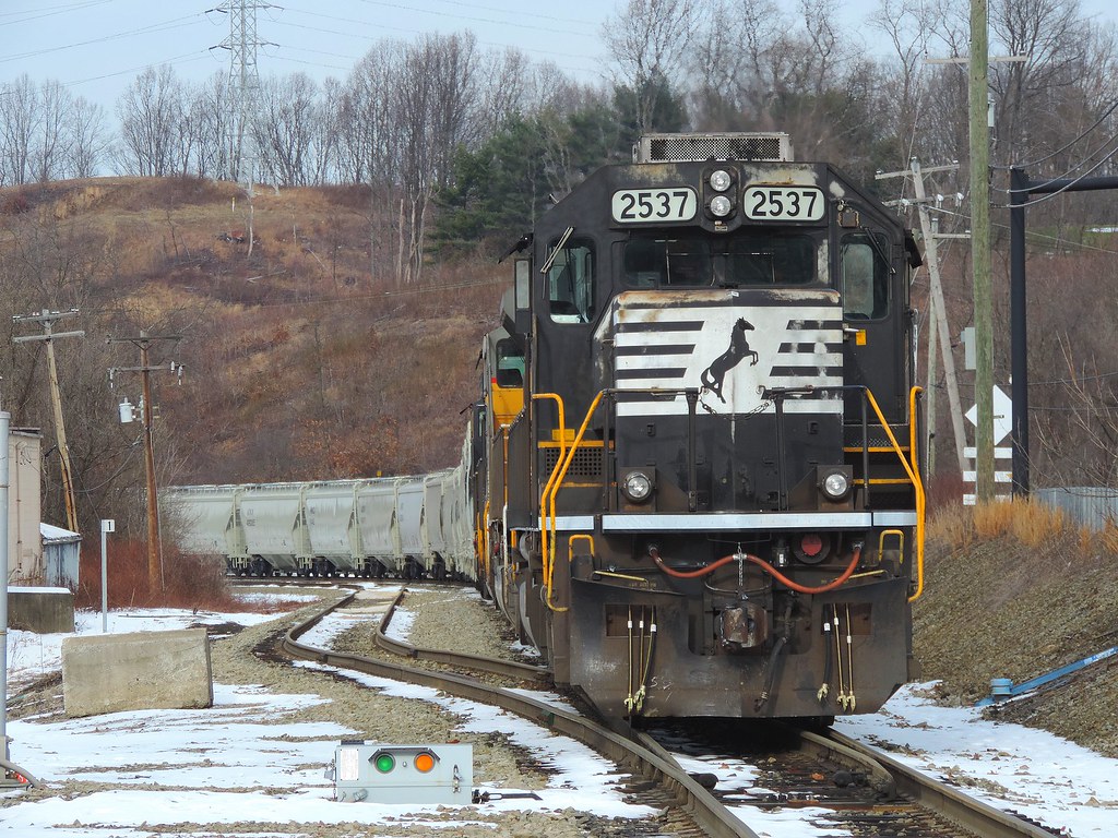
NS 2537

Mysterious Lights

Common Eastern Bumble Bee, (Bombus impatiens) female vs. Beetle (Antherophagus ochraceus)

St. Vincent

Lunch time view from my cubicle. The #blueangels are flying around the #Kennametal campus as they prepare for the #Latrobe air show this weekend. I am having trouble getting back to work.

Common Eastern Bumble Bee, (Bombus impatiens) female vs. Beetle (Antherophagus ochraceus)

Setting Sun's Rays

Keep Pulling

St. Vincent, Latrobe, PA

Yours Truly, 1976

Yellow!

The Round Up
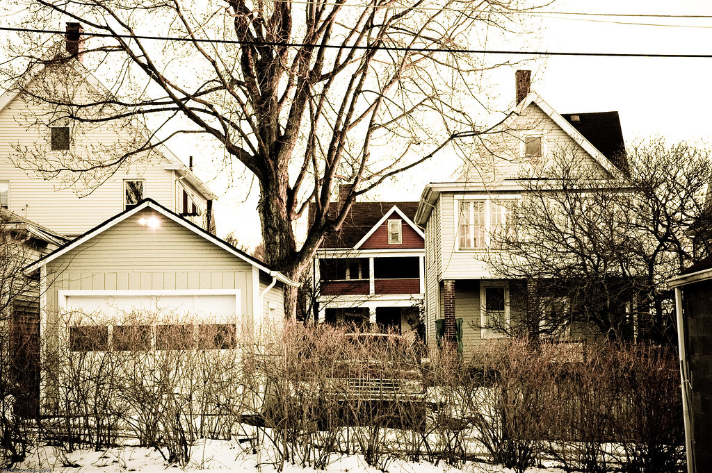
The Neighborhood
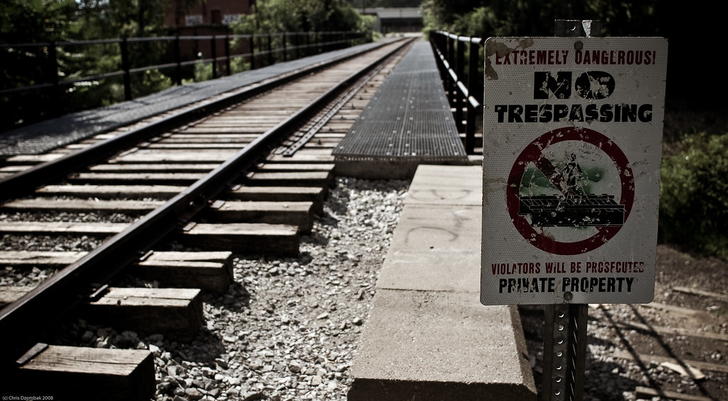
No Trespassing

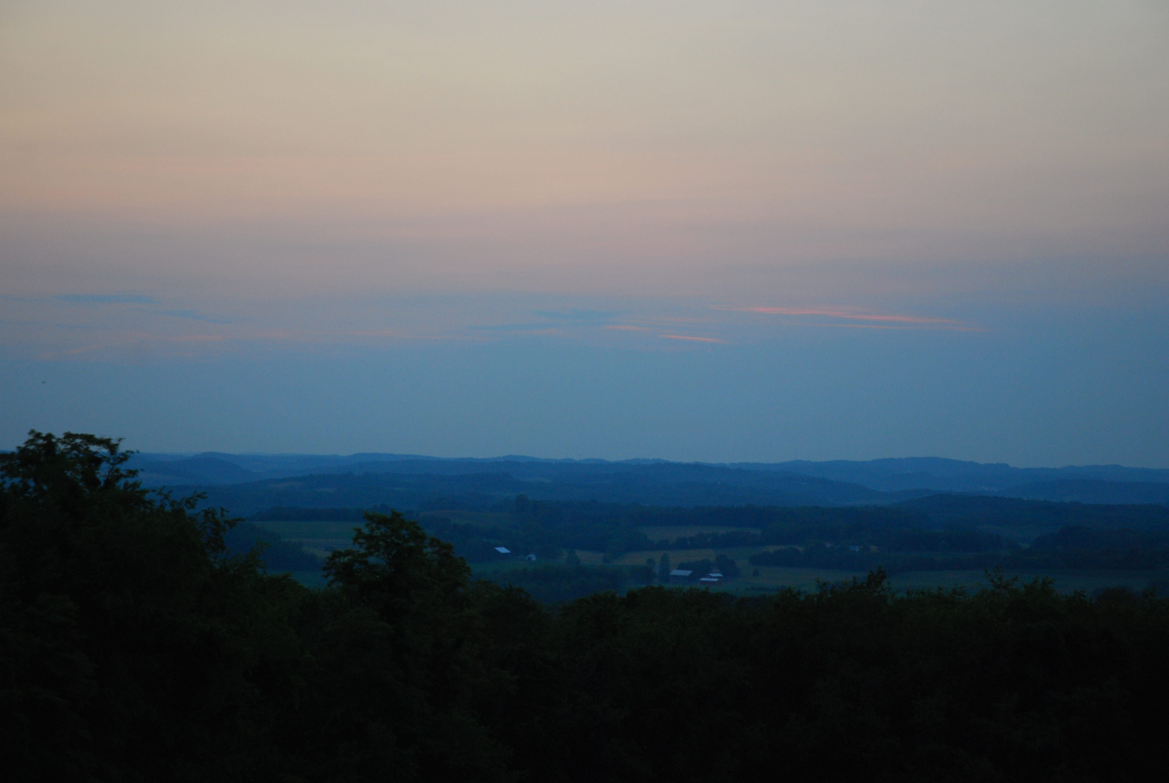
Distant City

Little known fact: there is a 120-mile-long black hole in the middle of Pennsylvania!

Fall Colors Near Donegal

Farm Near Donegal

Frosty Morning
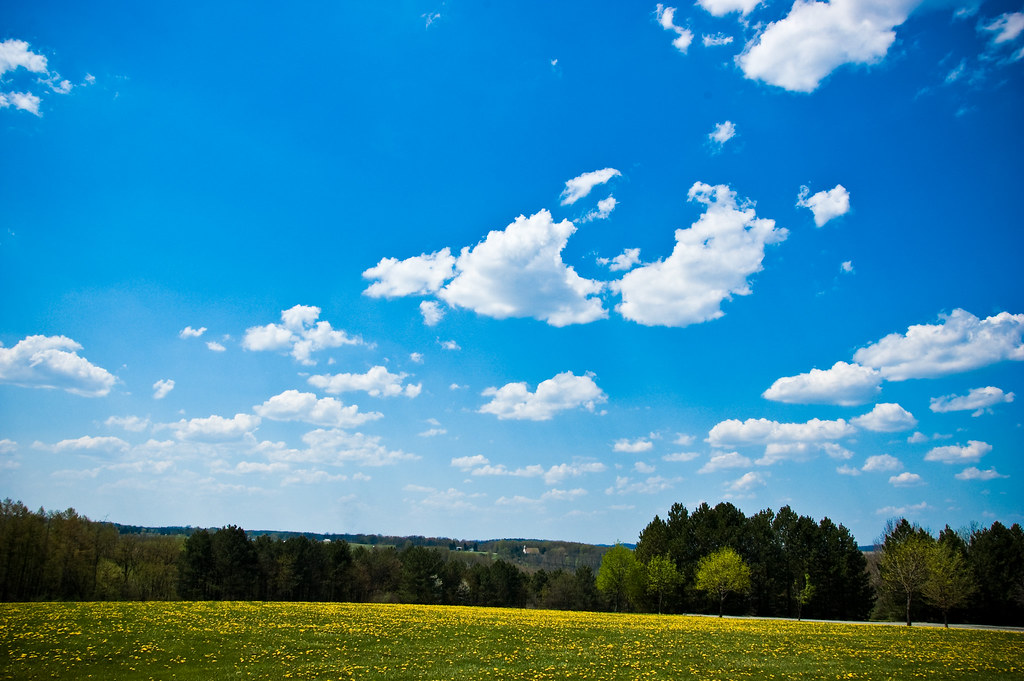
Dandelion Fields
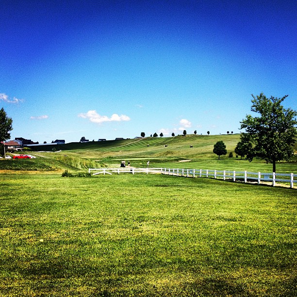
Day drinking with the family is fantastic. I could get used to this not working thing... #golfcourse #summer #sky #grass #green #instagood #iphonesia #photooftheday

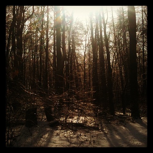
Twisted Trees in the Fog

Pittsburgh from Acme, PA
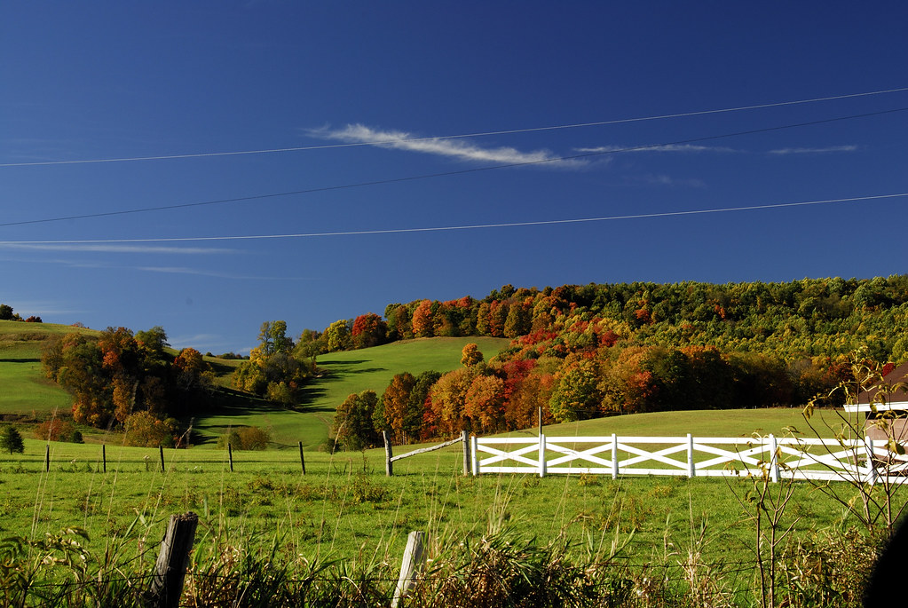
Fall Colors Near Donegal
Morning in the Laurel Highlands
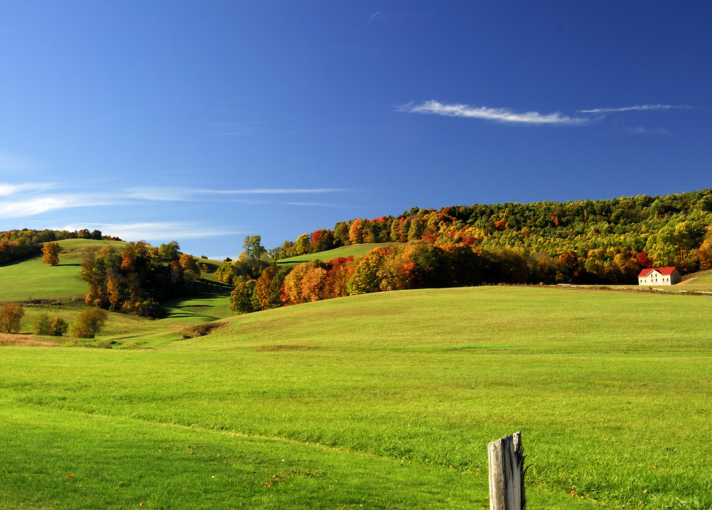
Fall Colors Near Donegal

Light Rays In the Sky

Fall Colors at Lake Donegal
Fairview Valley

Scenic Walk

Church in the Hills
Here comes the sun...

Twin Lakes Park Series

Loyalhanna Creek

Waiting for spring
Topographic Map of Westmoreland County, PA, USA
Find elevation by address:

Places in Westmoreland County, PA, USA:
Hempfield Township
Mount Pleasant Township
Derry Township
Ligonier Township
Unity Township
Murrysville
Greensburg
North Huntingdon Township
Penn Township
South Huntingdon Township
East Huntingdon Township
Rostraver
Washington Township
Sewickley Township
Donegal Township
Fairfield Township
Salem Township
Irwin
New Kensington
Loyalhanna Township
Delmont
Latrobe
Oklahoma
Bell Township
St. Clair Township
Trafford
Allegheny Township
Vandergrift
Gravel Hill Rd, Ligonier, PA, USA
PA-, Ligonier, PA, USA
Durst Rd, Irwin, PA, USA
Western Ave, Trafford, PA, USA
West Newton
Arnold
Mount Pleasant
Reed Way, Youngwood, PA, USA
Cook Township
Derry
North Irwin
Crabtree
Monessen
Seward
Manor
New Alexandria
Places near Westmoreland County, PA, USA:
United
PA-, Mt Pleasant, PA, USA
162 County Park Rd
Calumet-norvelt
Calumet-norvelt
205 Trail 573
Kecksburg Space Acorn
Kecksburg Rd, Mt Pleasant, PA, USA
135 Ivy Ln
131 Ivy Ln
Mount Pleasant Township
PA-, Hunker, PA, USA
178 Mennonite Camp Rd
Laurelville - A Christian Retreat Center
Nino's Restaurant
PA-31, Mt Pleasant, PA, USA
Reed Way, Youngwood, PA, USA
710 Park Ave
214 Washington St
Mount Pleasant
Recent Searches:
- Elevation of Corso Fratelli Cairoli, 35, Macerata MC, Italy
- Elevation of Tallevast Rd, Sarasota, FL, USA
- Elevation of 4th St E, Sonoma, CA, USA
- Elevation of Black Hollow Rd, Pennsdale, PA, USA
- Elevation of Oakland Ave, Williamsport, PA, USA
- Elevation of Pedrógão Grande, Portugal
- Elevation of Klee Dr, Martinsburg, WV, USA
- Elevation of Via Roma, Pieranica CR, Italy
- Elevation of Tavkvetili Mountain, Georgia
- Elevation of Hartfords Bluff Cir, Mt Pleasant, SC, USA