Elevation of Manzanita Rd, Lakeside, CA, USA
Location: United States > California > San Diego County > Lakeside >
Longitude: -116.95358
Latitude: 32.886941
Elevation: 222m / 728feet
Barometric Pressure: 99KPa
Elevation Map:
Satellite Map:
Related Photos:

Trail or Traffic

Santee Lakes on the Winter Solstice With Sun Flare - Infrared

Rocks atop a mountain at night.

Trees Of Santee Lakes On A Morning With Clouds
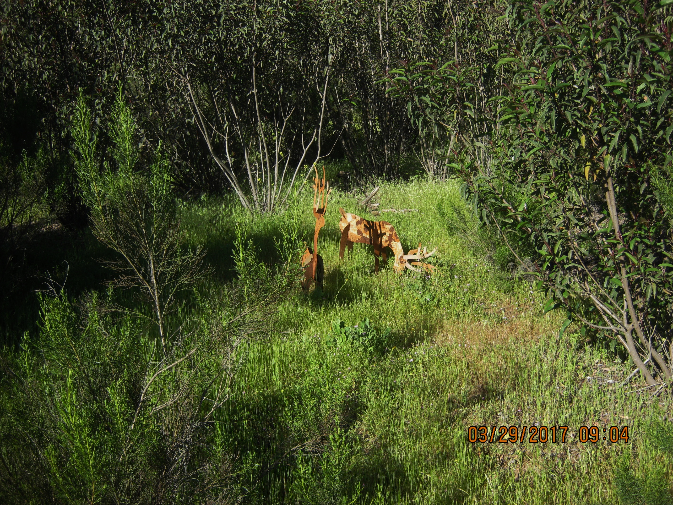
Deer may safely graze in Damon Lane Co. Park 3-29-17 (FOR A CLOSER VIEW RIGHT CLICK ON THE IMAGE)

backyard view
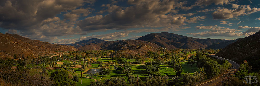
Singing Hills

Magic Mushrooms

Cowles Mountain Sunset

1929 Ford 4-AT-E Trimotor

Peeking through an opening between two big rocks.
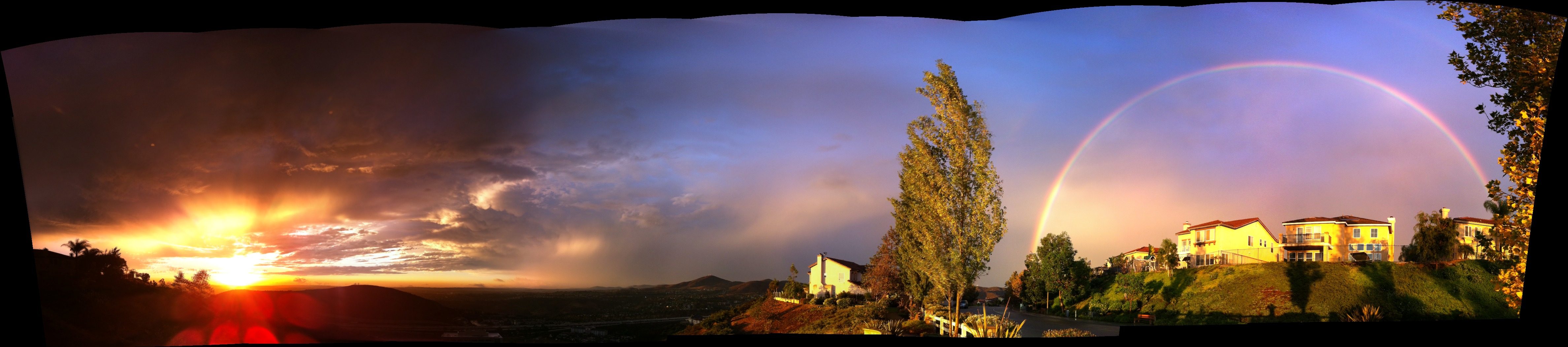
Full-on Double Rainbow Sunset iPhone Panorama

Owl Encounter

1929 Ford 4-AT-E Trimotor

Female Wood Duck

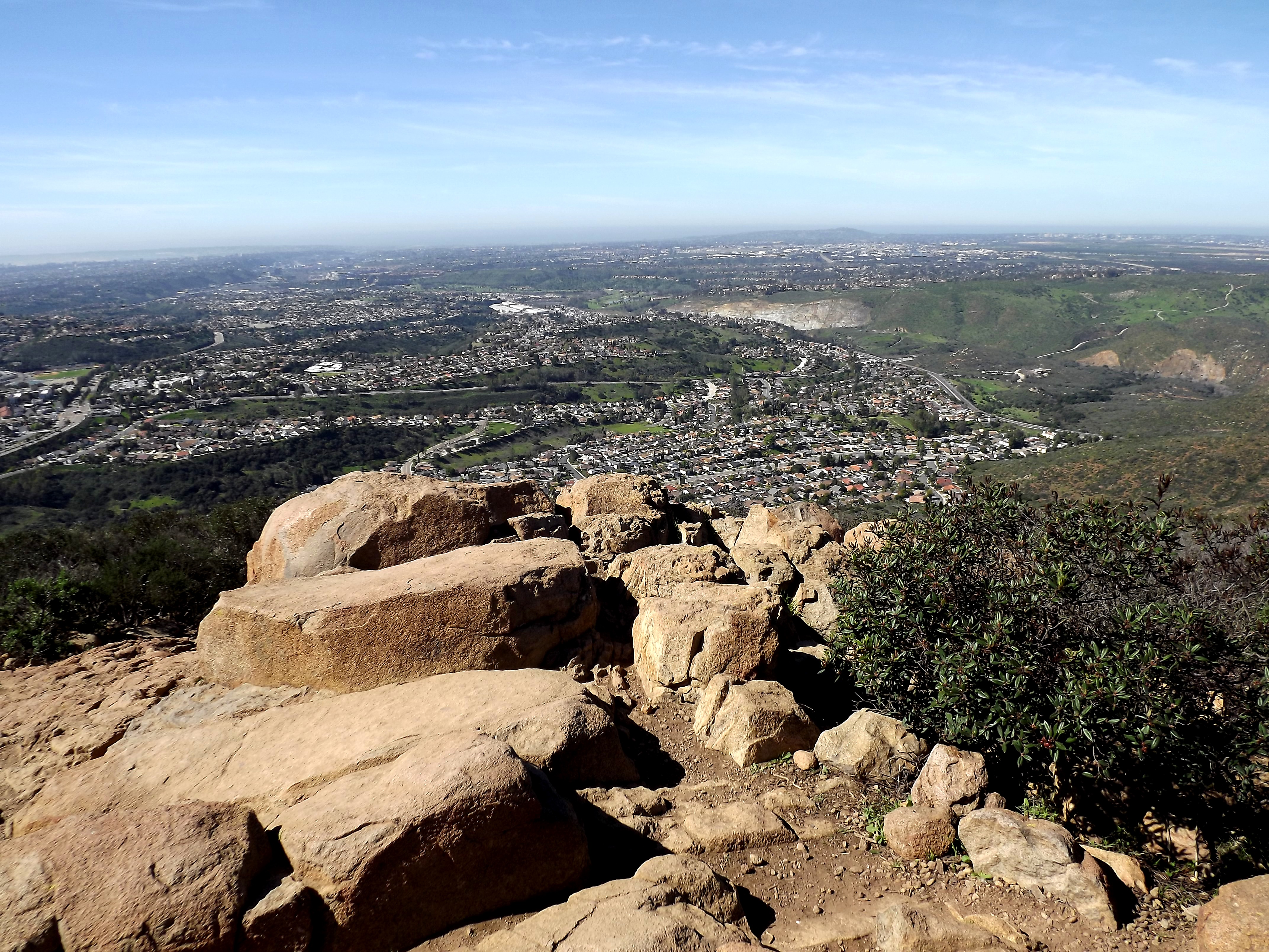
Evening view from atop Blue Rock mountain in Santee, California.

Delicate Dance (Egretta Thula), Snowy Egret

Fiona Flamingo

Mega Cloud

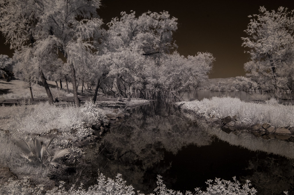
Saturday In The Park - Infrared
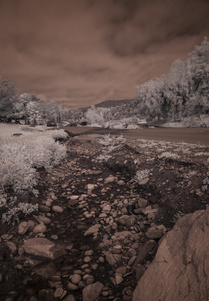
Oak Creek Running Across Oak Creek Drive IR

Tree Reflections At Lindo Lake #2

Tree Reflections At Santee Lakes

Oak Creek Flowing South

San Diego River - IR

Reflecting On Santee Lake Number 6

Coots at Santee Lakes

cloudy morning...

PEDB20170110-026-2.jpg
Trees And Vegetation at Lindo Lake
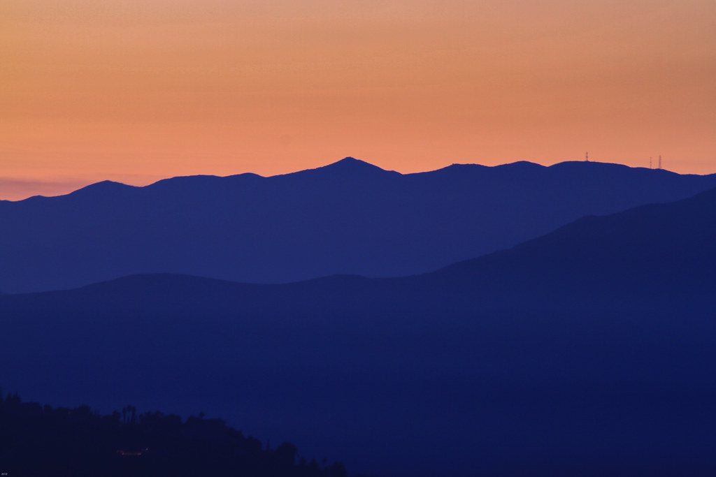
Purple Mountains

Cowles Sunrise

Lakeside Sky on Fire - Explored

Oak Canyon Trail - Mission Trails Park

Oak Canyon Trail - Mission Trails Park
There are more mountains in our future.

PEDB20130402-056.jpg

Oak Canyon Trail - Mission Trails Park

PEDB20170404-055.jpg

PEDB20140610-032.jpg
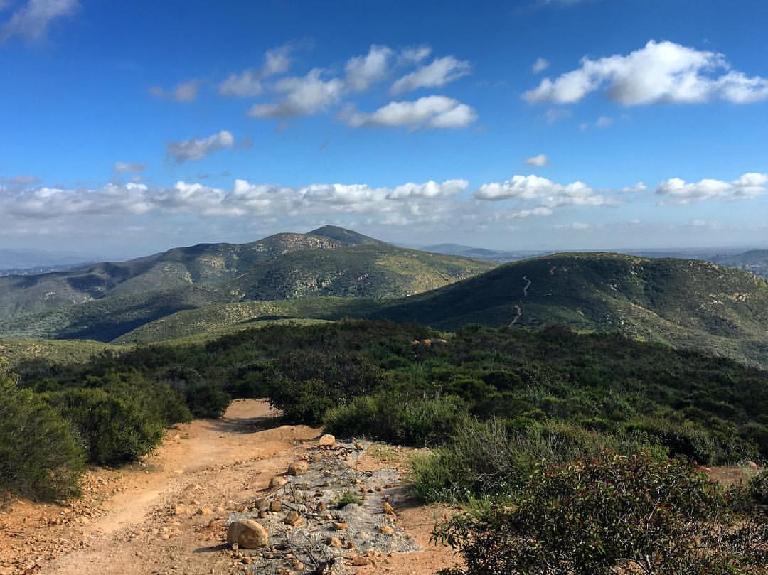
looking sw from summit
Topographic Map of Manzanita Rd, Lakeside, CA, USA
Find elevation by address:

Places near Manzanita Rd, Lakeside, CA, USA:
Eucalyptus Hills Dr, Lakeside, CA, USA
12032 Serena Rd
10739 Ironwood Ave
Lakeside, CA, USA
San Vicente Reservoir
Louis Stelzer County Park
Goodan Ranch
14560 Willow Rd
Rolling Hills Boarding Stables
Sycamore Estates
Stonebridge Parkway
11520 Edgewood Pl
Old Creek Road
14271 Danielson St
14100 Danielson St
13336 Whitewater Dr
Iron Mountain Trail
Ronan Dr, Ramona, CA, USA
Iron Mountain Trail Head
13226 Waltham Ave
Recent Searches:
- Elevation of Lampiasi St, Sarasota, FL, USA
- Elevation of Elwyn Dr, Roanoke Rapids, NC, USA
- Elevation of Congressional Dr, Stevensville, MD, USA
- Elevation of Bellview Rd, McLean, VA, USA
- Elevation of Stage Island Rd, Chatham, MA, USA
- Elevation of Shibuya Scramble Crossing, 21 Udagawacho, Shibuya City, Tokyo -, Japan
- Elevation of Jadagoniai, Kaunas District Municipality, Lithuania
- Elevation of Pagonija rock, Kranto 7-oji g. 8"N, Kaunas, Lithuania
- Elevation of Co Rd 87, Jamestown, CO, USA
- Elevation of Tenjo, Cundinamarca, Colombia