Elevation of Danielson St, Poway, CA, USA
Location: United States > California > San Diego County > Poway >
Longitude: -117.02442
Latitude: 32.9416063
Elevation: 262m / 860feet
Barometric Pressure: 98KPa
Elevation Map:
Satellite Map:
Related Photos:

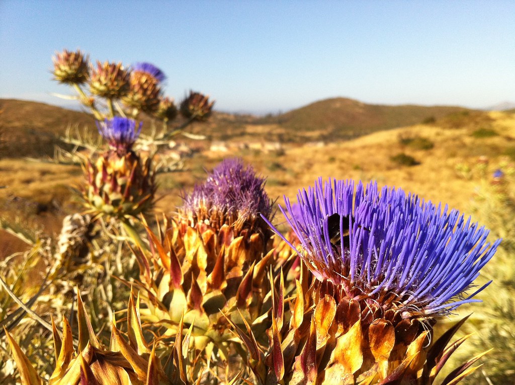
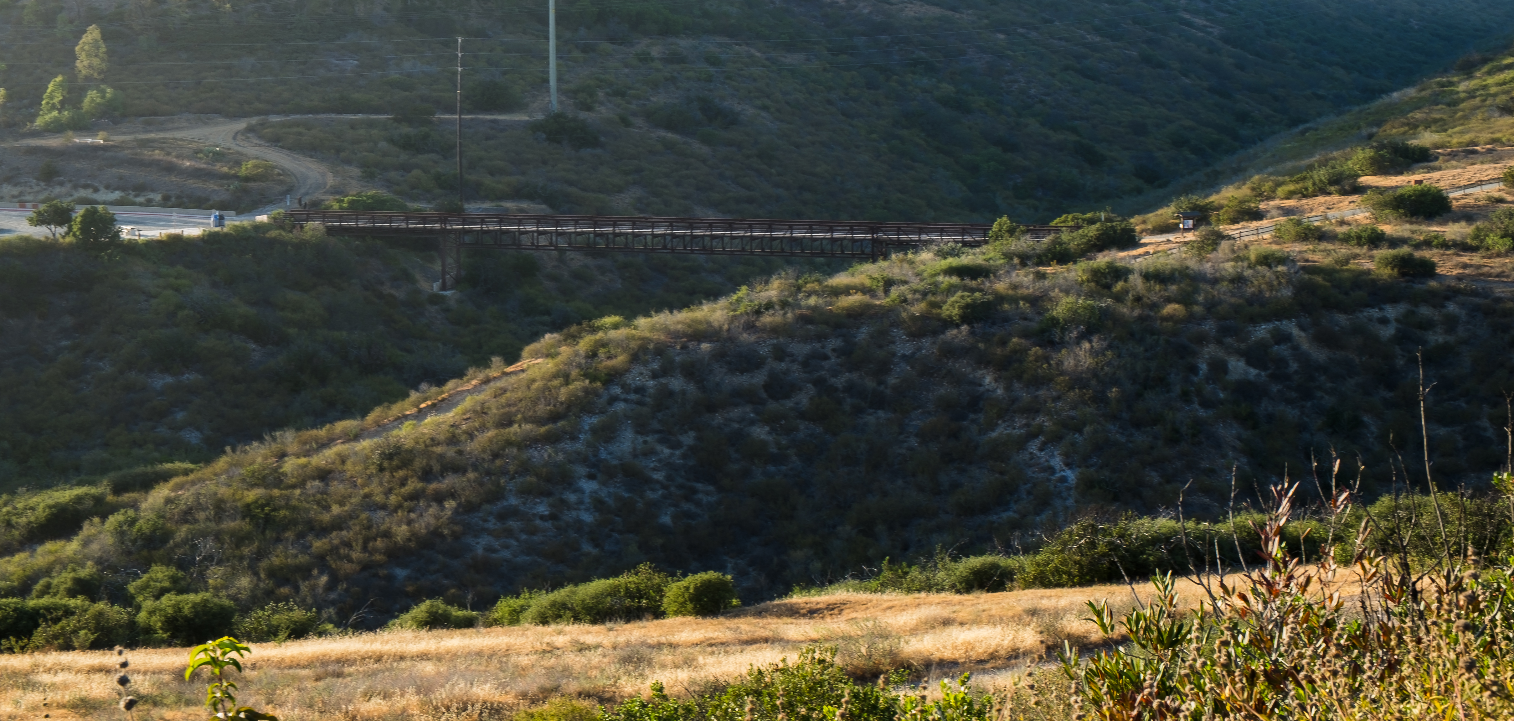
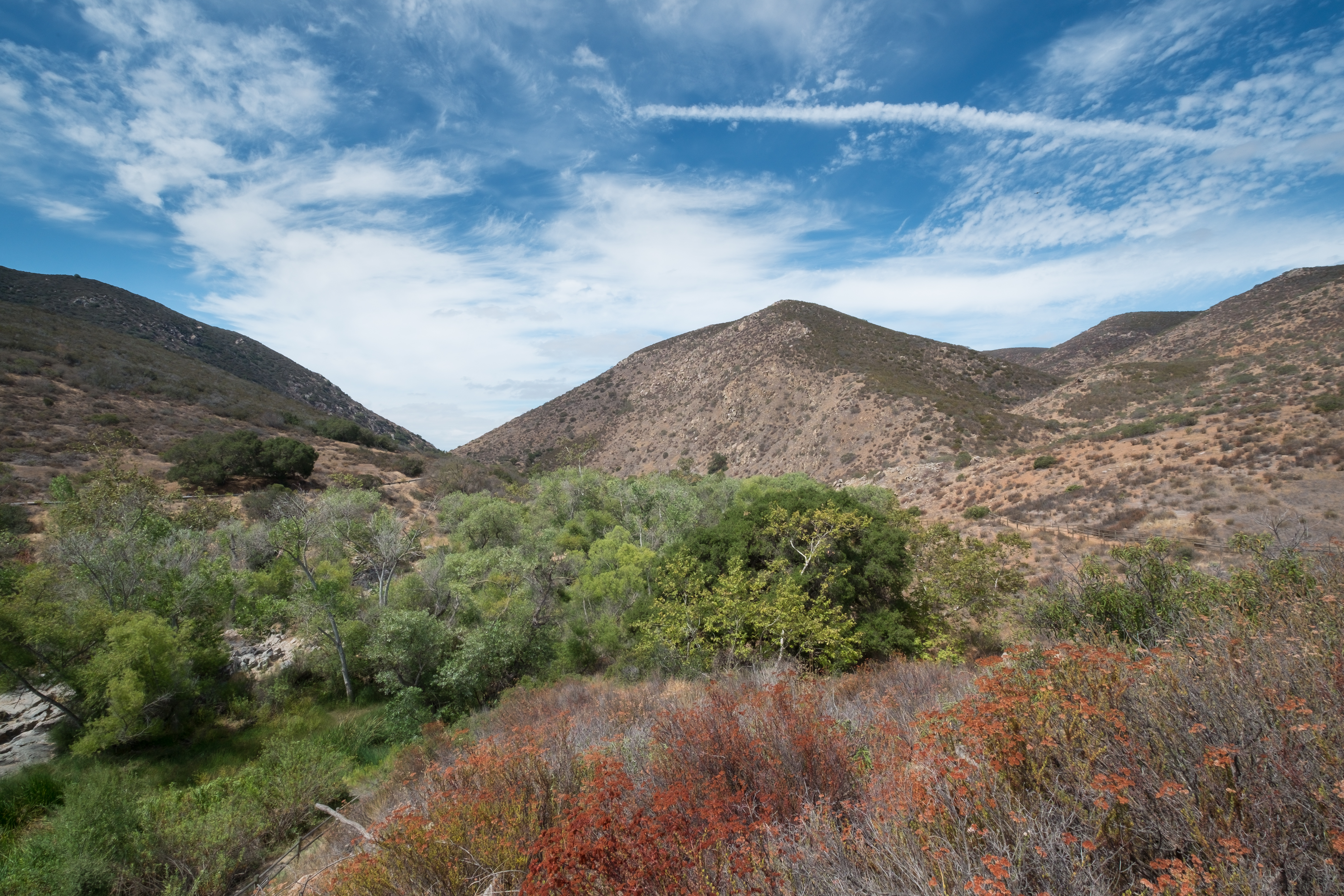
Trail or Traffic

Santee Lakes on the Winter Solstice With Sun Flare - Infrared

Rocks atop a mountain at night.

Adult Male Costa's Hummingbird in Ramona, California on July 1, 2018
Lake Jennings

Looking For Food
Another panoramic view from atop Blue Rock in Santee
Panoramic view of Santee at sunset.

Mulberry Leaf Patterns
Peeking through an opening between two big rocks.

Poway Lake

Family Time

Sunset View at Cowles Mountain – San Diego, California

The Flight of The Great Blue

Cowles Mountain Sunset
Panorama. View from the top of "Blue Rock" in northeastern Santee, California

Summit Silhouette at Cowles Mountain – San Diego, California

1929 Ford 4-AT-E Trimotor
On The Fence

Evening view from atop Blue Rock mountain in Santee, California.
Panorama. Another nighttime view from the top of Blue Rock in northeastern Santee, California

Tree Reflections At Santee Lakes

Lindo Lake - The Temp - Explored

Sun rays through the fog

Moonrise. Full moon rises above Ramona.
PEDB20190108-070
PEDB20190108-004
PEDB20190108-027
PEDB20190108-033
Dame I'm good... Photo by ME!! #Wine #tasting
6-18-11

PEDB20161206-040-HDR.jpg
PEDB20120703-032-Edit-Edit.jpg
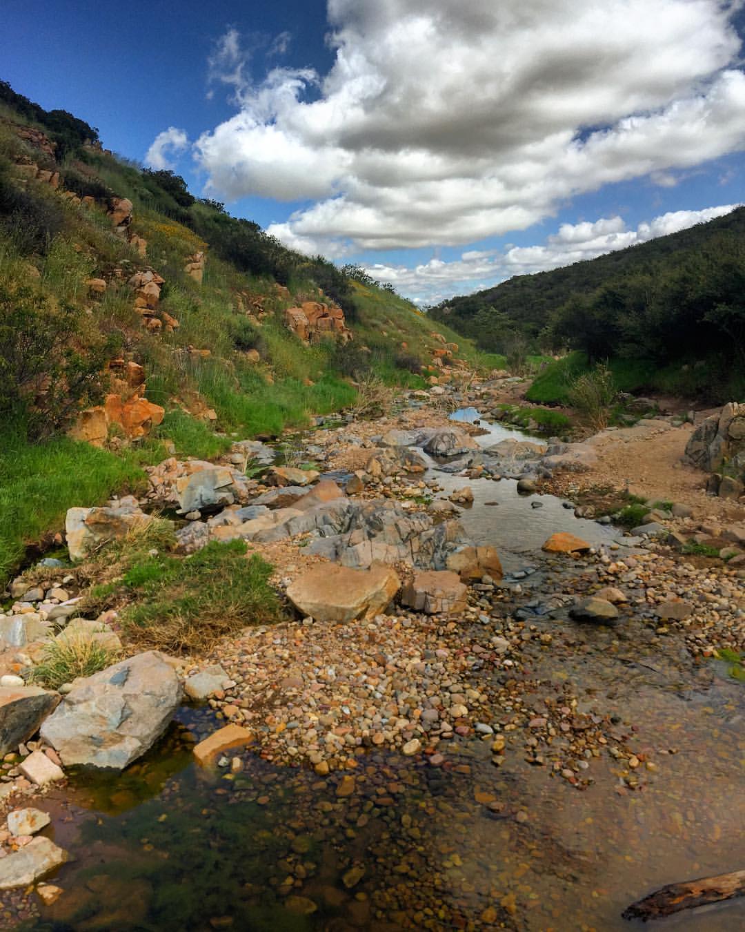
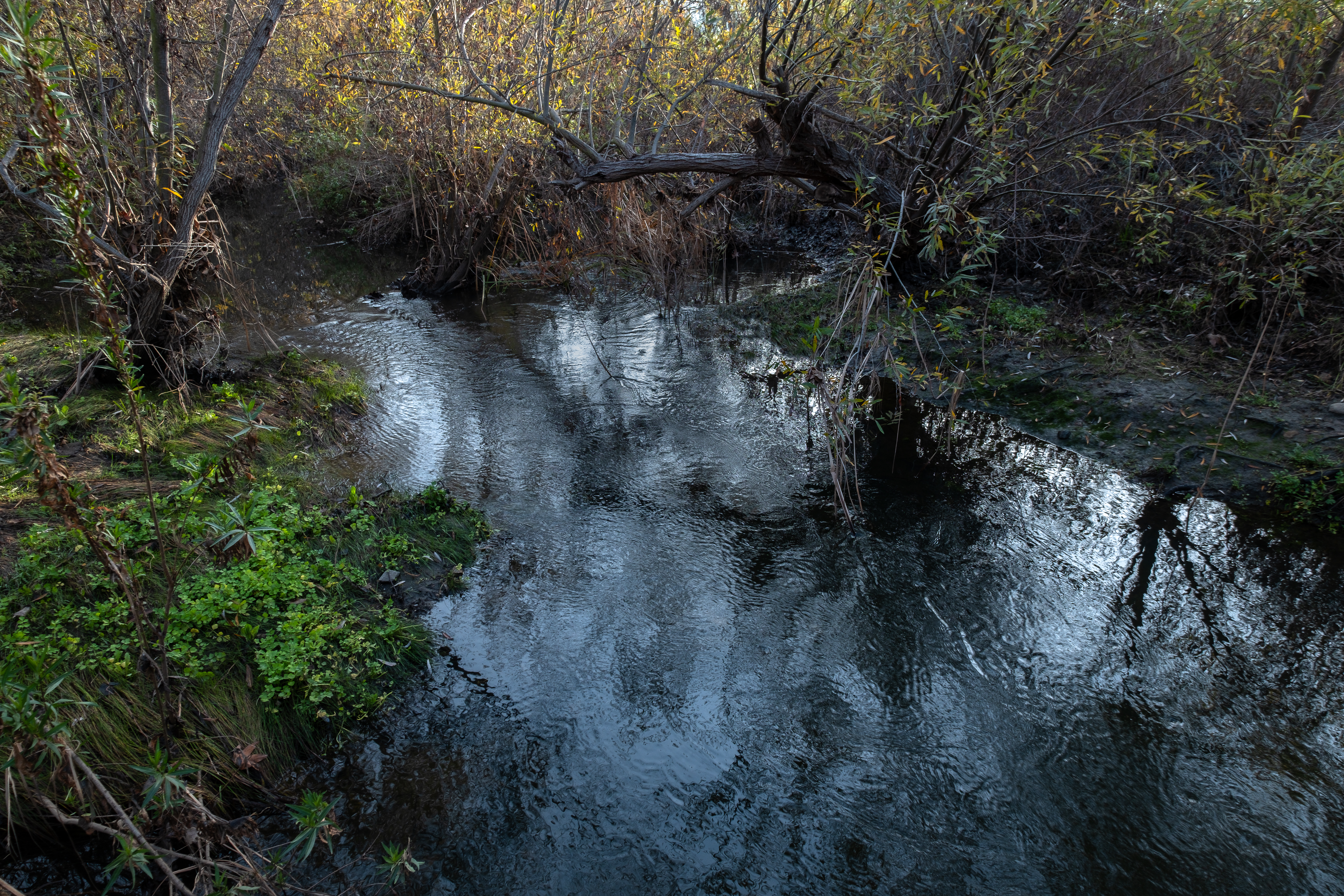
Water along Oak Canyon.
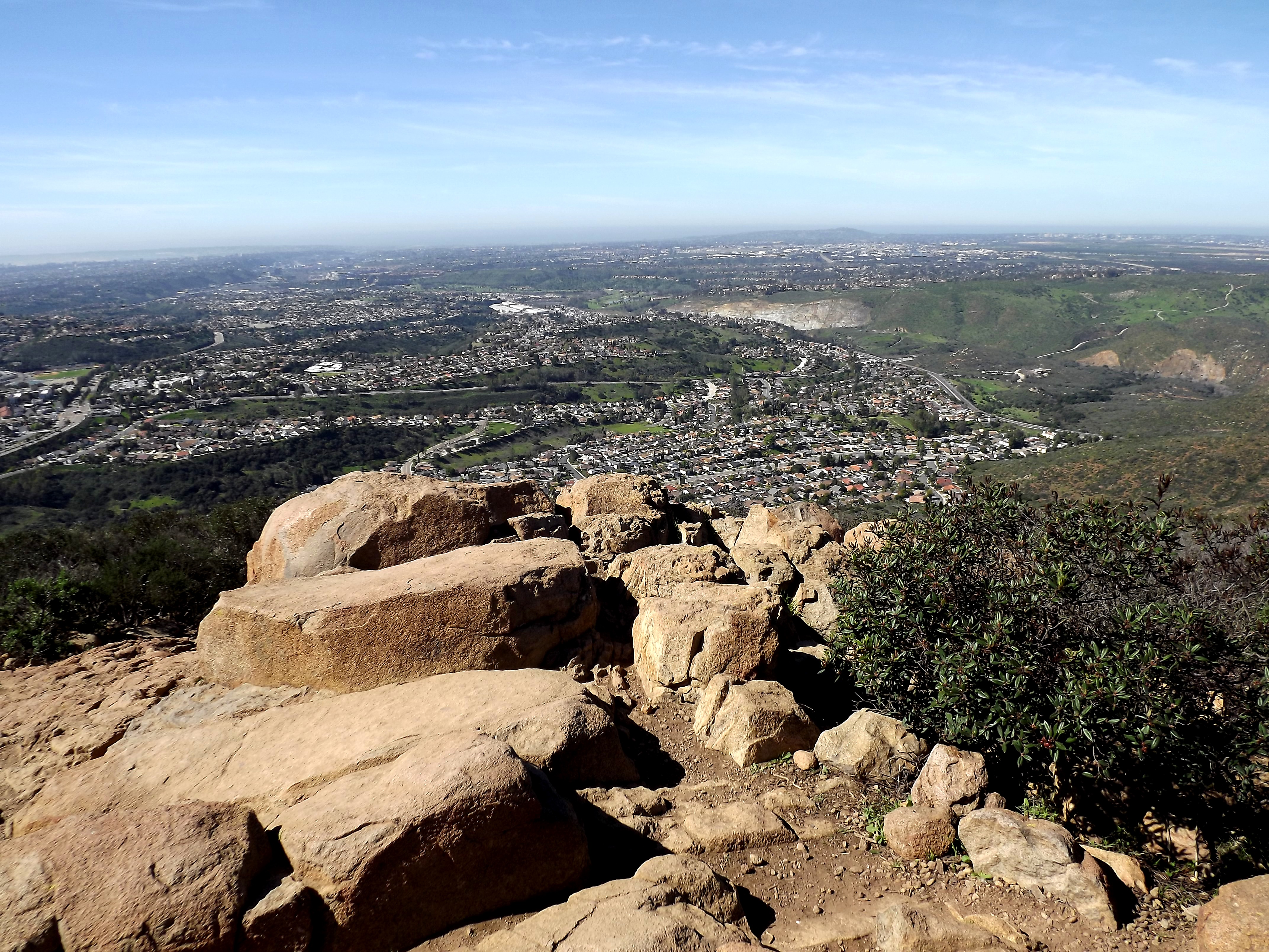
looking sw from summit
PEDB20130514-004.jpg
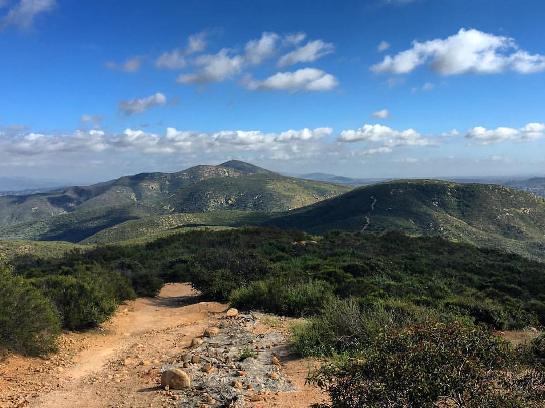
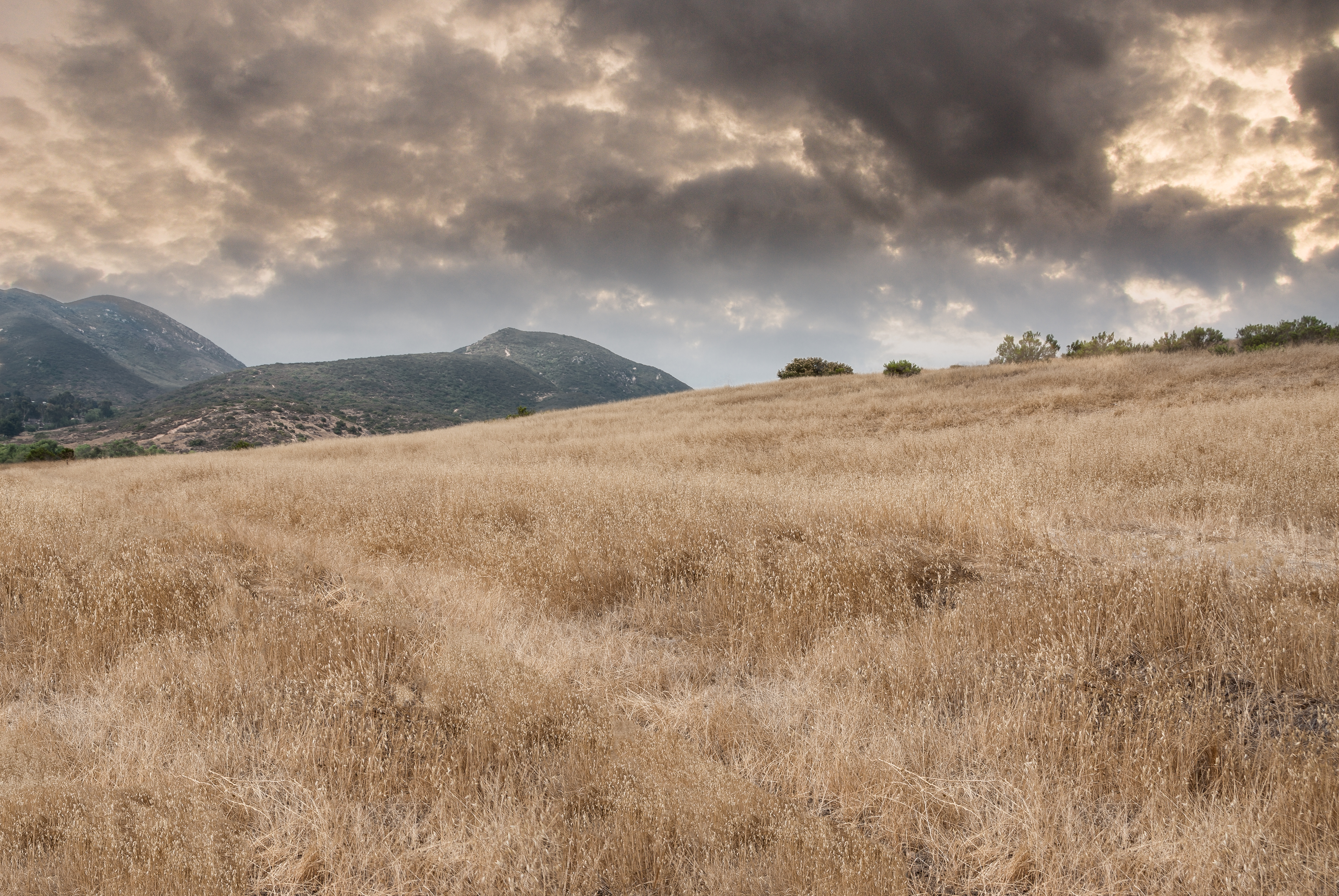
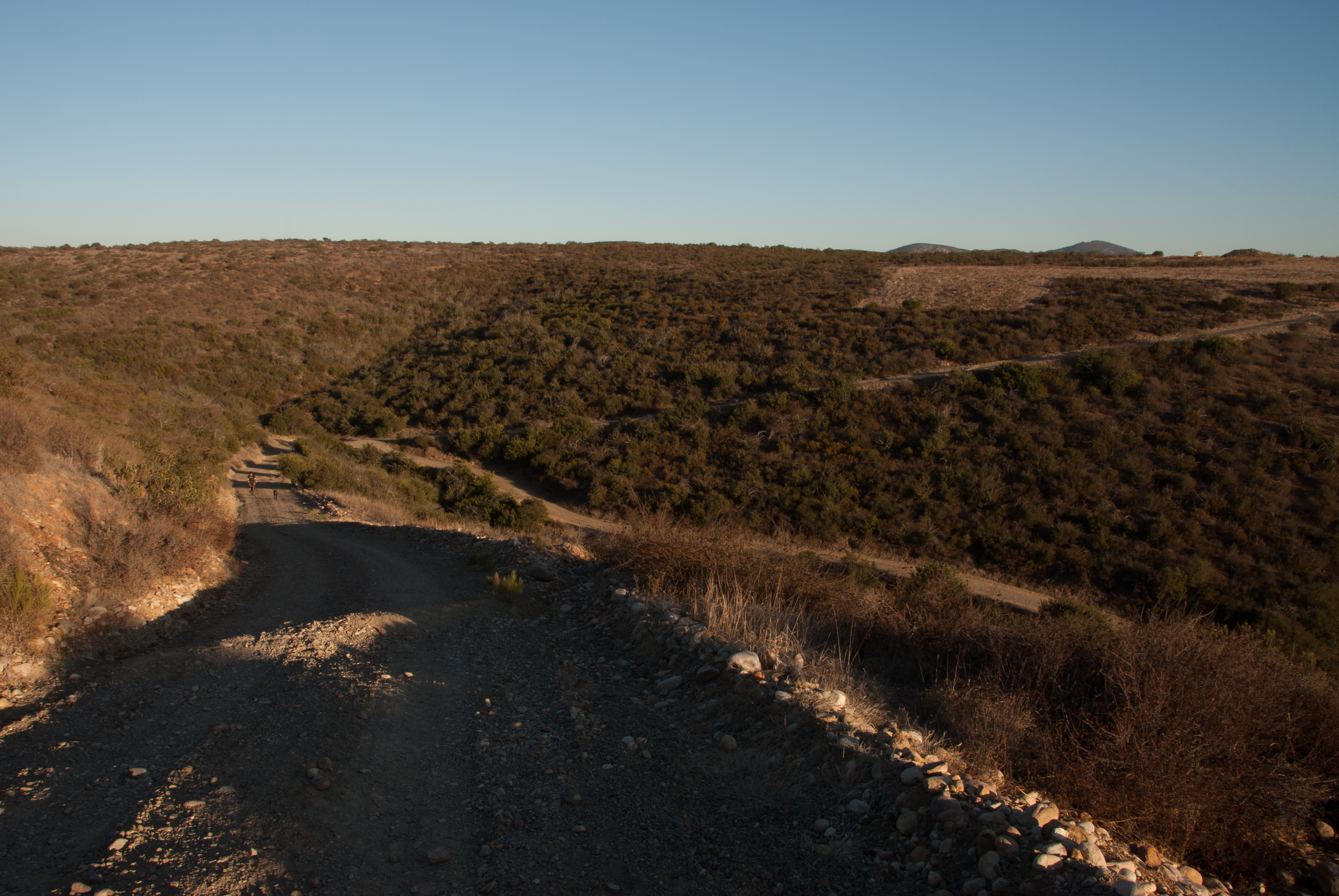
There are more mountains in our future.
PEDB20130402-036.jpg
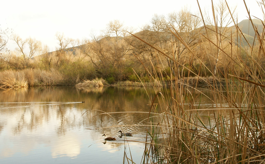
Kumeyaay Lake in Mission Trails
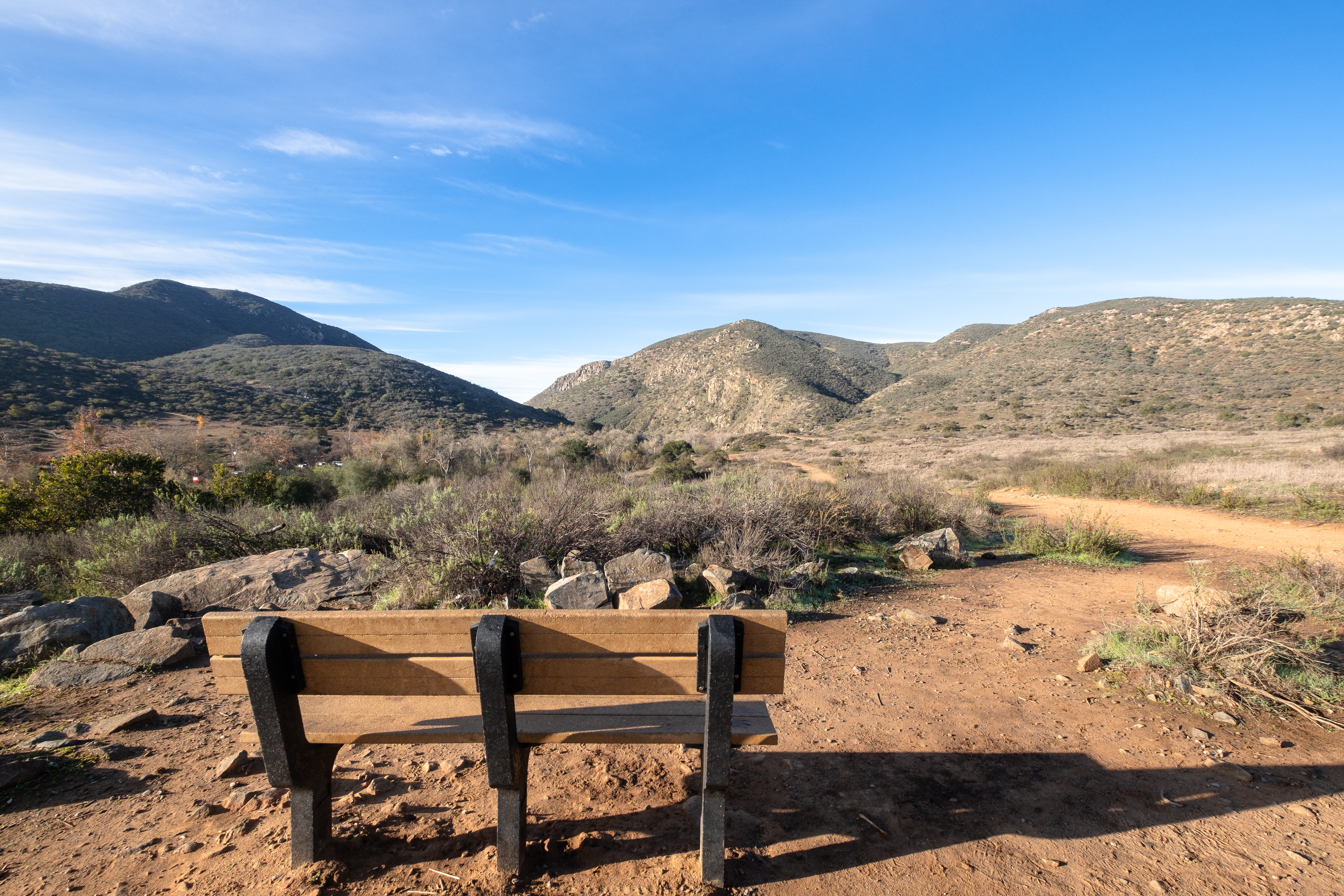
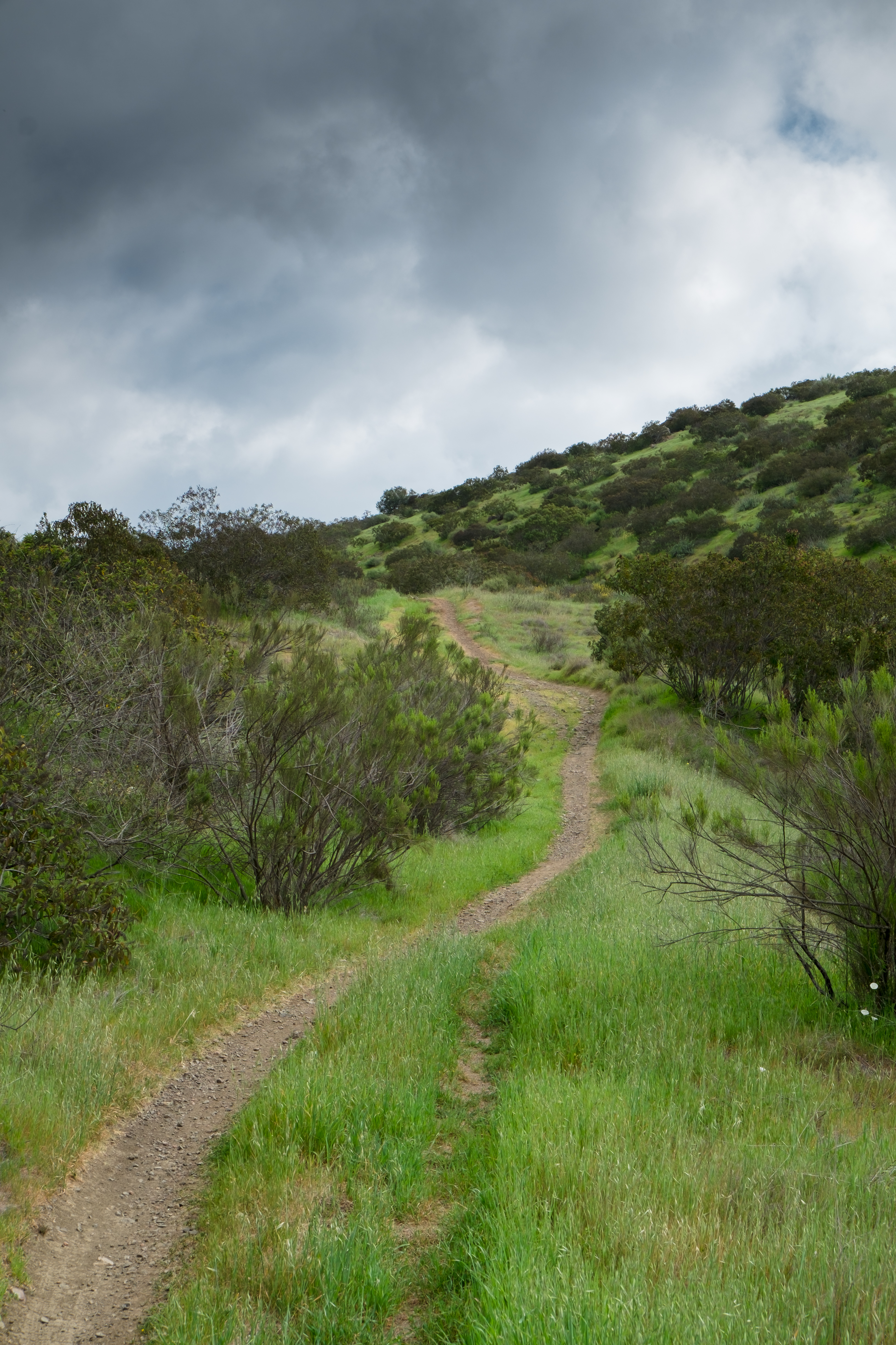
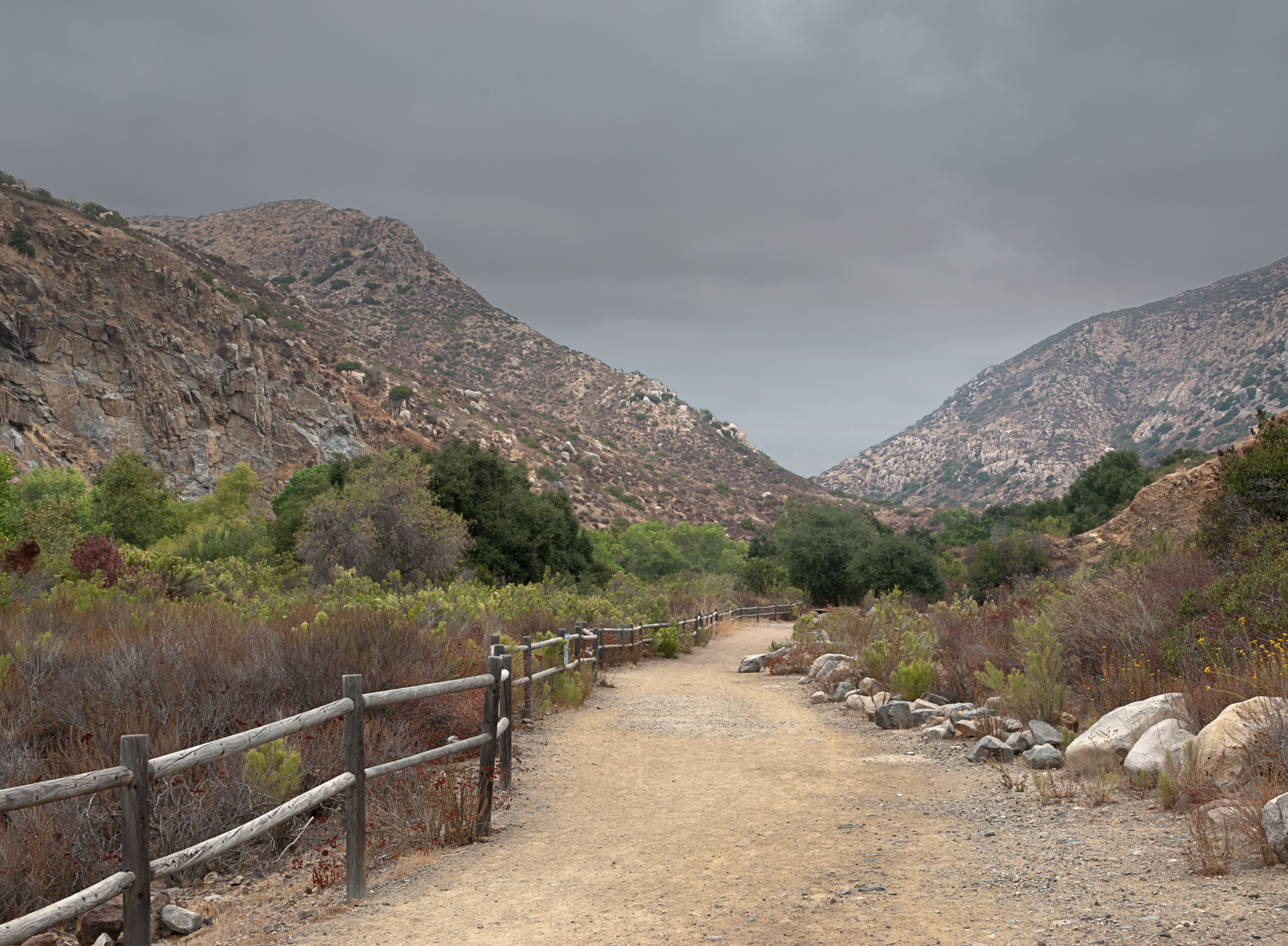
Oak Canyon Trail - Mission Trails Park
Visitor Center Loop Trail - Mission Trails Park
PEDB20121120-003.jpg
Topographic Map of Danielson St, Poway, CA, USA
Find elevation by address:

Places near Danielson St, Poway, CA, USA:
14271 Danielson St
13226 Waltham Ave
11520 Edgewood Pl
Sycamore Estates
Mossy Nissan Poway
Stonebridge Parkway
Old Creek Road
13513 Melissa Ln
Community Road
13409 Midland Rd
13000 Gregg St
13336 Whitewater Dr
Rolling Hills Boarding Stables
Poway
13711 Somerset Rd
11461 Stonecroft Terrace
Stonecroft Terrace
13103 Seiler St
12820 Dakota St
14514 Millards Rd
Recent Searches:
- Elevation of Unnamed Road, Respublika Severnaya Osetiya — Alaniya, Russia
- Elevation of Verkhny Fiagdon, North Ossetia–Alania Republic, Russia
- Elevation of F. Viola Hiway, San Rafael, Bulacan, Philippines
- Elevation of Herbage Dr, Gulfport, MS, USA
- Elevation of Lilac Cir, Haldimand, ON N3W 2G9, Canada
- Elevation of Harrod Branch Road, Harrod Branch Rd, Kentucky, USA
- Elevation of Wyndham Grand Barbados Sam Lords Castle All Inclusive Resort, End of Belair Road, Long Bay, Bridgetown Barbados
- Elevation of Iga Trl, Maggie Valley, NC, USA
- Elevation of N Co Rd 31D, Loveland, CO, USA
- Elevation of Lindever Ln, Palmetto, FL, USA