Elevation of Manson St, Pittsfield, ME, USA
Location: United States > Maine > Somerset County > Pittsfield > Pittsfield > Pittsfield >
Longitude: -69.383427
Latitude: 44.7812248
Elevation: 66m / 217feet
Barometric Pressure: 101KPa
Elevation Map:
Satellite Map:
Related Photos:

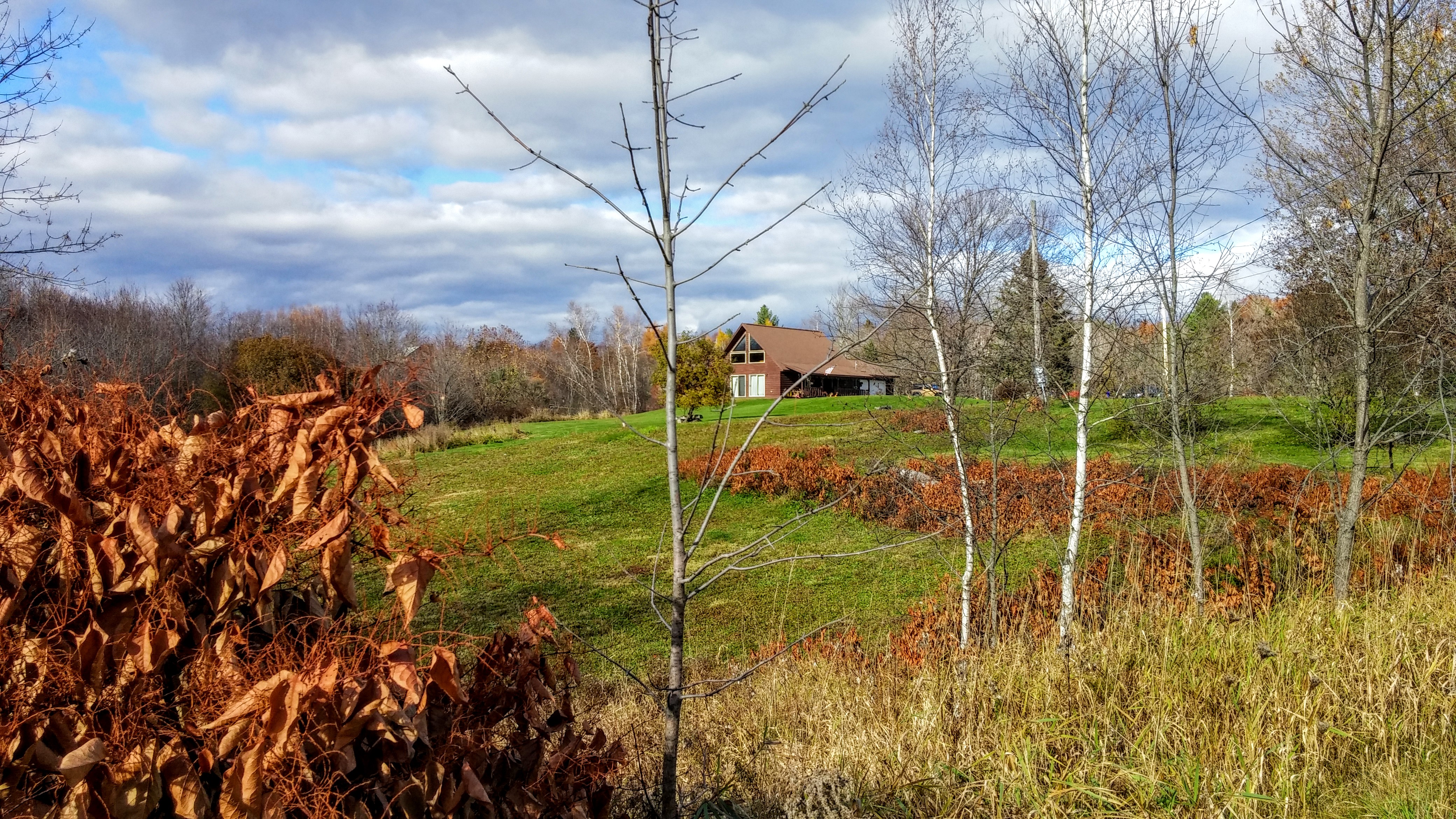
Sunset from the side-view mirror
2015 11 02 USA ME Palmyra - out for a walk
2014 10 08 USA ME Palmyra 76R
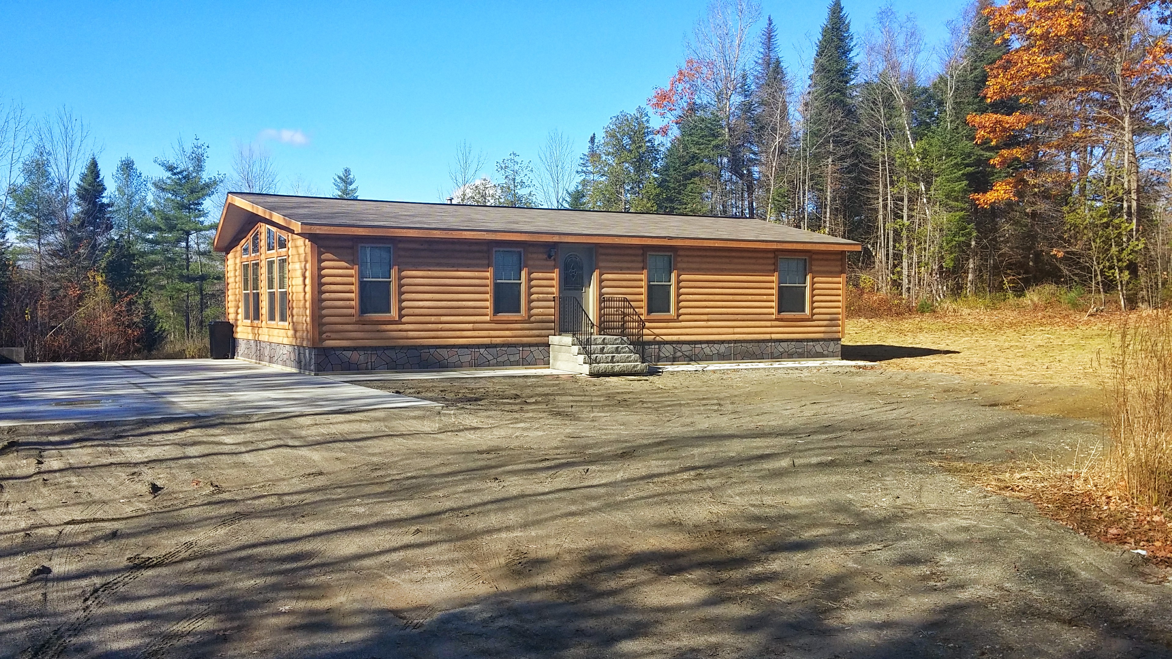
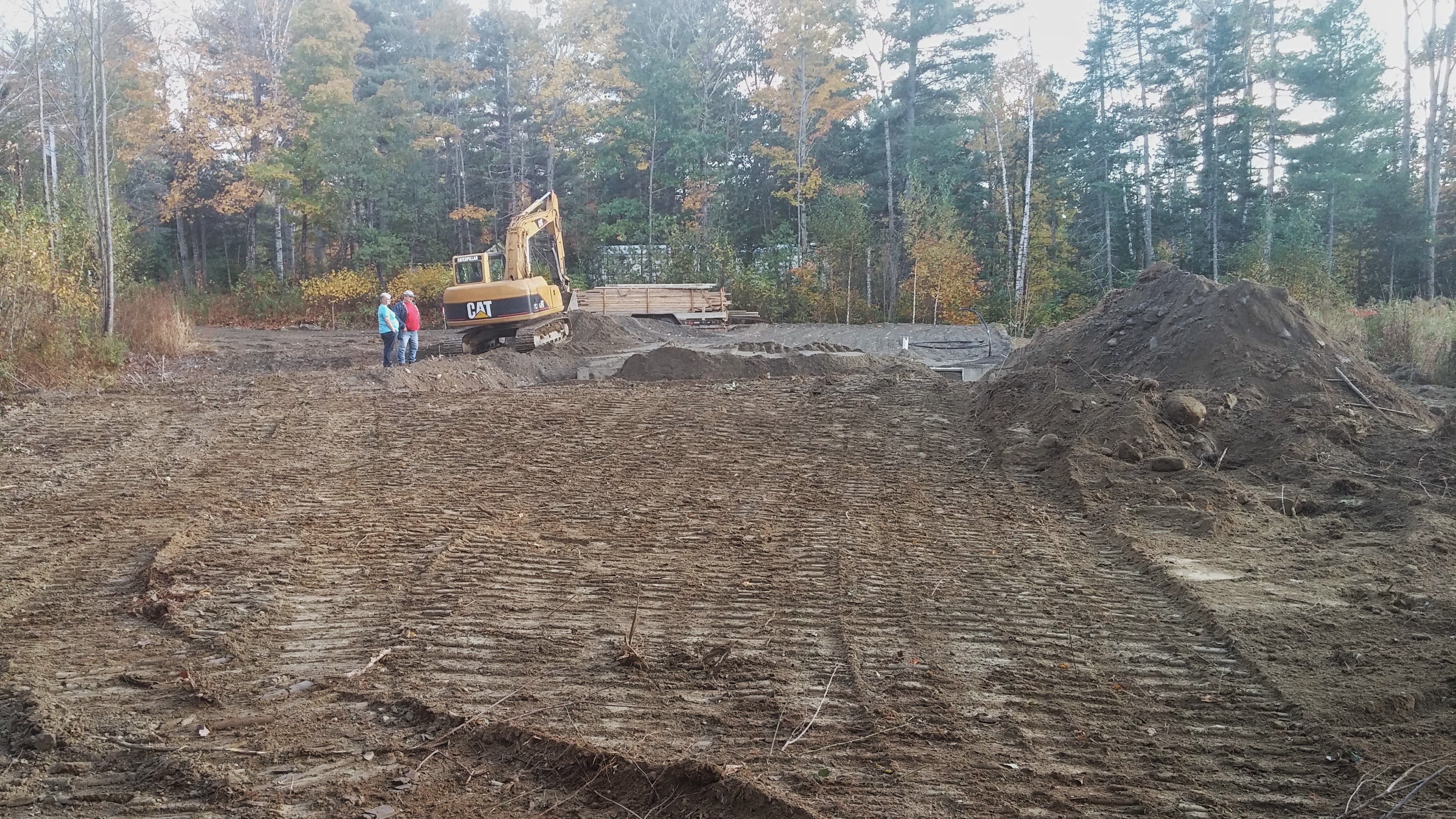
The stairs were delivered.
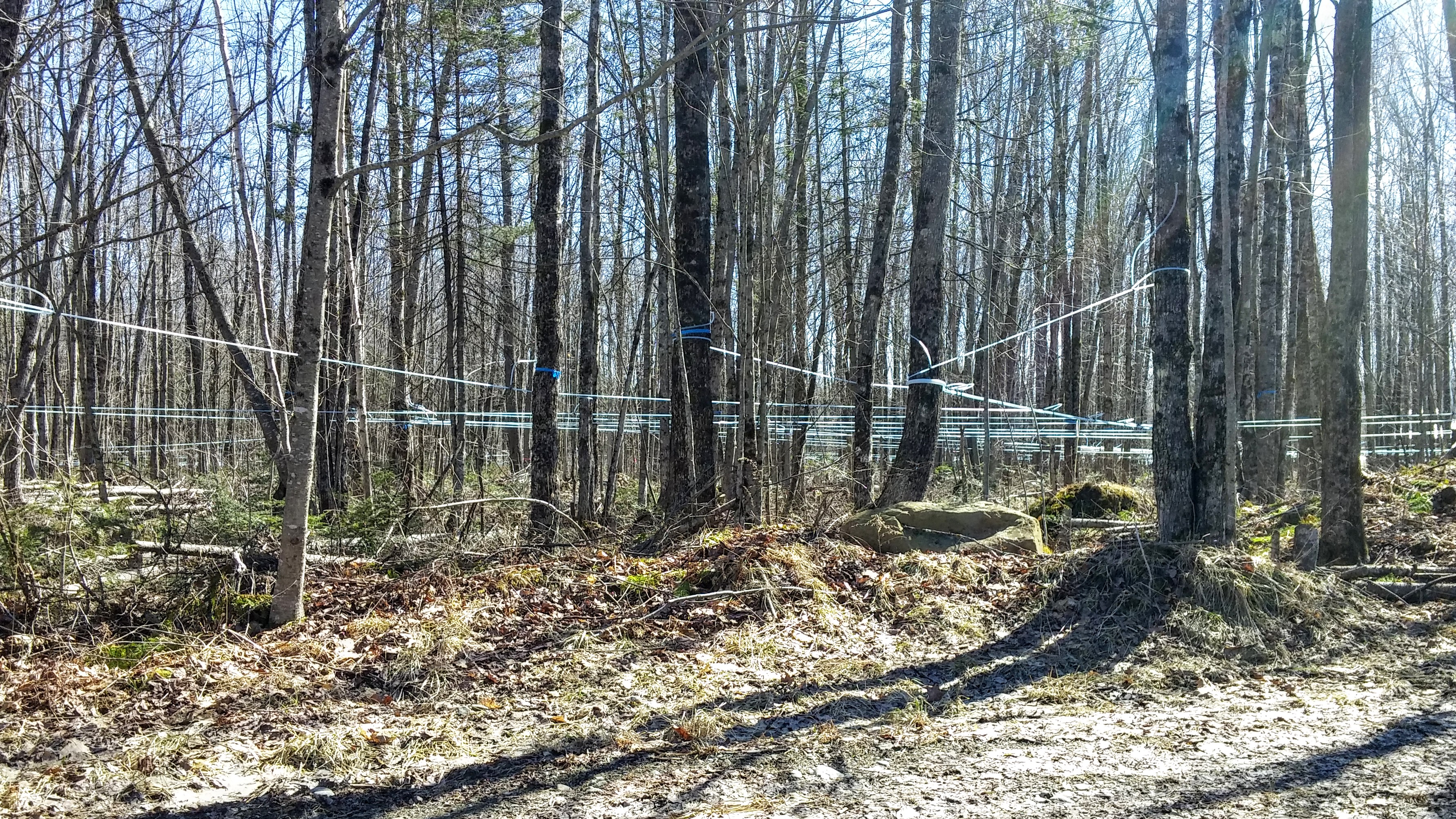
Maple Syrup 0320161319b

Some pics of my landscapes
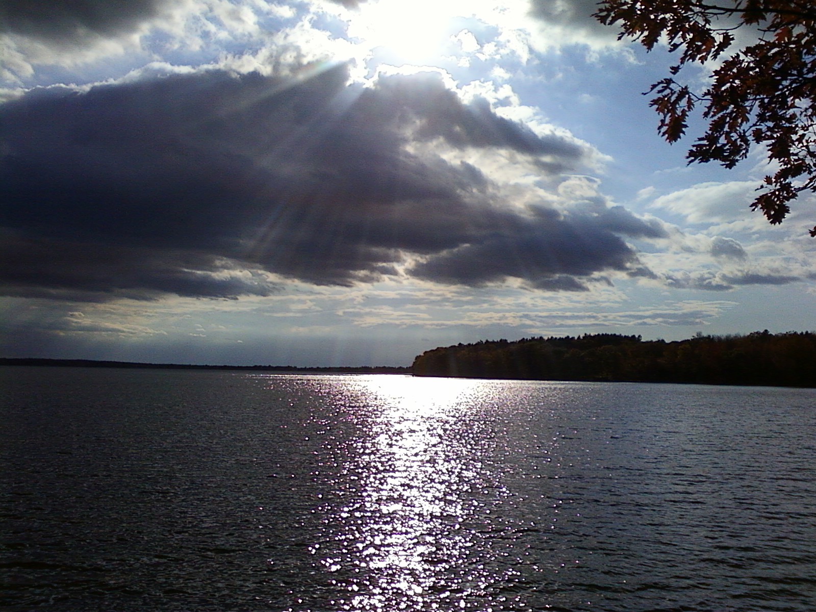
Fall At Lake Winnecook

Sunset over Unity Pond

Sunset over Unity Pond
Unity Pond Sunset

Sunset over Unity Pond

lake view, left
Lake Winnecook in June
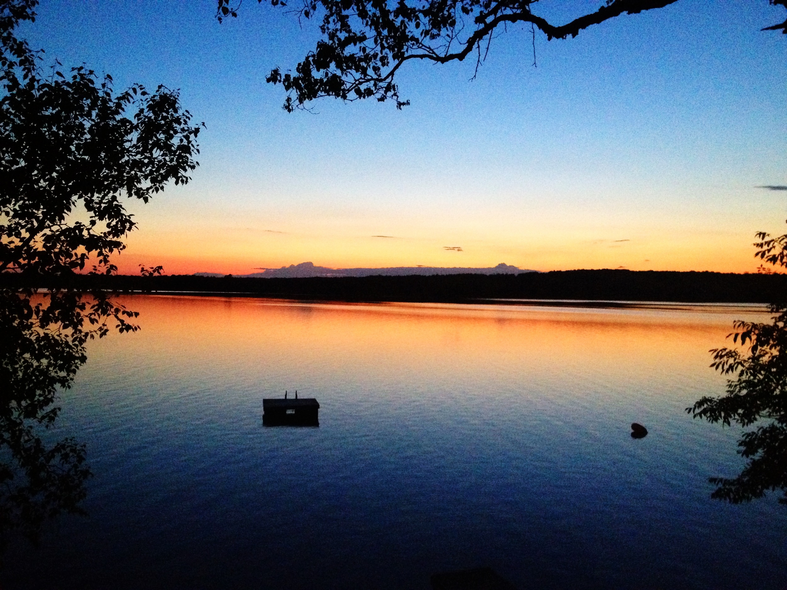
Unity Pond Sunset
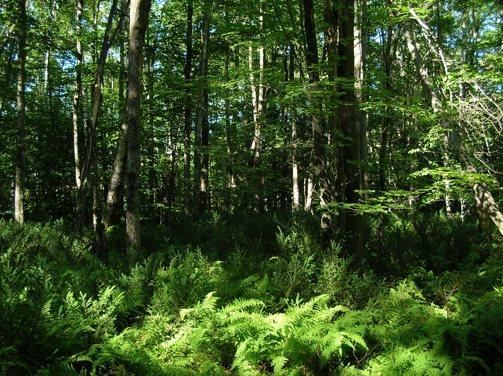
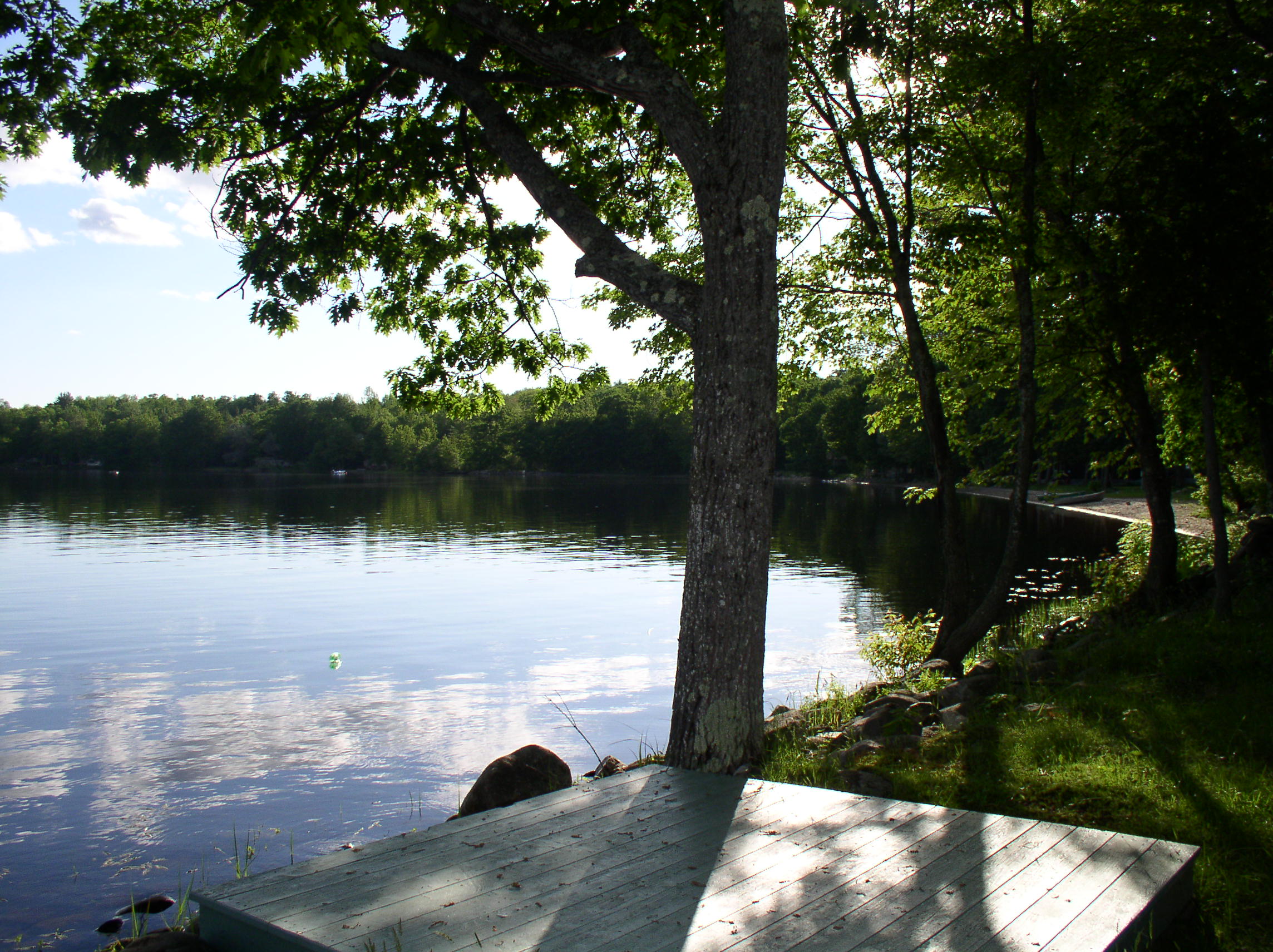
trees and ferns
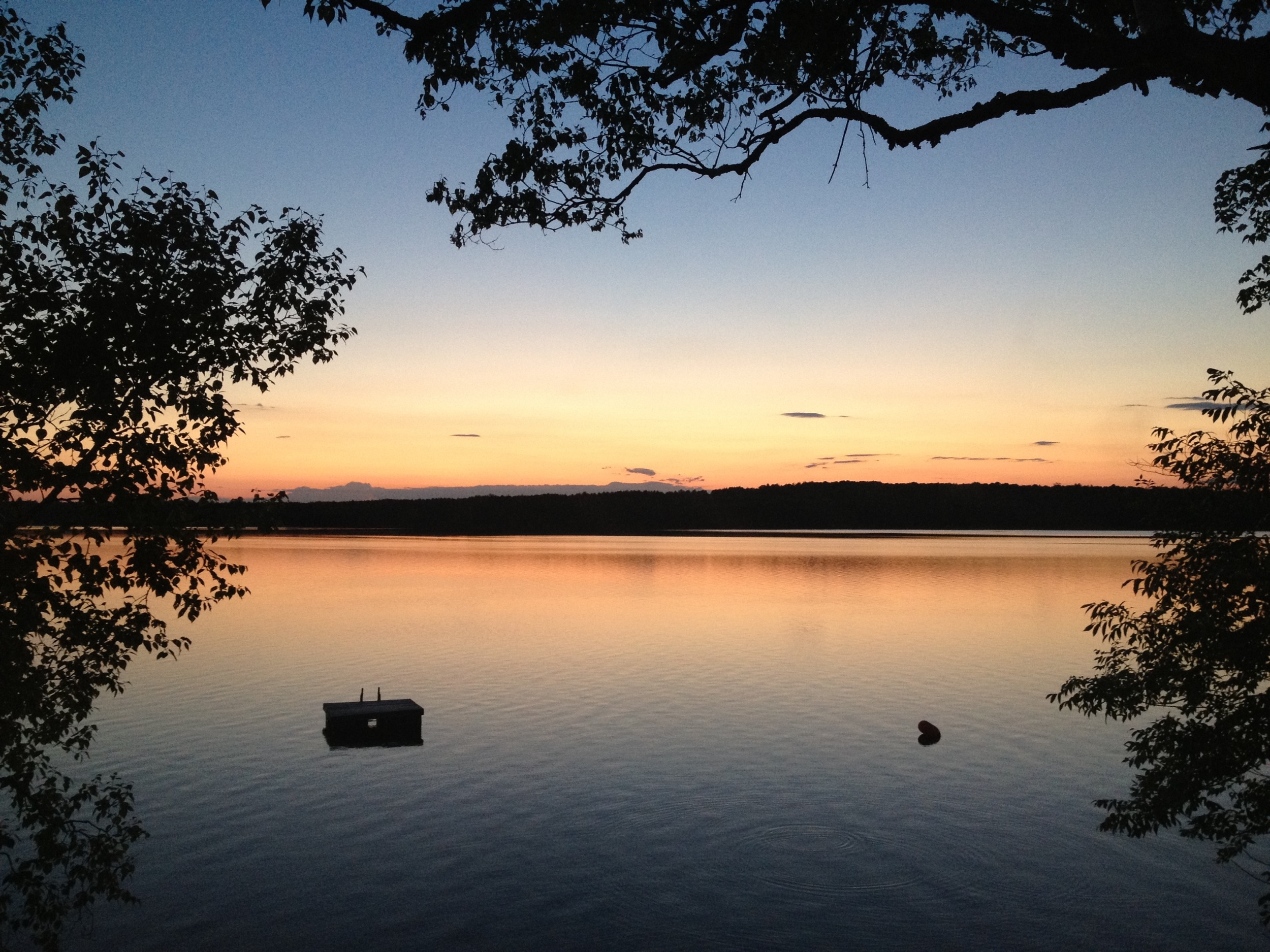
Unity Pond sunset
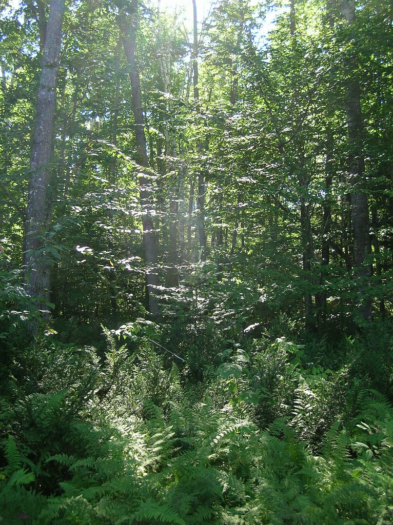
nice light at the edge of the woods
2015 11 02 USA ME Palmyra - out for a walk
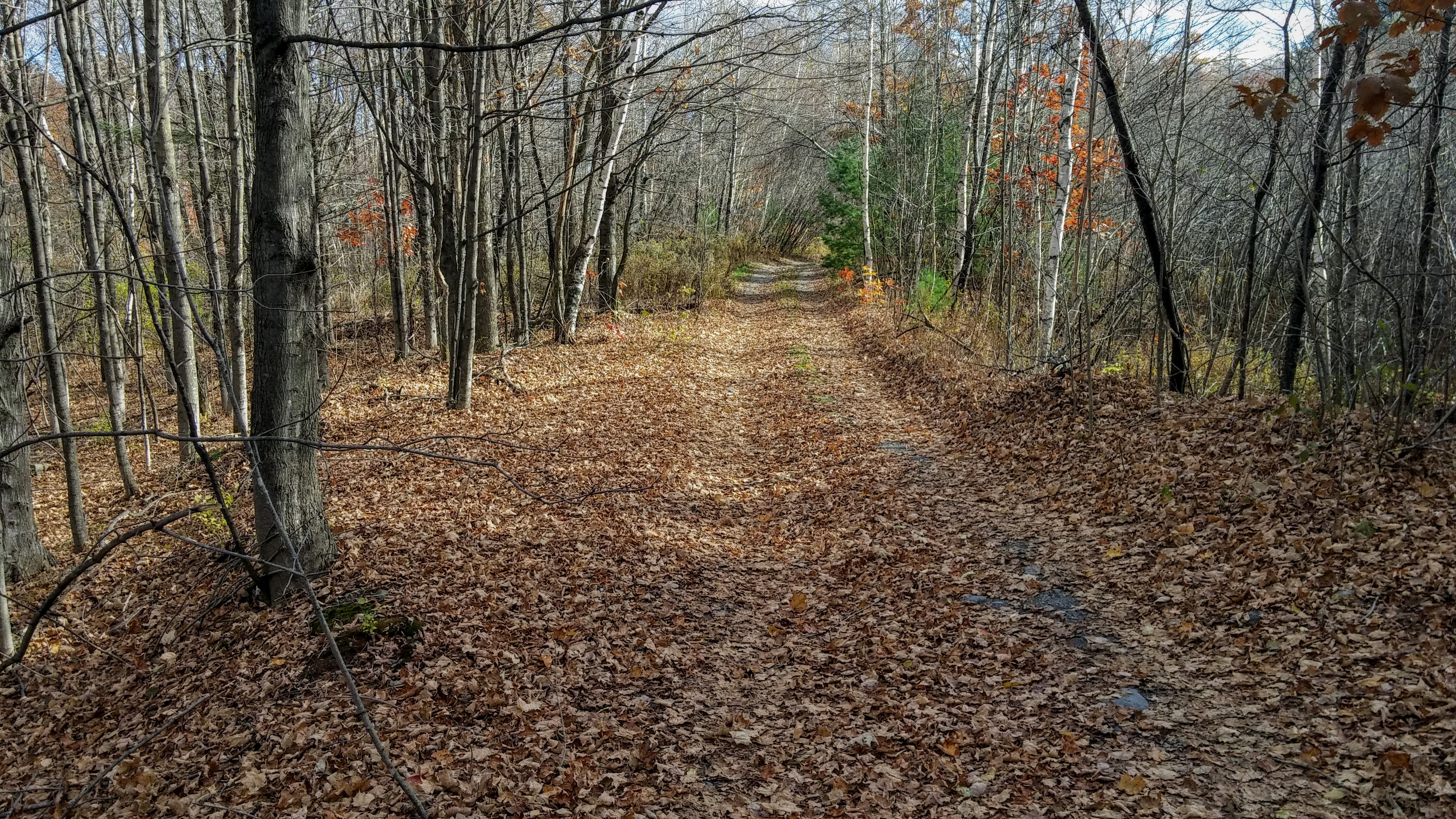
2015 11 04 USA ME Palmyra - walk through forest

2015 11 04 USA ME Palmyra - walk through forest

Fall Colours - Sibley Pond, Maine

Sunset over Unity Pond

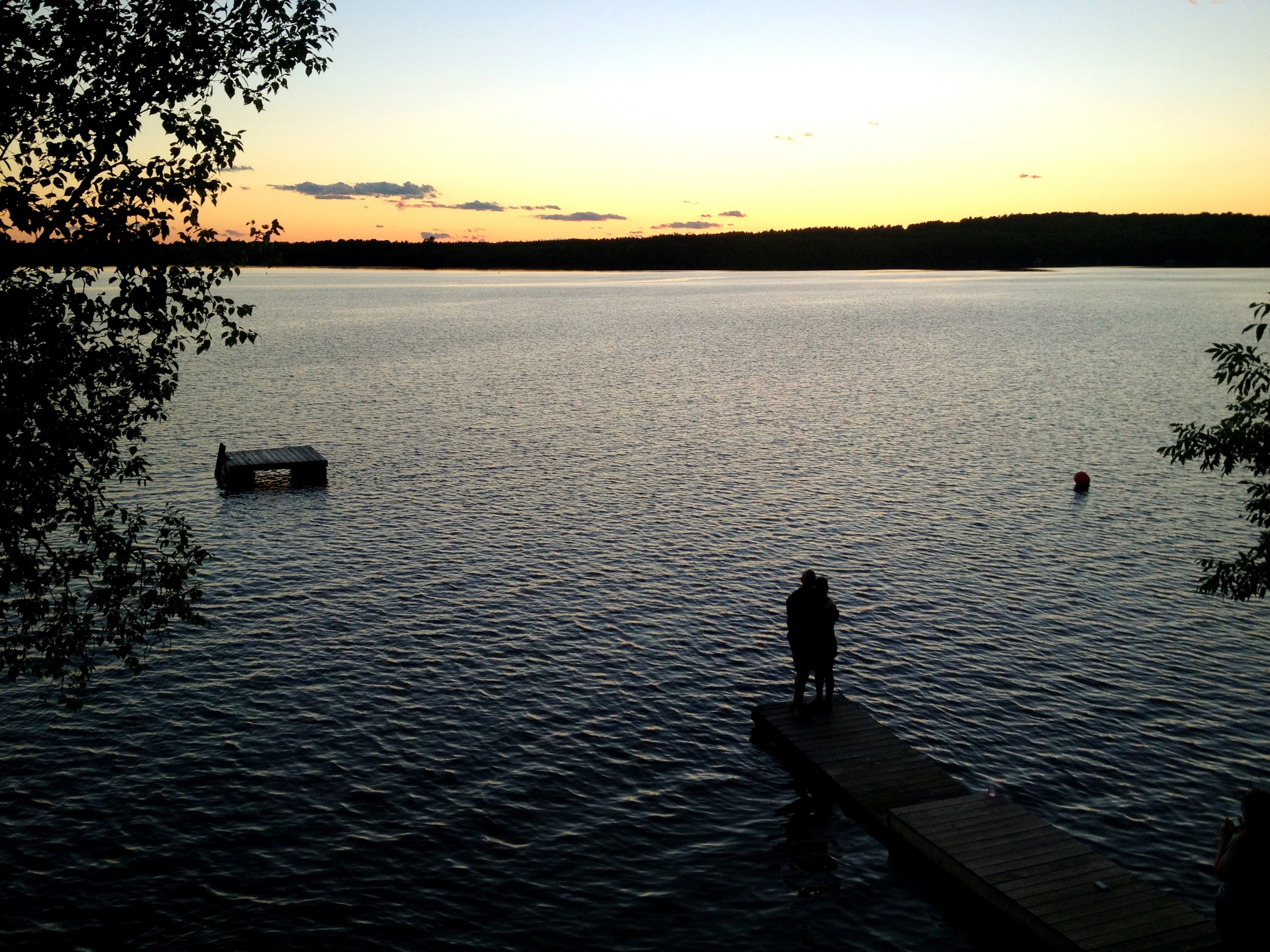
Chris and Anne
Topographic Map of Manson St, Pittsfield, ME, USA
Find elevation by address:

Places near Manson St, Pittsfield, ME, USA:
118 Manson St
Pittsfield
Pittsfield
199 Library St
165 Summer St
200 Chester St
129 Morrill St
265 Me-69
265 Me-69
Morrill Street
110 Noble Ct
137 Highland St
Waverly Ave, Pittsfield, ME, USA
371 Waverly Ave
18 Crawford Rd, Pittsfield, ME, USA
236 Madawaska Rd
Pittsfield
Canaan Rd, Pittsfield, ME, USA
Oxbow Rd, Palmyra, ME, USA
Rines Road
Recent Searches:
- Elevation of Tenjo, Cundinamarca, Colombia
- Elevation of Côte-des-Neiges, Montreal, QC H4A 3J6, Canada
- Elevation of Bobcat Dr, Helena, MT, USA
- Elevation of Zu den Ihlowbergen, Althüttendorf, Germany
- Elevation of Badaber, Peshawar, Khyber Pakhtunkhwa, Pakistan
- Elevation of SE Heron Loop, Lincoln City, OR, USA
- Elevation of Slanický ostrov, 01 Námestovo, Slovakia
- Elevation of Spaceport America, Co Rd A, Truth or Consequences, NM, USA
- Elevation of Warwick, RI, USA
- Elevation of Fern Rd, Whitmore, CA, USA